28.8
PDI
15.2 mi
DISTANCE
4,599 ft
GAINED
5.2 %
AVG. GRADE
FULL CLIMB STATS
Page Contributor(s): Nick 5, Cupcake Canyon, UT; Bird Dog, Portland, OR; Russell Mason; Kevin Keller, Grand Junction, CO
INTRO
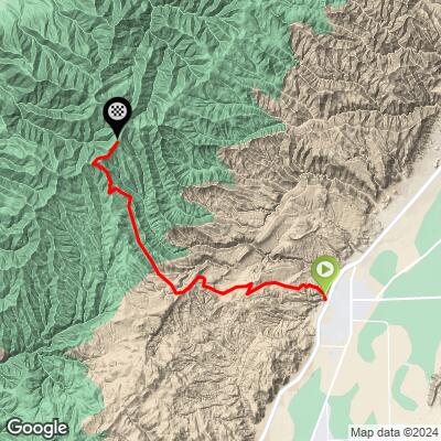
Richfield West Mountain Road climbs 15.2 miles and 4,599 feet at an average 5.2% grade (6.6% for the climbing-only portion) to 9,634 feet in Utah's Fishlake National Forest - one of the most complete gravel climbs we've found in the state.
We've ridden 10 of Utah's top 100 climbs, and this is the most epic of them - a Top 10 Most Epic climb among the roughly 100 gravel climbs we've documented across the US.
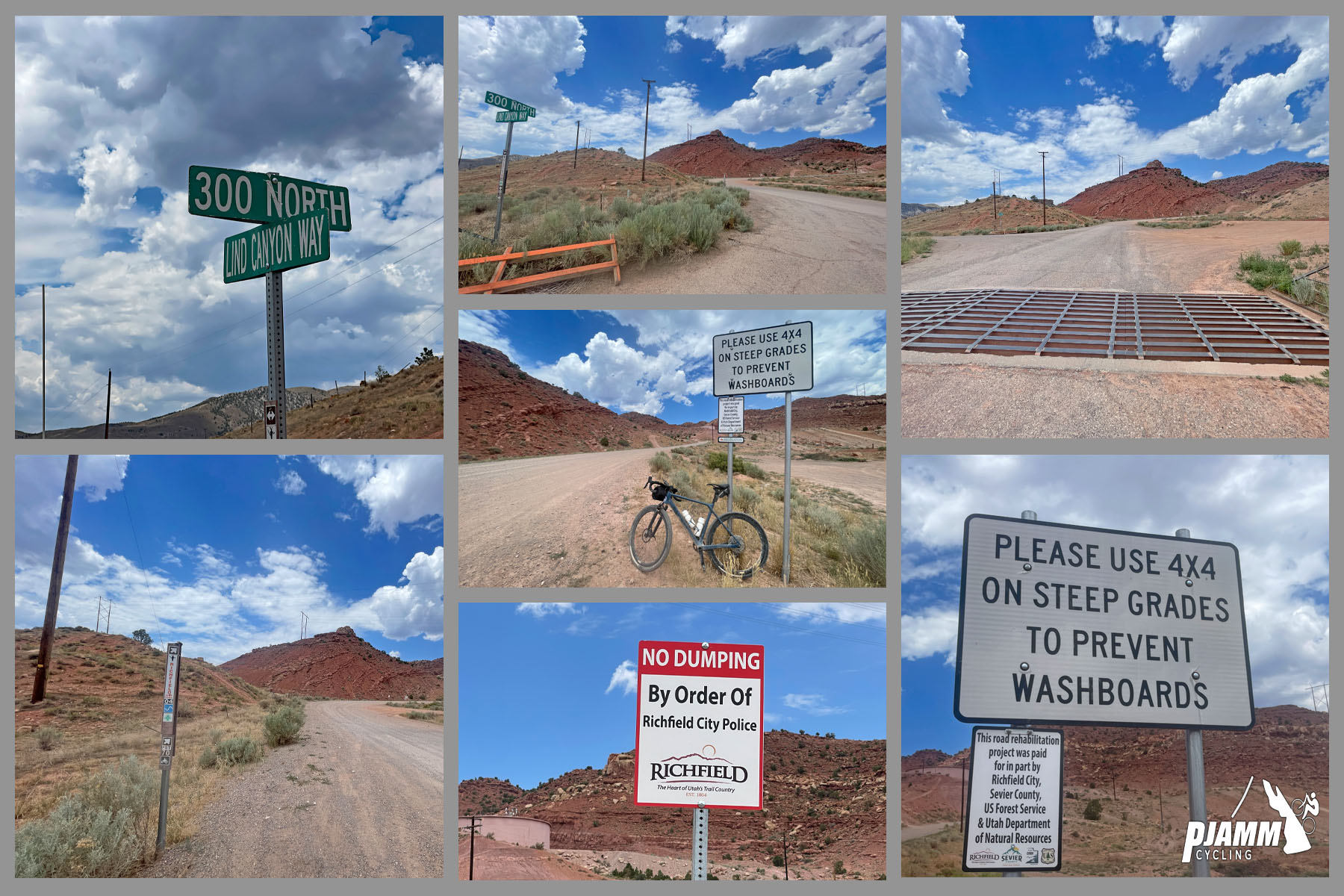
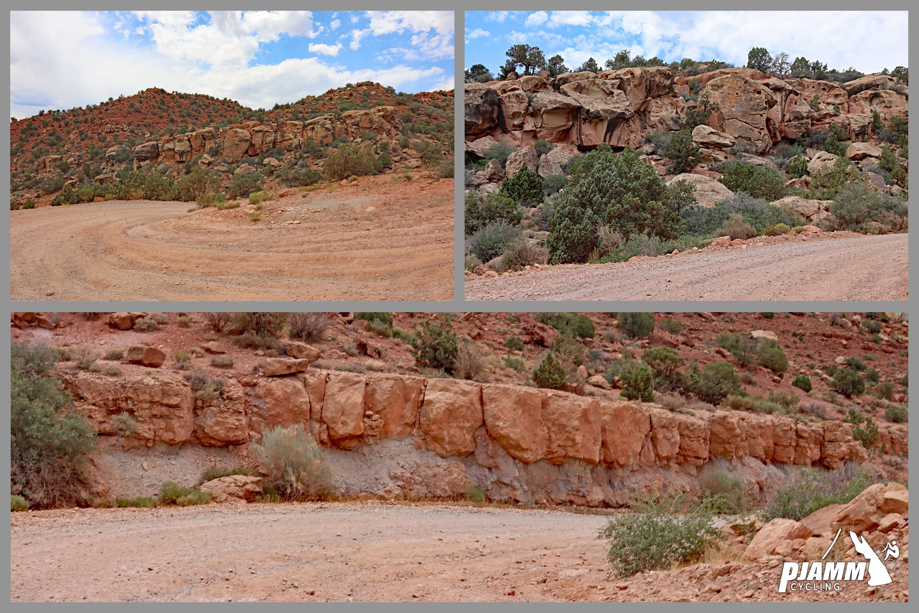
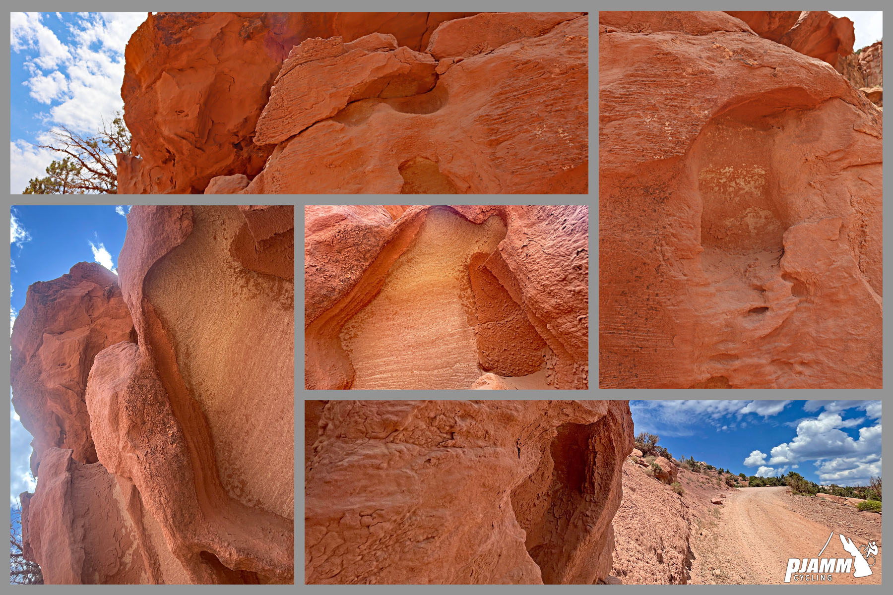
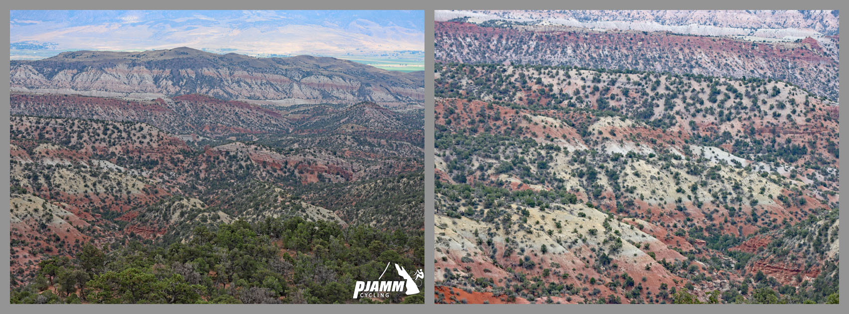
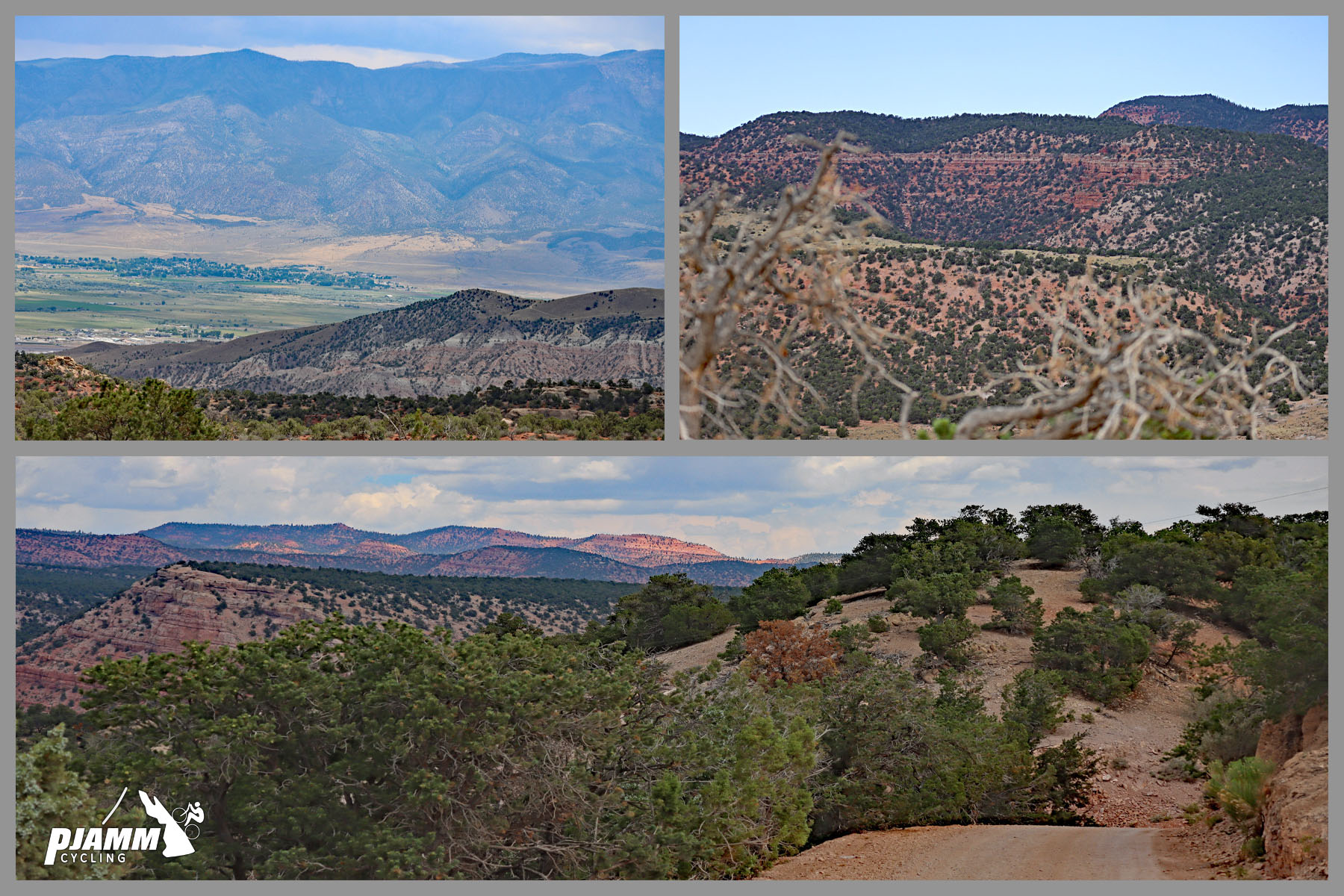
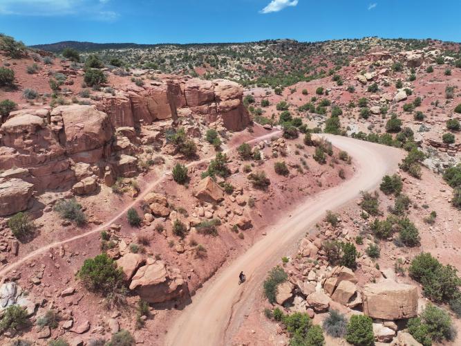
The road starts at Richfield's western edge, a small city that's served as the Sevier County seat since Mormon pioneers settled it in 1864, and climbs into the Pahvant Mountains, part of the red-rock country that colors central Utah - the rust hues come from iron oxide in the exposed limestone and sandstone.
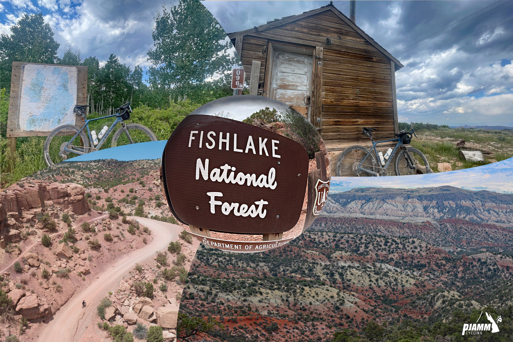
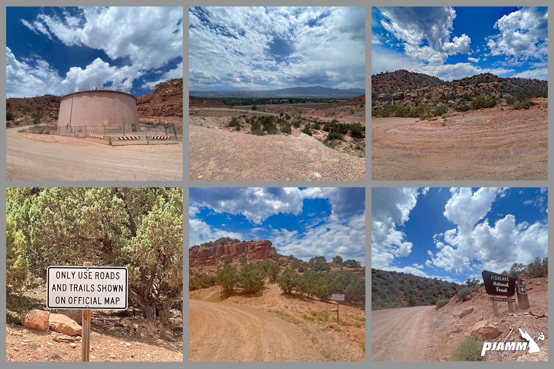
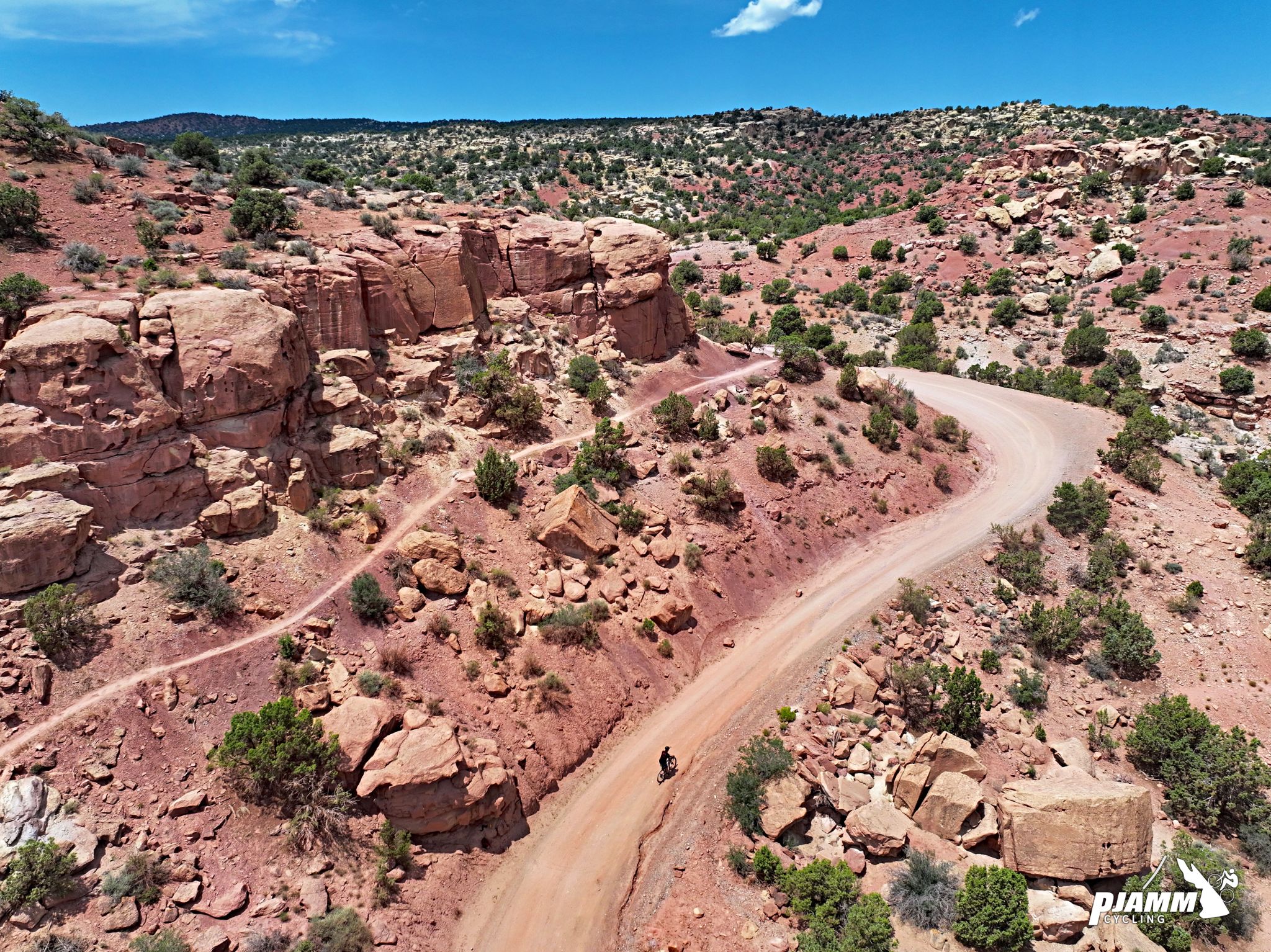
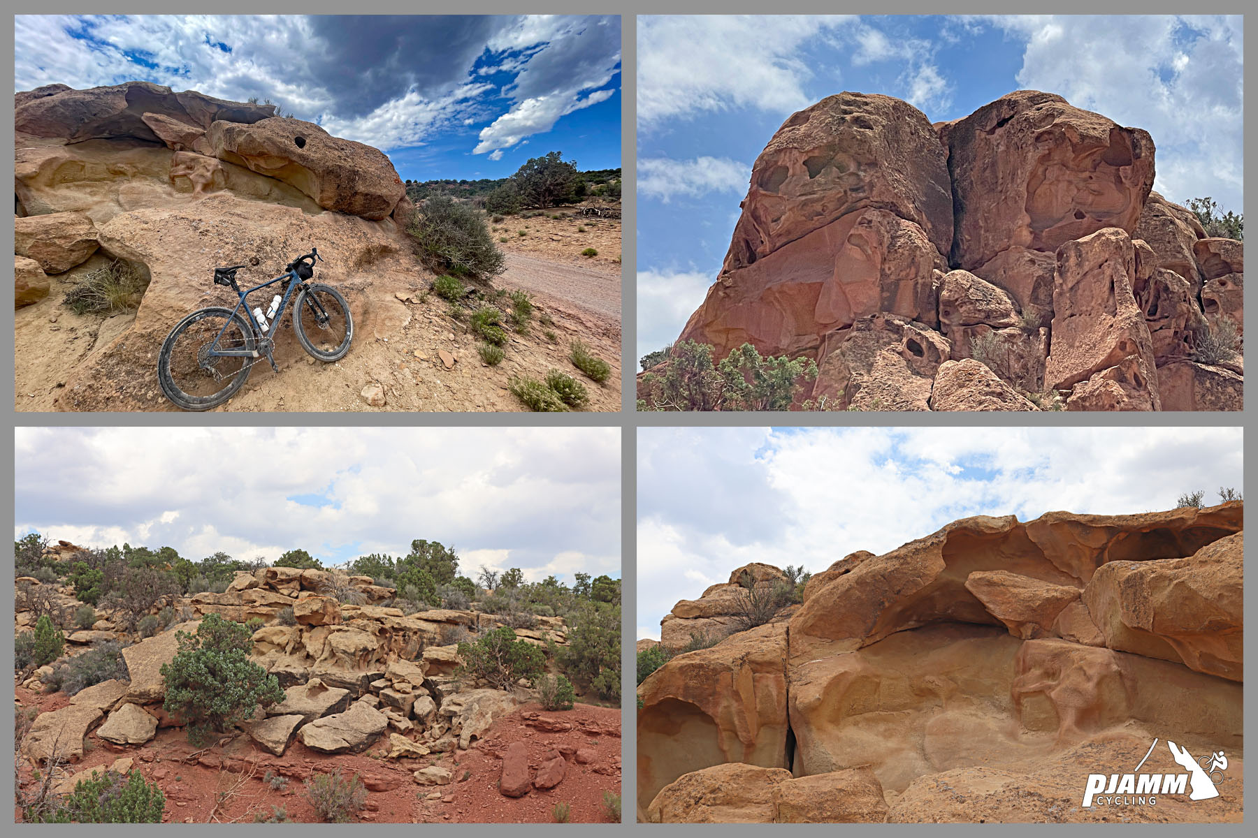
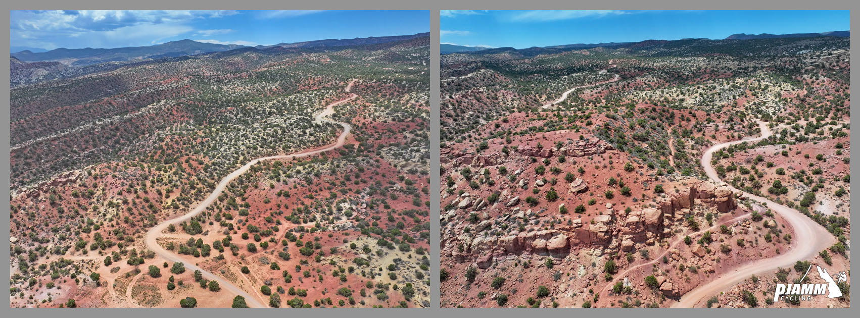
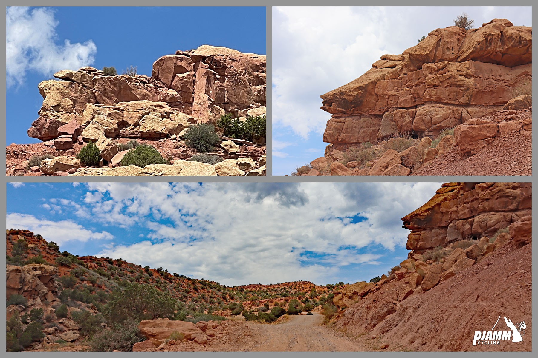
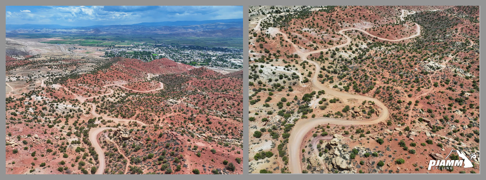
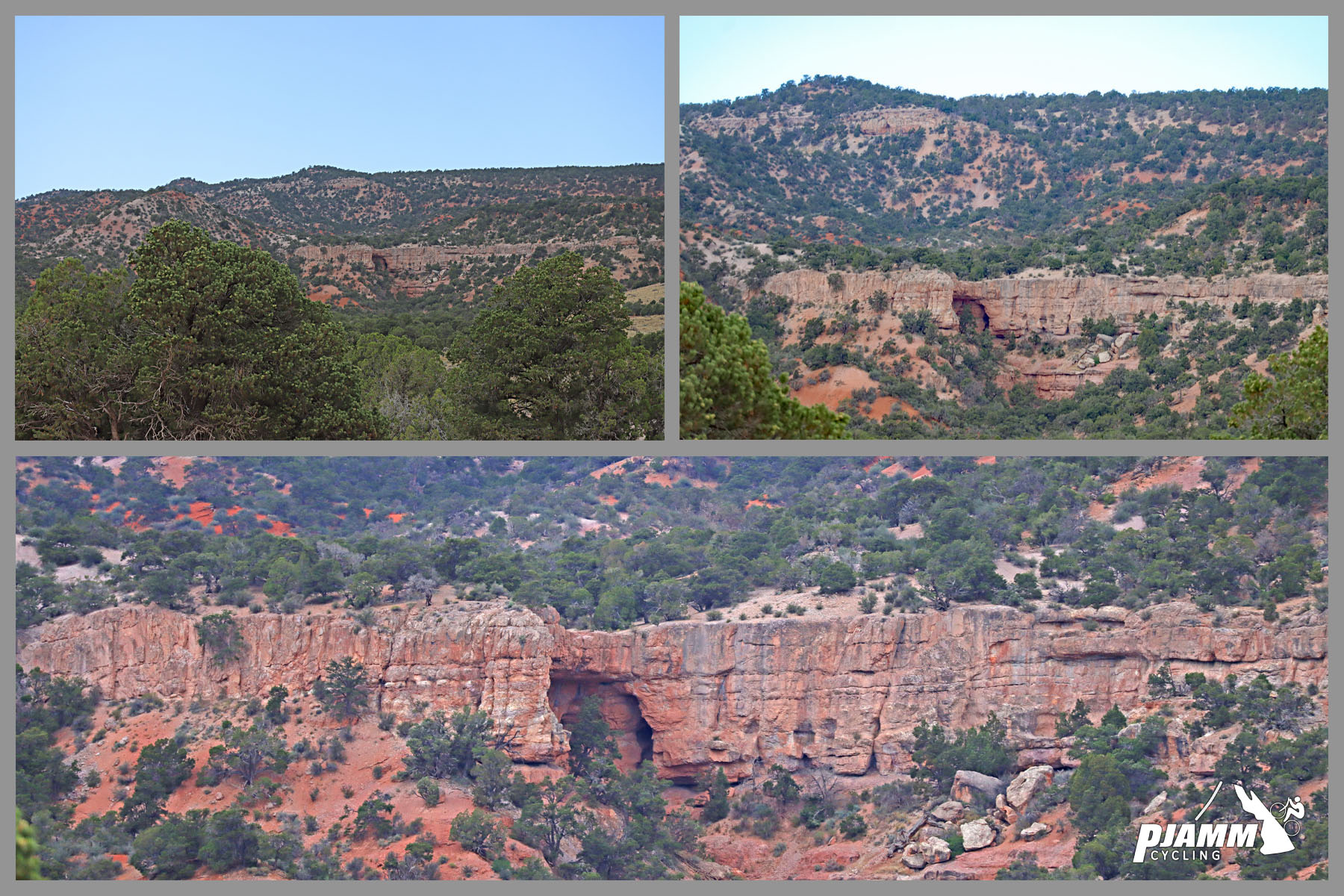
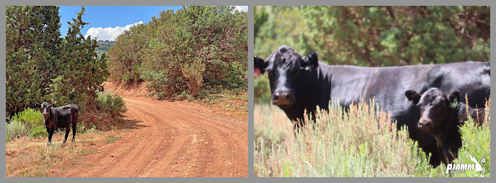
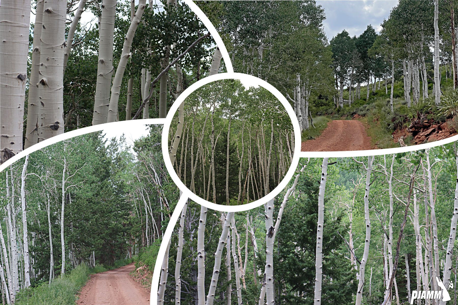
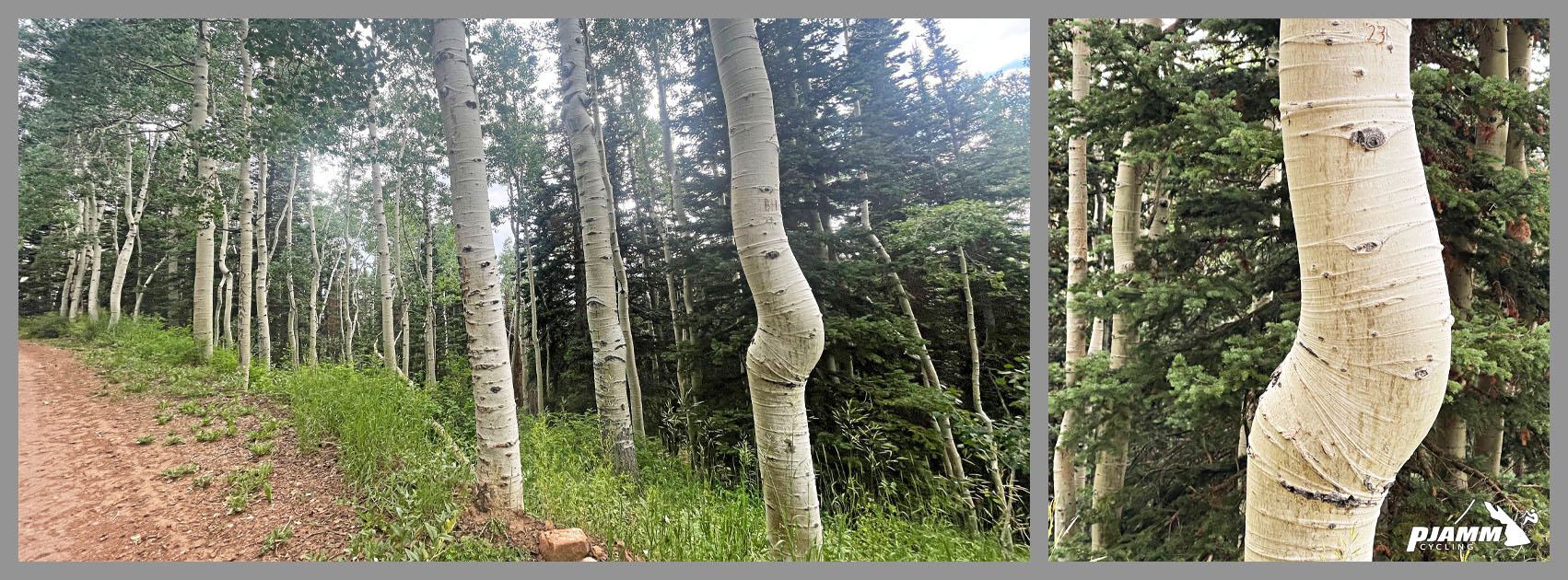
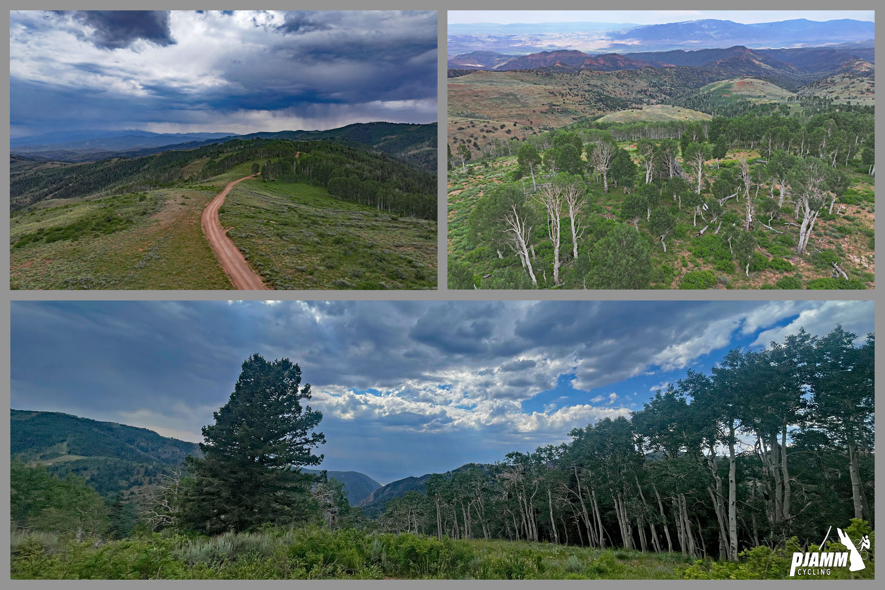
The first five miles wind past a rock quarry, boulder formations, and orange-red bluffs before the road settles into a long, rolling ascent through the forest - steep pitches alternating with flatter stretches. Around mile 13.5, near 9,000 feet, the route passes through aspen groves (Fishlake National Forest is also home to Pando, the famous 106-acre aspen "supertree" clone, about a 40-minute drive from the start, though not directly on this route). Expect ATV traffic and free-range cattle lower down.
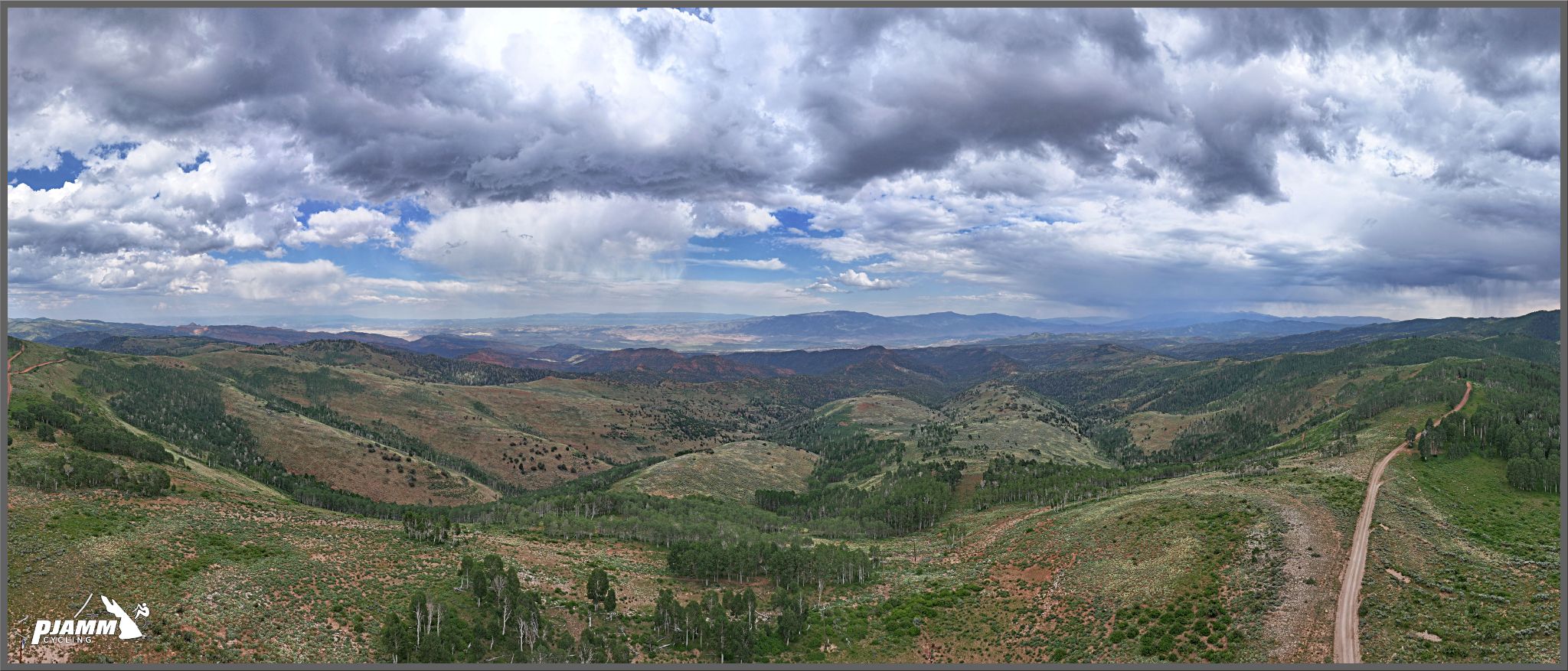
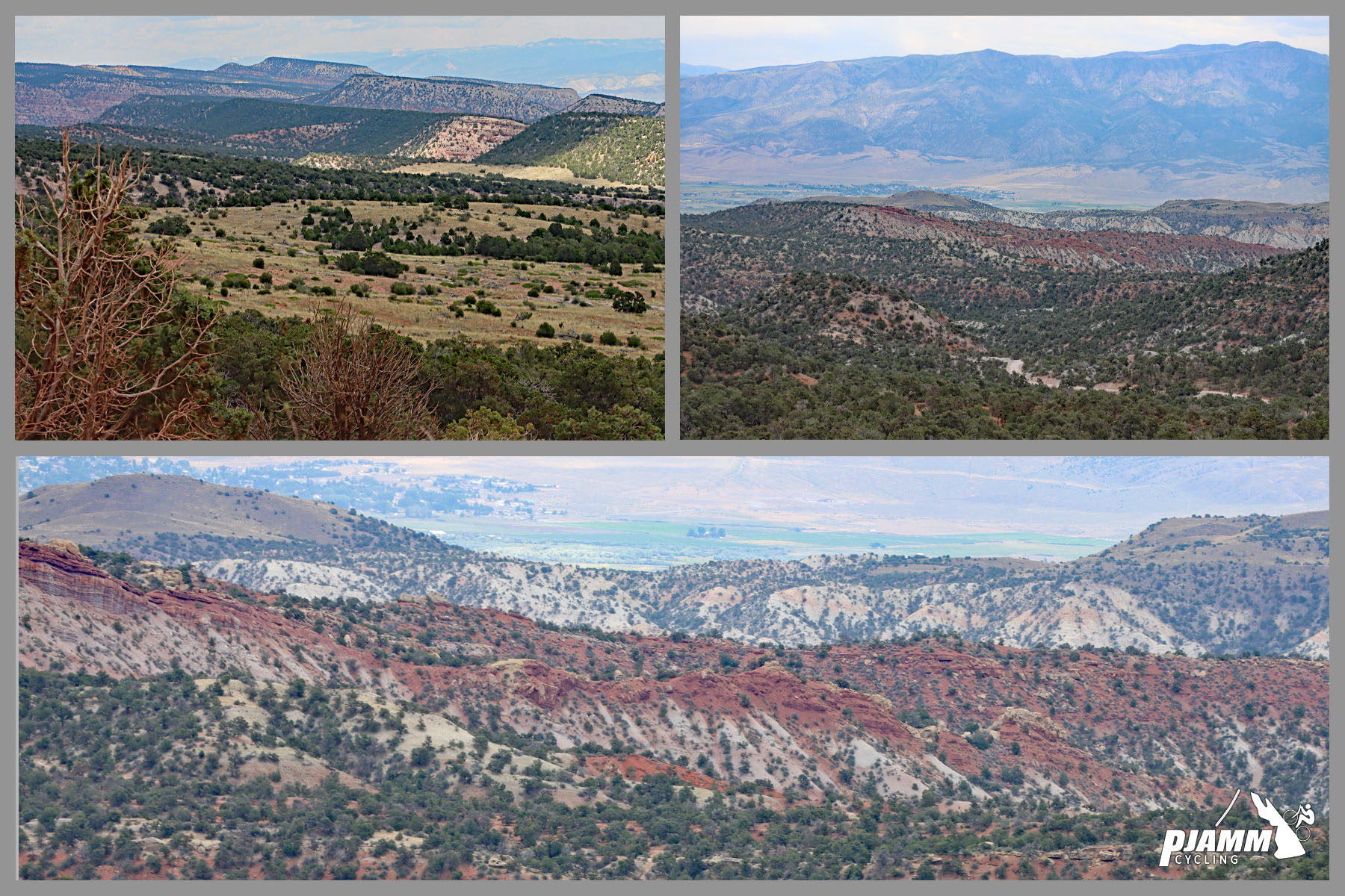
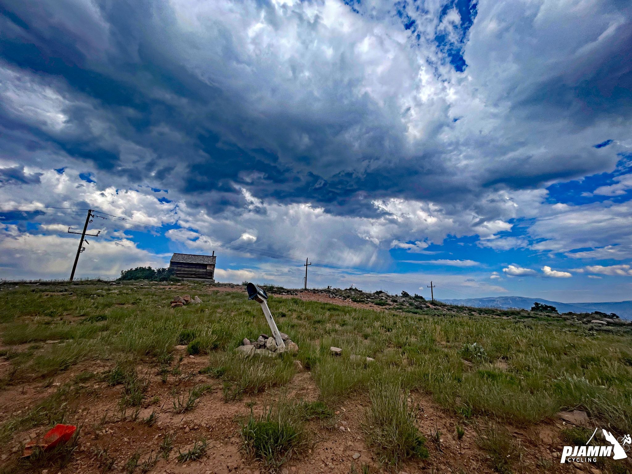
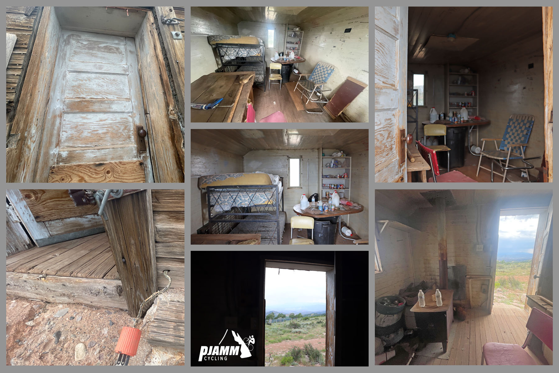
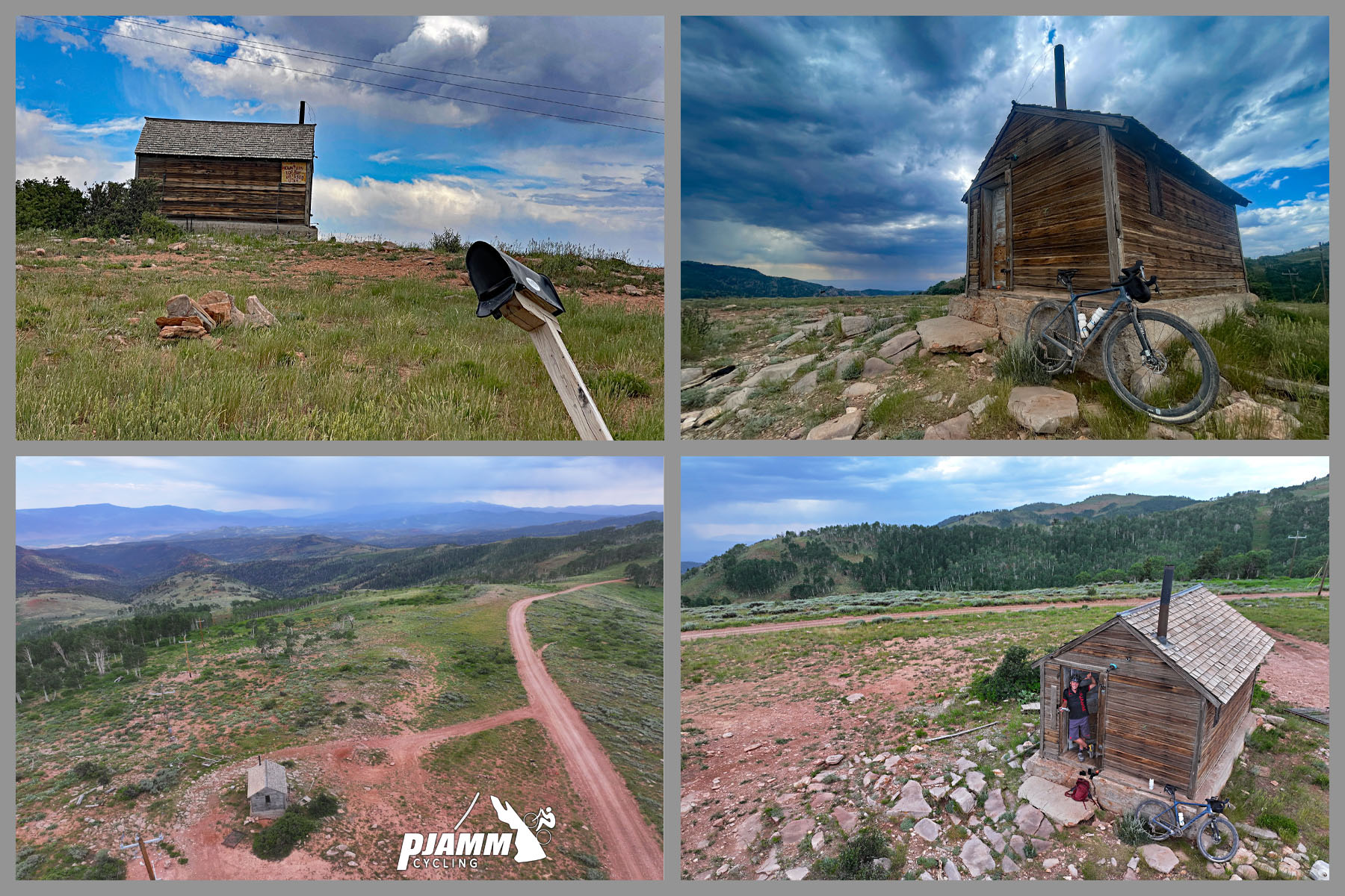
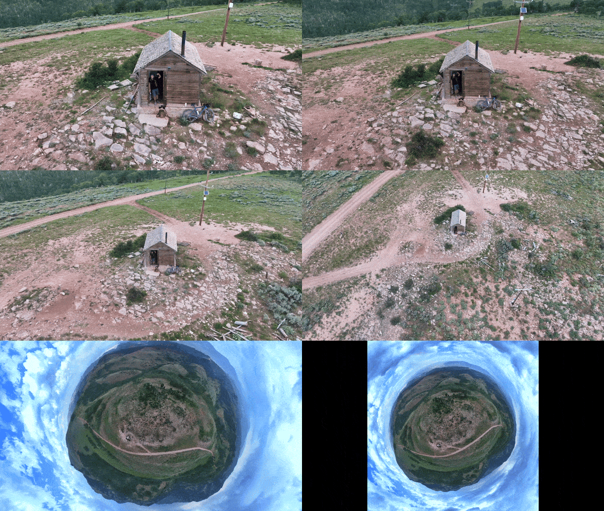
The climb tops out at an old, abandoned miner's cabin near the summit, with panoramic views over the valley.
PLAN YOUR ROUTE
 We've partnered with Sherpa-Map.com to bring you the best route planning tool. With a PRO Membership you can use this climb as a reference when creating your route.
 Richfield West Mountain Road averages 5.2% over its full 15.2 miles, but the profile is a genuine stair-step rather than a steady grind - steeper pitches alternate with flatter recovery stretches throughout, and the climbing-only portion (excluding one short downhill mid-route) averages closer to 6.6%.
Expect the steepest sustained pitches in the first five miles as the road works up past the quarry and into the forest boundary; the middle and upper sections settle into a more even, moderate grade as the road approaches its 9,634-foot high point near the aspen groves around mile 13.5.
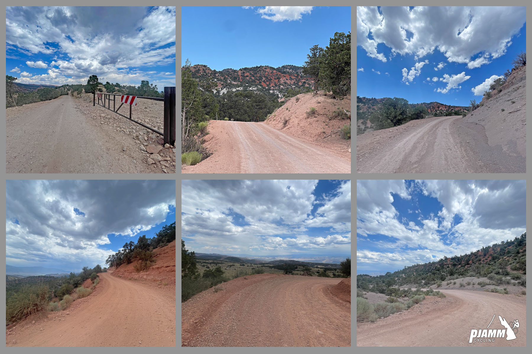
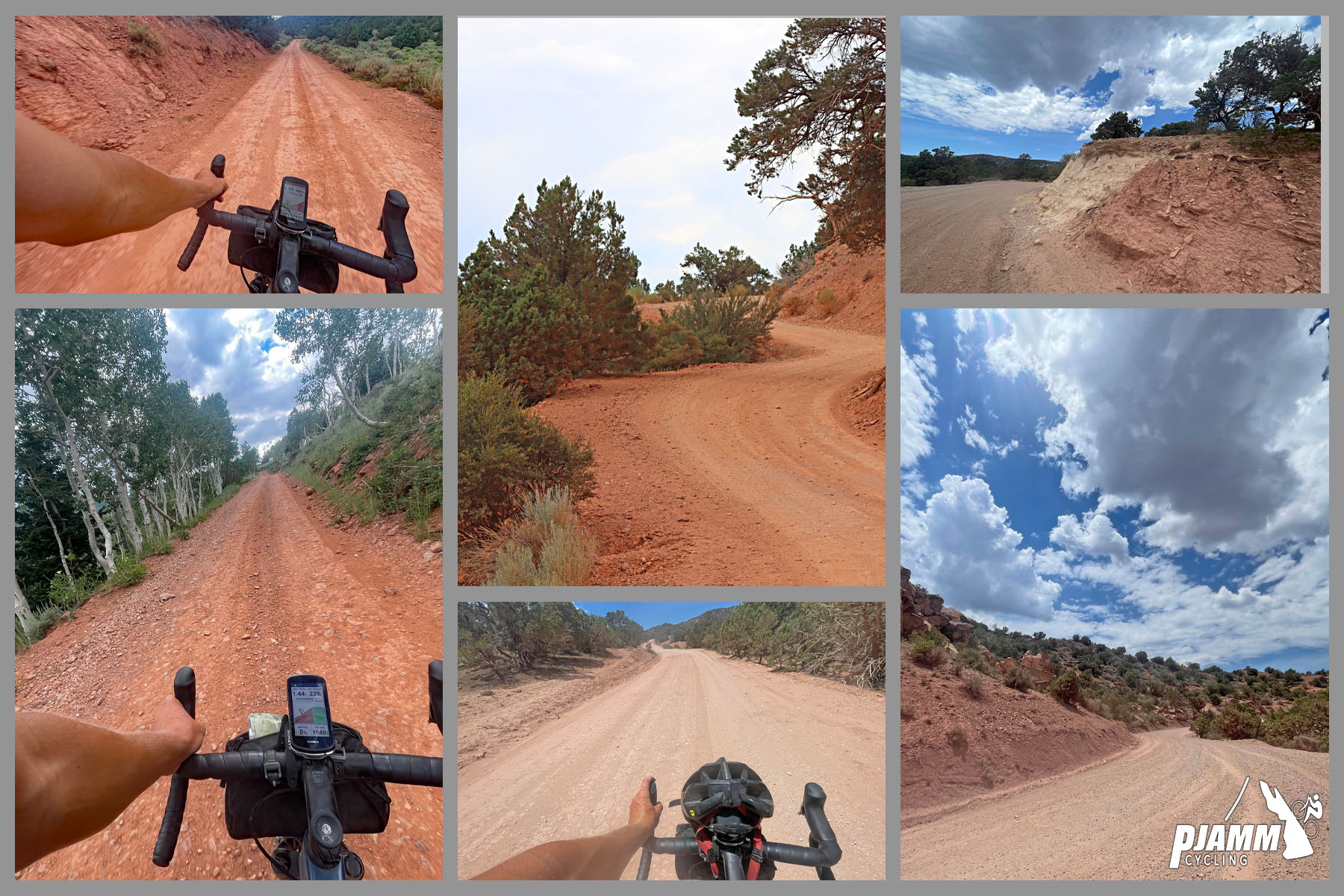
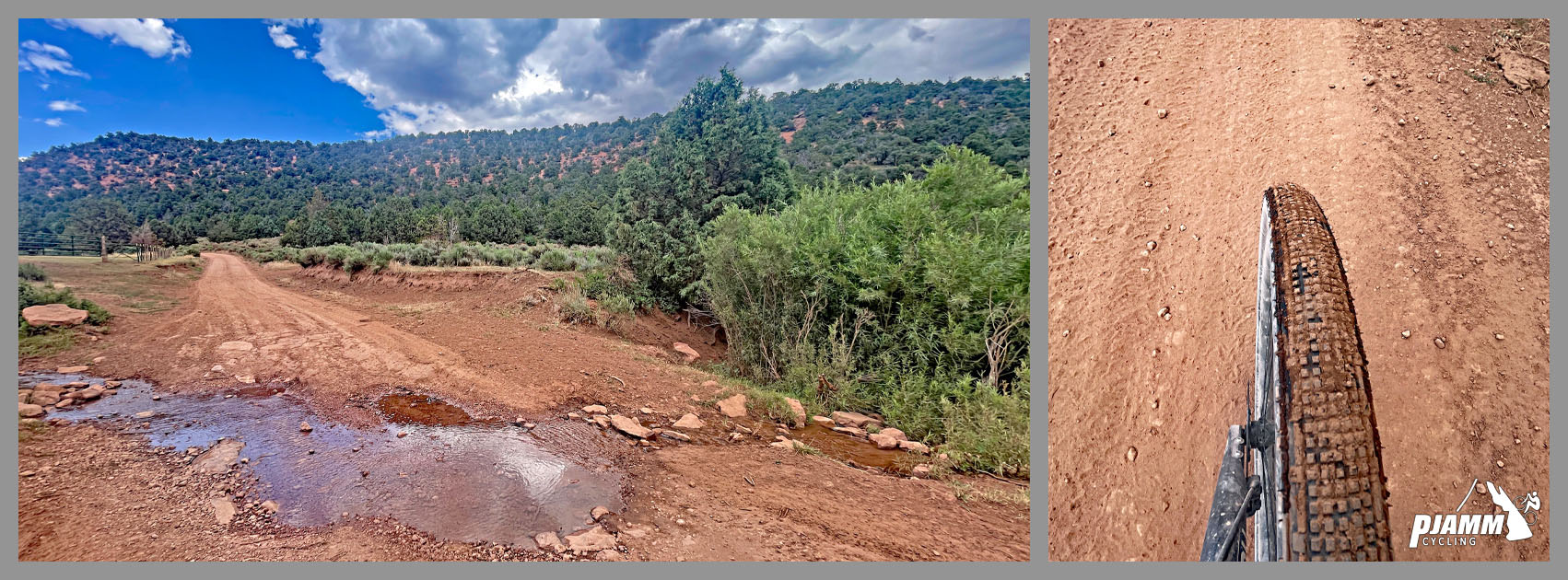
Roadway: The road is genuinely rideable on a standard gravel bike start to finish - decent quality throughout, with some rocky sections and a few patches of fine, loose dirt, but nothing technical. The first couple of miles have the most consistent hardpack surface; the middle and upper sections vary more but stay manageable on 35-40mm tires.
Traffic: Light vehicle traffic, but expect ATVs - this part of Fishlake National Forest is popular with off-highway-vehicle riders, and they can be the dominant traffic on a given day. There's also free-range cattle lower down, so watch for livestock as well as loose gravel kicked up by passing vehicles.
Parking: Park in Richfield near the western edge of town, close to where Richfield West Mountain Road leaves the highway grid and heads into the forest. There's no formal trailhead lot - roadside parking on the edge of town is standard before starting the climb.
This climb is comfortably doable on a standard gravel bike - our contributors are consistent on that point. As one put it, it's "100% rideable on gravel bike - that would be my preference for the climb." Others describe the surface as "pretty civil double track" with sections that are "a little rough and steep in places but nothing technical," and note the road doubles as the local shuttle route up the mountain. A mountain bike with suspension isn't necessary, but if you're riding one anyway you won't be at any disadvantage.
Carry all the water and food you'll need - there's nothing along the route once you leave Richfield. A wider gravel tire (38mm or more) handles the rockier, looser sections more comfortably than a narrow road-plus setup, and standard low gearing is worth having for the steeper pitches in the stair-step profile.
Before heading out on any cycling adventure check out our Things to Bring on a Cycling Trip and use our interactive check list to ensure you don't forget anything.
Richfield sits directly on the I-70/US-89 corridor about 160 miles south of Salt Lake City, so it's a natural stop on a longer central-Utah trip. The town has the usual small-city services - gas, groceries, lodging - all close to the start of the climb.
Fishlake National Forest surrounds the upper part of the route, and Pando, the world's largest known living organism (a single aspen clone spanning 106 acres near Fish Lake), is about a 40-minute drive from the start if you want to add a stop before or after your ride.
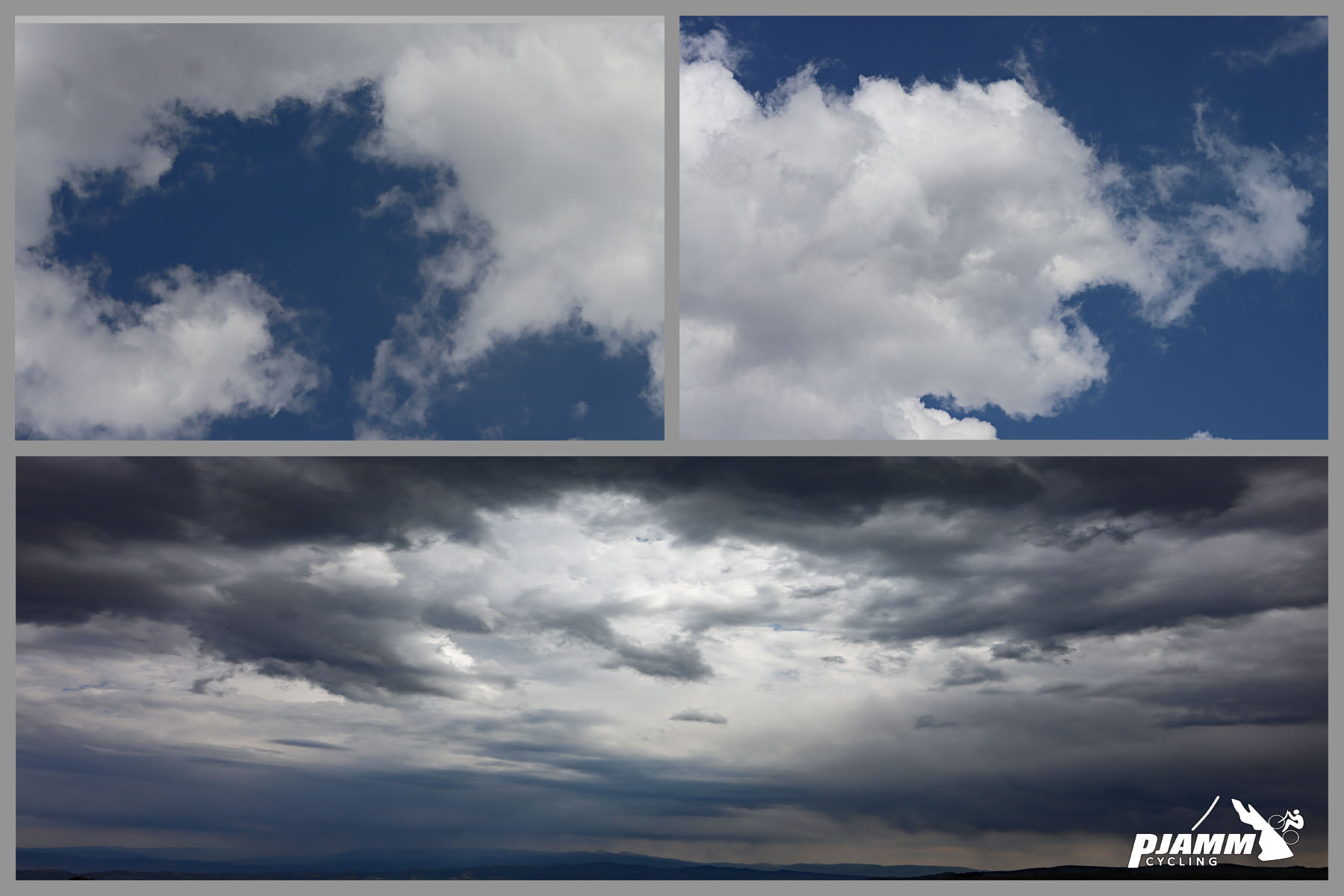
Expect changeable mountain weather at elevation - afternoon thunderstorms build quickly this high up, so plan to be off the summit before they roll in. Check current Fishlake National Forest road conditions with the Richfield Ranger District (435-896-9233) before you go, since these forest roads aren't maintained through winter and conditions can change with weather or repair work.
ROUTE MAP
MEMBER RATING
CURRENT WEATHER
PJAMM TRIPS ADVENTURE STARTER BUNDLES
Check out PJAMM Adventure's prepackaged (self-guided) cycling trips. They will help you plan, document and conquer your next adventure.
NEARBY CLIMBS (0) RADIAL PROXIMITY
FROM No Climbs Found
MEMBER REVIEWS & COMMENTS
Let us know what you thought of this climb. Signup for our FREE membership to write a review or post a comment.
Already have an account?
LOG IN HERE