32.1
PDI
7.6 mi
DISTANCE
3,528 ft
GAINED
8.9 %
AVG. GRADE
FULL CLIMB STATS
Page Contributor(s): Rob Selina, Socorro, NM; Eric Robinson, NM
INTRO
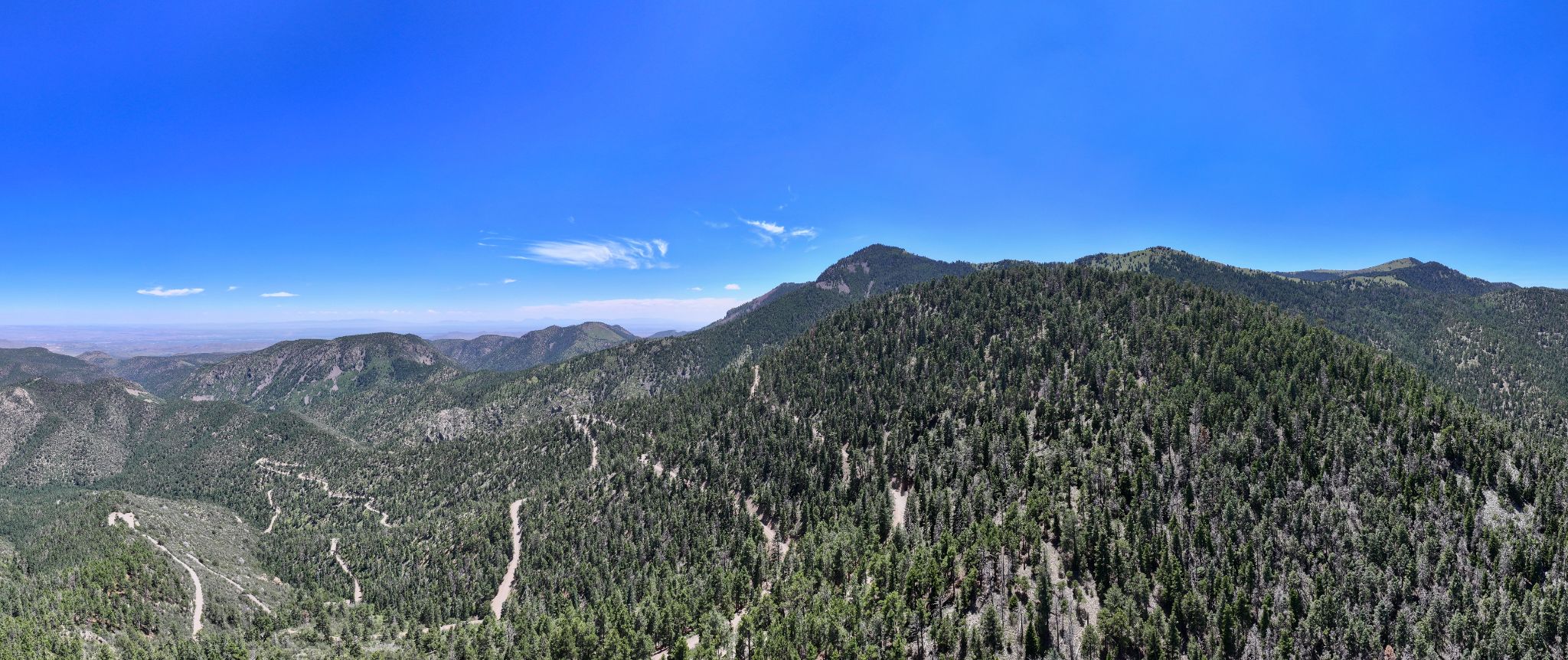
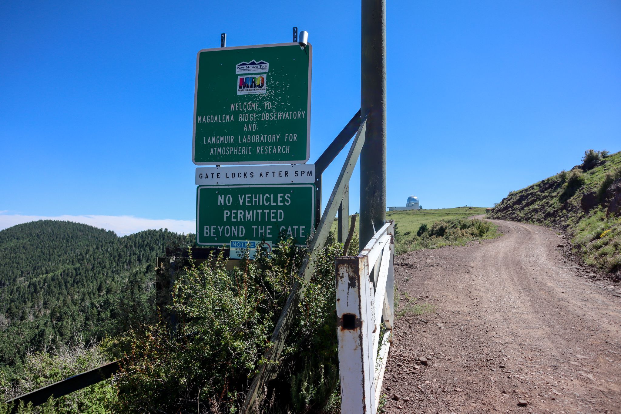
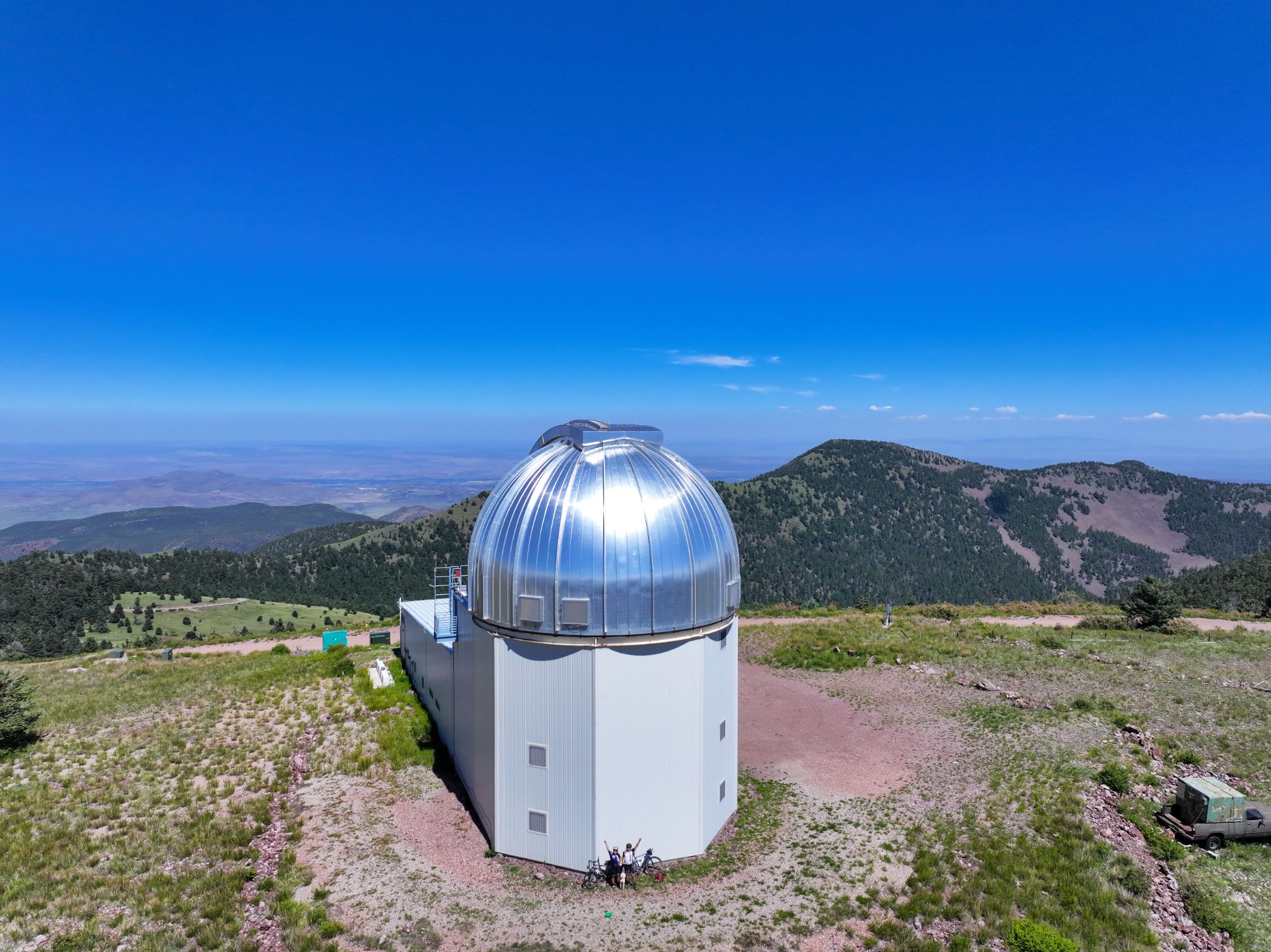
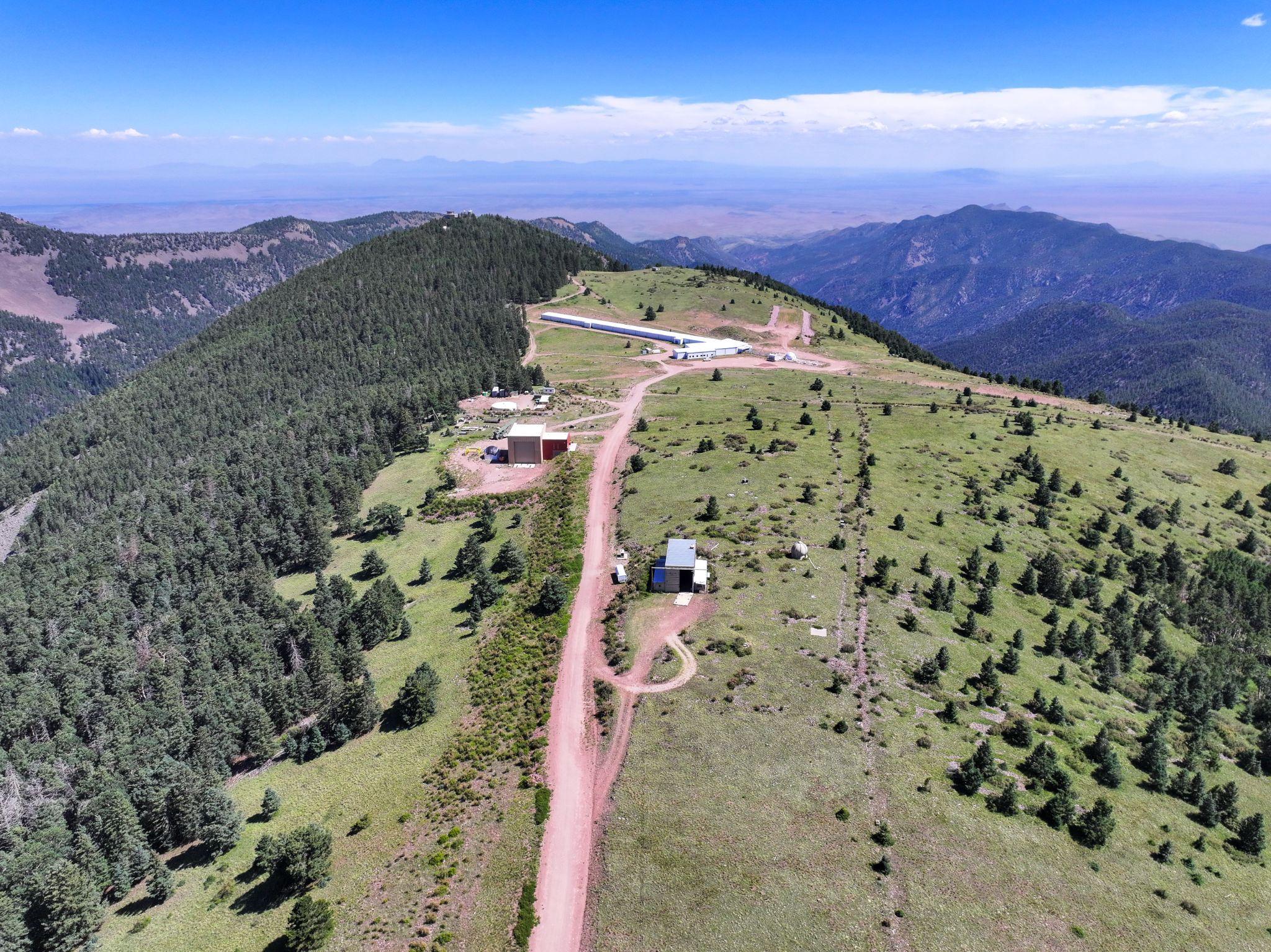
Water Canyon Road climbs 7.56 miles and gains 3,528 feet at an average grade of 8.88% as it rises from the high desert near Magdalena, New Mexico, into the Magdalena Mountains of the Cibola National Forest. Starting at 6,868 feet along US Highway 60, the road tops out just over 10,400 feet near the gate of the Langmuir Laboratory for Atmospheric Research, a New Mexico Tech research station on the shoulder of 10,783-foot South Baldy Peak.
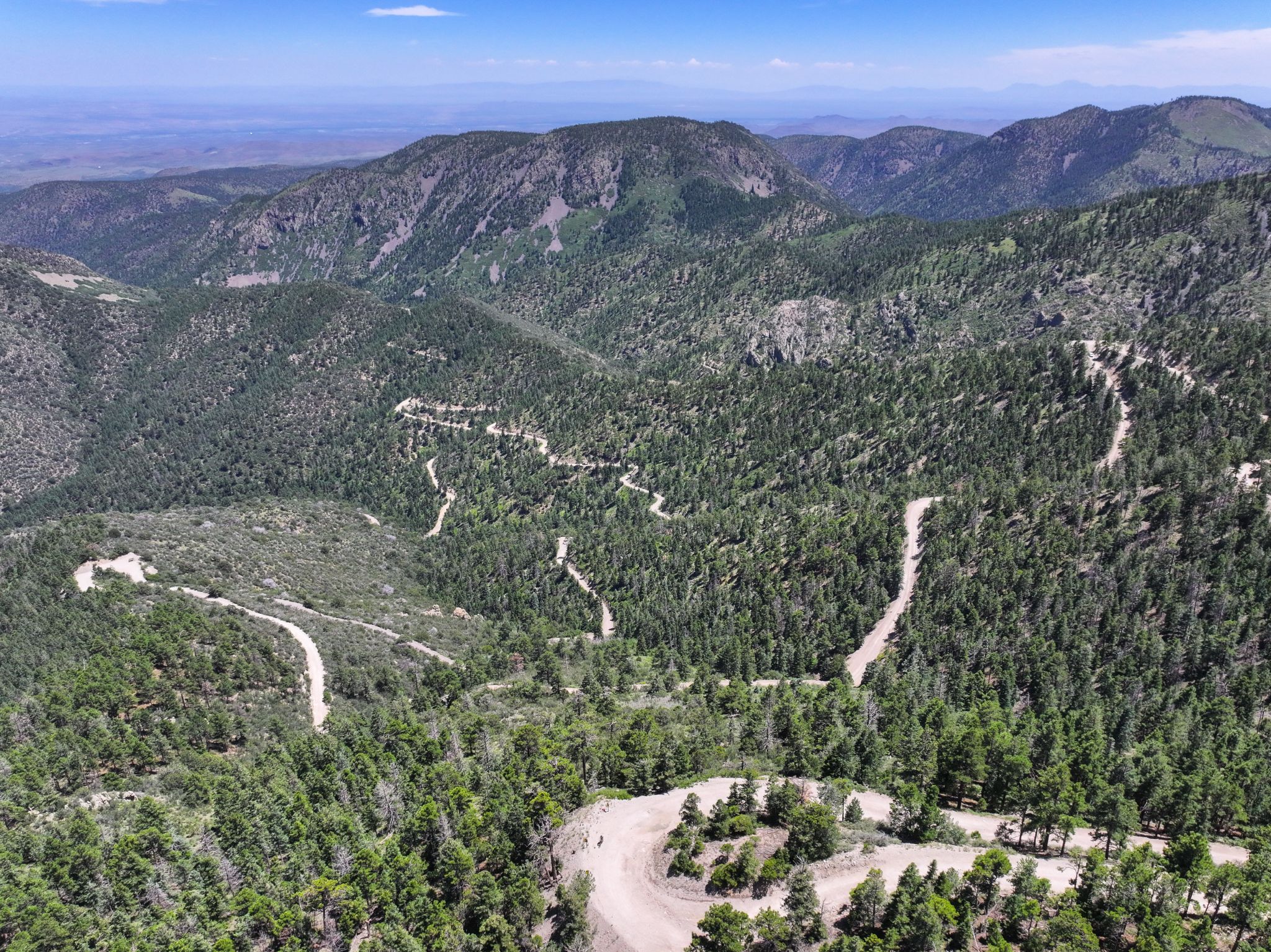
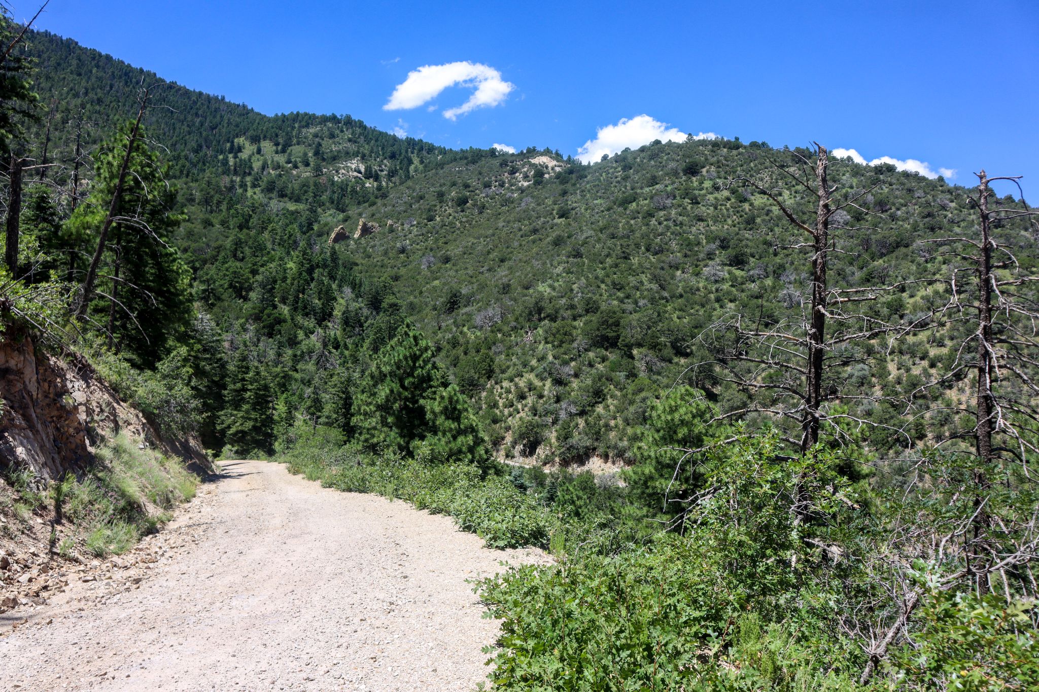
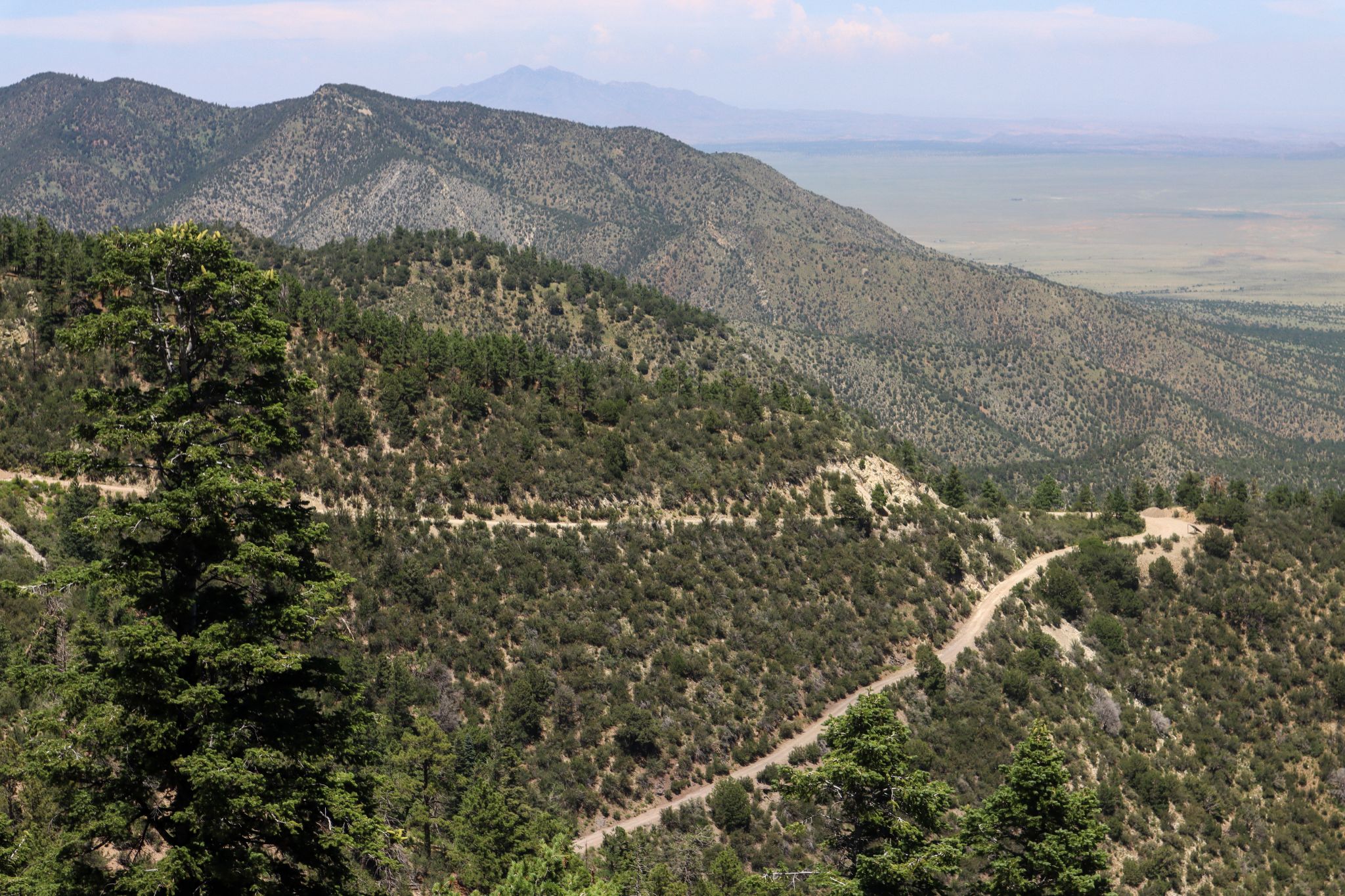
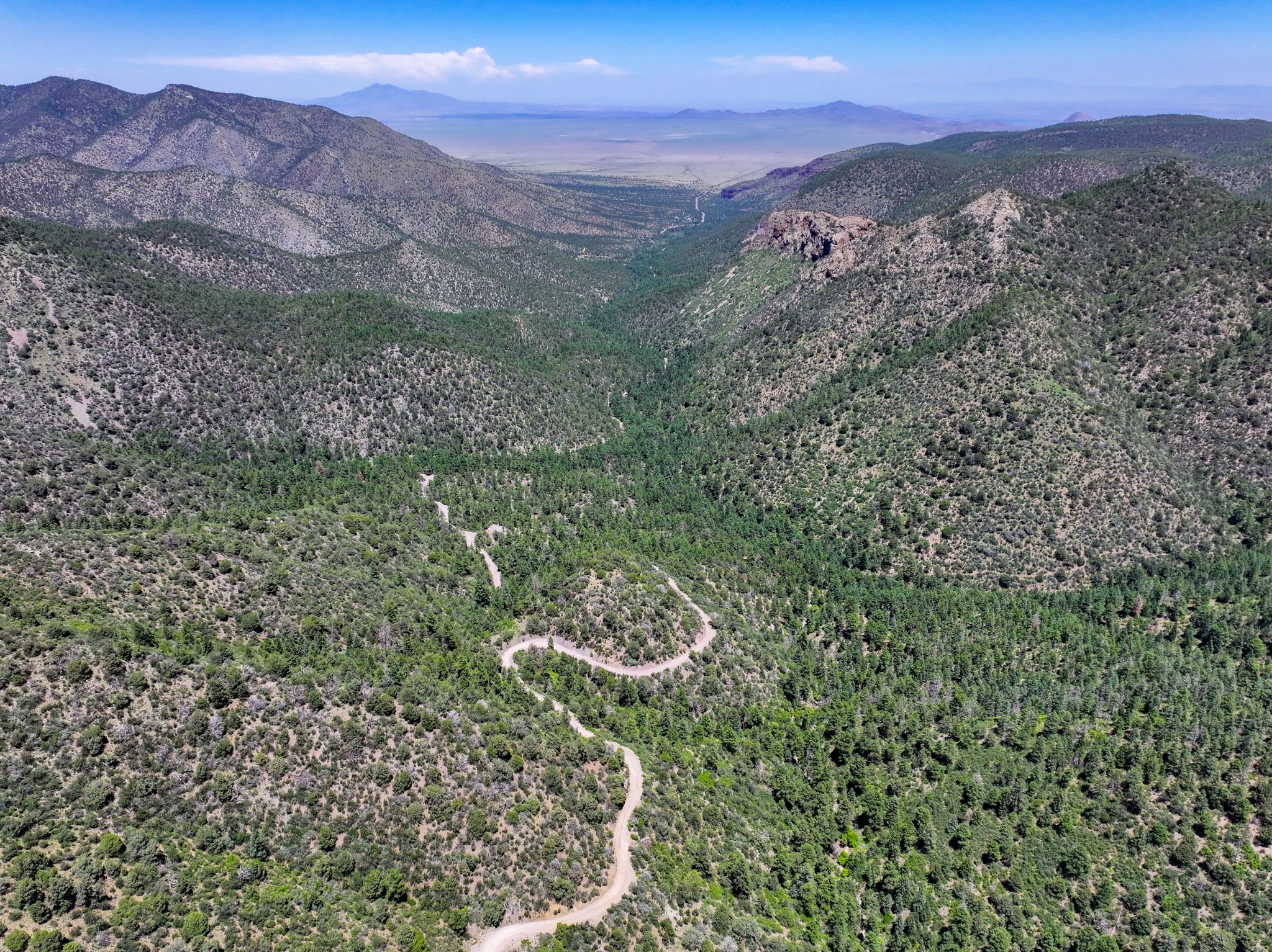
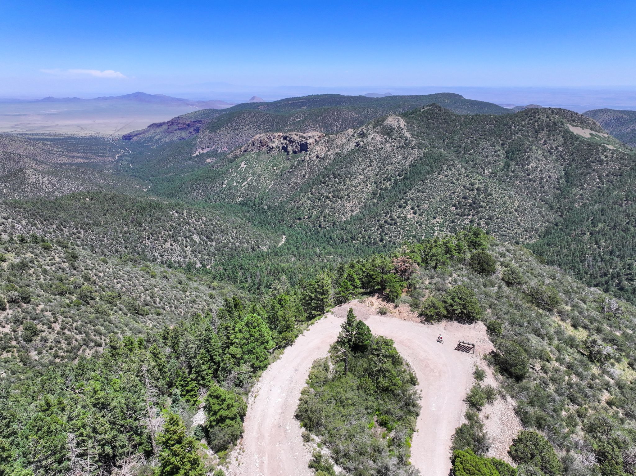
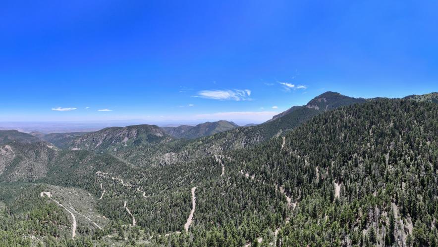
The first four miles are quiet, paved county road up to Water Canyon Campground; from there the surface turns to native dirt and gravel and the climbing gets serious, switchbacking up through pinon-juniper woodland into ponderosa pine forest with sweeping views across the Plains of San Agustin. It's remote and lightly trafficked, but genuinely tough - a long, sustained gravel grind that only gets harder as the altitude climbs with it.
We rode Water Canyon Road on our summer 2024 gravel trip through New Mexico, and it stood out as one of the best climbs of the trip - the twisting road and valley views held up mile after mile.
The road also serves as the course for the Tour of Socorro's South Baldy Hill Climb, an annual race up Forest Road 235 toward the South Baldy summit. Beyond the Langmuir Laboratory gate the road is closed to public vehicles, so most cyclists treat the gate as the turnaround.
PLAN YOUR ROUTE
 We've partnered with Sherpa-Map.com to bring you the best route planning tool. With a PRO Membership you can use this climb as a reference when creating your route.
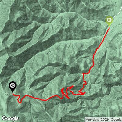
 Water Canyon Road covers 7.56 miles and averages 8.88% overall, but the effort isn't spread evenly. The first roughly four miles - the paved section up to Water Canyon Campground - climb gently, more of a warm-up than a challenge.
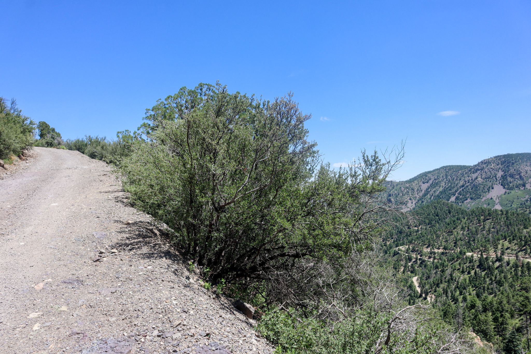
Once the road turns to gravel past the campground, the grade steepens noticeably and holds in the 9-12% range for long stretches as it switchbacks up the canyon wall, with a few pitches into the mid-teens closer to the top.
The final push toward the Langmuir Laboratory gate, above 9,500 feet, is where thin air starts to matter as much as the gradient itself.
Total elevation gain is 3,528 feet, from 6,868 feet at the highway to just over 10,400 feet at the top - budget extra time and effort for the altitude on top of the grade.
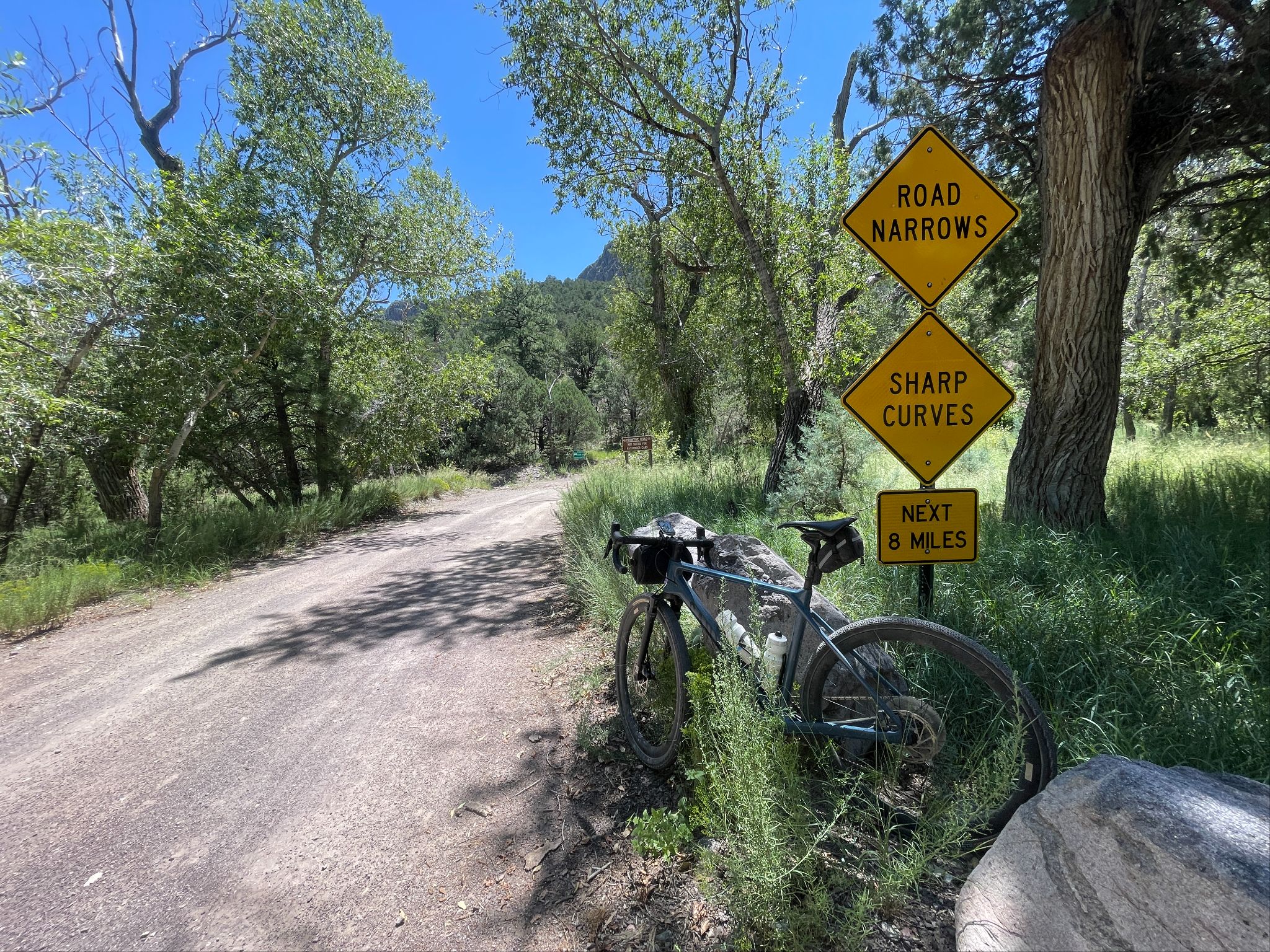
Roadway: The first four miles, to Water Canyon Campground, are paved and county-maintained. Past the campground the road turns to native dirt and gravel, narrow and rough in spots, with a posted recommendation for high-clearance or 4-wheel-drive vehicles beyond that point - a good sign of what the surface has in store for a bike as well.
Traffic: Light. This is a dead-end forest road serving a campground, a research observatory, and not much else, so car traffic thins out fast past the pavement. Expect more activity on summer weekends near the campground.
Parking: Water Canyon Campground, about 4 miles in, has ample pull-off parking and is the most common starting point for the climb's gravel section. To ride the full climb from the highway, start from the Water Canyon Road turnoff on US 60.
There is nothing resembling a store, gas station, or bike shop anywhere on Water Canyon Road itself - the last services are back in Magdalena or Socorro on US 60, so fill bottles and top off food before turning off the highway.
A gravel or adventure bike with wider tires is the right call here; the lower four miles are paved, but the native-surface upper road can be rutted, rocky, and washboarded depending on recent weather. Water Canyon Campground has vault toilets but no potable water, so don't count on a refill there.
Above the campground you're on your own - carry more water than you think you'll need, since the climb tops out near 10,400 feet, where sun exposure and dry air add up fast.
Before heading out on any cycling adventure check out our Things to Bring on a Cycling Trip and use our interactive check list to ensure you don't forget anything.
Water Canyon Campground makes a natural base or turnaround if you don't want to tackle the whole climb in one push. Magdalena, a few miles further down US 60, has small motels, cafes, and a gas station for staging before or after the ride.
Ride early - the upper road is fully exposed for long stretches, and Magdalena Mountains thunderstorms build up fast on summer afternoons at this elevation.
Water Canyon Campground is open year-round but can close for periods in winter due to snow (call the Magdalena Ranger District at 575-854-2281 to check conditions), and the upper road can hold snow and ice well into spring.
The road beyond the Langmuir Laboratory gate is closed to public vehicles, so plan your ride to turn around there rather than expecting to continue past it.
ROUTE MAP
MEMBER RATING
CURRENT WEATHER
PJAMM TRIPS ADVENTURE STARTER BUNDLES
Check out PJAMM Adventure's prepackaged (self-guided) cycling trips. They will help you plan, document and conquer your next adventure.
NEARBY CLIMBS (0) RADIAL PROXIMITY
FROM No Climbs Found
MEMBER REVIEWS & COMMENTS
Let us know what you thought of this climb. Signup for our FREE membership to write a review or post a comment.
Already have an account?
LOG IN HERE