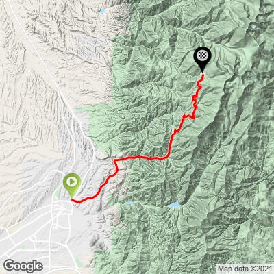
20.3
PDI
14.8 mi
DISTANCE
3,729 ft
GAINED
4.2 %
AVG. GRADE
FULL CLIMB STATS
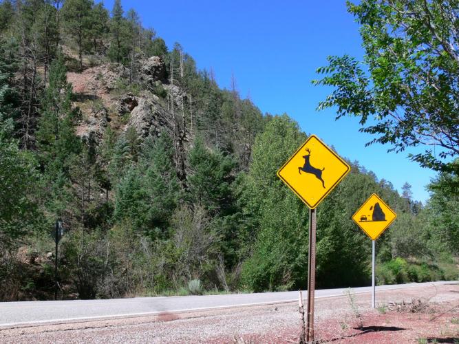
Page Contributor(s): (Cover photo) Jean Bourett, Google
INTRO
"Called the ski basin or ski area climb by locals, Route 475 is a long and moderate grade ascent through pine trees up to a ski area just outside of Santa Fe, New Mexico. More shallow and open to start, the grade gradually steepens as you leave civilization behind but is never steep and remains fairly steady throughout. As you ride generally east eventually you enter a pine forest for much of the remainder of the ascent as you approach the summit and the listed climb dead ends on top at the ski area at an elevation of over 10,000 feet. Due to its multiple turns and steady grade 475 can be a pleasant descent as well." (This quote is presented with the approval of John Summerson, from his book, The Complete Guide to Climbing (by Bike), 2nd Edition, pg. 200.)
PLAN YOUR ROUTE
See more details and tools regarding this climb's grade via our interactive Profile Tool.
Information Not Available
If you have any information regarding this climb, we'd like to hear from you. Click the CONTRIBUTE button to share your thoughts with us.
Information Not Available
If you have any information regarding this climb, we'd like to hear from you. Click the CONTRIBUTE button to share your thoughts with us.
Before heading out on any cycling adventure check out our Things to Bring on a Cycling Trip and use our interactive check list to ensure you don't forget anything.
Information Not Available
If you have any information regarding this climb, we'd like to hear from you. Click the CONTRIBUTE button to share your thoughts with us.
ROUTE MAP
MEMBER RATING
CURRENT WEATHER
PJAMM TRIPS ADVENTURE STARTER BUNDLES
Check out PJAMM Adventure's prepackaged (self-guided) cycling trips. They will help you plan, document and conquer your next adventure.
NEARBY CLIMBS (0) RADIAL PROXIMITY
FROM No Climbs Found
MEMBER REVIEWS & COMMENTS
Let us know what you thought of this climb. Signup for our FREE membership to write a review or post a comment.
Already have an account?
LOG IN HERE
SlaoCycling
The grade chart is spot on ... easy start followed by a 1 mile descent before a tough middle and then it eases up for the last 4 miles but the altitude could become difficult to handle if you not acclimated. I live at sea level and struggled with the last several miles. Overall, a very good climb with an even better descent :) Definitely bring a Gilet for the downhill.