35.6
PDI
19.7 mi
DISTANCE
6,137 ft
GAINED
5.8 %
AVG. GRADE
FULL CLIMB STATS
Page Contributor(s): Ard Oostra, Montreux, Switzerland
INTRO
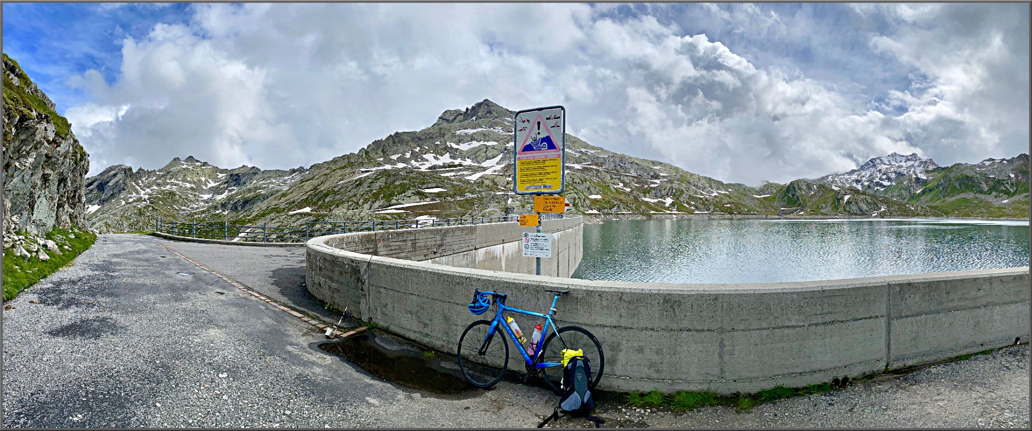
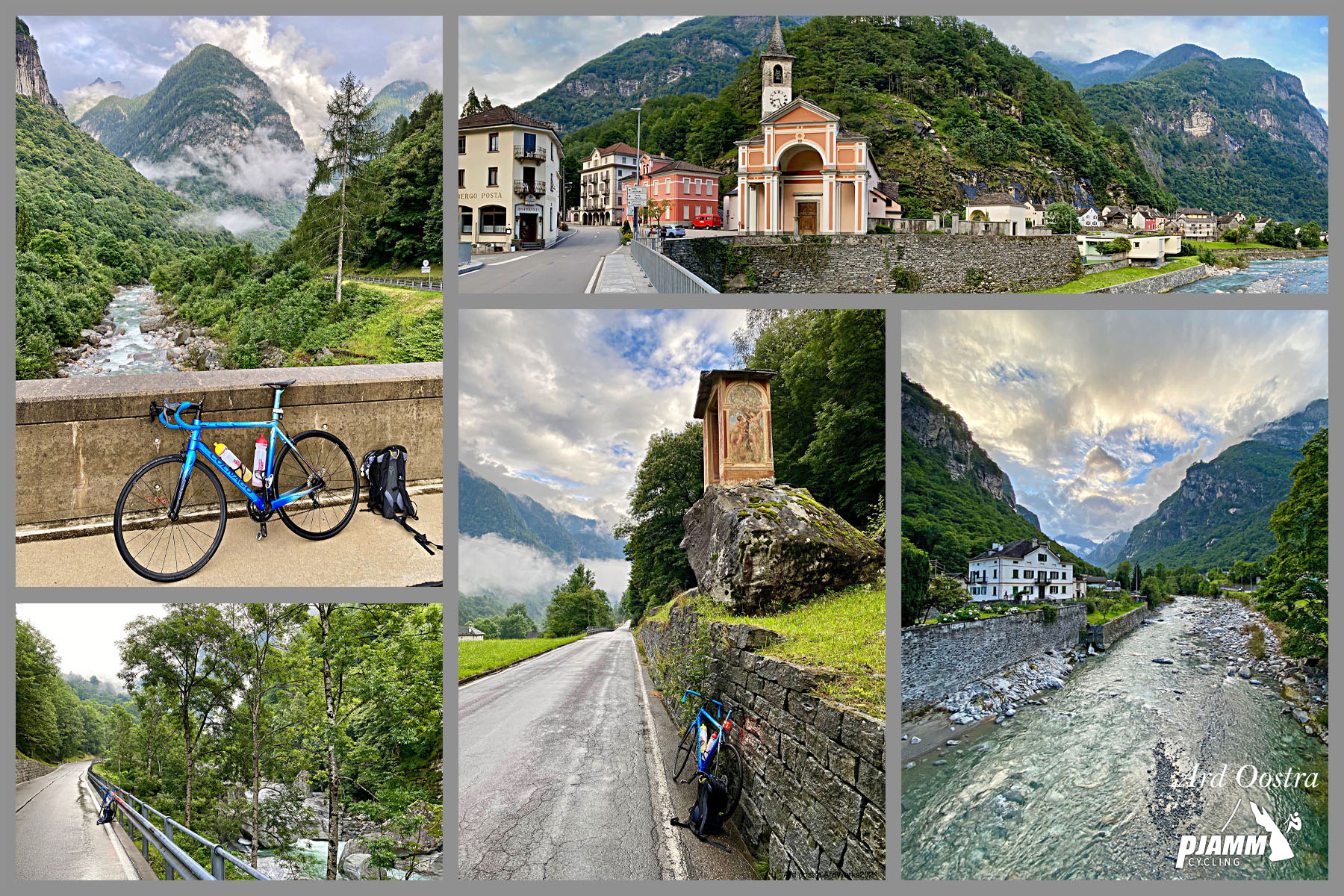
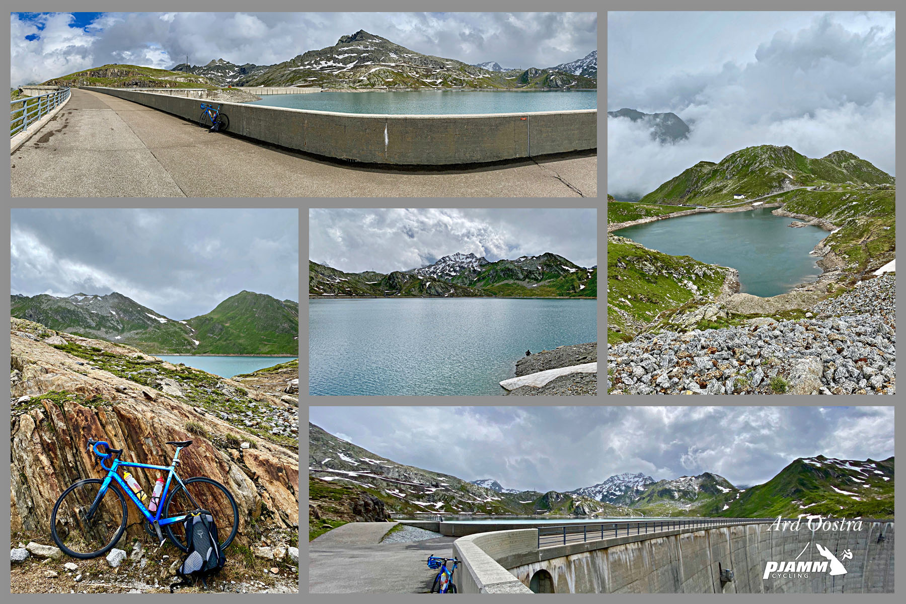
Lago del Naret is a 2,310-meter reservoir at the head of the Valle Lavizzara in Ticino, Switzerland, reached by a demanding 19.7-mile paved climb from Cevio that gains roughly 6,137 feet at a 5.8% average grade.
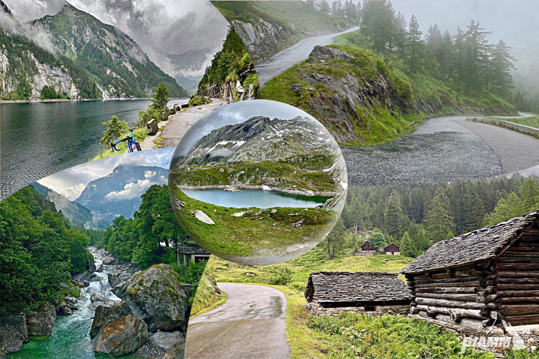
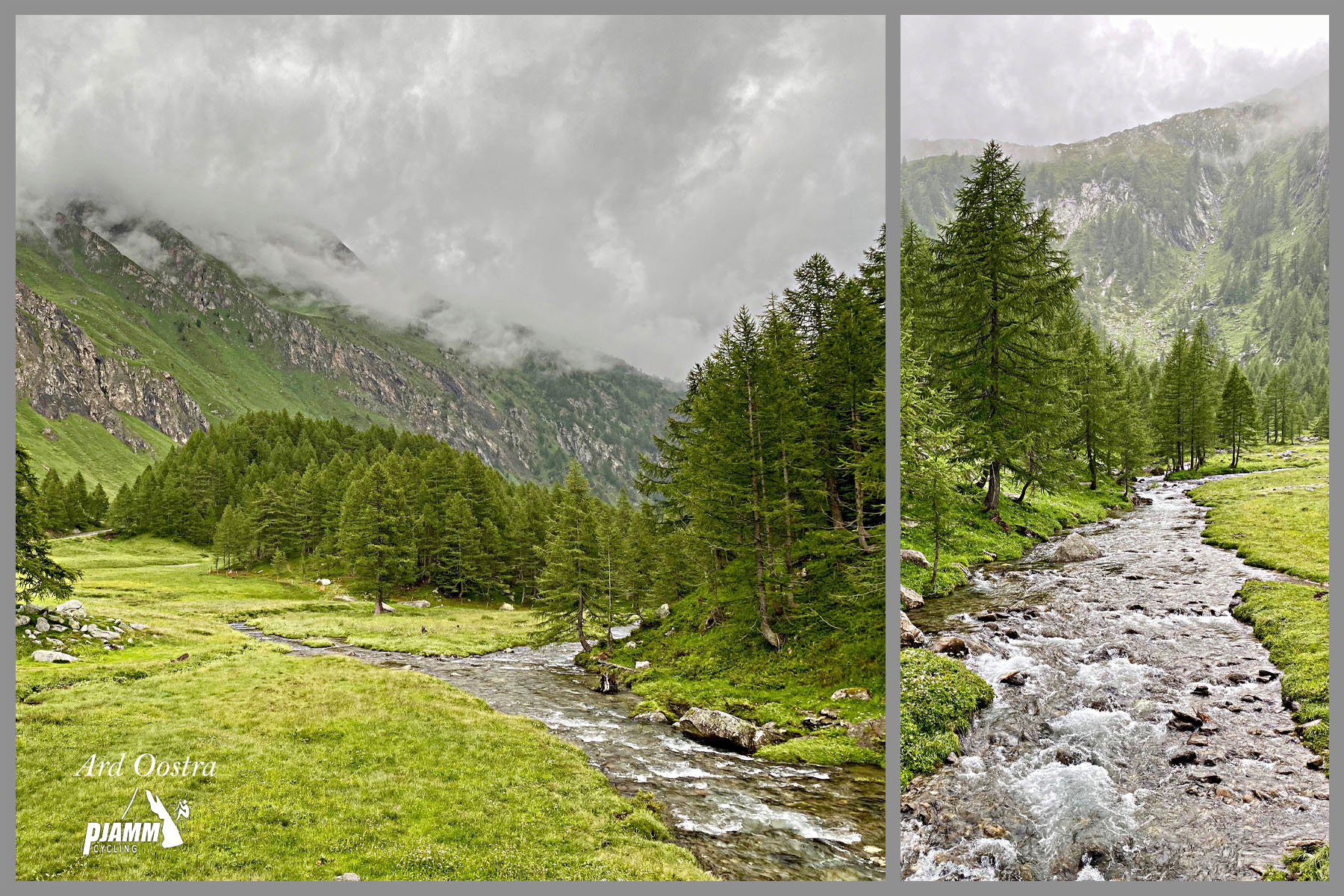
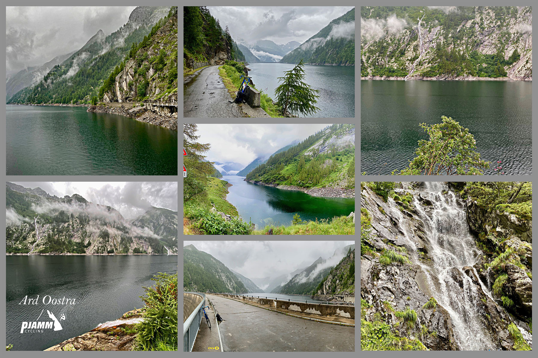
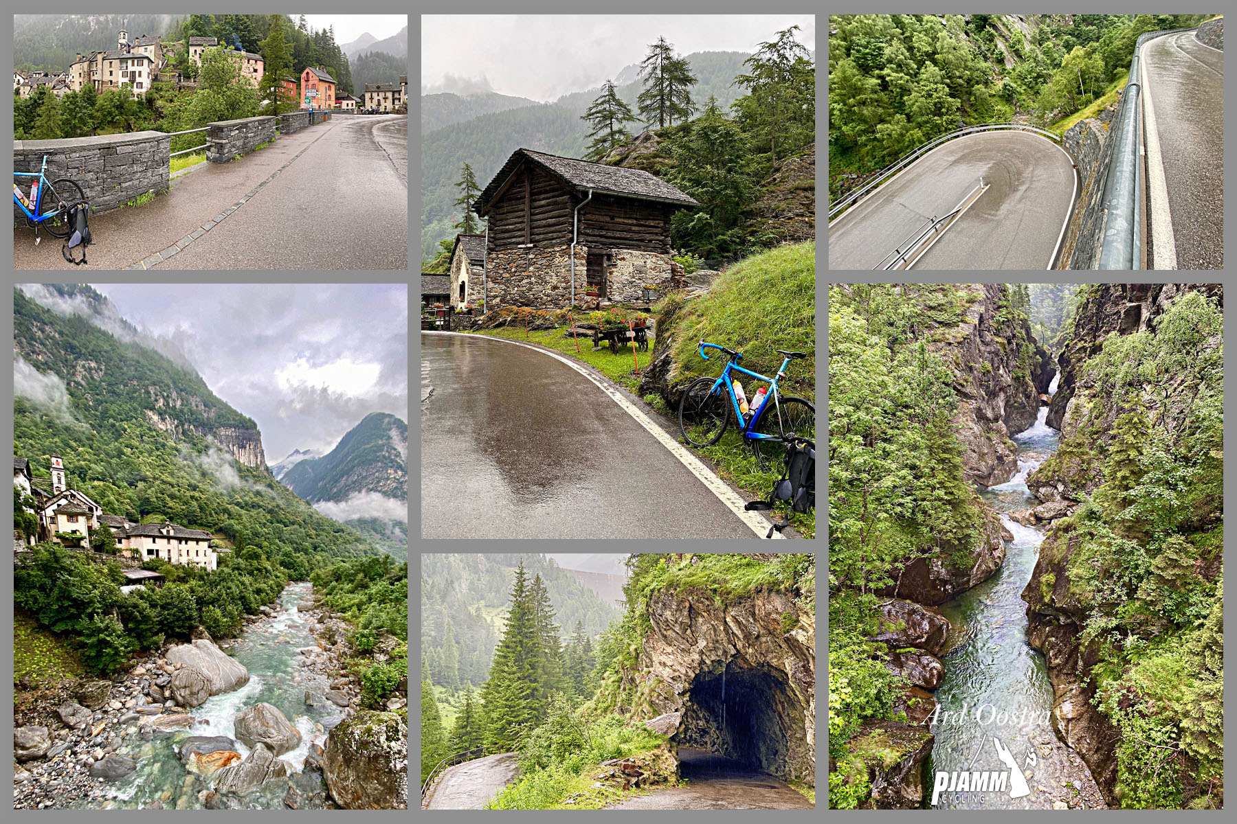
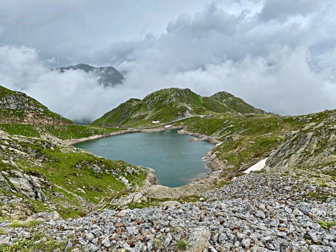
The route follows the Maggia river up through the valley, tackles a series of switchbacks around Peccia, then passes through Fusio - the last inhabited village before the road pushes on alone toward the dam. From there it strings together four alpine lakes in succession - Sambuco, Sassolo, Superiore, and finally Naret itself - before finishing on a short unpaved stretch (roughly the final 0.3 mile) at the dam.
The road is only open seasonally, typically from early summer into fall depending on snowpack at altitude, and beyond Fusio it exists mainly to serve the dam, hikers, and cyclists, so traffic thins out considerably in the closing miles. Between the length, the altitude, and pitches in the mid-teens near the top, it's regarded as one of the toughest paved climbs in Switzerland.
PLAN YOUR ROUTE
 We've partnered with Sherpa-Map.com to bring you the best route planning tool. With a PRO Membership you can use this climb as a reference when creating your route.
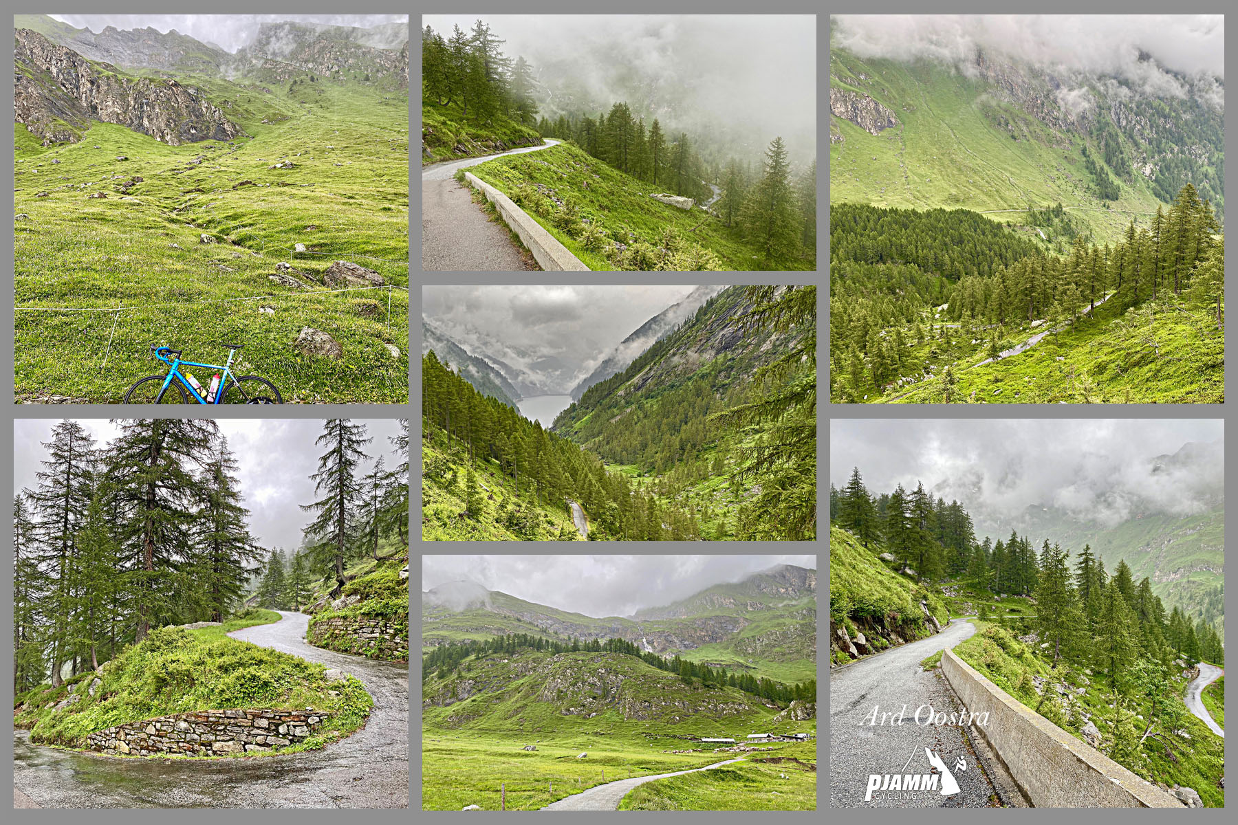
 This climb runs 19.7 miles from Cevio to the Lago del Naret dam, gaining about 6,137 feet at a 5.8% average grade. The number is deceiving - the lower valley miles through Cevio and toward Peccia are comparatively gentle, while the closing stretch past Fusio ramps up hard. The steepest quarter-mile averages 14.8%, the steepest half-mile 14.1%, and the steepest mile 11.9%.
Multiple independently published route profiles corroborate this pattern, describing a final push past Fusio with several kilometers averaging above 11% and short ramps into the mid-teens. Pace the lower half conservatively - the real work comes in the last third of the climb.
Roadway: Paved and narrow for almost the entire route, typical of a single-lane Alpine valley road with occasional passing spots. The final stretch to the dam, roughly the last 0.3 mile, is unpaved gravel.
Traffic: Light. The road carries local and tourist traffic as far as Fusio, the valley's last inhabited village, then thins out considerably - beyond Fusio it mainly serves hikers, cyclists, and dam maintenance vehicles heading to the reservoirs.
Parking: Start in Cevio, where the climb begins on Via Lavizzara just north of its intersection with Via Piett; village parking is available there. The road is seasonal, typically rideable from early summer into fall depending on snow at altitude, so check conditions before planning a visit outside that window.
Cevio and the villages along the lower valley (Bignasco, Peccia) have shops and services for a final top-off before you climb. Fusio, the last village before the dam, has a hotel and restaurant (Boutique Hotel Fusio / Ristorante Da Noi) but nothing beyond that point, so carry what you need for the final push. The dam at 2,310 m is exposed and can be notably colder and windier than the valley floor even in summer - pack a wind layer. The last 0.3 mile is unpaved, so tires with a bit of margin for gravel are worth having.
Before heading out on any cycling adventure check out our Things to Bring on a Cycling Trip and use our interactive check list to ensure you don't forget anything.
Cevio sits in Ticino's Vallemaggia, an easy base for exploring several demanding climbs in the same valley system, and the drive up from Locarno or Bignasco makes for a scenic approach on its own. Because the road beyond Fusio is seasonal, plan a summer or early-fall visit and confirm current conditions before you go - snow can linger at 2,310 m well into the warmer months. Our Routes in the Area tool is a good way to see what other Ticino climbs are worth combining with this one if you're making a longer trip of it.
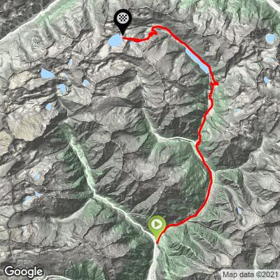
ROUTE MAP
MEMBER RATING
CURRENT WEATHER
PJAMM TRIPS ADVENTURE STARTER BUNDLES
Check out PJAMM Adventure's prepackaged (self-guided) cycling trips. They will help you plan, document and conquer your next adventure.
NEARBY CLIMBS (0) RADIAL PROXIMITY
FROM No Climbs Found
MEMBER REVIEWS & COMMENTS
Let us know what you thought of this climb. Signup for our FREE membership to write a review or post a comment.
Already have an account?
LOG IN HERE