10.8
PDI
5.1 mi
DISTANCE
1,748 ft
GAINED
6.5 %
AVG. GRADE
FULL CLIMB STATS
Page Contributor(s): Dan Razum, Campbell, CA, USA
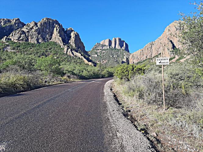
INTRO
"Likely the most difficult Texas climb, and perhaps the most isolated climb in this guide, Panther Pass is also quite scenic as it heads towards Chisos Basin within Big Bend National Park. The first 4 miles are over moderate grade and desert scenery. The last mile is double digit and will challenge you. The climb ends as the grade eases at the obvious pass and the trailhead to the Lost Mine Trail. There is a campground a short distance further down the road...This is isolated territory so make sure you have what you need." (This quote is presented with the approval of John Summerson, from his book, The Complete Guide to Climbing (by Bike), 2nd Edition, pg. 211.)
PLAN YOUR ROUTE
See more details and tools regarding this climb's grade via our interactive Profile Tool.
Information Not Available
If you have any information regarding this climb, we'd like to hear from you. Click the CONTRIBUTE button to share your thoughts with us.
Information Not Available
If you have any information regarding this climb, we'd like to hear from you. Click the CONTRIBUTE button to share your thoughts with us.
Before heading out on any cycling adventure check out our Things to Bring on a Cycling Trip and use our interactive check list to ensure you don't forget anything.
Information Not Available
If you have any information regarding this climb, we'd like to hear from you. Click the CONTRIBUTE button to share your thoughts with us.
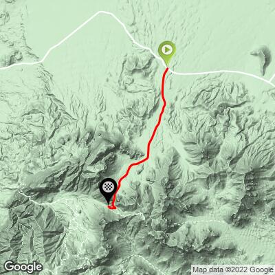
ROUTE MAP
MEMBER RATING
CURRENT WEATHER
PJAMM TRIPS ADVENTURE STARTER BUNDLES
Check out PJAMM Adventure's prepackaged (self-guided) cycling trips. They will help you plan, document and conquer your next adventure.
NEARBY CLIMBS (0) RADIAL PROXIMITY
FROM No Climbs Found
MEMBER REVIEWS & COMMENTS
Let us know what you thought of this climb. Signup for our FREE membership to write a review or post a comment.
Already have an account?
LOG IN HERE