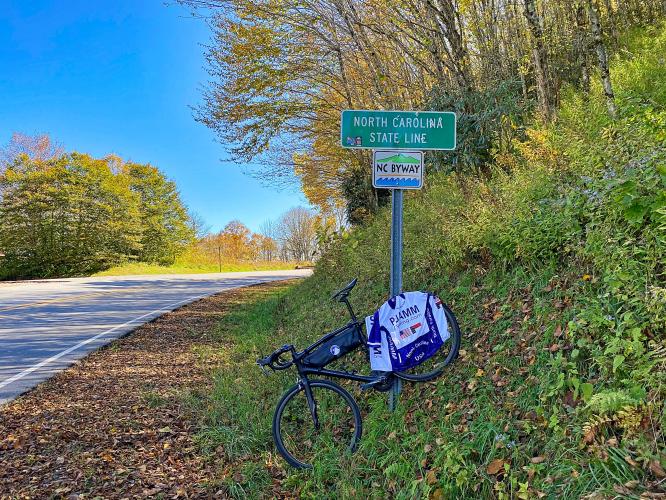
18.9
PDI
13 mi
DISTANCE
3,647 ft
GAINED
5 %
AVG. GRADE
FULL CLIMB STATS
Page Contributor(s): John Summerson, The Complete Guide to Climbing (By Bike), 2nd Edition
INTRO
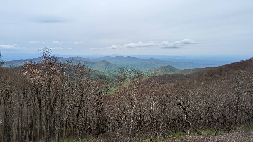
"[This] is one of the most scenic and isolated climbs in the U.S. It is usually quite thin of traffic but there can be some vehicles on good weather weekends. In the trees down low, the grade is stout over this initial section. About two miles into the ascent keep left at a junction to continue to ascend. This is where the true nature of the hill is revealed. From here the route heads along a ridge over fairly steady grade with amazing views of unbroken emerald colored forestland. The grade over this stretch is solid and along with several small descends along the way which knock down the hill's average grade. Toward the summit you encounter the steepest stretch of sustained climbing on the hill." (This quote is presented with the approval of John Summerson from The Complete Guide to Climbing (by Bike), 2nd Edition pg. 113.)
PLAN YOUR ROUTE
See more details and tools regarding this climb's grade via our interactive Profile Tool.
Information Not Available
If you have any information regarding this climb, we'd like to hear from you. Click the CONTRIBUTE button to share your thoughts with us.
Information Not Available
If you have any information regarding this climb, we'd like to hear from you. Click the CONTRIBUTE button to share your thoughts with us.
Before heading out on any cycling adventure check out our Things to Bring on a Cycling Trip and use our interactive check list to ensure you don't forget anything.
Information Not Available
If you have any information regarding this climb, we'd like to hear from you. Click the CONTRIBUTE button to share your thoughts with us.
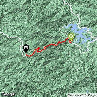
ROUTE MAP
MEMBER RATING
CURRENT WEATHER
PJAMM TRIPS ADVENTURE STARTER BUNDLES
Check out PJAMM Adventure's prepackaged (self-guided) cycling trips. They will help you plan, document and conquer your next adventure.
NEARBY CLIMBS (0) RADIAL PROXIMITY
FROM No Climbs Found
MEMBER REVIEWS & COMMENTS
Let us know what you thought of this climb. Signup for our FREE membership to write a review or post a comment.
Already have an account?
LOG IN HERE
jwilkin3
Great Climb.
jwilkin3
Very nice climb in a remote area with no facilities along the way.