30.8
PDI
9.7 mi
DISTANCE
4,186 ft
GAINED
8.2 %
AVG. GRADE
FULL CLIMB STATS
INTRO
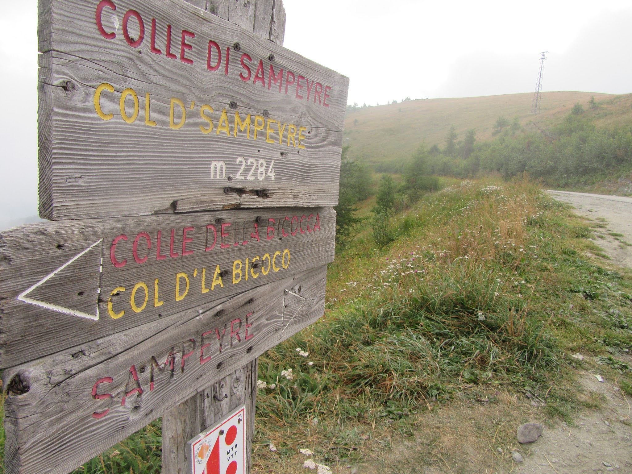
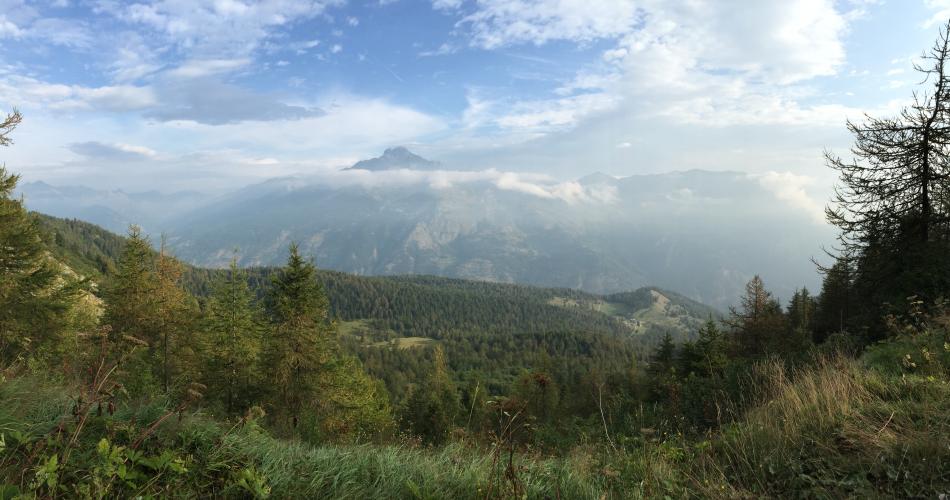
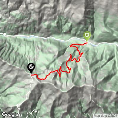
Colle di Sampeyre climbs 9.7 miles (15.6 km) and 4,186 feet (1,276 m) from the town of Sampeyre, in Piemonte's Provincia di Cuneo, at an 8.2% average grade. The road climbs the north side of the pass connecting the Valle Varaita to the Valle Maira - our Colle di Sampeyre sud page covers the climb up the opposite, southern side from Stroppo.
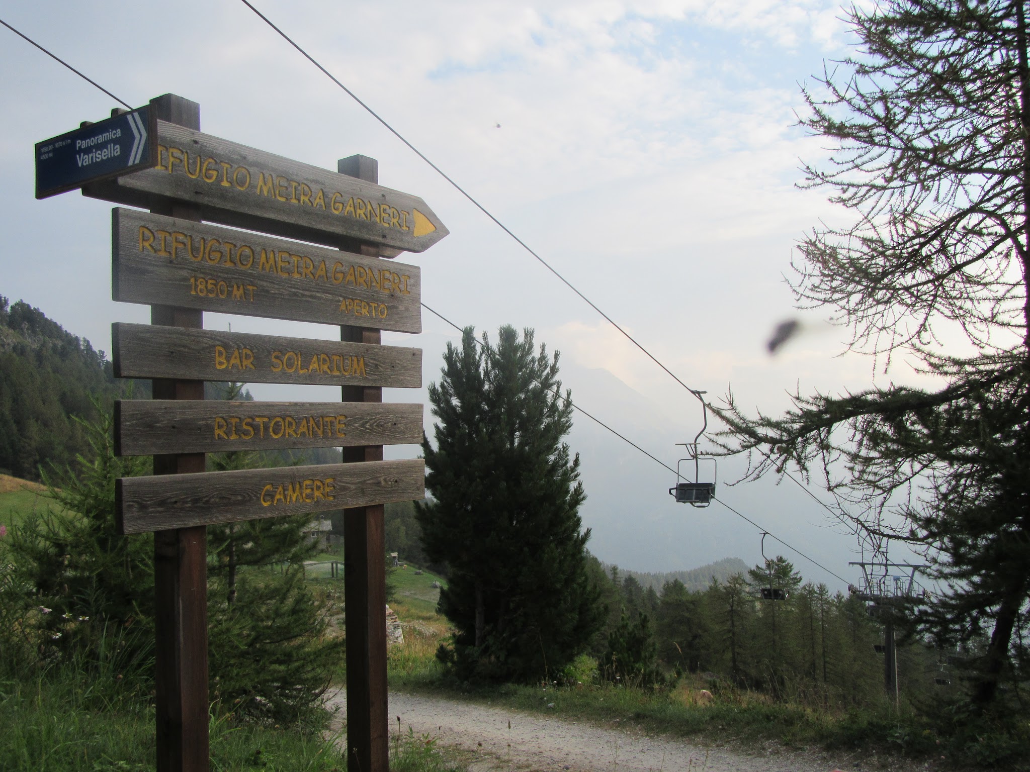
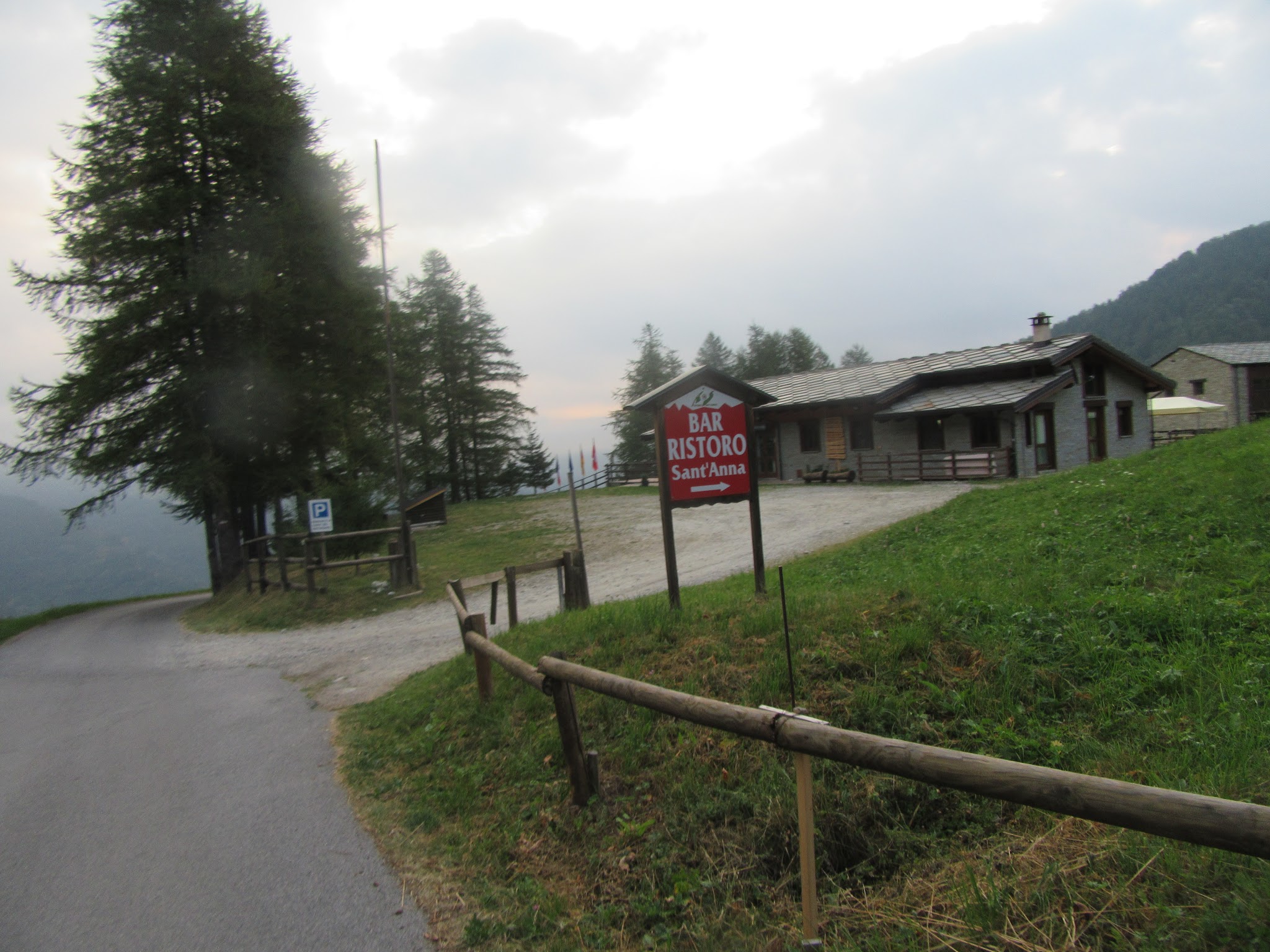
Sampeyre sits in one of Italy's richest pockets of high-altitude road climbing - Fauniera, Colle della Lombarda, and Colle dell'Agnello all start within about 10 miles, and the Agnello climb in particular begins just a few miles farther up the same valley. The road out of Sampeyre passes the lifts of the local Santa Anna ski area around mile 3.5 (km 5.6) before narrowing considerably in its upper half.
Colle di Sampeyre has twice featured in the Giro d'Italia: as part of the brutal 1995 queen stage alongside the Col Agnel and Col d'Izoard, and again in 2003, when Marco Pantani and Stefano Garzelli both crashed descending toward Sampeyre in sleet and hail on stage 18. The pass tops out on the border of the Valle Varaita and Valle Maira, connecting to our Colle di Sampeyre sud approach on the far side.
PLAN YOUR ROUTE
 We've partnered with Sherpa-Map.com to bring you the best route planning tool. With a PRO Membership you can use this climb as a reference when creating your route.
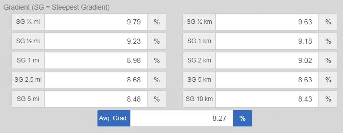
 At 8.2% average over 9.7 miles, Colle di Sampeyre climbs steadily rather than in sharp pitches - our data shows the grade stays within a tight band for most of the route, without the extreme ramps found on some of Piemonte's more famous passes nearby. The steepest kilometer, around km 8.9, averages roughly 9.1%, only modestly harder than the overall average.
That consistency is part of what makes this climb feel harder than the numbers suggest: there's rarely a flat or downhill stretch to recover on, just a sustained, narrowing grade for the better part of two hours in the saddle.
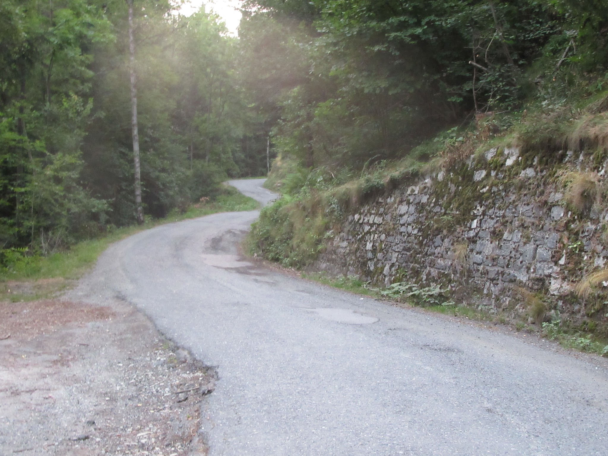
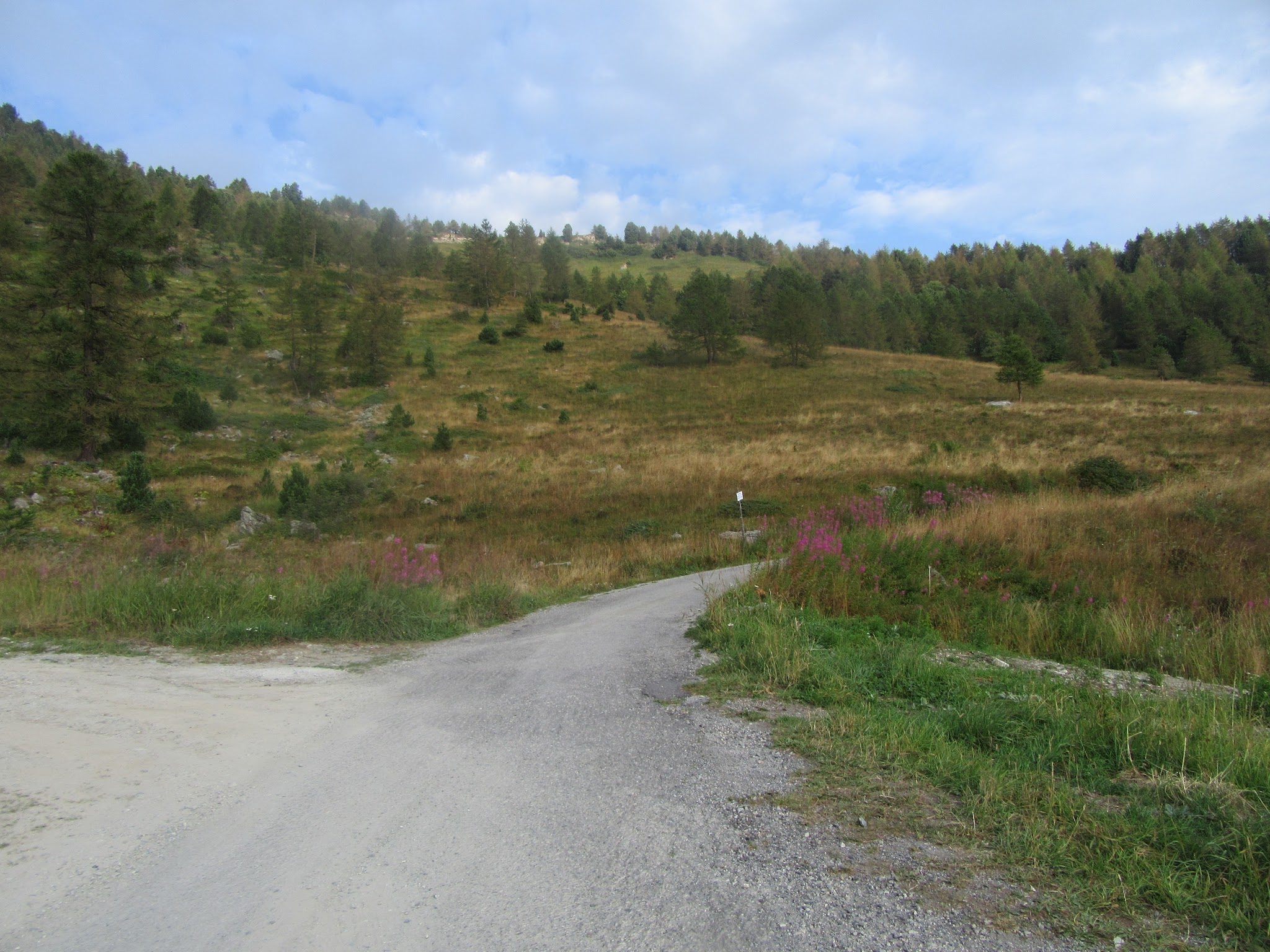
Roadway: Paved the entire way but narrow, and rougher in the top third than the lower miles - the road tightens noticeably past roughly mile 6.5 (km 10.4). The Comune di Sampeyre resurfaced a stretch of the road (from the second Santa Anna chairlift access up to the cemetery area) in late June 2026, so the middle section should be in better shape than in past seasons. As with most high Cuneo-province passes, this road can close seasonally with snow; check Provincia di Cuneo's alerts before an early- or late-season visit.
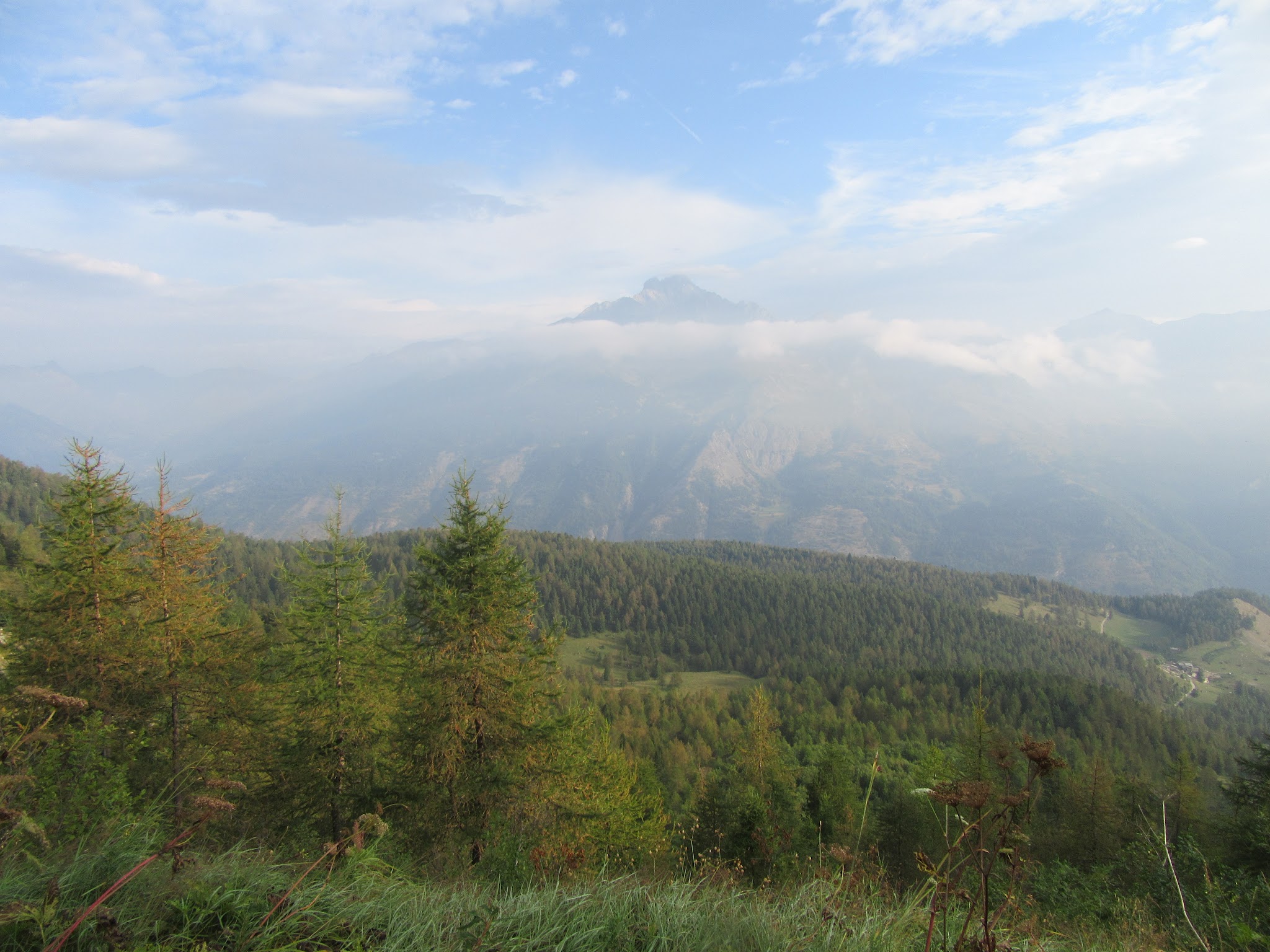
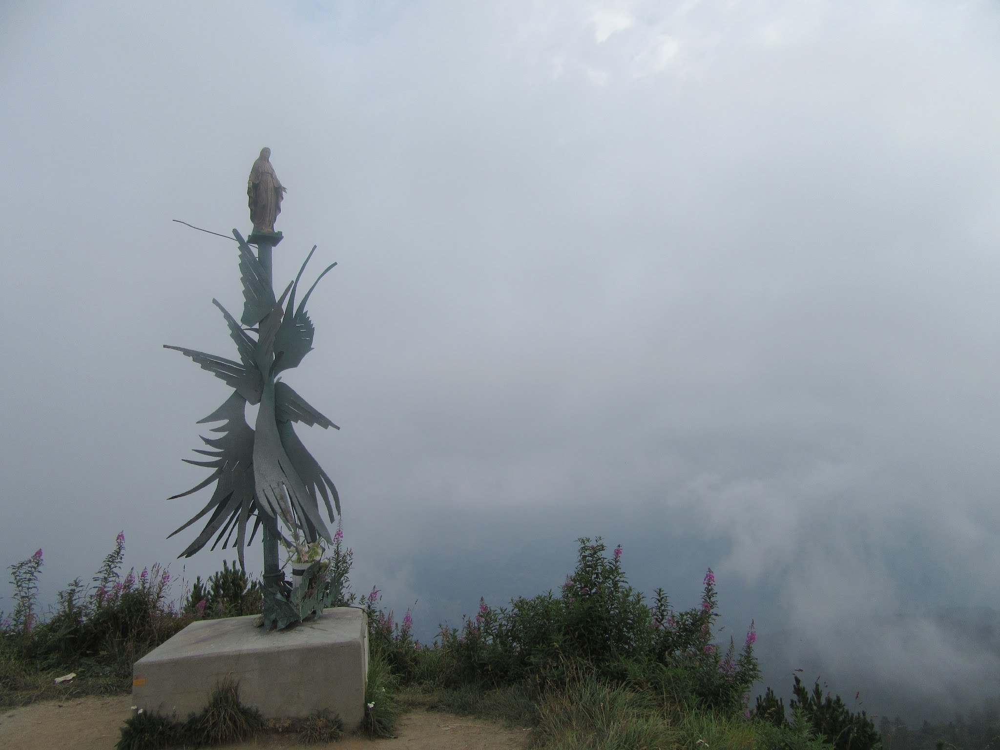
Traffic: Light and quiet for nearly the entire climb - this is one of the less-traveled passes in a region full of famous ones, and our own past visit here found fog and near-solitude on the upper narrow stretch.
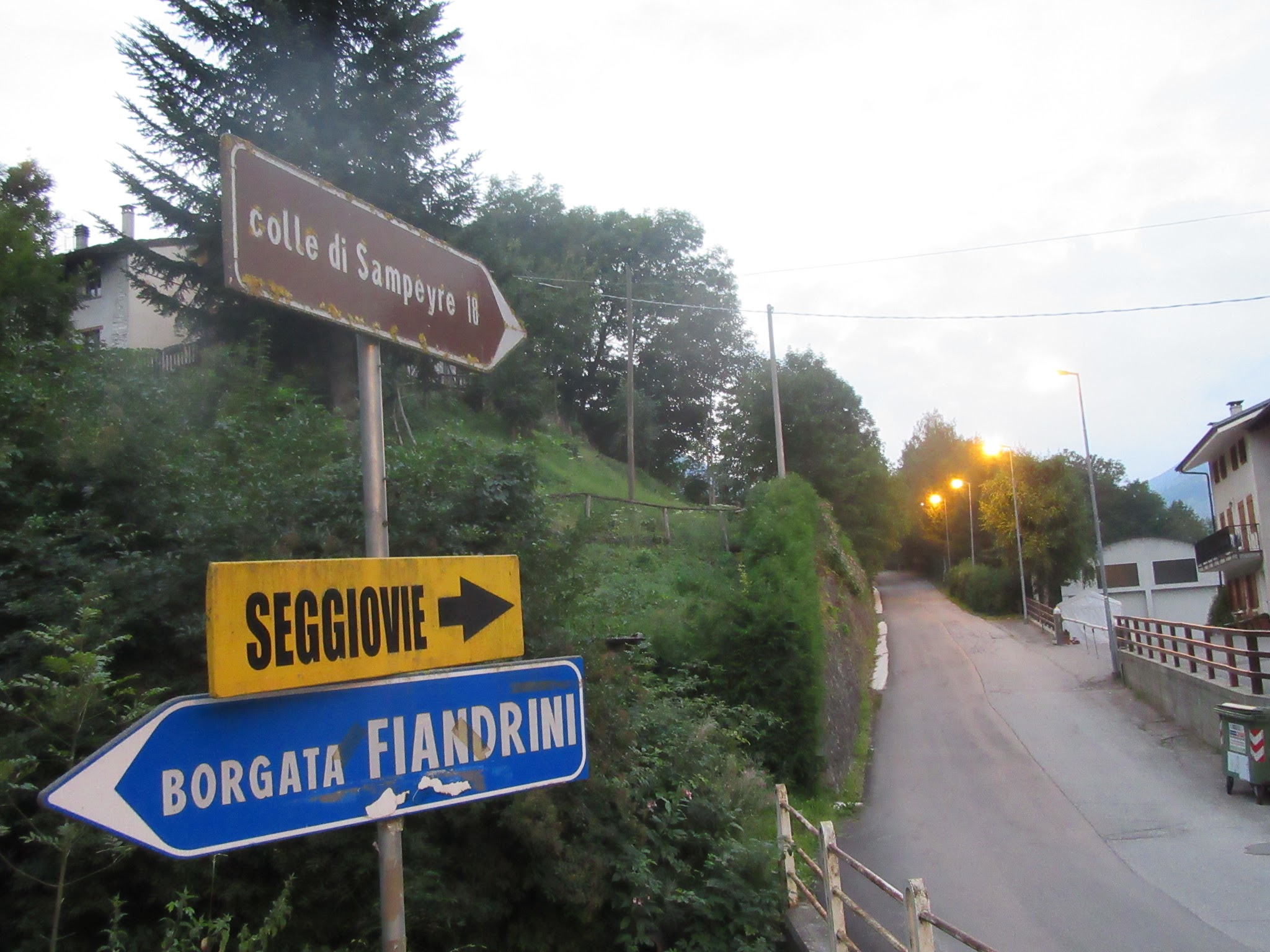
Parking: Sampeyre is a small alpine town; informal street parking is available in the Borgata Fiandrini area near the start of the climb, on the south side of town.
A compact or triple setup suited to a sustained 8.2% average is the right call here - there's no need for anything beyond typical Alpine climbing gears, but the road's narrowing upper half rewards being able to sit and spin rather than mash at low cadence on a blind corner.
Fill bottles in Sampeyre before starting; we found no confirmed water sources along the route itself. The upper narrow stretch can also fog in even when the valley below is clear, so a light jacket for the descent is worth carrying regardless of forecast.
Before heading out on any cycling adventure check out our Things to Bring on a Cycling Trip and use our interactive check list to ensure you don't forget anything.
Sampeyre is a good small-town base for this climb and sits at the mouth of a genuinely exceptional stretch of Piemonte climbing - Fauniera, Colle della Lombarda, and Colle dell'Agnello (which starts just a few miles farther up the same valley) are all within roughly 10 miles, so a multi-day trip based here rarely means much driving between climbs.
If you want a longer day, this climb pairs naturally with Colle dell'Agnello into a loop of around 59 miles (95 km) and over 10,000 feet of gain - though check both passes' seasonal opening dates first, since Agnello's summit section can stay closed into late spring even after Sampeyre's road is clear.
For the opposite side of this same pass, descending into the Valle Maira toward Stroppo, see Colle di Sampeyre south.
ROUTE MAP
MEMBER RATING
CURRENT WEATHER
PJAMM TRIPS ADVENTURE STARTER BUNDLES
Check out PJAMM Adventure's prepackaged (self-guided) cycling trips. They will help you plan, document and conquer your next adventure.
NEARBY CLIMBS (0) RADIAL PROXIMITY
FROM No Climbs Found
MEMBER REVIEWS & COMMENTS
Let us know what you thought of this climb. Signup for our FREE membership to write a review or post a comment.
Already have an account?
LOG IN HERE