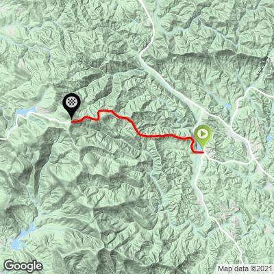
6.7
PDI
4.7 mi
DISTANCE
1,319 ft
GAINED
5.2 %
AVG. GRADE
FULL CLIMB STATS
Page Contributor(s): Eric Kuehl, Chicago, IL, USA
INTRO
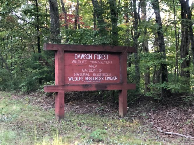
This is a beautiful and scenic climb in the north Georgia mountains. The start of the climb is at Fausett Lake where there is public parking available. The climb is fairly straight and is a pleasant ride through the Dawson Forest to the summit, which is easy to identify at Highway 136 and Sunrise Ridge Road.
PLAN YOUR ROUTE
Average grade is 5.4% (5.8% climb only). 33% of the climb is at 0-5% grade and 62% is at 5-10%. The steepest quarter-mile is 8.7%.
See more details and tools regarding this climb's grade via the “Profile Tool” button.
Roadway: Two lane state highway in good condition with a double yellow center stripe and zero to very narrow shoulder.
Traffic: Mild.
Parking: On the right side of the road at the start of the climb (Map; Street View).
Provisions: None on the route. Closest food and beverages are at the Dollar Store or gas station 3.3 miles southeast of the start of the climb (Route Map).
Before heading out on any cycling adventure check out our Things to Bring on a Cycling Trip and use our interactive check list to ensure you don't forget anything.
If you wanted to do both the East and West we would recommend starting on the Burnt Mountain West side as it has parking, with your turnaround point at Highway 136 and Burnt Mountain Road to come back and do the Burnt Mountain East climb - 21.5 miles gaining 2,875' (Map).
Use the “Routes in Area” button on the menu bar to see other bike climbs in this area.
ROUTE MAP
MEMBER RATING
CURRENT WEATHER
PJAMM TRIPS ADVENTURE STARTER BUNDLES
Check out PJAMM Adventure's prepackaged (self-guided) cycling trips. They will help you plan, document and conquer your next adventure.
NEARBY CLIMBS (0) RADIAL PROXIMITY
FROM No Climbs Found
MEMBER REVIEWS & COMMENTS
Let us know what you thought of this climb. Signup for our FREE membership to write a review or post a comment.
Already have an account?
LOG IN HERE
JohnS
This is not rideable by any sane person on a bike. Route is on a two lane highway with no shoulder, bad visibility and 70 mph traffic.