16.5
PDI
9.8 mi
DISTANCE
3,004 ft
GAINED
5.7 %
AVG. GRADE
FULL CLIMB STATS
INTRO
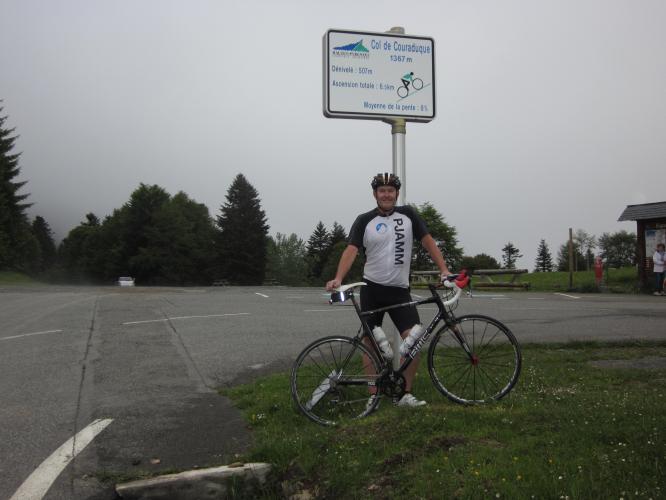
This 9.8 mile bike climb is located in Occitanie, France. The average gradient is 5.7% and there is a total elevation gain of 3,004 ft, finishing at 4,595 ft.
Use the profile tool, route map, and weather forecast to conquer this cycling climb.
Use the profile tool, route map, and weather forecast to conquer this cycling climb.
PLAN YOUR ROUTE
See more details and tools regarding this climb's grade via our interactive Profile Tool.
Information Not Available
If you have any information regarding this climb, we'd like to hear from you. Click the CONTRIBUTE button to share your thoughts with us.
Information Not Available
If you have any information regarding this climb, we'd like to hear from you. Click the CONTRIBUTE button to share your thoughts with us.
Before heading out on any cycling adventure check out our Things to Bring on a Cycling Trip and use our interactive check list to ensure you don't forget anything.
For those looking to stay in the area we would recommend the Pyrenees Cycling Lodge. Located in the beautiful medieval village of Saint Savin and hosted by Mark & Niamh, the Lodge is run by cyclists for cyclists. It is a great location for any cycling adventure in the Pyrenees with several renowned climbs within 100km of the property and 6 Tour de France climbs within 15km. Visit their website or contact them directly at pyreneescyclinglodge@gmail.com .
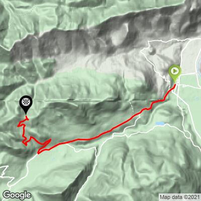
ROUTE MAP
MEMBER RATING
CURRENT WEATHER
PJAMM TRIPS ADVENTURE STARTER BUNDLES
Check out PJAMM Adventure's prepackaged (self-guided) cycling trips. They will help you plan, document and conquer your next adventure.
NEARBY CLIMBS (0) RADIAL PROXIMITY
FROM No Climbs Found
MEMBER REVIEWS & COMMENTS
Let us know what you thought of this climb. Signup for our FREE membership to write a review or post a comment.
Already have an account?
LOG IN HERE