27
PDI
9.4 mi
DISTANCE
3,917 ft
GAINED
7.9 %
AVG. GRADE
FULL CLIMB STATS
INTRO
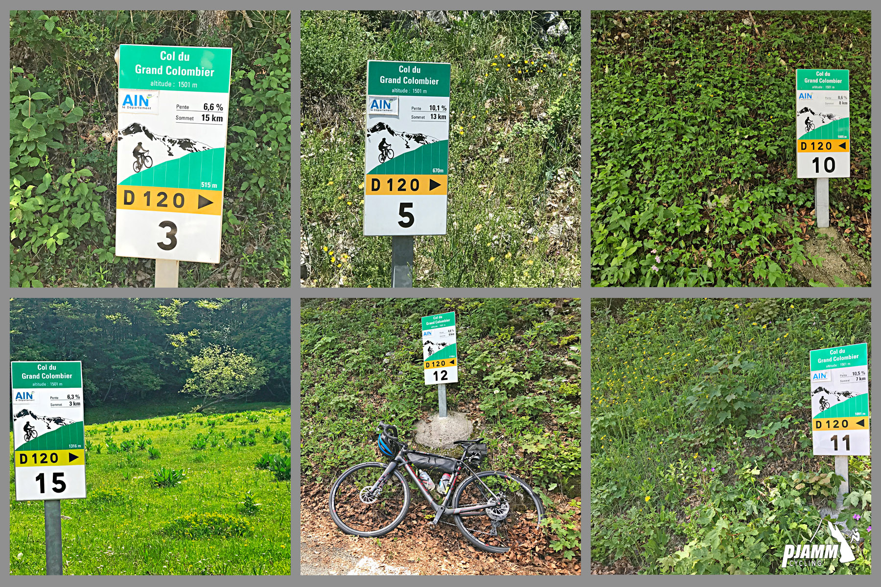
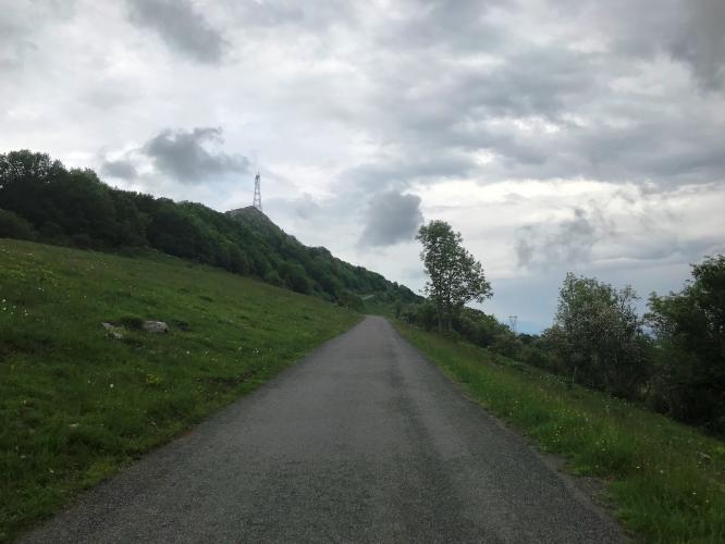
Col du Grand Colombier rises above the Valromey valley in France's Jura Mountains, and this approach from Anglefort is the second-hardest of the mountain's four paved sides, behind only the Artemare route. From Anglefort the climb runs 15.1 km (9.4 mi) and gains 1,194 m (3,917 ft) at a 7.9% average grade to the summit at roughly 1,479 m (4,854 ft).
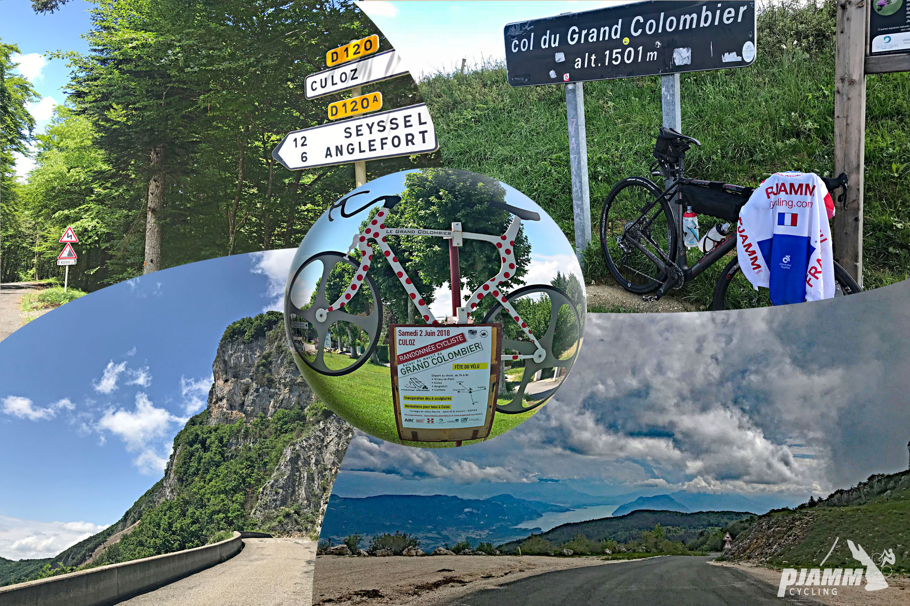
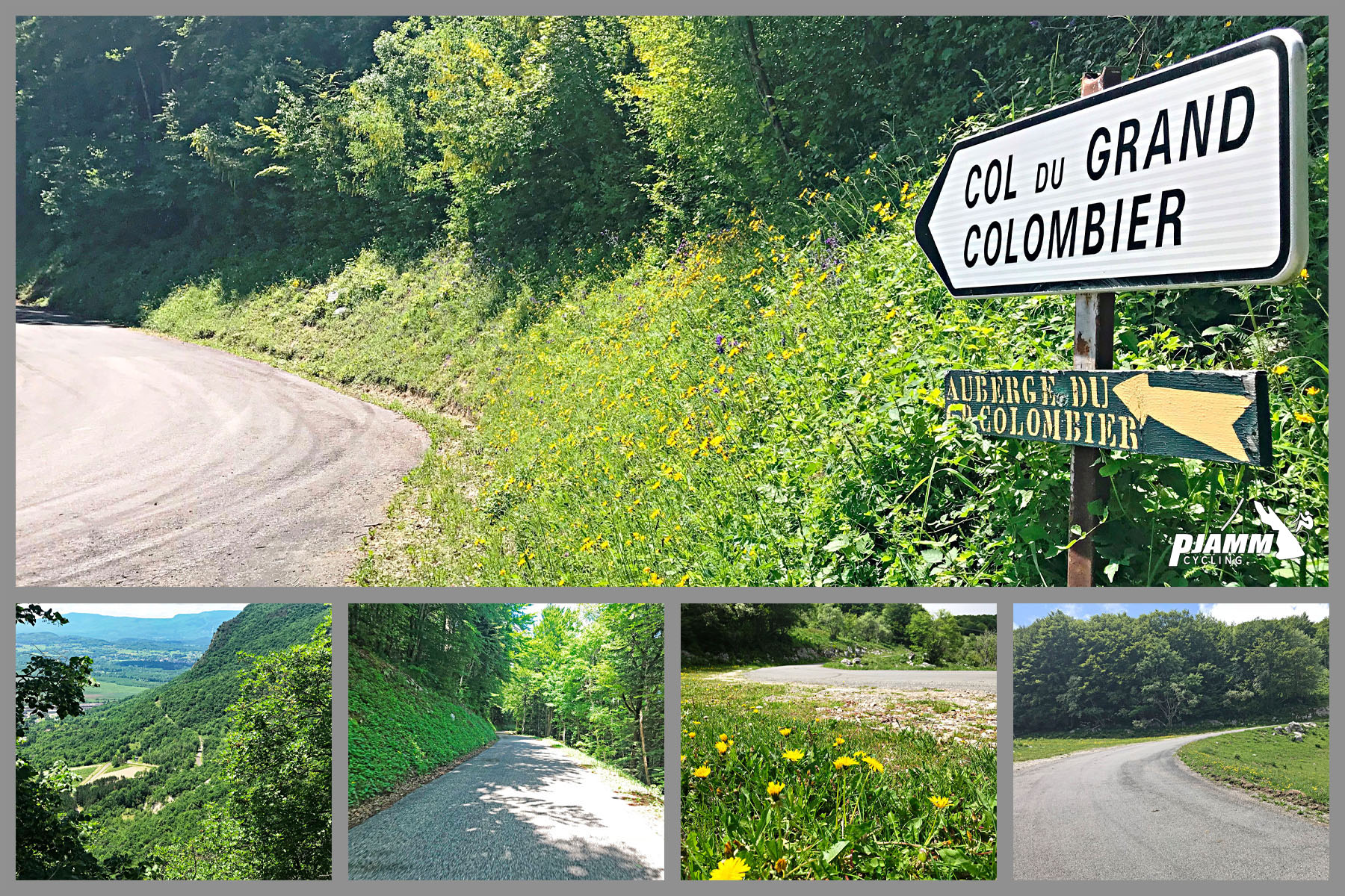
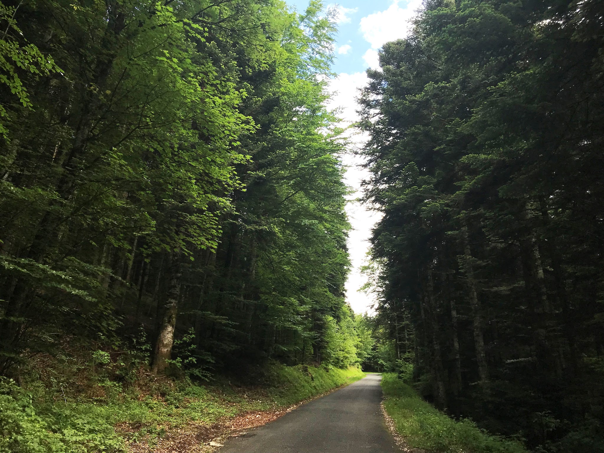
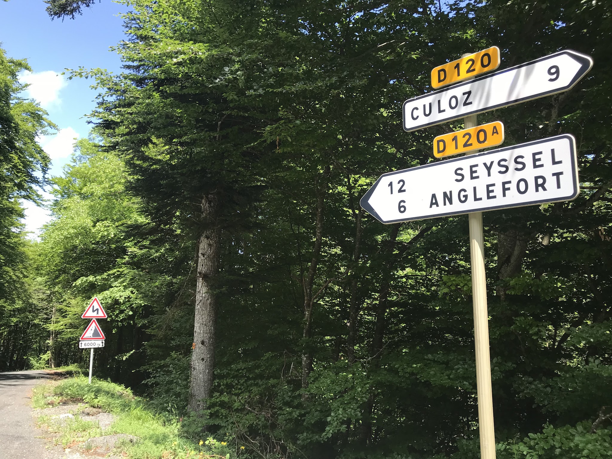
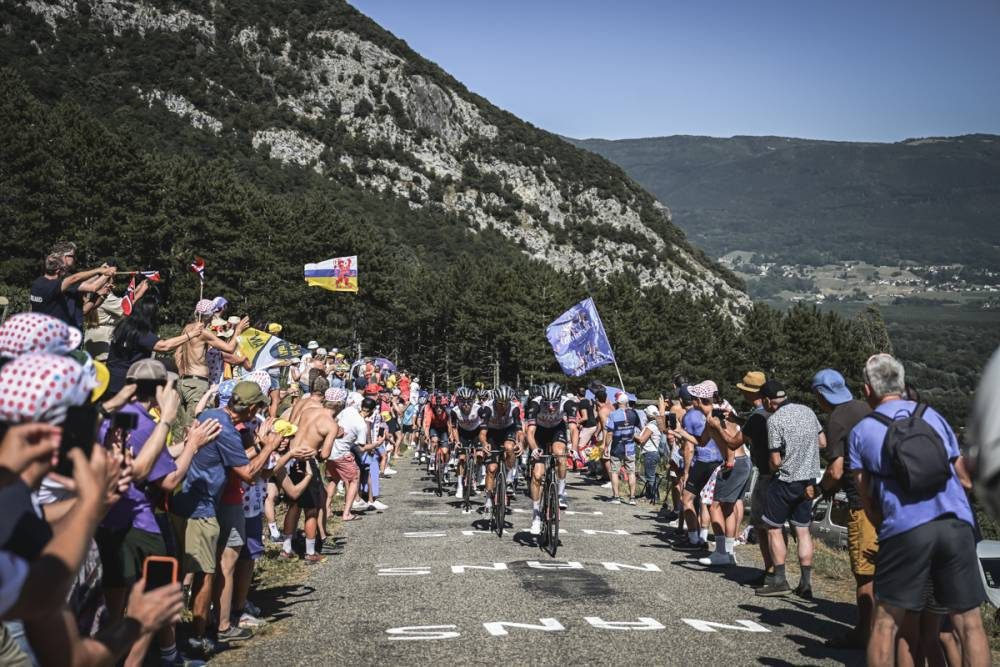
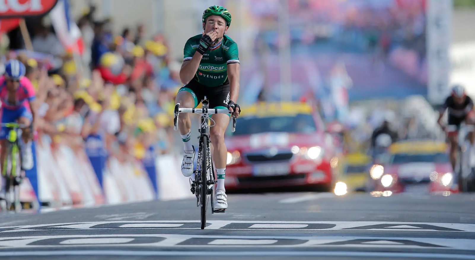
We've climbed all four sides of this mountain, and the Anglefort route starts under tree cover for its first several kilometers before meeting the road up from Culoz at kilometer 6.2. From there the two approaches share the same final 8.8 km, 610m climb at an 8% average grade to the top - the exact stretch the Tour de France has climbed to the summit five times since Grand Colombier's debut in the 2012 race (2012, 2016, 2017, 2020, and 2023).
Before the Tour discovered it, Grand Colombier was already well known in France through the Tour de l'Ain, the Critérium du Dauphiné, and the Tour de l'Avenir.
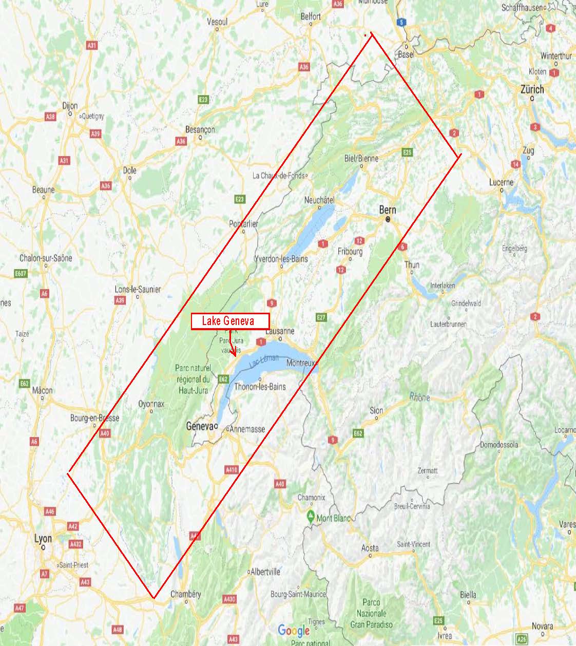
The Jura range it belongs to runs in an arc along the eastern edge of France and the western edge of Switzerland, arcing above Lake Geneva, and is home to some of Europe's hardest climbs outside the Alps and Pyrenees - still relatively unknown to American riders.
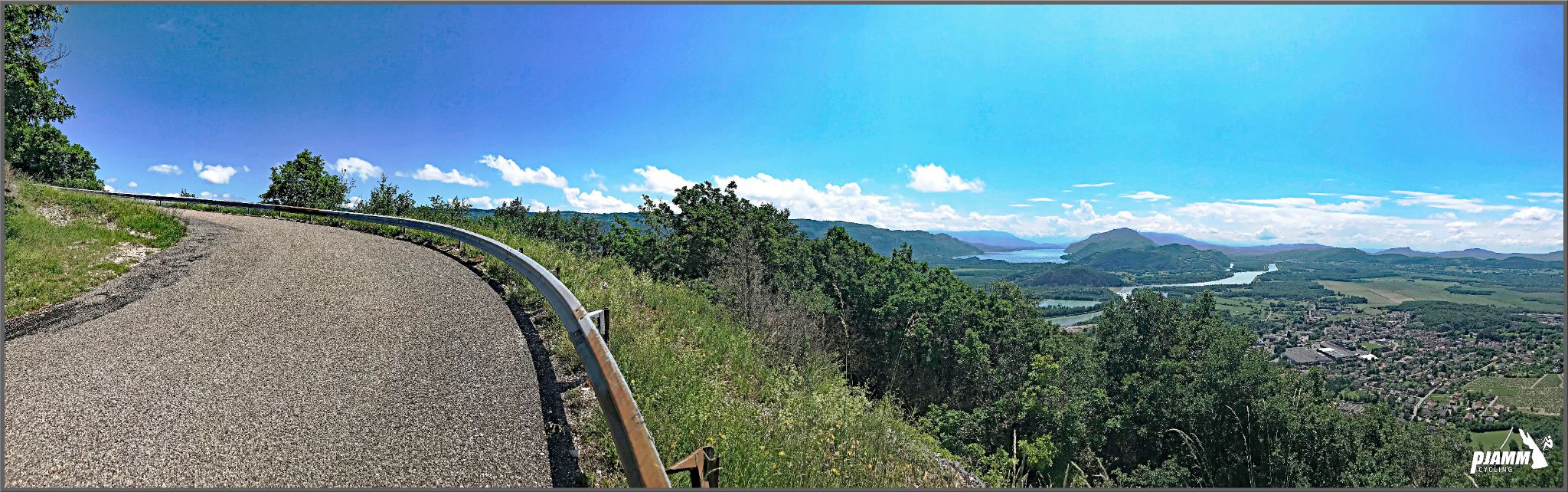
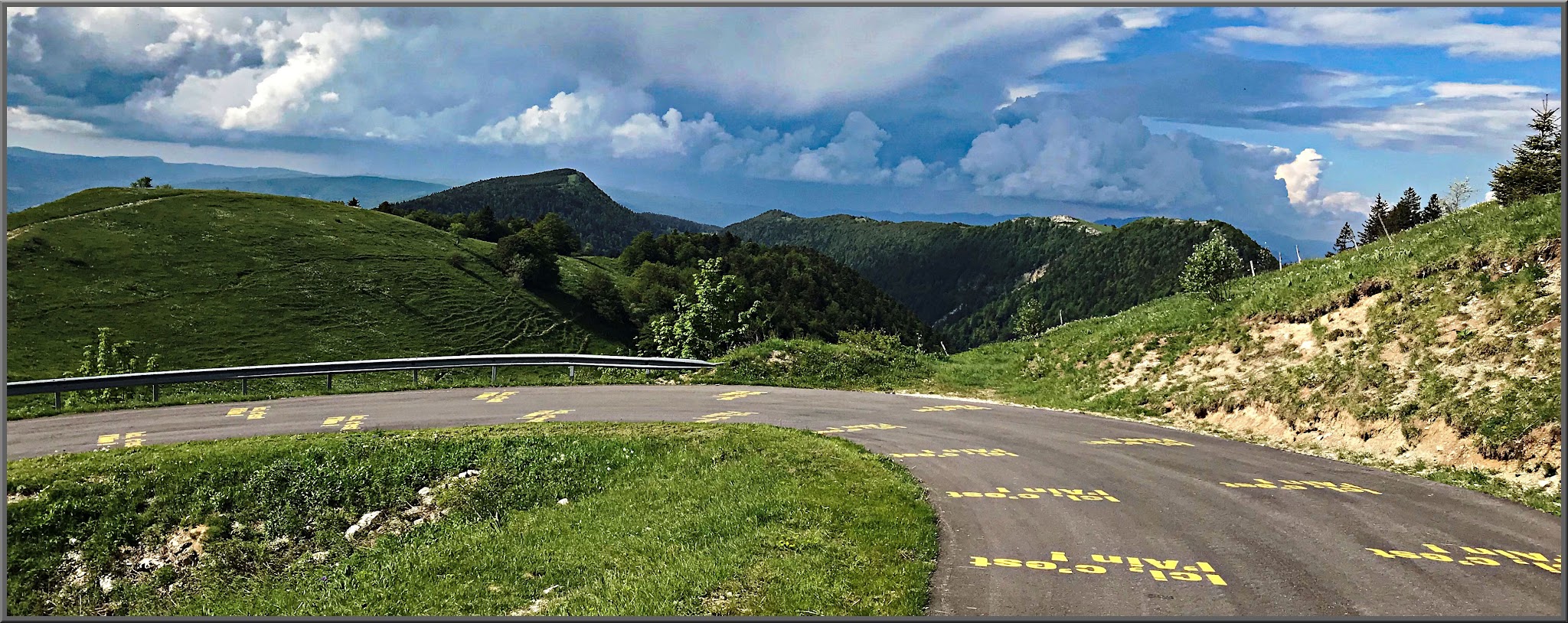
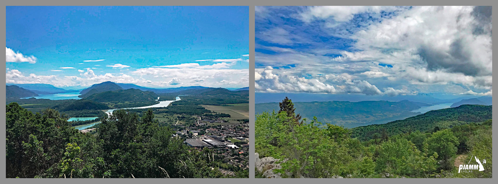
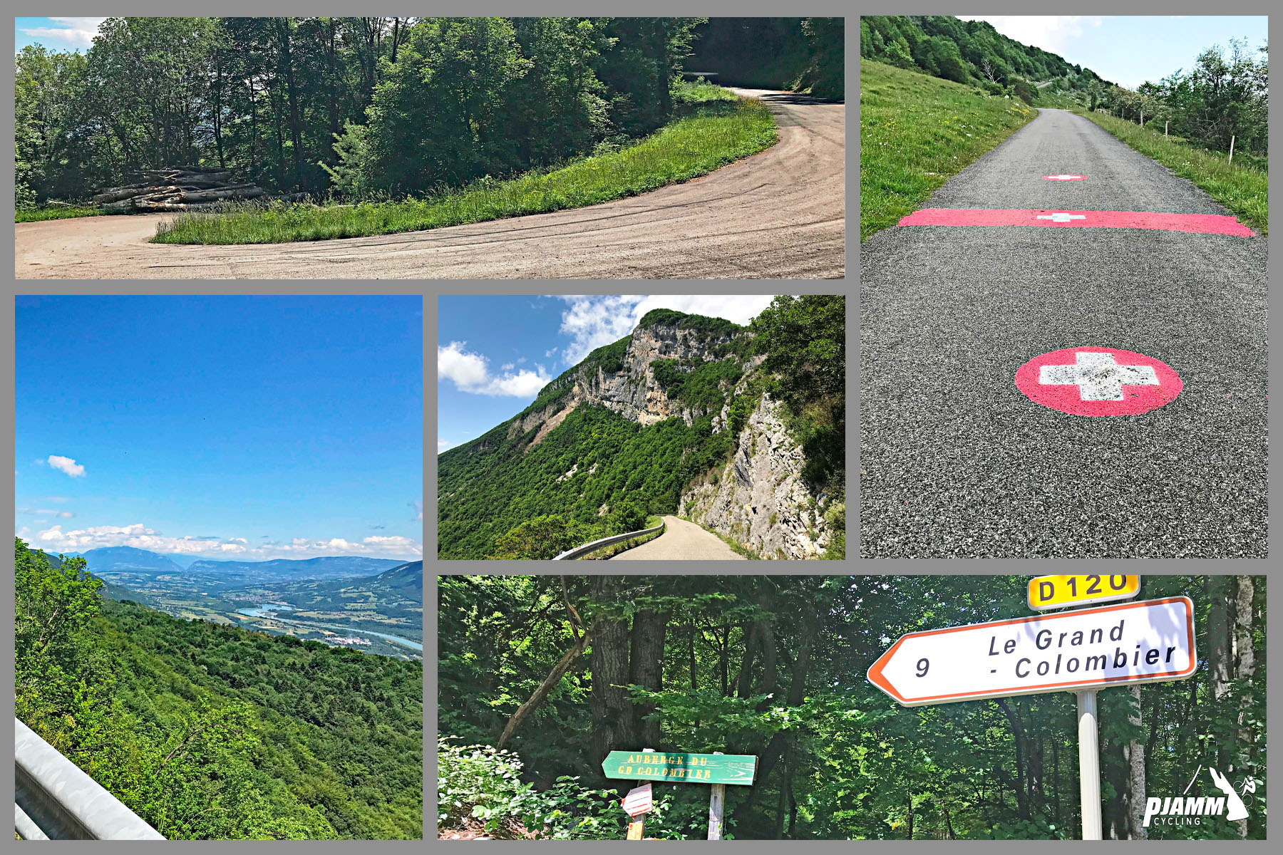
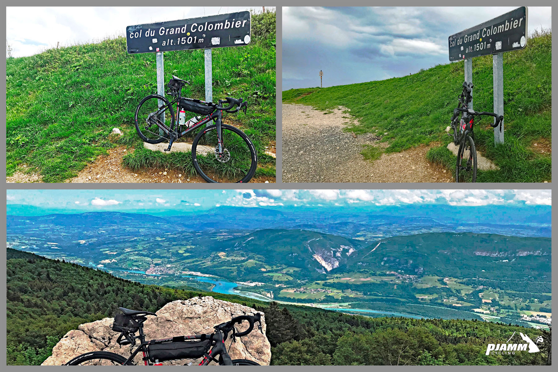
The steepest kilometer on this side averages 10.8%, and the steepest mile 10.6%. Near the top, the route opens onto sweeping views of the Rhône and Lac du Bourget to the east.
PLAN YOUR ROUTE
 We've partnered with Sherpa-Map.com to bring you the best route planning tool. With a PRO Membership you can use this climb as a reference when creating your route.
 Col du Grand Colombier from Anglefort climbs 15.1 km (9.4 mi) and gains 1,194 m (3,917 ft), averaging 7.9% from about 299 m (980 ft) up to roughly 1,479 m (4,854 ft) at the summit.
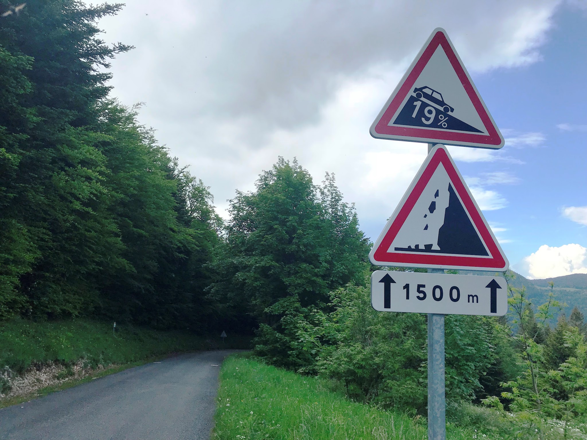
The climb starts under tree cover with milder grades before joining the Culoz approach at kilometer 6.2 for a shared, sustained final 8.8 km at 8% average. The steepest kilometer on this side averages 10.8%, and the steepest mile 10.6% - both concentrated in that closing stretch, so the difficulty is heavily back-loaded rather than spread evenly across the climb.
Roadway: The D120A/D120 is paved the entire way from Anglefort to the summit, and the road quality has held up well enough to host Tour de France stages (this route shares its final 8.8 km with the Culoz approach, the exact stretch the Tour has summited five times since 2012). Like the rest of the mountain, the upper road can close for snow outside the summer season - check the Ain department's road status before an early- or late-season attempt.
Traffic: Light through the wooded lower section out of Anglefort. Traffic picks up somewhat after the junction with the Culoz road at km 6.2, since that's the more popular approach, and again near the summit, where a shared snack stand and viewpoint draw tourists from all four sides in peak season.
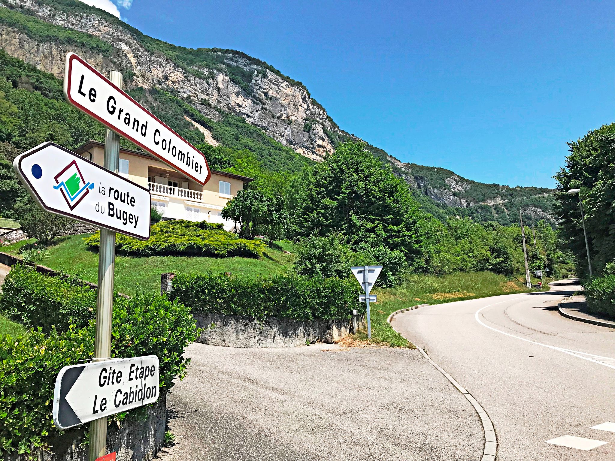
Parking: Anglefort is a small village with straightforward on-street parking near the "T" intersection of the D992 and D120A where the climb begins.
Anglefort has basic services - a bakery and a small grocery store - for a final stop before heading out; it's a village, not a resort town, so don't expect much beyond the essentials. There's very little along the climb itself once you're on the mountain.
At the summit, La Pause du Grand Colombier is a summer-only snack stand shared by all four approaches, a reasonable spot to refuel before the descent, but it isn't guaranteed to be open, so carry enough water and food for the full climb regardless.
Before heading out on any cycling adventure check out our Things to Bring on a Cycling Trip and use our interactive check list to ensure you don't forget anything.
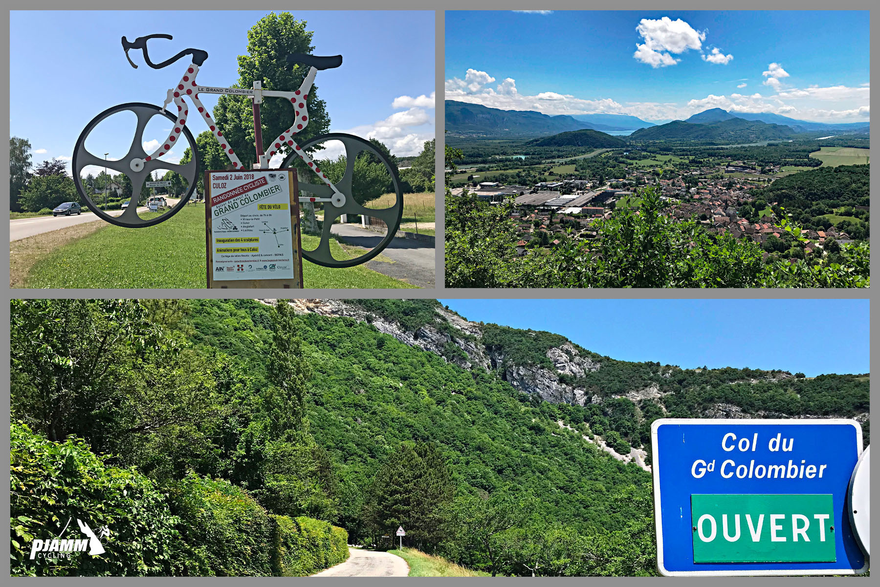
Anglefort sits in the Rhône valley at the foot of the mountain, with easy access to all four routes up Grand Colombier if you're staying in the area for more than a day - Culoz (the most popular and, we found, the most scenic when we rode all four sides in 2018), Artemare (the hardest and steepest), and Lochieu (the shortest and easiest) are all within a short drive.
Since this side shares its upper section with the Culoz approach - the same road the Tour de France has climbed to the summit five times since 2012 - riding up from Anglefort puts you on genuine Tour de France roads for the closing 8.8 km, even though the route starts on quieter village lanes.
See our other Grand Colombier pages, or our Routes in the Area tool, if you're planning to ride more than one side during your stay.
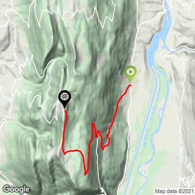
ROUTE MAP
MEMBER RATING
CURRENT WEATHER
PJAMM TRIPS ADVENTURE STARTER BUNDLES
Check out PJAMM Adventure's prepackaged (self-guided) cycling trips. They will help you plan, document and conquer your next adventure.
NEARBY CLIMBS (0) RADIAL PROXIMITY
FROM No Climbs Found
MEMBER REVIEWS & COMMENTS
Let us know what you thought of this climb. Signup for our FREE membership to write a review or post a comment.
Already have an account?
LOG IN HERE