22.9
PDI
5.3 mi
DISTANCE
2,769 ft
GAINED
10 %
AVG. GRADE
FULL CLIMB STATS
INTRO
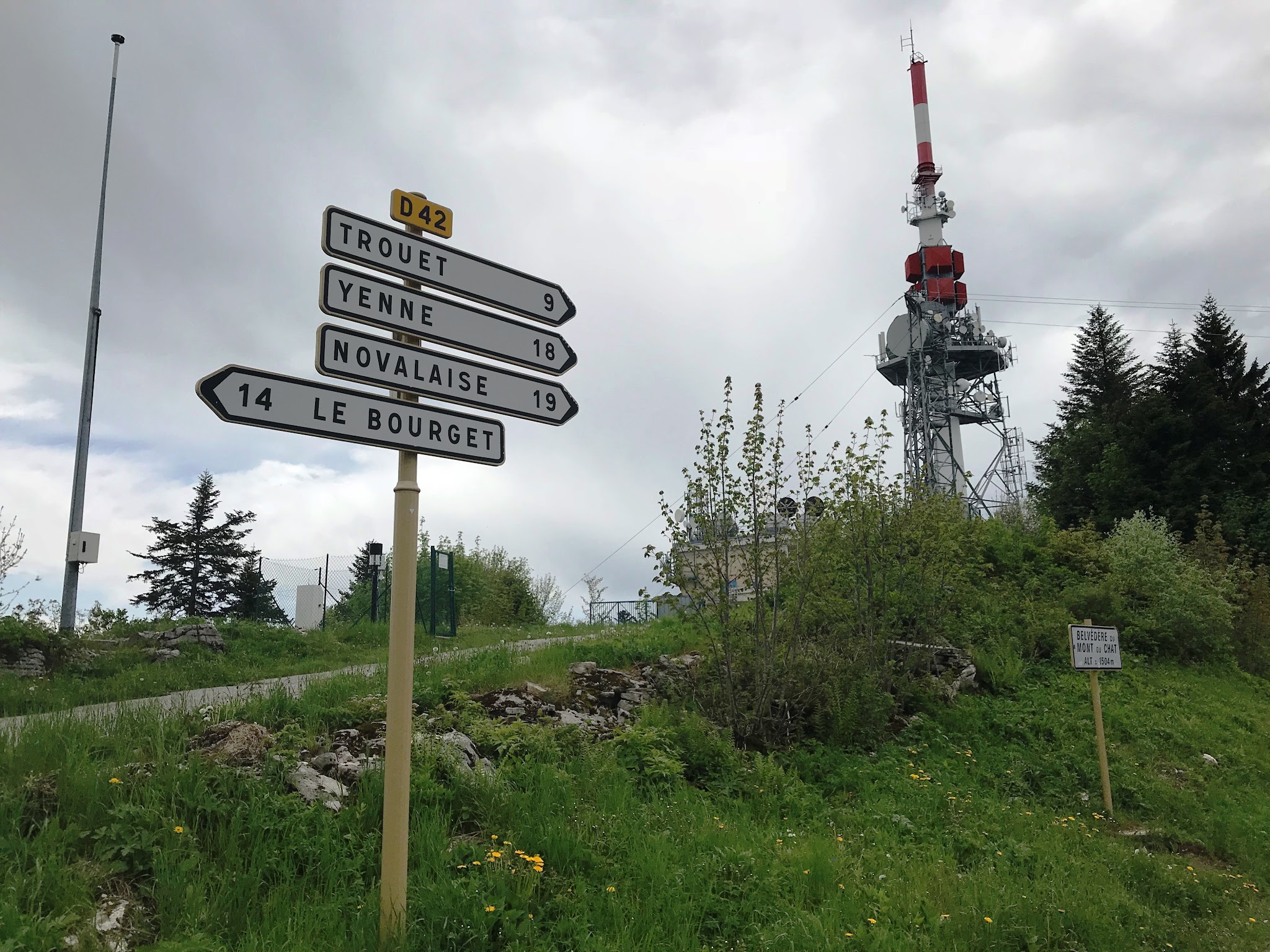
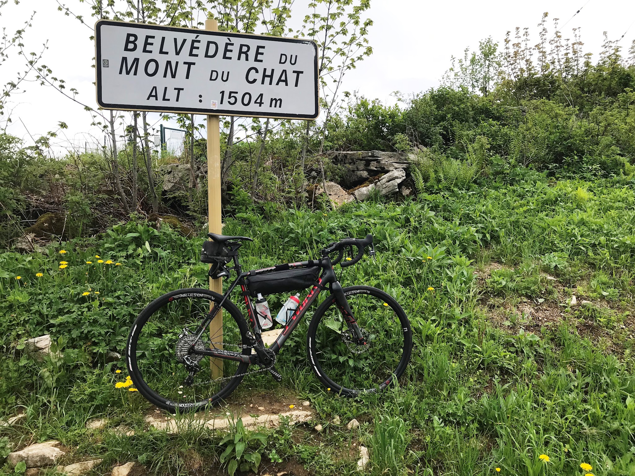
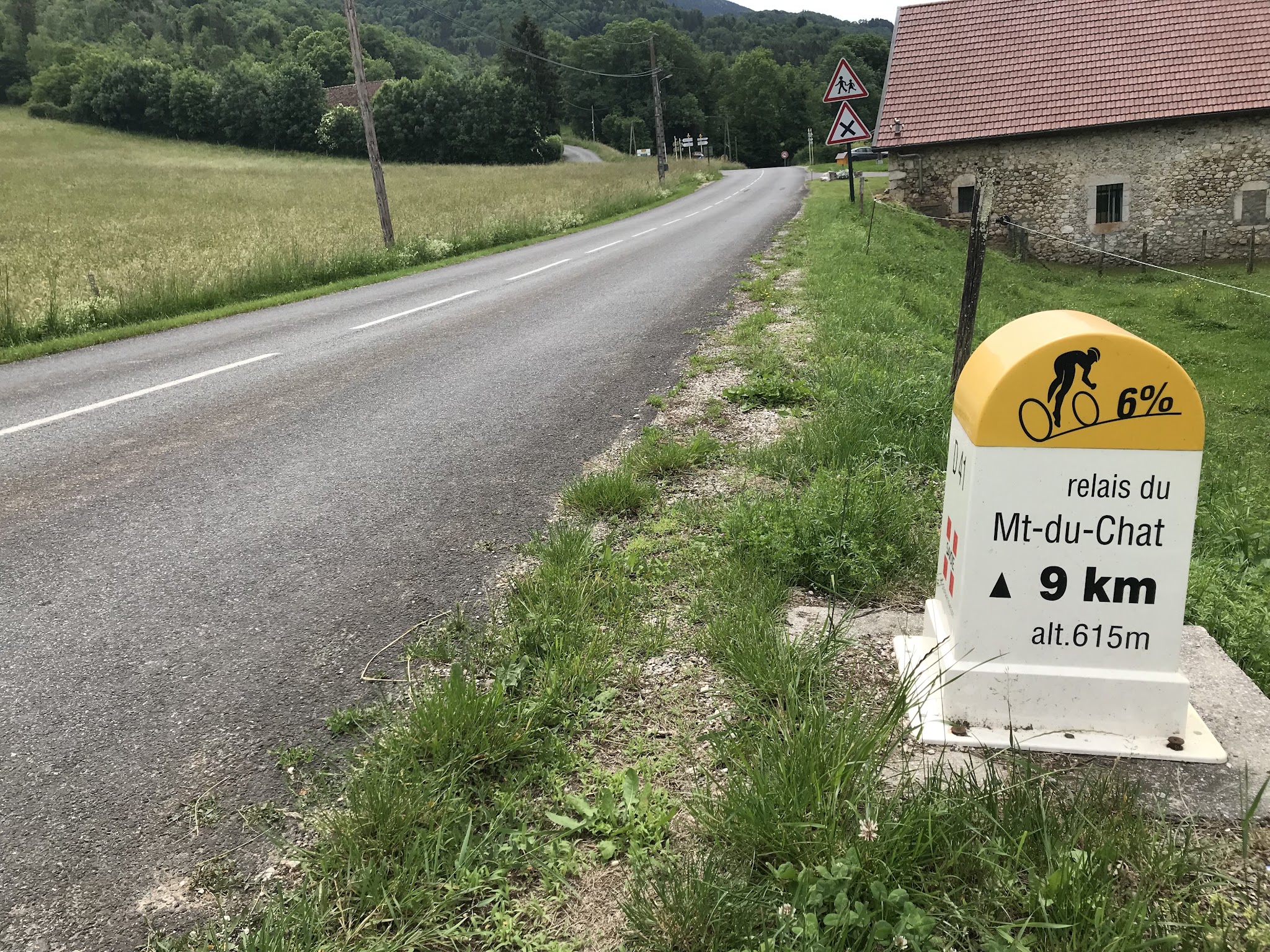
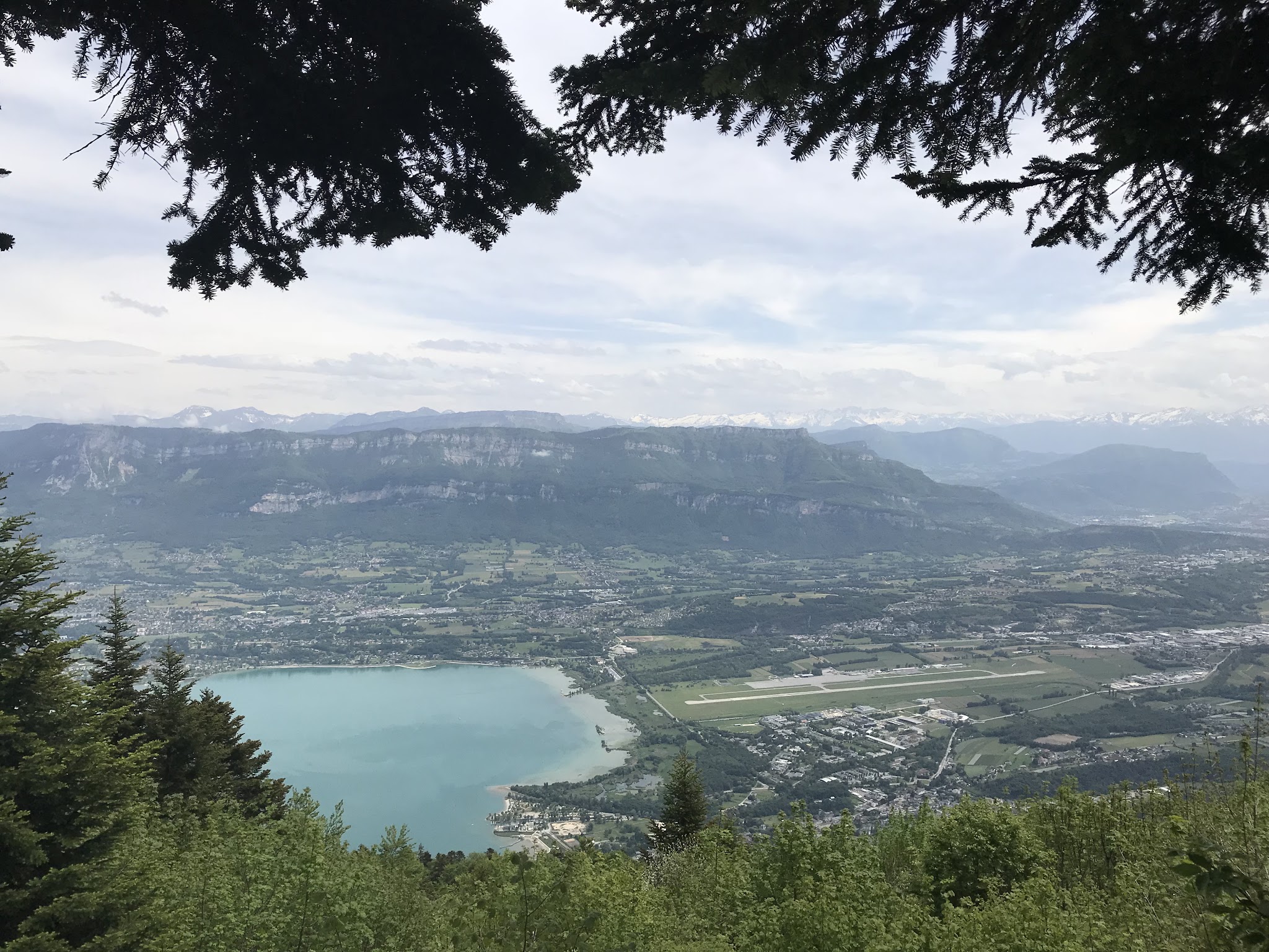
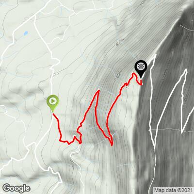
Mont du Chat (also known as Col du Chat) rises above Lac du Bourget in the Savoie department of France, and this western route climbs 8.5 km (5.3 mi) from the hamlet of Cremaire, just north of Meyrieux-Trouet, gaining 844 m (2,769 ft) at a 10.0% average grade to finish near 1,439 m (4,721 ft). It's the steeper of two ways up the mountain - the other begins across the ridge in Le Bourget-du-Lac - and the two roads converge near the summit.
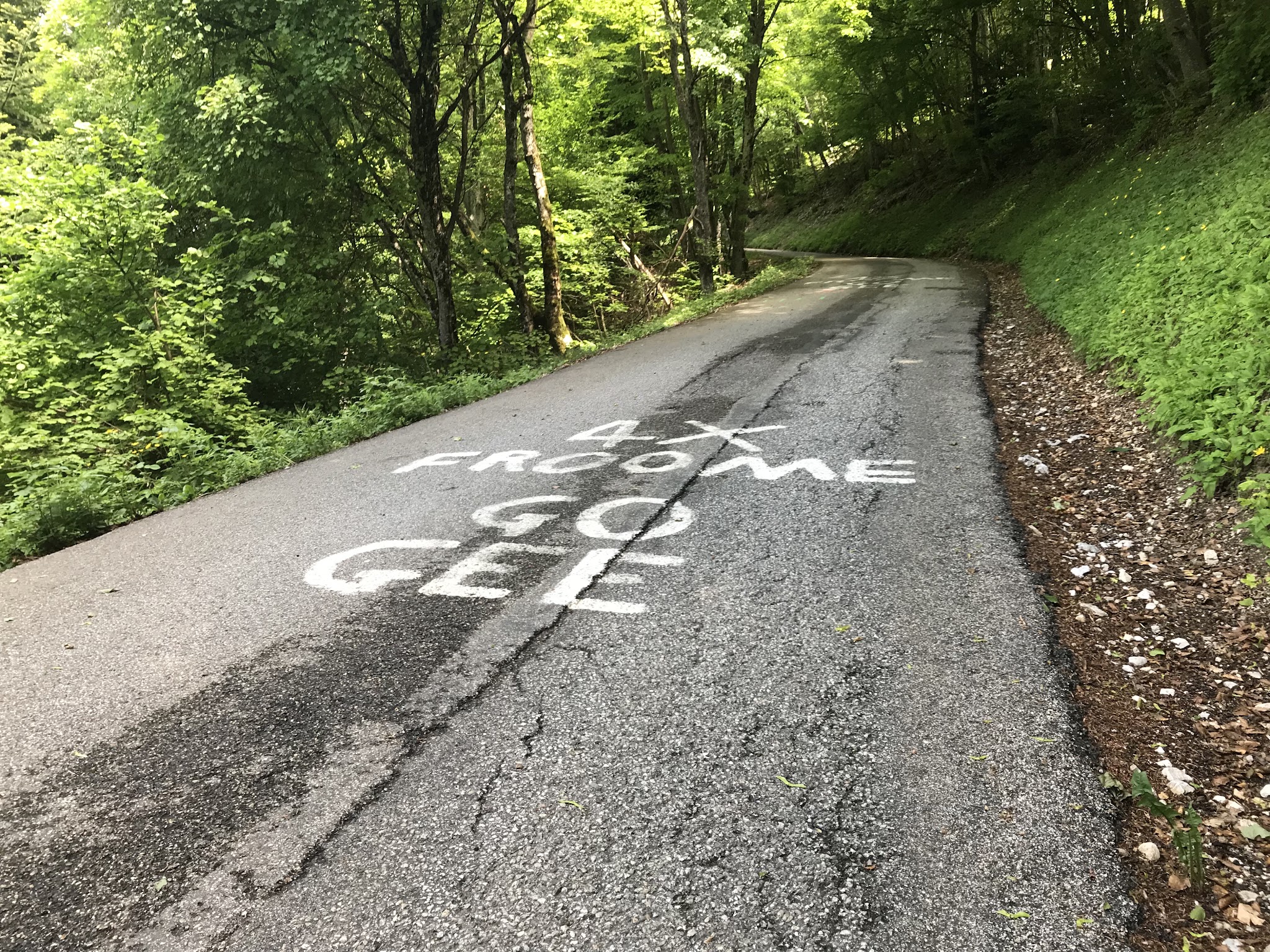
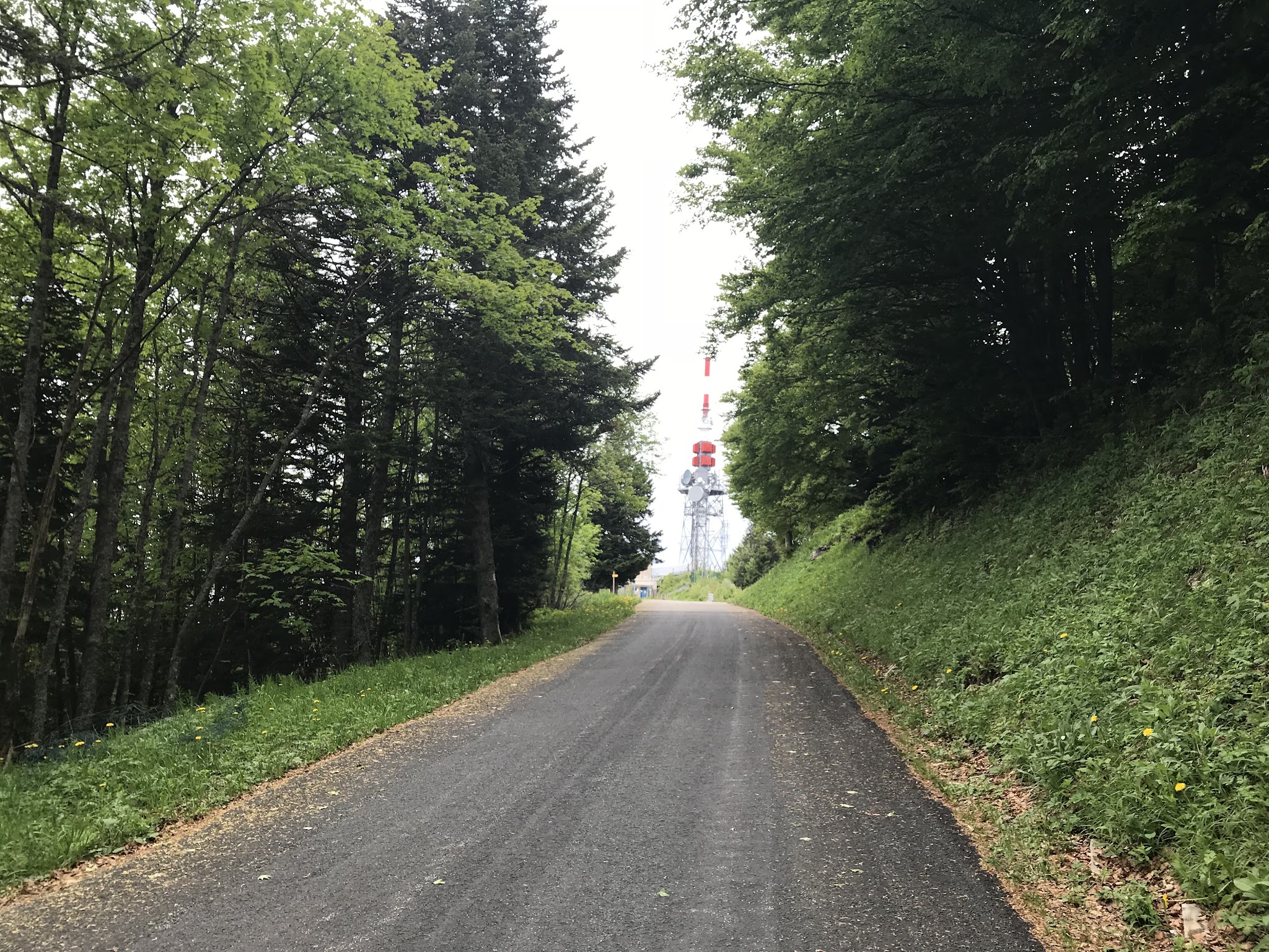
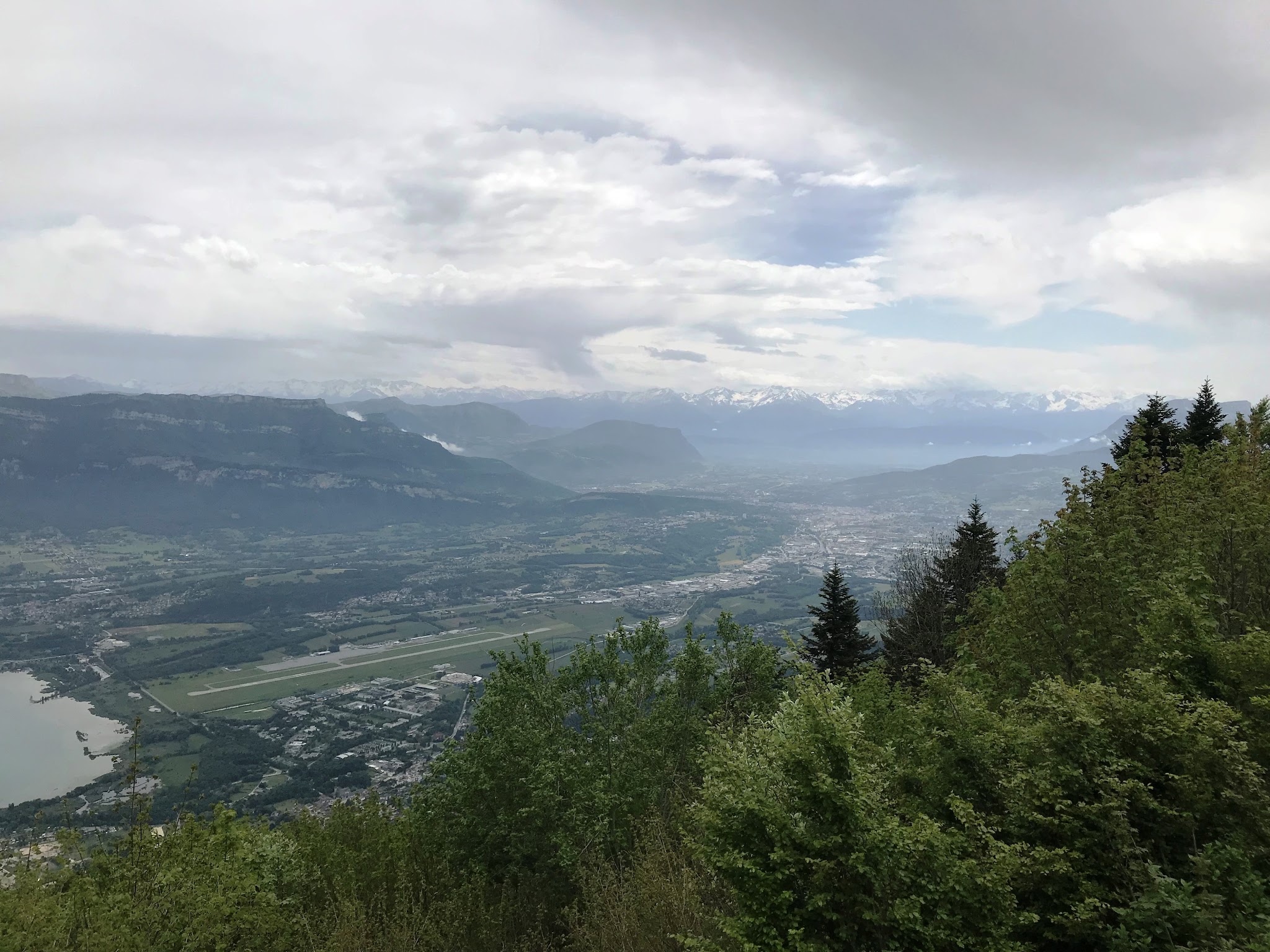
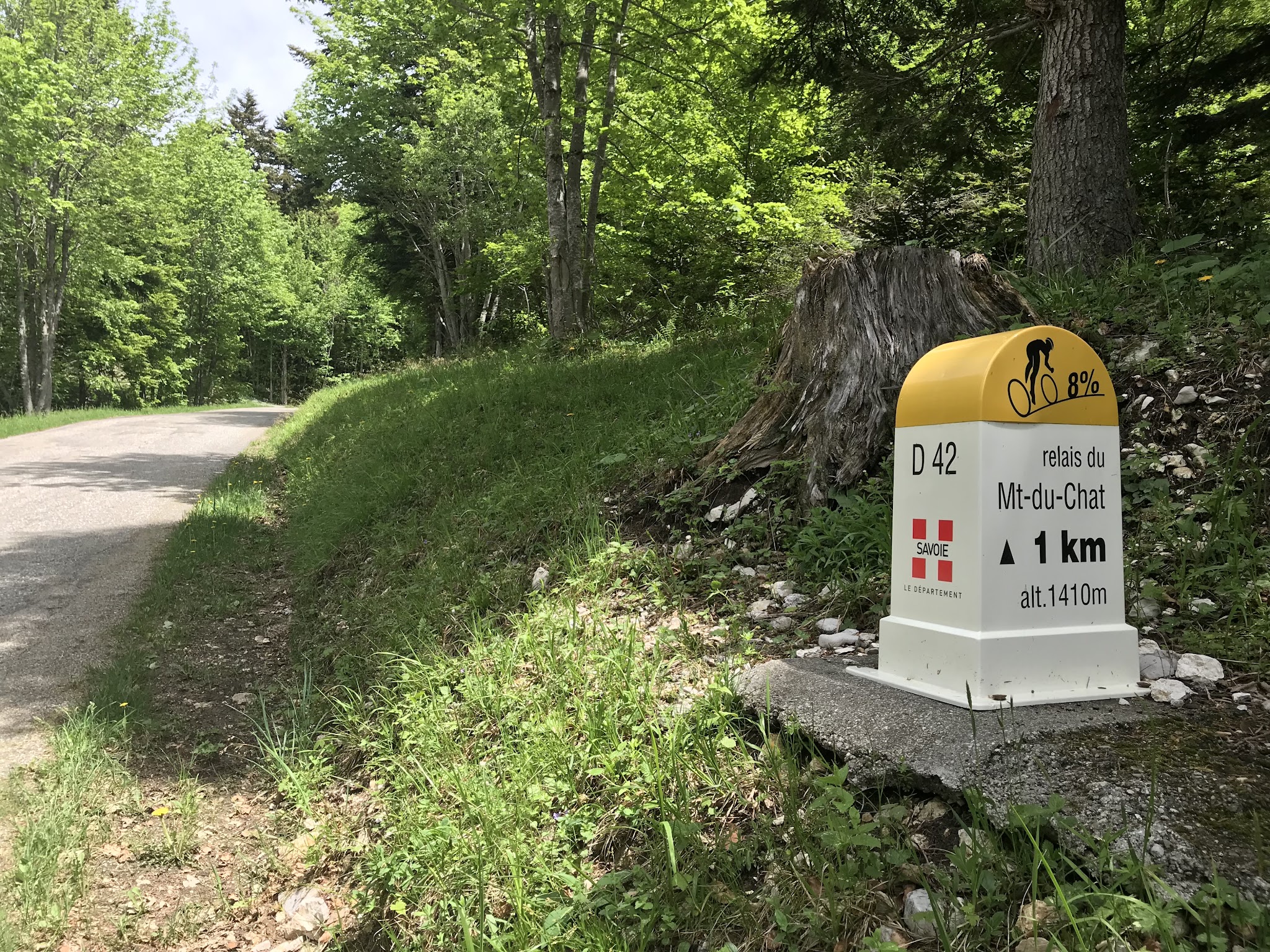
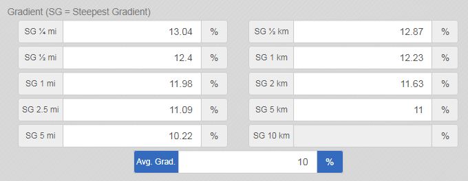
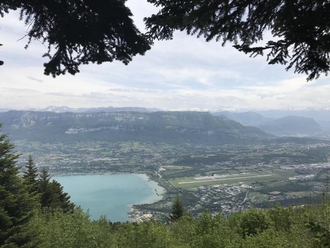
The grade rarely lets up: the steepest kilometer averages 12.3%, and the closing stretch to the col holds double digits nearly the whole way. Thick forest closes in around the road for most of the climb, with the view of the lake only opening up in the final kilometer near the col. Traffic is minimal on this side - it's the quieter, more solitary of the two approaches.
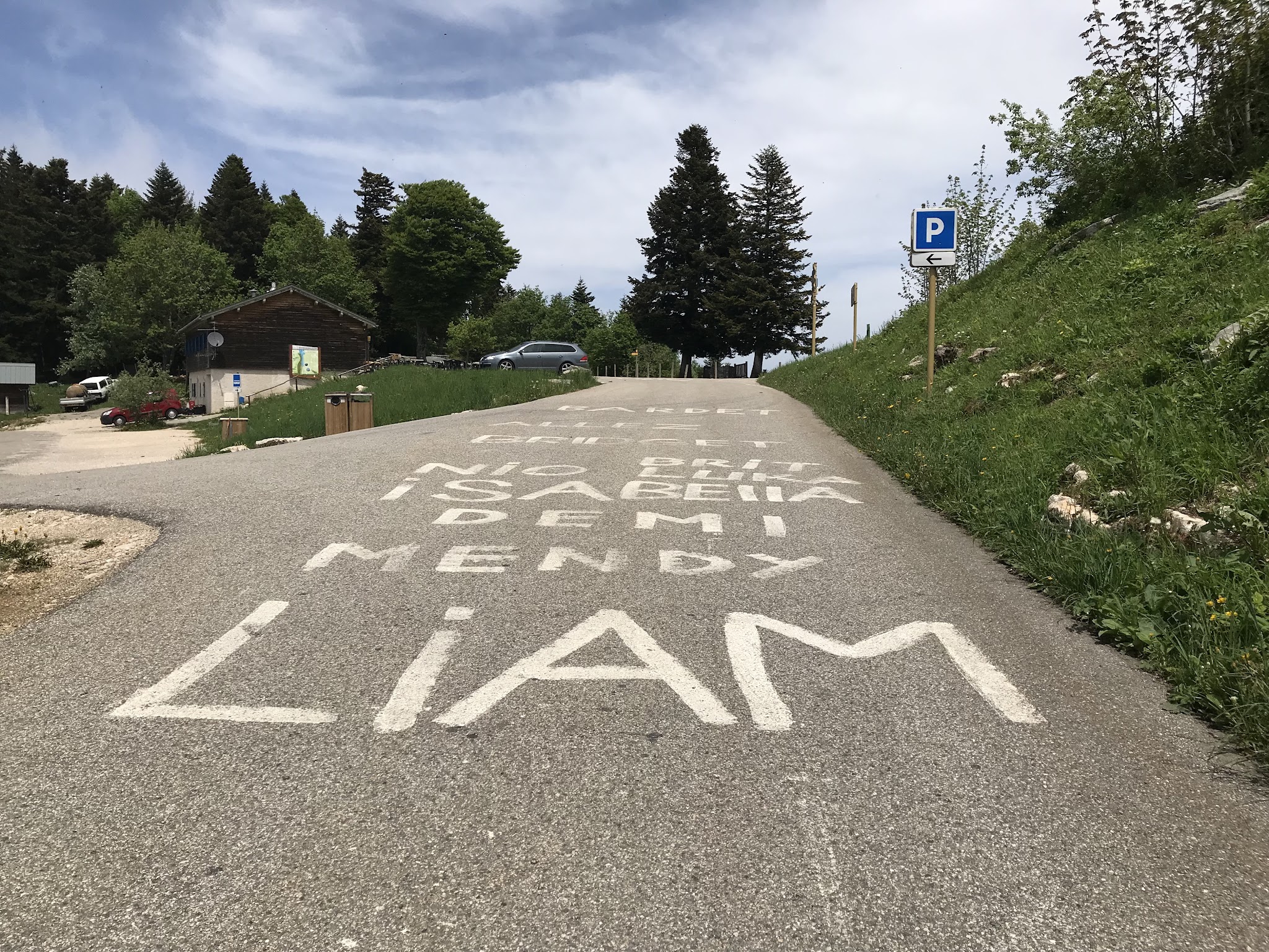
Col du Chat has appeared in the Tour de France twice: a 1974 stage won by Eddy Merckx after reeling in an attacking Raymond Poulidor on the descent, and a hors categorie summit finish in 2017 won by Warren Barguil - a stage remembered as much for Richie Porte's high-speed crash on the descent toward Le Bourget-du-Lac, which ended his Tour with a broken collarbone and pelvis.
Like the rest of the mountain, this road is seasonal - Savoie's department closes it each winter and reopens once conditions allow, typically around the first weekend of May, so check current status if riding in the shoulder season. There's no reliable food or water along the climb itself, and the restaurant at the summit has been closed on past visits, so carry what you need.
PLAN YOUR ROUTE
 We've partnered with Sherpa-Map.com to bring you the best route planning tool. With a PRO Membership you can use this climb as a reference when creating your route.
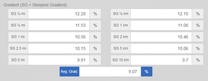
 10.0% average grade over 8.5 km (5.3 mi) from Cremaire to the col. The steepest kilometer, near the top, averages 12.3%, and the steepest 500 meters reaches 12.9% - with short ramps close to the summit touching as much as 13.7%.
Roadway: The D42 is paved the entire way and has been in good to excellent condition on our visits, with far less traffic to contend with than the busier Le Bourget-du-Lac side of the mountain. Like the rest of Mont du Chat, this is a seasonal road - Savoie's department closes it each winter and reopens once conditions allow, typically around the first weekend of May - so confirm it's open before a shoulder-season ride.
Traffic: Light throughout. This is the quieter of the two ways up the mountain, with thick forest lining the road for most of the climb and few vehicles or cyclists to share it with.
Parking: Roadside parking is available near the start in the hamlet of Cremaire, just north of Meyrieux-Trouet at the D42/D41 junction. There's no food or water along the route itself, so carry what you need for the ride.
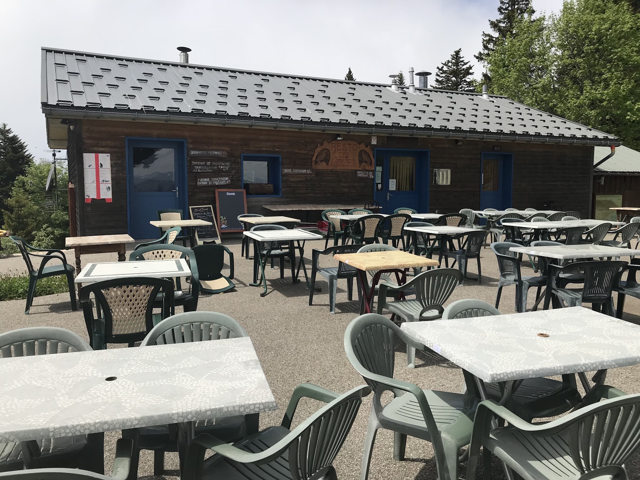
Provisions: There's no reliable food or water along this route, and the restaurant at the summit of Mont du Chat has been closed on past visits. Restaurant des Aigles, near the Relais du Chat close to the col, is generally open and well-regarded if you need a stop near the top.
Before heading out on any cycling adventure check out our Things to Bring on a Cycling Trip and use our interactive check list to ensure you don't forget anything.
Mont du Chat has two ways up, and this steeper, quieter Meyrieux-Trouet side rewards riders looking for solitude and shade. If you'd rather finish with lake views and a livelier finish, PJAMM also covers the Le Bourget-du-Lac side of the same mountain - use our Routes in the Area tool to compare both and find other nearby Savoie climbs.
ROUTE MAP
MEMBER RATING
CURRENT WEATHER
PJAMM TRIPS ADVENTURE STARTER BUNDLES
Check out PJAMM Adventure's prepackaged (self-guided) cycling trips. They will help you plan, document and conquer your next adventure.
NEARBY CLIMBS (0) RADIAL PROXIMITY
FROM No Climbs Found
MEMBER REVIEWS & COMMENTS
Let us know what you thought of this climb. Signup for our FREE membership to write a review or post a comment.
Already have an account?
LOG IN HERE