16.1
PDI
10.6 mi
DISTANCE
2,963 ft
GAINED
5.2 %
AVG. GRADE
FULL CLIMB STATS
INTRO
This is Cortina's own pass - the road out of town toward the Lagazuoi, the Cinque Torri and, over the top, Arabba and the Sella. It isn't the steepest or the most dramatic climb from Cortina (that's the Giau, which turns off halfway up), but it has a rhythm that suits a long day: steady hairpins, a real breather, then steady again.
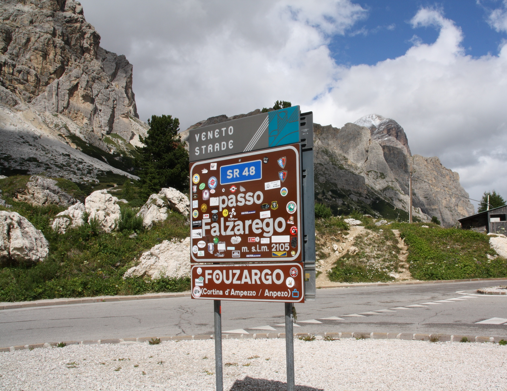
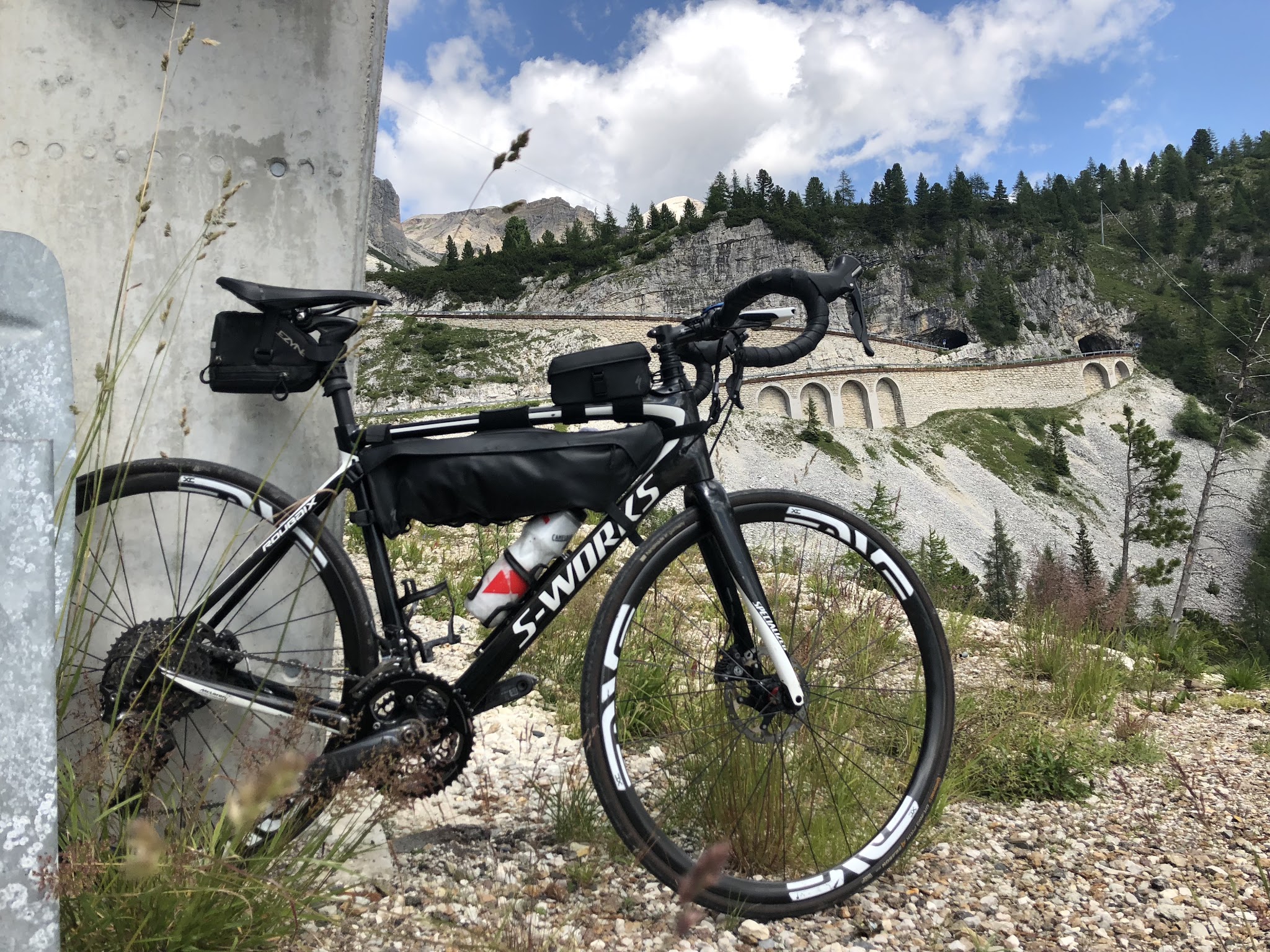
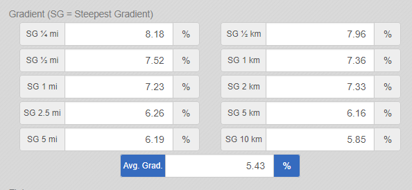
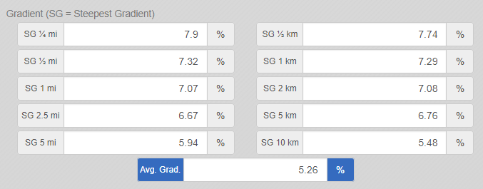
The climb runs 17.1 km (10.6 mi) from the west side of town to the pass at 2105 m (6906 ft), gaining 903 m (2963 ft) at 5.2%. The first kilometer is flat through Cortina, then the SR48 winds up through the forest at 5-7% to Pocol, where the big stone tower of the war memorial stands over the valley and the Giau road peels off left. Past Pocol there's close to 2.5 km of almost level road to recover on. The last 5.5 km go back to a steady 6-7%, with the trees thinning, the Cinque Torri up on your left and the walls of the Lagazuoi filling the view ahead. Even the steepest kilometer, near the top, only averages 7.3%.
This side had its moment in the 2026 Giro d'Italia. On 29 May, Stage 19 came down the Giau to Pocol and raced up the top 10 km of this road, with Einer Rubio first over the pass, before Sepp Kuss won the stage at Piani di Pezzè above Alleghe.
At the top there's a big car park, bars and the Lagazuoi cable car, which lifts you straight up the cliff you've been riding toward for the last half hour.
PLAN YOUR ROUTE
 We've partnered with Sherpa-Map.com to bring you the best route planning tool. With a PRO Membership you can use this climb as a reference when creating your route.
Cortina to Pocol (km 0-7): A flat first kilometer through town, then 4-7% up the hairpins below Pocol, with km 4-6 the firmest at close to 7%.
Pocol and the flat (km 7-11.5): Two more kilometers at 5.5-7%, then the road all but levels out - roughly km 9 to 11.5 averages 1-3%, the one real rest on the climb.
The final push (km 11.5-17.1): Five and a half kilometers at a steady 6.3-7%, with no single ramp much steeper. The steepest kilometer starts at km 15.5 and averages 7.3%, and the hardest 500 m, just below the top, average 7.7%.
Climb stats: 17.1 km (10.6 mi), 903 m (2963 ft) of climbing, 5.2% average, summit at 2105 m (6906 ft).
Roadway: The SR48 delle Dolomiti is a wide main road with good to excellent tarmac from Cortina to the pass. Unlike many Dolomite passes, the Falzarego does not close for the winter - it is kept open all year as Cortina's link to Arabba and Val Badia, and only closes for short spells after heavy snow or when avalanche risk is high. From November, expect snow banks at the top and ice where the road is in shade; drivers must carry winter tires or chains from 15 November to 15 April. Outside summer, check Veneto Strade's road bulletin before you set out.
Traffic: This is the main road west from Cortina, and in July and August it carries a steady stream of cars, motorcycles and buses all the way up. It thins a little above Pocol once the Giau traffic has turned off, and slow buses at least leave long gaps behind them. Start early.
Parking: Most riders staying in Cortina simply ride from the door. Higher up, the Cinque Torri lift car park at Bai de Dones (about 1890 m) and the large car park at the pass beside the Lagazuoi cable car are both handy for a pickup or a shorter ride.
Gear: Nothing on this side stays above 8% for long, so a compact with a 28-tooth cog is plenty. Weather is the bigger question: you finish above 2100 m, and the long descent back to Cortina is cold even in August. Carry a windproof and gloves, and more than that from October on.
Provisions: Stock up in Cortina. The pass has bars and restaurants beside the car park, and in summer the Rifugio Lagazuoi at the top of the cable car serves lunch on a terrace that looks across half the Dolomites.
Before heading out on any cycling adventure check out our Things to Bring on a Cycling Trip and use our interactive check list to ensure you don't forget anything.
Cortina is the obvious base and also the priciest one in the area. From town the Falzarego, the Giau and the Tre Croci all start within a few kilometers, and a classic big day is a loop: up the Falzarego, down the far side to Caprile, then back through Selva di Cadore and over the Giau to Pocol.
The detour worth making on this climb is the Cinque Torri. A chairlift from Bai de Dones, a little over 3 km below the pass, goes up to the towers, where the Italian trenches and gun positions of the First World War have been restored as an open-air museum - a good rest-day outing. The Pocol war memorial at the foot of the Giau road is covered on our Passo Giau (North) page, and the Lagazuoi tunnels and Forte Tre Sassi at the top on Passo Valparola (Caprile). To plan a loop from Cortina, Routes in the Area lays out the climbs that start from town.
ROUTE MAP

MEMBER RATING
CURRENT WEATHER
PJAMM TRIPS ADVENTURE STARTER BUNDLES
Check out PJAMM Adventure's prepackaged (self-guided) cycling trips. They will help you plan, document and conquer your next adventure.
NEARBY CLIMBS (0) RADIAL PROXIMITY
FROM No Climbs Found
MEMBER REVIEWS & COMMENTS
Let us know what you thought of this climb. Signup for our FREE membership to write a review or post a comment.
Already have an account?
LOG IN HERE