18.9
PDI
12 mi
DISTANCE
3,415 ft
GAINED
5.4 %
AVG. GRADE
FULL CLIMB STATS
Page Contributor(s): Luke Hise, AZ
INTRO
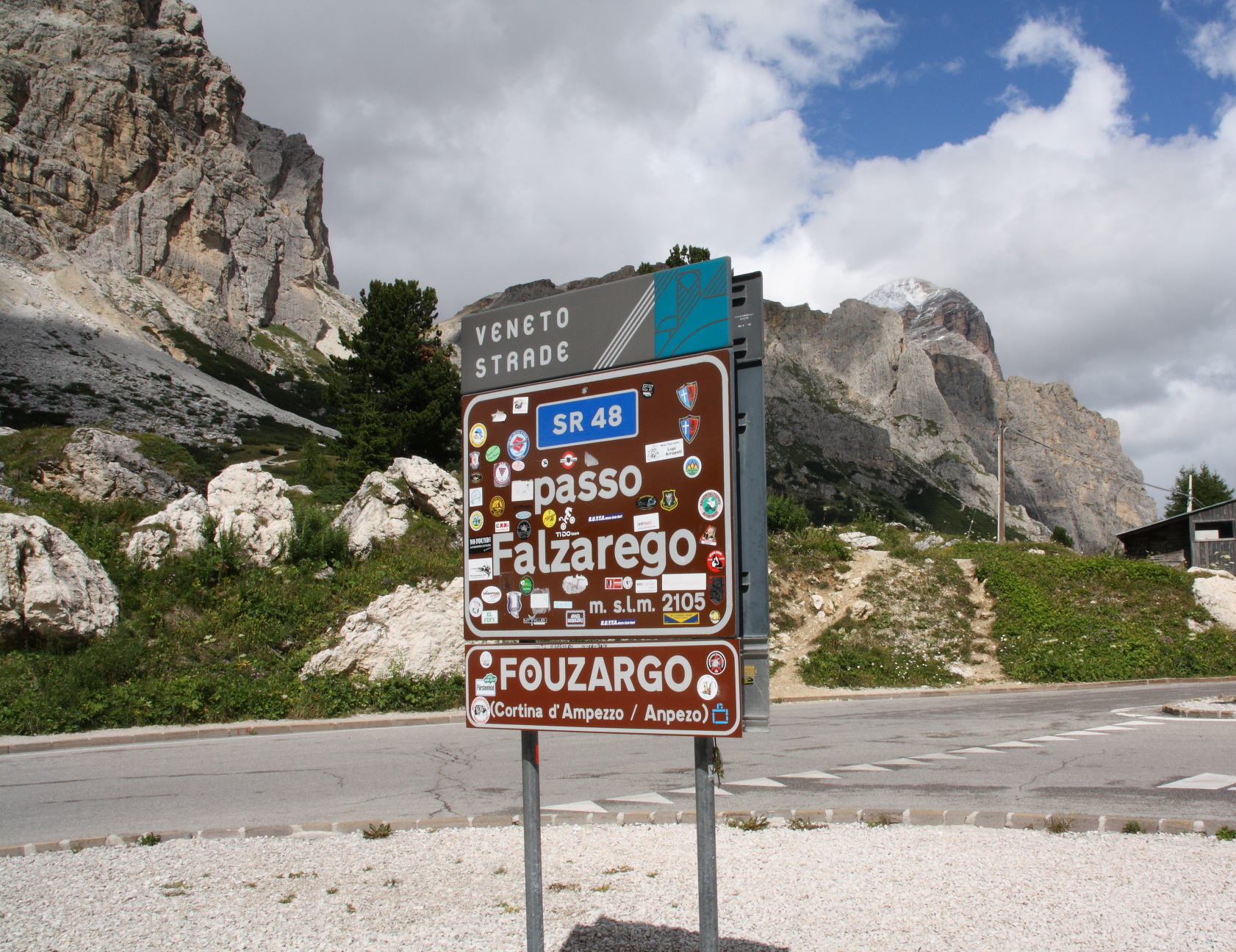
Passo Falzarego from Caprile is the long, steady way onto one of the Dolomites' most famous passes. The route covers 19.3 km (12.0 mi) and gains 1041 m (3,415 ft) at a 5.4% average, climbing out of the Cordevole valley on the SR203 to Cernadoi and then up the SR48 delle Dolomiti to the 2105 m (6,906 ft) pass beneath the cliffs of the Lagazuoi. By our rankings it is #1125 in the world.
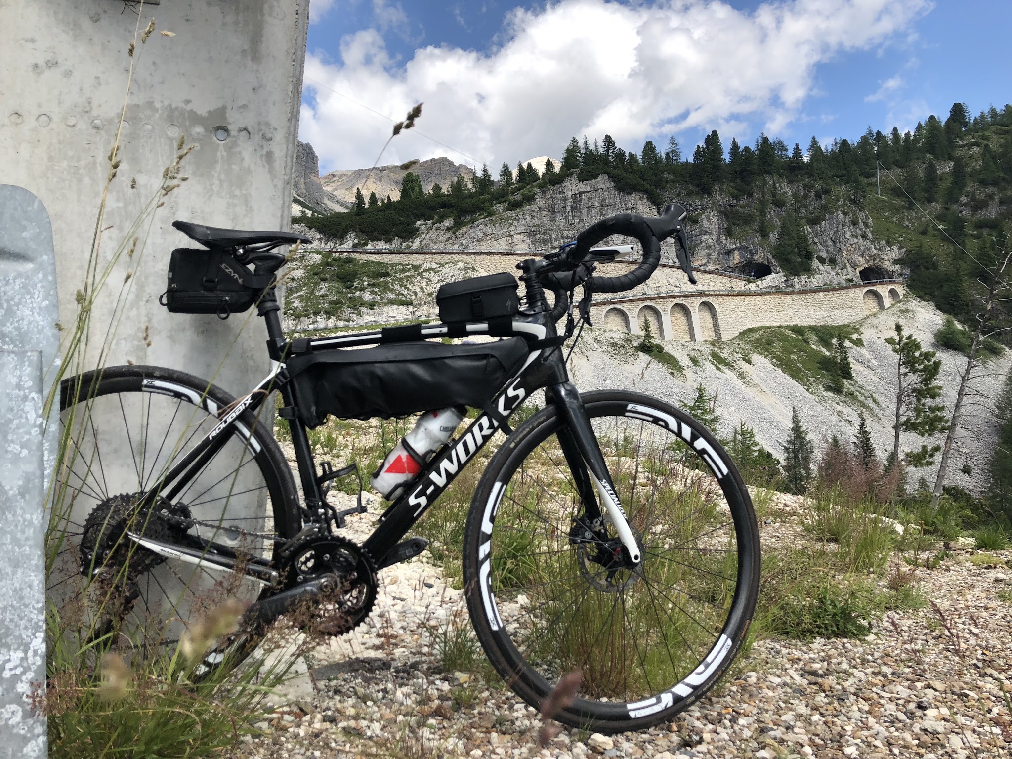
It's a climb of two halves. The first 10 km are a mix of solid 6-7% ramps and long false flats through the forest and hamlets of Livinallongo; from Cernadoi, the final 9 km climb at a steady 6% through numbered hairpins, two galleries and a short rock tunnel. Around 1745 m (5,725 ft) the road passes within sight of the Castello di Andraz, an 11th-century castle built on a giant fallen boulder to guard the iron road from the Fursil mines. Above the tree line, the last kilometers open onto big views of the surrounding Dolomite walls.
Falzarego is a regular in the Giro d'Italia. On 29 May 2026, Stage 19 crossed the pass, where Giulio Ciccone attacked, before plunging down this road through Cernadoi toward the finish above Alleghe, won by Sepp Kuss.
PLAN YOUR ROUTE
 We've partnered with Sherpa-Map.com to bring you the best route planning tool. With a PRO Membership you can use this climb as a reference when creating your route.
Passo Falzarego from Caprile climbs 19.3 km (12.0 mi) and gains 1041 m (3,415 ft) at an average of 5.4%.
The opening 3 km out of Caprile are among the hardest of the climb at around 6-7%, and the steepest kilometer (7.3%) comes early, starting just after km 1. From km 3 to Cernadoi at km 10, the road alternates between short climbs and long stretches at 2-5% - easy on paper, but the false flats make the distance feel long. From the Cernadoi junction, the SR48 climbs the final 9 km (5.6 mi) at a remarkably consistent 6%, with every kilometer between about 5.5% and 7.5% to the top.
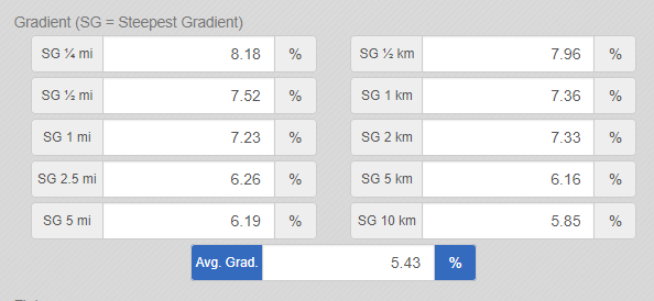
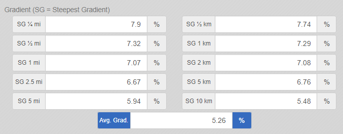
The steepest 2 km (1.2 mi) average 7.3%, the steepest 5 km (3.1 mi) 6.1% and the steepest 10 km (6.2 mi) 5.8%. The steepest 500 m (0.3 mi) averages 7.9%, and the steepest 100 m pitch reaches 9.5%.
Roadway: The route is paved the entire way, following the SR203 from Caprile to Cernadoi and then the SR48 delle Dolomiti to the pass. It's a major Dolomites road and generally well maintained - it was raced down in the 2026 Giro d'Italia - though riders reported roadworks on this side as recently as September 2025, so expect the occasional patched or freshly resurfaced section. Near the top, the road passes through two galleries and a short rock tunnel. This is a high-altitude road: snow and ice can affect it early and late in the season.
Traffic: Light to moderate below Cernadoi. On the SR48 traffic builds, especially in July and August and on summer weekends, when motorcycles and tourist cars head for the pass and the Lagazuoi cable car. The pass is closed to motor traffic for the Dolomites Bike Day each June (20 June in 2026) - the best day of the year to ride it.
Parking: Caprile is the natural start - its roadside parking near the village center is covered on our Passo Fedaia page. At the top, the summit parking by the Lagazuoi cable car is handy for a pickup or a car-assisted one-way ride.
Provisions: Fill bottles in Caprile - there's little on the way up beyond a few small hamlets, so carry enough for nearly two hours of climbing. Passo Falzarego has food and drink at the summit.
Gear: The 5.4% average is moderate, so a compact crank with a 28-tooth or larger cog is plenty for most riders. Bring front and rear lights for the galleries and rock tunnel near the top, and a windproof layer: the pass sits above 2100 m (6,890 ft), and the descent back to Caprile is long and cold.
Before heading out on any cycling adventure check out our Things to Bring on a Cycling Trip and use our interactive check list to ensure you don't forget anything.
This page goes deep on the castle you pass on the way up. The Castello di Andraz, built in 1027 on a huge boulder that fell from the mountain, guarded the iron road from the Fursil mines on Monte Pore, whose manganese-rich "ferro dell'agnello" was traded across Europe. It belonged to the Prince-Bishops of Brixen for much of its history - Bishop Nicolò Cusano lived there from 1457 to 1460 - and was consolidated between 1986 and 2002. It's visible from the SR48 and reached by a detour of just over 2 km, with guided visits in season. The Fursil mine gallery can also be toured, with a shuttle from Colle Santa Lucia.
At the pass, a folk legend links the name Falzarego to a "false king" of the Fanes turned to stone for betraying his people. For the Lagazuoi's WWI tunnels and Forte Tre Sassi, see our Passo Valparola (Caprile) page. Check our Weather tool before you go - afternoon storms build quickly at 2105 m (6,906 ft).
ROUTE MAP

MEMBER RATING
CURRENT WEATHER
PJAMM TRIPS ADVENTURE STARTER BUNDLES
Check out PJAMM Adventure's prepackaged (self-guided) cycling trips. They will help you plan, document and conquer your next adventure.
NEARBY CLIMBS (0) RADIAL PROXIMITY
FROM No Climbs Found
MEMBER REVIEWS & COMMENTS
Let us know what you thought of this climb. Signup for our FREE membership to write a review or post a comment.
Already have an account?
LOG IN HERE
Mbrosius
We did this in September 2025. They were working on the road when we went which is why I rated the road a 3. The scenery like everything else in the Dolomites is spectacular. We spent a week in Arabba and were able to do different rides every day with all of them being spectacular. Hotel malitta which is a great place for cyclists. Highly recommend it
grock333
A must do climb if you're in the area doing loops. The scenery is A++. Very little traffic.