31.3
PDI
12.4 mi
DISTANCE
4,654 ft
GAINED
7.1 %
AVG. GRADE
FULL CLIMB STATS
INTRO
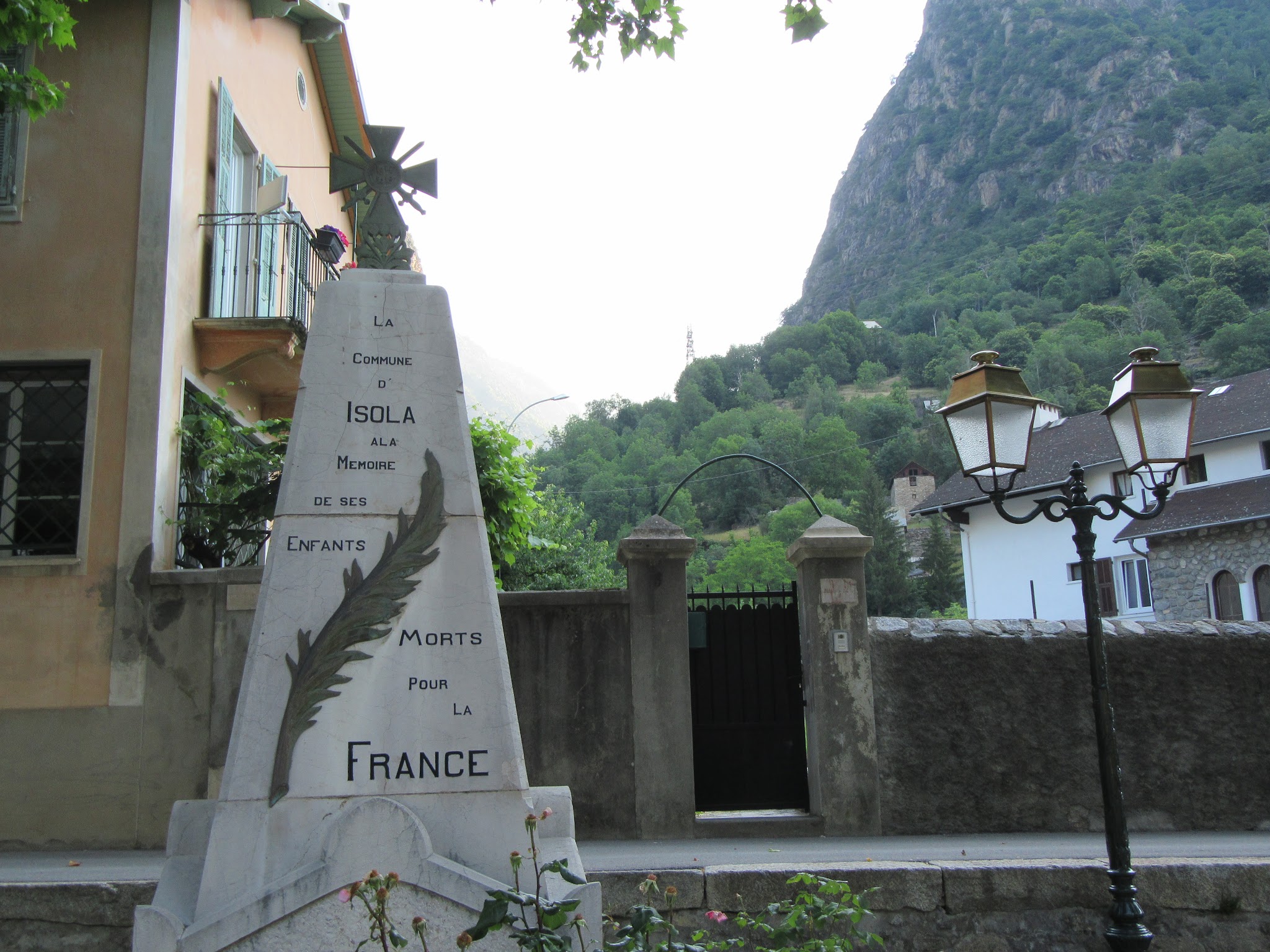
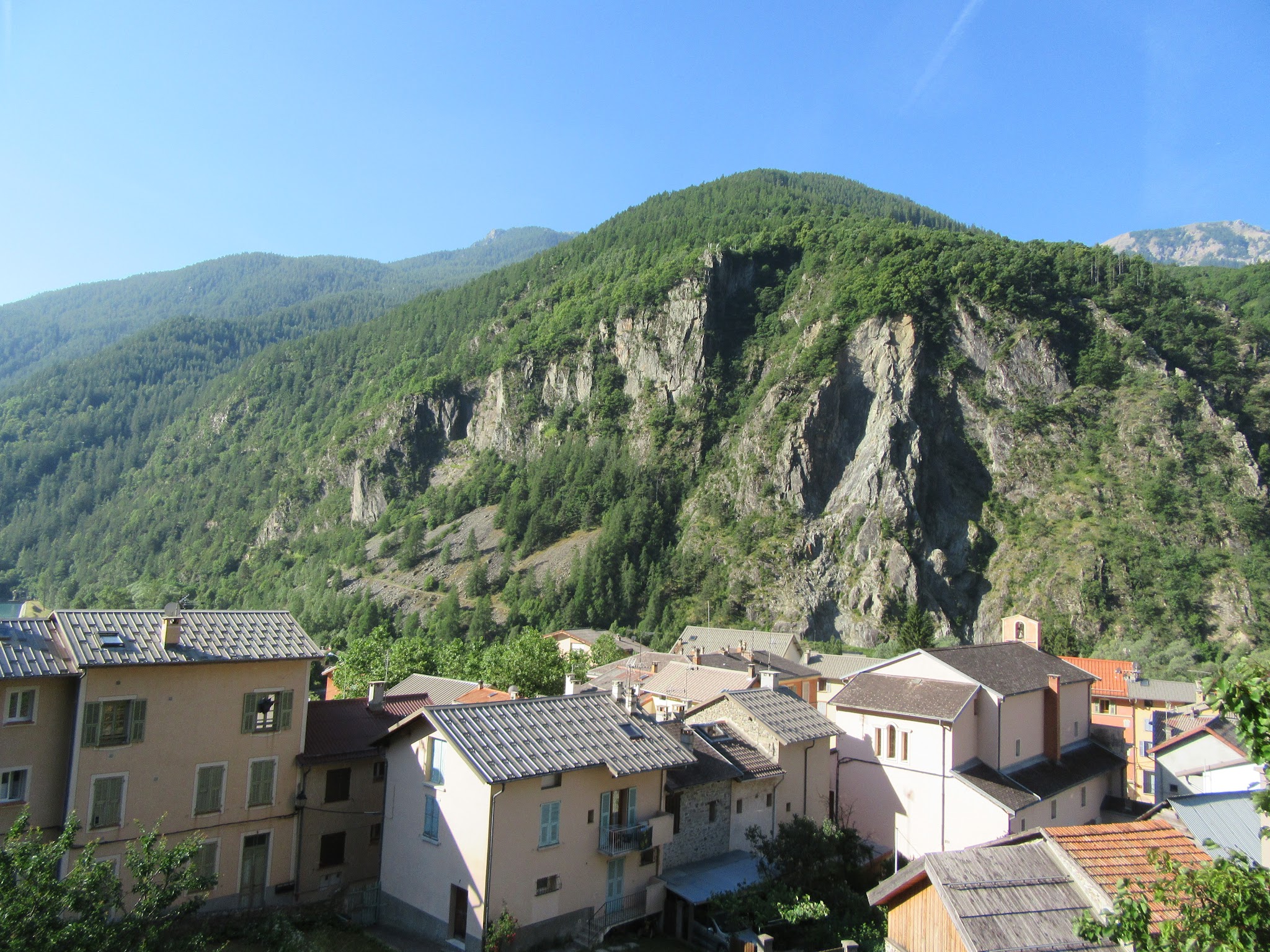
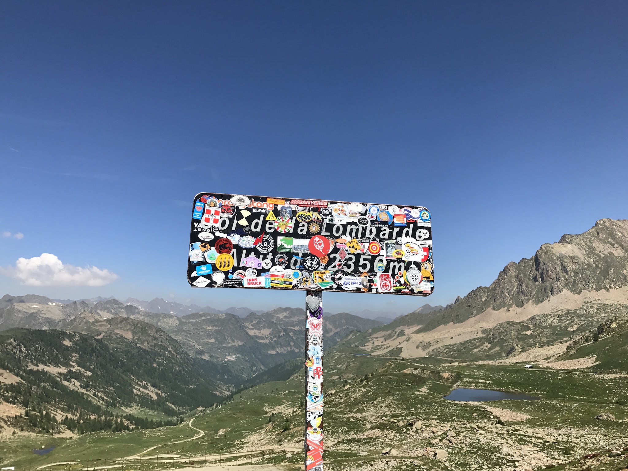
Col de la Lombarde climbs 12.4 miles out of Isola, a small village in the Tinee Valley of the Alpes-Maritimes, gaining 4,654 feet at a 7.1% average grade to the French/Italian border at 7,554 feet. It's one of the highest paved passes in the Mercantour region, and the Tour de France came down this same French side in the 2008 stage from Cuneo to Jausiers.
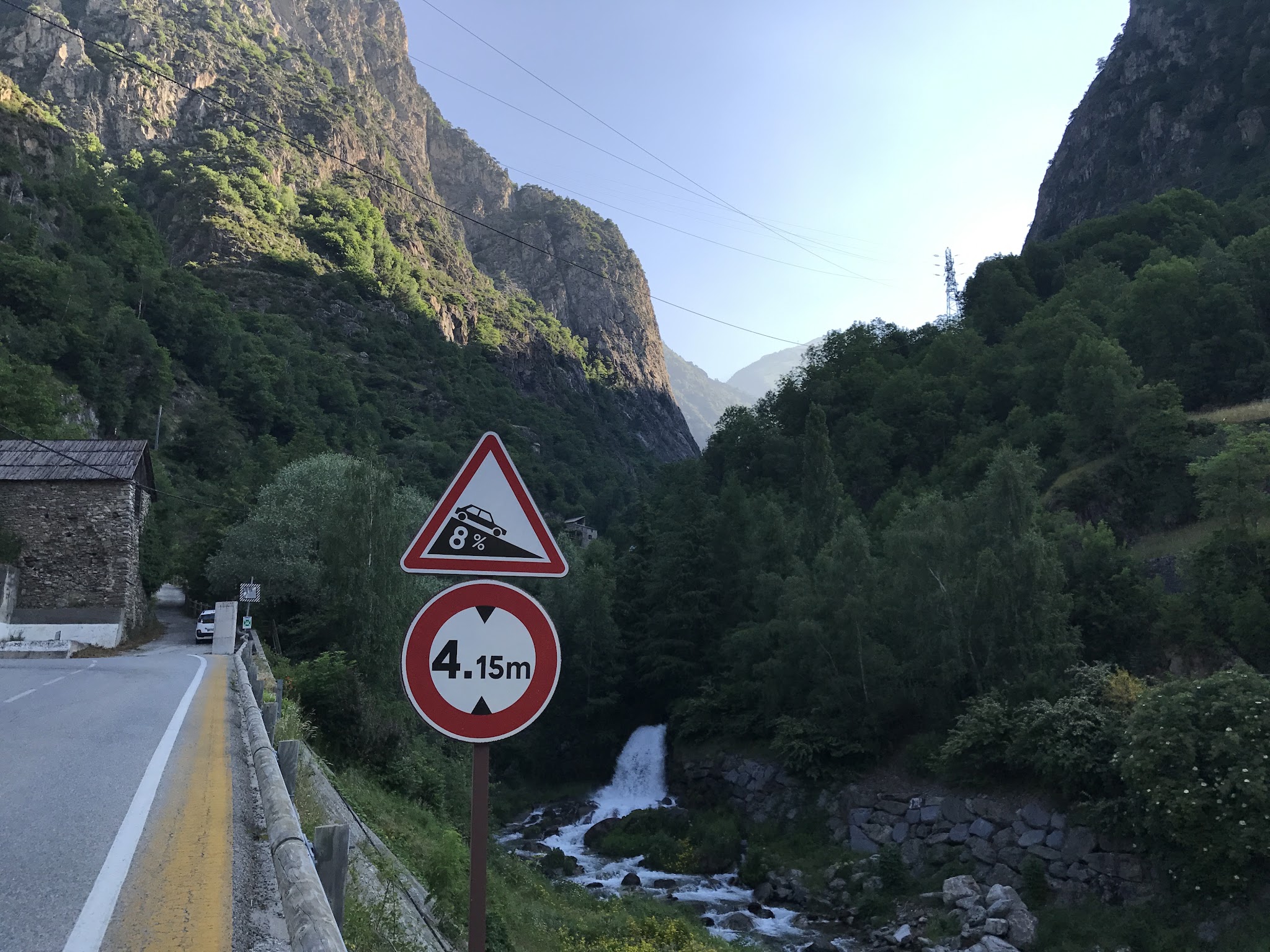
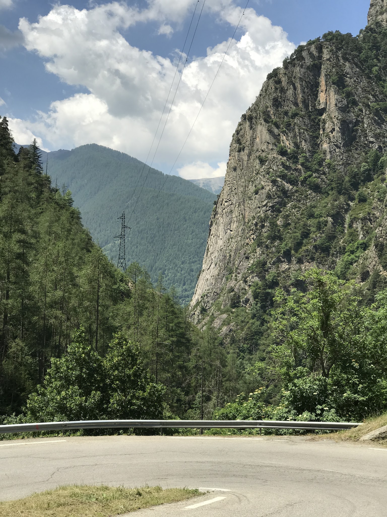
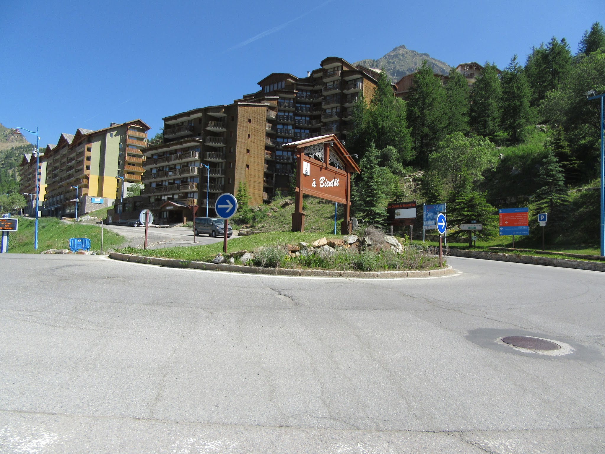
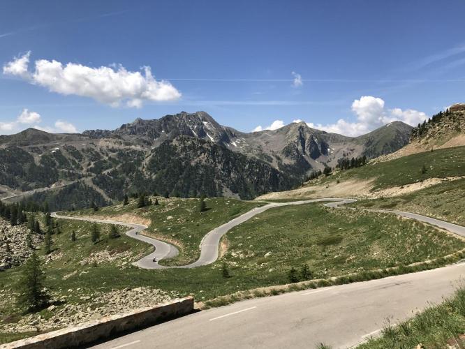
The road climbs through a narrow canyon out of Isola before reaching Isola 2000, a large ski resort about two-thirds of the way up that hosted the finish of stage 19 of the 2024 Tour de France - a shorter, lower version of this same road. Past the resort, trees give way to open alpine range land and increasingly big views down the valley and across to the peaks of Mercantour National Park.
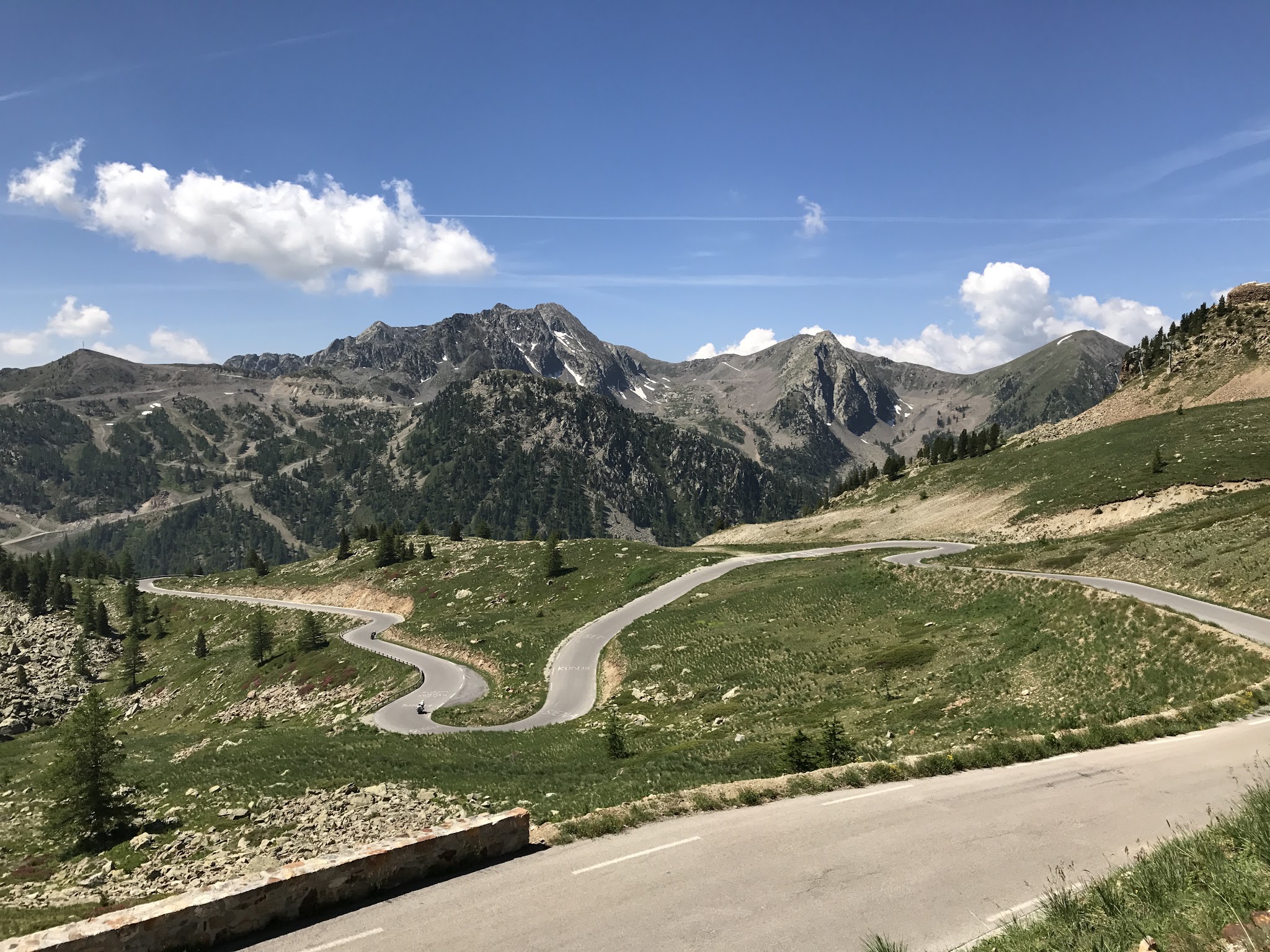
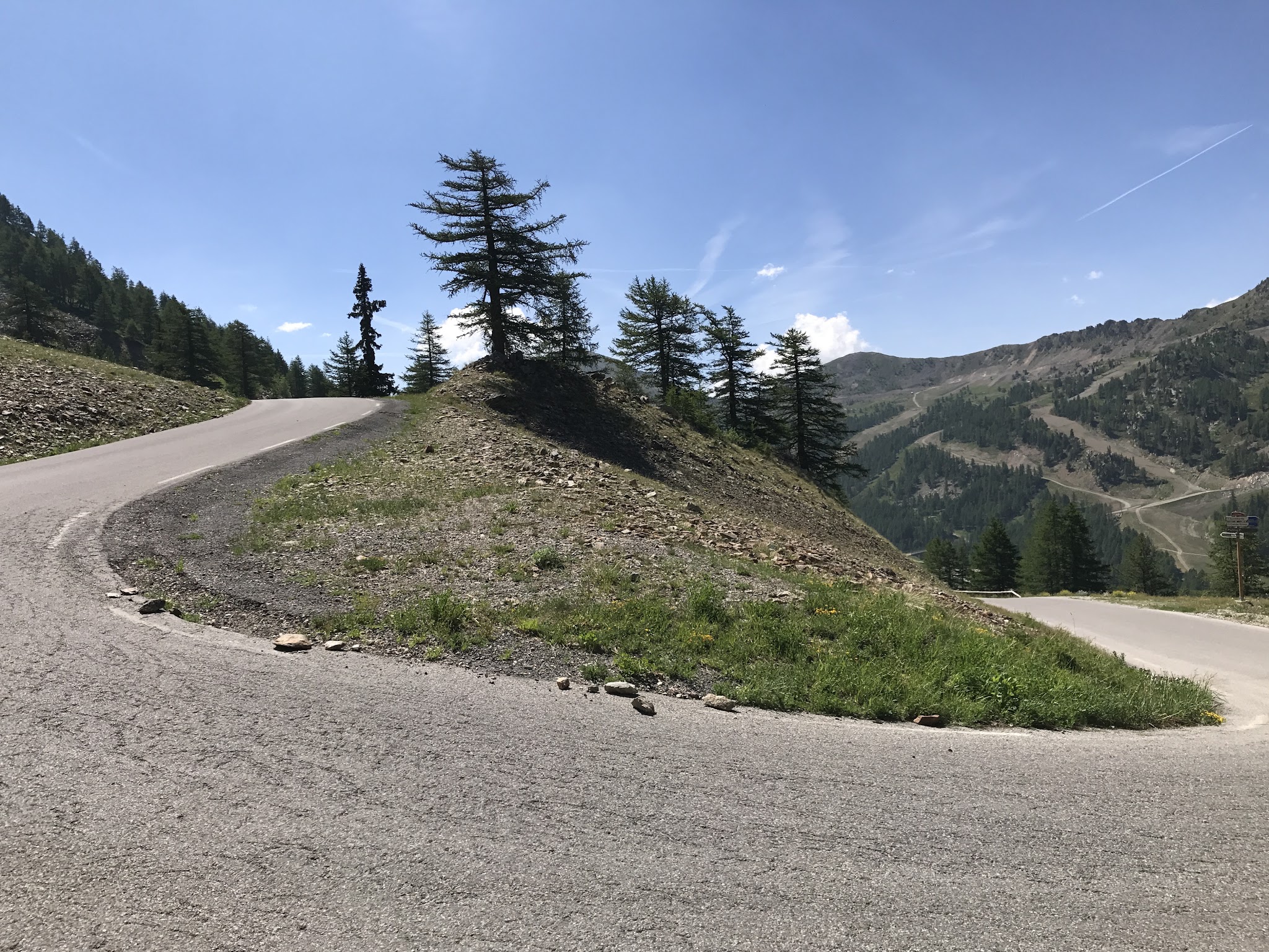
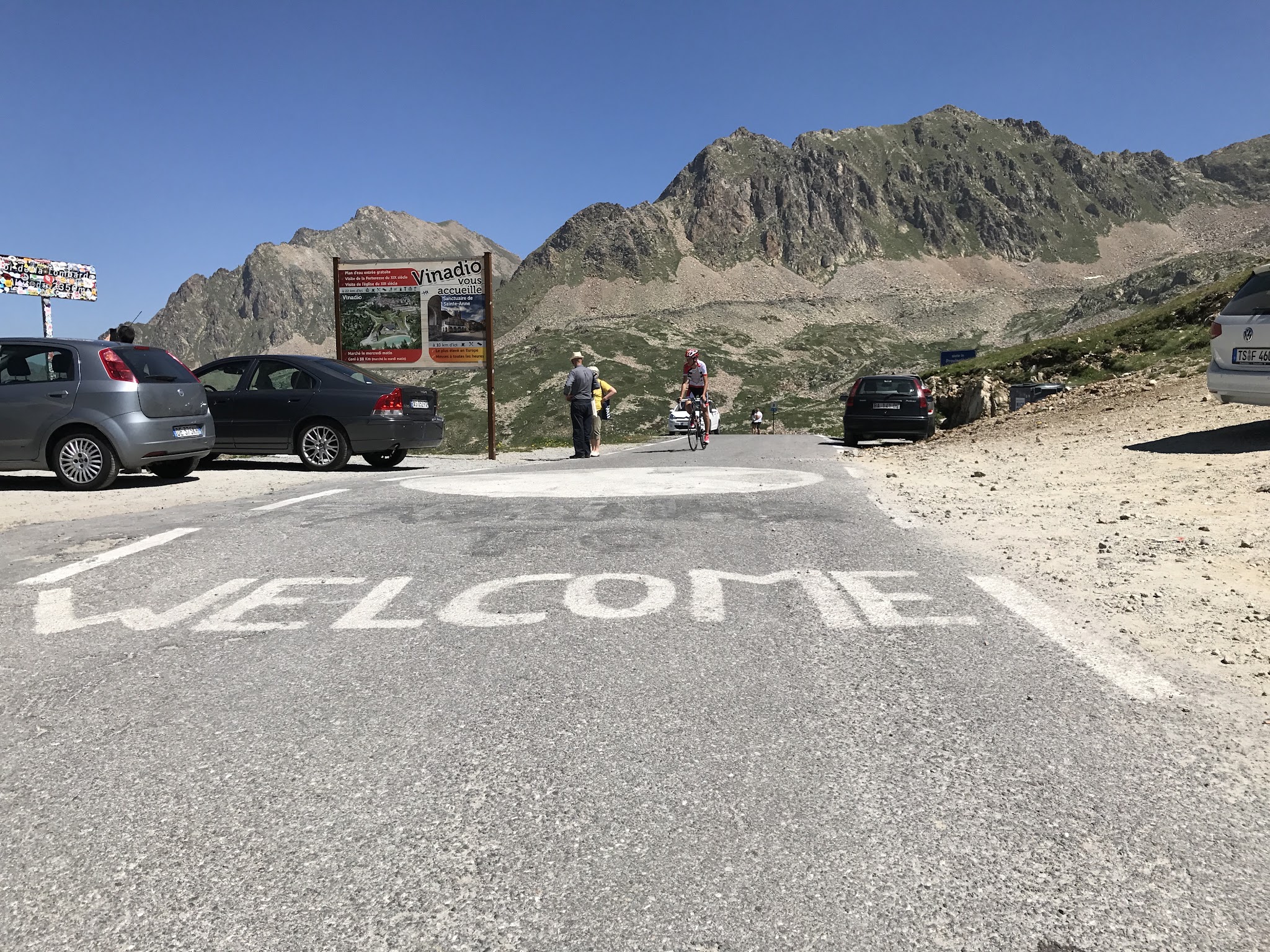
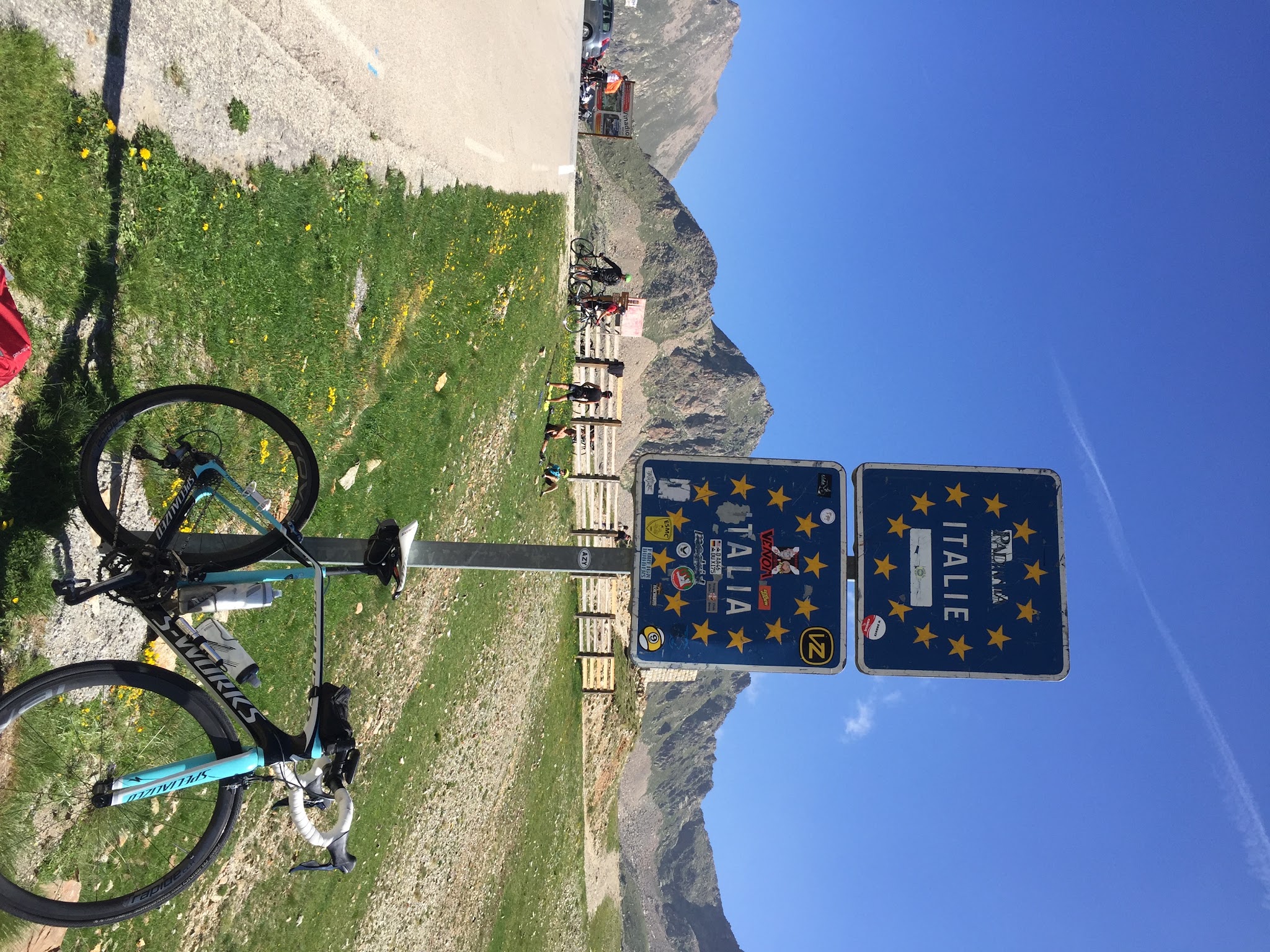
Above the tree line the road runs through open switchbacks with little shelter from wind or sun before a final push to the frontier marker at the pass, where it continues down the other side to Vinadio, Italy.
Like every high pass on this stretch of the France-Italy border, the road closes each winter under snow and reopens seasonally - it reopened for the 2026 season on May 23, in good condition with no reported construction.
PLAN YOUR ROUTE
 We've partnered with Sherpa-Map.com to bring you the best route planning tool. With a PRO Membership you can use this climb as a reference when creating your route.
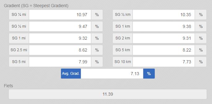
 Col de la Lombarde averages 7.1% over its 12.4 miles, but the climb rides in two distinct halves. The lower stretch out of Isola is the steepest of the whole route - the opening quarter-mile averages 10.9%, the first mile 9.3%, and the steepest 100 yards touches 12.0% - before the grade eases through the canyon.
Past Isola 2000 the road gentles out considerably for the long, open run to the pass, with the final five miles averaging closer to 8.0%. Expect a genuine alpine finish: at over 7,500 feet, temperatures at the col can be noticeably colder and windier than the start in Isola.
Roadway: The road (RM/D97) is paved and in good condition for its entire length, wide through the ski resort section and narrowing somewhat in the lower canyon below Isola 2000. Like every high pass on this stretch of the Franco-Italian border, it closes under snow each winter and reopens seasonally in late spring - it reopened for 2026 on May 23 with no reported construction or damage.
Traffic: Traffic is light overall and quietest above Isola 2000, but it picks up noticeably through the resort itself in summer, when day-trippers and hikers drive up for the lifts and mountain activities.
Parking: Isola, at the base of the climb, is a small village with informal street parking near the start on Place Jean Gaissa. Isola 2000, about two-thirds of the way up, has extensive resort parking if you'd rather start higher or split the climb into two shorter rides.
A standard road bike handles this climb fine - the pavement is good the whole way. Carry enough water and food for the full 12.4 miles and roughly 4,650 feet of gain; Isola 2000, about two-thirds of the way up, has cafes and shops if you need to restock, but there's nothing between the resort and the pass.
Pack a real jacket for the summit and descent - the col sits above 7,500 feet at an international border, and it's routinely much colder and windier up top than it is down in Isola.
Before heading out on any cycling adventure check out our Things to Bring on a Cycling Trip and use our interactive check list to ensure you don't forget anything.
Isola is a small Tinee Valley village with a handful of hotels and restaurants, and Isola 2000 above it adds a full ski-resort's worth of lodging and dining if you'd rather base higher up.
The road is normally open late May through October, closing under snow the rest of the year - check current status with the Isola town hall or Isola 2000's own road-info page before planning a trip near the shoulder seasons.
Riders looking for a bigger day can continue over the summit into Italy toward Vinadio, or use our Routes in the Area tool to see other Mercantour climbs nearby, including Cime de la Bonette and Col de la Couillole.
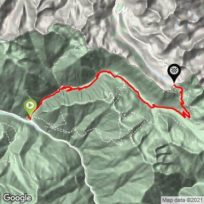
ROUTE MAP
MEMBER RATING
CURRENT WEATHER
PJAMM TRIPS ADVENTURE STARTER BUNDLES
Check out PJAMM Adventure's prepackaged (self-guided) cycling trips. They will help you plan, document and conquer your next adventure.
NEARBY CLIMBS (0) RADIAL PROXIMITY
FROM No Climbs Found
MEMBER REVIEWS & COMMENTS
Let us know what you thought of this climb. Signup for our FREE membership to write a review or post a comment.
Already have an account?
LOG IN HERE
carlinguernsey
Most of the work on this climb is in the first half and in the last few k. The best part of the climb for effort and for scenery is the last few k above Isola 2000. There is a nasty stretch of about 500 meters just after you leave the ski station, so keep something in reserve.