INTRO
PLAN YOUR ROUTE
 We've partnered with Sherpa-Map.com to bring you the best route planning tool. With a PRO Membership you can use this climb as a reference when creating your route.
 ROUTE MAP


 We've partnered with Sherpa-Map.com to bring you the best route planning tool. With a PRO Membership you can use this climb as a reference when creating your route.
Kidds Hill (The Wall)
Kidds Hill -- also referred to as The Wall -- is a brief, steep, and narrow climb located just south of Coleman’s Hatch, East Sussex County, England. Simon Warren’s #19 is a remote Southern England climb that has a double digit bite to it midway up. As with many of the Southeastern climbs on Simon’s Greatest 100 list, this one is bordered by trees most of the way which limit any distant views we would otherwise have.
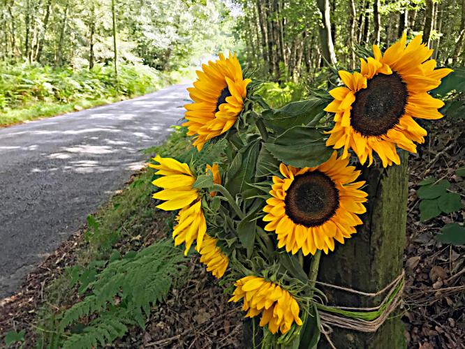
A shady, peaceful climb.
We do break out of the forest for the last 250 meters of the climb, affording us views of the surrounding meadows and the outskirts of the small communities of Chuck Hatch and Newbridge to the northwest.
Out of the trees and into the countryside.
As with most of the Top 100, the roadway surface is excellent. While the road is narrow with no bike lane or shoulder, there is very little traffic to contend with, making this a very safe ride. Gills Lap Car Park, with access to the Vanguard Way Hiking Trail, is at the finish of the climb.
This climb is known locally as “The Wall” -- a nickname that makes the task of climbing it seem quite daunting. CyclingUphill.com suggests that the name has to do with the fact that the road “appears dead straight, so from the bottom you just see the hill looming in front of you” (Cycling Uphill) giving prospective riders the sense that the road just never ends. RoadCyclingUK.com notes that this nickname is an indication of just how tough of a climb it is: “At 1.5km in length, it’s one of the longest climbs in our list, and at 8% average it’s take no prisoners for its entire length.” The gradient on this climb starts right at the bottom, and only gets harder as you continue climbing, “reaching a peak of 16% at the 1 kilometer mark” and then easing slightly, finishing off with a 4% grade for the last 250 meters. While you’re on this ride, treat yourself by doing the “loop to take in the Ashdown Forest, because at the top you’ll be afforded with great views of the woodland, before descending down towards Maresfield for a mid-ride coffee and pastry.” (RoadCyclingUK.com).
Steepest ½ kilometer begins at 600 meters (10.7%).
This climb is in the southern portion of High Weald Area of Outstanding Natural Beauty, which covers an area of 1,450 square kilometres (560 sq mi), and “extends across the counties of Surrey, West Sussex, East Sussex and Kent. It is the fourth largest Area of Outstanding Beauty (AONB) in England and Wales. It is characterised by an attractive, small-scale landscape containing a mosaic of small farms and woodlands, historic parks, sunken lanes and ridge-top villages” (Wikipedia - High Weald Area of Outstanding Natural Beauty).