29.4
PDI
12.8 mi
DISTANCE
4,686 ft
GAINED
6.9 %
AVG. GRADE
FULL CLIMB STATS
INTRO
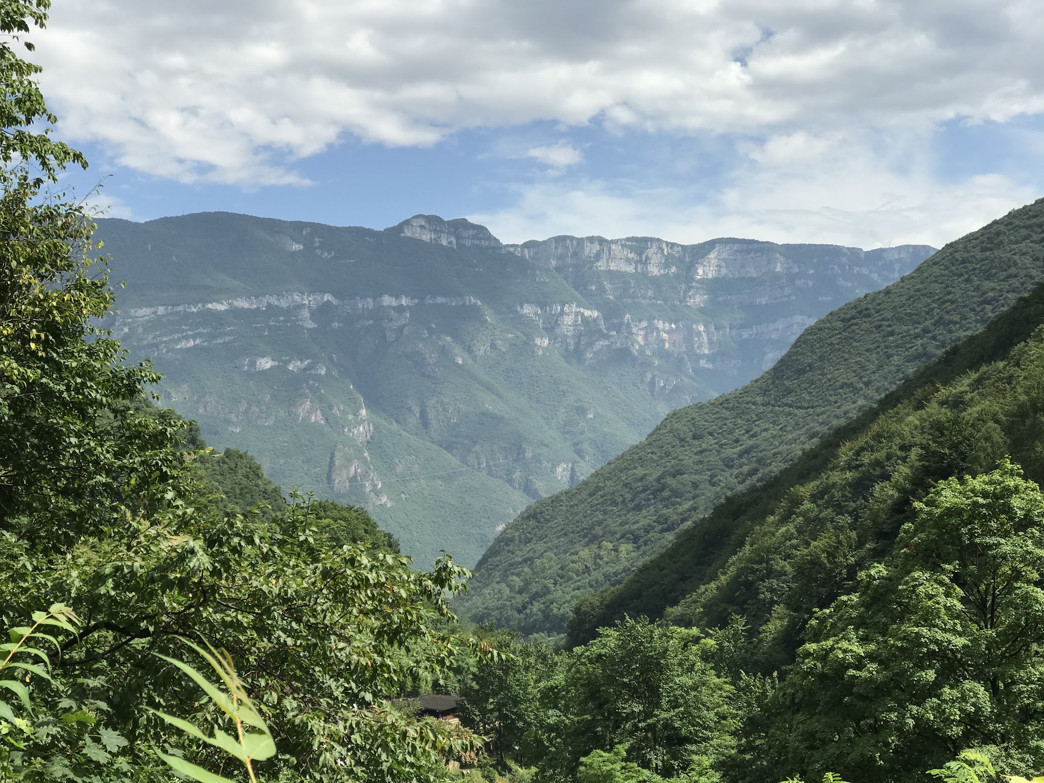
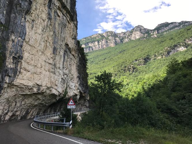
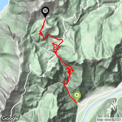
Passo San Valentino is a long, rugged ascent from Avio in Italy's Trentino-Alto Adige, climbing 20.6 km (12.8 mi) and gaining 1,428 m (4,686 ft) at a 6.9% average grade on the western flank of Monte Baldo above Lake Garda. It climbs from 155 m (510 ft) in Avio to a finish above 1,566 m (5,138 ft) near Lago di Pra da Stua, beyond the actual San Valentino pass.
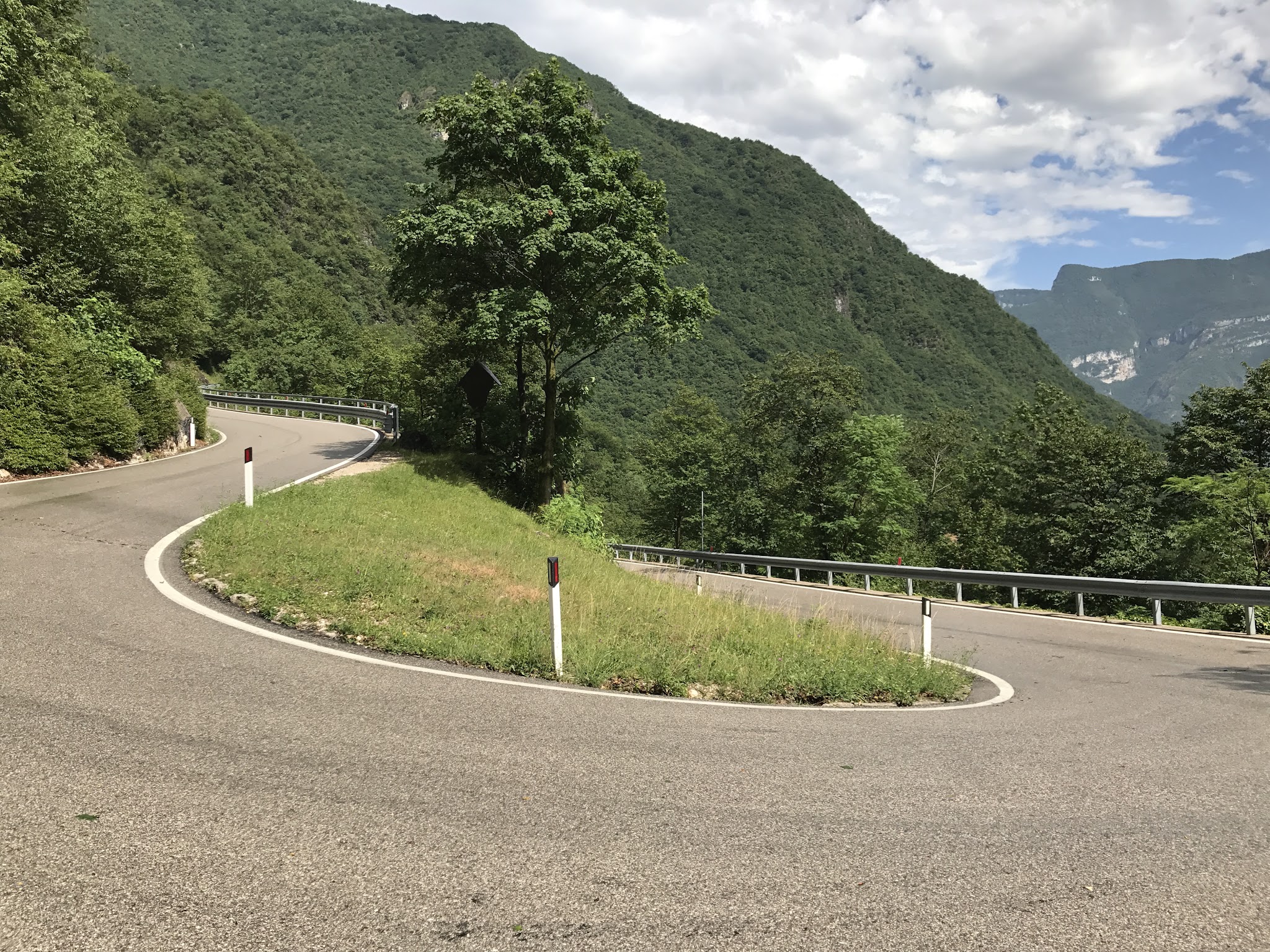
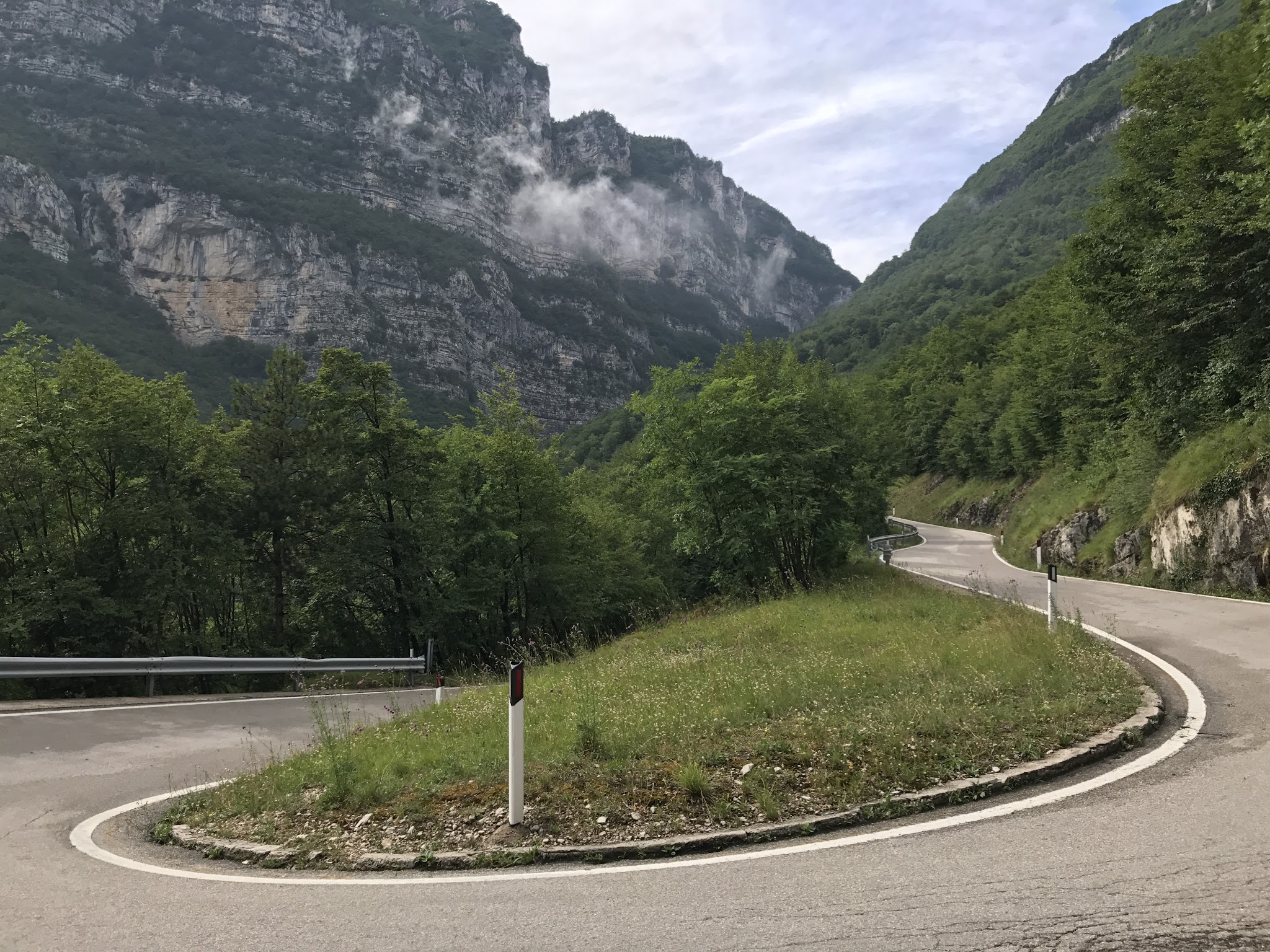
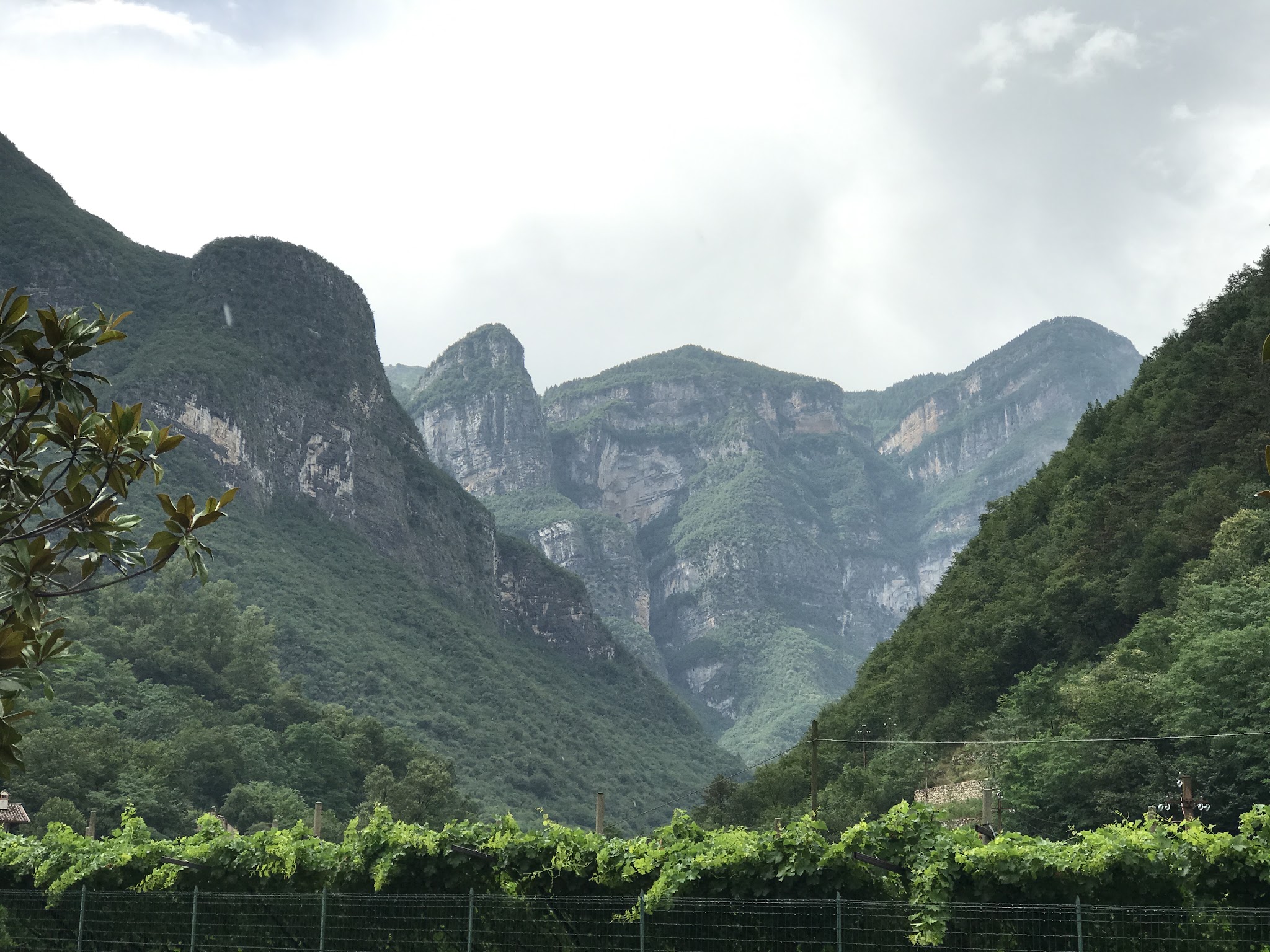
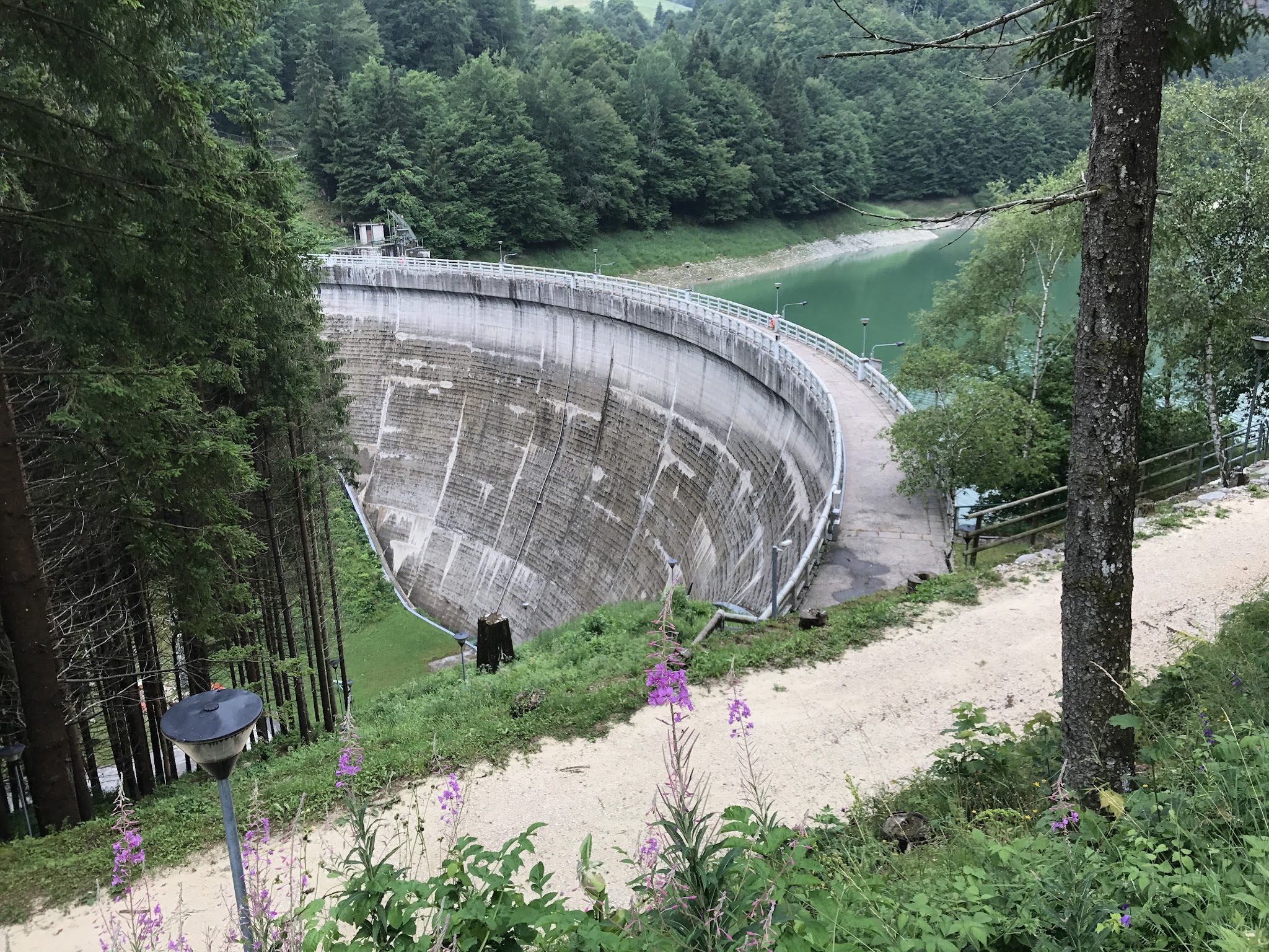
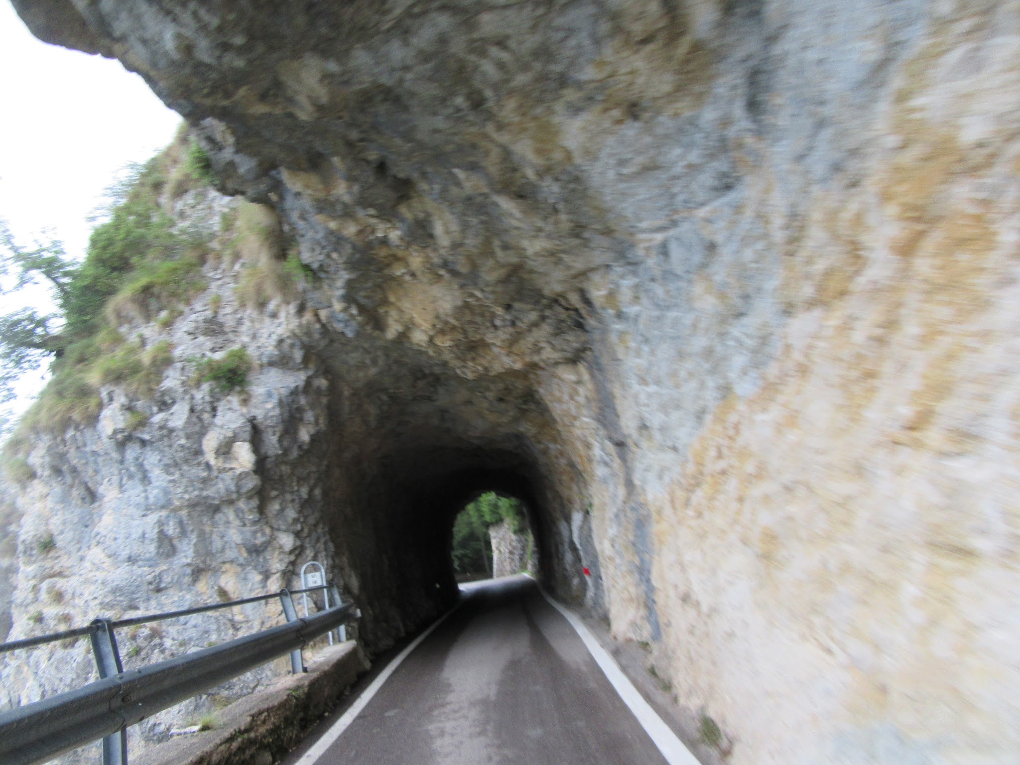
One of several exceptionally steep Lake Garda-area climbs, Passo San Valentino ranks among the toughest - #352 in the world. The road winds through roughly 26 hairpins cut into rugged limestone cliffs, with a brief stretch of rock tunnels near the top; its sheer, colorful rock faces have earned it a reputation online as the "Little Stelvio." Traffic is light and the setting remote - most of the climb sits above an unpopulated stretch of the Vallagarina valley.
The Giro d'Italia added this as a first-category climb on Stage 17 in 2021 (Canazei to Sega di Ala, won by Dan Martin). The road (SP 208) shut for nearly two months in late 2025 after a landslide tied to a hydroelectric channel damaged the roadbed in three places; it reopened that November following repairs, but riders should check current conditions before heading out given the terrain's history of rockfall.
PLAN YOUR ROUTE
 We've partnered with Sherpa-Map.com to bring you the best route planning tool. With a PRO Membership you can use this climb as a reference when creating your route.
 Passo San Valentino averages 6.9% over its 20.6 km (12.8 mi), but that number hides a lot of variation. After a punchy opening out of Avio, the road settles into a long, moderate midsection before its hardest test: the steepest kilometer averages 9.8%, and the steepest 100 yards hits 11.4%. The steepest mile averages 9.2%, the steepest 5 km 8.6%, and the steepest 10 km 8.1% - riders face sustained, demanding grades for long stretches here, not just a single sharp pitch. The final few kilometers past San Valentino toward the Lago di Pra da Stua finish ease off noticeably, giving tired legs a break after the sustained climbing below. Total elevation gain is 1,428 m (4,686 ft), with just 18 m (58 ft) of descent along the way, over roughly 26 hairpins.
Roadway: The SP 208 is paved the entire way from Avio to the Lago di Pra da Stua finish, and the surface has generally been reported in good condition. The road was closed for nearly two months in late 2025 (October 2 to November 28) after a landslide tied to a hydroelectric channel eroded the roadbed at three separate points below the surrounding cliffs; the province rebuilt the affected sections with steel gabions and slope reinforcement before reopening it. Given the terrain's history of rockfall, check the Provincia di Trento's road-status bulletins before you go.
Traffic: Traffic is light for nearly the entire climb - this is a quiet, lightly-traveled provincial road through a mostly unpopulated stretch of the Vallagarina valley. The exception is near the top, around the San Valentino resort area, where weekend day-trippers and hikers heading to Lago di Pra da Stua add some car traffic in summer.
Parking: Avio is a small town and on-street parking is generally easy to find near the start. Many riders park for free near the Avio cemetery, a short pedal from where the climb turns onto SP 208, rather than trying to find something closer to the town center.
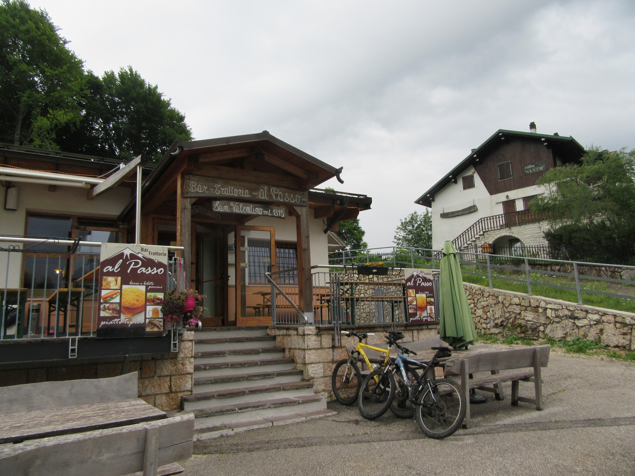
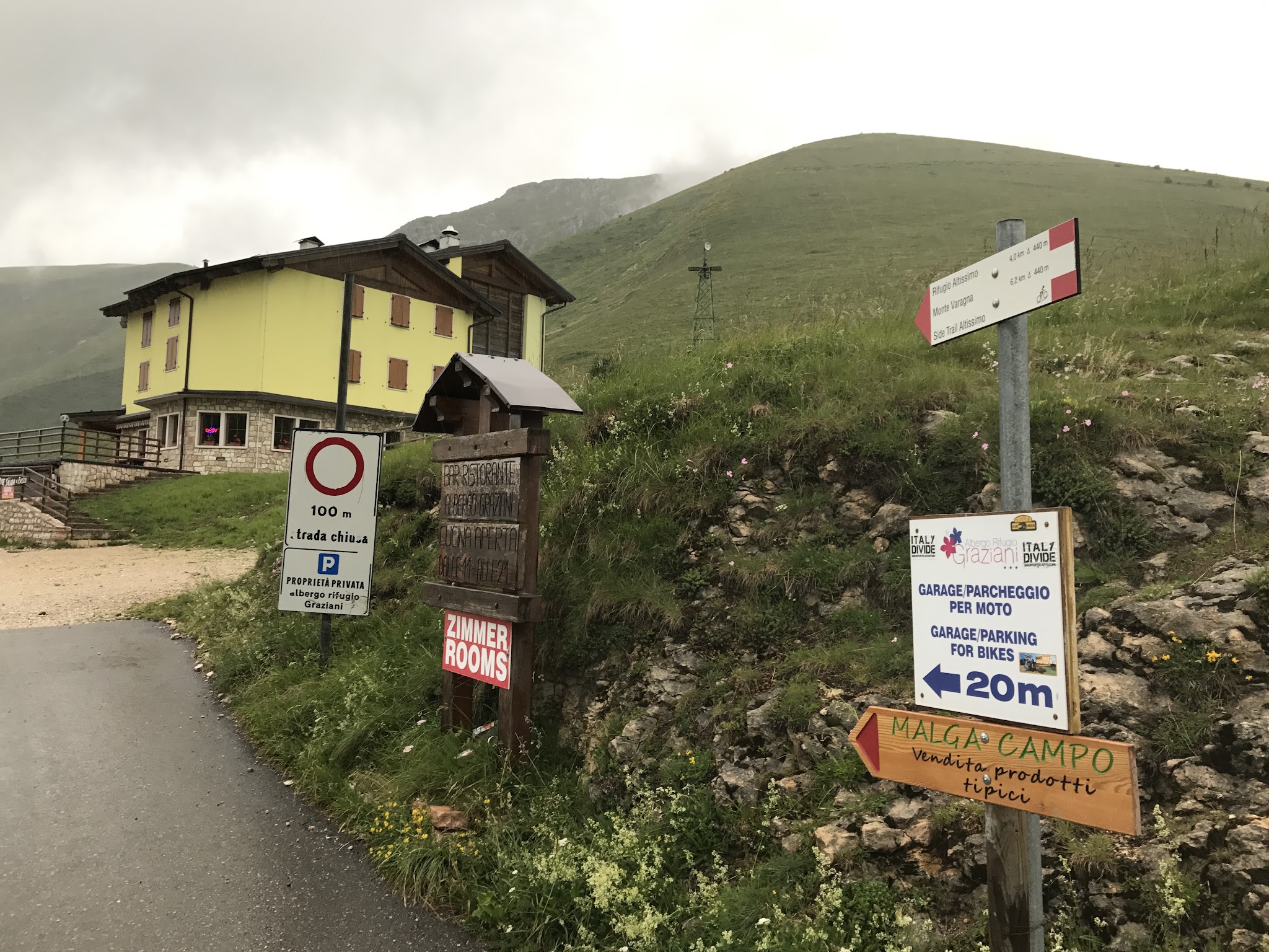
There's nothing in the way of services for the first several miles out of Avio, so fill bottles before you start. Near the finish, San Valentino's small cluster of restaurants and a rifugio-style bar/trattoria near Lago di Pra da Stua offer food and drinks in season - a welcome stop given the remoteness of the rest of the climb. Pack layers even in summer: the finish sits above 1,500 m (4,900 ft) and temperatures at the reservoir can be noticeably cooler and windier than in Avio. Given the sustained grades through the steepest kilometer, a wide-range cassette is worth having.
Before heading out on any cycling adventure check out our Things to Bring on a Cycling Trip and use our interactive check list to ensure you don't forget anything.
Avio sits in the Vallagarina, at the southern tip of Trentino near the border with Veneto, and makes a quieter base than the busier towns directly on Lake Garda - Rovereto is about 20 minutes north by car and has more hotel and restaurant options if Avio's small-town amenities are too limited for a longer stay. The climb is best ridden in the warmer months; San Valentino is a modest winter ski area, so the upper road can hold snow and ice well into spring. If you want to see more of what this stretch of Trentino offers on two wheels, our Routes in the Area tool can help you find and combine nearby climbs into a longer day.
ROUTE MAP
MEMBER RATING
CURRENT WEATHER
PJAMM TRIPS ADVENTURE STARTER BUNDLES
Check out PJAMM Adventure's prepackaged (self-guided) cycling trips. They will help you plan, document and conquer your next adventure.
NEARBY CLIMBS (0) RADIAL PROXIMITY
FROM No Climbs Found
MEMBER REVIEWS & COMMENTS
Let us know what you thought of this climb. Signup for our FREE membership to write a review or post a comment.
Already have an account?
LOG IN HERE