18.1
PDI
13.7 mi
DISTANCE
3,544 ft
GAINED
4.9 %
AVG. GRADE
FULL CLIMB STATS
INTRO
Mont Ventoux from Sault climbs 22.0 km (13.7 mi), gaining 1080 m (3,544 ft) at a 4.9% average grade, from the edge of Sault to the 1910 m (6,266 ft) summit of the Giant of Provence. It's the least difficult of the three paved routes up Ventoux - the Bédoin and Malaucène sides both average more than 7% - but it still finishes with the mountain's crux: the final 6 km (3.7 mi) from Chalet Reynard to the top, averaging 7.6% across the bare white limestone.
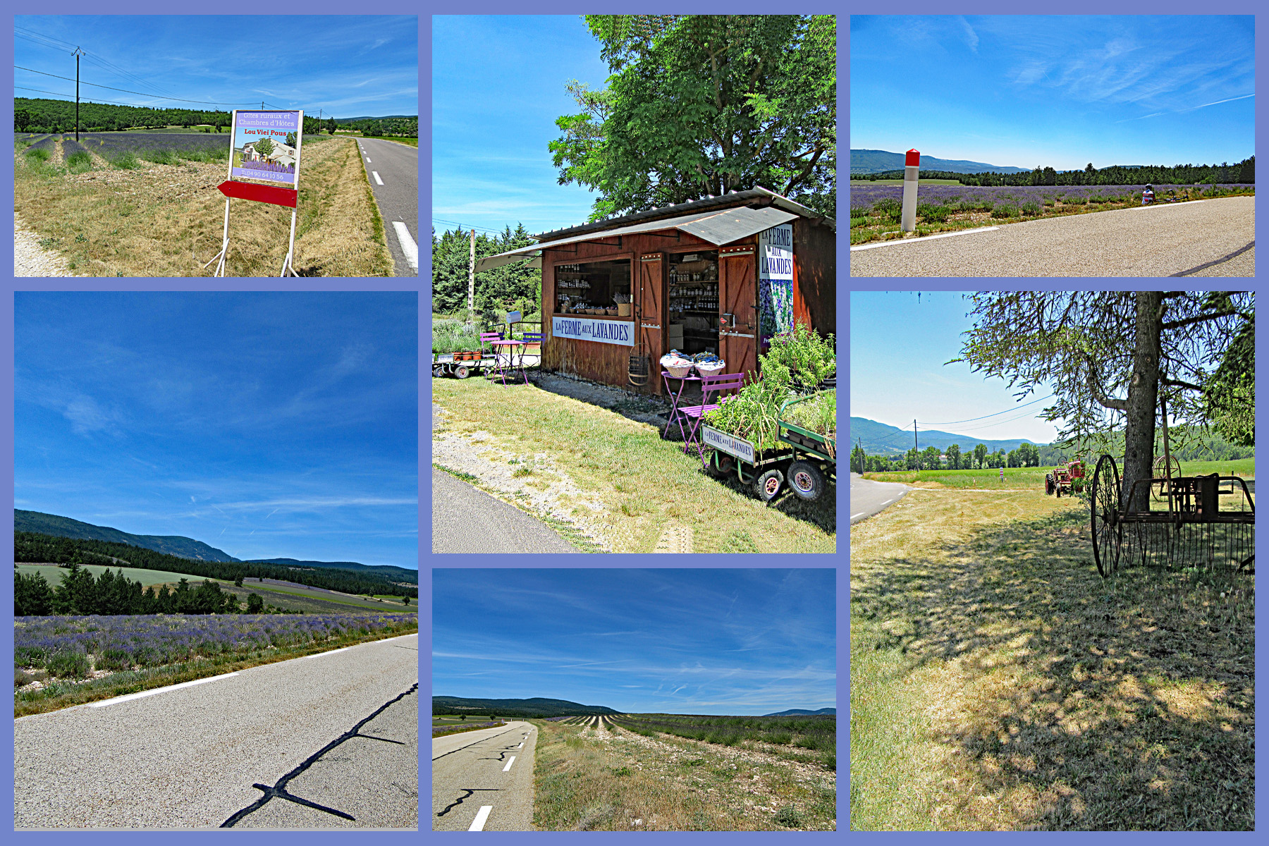
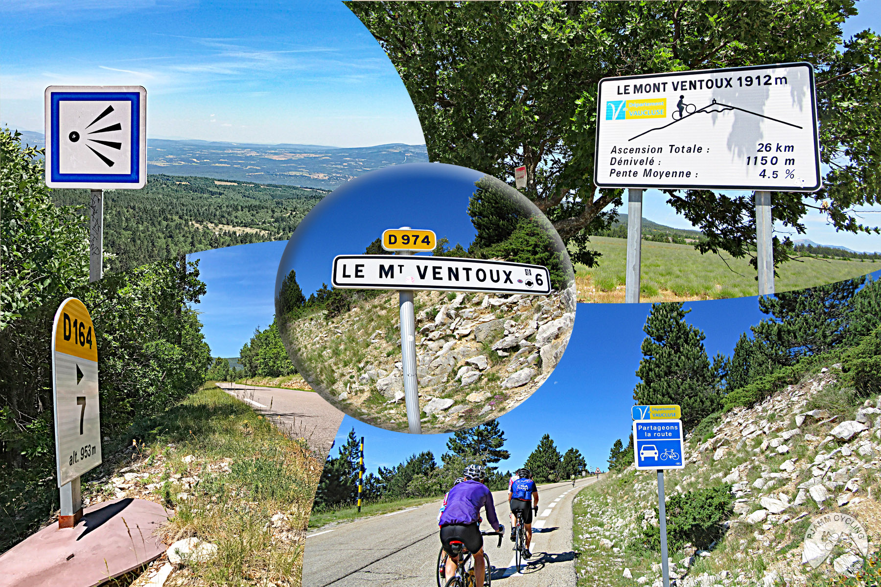
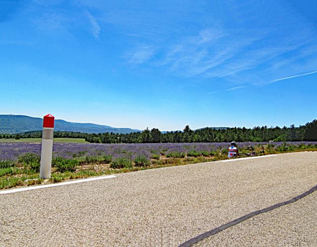
What sets this side apart is the first half. The opening kilometers out of Sault run past the lavender and grain fields of the Plateau de Sault - in bloom from early July into early August - before the D164 climbs into forest. Around km 9 (5.6 mi) the grade relaxes to an average of 2.4% for 7 km (4.3 mi), a long, quiet breather that makes this the gentlest way onto the mountain. It's also the least crowded of the paved routes: of roughly 156,000 cyclist passages counted on Ventoux in 2021, about 30% came up from Sault, against more than half from Bédoin.
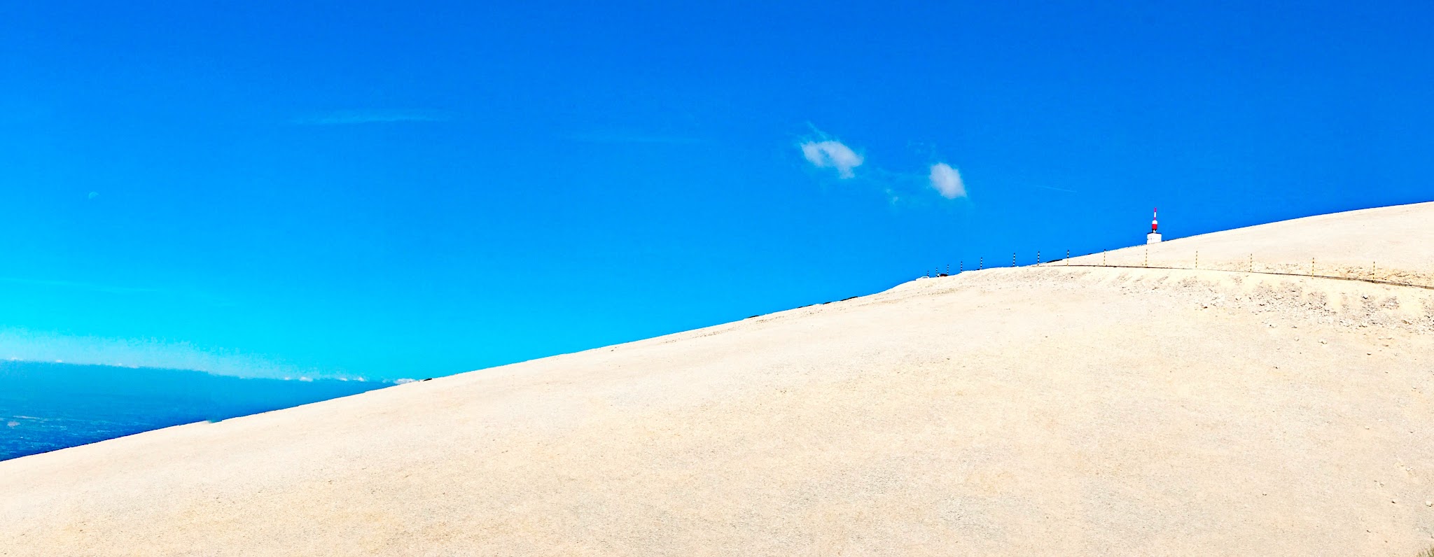
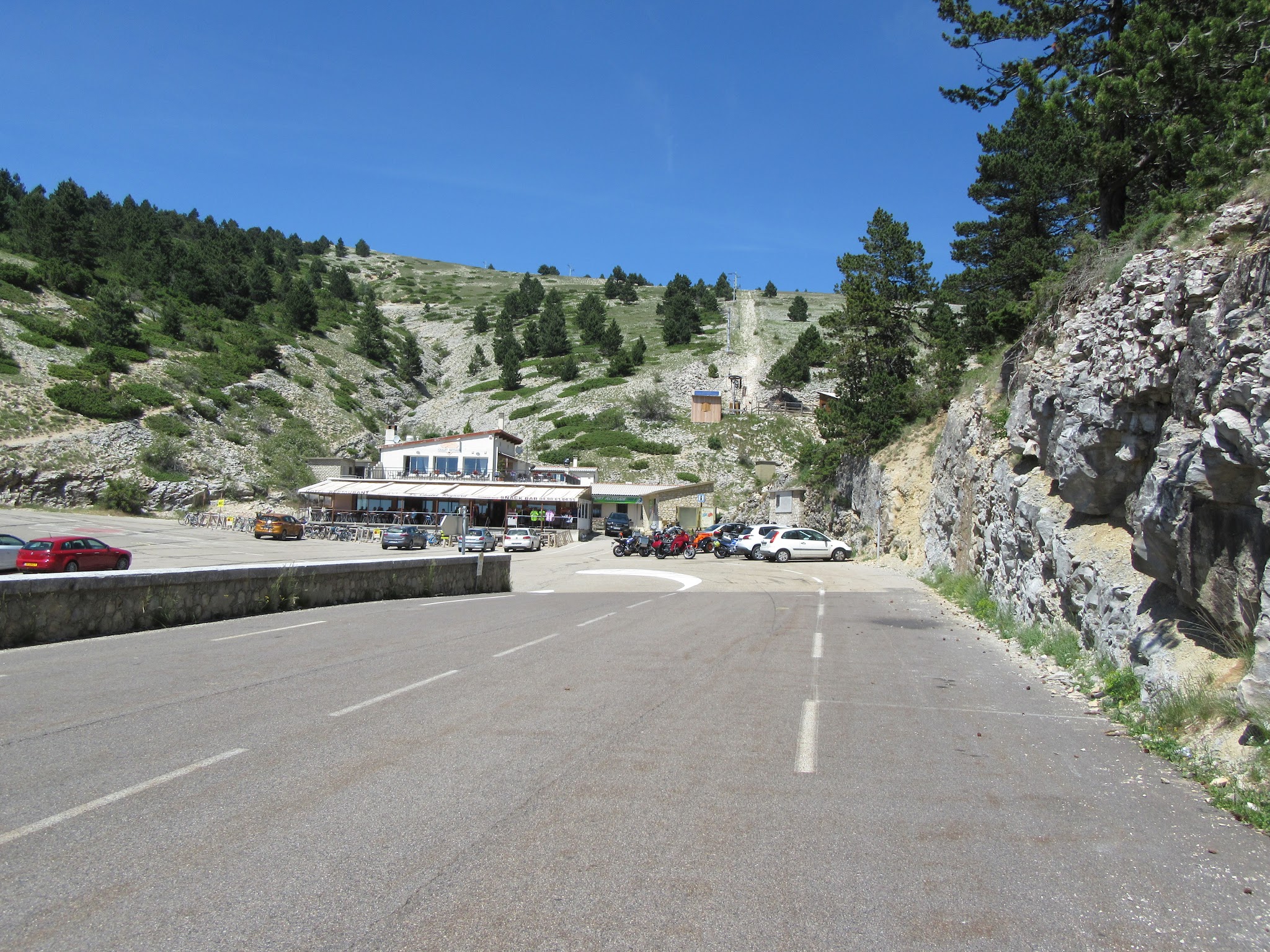
Everything changes at Chalet Reynard, where the Sault and Bédoin roads meet. Above the trees the road is fully exposed, past the Tom Simpson memorial to the observatory tower at the summit. The Tour de France has used this side too: in 2021, Stage 11 climbed Ventoux twice, first from Sault and then from Bédoin, and Julian Alaphilippe was first over the top on the Sault ascent. See our Tour de France page for more on the race's great climbs.
The road above Chalet Reynard is closed to all traffic, bikes included, from around mid-November until spring - in 2026 the southern barrier lifted on April 17 - and strong winds can close the summit at any time. Check current conditions before you go with our Weather tool.
PLAN YOUR ROUTE
 We've partnered with Sherpa-Map.com to bring you the best route planning tool. With a PRO Membership you can use this climb as a reference when creating your route.
From Sault, Mont Ventoux climbs 22.0 km (13.7 mi) at an average of 4.9%, but that average hides three very different sections.
The first 9 km (5.6 mi) climb steadily through fields and forest at about 5.1%, with every kilometer between 4.2% and 5.8%.
From km 9 to Chalet Reynard at about km 16 (9.9 mi), the road nearly levels out, averaging 2.4% for 7 km (4.3 mi), with a couple of kilometers barely above 1.0%.
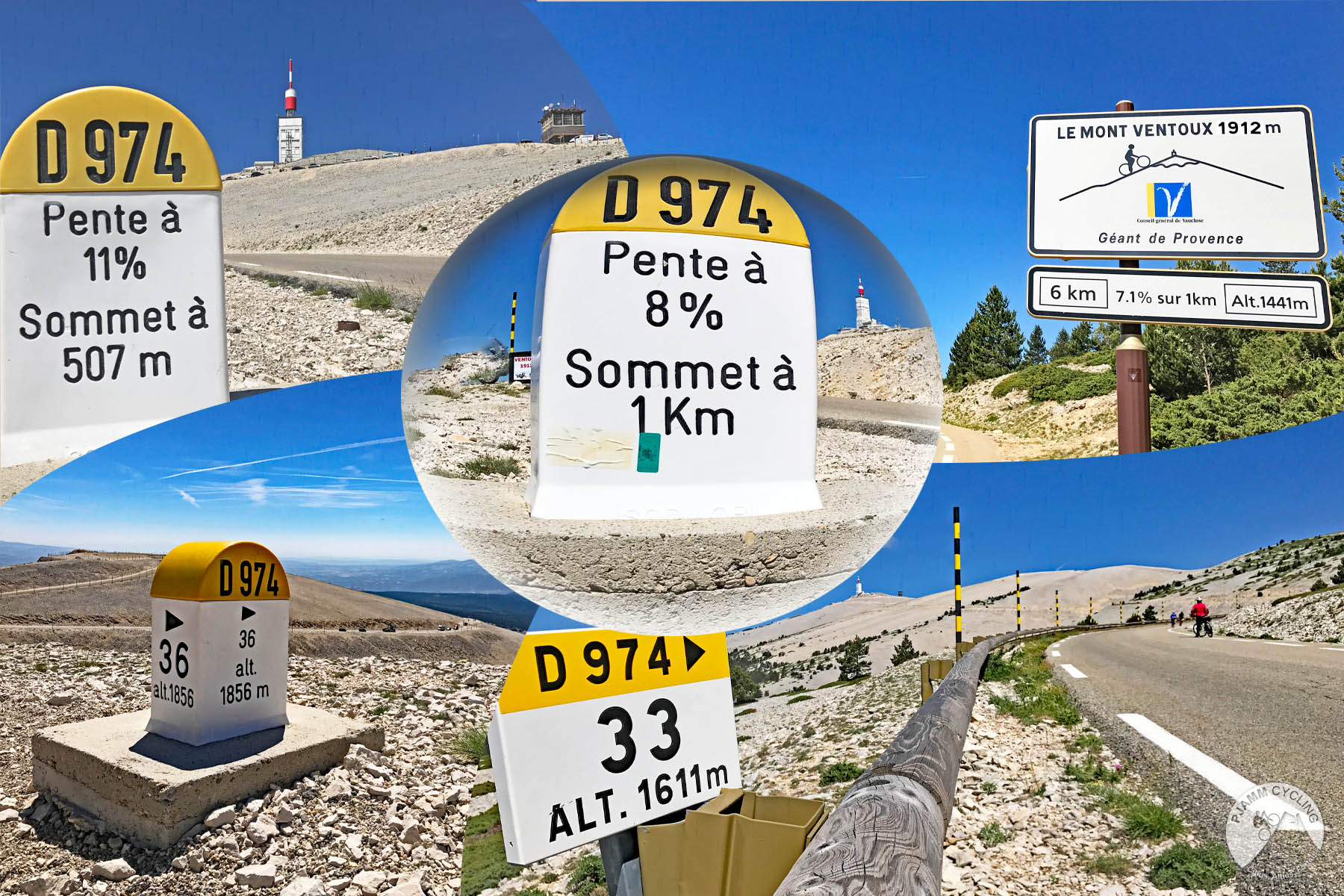
The final 6 km (3.7 mi) from Chalet Reynard to the summit are the real climb, averaging 7.6% and steepening as you go. The steepest kilometer averages 10.0% and comes inside the last 1.5 km (0.9 mi), with a 0.5 km (0.3 mi) stretch at 10.1%.
Roadway: Paved the entire way and in good condition. The D164 from Sault to Chalet Reynard is a quiet two-lane road with no kilometer markers or roadside barriers for most of its length. Above Chalet Reynard, the D974 is the famous summit road - well maintained, but fully exposed and often extremely windy. This upper section is gated from around mid-November until mid-April (the 2026 season reopened April 17), closed to bikes as well as cars, and it can also close temporarily for high winds or for events such as the Tour de France.
Traffic: Light on the D164 out of Sault - this side carries far fewer cars and cyclists than the Bédoin road. Expect much busier conditions above Chalet Reynard, where the Bédoin traffic joins and summer days bring a steady stream of cars, motorcycles and riders to the summit.
Parking: Sault is the natural base for this side - park in the village and ride the short way to the start on the D164 just over the Nesque bridge. The large paid area on the Route de Saint-Trinit is a motorhome park rather than general parking, so look for a spot in the village itself.
Provisions: Fill up in Sault - there's no water or café between the village and Chalet Reynard, about 16 km (9.9 mi) in. Chalet Reynard is the classic refuel stop where the two routes merge (our Mont Ventoux (Bedoin) page covers it and the summit restaurants), and there's a water fountain near the Tom Simpson memorial on the final stretch.
Gear: The gentle grades suit any compact gearing, but save something for the last 6 km (3.7 mi). Pack a windproof layer and arm warmers even in midsummer - the summit is more than 1,100 m (3,609 ft) above Sault and frequently battered by strong winds - and take the descent above Chalet Reynard carefully in gusty conditions.
Before heading out on any cycling adventure check out our Things to Bring on a Cycling Trip and use our interactive check list to ensure you don't forget anything.
Sault sits on a rocky promontory above its lavender plateau, and it's worth slowing down for. The Wednesday morning market has been held since 1515, and the Maison Boyer has been making nougat in the village since 1887. If you want to time your trip around the lavender, the fields are usually at their best in the first half of July, before the harvest, and the village celebrates with its Fête de la Lavande every August 15.
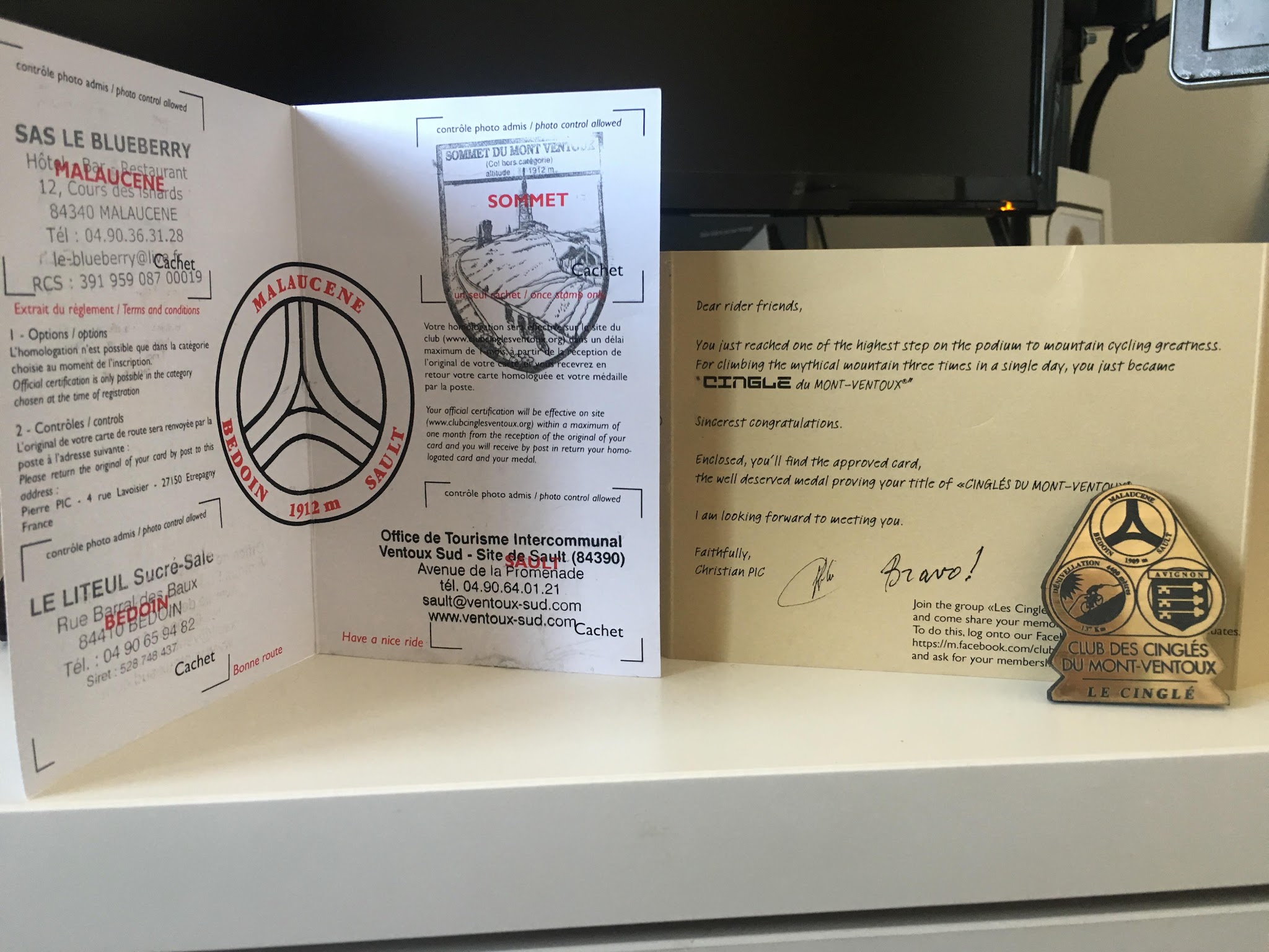
For a cyclist-focused place to stay, Le Nesk is a hotel and group lodge in Sault's former village hospital, overlooking the lavender and wheat fields, with a 45-space secure bike room, a repair workshop, the L'étape du Ventoux restaurant and a vintage lounge full of collectible bicycles; it's open from mid-April to mid-October. If the wind is closing the summit, the Gorges de la Nesque road from Sault makes a scenic, gentler alternative. And if you're aiming for the Club des Cinglés du Mont-Ventoux badge, our Mont Ventoux (Malaucène) page has the details - Sault is the most forgiving of the three ascents.
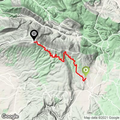
ROUTE MAP
MEMBER RATING
CURRENT WEATHER
PJAMM TRIPS ADVENTURE STARTER BUNDLES
Check out PJAMM Adventure's prepackaged (self-guided) cycling trips. They will help you plan, document and conquer your next adventure.
NEARBY CLIMBS (0) RADIAL PROXIMITY
FROM No Climbs Found
MEMBER REVIEWS & COMMENTS
Let us know what you thought of this climb. Signup for our FREE membership to write a review or post a comment.
Already have an account?
LOG IN HERE
MethowBiker
Local cyclists strongly encouraged me not to do this climb on a weekend. Lots of “motards”, you see signs in the local villages about them. Social media sucks, as this is featured in must do for moto groups too. Go midweek. There are other climbs in the area just as nice, but without the crowds. I’m not mentioning names. Just do a search of other local climbs and you’ll find them.