17.3
PDI
7.3 mi
DISTANCE
2,705 ft
GAINED
7.1 %
AVG. GRADE
FULL CLIMB STATS
INTRO
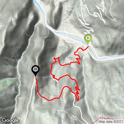
Most people ride the Télégraphe on the way to something bigger. It's the first half of the longest cycling climb in France, and the Galibier waits on the far side of Valloire. Ridden for itself, though, it's a fine climb: 11.7 km (7.3 mi) from Saint-Michel-de-Maurienne at a 7.1% average, almost all of it in the trees, with a rhythm you can settle into and hold.
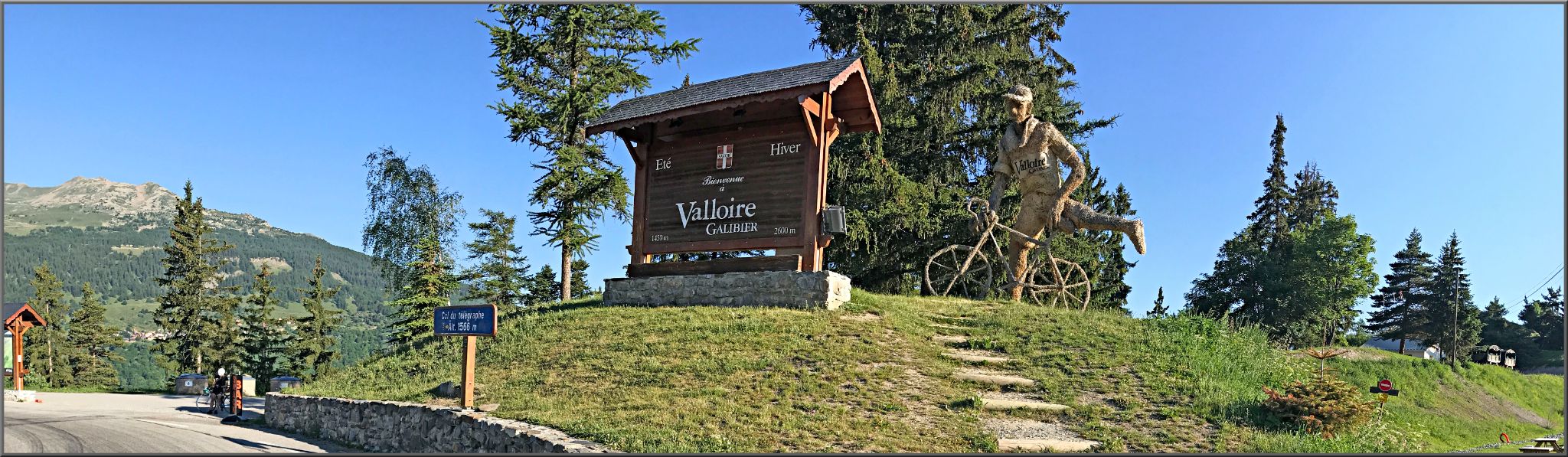
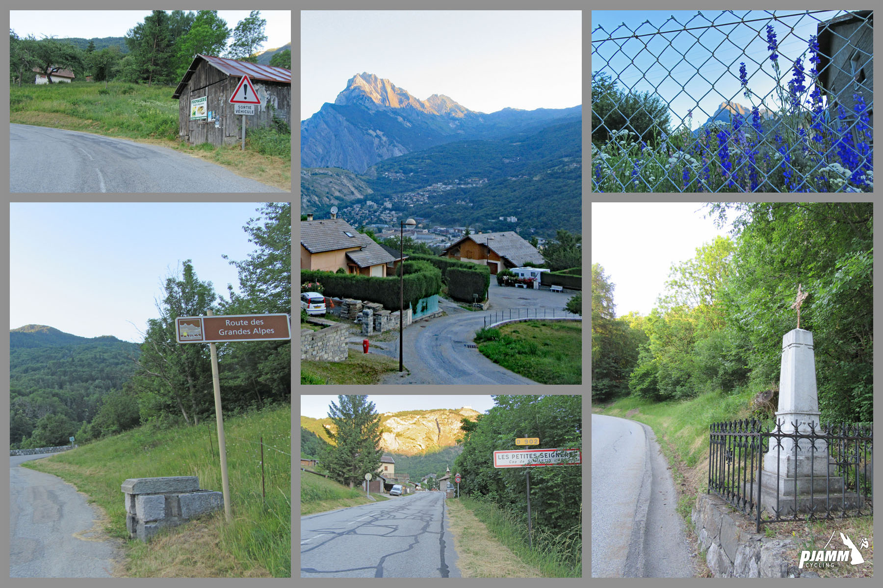
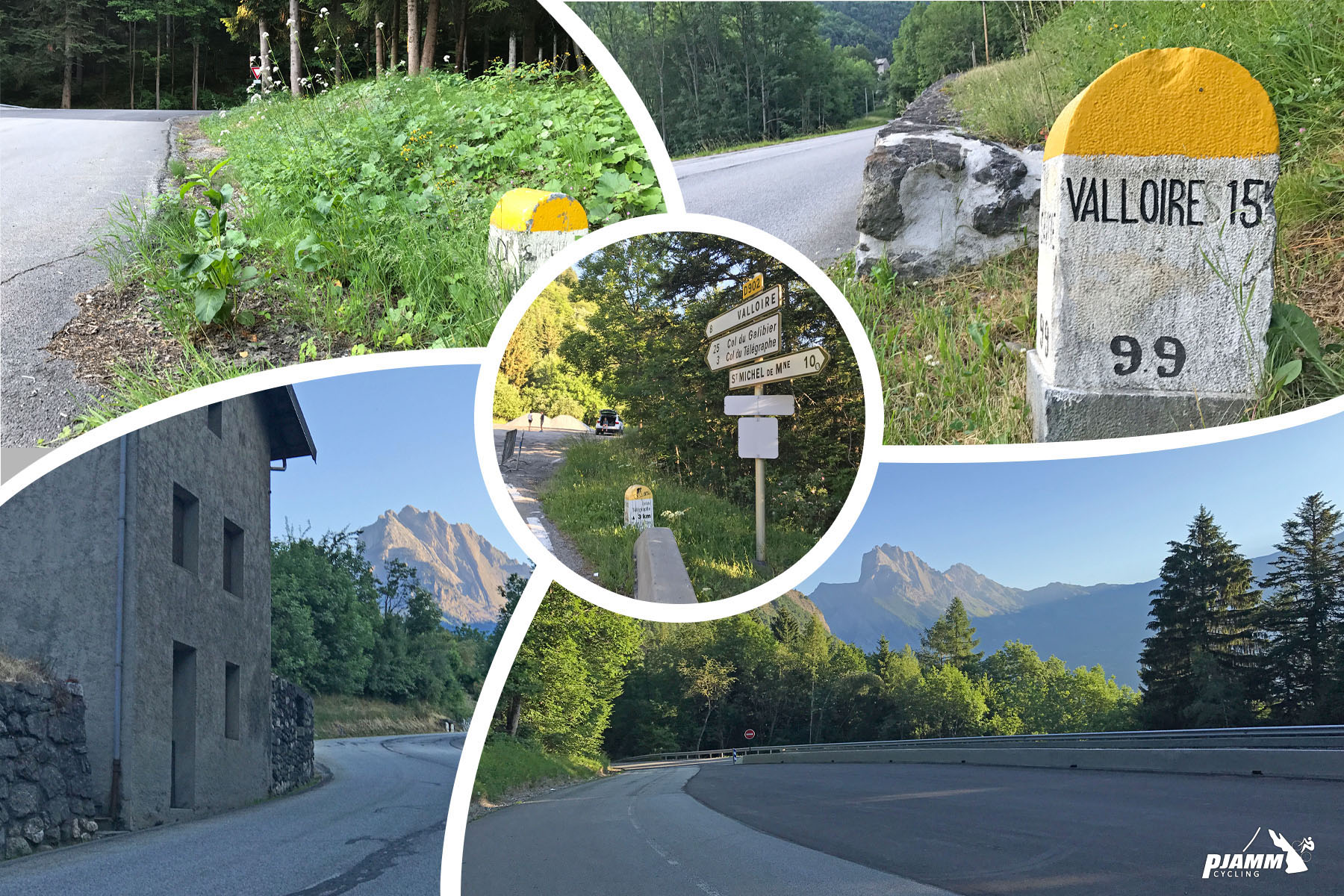
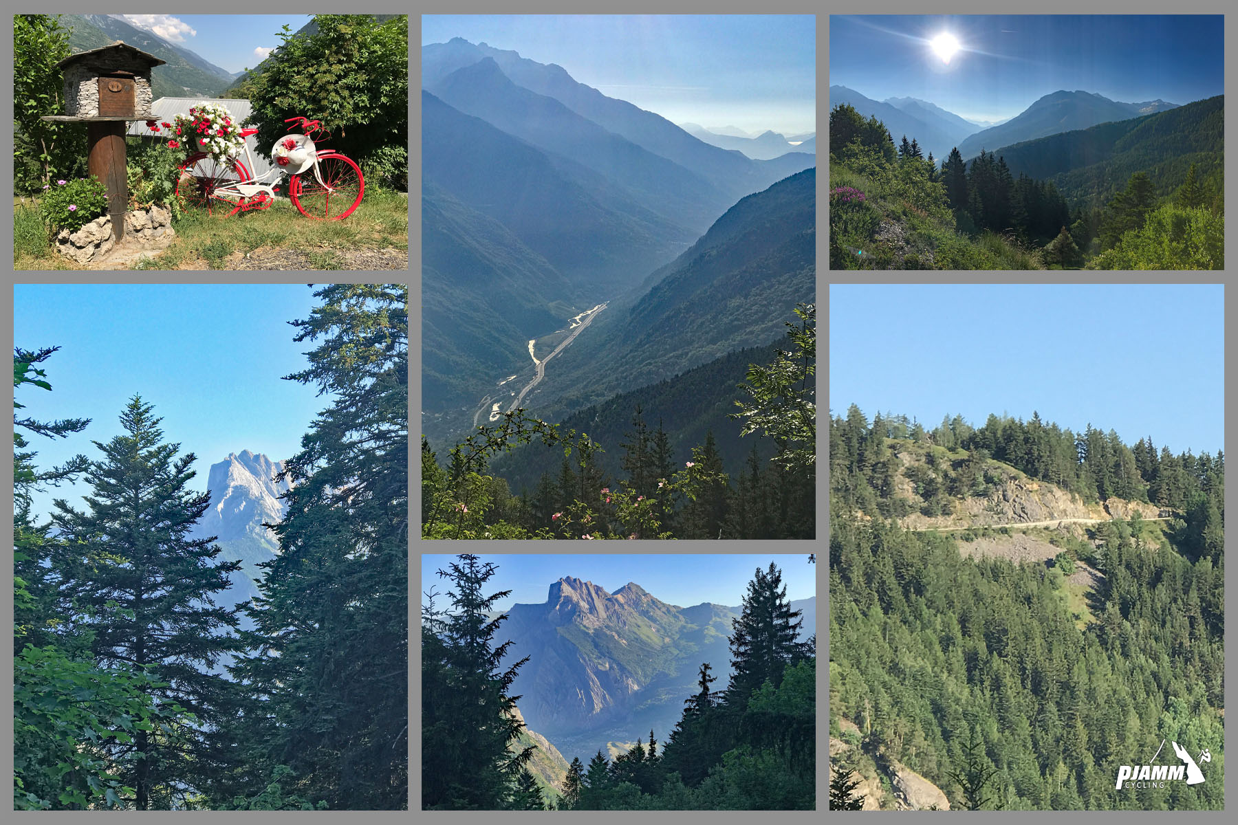
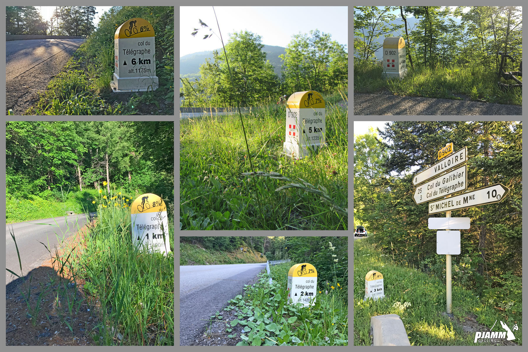
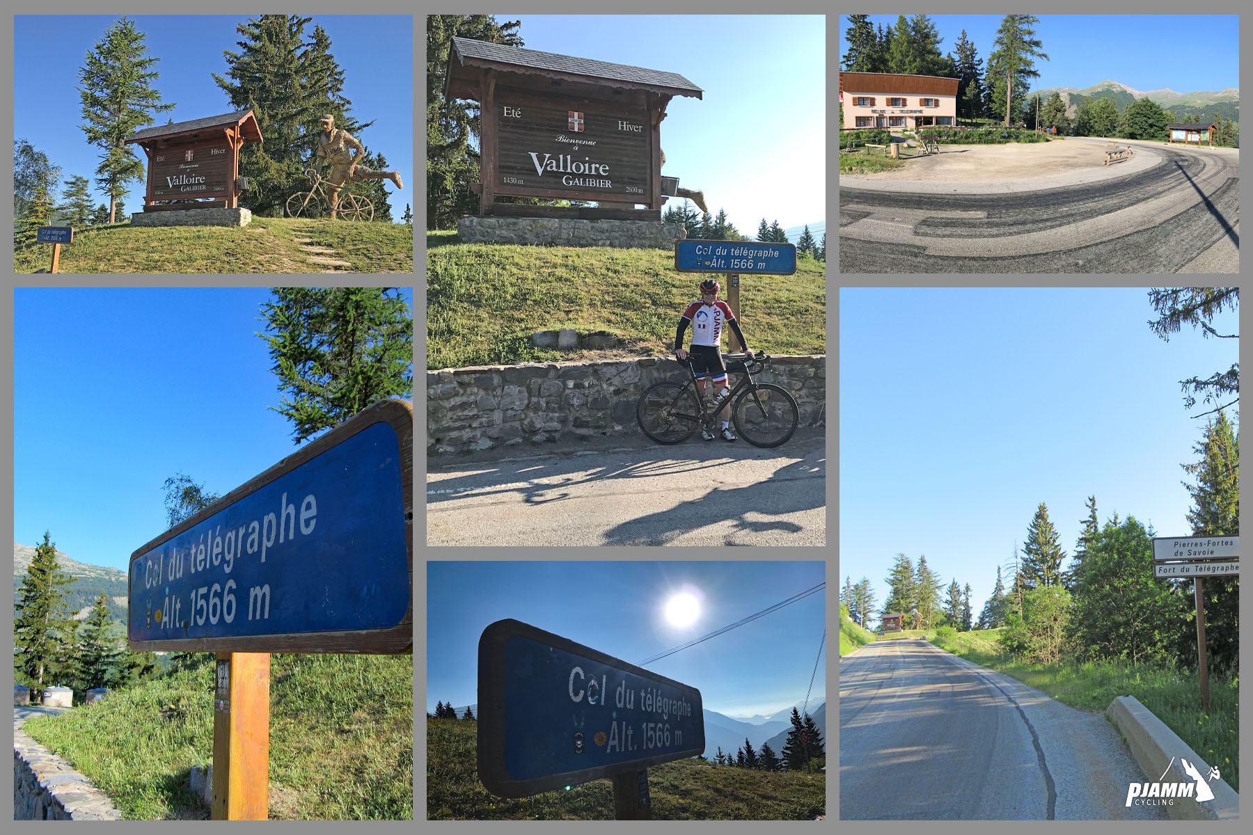
The opening kilometer out of town is the easiest. From there it's 8-8.5% for three kilometers as the road switches back up the steep valley side, then a long stretch at 6-7.5% before a last 2 km at about 7% to the col. The forest keeps most of the road shaded and hides the views until near the top, where the Maurienne valley opens up below and the Fort du Télégraphe appears on its rock above the pass.
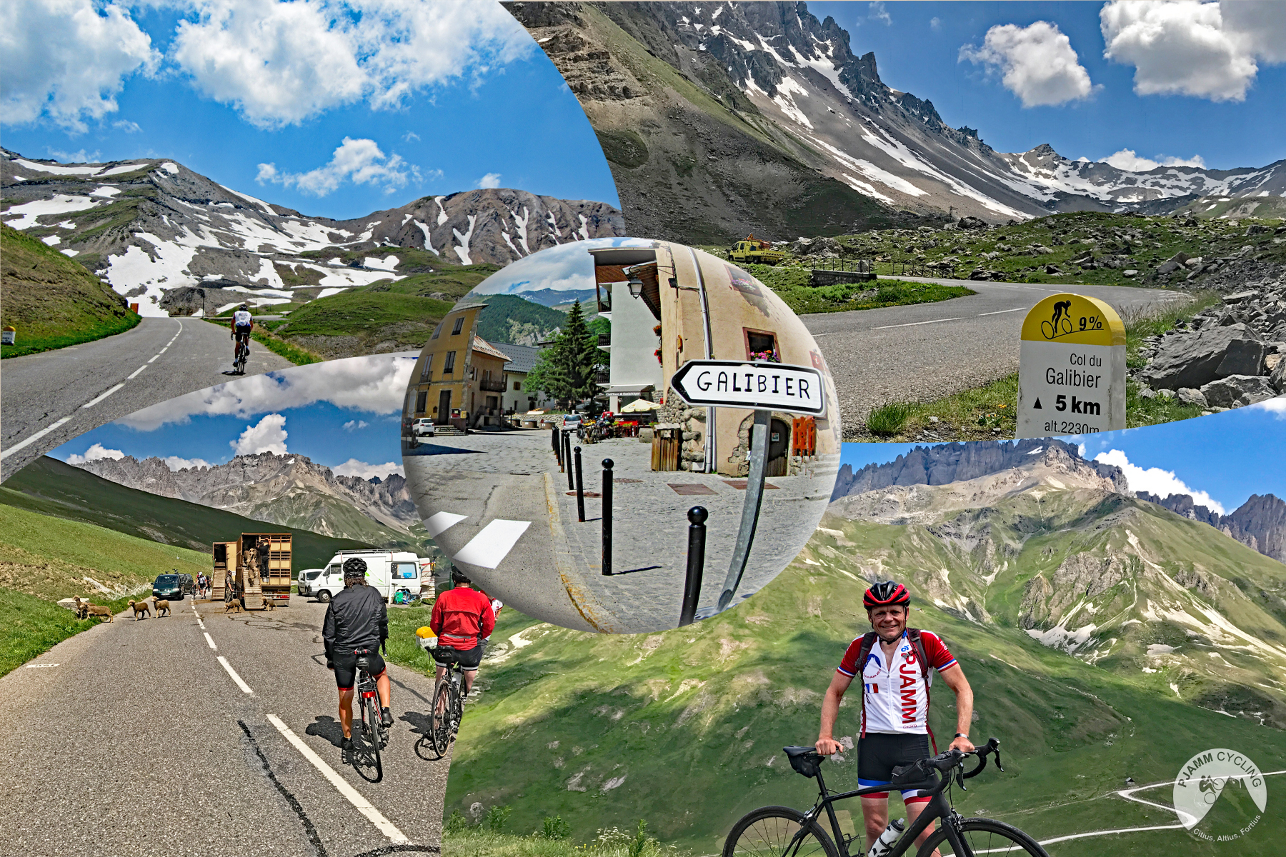
The Tour keeps coming back here, most recently on stage 20 of the 2026 race, when Richard Carapaz led over the Télégraphe and the Galibier and went on to win at Alpe d'Huez. In 2022 it led into the Galibier on the stage to the Col du Granon. Valloire is a short descent beyond the col, and our Col du Galibier (Valloire) page picks up from there.
PLAN YOUR ROUTE
 We've partnered with Sherpa-Map.com to bring you the best route planning tool. With a PRO Membership you can use this climb as a reference when creating your route.
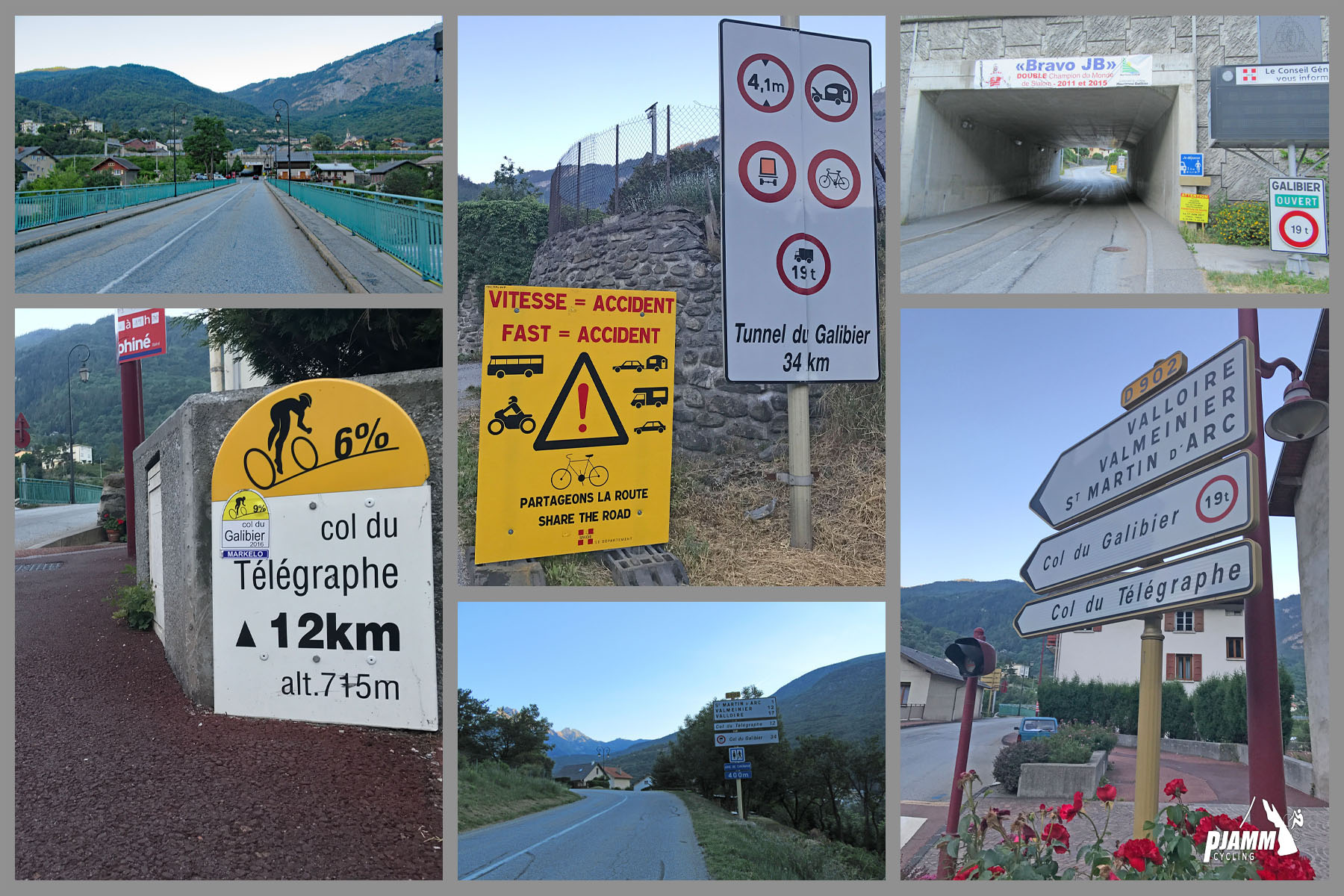
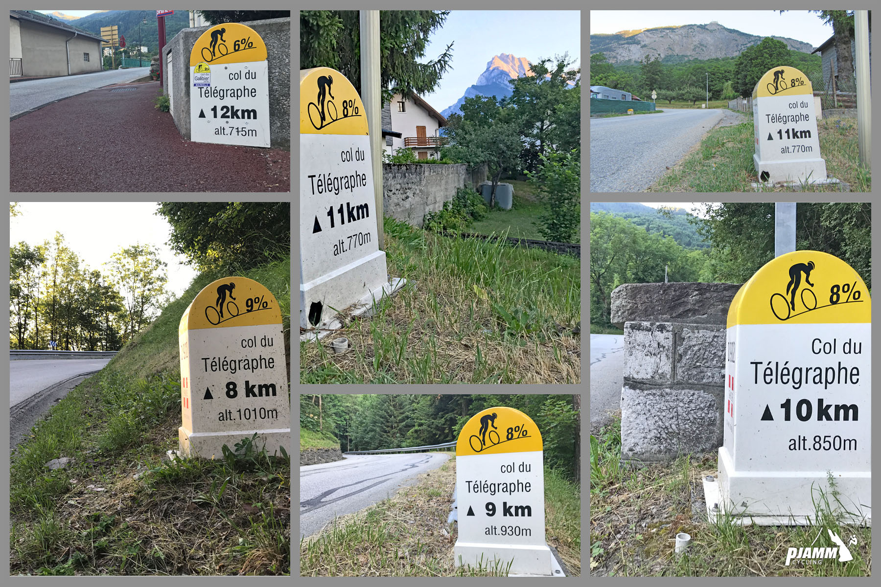
Kilometer 1, through Saint-Michel, averages 5.3%. Then the climb settles in: 8.4%, 8.2% and 8.3% for kilometers 2 to 4, the steepest part of the ride, followed by 7.5%, 7.1% and 7.2%.
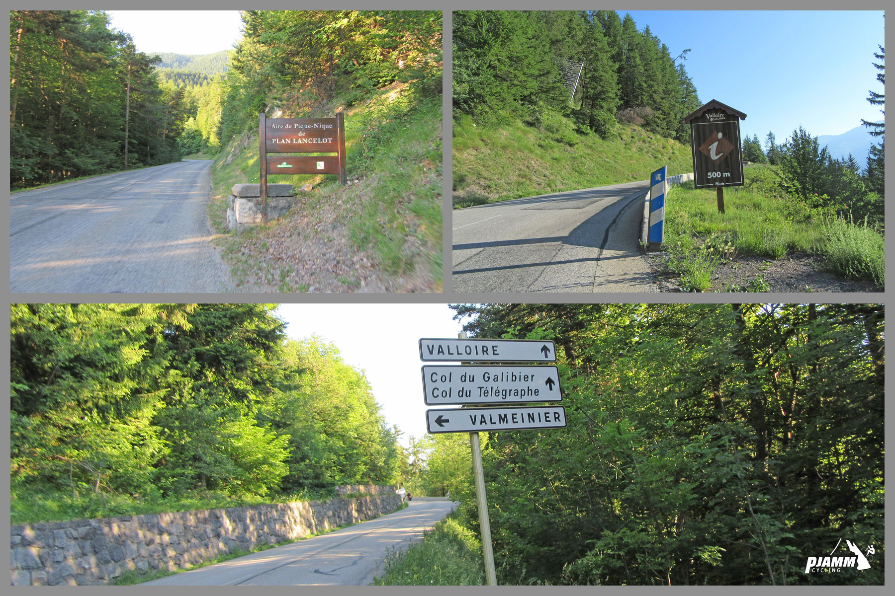
From around km 8 the grade eases slightly to just over 6% for three kilometers (the turnoff to Valmeinier comes a little over 2 km below the col), and the last two kilometers go back up to about 7% to finish at the pass.
Steepest sections on our profile: 1 km at 8.5%, 2 km at 8.3% and 5 km at 7.9%. Overall: 11.7 km (7.3 mi) at 7.1%. Nothing here goes much over 9%, which is why it makes such a good warm-up for the Galibier.
Roadway: The D902 is a wide, well-surfaced two-lane road, open year-round as Valloire's only road access, with snow clearing in winter. In 2025 and 2026 the Communauté de Communes Maurienne Galibier and the Savoie Department redesigned the stretch from Saint-Martin-d'Arc up to the col for cyclists, with a marked central lane carrying bike pictograms, a wider uphill lane and a slightly narrower downhill lane. The Galibier beyond Valloire is closed by snow for much of the year, but the Télégraphe itself stays open.
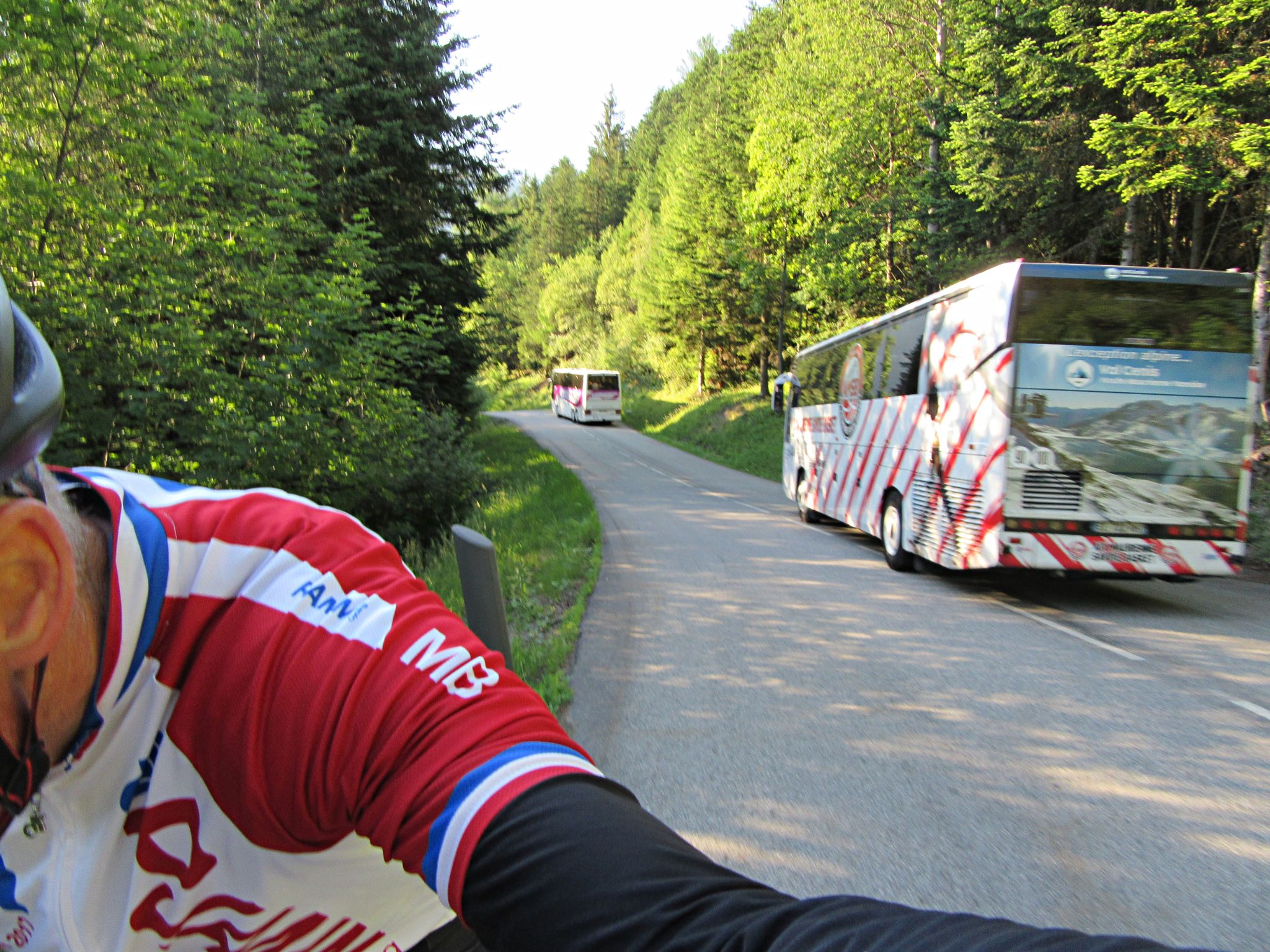
Traffic: Moderate to busy. Everything going to Valloire uses this road, and in summer it carries Route des Grandes Alpes motorcyclists, camper vans and plenty of other cyclists, especially on weekends and during school holidays. Early mornings are the quietest time to ride.
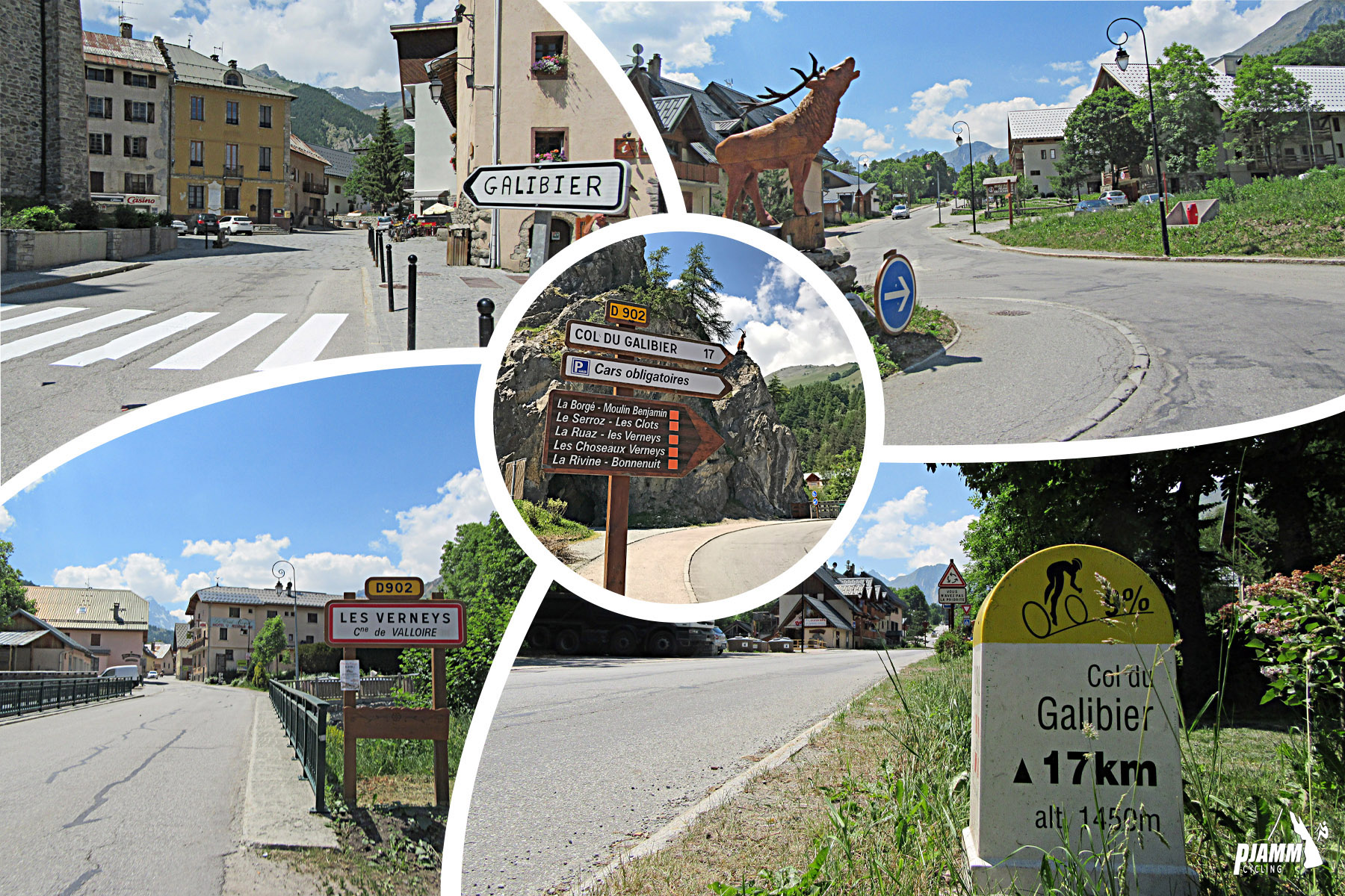
Parking: Street parking in Saint-Michel-de-Maurienne near the start, at the D902 and Grande Rue. Saint-Michel-Valloire station makes it easy to arrive by train, and Espace Alu on Place de l'Église offers secure bike parking. There's also a car park at the col beside the fort, if you want to start from the top.
Gear: A compact chainset with a 30 or 32 cog covers it comfortably; the Télégraphe is steady rather than steep. If you're carrying on over the Galibier, pack for altitude - a jacket for the cold descent from over 2600 m and gloves outside midsummer.
Provisions: Saint-Michel has bakeries, cafes and shops for a last top-up. At the col, the Relais du Télégraphe restaurant serves food and drinks, and riders report a water source there for refilling bottles. Valloire, a short descent further on, has everything if the Galibier is next.
Before heading out on any cycling adventure check out our Things to Bring on a Cycling Trip and use our interactive check list to ensure you don't forget anything.
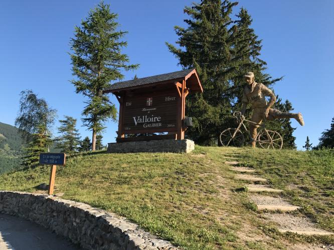
Take a few minutes at the top for the Fort du Télégraphe, which sits on its rocky spur right beside the col. It was built between 1886 and 1890 to guard Saint-Michel and the new Galibier road, on a site that once held a Chappe semaphore telegraph tower - which is where the pass gets its name - and was reused in 1940 as part of the Alpine Maginot Line. It's open to visitors, with tours in French.
Saint-Michel-de-Maurienne is the start of several other climbs we cover: the Valmeinier road splits off near the top of this one, and our St. Michael - Beaune pages take the quieter roads up the other side of the valley. Valloire, just over the col, is the natural base for the Galibier, and Saint-Jean-de-Maurienne, 15 minutes down the valley, has the Croix de Fer, the Mollard and the Lacets de Montvernier on its doorstep.
ROUTE MAP
MEMBER RATING
CURRENT WEATHER
PJAMM TRIPS ADVENTURE STARTER BUNDLES
Check out PJAMM Adventure's prepackaged (self-guided) cycling trips. They will help you plan, document and conquer your next adventure.
NEARBY CLIMBS (0) RADIAL PROXIMITY
FROM No Climbs Found
MEMBER REVIEWS & COMMENTS
Let us know what you thought of this climb. Signup for our FREE membership to write a review or post a comment.
Already have an account?
LOG IN HERE