9.7
PDI
10.2 mi
DISTANCE
2,181 ft
GAINED
3.9 %
AVG. GRADE
FULL CLIMB STATS
INTRO
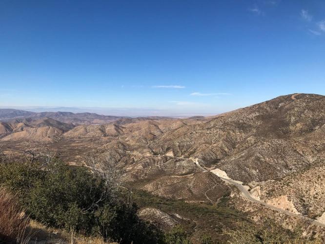
The last portion of this climb overlaps with the Mt. Gleason North (Nike Missile Site) climb, which takes Angeles Forest Highway the whole way to Mill Creek trailhead from Vincent.
PLAN YOUR ROUTE
 We've partnered with Sherpa-Map.com to bring you the best route planning tool. With a PRO Membership you can use this climb as a reference when creating your route.
 See more details and tools regarding this climb's grade via our interactive Profile Tool.
Roadway & Traffic:
The surface on Alisio Canyon Rd and Angeles Forest Hwy is good, but traffic can be heavy, so choose the right time to go.
Parking:
We recommend parking for free at Acton Park less than 2 miles away from the start of the climb. Parking in the Angeles National Forest requires a day pass which can be purchased at a Ranger Station.
There is a water fountain at the Mill Creek Summit Fire Department at the end of the climb.
Before heading out on any cycling adventure check out our Things to Bring on a Cycling Trip and use our interactive check list to ensure you don't forget anything.
The best place to stay is around Palmdale, which will give you access to a wide array of climbs in the San Gabriel Mountains. Check out hotels or rentals near Palmdale
ROUTE MAP

MEMBER RATING
CURRENT WEATHER
PJAMM TRIPS ADVENTURE STARTER BUNDLES
Check out PJAMM Adventure's prepackaged (self-guided) cycling trips. They will help you plan, document and conquer your next adventure.
NEARBY CLIMBS (0) RADIAL PROXIMITY
FROM No Climbs Found
MEMBER REVIEWS & COMMENTS
Let us know what you thought of this climb. Signup for our FREE membership to write a review or post a comment.
Already have an account?
LOG IN HERE

