29.8
PDI
16.9 mi
DISTANCE
4,992 ft
GAINED
5.4 %
AVG. GRADE
FULL CLIMB STATS
Page Contributor(s): Bruce Hamilton, La Quinta, CA, USA; Stacy Topping, Tacoma, WA, USA
INTRO
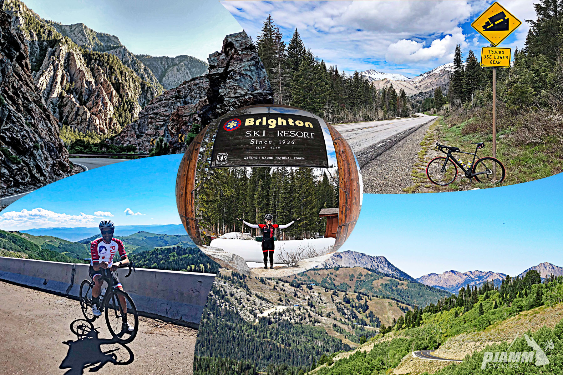
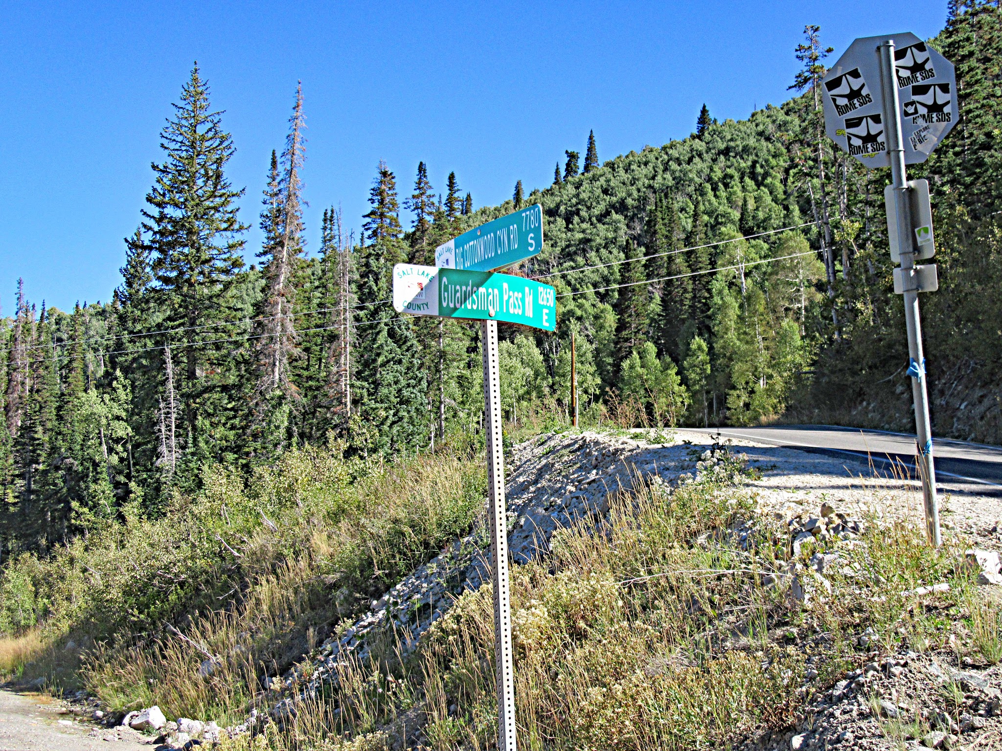
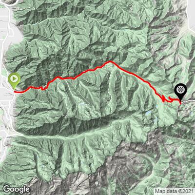
Big Cottonwood Canyon climbs 16.9 miles and 4,992 ft at a 5.4% average grade from the edge of Salt Lake City's suburbs to Guardsman Pass at 9,709 ft. The whole route follows the Big Cottonwood Canyon Scenic Byway (SR-190): up the canyon toward Solitude and Brighton ski resorts, then left at mile 13.8 onto Guardsman Pass Road for the final 3.1 miles at 6.7% to the top.
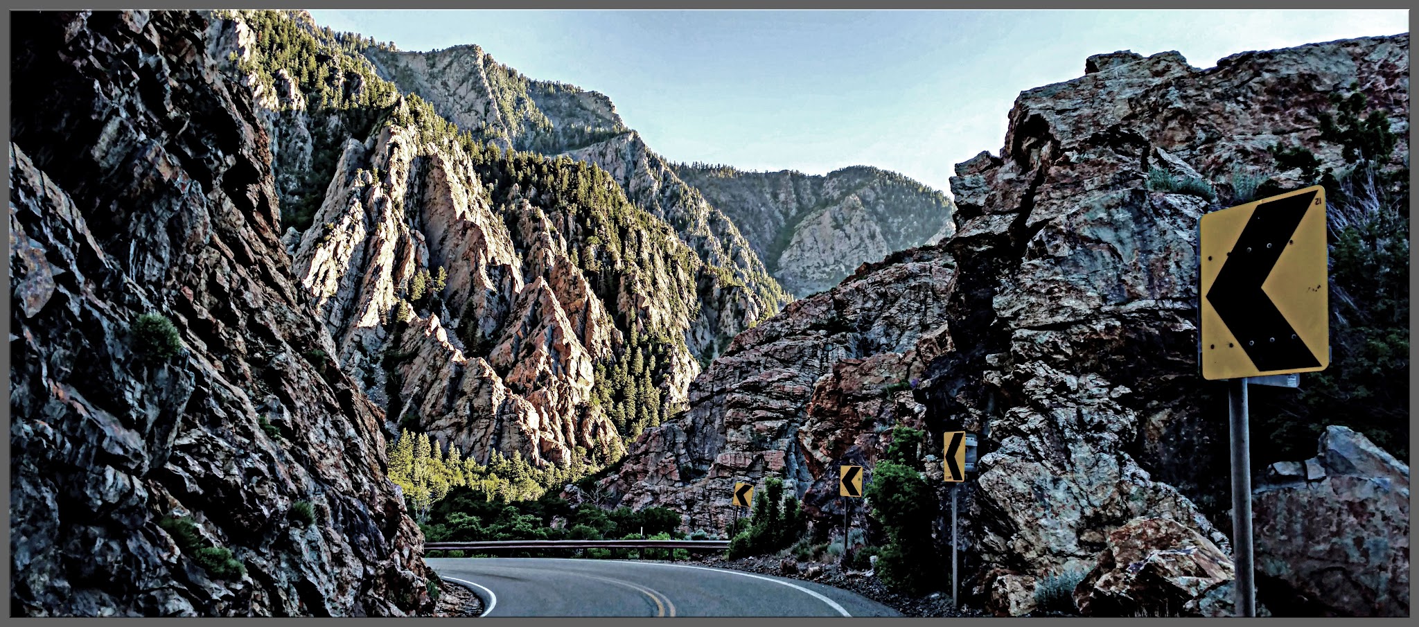
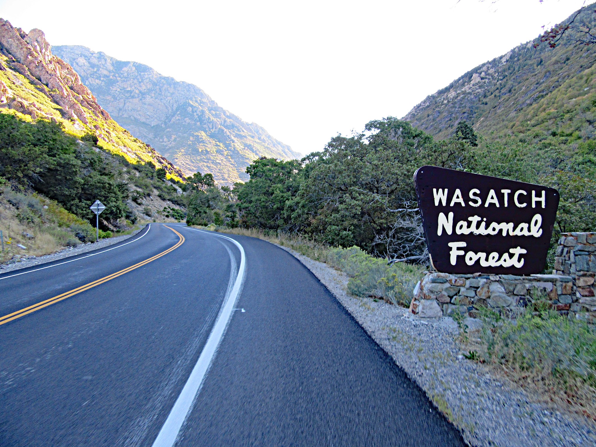
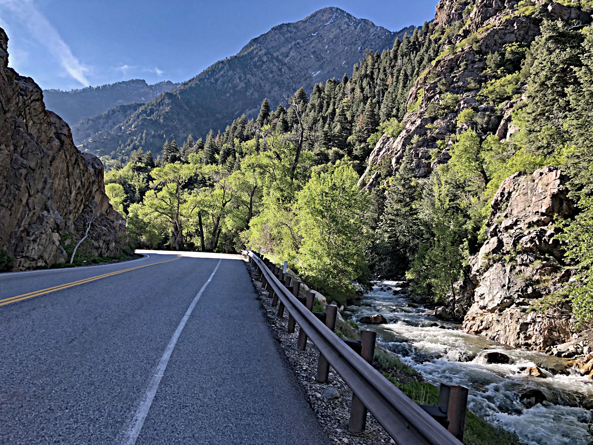
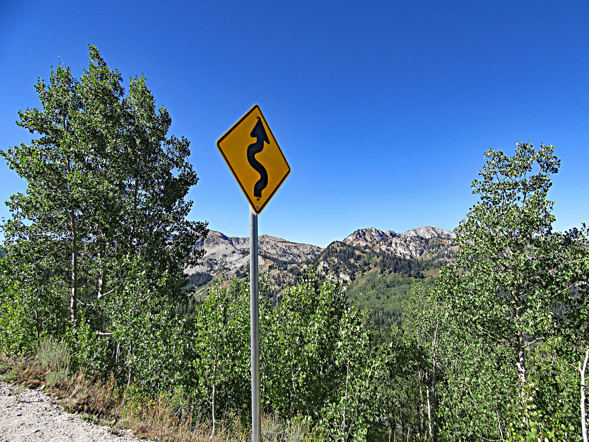
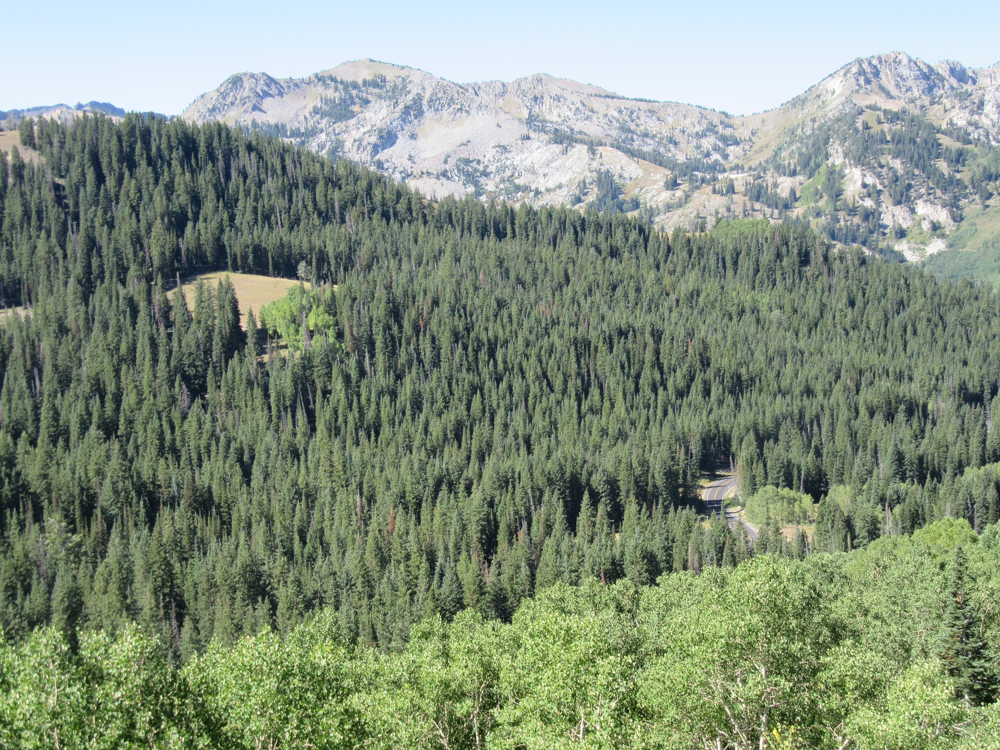
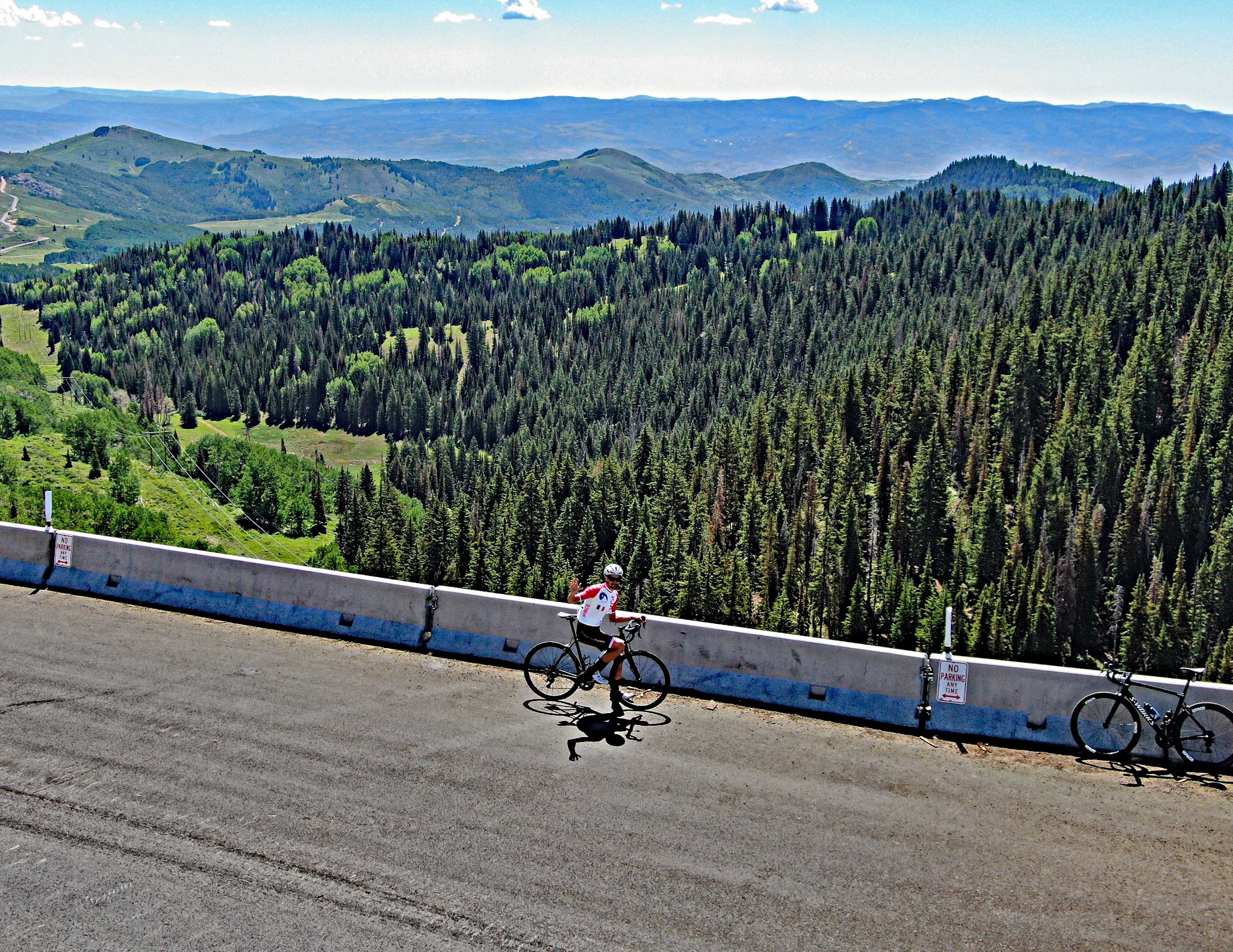
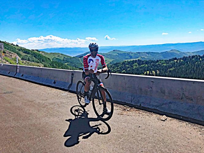
We enter the Wasatch National Forest almost immediately, and for the first 12 miles the road winds through a tight, forested canyon alongside Big Cottonwood Creek - granite walls, climbers' pullouts, and plenty of shade, but few distant views. That changes above Solitude: the switchbacks on Guardsman Pass Road open up to some of the best views of the surrounding Wasatch peaks anywhere in the range, and the finish at the pass overlook is spectacular. It's one of the hardest paved climbs in Utah.
This is one of three routes to Guardsman Pass (the others come up from Midway and Park City), and Little Cottonwood Canyon starts just a few miles to the south - it's "Little" only because it's shorter and narrower; both are must-do's. For a monster day, go up-over-back: Big Cottonwood to the pass, down to Midway and back again is about 51 miles with 8,939 ft of climbing. Guardsman Pass Road above the winter gate closes each winter, so the full climb is a late-spring-to-fall ride.
PLAN YOUR ROUTE
 We've partnered with Sherpa-Map.com to bring you the best route planning tool. With a PRO Membership you can use this climb as a reference when creating your route.
 The average grade is 5.4%, but it varies frequently, with about seven brief descents along the way. The lower canyon is the harder half of the SR-190 section, with twisty stretches at 7.6% (mile 2) and 8.3% (mile 4). Miles 6 through 10 are the easiest of the climb, averaging roughly 2-4% - a good place to recover. The grade builds again past mile 10 to around 6% up to the Guardsman Pass turnoff at mile 13.8.
The final 3.1 miles on Guardsman Pass Road average 6.7% and save the hardest work for the end: the last mile is the steepest of the climb at 9.6%, including a half-mile at 10.8% and a quarter-mile at 13.0%. Overall, 44% of the climb is at 5-10% and 12% is at 10-15%.
Roadway: Excellent. UDOT repaved SR-190 in stages between 2020 and 2024 - the upper canyon from mile marker 8 to Brighton along with Guardsman Pass Road, then the lower canyon from the mouth to Mineral Fork - so the pavement is in very good shape from bottom to top, with a good shoulder/bike lane along much of the SR-190 section. SR-190 up to Brighton is open year-round, but Guardsman Pass Road closes at its winter gate every year (typically early November until late spring) - check UDOT Cottonwood Canyons before you go. UDOT's approved Big Cottonwood Canyon project (a mobility hub, upper-canyon tolling for cars, and a new multi-use path along Wasatch Boulevard, possibly as soon as 2028) may bring construction and bike detours around the canyon mouth in the next few years.
Traffic: Mild to moderate on SR-190, with cars moving at a good clip and heavier volumes on summer weekends when trailhead and climbing-area pullouts fill up. On the descent, stay alert through the S-curve and the twisty lower canyon, where cars pull in and out of parking spots. Traffic is light once you turn onto Guardsman Pass Road.
Parking: The Big Cottonwood Canyon Park and Ride sits right at the start, at Wasatch Boulevard and Big Cottonwood Canyon Road - Map; Street View. It's a busy transit lot in ski season and fills early, but summer mornings are much easier.
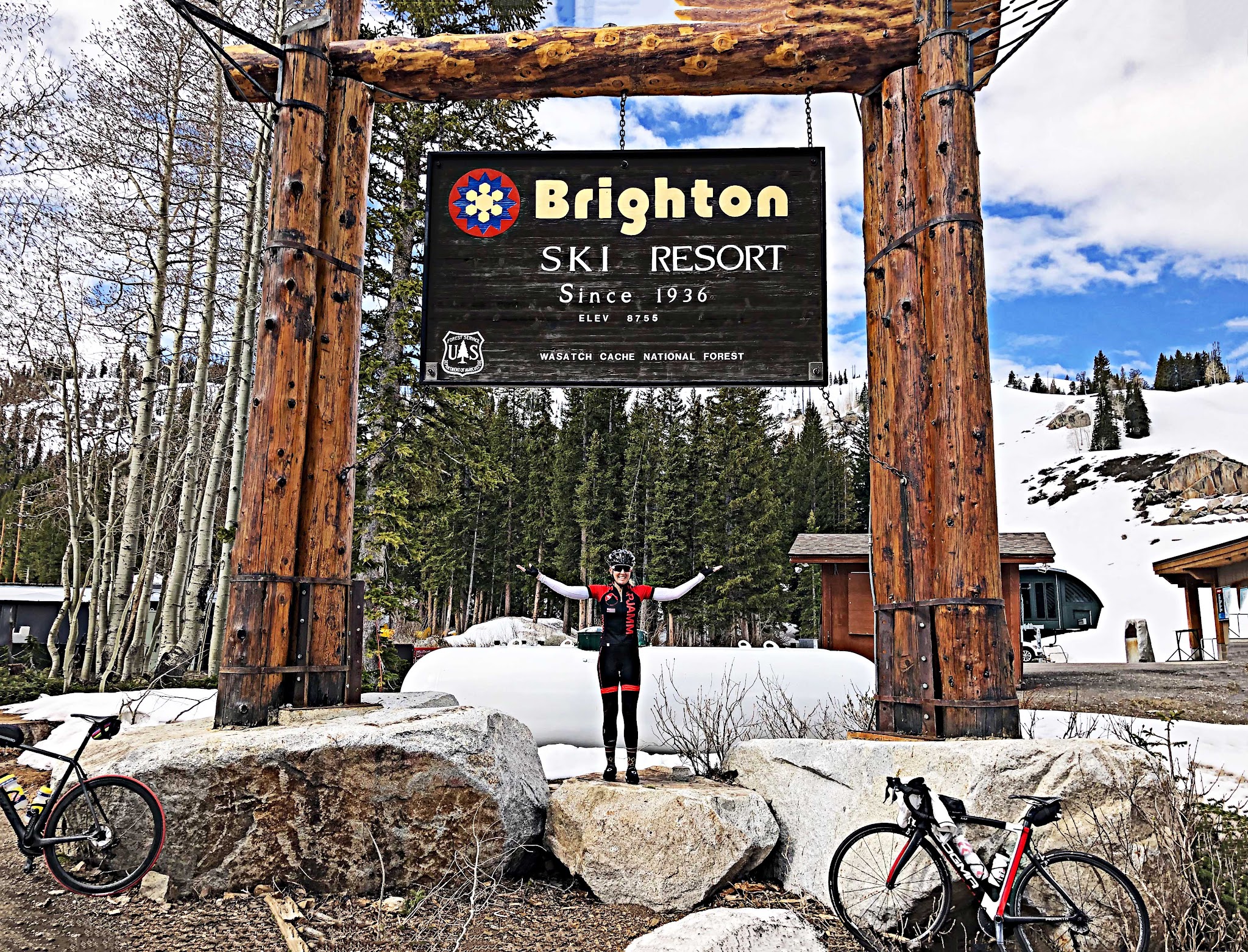
Provisions: Silver Fork Lodge, about a mile below Solitude, is open daily year-round for breakfast and lunch (famous for its sourdough pancakes). For a stop right before the final push, continue straight a quarter mile past the Guardsman Pass turnoff (mile 13.8) to the Brighton base area, where the Brighton Store & Cafe is open daily in summer. There's nothing on Guardsman Pass Road itself.
Weather: You finish nearly 5,000 ft higher than you start and close to 10,000 ft elevation, so conditions at the top can be very different from the valley - particularly late in the day. The descent can be miserable and freezing if weather moves in. Check conditions at the summit before you go with our Weather tool and pack a jacket and gloves for the way down.
Before heading out on any cycling adventure check out our Things to Bring on a Cycling Trip and use our interactive check list to ensure you don't forget anything.
Unlike most big mountain climbs, this one starts right on the edge of the city - if you're staying in Salt Lake City or the southeast suburbs (Cottonwood Heights, Holladay, Sandy), you can simply ride to the canyon mouth, and Little Cottonwood Canyon is close enough to pair on the same trip.
For a longer cycling trip we like basing in Park City, UT, which puts you in reach of the other two Guardsman Pass routes and many more HC climbs. Park City has many resort and hotel options, and for extended stays you can rent one of the many villas and condos in this popular ski town.
Use our Routes in the Area tool to see the other Wasatch climbs nearby or build a custom route from here.
ROUTE MAP
MEMBER RATING
CURRENT WEATHER
PJAMM TRIPS ADVENTURE STARTER BUNDLES
Check out PJAMM Adventure's prepackaged (self-guided) cycling trips. They will help you plan, document and conquer your next adventure.
NEARBY CLIMBS (0) RADIAL PROXIMITY
FROM No Climbs Found
MEMBER REVIEWS & COMMENTS
Let us know what you thought of this climb. Signup for our FREE membership to write a review or post a comment.
Already have an account?
LOG IN HERE
akbean
The first few miles are fairly challenging, but the road flattens out (and even gives you a very short downhill) for the middle section. Ramps up in difficulty significantly once you hit Guardsman Pass.
The shoulder on the uphill is wide, but large sections of the descent have little to no shoulder. There can also be rocks and debris on the road, so be alert. It's a very popular canyon for hiking, so there will be heavy car traffic. Be aggressive (and safe!) and take your lane on that descent when you lose the shoulder. Recommend riding on a weekday if possible to avoid weekend traffic.
Scenery is incredible. Narrow sections right up on the creek and trees give way to big open fields with breathtaking views of the canyon. Rode it in late September, so got to see the changing leaves.
HakenBaconator


Beautiful climb! I did not go all the way to Guardsman Pass, but the scenery was still pretty good. The traffic was pretty heavy, but to be fair I did go on a holiday weekend. The roads are in great condition and the descent was (for the most part) flowey and fast.
manatee44
A classic Utah ride. This is a super accessible climb. The shoulder going up is large and the climb itself isn't super hard(but still challenging) as there are lots of breaks in the gradient where you can recover. To make it easier you can skip Guardsman and just finish at Brighton. In my opinion, the climb up to Guardsman is by far the hardest section, though the view from the top is so worth it. There's also the Brighton General Store that is a great mid ride refueling stop.