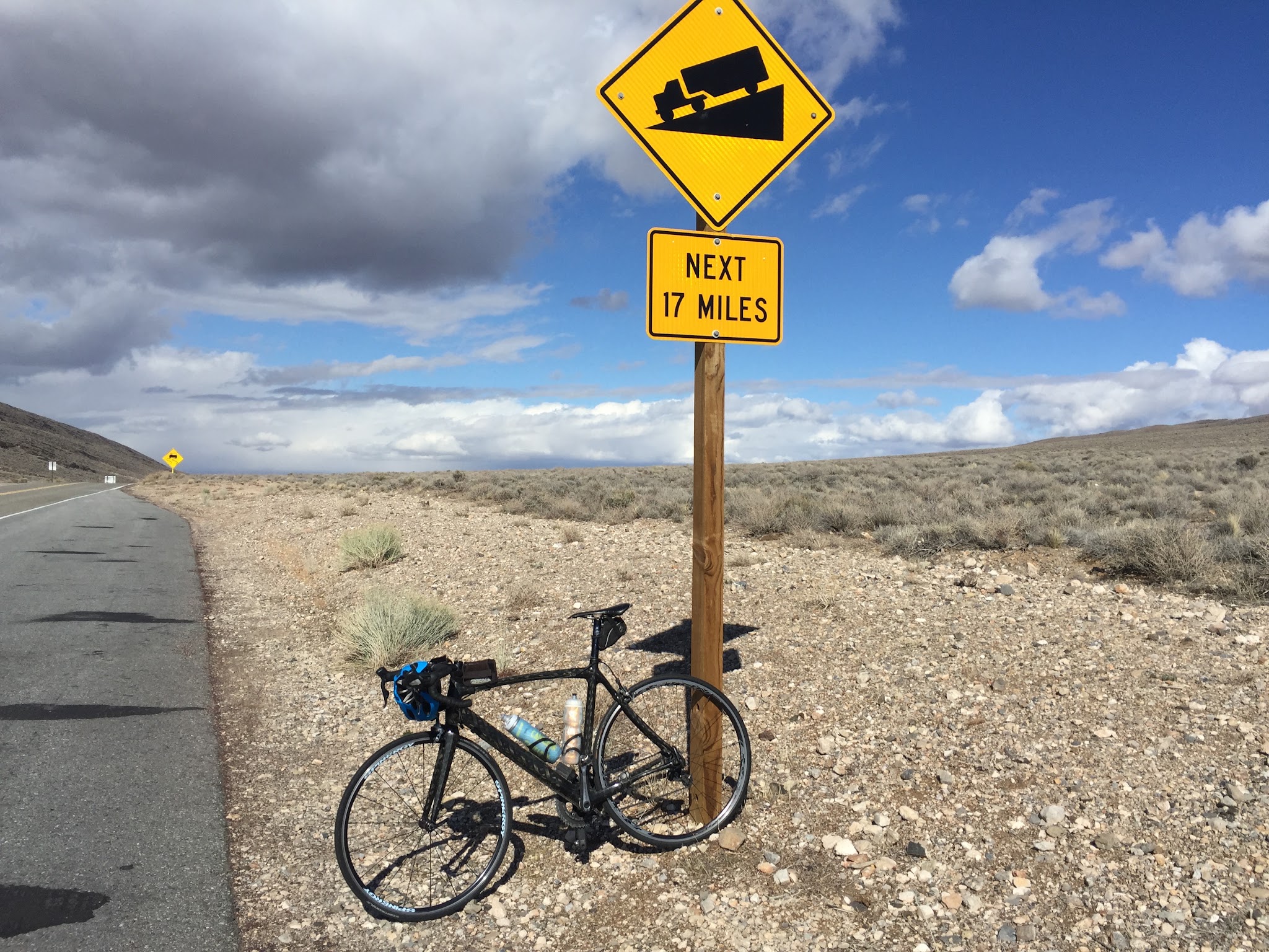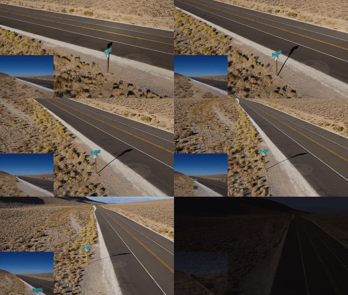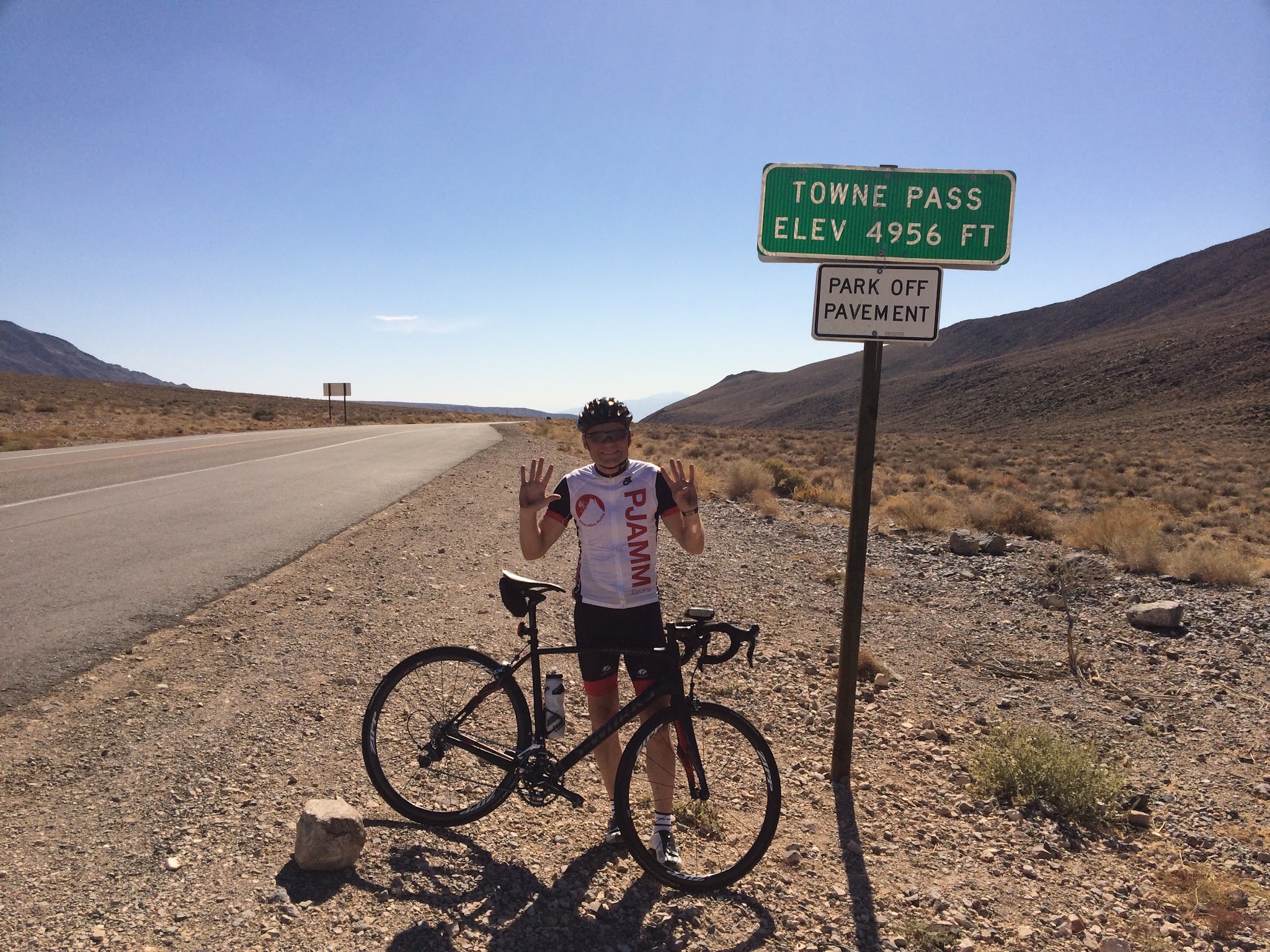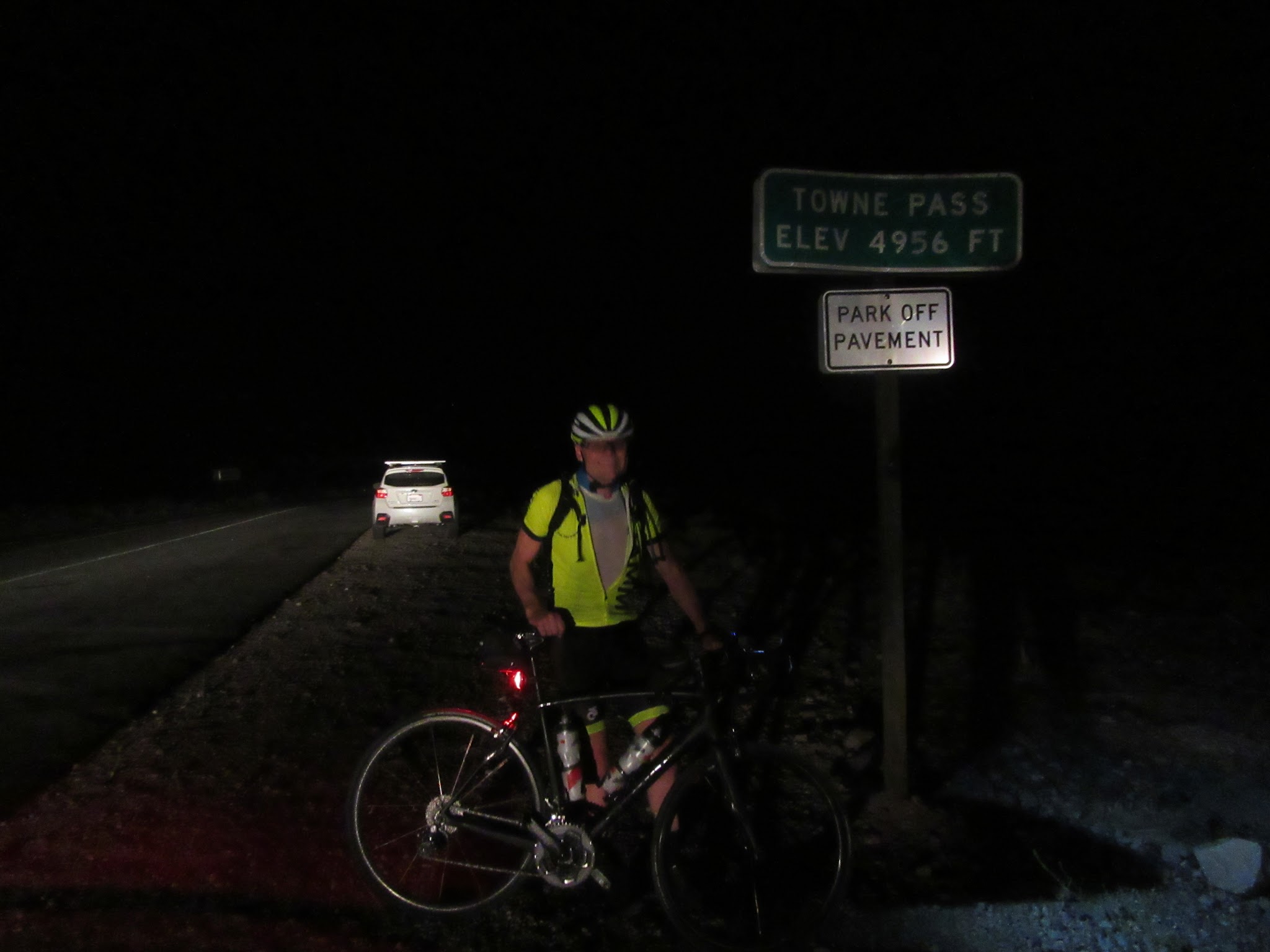
26.9
PDI
16.9 mi
DISTANCE
4,968 ft
GAINED
5.6 %
AVG. GRADE
FULL CLIMB STATS
INTRO
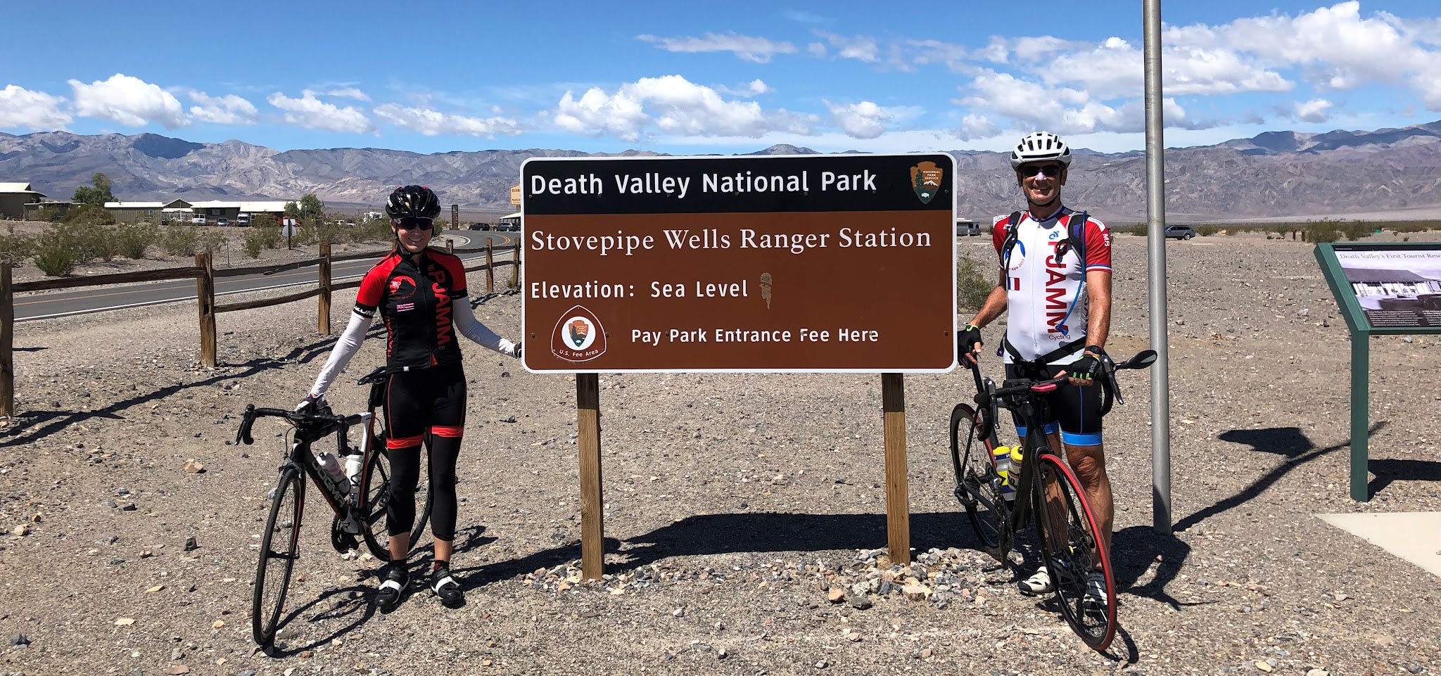
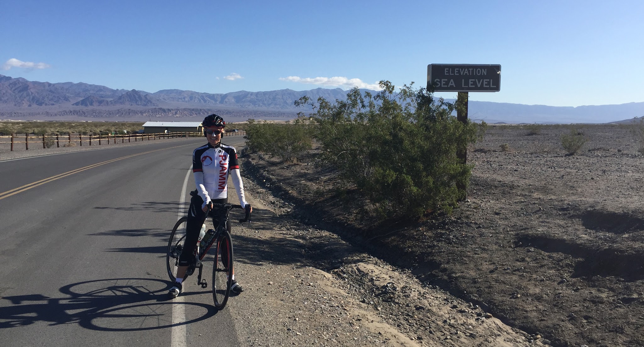
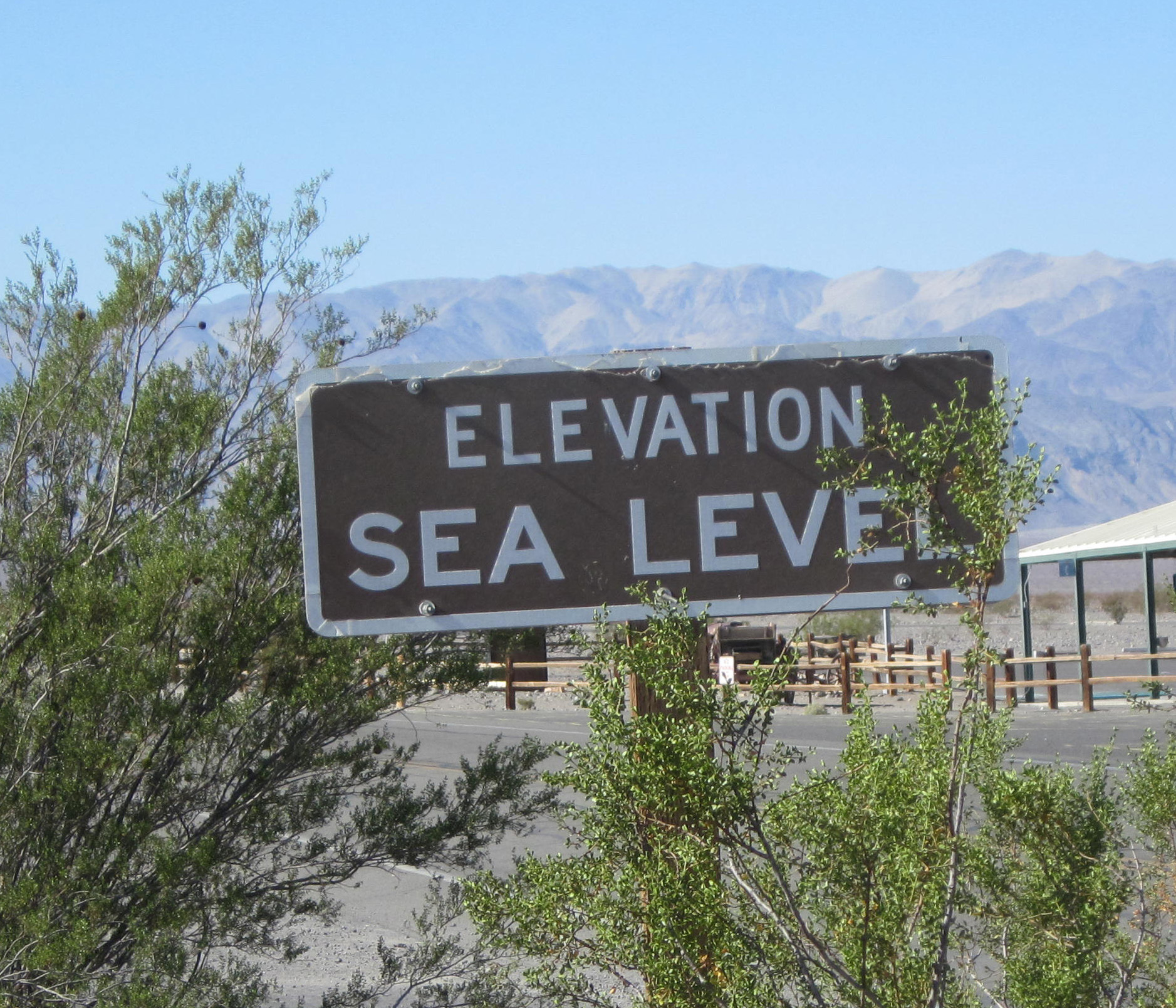
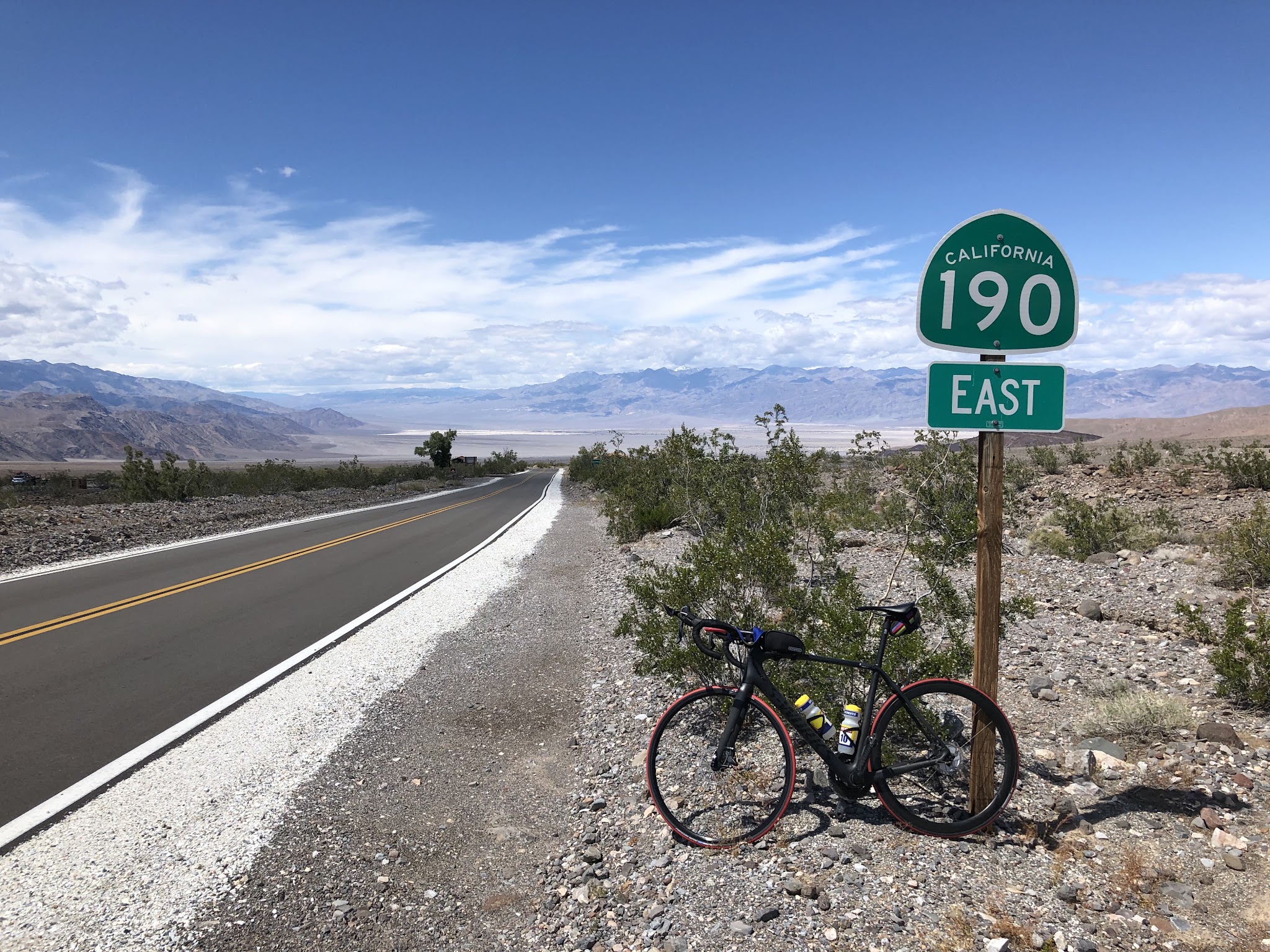
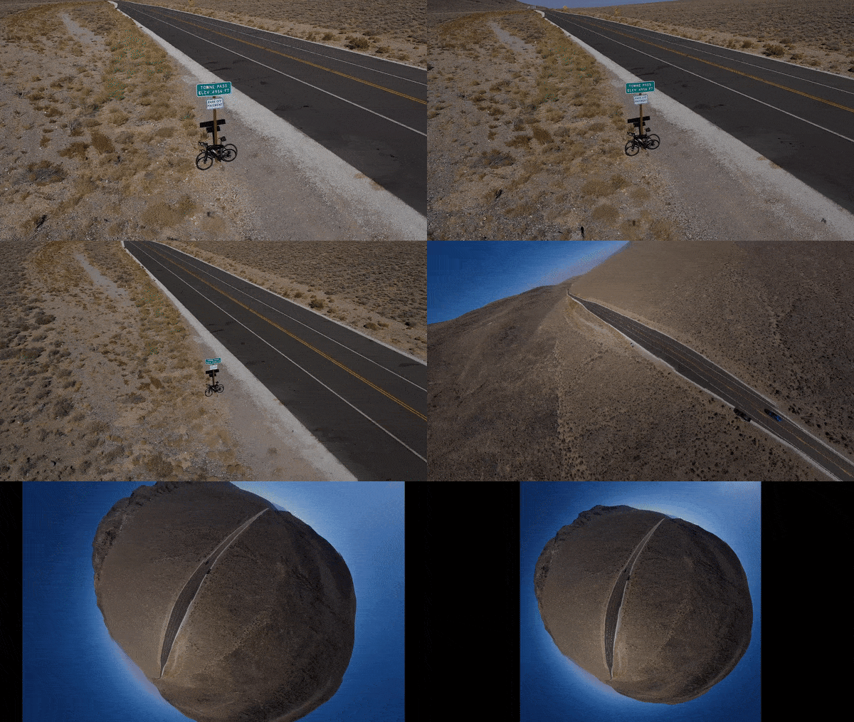
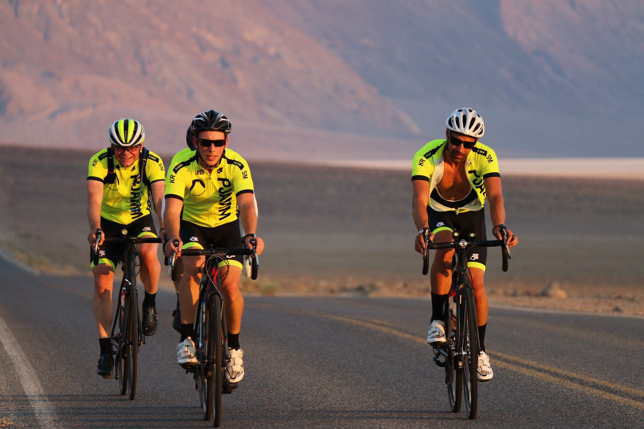
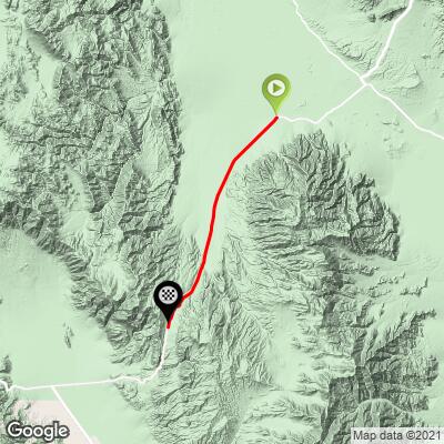
Towne Pass North climbs Highway 190 from Stovepipe Wells at sea level to the summit of Towne Pass, 16.9 miles (27.2 km) and 4,968 ft (1,514 m) of gain at a 5.6% average grade. It is one of the long, classic climbs of Death Valley National Park, and it ranks #467 in the world in our database.
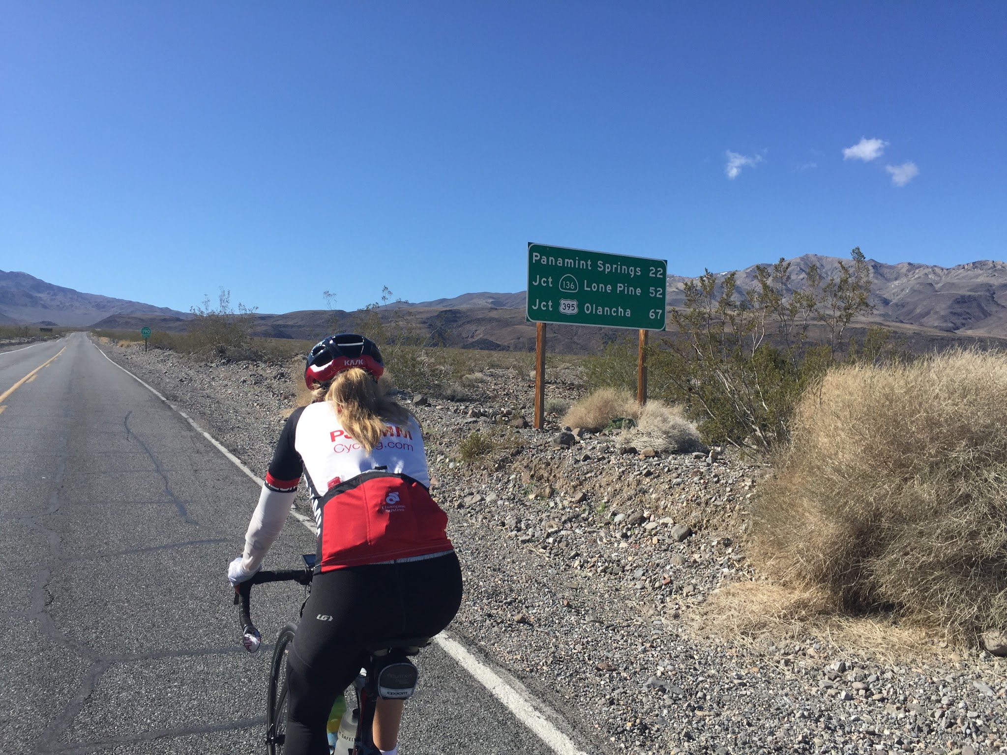
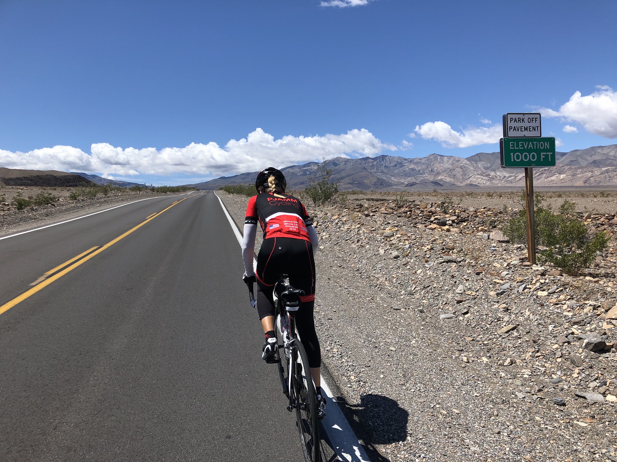
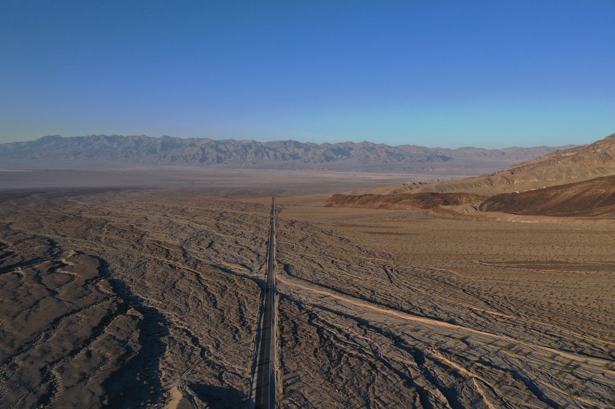
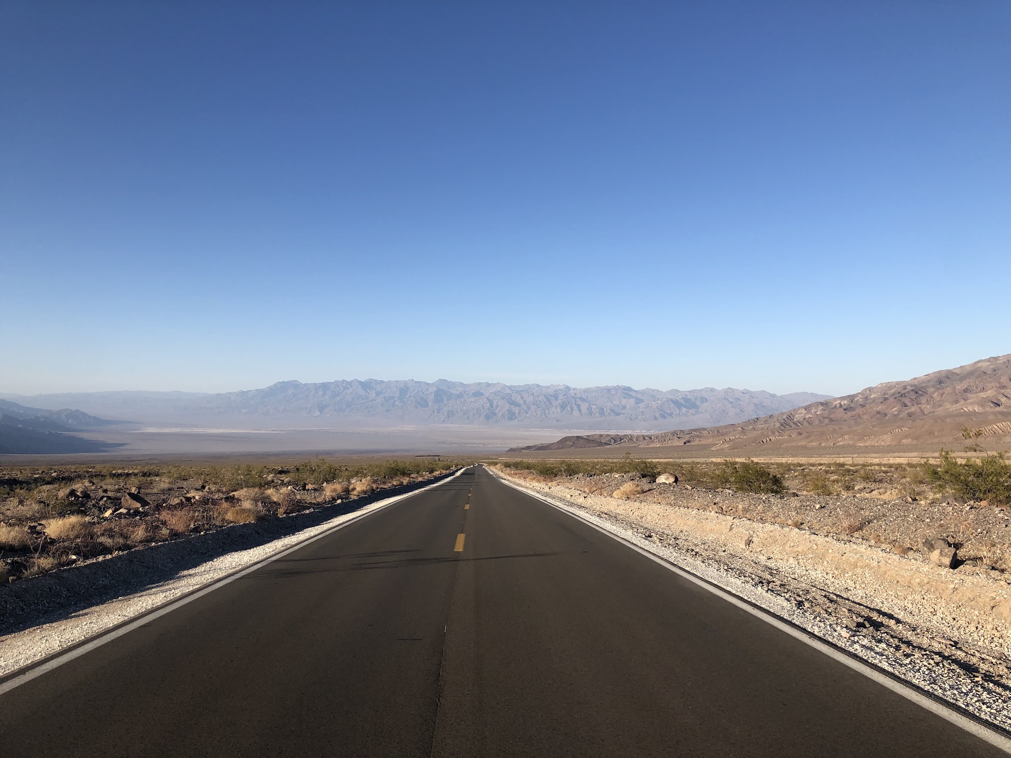
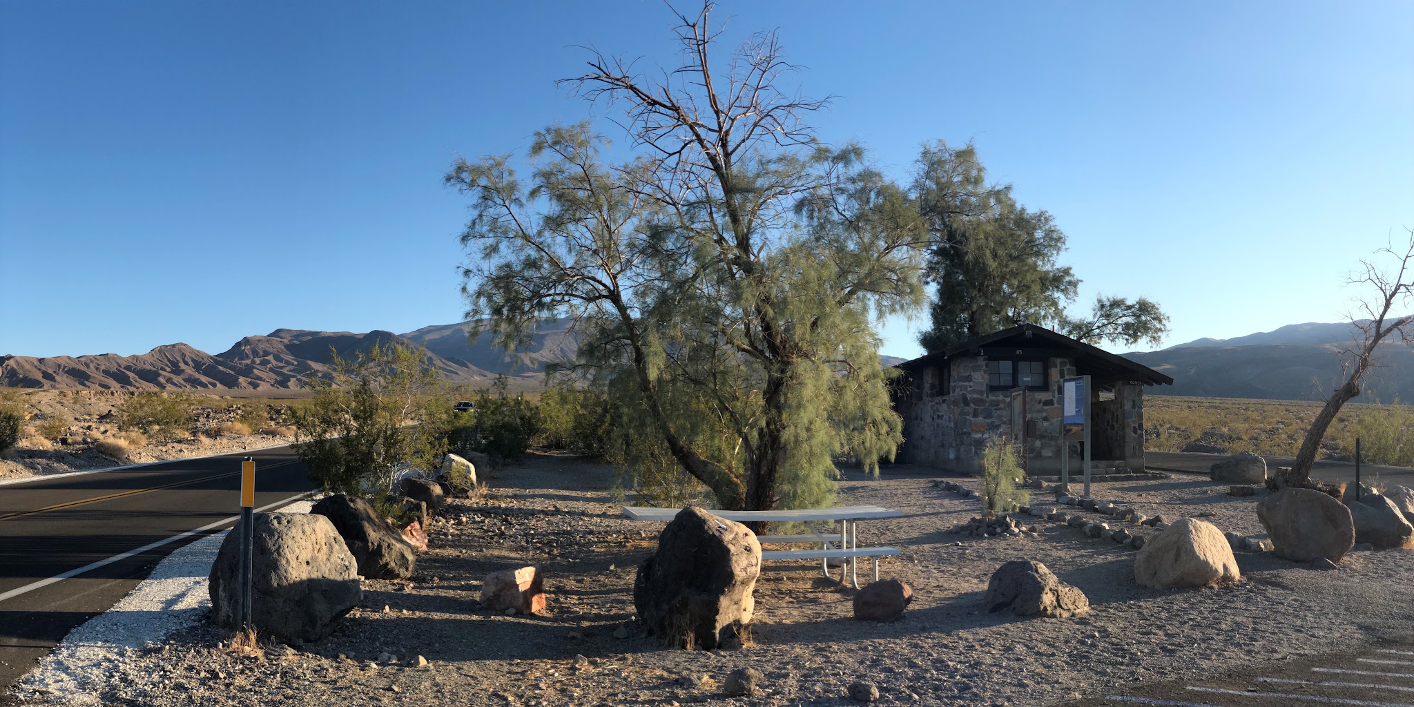
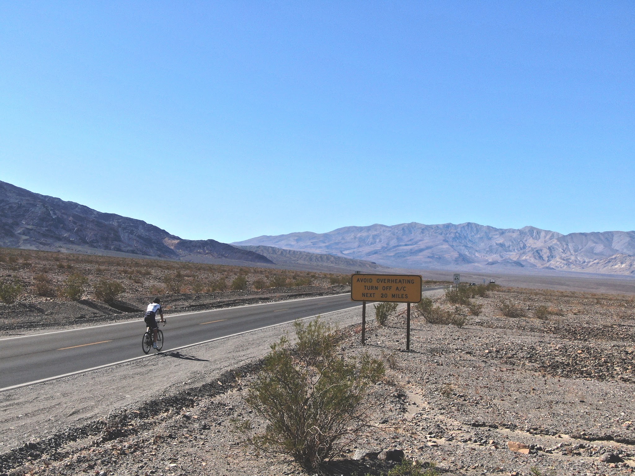
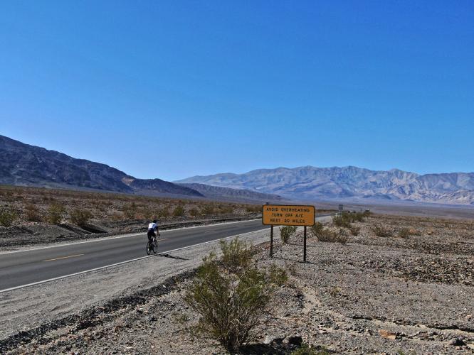
The first several miles seem almost flat in a stark, arid desert setting, and you should be prepared to ride into a significant headwind for most of the climb. The road then turns into the Panamint Range, and between roughly miles 9 and 14 (km 15 and 22) most kilometers run 7-9% before the grade eases toward the top. There are almost no trees and no shade, and the lines of sight are long and open. At mile 9.3 (14.9 km) you pass the Emigrant Campground, where Emigrant Canyon Road turns off to Emigrant Pass East.
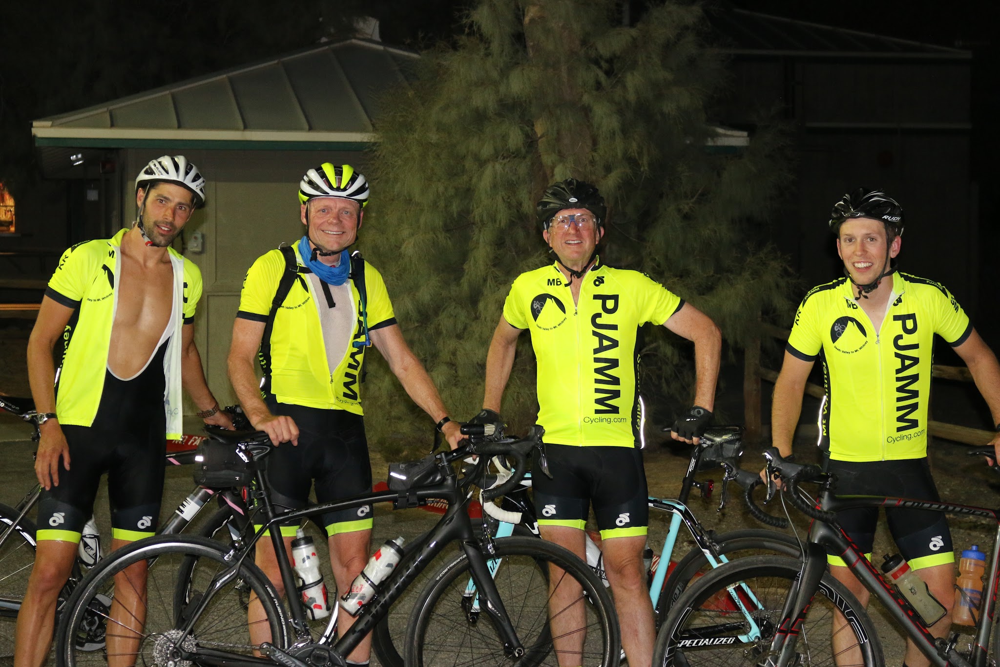
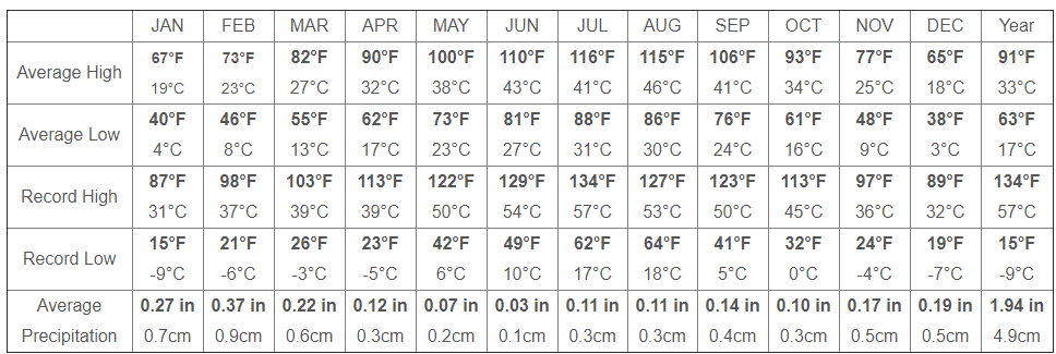
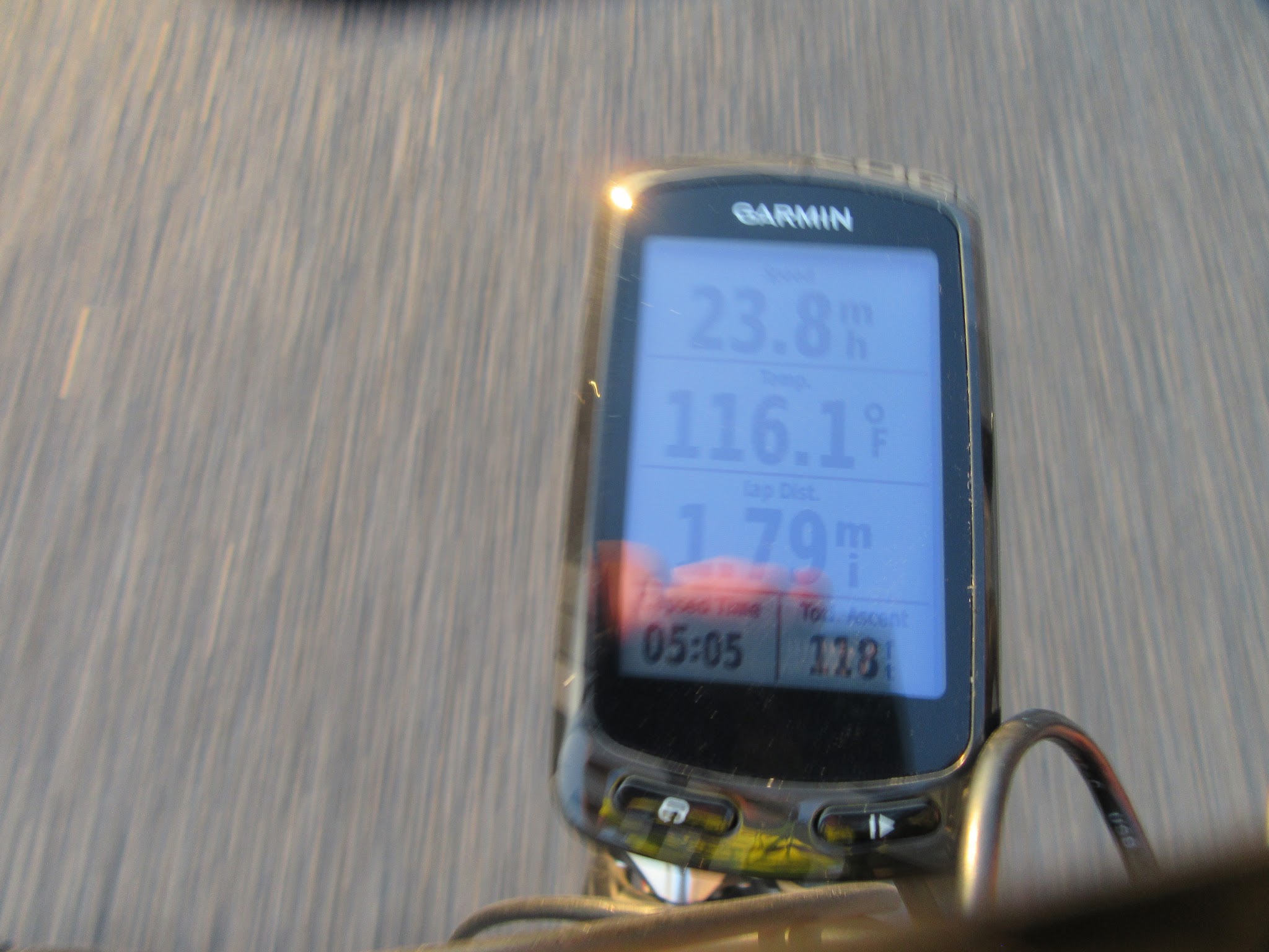
Heat is the real challenge here. Average highs from May to September run 106 to 116 degrees F (41 to 47 C), and July averages about 116. We have a lot of history with this climb: it has been part of our Death Valley trips and our Badwater to Mount Whitney rides, including our July 2016 Badwater to Whitney ride, which started in 116 degree heat. Ride it in the cooler months.
PLAN YOUR ROUTE
 We've partnered with Sherpa-Map.com to bring you the best route planning tool. With a PRO Membership you can use this climb as a reference when creating your route.
 This is more grind it out than up in the saddle double digit grade. The average grade on the climb is 5.6%, gaining 4,968 ft (1,514 m) over 16.9 miles (27.2 km) with negligible descent. 36% (6.1 miles / 9.8 km) is at 0-5% grade, 52% (10.5 miles / 16.9 km) is at 5-10%, and 1.2% (0.2 miles / 0.3 km) is at 10-15%.
The first 2.5 miles (4 km) are nearly flat, gaining under 250 ft (75 m). The hardest going comes between roughly miles 9 and 14 (km 15 and 22), where most kilometers run 7-9%, before the road eases over the final 3 miles (5 km).
The steepest 100 yards (91 m) average 10.9%, the steepest quarter-mile (0.4 km) 9.6%, the steepest half-mile (0.8 km) 9.3%, the steepest mile (1.6 km) 9.0%, the steepest 2.5 miles (4.0 km) 8.4% and the steepest 5 miles (8.0 km) 7.8%. In metric terms, the steepest 500 m averages 9.4%, the steepest kilometer 9.3%, the steepest 2 km 8.9%, the steepest 5 km 8.2% and the steepest 10 km 7.5%.
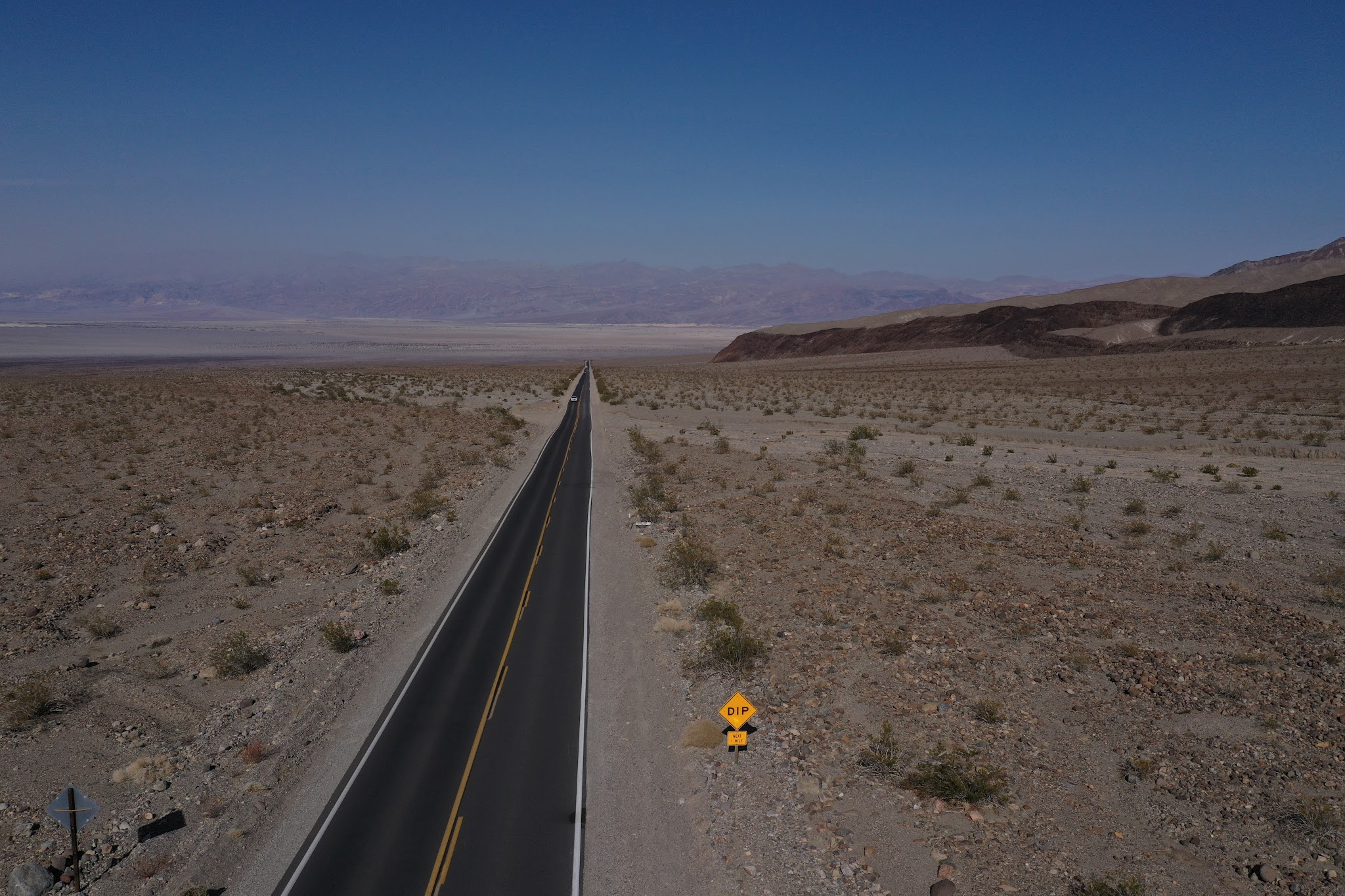
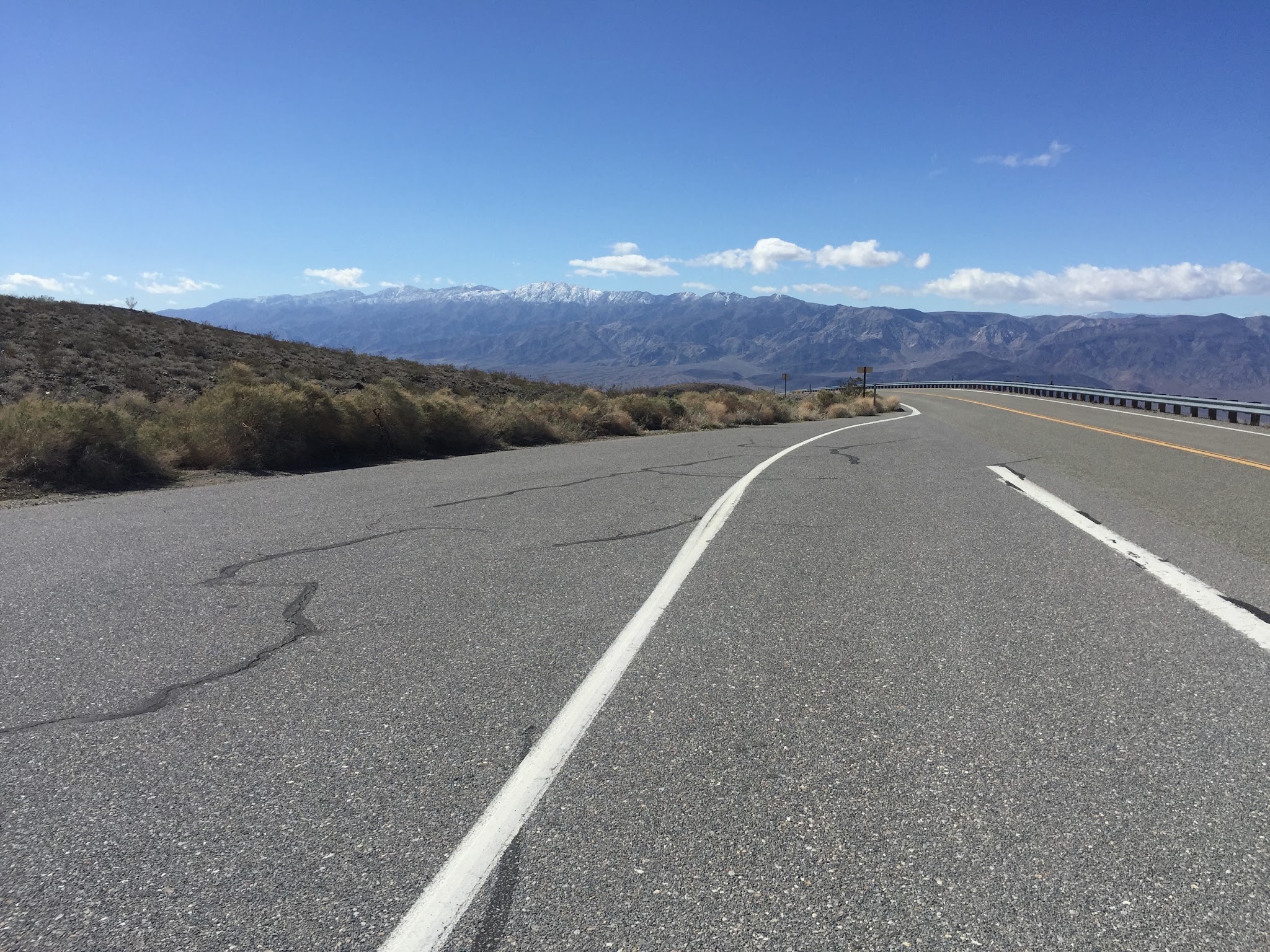
Roadway: Highway 190 is two lanes in excellent condition with little to no shoulder, but with line of sight for miles throughout most of the climb. Death Valley's roads take repeated flash-flood damage, so check the National Park Service road conditions page before you ride.
Traffic: Mild but moving at 55-60 mph. However, it is impossible for an attentive driver to miss you on this roadway - there are no visual obstructions.
Parking: At Stovepipe Wells at the start of the climb - Map; Street View. Park entry is $15 per person on a bicycle, valid for seven days, and the park takes cards only, not cash.
Provisions: There are no provisions on this ride, so be absolutely certain to bring enough water and food. Stovepipe Wells Village at the start has a general store, a restaurant and a fueling station, so stock up before you go.
Weather: It is torturously hot in Death Valley during the hot season, with average highs between 106 and 116 degrees F (41 to 47 C) from May to September. Consult the PJAMM "Full Forecast" feature for temperatures at the start and finish of your climb to be well prepared for the ride.
Before heading out on any cycling adventure check out our Things to Bring on a Cycling Trip and use our interactive check list to ensure you don't forget anything.
We have always stayed in Stovepipe Wells at the Stovepipe Hotel and Restaurant when doing bike climbs on the western side of Death Valley. We enjoy staying there because Stovepipe Wells Village has a general store, a fueling station, a pool, air conditioned rooms, a restaurant and the Badwater Saloon, so everything is within a short walk of the start.
Once we did Towne Pass North and Towne Pass West on the same day, which is a challenge but manageable - 52 miles (83.7 km) gaining 8,350 ft (2,545 m) (Map).
See our Death Valley National Park page for more details about all the bike climbs and lodging in Death Valley.
ROUTE MAP
MEMBER RATING
CURRENT WEATHER
PJAMM TRIPS ADVENTURE STARTER BUNDLES
Check out PJAMM Adventure's prepackaged (self-guided) cycling trips. They will help you plan, document and conquer your next adventure.
NEARBY CLIMBS (0) RADIAL PROXIMITY
FROM No Climbs Found
MEMBER REVIEWS & COMMENTS
Let us know what you thought of this climb. Signup for our FREE membership to write a review or post a comment.
Already have an account?
LOG IN HERE
whitoriginals
March 20, 2023, snowing at the summit
whitoriginals
There is plenty of potable water at the Emigrant Campground at about mile 9. One faucet is by the toilets, one is by the campground.
carlinguernsey
This is a difficult climb as it just seems to go on forever. The lower part is more undulating, so it alternates between flatter and steeper ramps. Above 3,000 feet is where the grind really starts. Wind and heat can make it even more difficult. I did the climb once with a strong headwind that made forward progress difficult in places.
On the descent it was difficult to stay UNDER 60 mph.
Load up on water and supplies in Stovepipe Wells (hint: fill your bottles with ice if it's hot).