10.4
PDI
8.7 mi
DISTANCE
2,112 ft
GAINED
4.5 %
AVG. GRADE
FULL CLIMB STATS
INTRO
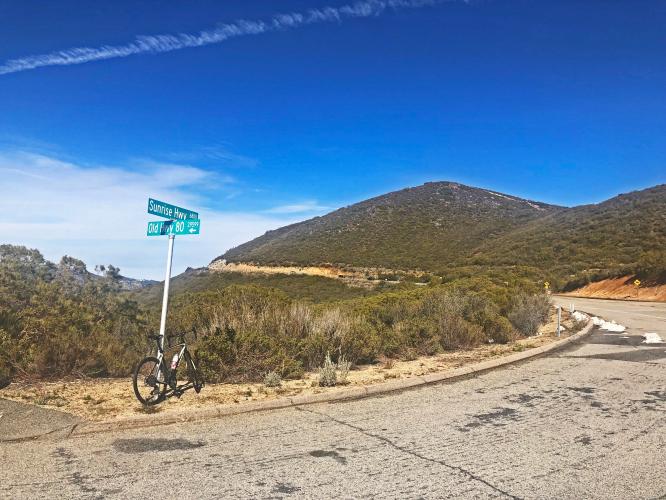
This is the seventh ranked bike climb in San Diego County. This is the more commercial and least interesting of the three climbs in this eastern San Diego County bike climb that works its way towards Mt. Laguna -- the other two highly recommended climbs are: Pine Creek Road and Kitchen Creek Road.
PLAN YOUR ROUTE
 We've partnered with Sherpa-Map.com to bring you the best route planning tool. With a PRO Membership you can use this climb as a reference when creating your route.
 Average grade is 4.5%. 61% of the climb is at 0-5% grade and 37% is at 5-10%. The steepest quarter-mile is 7.4% and steepest mile 6.1%.
See more details and tools regarding this climb's grade via the “Profile Tool” button.
Roadway: Fair to good condition with minimal shoulder.
Traffic: Mild to moderate.
Parking: On the side of the road in Pine Valley one mile before the start of the climb - Map; Street View.
Provisions: None on the climb. We highly recommend Major's Diner in Pine Valley - it has a real fun 60's theme and great food and ice cream. There is also the Laguna Mountain store a couple miles north of the climb finish on Sunrise Highway as well.
Before heading out on any cycling adventure check out our Things to Bring on a Cycling Trip and use our interactive check list to ensure you don't forget anything.
We recommend riding two very remote and nearly private climbs in the neighborhood if you are traveling to this area to climb by bike - Pine Creek Road and Kitchen Creek Road.
Use the “Routes in Area” button on the menu bar to see other bike climbs in this area.
ROUTE MAP

MEMBER RATING
CURRENT WEATHER
PJAMM TRIPS ADVENTURE STARTER BUNDLES
Check out PJAMM Adventure's prepackaged (self-guided) cycling trips. They will help you plan, document and conquer your next adventure.
NEARBY CLIMBS (0) RADIAL PROXIMITY
FROM No Climbs Found
MEMBER REVIEWS & COMMENTS
Let us know what you thought of this climb. Signup for our FREE membership to write a review or post a comment.
Already have an account?
LOG IN HERE
golmstead
A great ride if you can find a day when there's very little traffic. There's no real shoulder in some parts, so it gets a bit nervy on the blind turns. But if it's quiet, then it's a beautiful climb, never getting too steep in any one place. Just ride up to the general store at the top for a quick drink, then descend back to Pine Valley. The shadows from the pine trees sometimes camouflage potholes on the descent. Keep an eye out.
cbockus
Winding, steady with nice views all around. Midweek ride had very little traffic. Have to love San Diego, rode it in January in my summer kit, it was around 60 even though you top out at ~6k feet.

