32.4
PDI
13.2 mi
DISTANCE
5,115 ft
GAINED
6.6 %
AVG. GRADE
FULL CLIMB STATS
INTRO
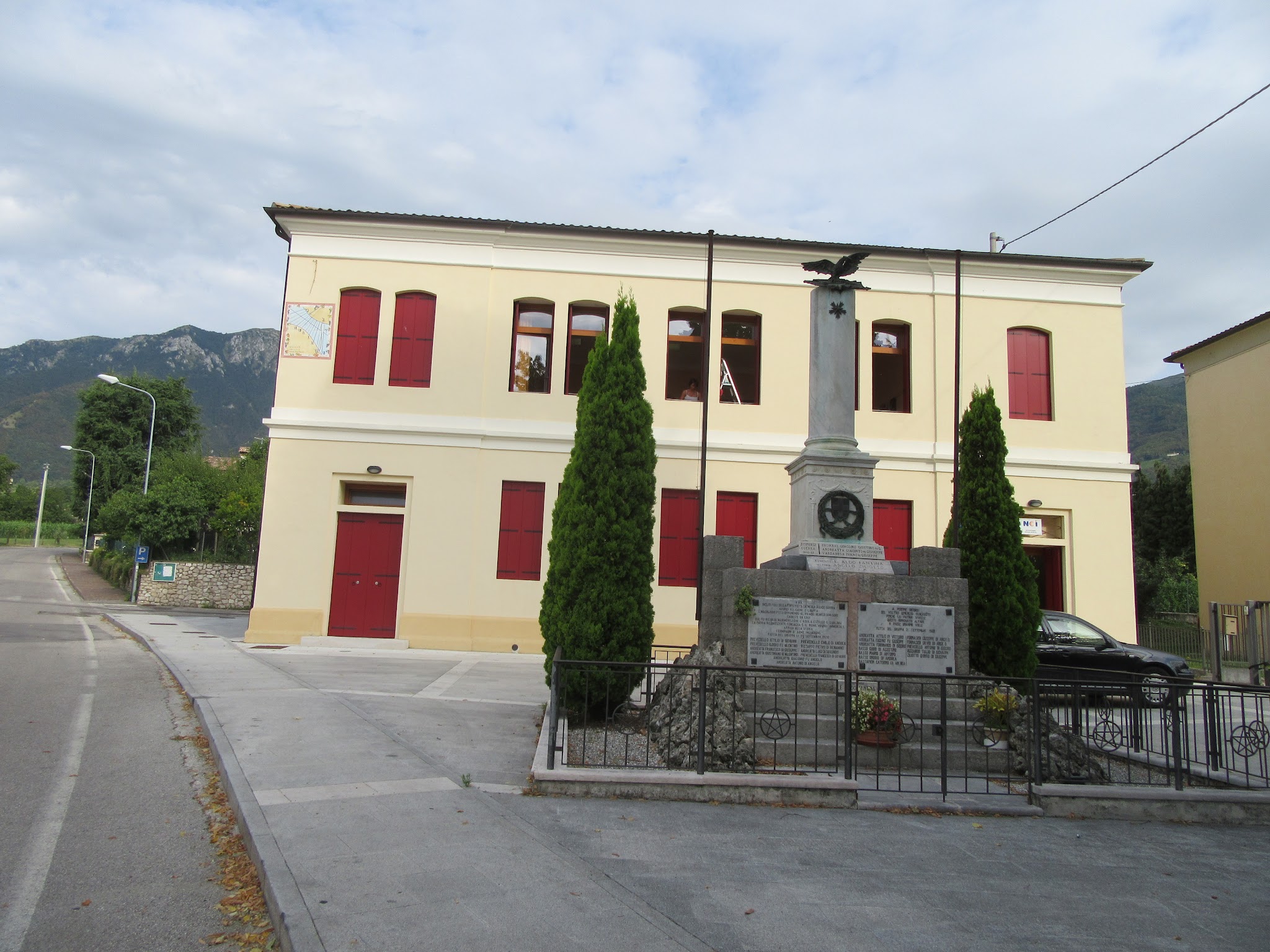
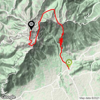
Fietta is one of eleven ascents up Monte Grappa in Italy's Veneto region, one of the most HC-climb-dense mountains anywhere. This route begins at the "T" intersection of Via Monte Grappa and Via Piave (SP 26) in the hamlet of Quattro Strade, just south of Fietta, and climbs 13.2 miles (21.2 km) and 5,115 feet (1559 m) to the Cima Grappa summit.
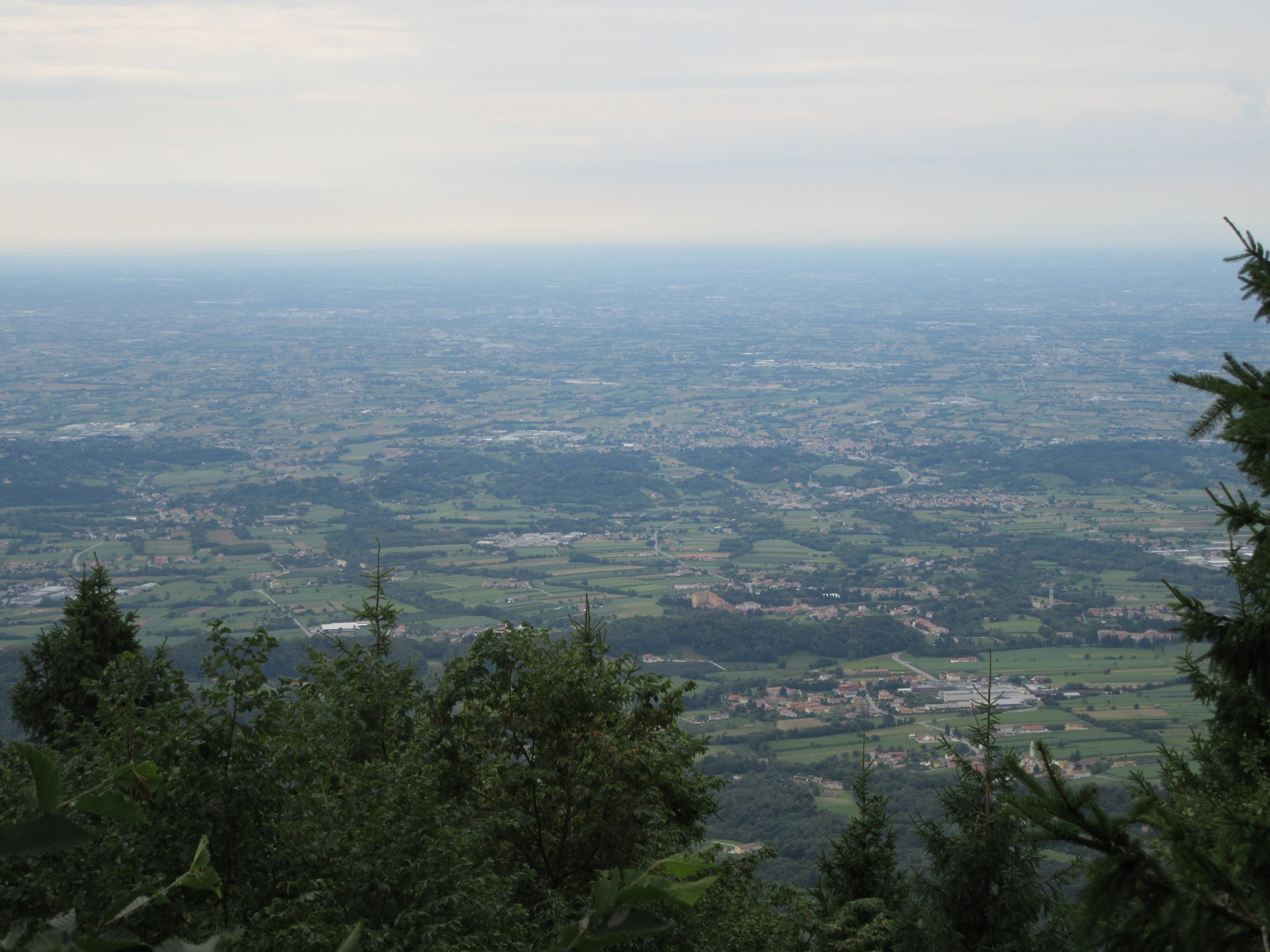
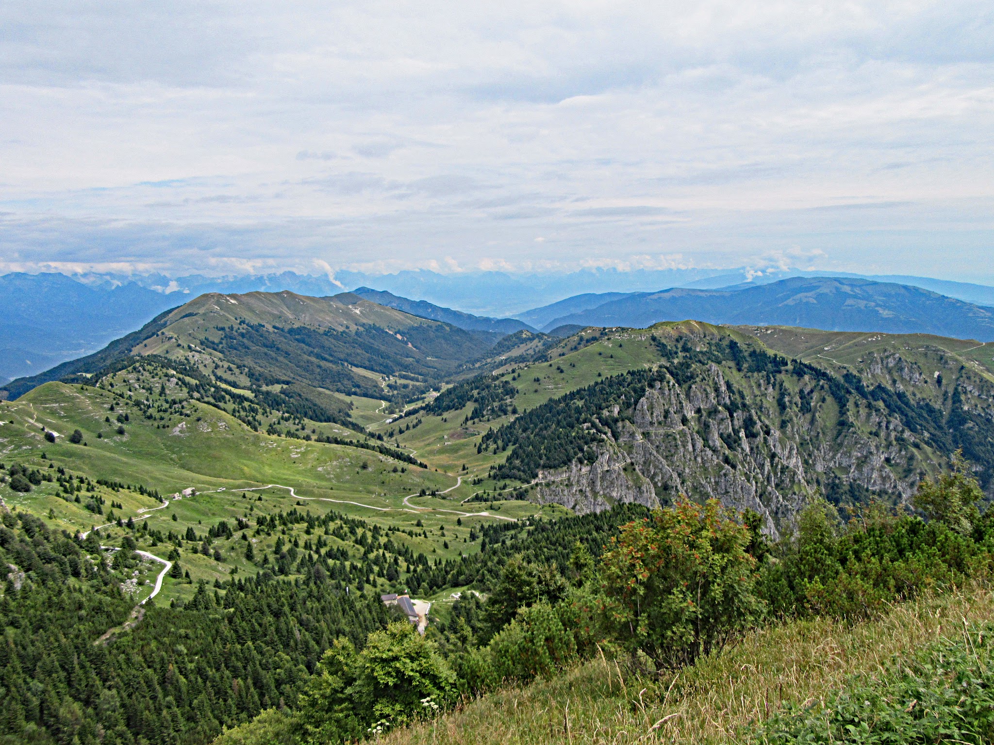
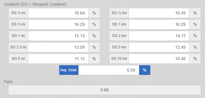
What sets Fietta apart from its ten sibling routes is how it opens: the first 5.8 miles (9.3 km) average a brutal 11.1%, including a stretch that touches 20% around mile 4.7 (km 7.5) and a steepest kilometer right at the 9.3 km mark that hits 16.3%. Layered on top is the highest concentration of switchbacks of any Monte Grappa ascent - 25 hairpins packed into a 4.5-mile stretch averaging 11.5%. Past mile 6.6 (km 10.6), the road clears the trees into open meadows and ranchland, with real views south toward Venice and the Adriatic, roughly 33 miles away as the crow flies.
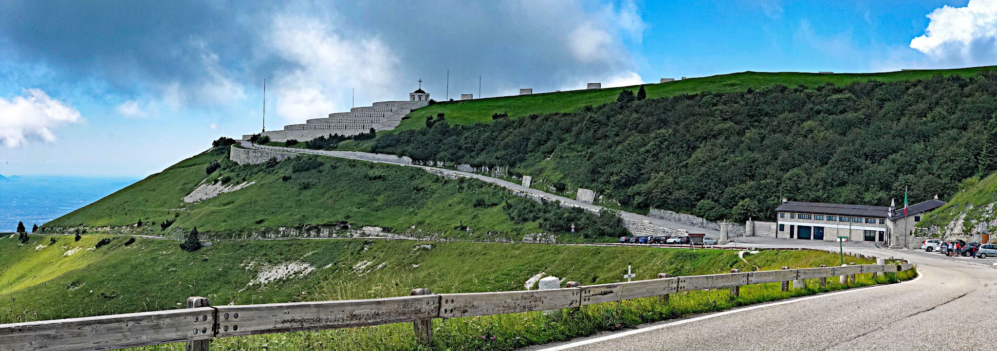
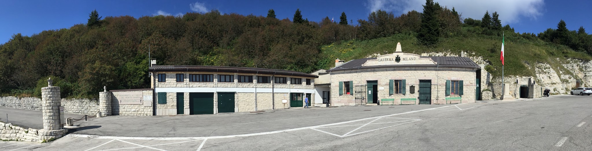
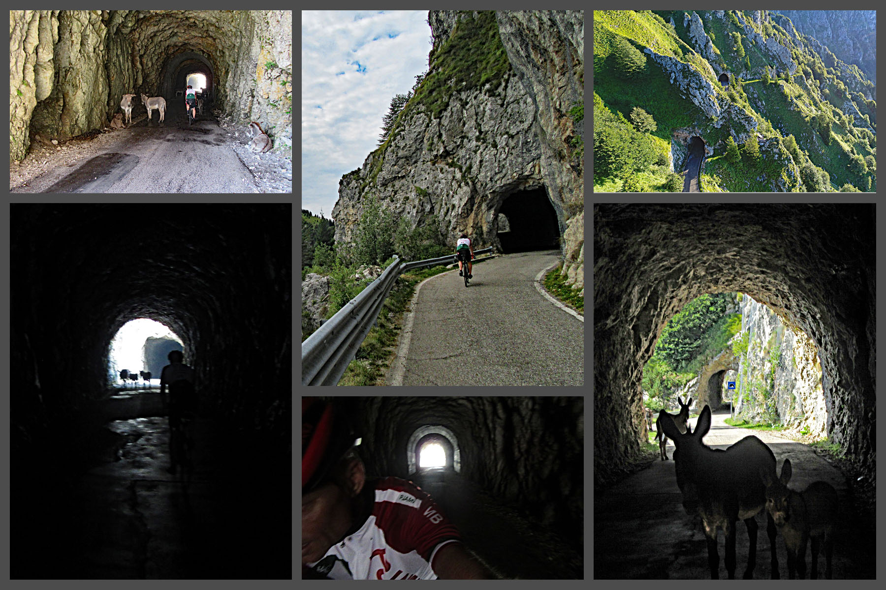
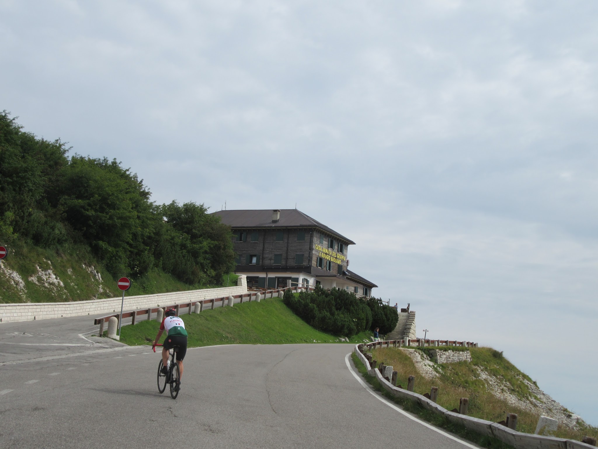
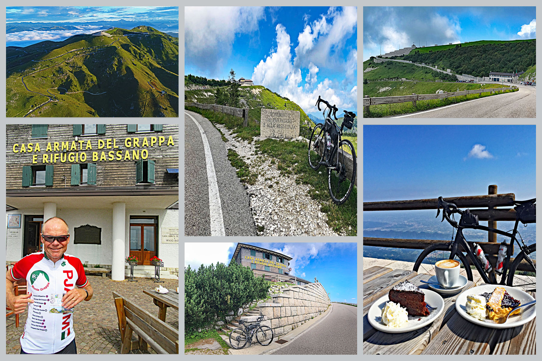
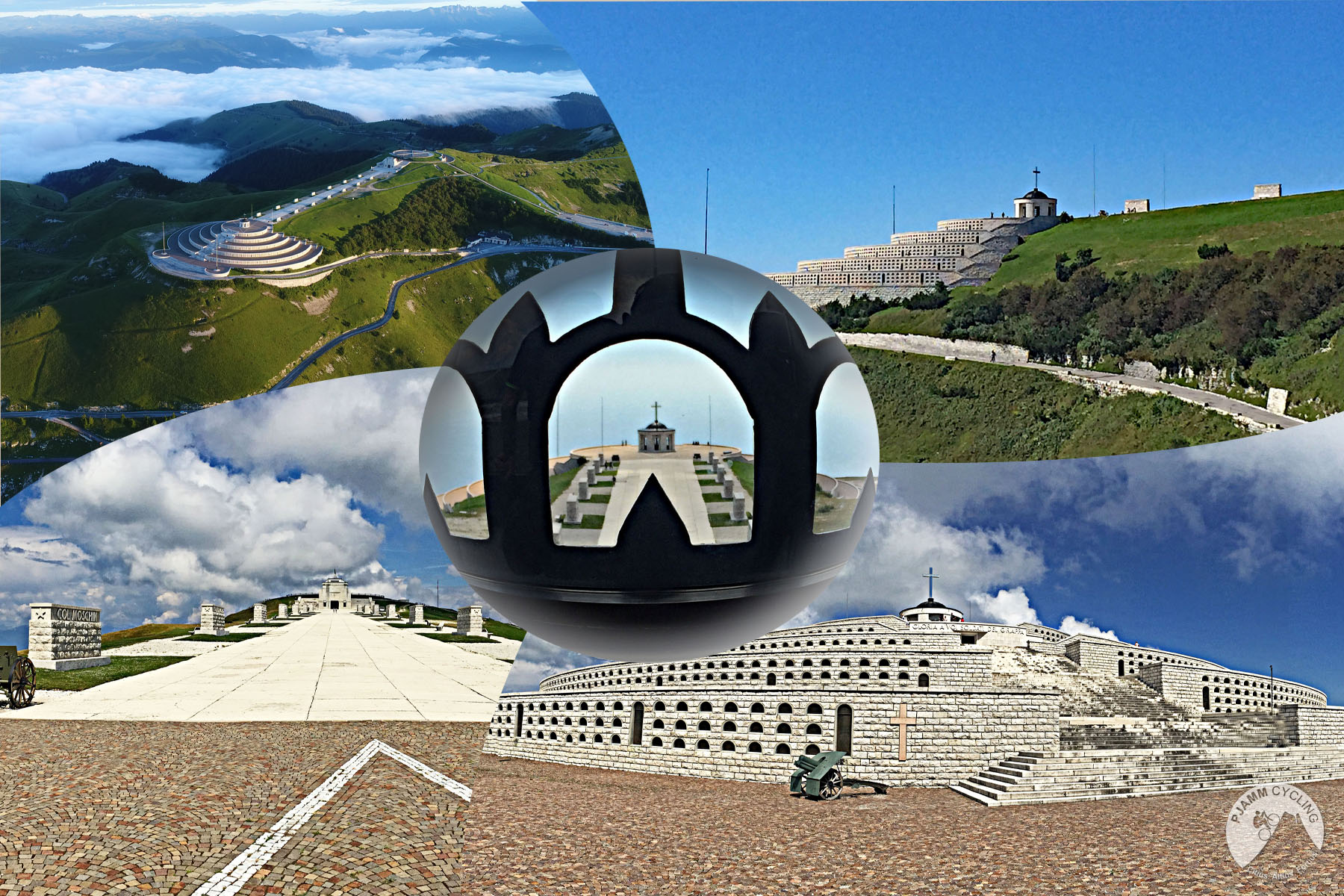
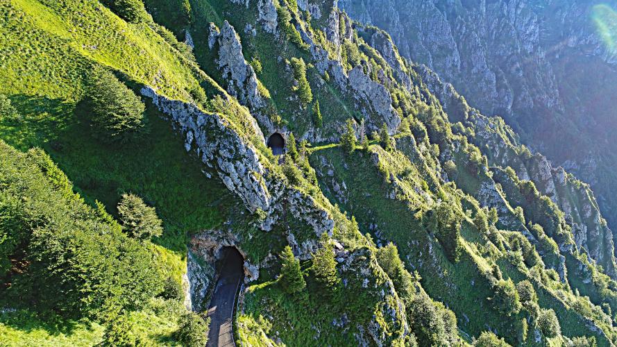
Around mile 10 (km 16), the route runs through four narrow, WWI-era tunnels cut into a cliffside military road - one of Fietta's signature stretches, detailed further in Roadway & Parking below. Like every route up Monte Grappa, Fietta finishes at Rifugio Bassano, just below the Sacrario del Monte Grappa, the WWI ossuary where roughly 22,190 Italian and Austro-Hungarian soldiers are interred.
Visit our Monte Grappa preloaded trip on the PJAMM Adventure App by clicking the PJAMM Trip button above.
PLAN YOUR ROUTE
 We've partnered with Sherpa-Map.com to bring you the best route planning tool. With a PRO Membership you can use this climb as a reference when creating your route.
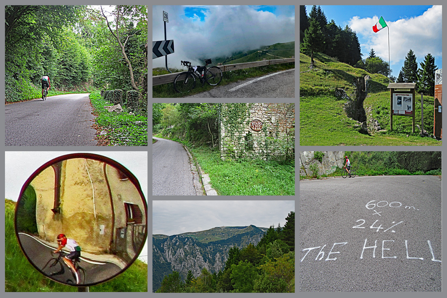
 Fietta climbs 13.2 miles (21.2 km) and gains 5,115 feet (1,559 m) for a whole-climb average of about 7.3%, but that average hides a very front-loaded profile. The first 5.8 miles (9.3 km) average 11.1%, with the steepest kilometer right at that mark hitting 16.3% and a short 20% ramp around mile 4.7 (km 7.5). The most switchback-dense section - 25 hairpins in a 4.5-mile stretch from roughly mile 2 to mile 6.5 (km 3.2-10.4) - averages 11.5%.
Past mile 6.6 (km 10.6), the grade eases considerably as the road leaves the trees for open meadowland, and the final miles into Rifugio Bassano are comparatively gentle. Riders who pace conservatively through the first third of this climb are rewarded with a much easier finish than the opening kilometers suggest.
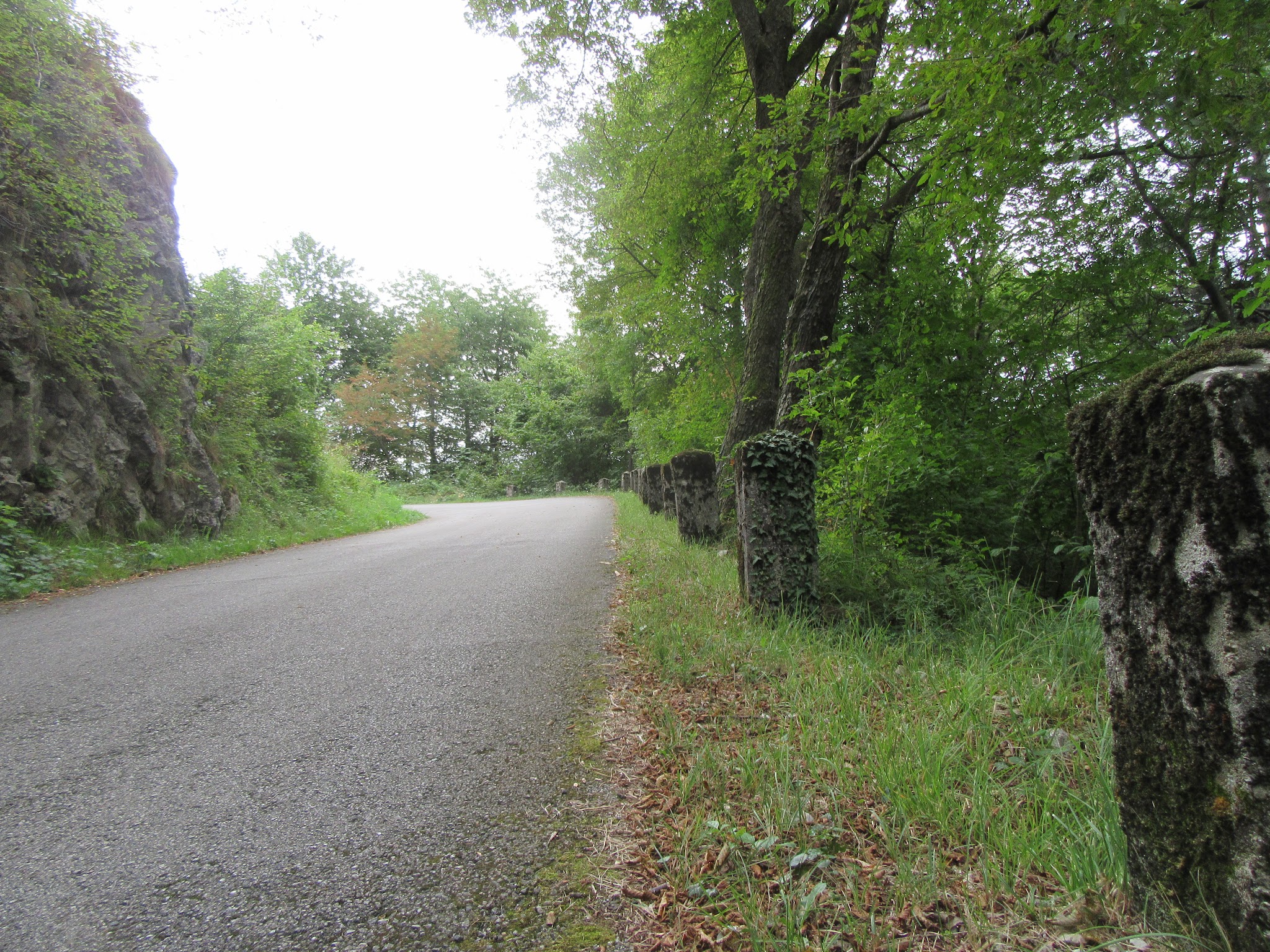
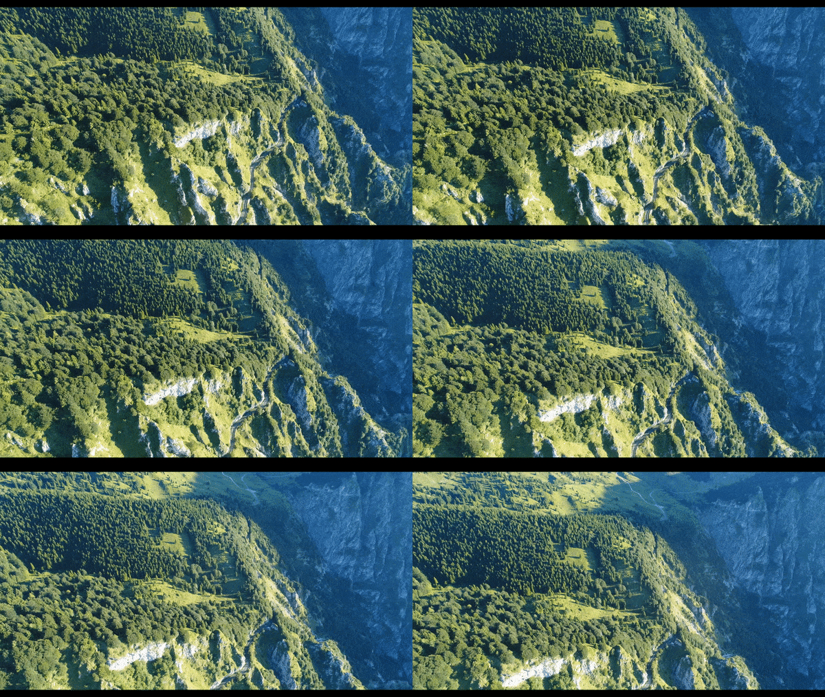
Roadway: The roadway is paved the entire way and has been in very good condition across PJAMM's multiple ascents, with rider reports as of 2026 continuing to describe solid pavement. Around mile 10 (km 16), the route runs through four narrow, WWI-era tunnels cut into a cliffside military road, with a sheer dropoff to the left for about a mile (1.6 km) beginning near mile 9.8 (km 15.7) - donkeys are often seen grazing in or near the tunnels. We found no confirmed 2026 closures on this stretch; as with any mountain road, check Provincia di Treviso's alerts before a trip.
Traffic: Traffic is light for most of the climb - Fietta sees a fraction of the volume of the popular Romano d'Ezzelino and Semonzo routes (roughly 300 Strava attempts versus 3,000, per our research). Traffic stays light through the wooded lower and middle sections and only picks up modestly near the final common stretch into Rifugio Bassano, where on most days there are more cyclists than motorists.
Parking: Quattro Strade is a tiny hamlet with no dedicated climb parking - riders typically leave a car along the shoulder near the Via Monte Grappa/Via Piave (SP 26) intersection where the climb begins. At the summit, informal pull-offs near Rifugio Bassano serve everyone finishing any of the eleven Monte Grappa routes.
Bike: A standard road bike is all you need - Fietta is paved from start to finish (unlike the gravel Crespano route up this same mountain). Gearing that lets you sit and spin through 11-16% pitches in the first half will make the day considerably more pleasant; the back half is much milder.
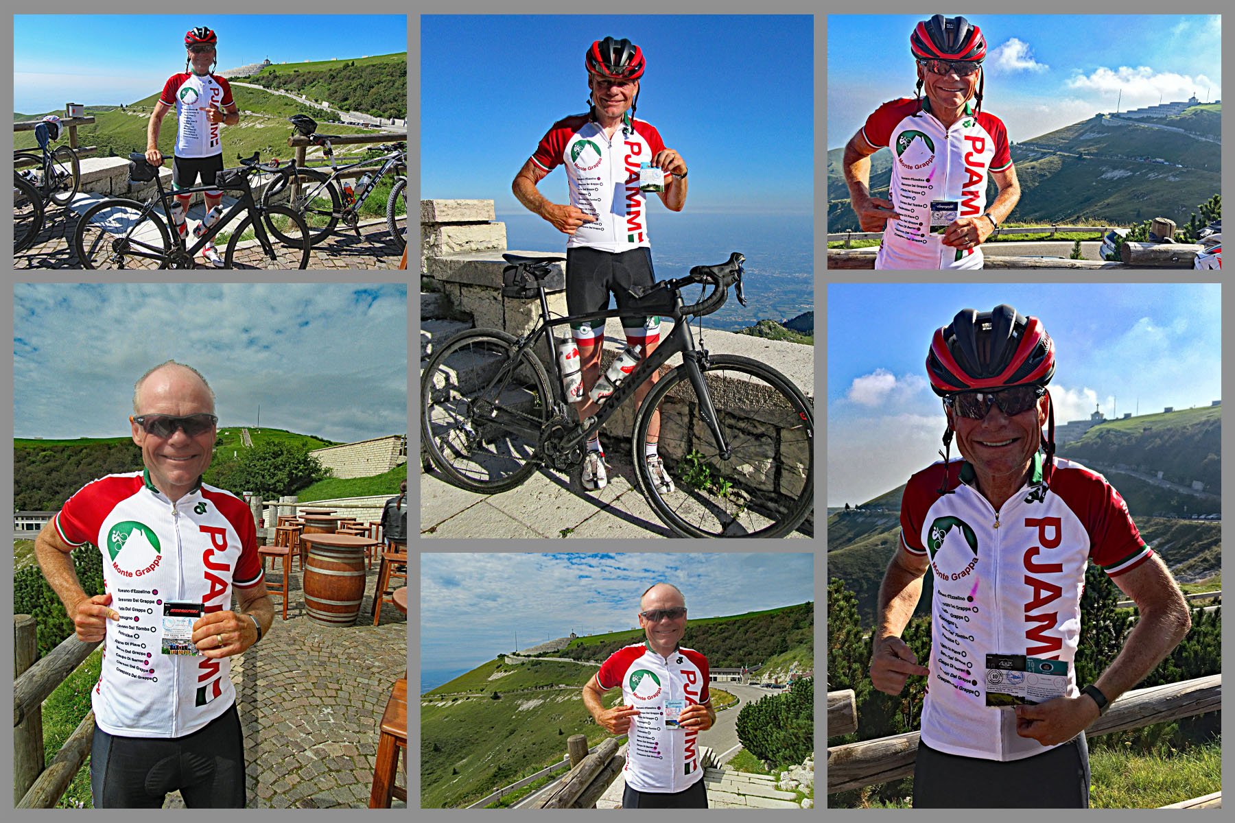
Food & water: Osteria da Miky (also known locally as Hoch Holle) in Fietta, the Brevetto del Grappa stamping stop for this route, is the last reliable place to fuel up before the climb. Rifugio Bassano at the summit has food and drinks for the ride back down.
Bring a layer for the summit - Cima Grappa sits at nearly 5,800 feet (1,775 m) and can be noticeably cooler and windier than the valley floor even in summer.
Before heading out on any cycling adventure check out our Things to Bring on a Cycling Trip and use our interactive check list to ensure you don't forget anything.
Osteria da Miky, on Via Sant'Andrea in Fietta, is this route's Brevetto del Grappa stamping stop - a characterful, wood-stove osteria that's served riders on this climb for years and remains open (closed Mondays) as of 2026. It's the natural staging point before the climb and a good spot to refuel after.
All eleven Monte Grappa routes converge at Rifugio Bassano, just below the Sacrario del Monte Grappa - the mountain's WWI ossuary and museum. It's worth the stop at the top regardless of which route you ride up; see our Crespano ascent for more on its history.
With ten other route options up this same mountain within a roughly 17-mile radius, our Routes in the Area tool is a good way to see what else is nearby if you're planning more than one day here.
ROUTE MAP
MEMBER RATING
CURRENT WEATHER
PJAMM TRIPS ADVENTURE STARTER BUNDLES
Check out PJAMM Adventure's prepackaged (self-guided) cycling trips. They will help you plan, document and conquer your next adventure.
NEARBY CLIMBS (0) RADIAL PROXIMITY
FROM No Climbs Found
MEMBER REVIEWS & COMMENTS
Let us know what you thought of this climb. Signup for our FREE membership to write a review or post a comment.
Already have an account?
LOG IN HERE