45.7
PDI
8.2 mi
DISTANCE
4,702 ft
GAINED
10.9 %
AVG. GRADE
FULL CLIMB STATS
INTRO
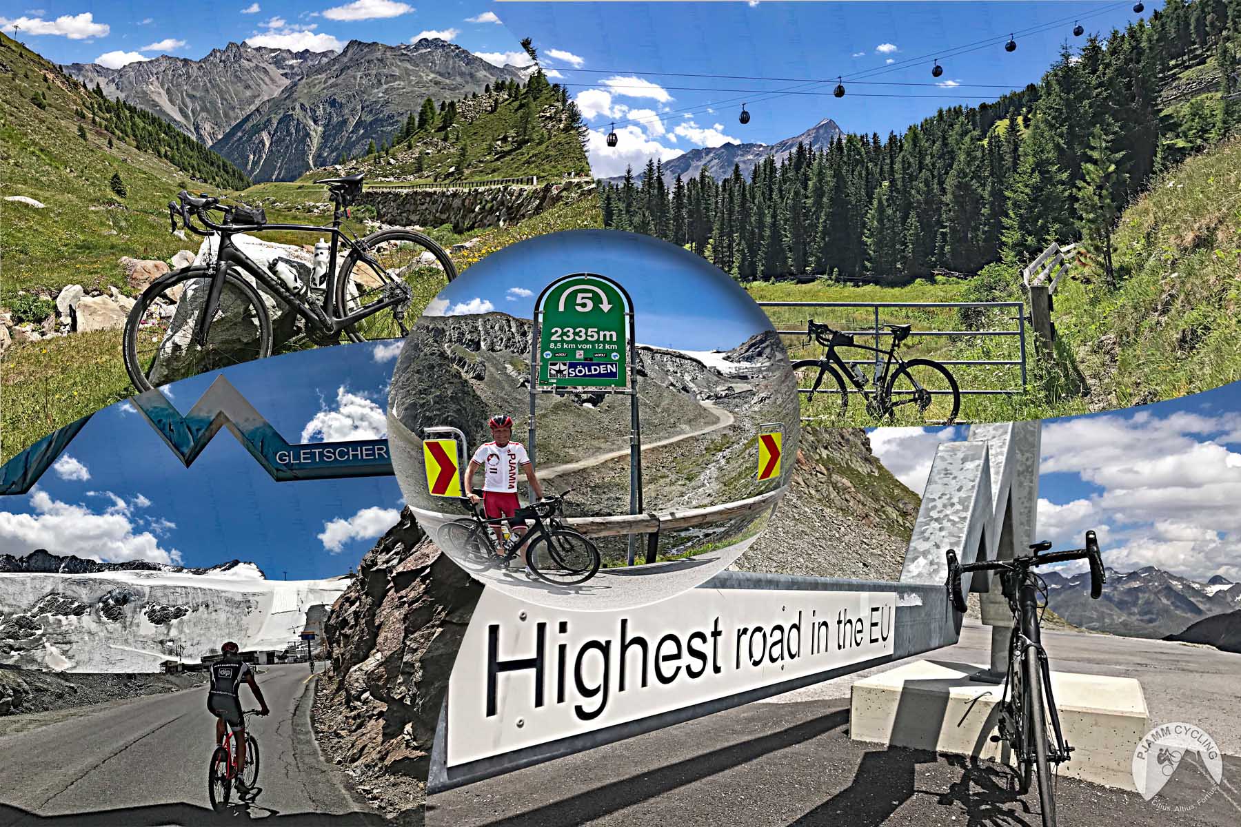
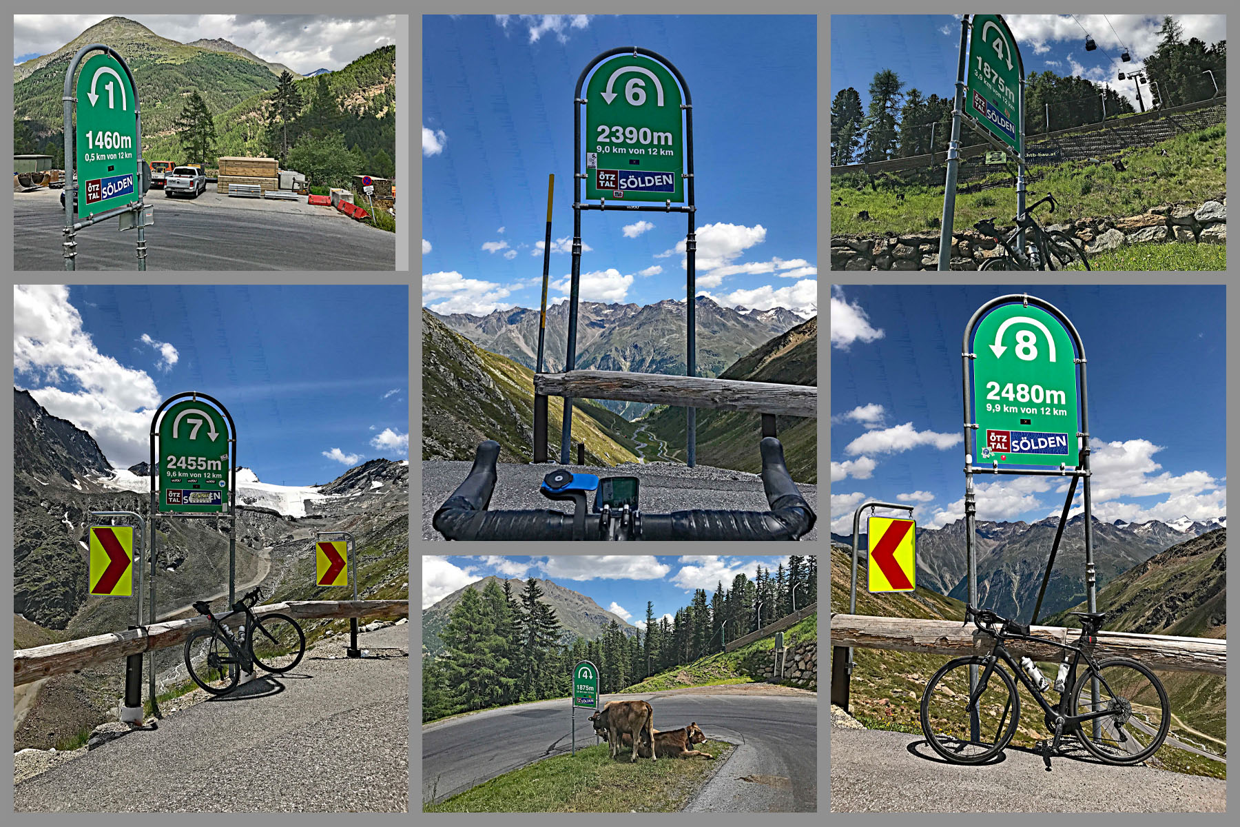
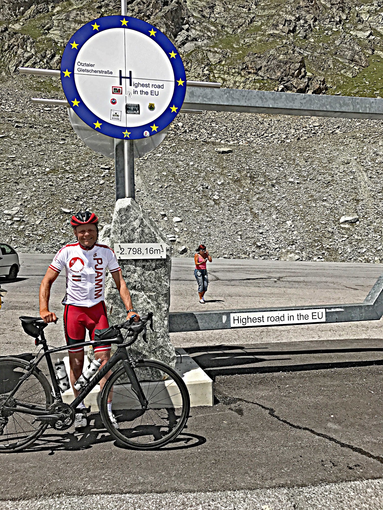
The Ötztal Glacier Road leaves Sölden at 1374 m and doesn't stop climbing until it reaches the mouth of a tunnel at 2793 m, cut into the rock between two glaciers. That's 1433 m (4702 ft) in 13.2 km (8.2 mi) at 10.9%, enough to put this road in the top 100 climbs in the world. It tested us from start to finish, and it's worth the trip to Sölden for the climb alone.
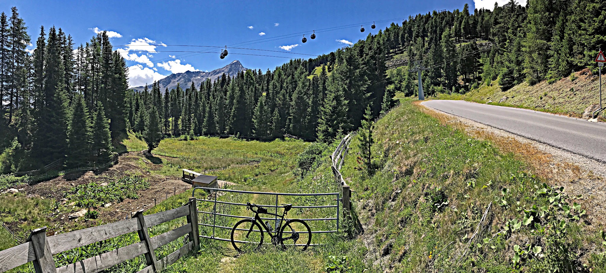
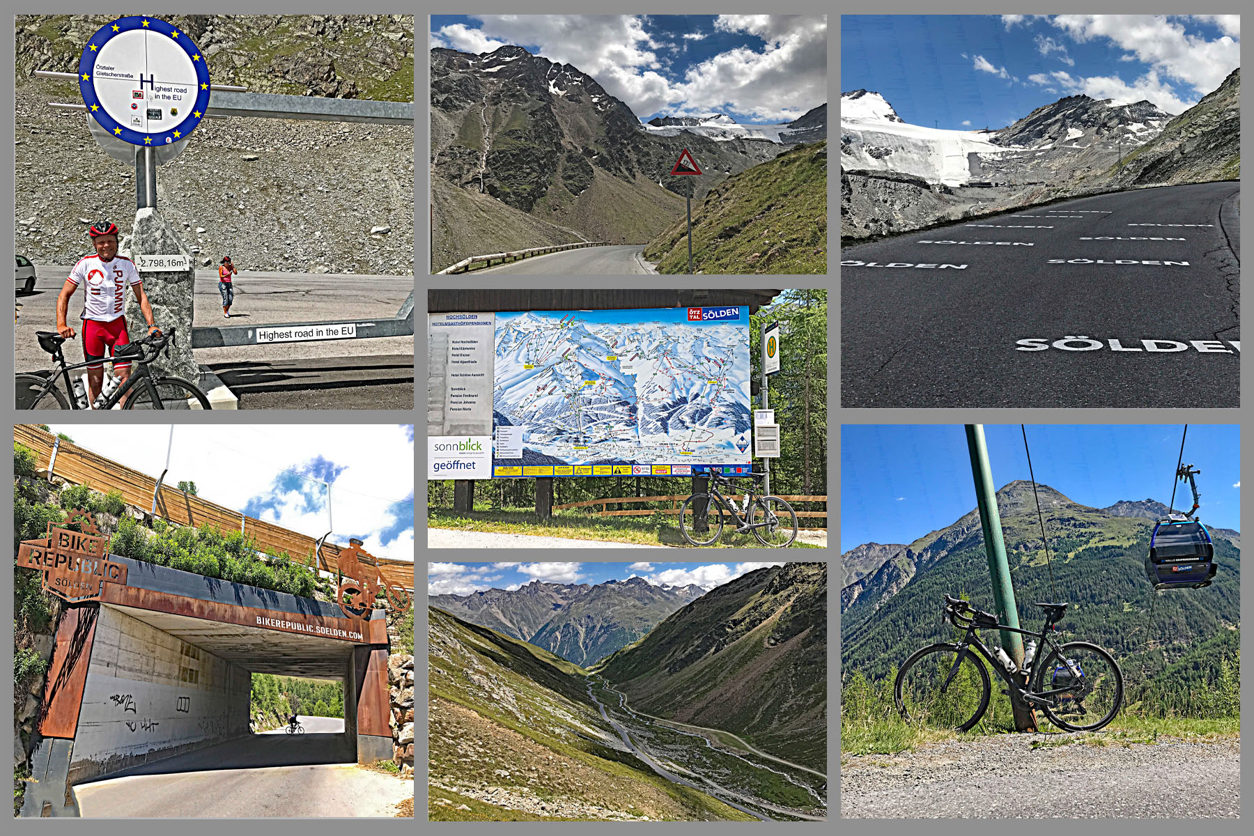
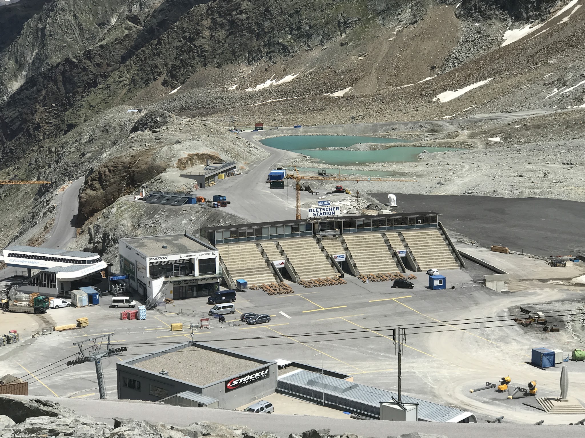
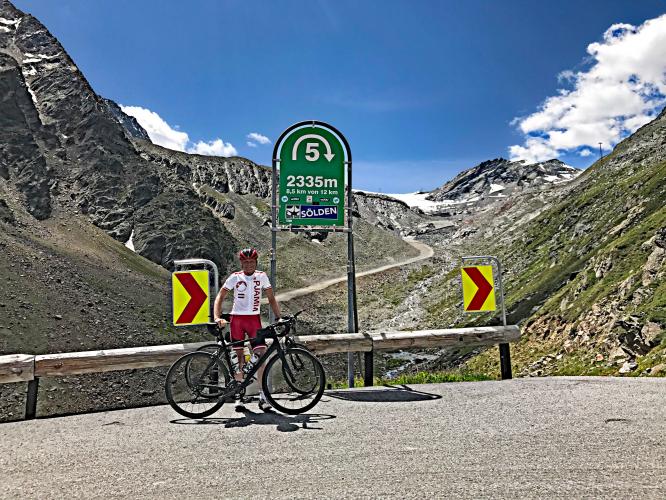
It's steep from the first hairpin. The opening 5 km out of Sölden run at 11-13%, there's one easier kilometer around the toll station near km 6, and then it's back to 10-12% all the way up. The trees thin out and you climb into bare rock and scree, with the glacier in view long before you reach it. At about km 12 you arrive at the Rettenbach glacier ski area (2675 m) - lifts, a huge car park and a restaurant - and the last kilometer carries on up to the portal of the Rosi Mittermaier Tunnel.
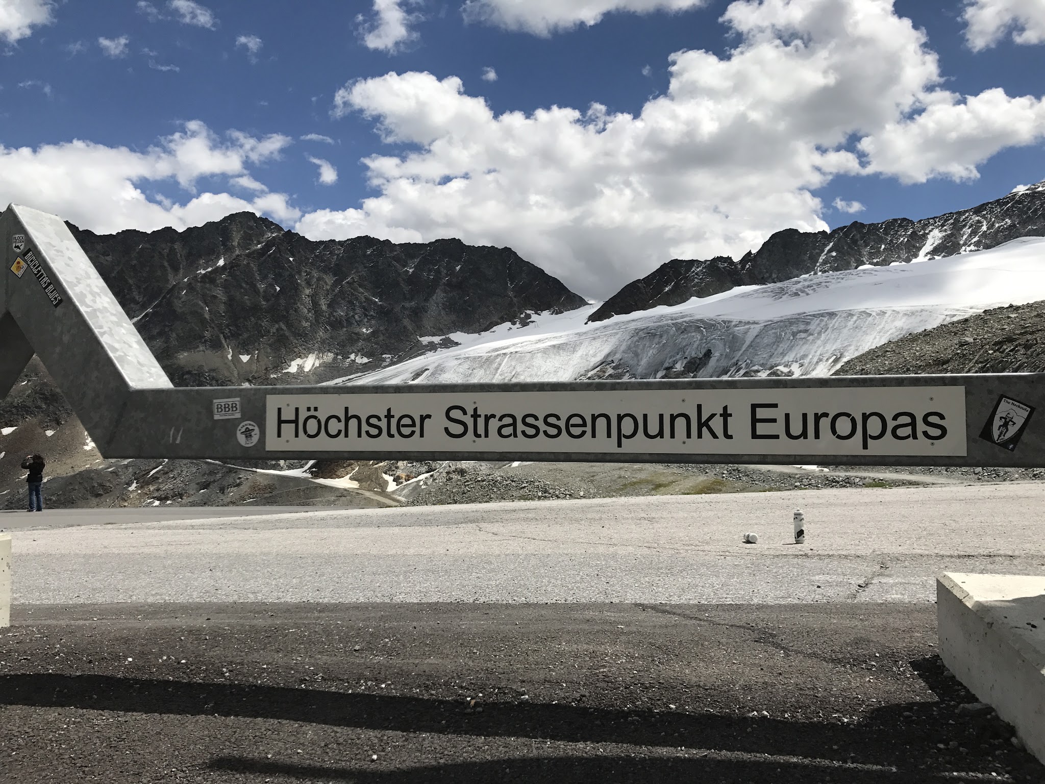
Every October the alpine skiing World Cup opens its season with giant slalom races on the Rettenbach glacier, so the finish area may look familiar from TV. If you still have legs, the 1.8 km tunnel, Europe's highest road tunnel at 2830 m, leads through to the Tiefenbach glacier - it's dimly lit, so bring lights.
PLAN YOUR ROUTE
 We've partnered with Sherpa-Map.com to bring you the best route planning tool. With a PRO Membership you can use this climb as a reference when creating your route.
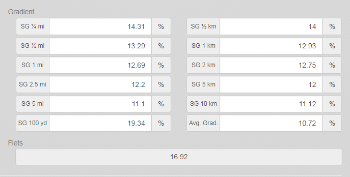
10.9% average grade over 13.2 km. 52% of the climb is at 10-15% and 13% is at 15-20%. The steepest 500 m is 14.8% and the steepest kilometer 13.6%, both in the first 5 km above Sölden. The only real breather is around km 5-6 by the toll station, at about 7%.
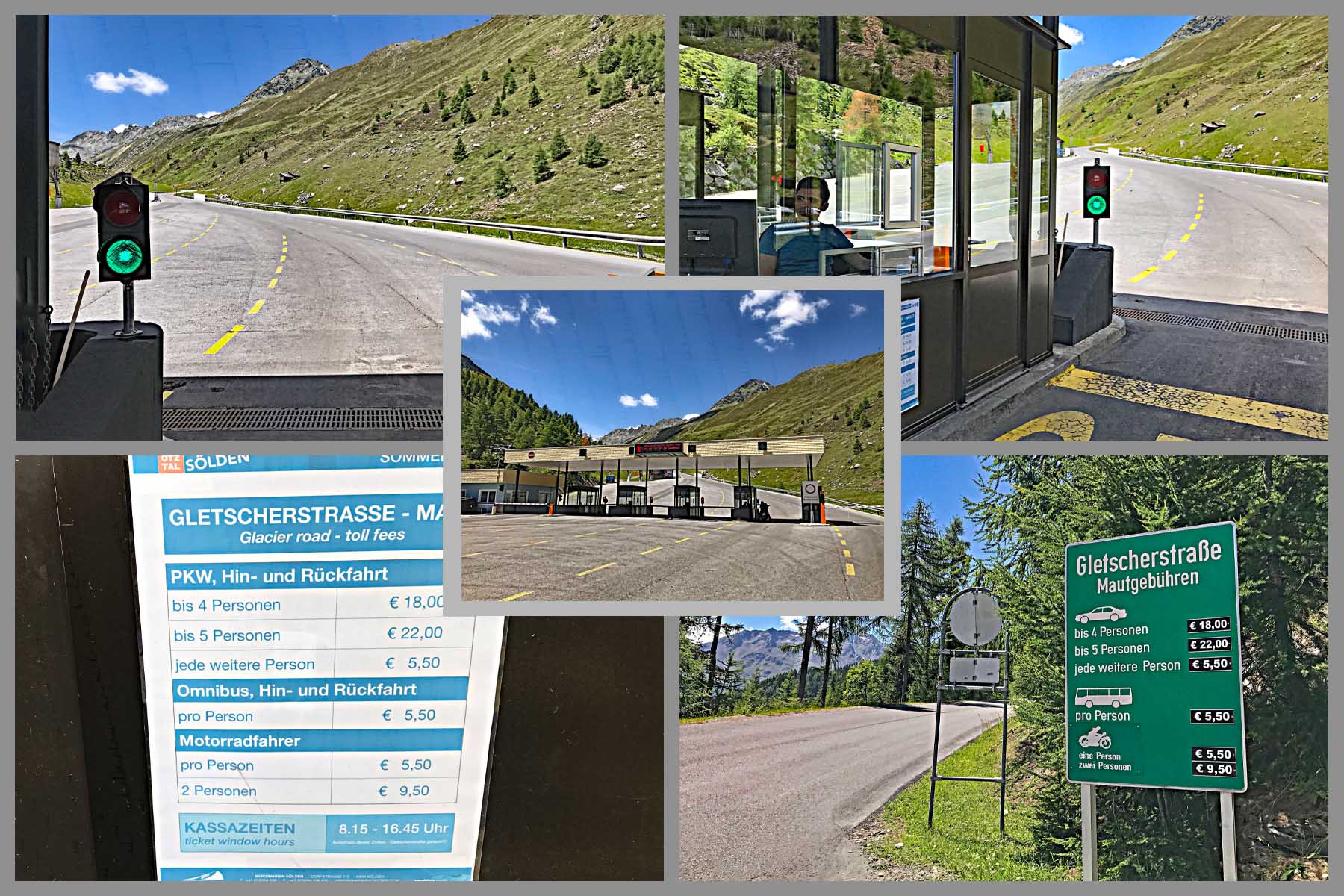
Roadway: Smooth asphalt with no center line or shoulder. The first 6 km are on the public road above Sölden; from the toll station at about km 6 it's the Ötztal Glacier Road, which is toll-free for cyclists. The road is normally rideable from early June to early October, depending on the winter's snow, and it can close at short notice for avalanche danger or fresh snow - check soelden.com before you go.
Traffic: Moderate. Sightseers and coaches heading for the glacier, plus skiers in autumn, heaviest in mid-morning. There's no through traffic, so everything you meet is going up or coming back down.
Parking: There's parking just up the Gletscherstraße, 1 km from the start. In Sölden itself the car parks at the Gaislachkoglbahn and Giggijochbahn lift stations are free during the day.
Provisions: Sölden has everything. On the climb, the Rettenbach Market Restaurant at the ski area around km 12 is a big self-service place with a sun terrace and the table-service Gletschertisch upstairs. It opens in mid-August and runs through the ski season to early May, so earlier in the summer head through the tunnel to the Tiefenbach Gletscher Restaurant instead.
Gear: Front and rear lights if you plan to ride the tunnel. The finish is close to 2800 m, so check our Weather tool for the top before you set off - it can be near freezing at the portal when Sölden is warm - and pack a windproof for 13 km of steep descending.
Before heading out on any cycling adventure check out our Things to Bring on a Cycling Trip and use our interactive check list to ensure you don't forget anything.
Sölden is a full ski-resort town, so beds, food and bike shops are easy to find. It's also the start of the Timmelsjoch, the high pass road to Italy, which makes the obvious second day here; that page covers the toll station's motorcycle museum and the bus over the top.
Trains stop at Ötztal station in the Inn valley, with buses up the valley to Sölden. The Ötztaler Radmarathon starts and finishes in town at the end of August, so expect a full town that weekend and road closures through the valley on race day.
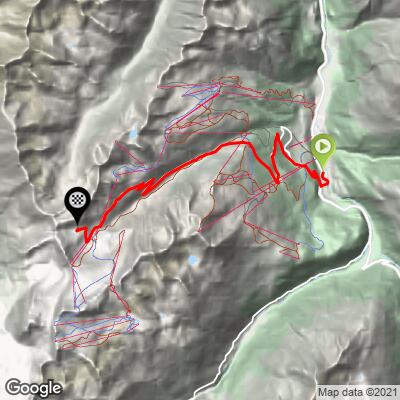
ROUTE MAP
MEMBER RATING
CURRENT WEATHER
PJAMM TRIPS ADVENTURE STARTER BUNDLES
Check out PJAMM Adventure's prepackaged (self-guided) cycling trips. They will help you plan, document and conquer your next adventure.
NEARBY CLIMBS (0) RADIAL PROXIMITY
FROM No Climbs Found
MEMBER REVIEWS & COMMENTS
Let us know what you thought of this climb. Signup for our FREE membership to write a review or post a comment.
Already have an account?
LOG IN HERE