22.8
PDI
14.7 mi
DISTANCE
4,206 ft
GAINED
4.7 %
AVG. GRADE
FULL CLIMB STATS
INTRO
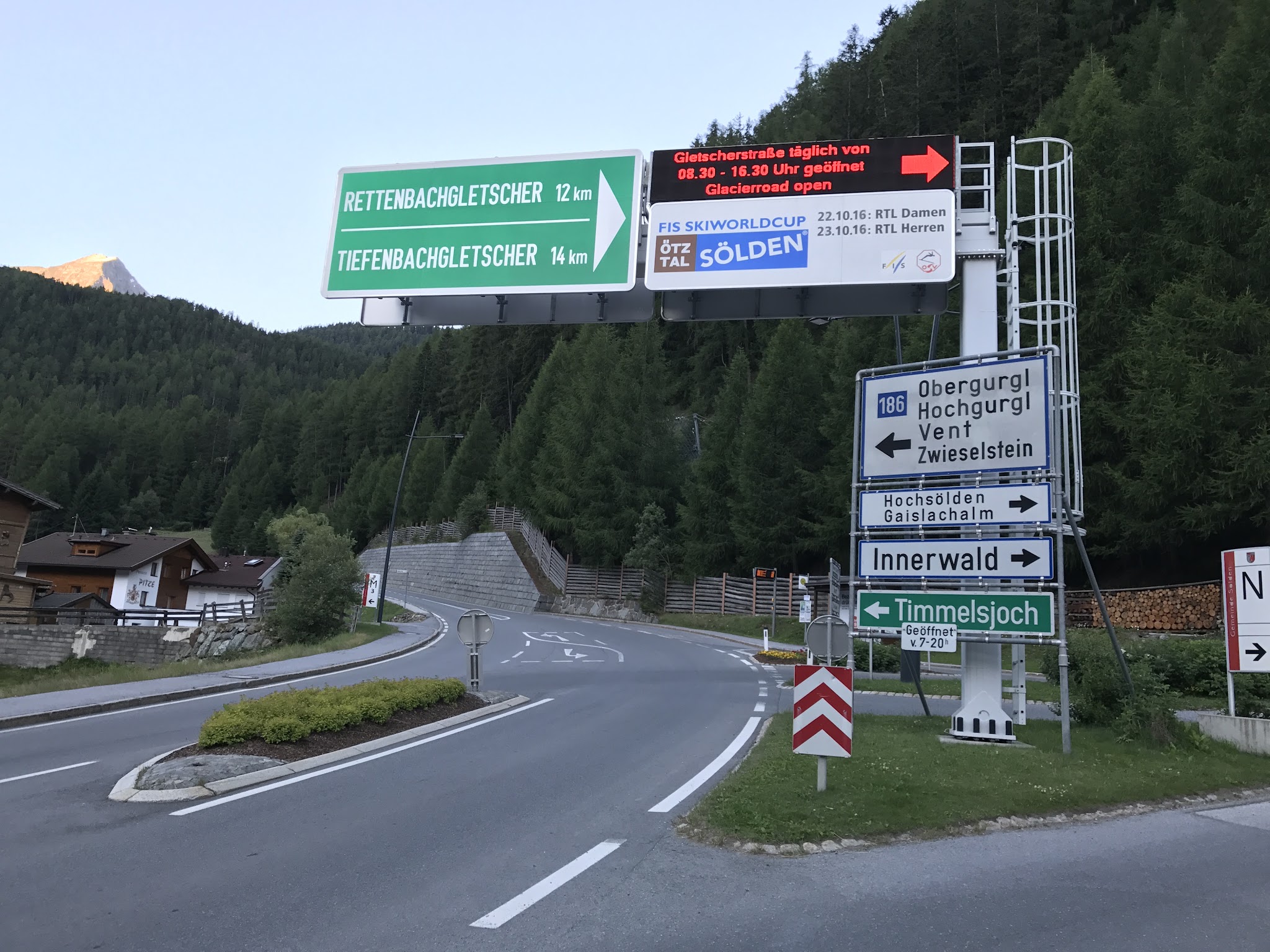
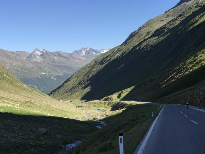
The Timmelsjoch - Passo del Rombo on the Italian side - is the high pass on the Austria-Italy border at the head of the Ötztal, and this is its Austrian approach. From Sölden the climb covers 23.7 km (14.7 mi) and gains 1282 m (4,206 ft) at a 4.7% average to the pass at 2474 m (8,117 ft), one of the highest paved road passes in the Eastern Alps.
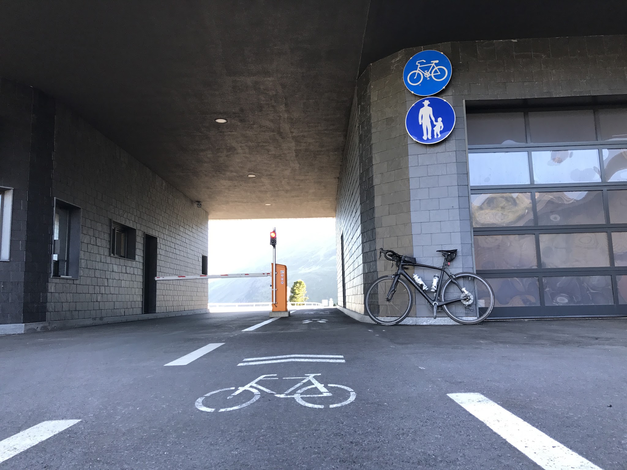
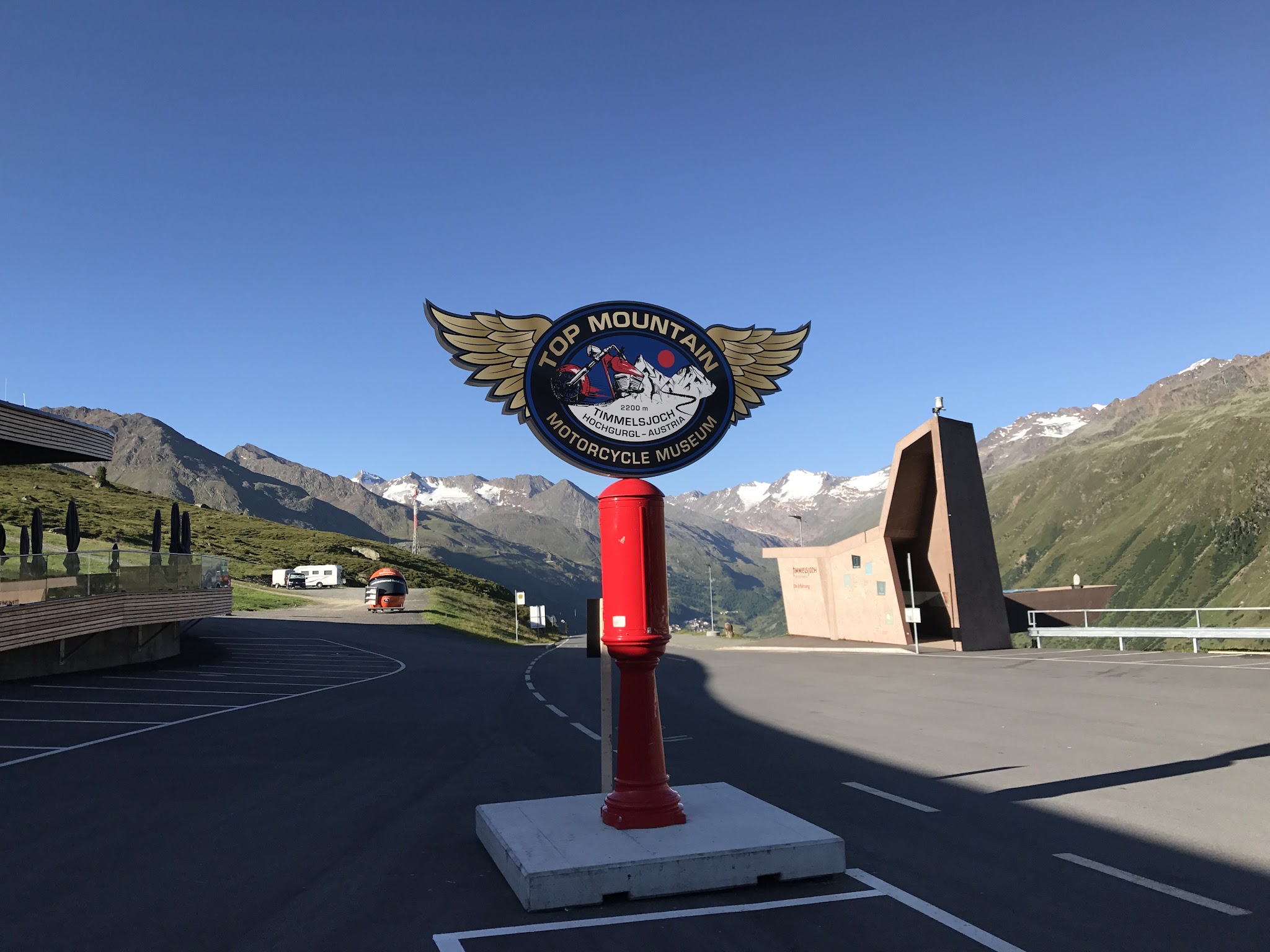
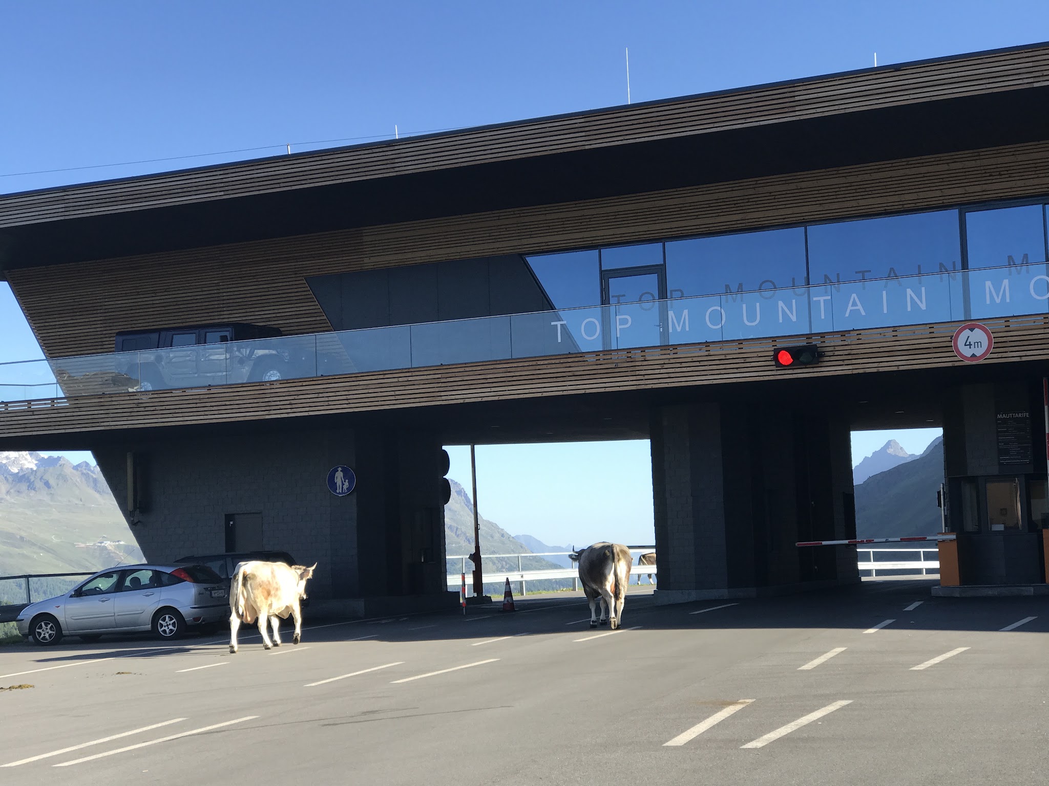
That modest average is deceptive. The first 12 km up the Ötztal are mostly gentle, but once you turn onto the High Alpine Road the climb gets serious above the tree line past Hochgurgl, among scree slopes and glacier views. At the toll station (2175 m / 7,136 ft) - home to the Top Mountain Crosspoint and Europe's highest motorcycle museum - cyclists roll through free in their own lane. A short descent into the Timmelstal follows, and then the hardest part: a final 4.9 km (3.0 mi) at about 9% up a staircase of hairpins to the border.
The Timmelsjoch is the lowest unglaciated gap in the main Alpine ridge between the Reschen and Brenner passes and was first documented in 1241. The road reached the pass in 1959 and opened through to South Tyrol in 1968. The Giro d'Italia crossed it in 1988, and every year it's the final climb of the Ötztaler Radmarathon before the descent to the Sölden finish. Check summit conditions with our Weather tool before you go.
PLAN YOUR ROUTE
 We've partnered with Sherpa-Map.com to bring you the best route planning tool. With a PRO Membership you can use this climb as a reference when creating your route.
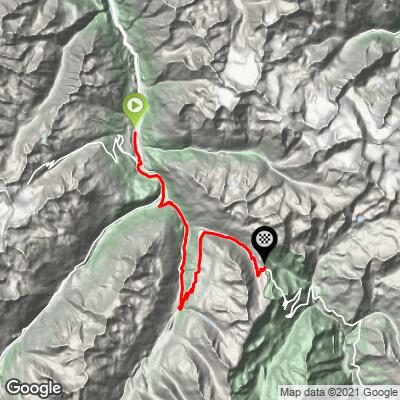
 From Sölden at 1360 m (4,462 ft), the climb covers 23.7 km (14.7 mi) and gains 1282 m (4,206 ft) at an average of 4.7%, with about 161 m (528 ft) of descending along the way. It's really a long valley approach followed by a hard alpine finish.
The first 12 km (7.5 mi) up the Ötztal via Zwieselstein are mostly gentle, with a couple of flat or slightly downhill kilometers and one steep kilometer at 10.1% around km 6. Kilometers 13 through 15, climbing toward Hochgurgl, average between 7.9% and 10.2% and bring you to the toll station at 2175 m (7,136 ft) around km 16.6.
Beyond the toll the road drops about 125 m (410 ft) into the Timmelstal - a real chance to recover - before the final 4.9 km (3.0 mi) to the pass, where every kilometer averages between 9.0% and 9.6%.
The steepest kilometer averages 10.3%, the steepest 0.5 km 11.1%, the steepest 2 km 9.6%, and the steepest 5 km 8.7%.
Roadway: Paved throughout and well maintained. The High Alpine Road is 4-6 m wide with grades up to 13% in places. It's a seasonal road: snow clearing starts in April, the earliest opening is usually late May (mid-May in low-snow years like 2026), and the winter closure normally begins from late October. In season it's open daily from 7:00 to 20:00. The toll applies to motor vehicles only; cyclists ride free, at their own risk, and working bike lights are mandatory on the High Alpine Road. Check timmelsjoch.com for current status before you go.
Traffic: Moderate to heavy in summer. The B186 through Sölden and Zwieselstein carries steady valley traffic, and the High Alpine Road is a major motorcycling destination - the 2025 season saw about 112,500 cars and 80,400 motorcycles. On Ötztaler Radmarathon day (30 August in 2026) the road closes to traffic from 11:00 to 19:30.
Parking: Sölden has large car parks at the Gaislachkoglbahn and Giggijochbahn lift stations; our Rettenbachferner page covers parking at the glacier road.
Provisions: Sölden has everything you need before you start. Higher up, the restaurant at the Top Mountain Crosspoint by the toll station (open daily 9:00-17:00 in season) is the one dependable food and drink stop on the High Alpine Road.
Gear: Lights are mandatory for cyclists on the High Alpine Road, so bring a working front and rear light even on a sunny day. Pack warm layers and a windproof for the pass and the descent - at 2474 m the weather can be far colder and windier than in Sölden, and snow can linger beside the road well into summer. Compact gearing helps on the final 4.9 km at 9%.
Before heading out on any cycling adventure check out our Things to Bring on a Cycling Trip and use our interactive check list to ensure you don't forget anything.
The toll station's Top Mountain Crosspoint is worth a stop on the way back down: its motorcycle museum displays around 230 motorcycles, and the restaurant terrace looks out over the Ötztal Alps. Along the road, the Timmelsjoch Experience is a series of architectural installations - the Steg at the toll station, the Smuggler in the Timmelstal, and the Pass Museum at the summit - that tell the story of the old trade and smuggling route over the pass.
Getting here without a car is easy: trains stop at Ötztal station in the Inn valley, and regular buses run up the valley to Sölden (about 1 to 1.5 hours). Holders of the Ötztal Inside Summer Card can ride the public bus over the Timmelsjoch free, which opens up one-way options.
Sölden is also the base for the brutal Rettenbachferner glacier road, and over the top our Passo del Rombo page covers the long, tunnel-filled Italian side down to the Passeier valley.
ROUTE MAP
MEMBER RATING
CURRENT WEATHER
PJAMM TRIPS ADVENTURE STARTER BUNDLES
Check out PJAMM Adventure's prepackaged (self-guided) cycling trips. They will help you plan, document and conquer your next adventure.
NEARBY CLIMBS (0) RADIAL PROXIMITY
FROM No Climbs Found
MEMBER REVIEWS & COMMENTS
Let us know what you thought of this climb. Signup for our FREE membership to write a review or post a comment.
Already have an account?
LOG IN HERE
Horse


Hi, This is Lorcán on my Daddy's account as I am 6 years old
This was the third climb I completed in August 2022 but my first in the Alps.
It is a long climb with a few tricky sections, road works and steep ramps on some of the turns and the road surface is a little broken, but not so hard up to the cross point or Motor cycle museum. From there you have a 2km down hill stretch and it was really cold as we started early morning. I could not wait to climb.
The last 5km are a steady 8.5% to 11% that only give you ease on the wide corners. It is hard but not every alpine climb crosses the border and the chips and hot chocolate in the café at the top tasted so good.