45.7
PDI
8.2 mi
DISTANCE
4,702 ft
GAINED
10.9 %
AVG. GRADE
FULL CLIMB STATS
INTRO
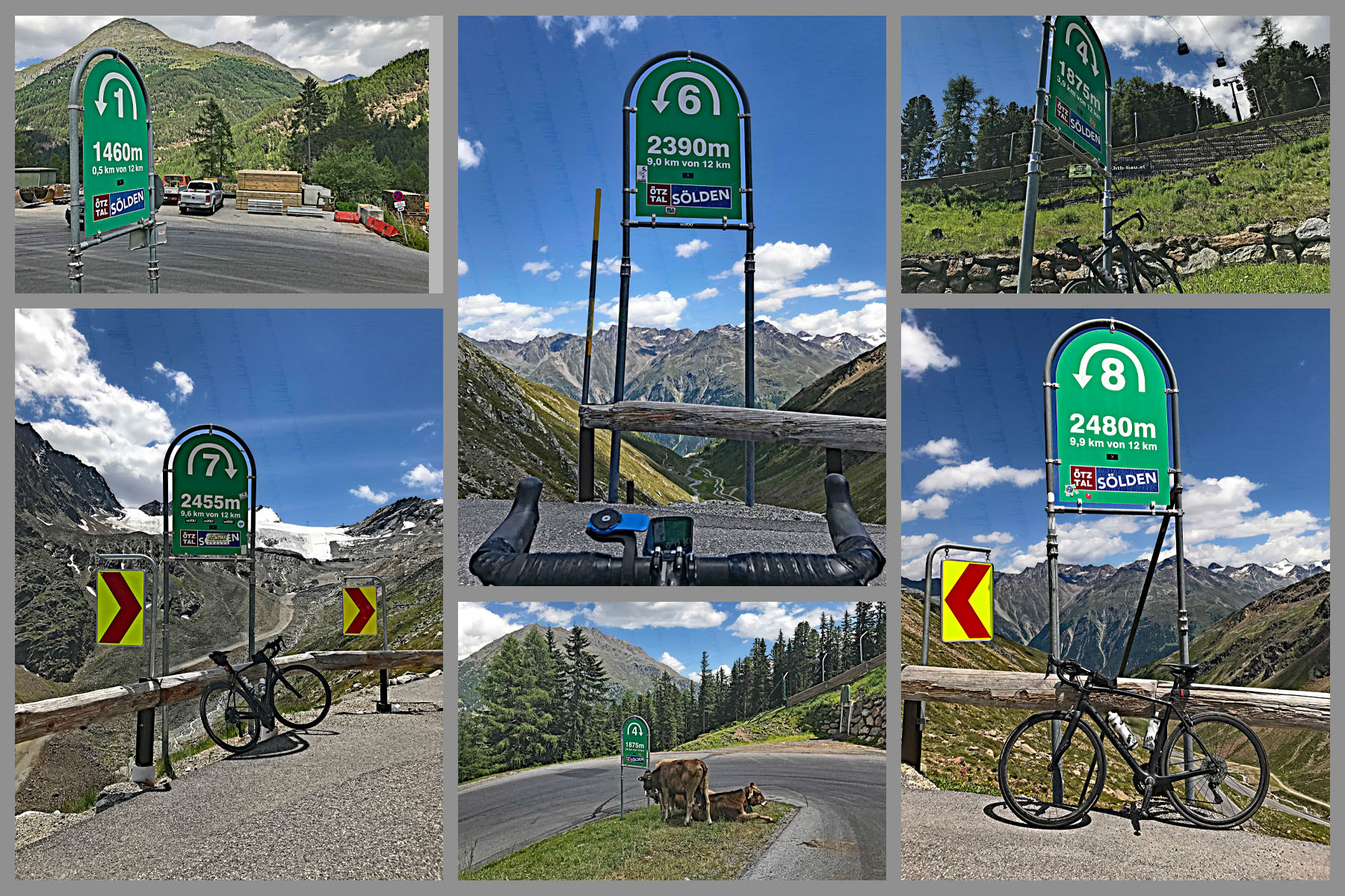
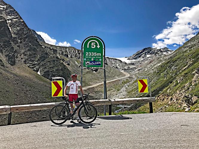
This is an amazing climb that has many features to it - it is not just another pretty face! First, the Rettenbachferner is a Top 100 World Climb and simply a brute! At just over eight miles, it averages 10.7% grade and has a 2.5 mile stretch averaging just over 12%! It really tests us from start to finish and is well worth the trip to Sölden just for the challenge of the climb itself.
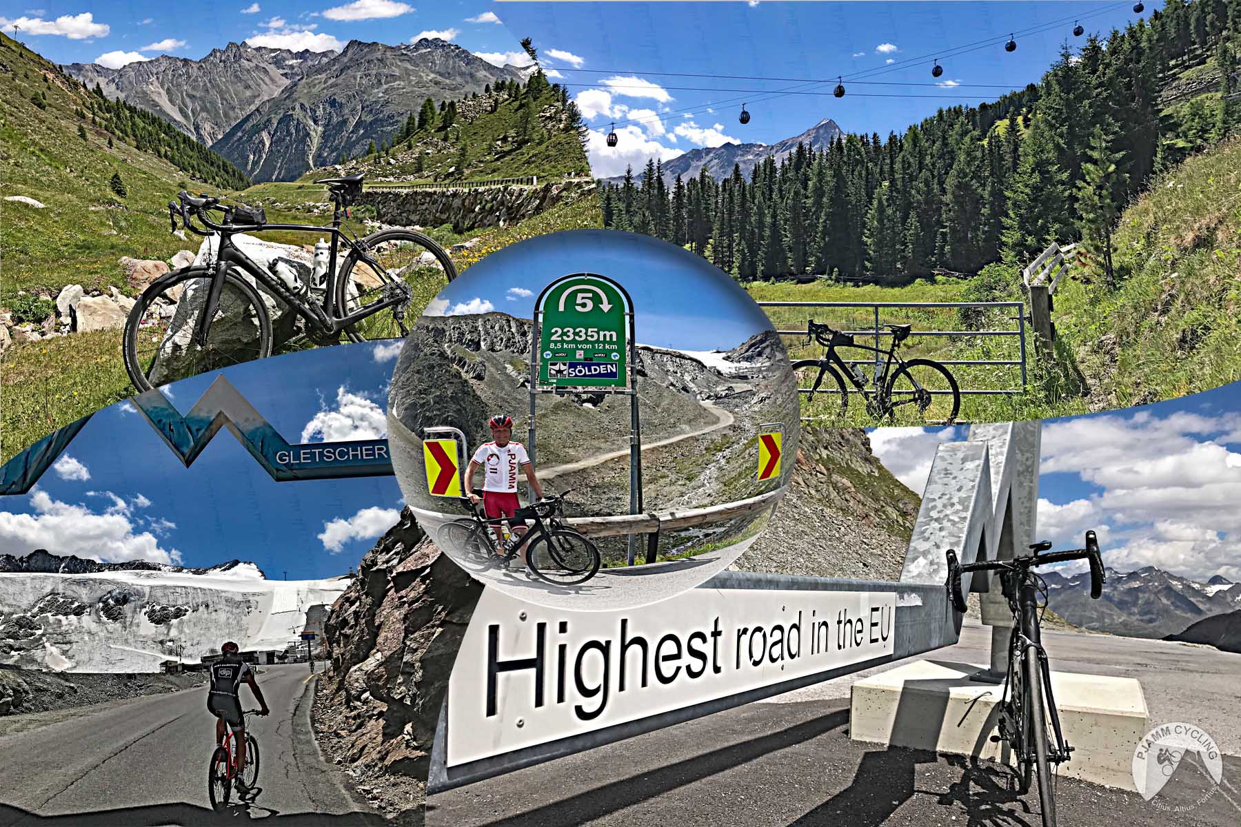
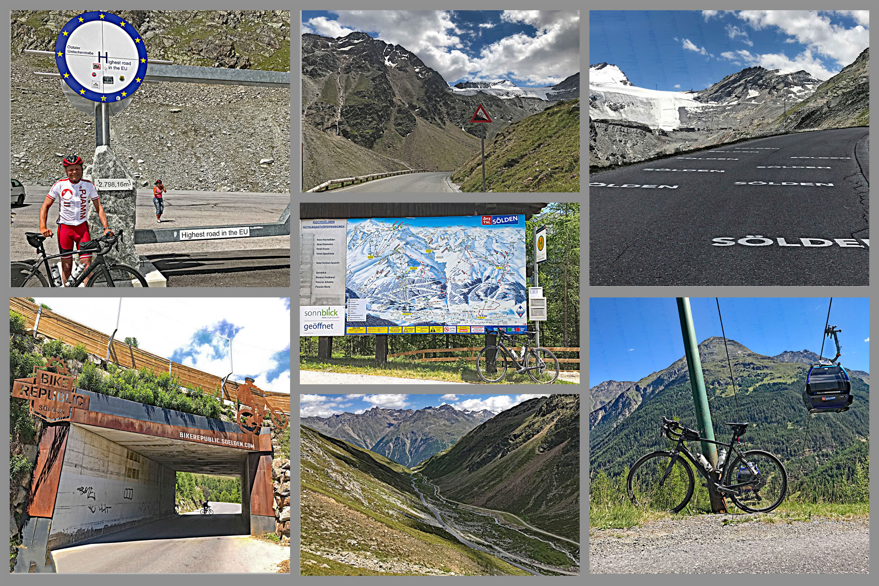
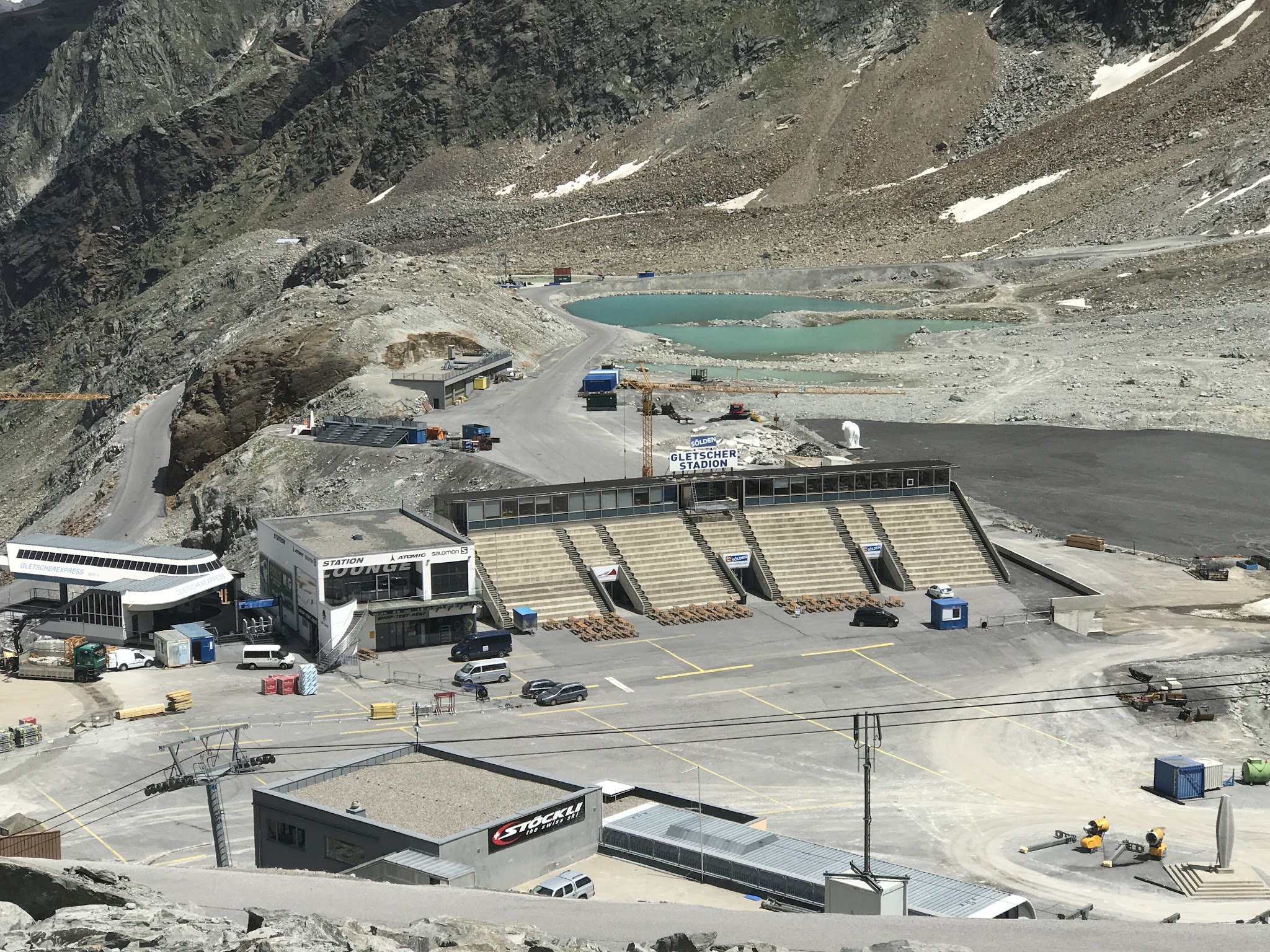
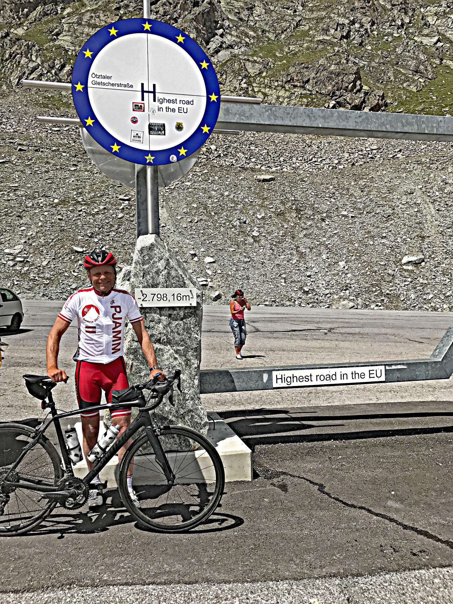
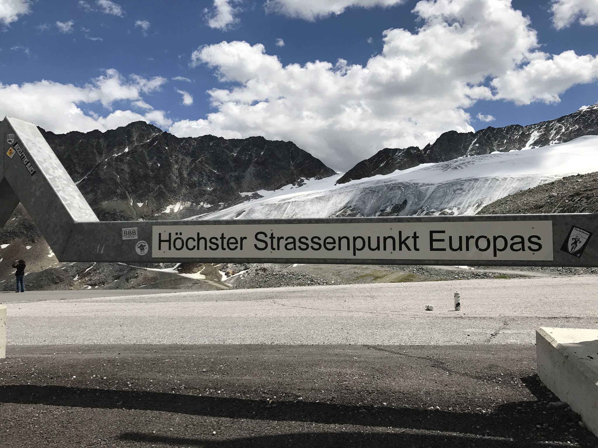
Near the top the road ducks into a short ski tunnel - the second-highest road tunnel in Europe - before popping back out for the final push to the finish at 2,830 meters, just below Rettenbach Glacier. This road doubles as the access route to an international ski resort and hosts the FIS World Cup's traditional season-opening giant slalom each October.
PLAN YOUR ROUTE
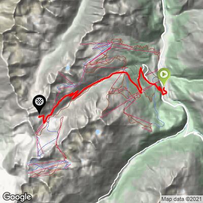
 We've partnered with Sherpa-Map.com to bring you the best route planning tool. With a PRO Membership you can use this climb as a reference when creating your route.
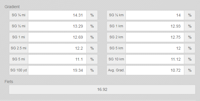
 10.9% average grade. 52% of the climb is at 10-15% grade and 13% is at 15-20%. The steepest 500 meters is 14.9% and steepest kilometer 13.7%.
See more details and tools regarding this climb's grade via the “Profile Tool” button.
Roadway: Excellent condition throughout. The first six kilometers are on a public road with no striping or shoulder; the next seven kilometers are on the toll road up to the glacier, also unstriped and shoulderless but well-paved.
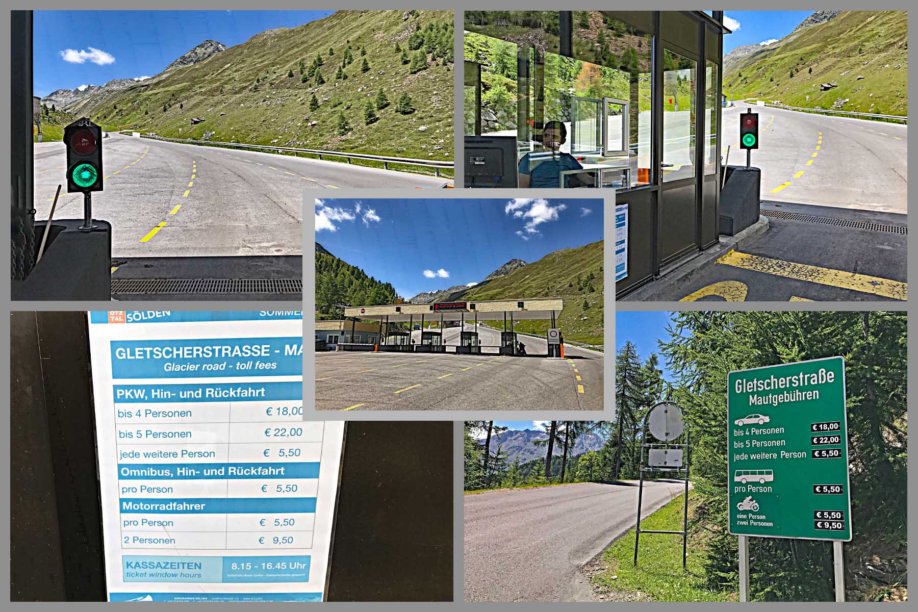
Toll: There's a toll booth at kilometer six (Map; Street View) - cyclists ride through free of charge.
Traffic: Mild. Most of what you'll see is tourist traffic headed up to the glacier ski area, heaviest in mid-morning.
Parking: Just up the road onto Gletscherstraße, 1 kilometer from the start (Map; Street View).
Provisions: At the top is the Rettenbach Market Restaurant, a self-service glacier restaurant with excellent reviews (Google Map + Reviews) that alternates seasonal hours with its sister restaurant at Tiefenbach glacier - call ahead to confirm it's open the day you go: info@riml.com, +43 5254 501-50.
Weather: You're riding to the second-highest paved road in Europe. Consult the PJAMM "Full Forecast" feature for your expected arrival time at the finish to gauge what clothing to bring.
Before heading out on any cycling adventure check out our Things to Bring on a Cycling Trip and use our interactive check list to ensure you don't forget anything.
Also consider riding another extraordinary bike climb while you are in the area: Timmelsjoch.
ROUTE MAP
MEMBER RATING
CURRENT WEATHER
PJAMM TRIPS ADVENTURE STARTER BUNDLES
Check out PJAMM Adventure's prepackaged (self-guided) cycling trips. They will help you plan, document and conquer your next adventure.
NEARBY CLIMBS (0) RADIAL PROXIMITY
FROM No Climbs Found
MEMBER REVIEWS & COMMENTS
Let us know what you thought of this climb. Signup for our FREE membership to write a review or post a comment.
Already have an account?
LOG IN HERE