24.2
PDI
16.5 mi
DISTANCE
4,624 ft
GAINED
5.3 %
AVG. GRADE
FULL CLIMB STATS
INTRO
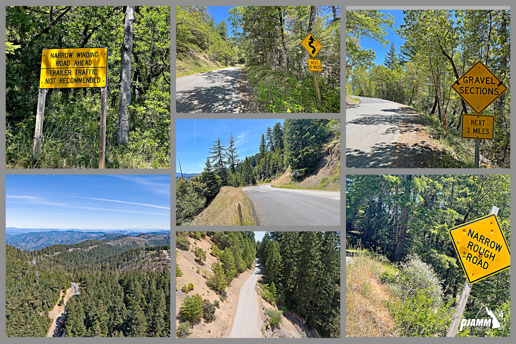
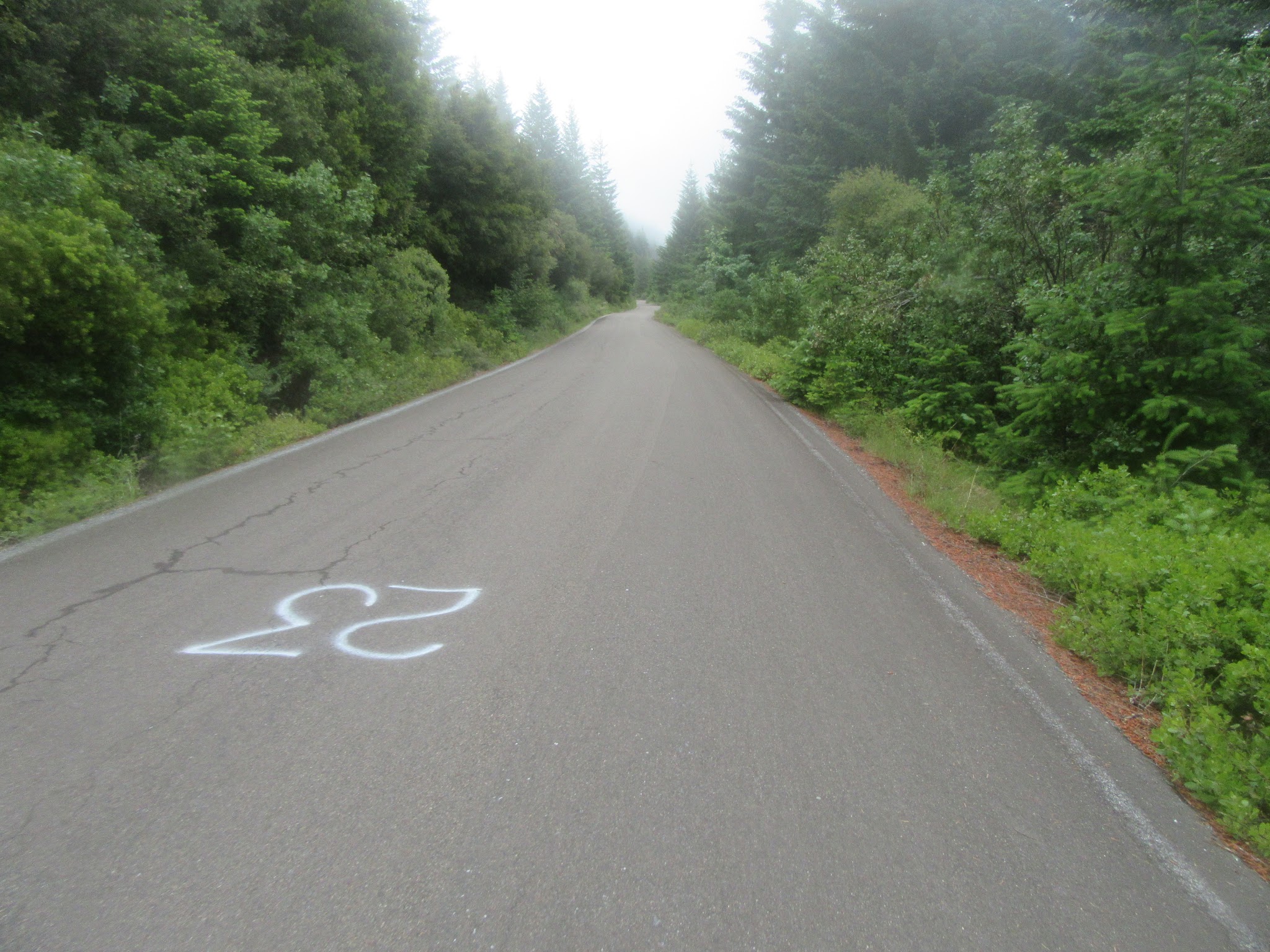
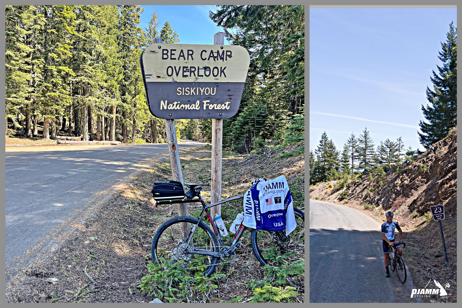
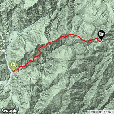
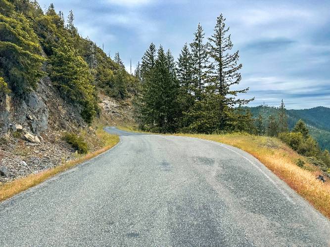
Bear Camp West climbs 16.5 miles and gains 4,624 feet at a 5.3% average, from the Rogue River near Agness, Oregon, up Forest Road 23 (Bear Camp Road) through the Rogue River-Siskiyou National Forest. It starts at just 126 feet and tops out at 4,725 feet, on a narrow, single-lane road with hardly a car on it and no guard rail beside the drop-offs.
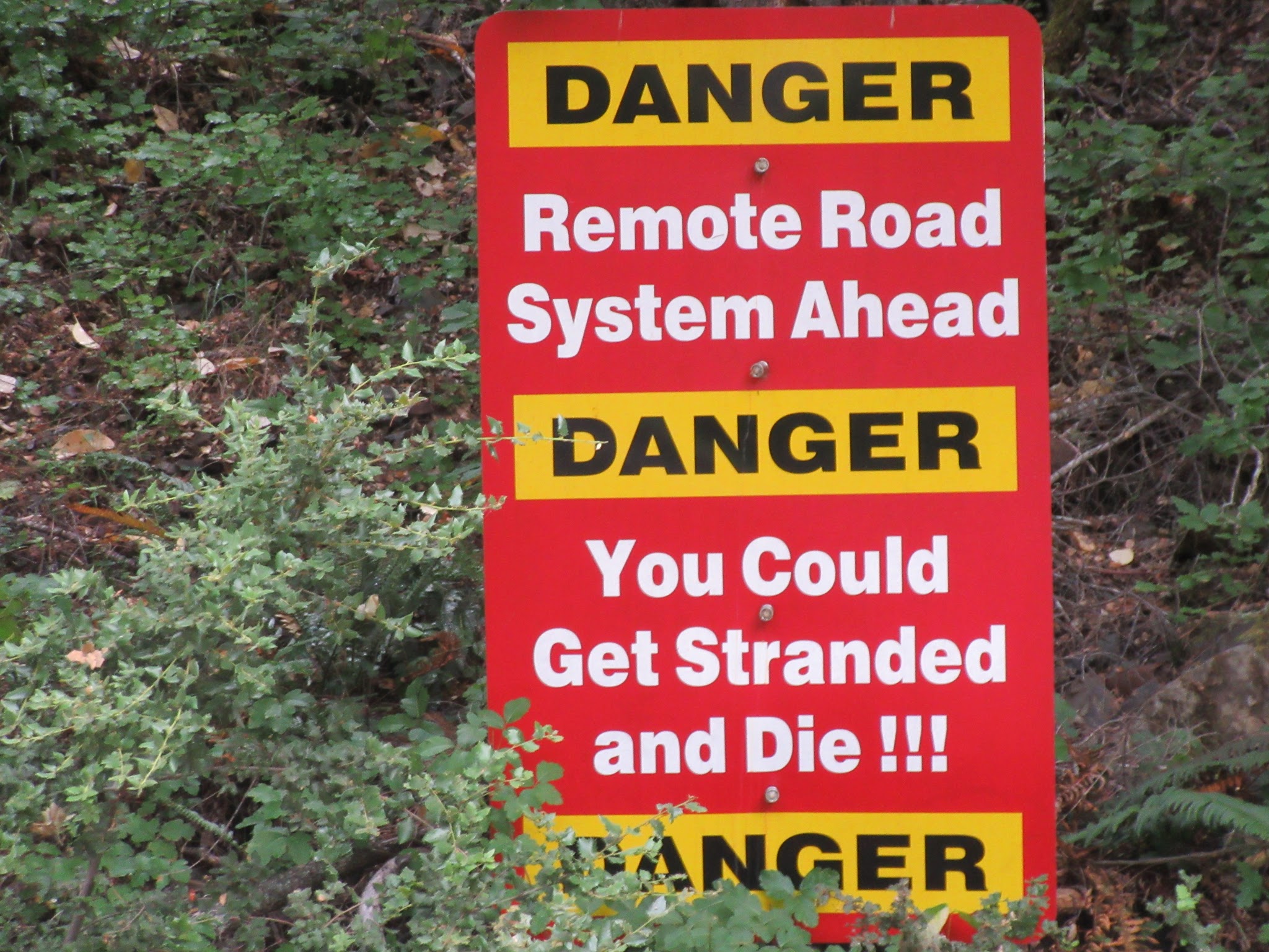
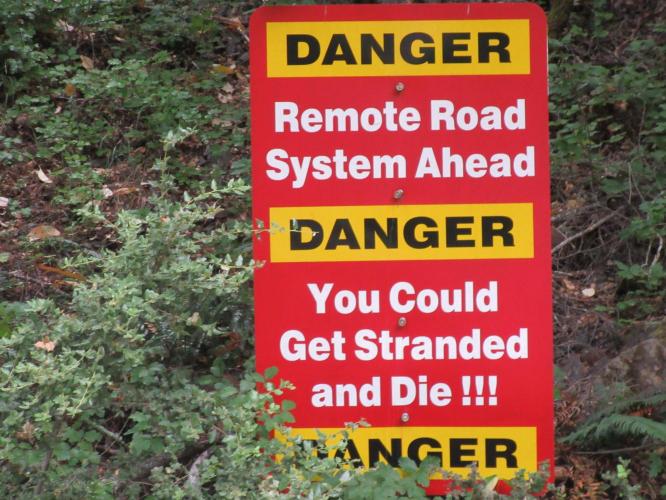
The ascent is brutal and the descent one of the most difficult and even treacherous we have ever encountered. We initially ascended from the east for the 20 miles to Bear Camp Overlook, then began the 16 mile descent to the Rogue River and the beginning of this western ascent. By our rough estimate the road has six short gravel sections and several extremely slick, mossy patches that can be perilous in damp weather. Beware the sign at the start of the east side: "Remote Road System Ahead: Danger: You Could Get Stranded and Die." It is a slight exaggeration at best, so ride with a partner and, ideally, SAG support. For those with a sense of adventure, it is a bucket-list climb.
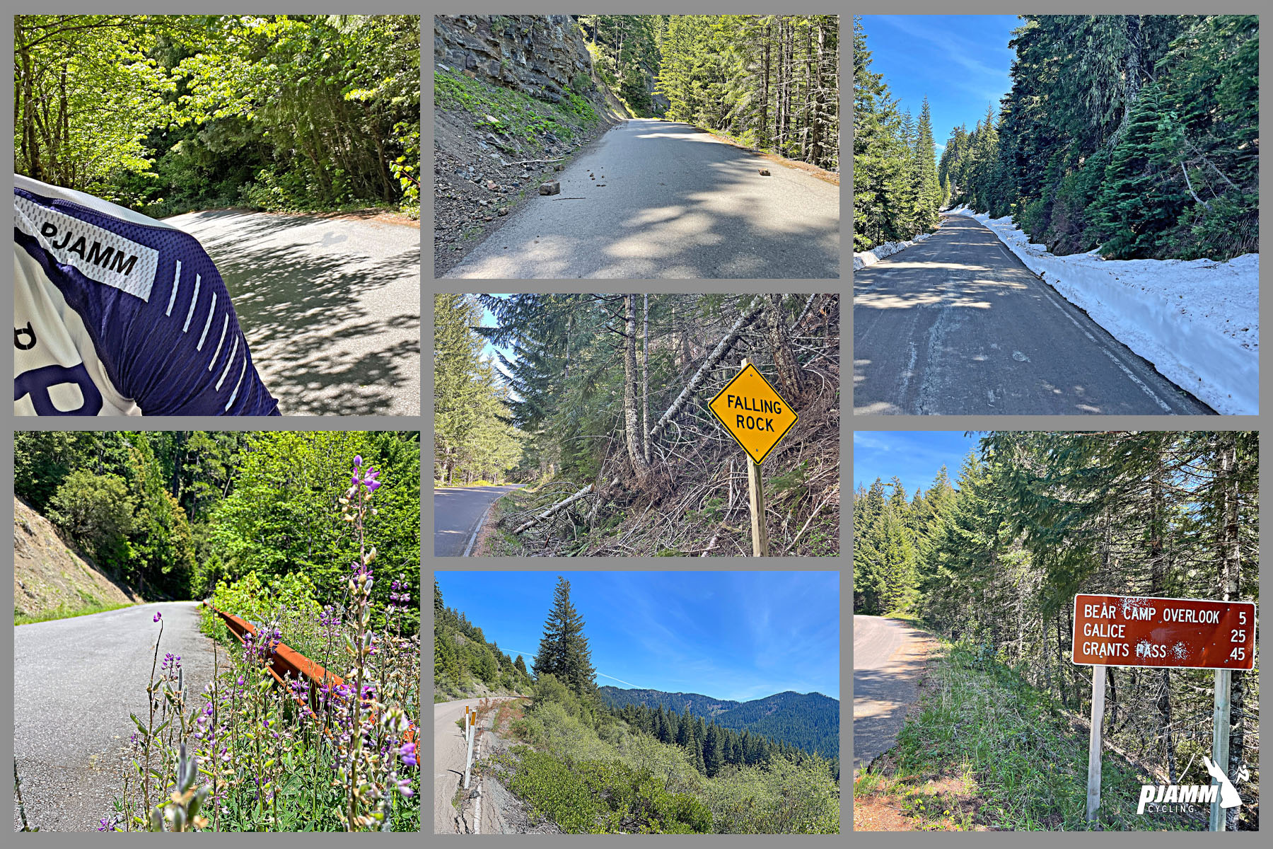
"One of the most isolated climbs in this guide, the west side of Bear Camp Summit is very scenic and single lane in places. Winter storms wash this road out occasionally so check with the ranger station before you go. The grade eases before the top..." (This quote is presented with the approval of John Summerson, from his book, The Complete Guide to Climbing (by Bike), 2nd Edition, pg. 207.)
PLAN YOUR ROUTE
 We've partnered with Sherpa-Map.com to bring you the best route planning tool. With a PRO Membership you can use this climb as a reference when creating your route.
 The average grade of this climb is 5.3% with 38% (6.2 miles) in the 0-5% range and 60% (9.8 miles) at 5-10%. The steepest quarter mile is 8.5%, the steepest continuous mile is 7.9%, and the steepest five miles average 7.3%.
The first six miles are steady at 6-8%, and the grade then eases, with a nearly flat mile just after mile 8. It builds again in the second half, with a last stiff pitch of about 7% around mile 13, before easing to a flat finish.
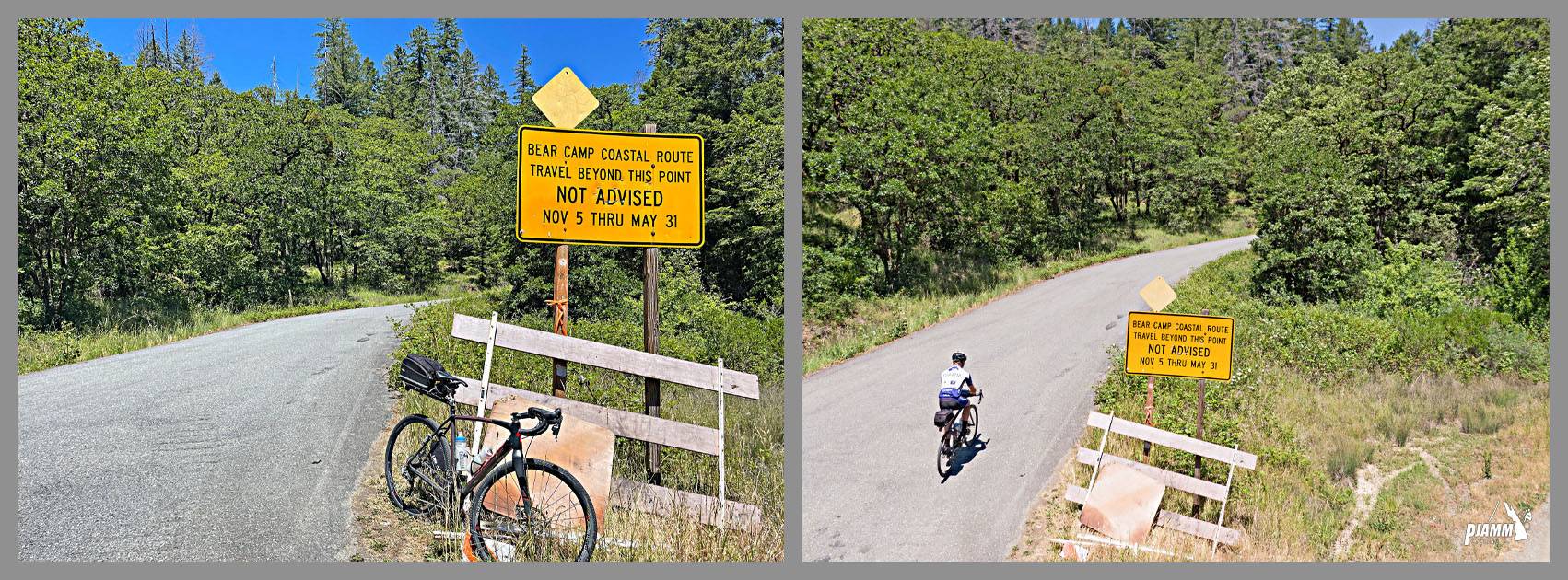
Roadway: Paved the entire climb, but narrow, single lane in places and in poor condition in areas, with six short gravel sections and slick mossy patches by our rough estimate. Winter storms occasionally wash the road out. The Bear Camp Road gate near Galice is closed each winter (the BLM closed it on December 9 in 2024) and stays shut until spring snow allows safe passage; agencies typically aim to reopen in time for Memorial Day and the rafting season, but in 2023 record snowpack left sections blocked into mid-May. The 2025 Moon Complex fire, started by lightning on September 3, 2025 about 11 miles northeast of Agness, closed Bear Camp Road between Galice and Agness that fall, and the Forest Service removed burned hazard trees along the road ahead of the 2026 season. Check TripCheck and the Rogue River-Siskiyou National Forest before you go.
Traffic: Next to none, though a few more vehicles use the road during summer rafting season. Do not count on cell service anywhere along this climb.
Parking: The least of your worries . . . there is no trailhead lot at the start. Agness, about a mile south, has lodges, RV parks and campgrounds, so ask where you can safely leave a vehicle.
Provisions: None along the route. Agness is the last place for food and supplies, and there is no water on the climb itself, so carry everything you need.
Gear: This is remote, rough road, so bring spare tubes, a pump and tools, wider tires if you have them, and a rain layer for slick, damp descents. Download an offline map before you leave Agness, and ride with another cyclist or SAG support.
Before heading out on any cycling adventure check out our Things to Bring on a Cycling Trip and use our interactive check list to ensure you don't forget anything.
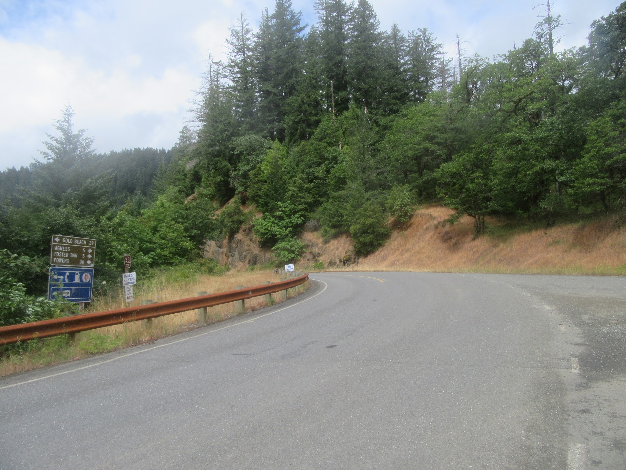
The recreation community of Agness is a mile south of the start of our climb, on the Rogue River. Six miles north is Foster Bar which is the finish of the "Wild and Scenic" section of the Rogue River - Map; Street View. Come for the river (Northwest Rafting), stay for the epic bike climb - note, this rafting trip ends at Foster Bar so you would need to have left your second vehicle and bike at Foster Bar and driven to the launch spot 35 miles (by river, 67 by car) north at Grave Creek - Map - Foster Bar to Grave Creek.
This climb is fairly remote and you may want to consider rental options in Bagnell Ferry, OR which is 30 miles west of the start of the climb.
Agness sits near the confluence of the Rogue and Illinois Rivers, both Wild and Scenic rivers, and a mail boat runs the Rogue between Gold Beach and Agness, one of only two rural mail boat routes still operating in the US. The Agness-Illahe Museum is open May through September, and the Rogue River Ranch, a National Register of Historic Places site, lies east of town. After the 2025 Moon Complex fire the Forest Service restricted parts of the Rogue River Trail, so check current closures if you plan to combine the climb with a river trip. For the other side of the mountain, see our Bear Camp East page.
ROUTE MAP
MEMBER RATING
CURRENT WEATHER
PJAMM TRIPS ADVENTURE STARTER BUNDLES
Check out PJAMM Adventure's prepackaged (self-guided) cycling trips. They will help you plan, document and conquer your next adventure.
NEARBY CLIMBS (0) RADIAL PROXIMITY
FROM No Climbs Found
MEMBER REVIEWS & COMMENTS
Let us know what you thought of this climb. Signup for our FREE membership to write a review or post a comment.
Already have an account?
LOG IN HERE
benguernsey
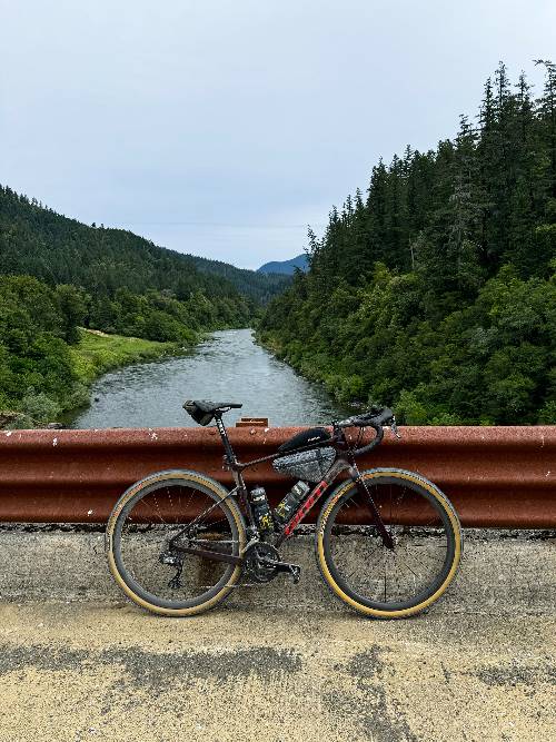
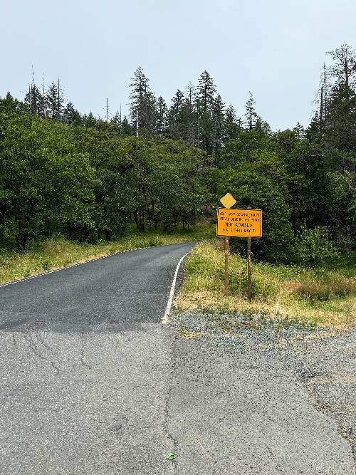
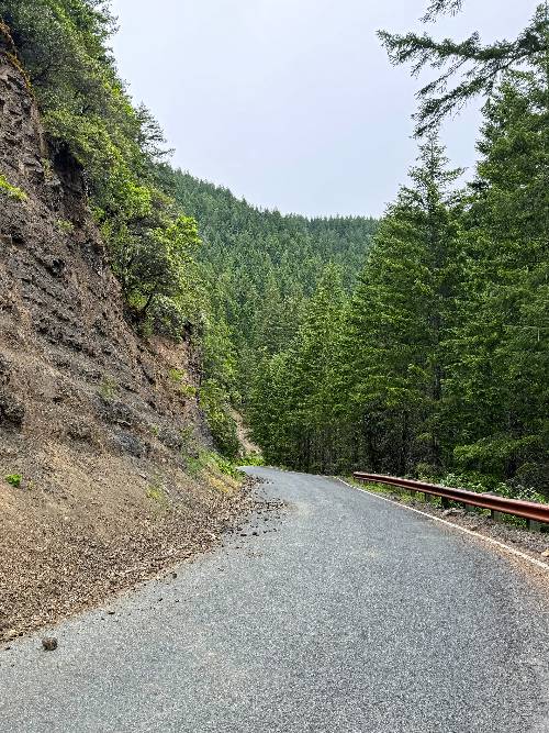
Rode Bear Camp in June 2024 and made a larger loop out of it. Was quite good and very remote. Not for the faint of heart or legs. As mentioned on here conditions on Bear Camp West were quite good except for a few gravel sections to watch for if you descend it. Here is the loop write up: https://doubledaggerac.com/wild-rogue/
DBlondfield


Nice climb. Stayed at Cougar Lane Lodge about a mile from the start. Road surface was great. However there were 5 gravel/ unpaved sections. 4 in the 6 to 9 km stretch. Longest was 100 meters. One more higher up before the Vista pull out. Very short. None were a problem. I would not ride this after a big rain storm unless you drive it first. Road is single lane with wide spots. Fine for bikes. Felt a little anticlimactic at the top. Not much of a view and no elevation sign. Loved the climb profile. Got the steeper part done in the first third of the climb. Drove it pulling a trailer the next day. Very remote.
RogueChip
I rode this 10/21/23. Awesome ride. Here's a vid I did.
https://youtu.be/bIIbwlLRD40
carlinguernsey
I was going to ride this climb, but I decided to not do it alone after I drove it in the car. It is very remote with almost no traffic. The road on the west side was in especially bad condition when I saw it. There were at least five gravel stretches that seemed to be mainly on the steeper parts. The east side was in better condition. Maybe I'll come back some time as part of a group...