18
PDI
11.1 mi
DISTANCE
3,305 ft
GAINED
5.6 %
AVG. GRADE
FULL CLIMB STATS
Page Contributor(s): Helmuth Dekkers, Netherlands
INTRO
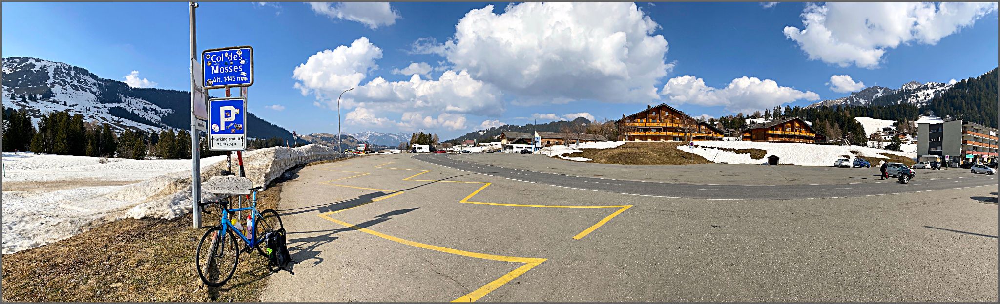
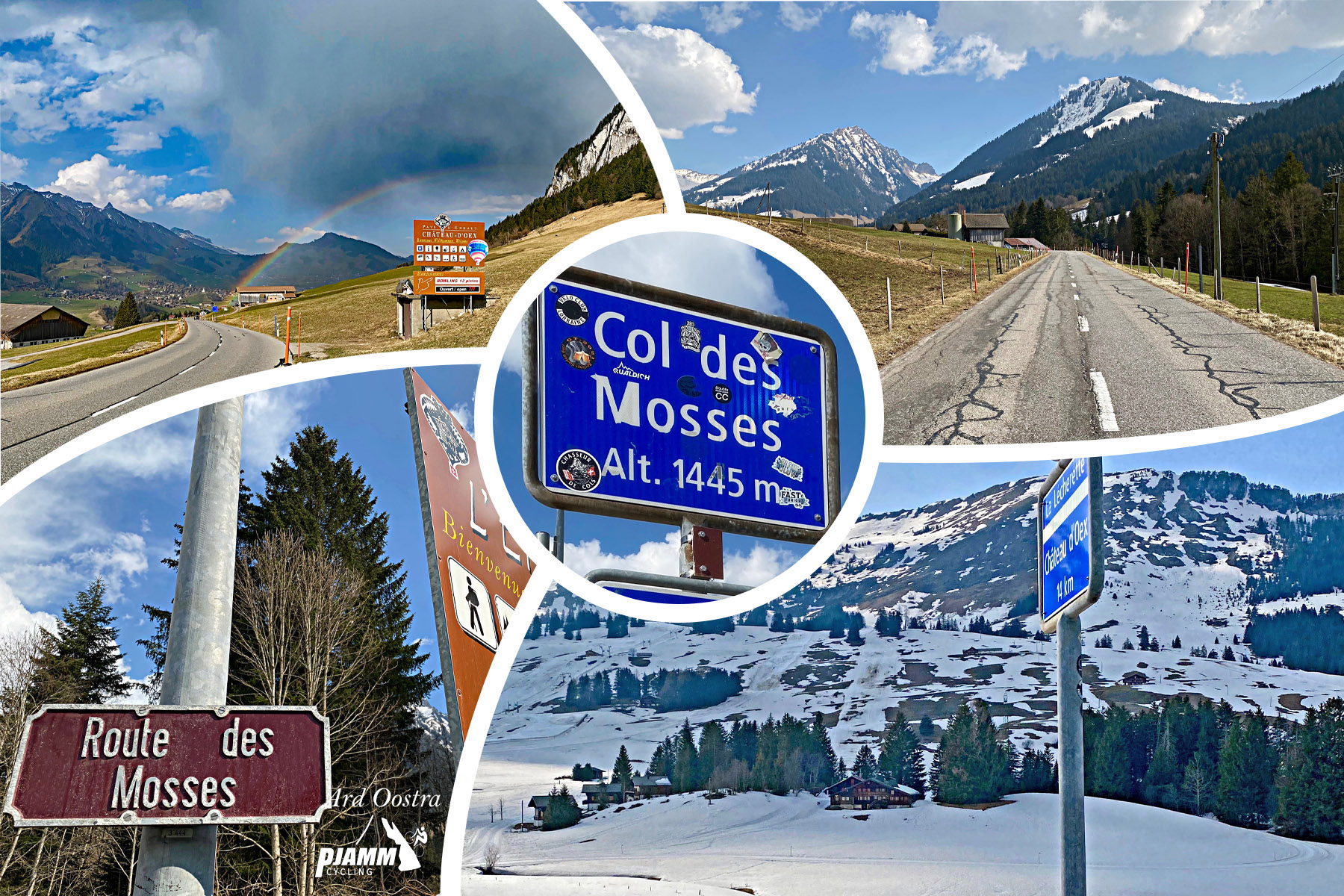
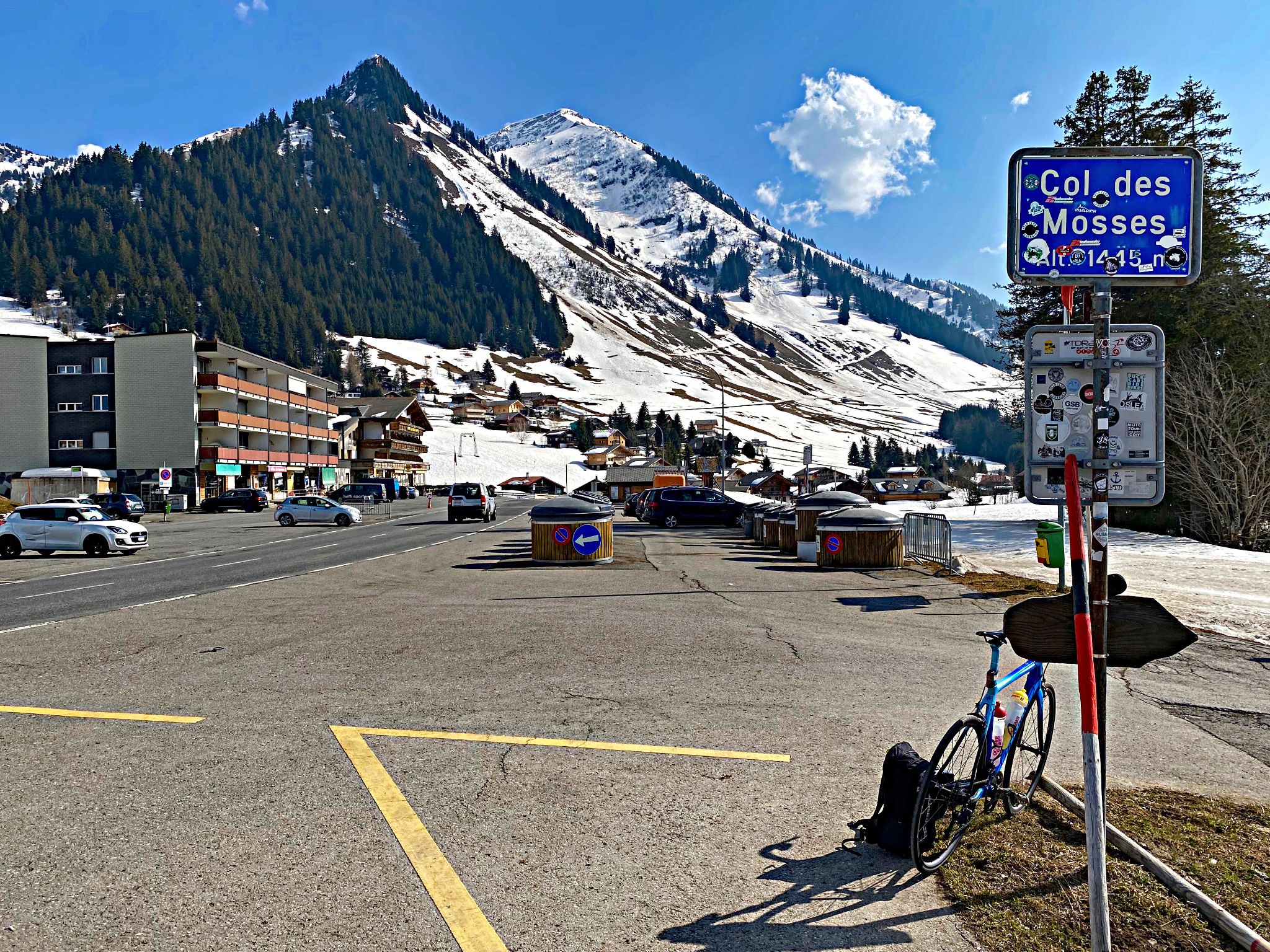
The Col des Mosses links the Rhône valley at Aigle with the Pays-d'Enhaut, and this is its longer southern side: 17.9 km (11.1 mi) with 1007 m (3305 ft) of climbing at a 5.6% average, from 432 m (1416 ft) among Aigle's vineyards to the pass at 1445 m (4741 ft). It ranks #1213 in the world in our database.
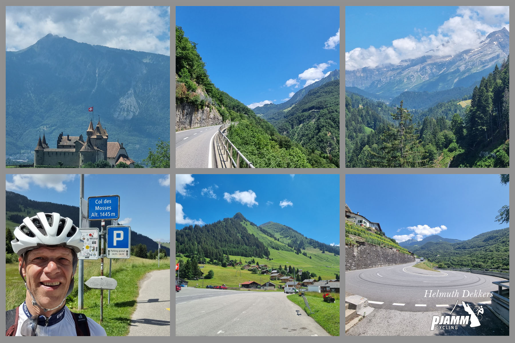
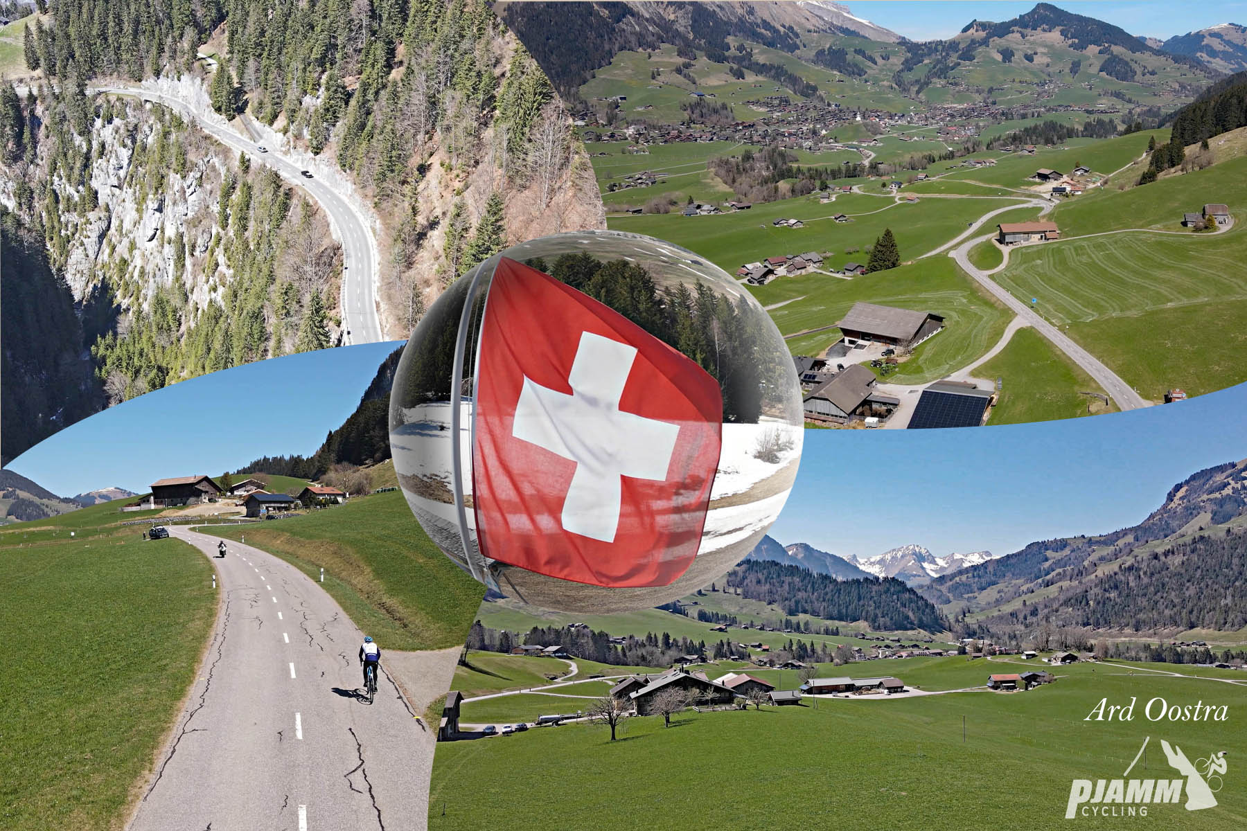
The climb opens with a set of hairpins above Aigle, with views back over the castle and vineyards, then runs up the steep-sided Grande Eau valley at a steady 6-7%. After about 6 km (3.7 mi) the grade relaxes for a long stretch along the river before Le Sépey, roughly 10 km (6.2 mi) in, where the roads to Leysin and Les Diablerets split off. Above the village comes the hardest part - about 4 km (2.5 mi) at around 7%, including the steepest kilometer of the climb at 7.8% - before the road reaches the open high valley of the Ormonts and the final kilometers to the col are close to flat. The pass itself is a broad, open high valley with the small resort of Les Mosses spread across it.
The Col des Mosses has a long racing history. The Tour de France crossed it in 2000, 2009, 2016 and 2022, and it is a regular in the Tour de Romandie. In 2022, Stage 9 came over the pass from the north and descended the top of this road through La Comballaz before turning toward Les Diablerets and the Col de la Croix, on the day Bob Jungels won at Châtel.
PLAN YOUR ROUTE
 We've partnered with Sherpa-Map.com to bring you the best route planning tool. With a PRO Membership you can use this climb as a reference when creating your route.
The climb gains 1007 m (3305 ft) over 17.9 km (11.1 mi) at an average of 5.6%, but it comes in three distinct sections.
The first 6 km (3.7 mi) out of Aigle average about 6.5%, starting with the hairpins above town and including a 7.3% second kilometer and a 7.5% sixth kilometer. Kilometers 7 and 8 are the breather of the climb at 2.5-3.5%, and the road holds around 5% for the next two kilometers into Le Sépey.
Above Le Sépey, from kilometer 11 to kilometer 15, the climb averages about 7%, and the steepest kilometer of the climb, at 7.8%, begins at kilometer 13. The final 2.5 km (1.6 mi) across the high valley to the col drop back to under 4%.
The steepest 1 km (0.6 mi) averages 7.8%, the steepest 2 km (1.2 mi) 7.5%, and the steepest 5 km (3.1 mi) 7.2%. The steepest mile averages 7.6%.
Roadway: The road is paved the entire way and riders describe it as a good-quality, well-engineered main road. It is the main cantonal road between Aigle, the Ormont valleys and the Les Mosses resort, with avalanche protection structures along parts of the upper road. The lower road through the Grande Eau gorge runs below steep, unstable slopes - a rockfall closed it between Aigle and Le Sépey in 2015, and landslides near the Pont de la Tine and at La Frasse have required ongoing work - so watch for roadwork stops and check the canton of Vaud's road information before you go.
Traffic: This is the climb's weak point. Traffic is heavy from Aigle to Le Sépey, with trucks, cars and motorcycles, and the narrow gorge leaves drivers little room to pass - enough that a separate cycle route along the Grande Eau has been proposed in the cantonal parliament. Riders recommend avoiding holidays and rush hours. Above Le Sépey, once the Leysin and Les Diablerets traffic has turned off, the road is much calmer.
Parking: Aigle is a town on the main Rhône valley rail line, and the P+Rail car park at the station has 345 spaces, open at all times, for CHF 7 per day. From the station it is a short ride through town to the start of the climb on the eastern edge of Aigle.
Provisions: Stock up in Aigle, which has everything. Le Sépey, about 10 km (6.2 mi) into the climb, is the main village on the route and the natural place to top up bottles before the hardest section. Carry what you need for the last 8 km (5 mi) to the col.
Gear: The grade never goes much above 8%, so a compact crankset with a 28-tooth cog is plenty. The bigger considerations are visibility and weather: wear bright clothing and use lights in the gorge, where traffic is heavy, and pack a wind layer - the col sits more than 1000 m (3281 ft) above Aigle and the descent back down the valley is long and fast.
Before heading out on any cycling adventure check out our Things to Bring on a Cycling Trip and use our interactive check list to ensure you don't forget anything.
Aigle is the home of world cycling's governing body, and the UCI World Cycling Centre on the edge of town welcomes visitors: self-guided visits covering the history of the UCI, cycling innovations and the indoor velodrome are free, and guided tours can be booked. In the old town, the medieval Château d'Aigle stands among the vineyards and houses the Musée de la vigne, du vin et de l'étiquette, open daily from April to October - a good way to get to know the local Chablais wines before you taste them.
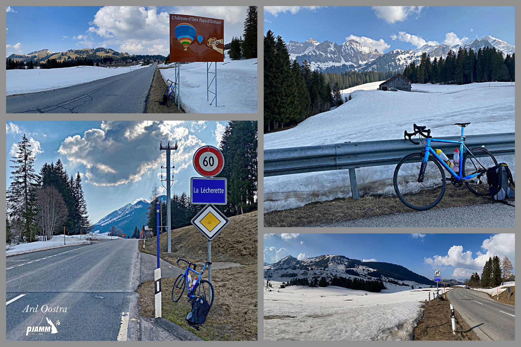
The Aigle - Le Sépey - Les Diablerets railway, opened in 1913 and 1914, shadows the road up the Grande Eau valley and is a relaxed way to see the gorge on a rest day. At the top, the most popular outing from the col is the walk up to Lac Lioson at about 1850 m (6070 ft), roughly 1 hour 15 minutes each way, where the lakeside Restaurant du Lac Lioson is open from June to early October and offers dormitory beds. Beyond the col, La Lécherette is the turnoff for the Lac de l'Hongrin and the Col des Agites - see our Les Agites page.
The Alpes Vaudoises are packed with climbs - see other climbs nearby, or build a custom route from here, with our Routes in the Area tool.
ROUTE MAP

MEMBER RATING
CURRENT WEATHER
PJAMM TRIPS ADVENTURE STARTER BUNDLES
Check out PJAMM Adventure's prepackaged (self-guided) cycling trips. They will help you plan, document and conquer your next adventure.
NEARBY CLIMBS (0) RADIAL PROXIMITY
FROM No Climbs Found
MEMBER REVIEWS & COMMENTS
Let us know what you thought of this climb. Signup for our FREE membership to write a review or post a comment.
Already have an account?
LOG IN HERE