30.6
PDI
15.8 mi
DISTANCE
4,734 ft
GAINED
5.7 %
AVG. GRADE
FULL CLIMB STATS
Page Contributor(s): Joseph Coleman, Bend, OR; Timon Fish, Albuquerque, NM.
INTRO
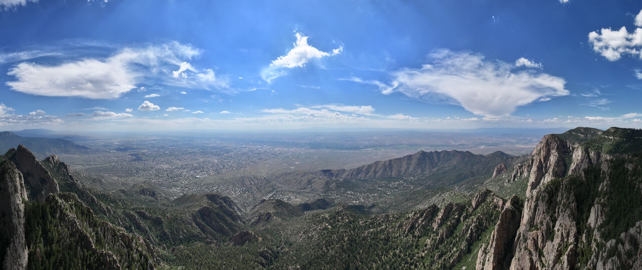
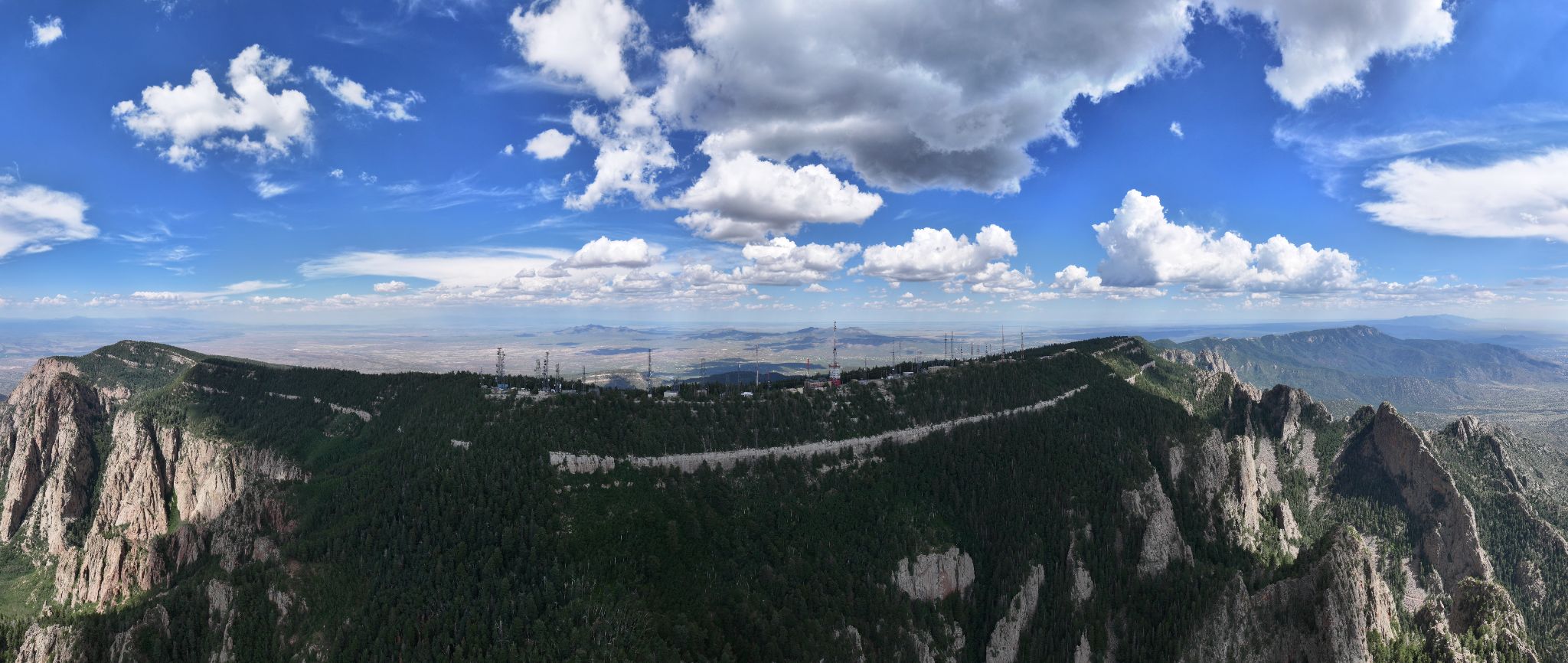
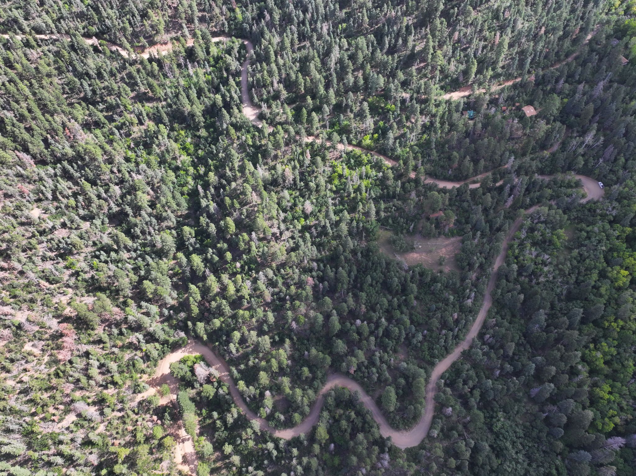
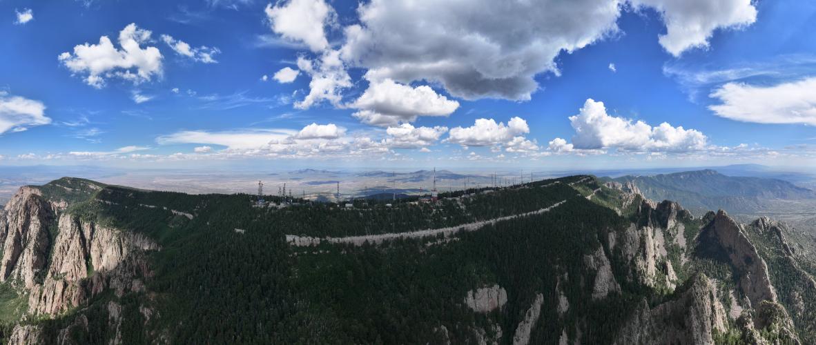
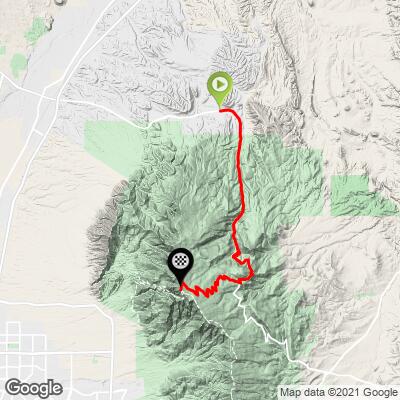
Sandia Crest's gravel ascent is a 15.8-mile, mostly-dirt alternative to the standard paved Sandia Crest climb, starting in the village of Placitas on the west side of the Sandia Mountains and gaining 4,734' at a 5.69% average grade to the 10,665' summit. Locals call this route "Around the Mountain" - it's paved out of Placitas, turns to well-maintained dirt/gravel for about 3.2 miles starting around mile 6.5, then rejoins the paved Sandia Crest Highway (NM 536) for the final switchbacks to the top.
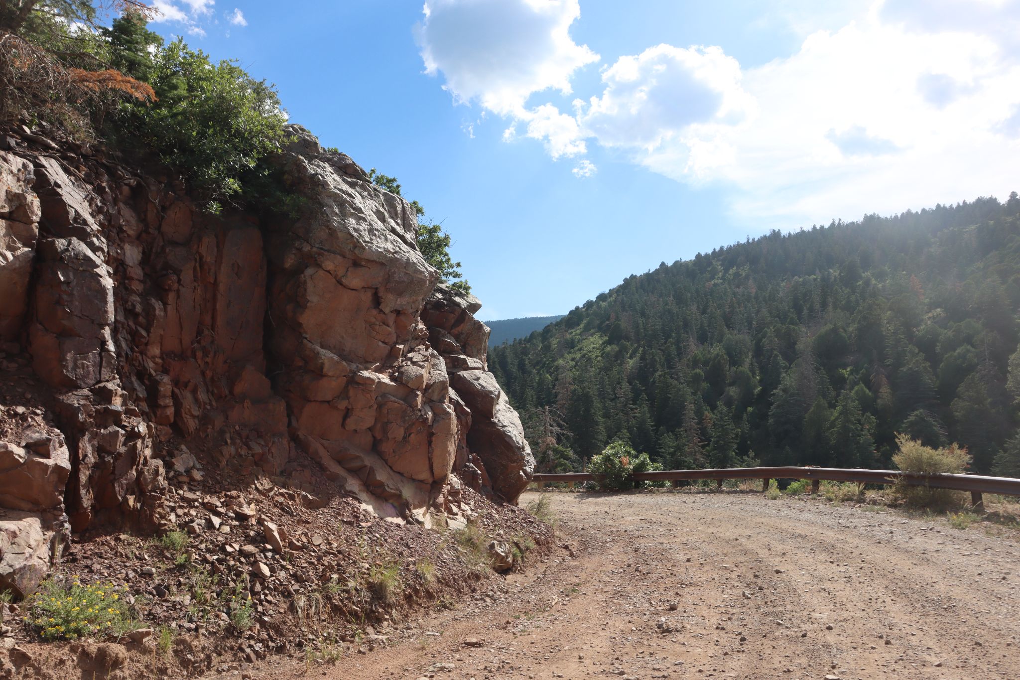
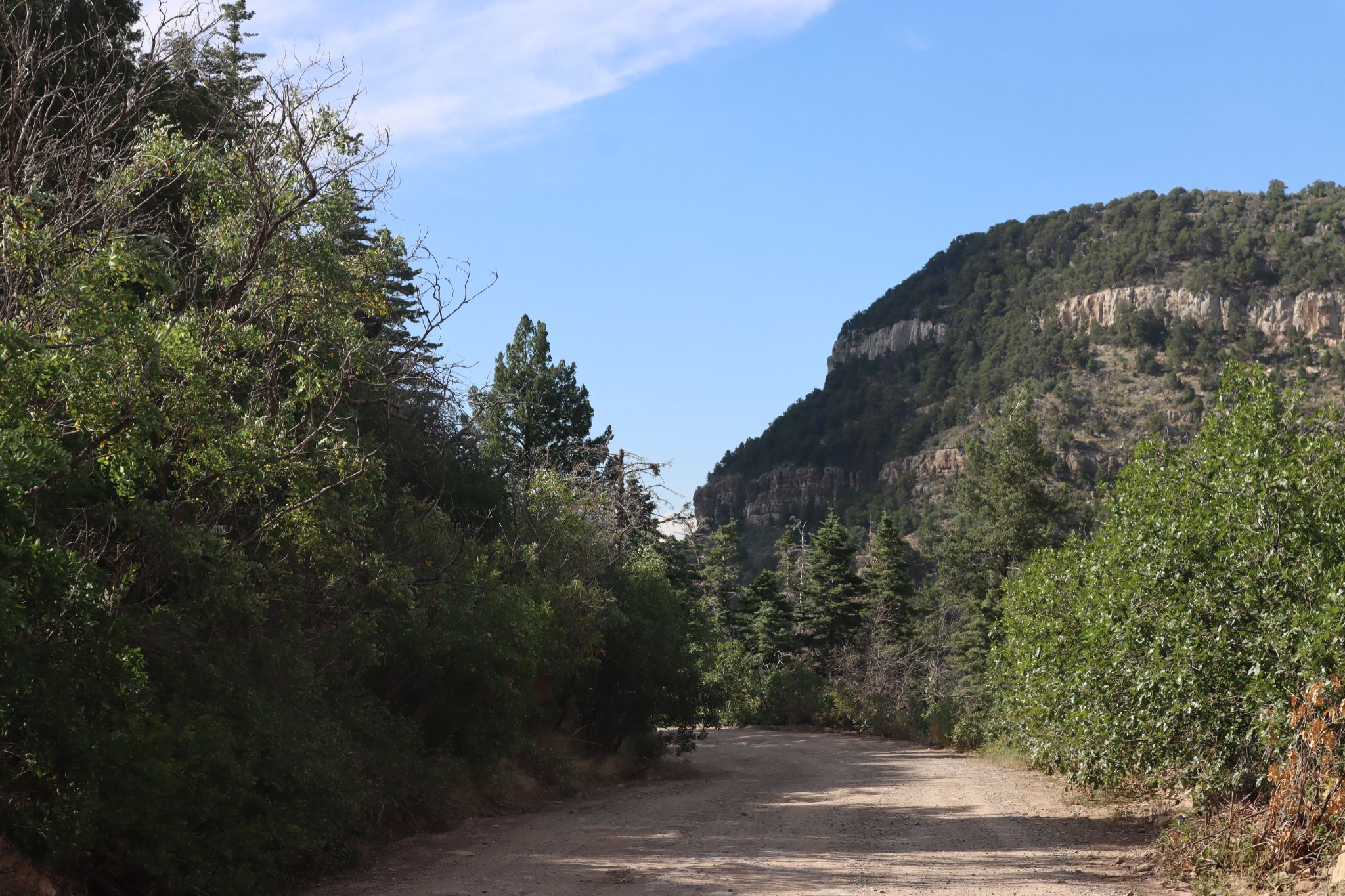
The dirt section is smooth and consistent enough that contributors report riding it on a road bike with 28mm+ tires, though a gravel bike is the more comfortable choice. Along the way you'll pass the Sandia Man Cave and come out onto the same switchbacks used by the main paved Sandia Crest route.
Current riders should know: New Mexico State Highway 536 is closed beyond the 10K Trailhead parking lot (just past mile marker 11) from April 2026 through mid-January 2027 for a Forest Service hazard-tree removal project. That closure falls inside this route's final paved stretch, so the true summit and Crest House are not currently reachable - see Roadway & Parking for details.
PLAN YOUR ROUTE
 We've partnered with Sherpa-Map.com to bring you the best route planning tool. With a PRO Membership you can use this climb as a reference when creating your route.
 This climb averages 5.69% over its full 15.8 miles, gaining 4,734' from Placitas (5,931') to the crest (10,665'). It's a long, steady grind rather than a series of steep pitches - the opening quarter-mile is the steepest stretch at just under 9%, and the grade eases gradually from there, averaging around 7.3% through the first 2.5 miles and roughly 6.6% through mile 5.
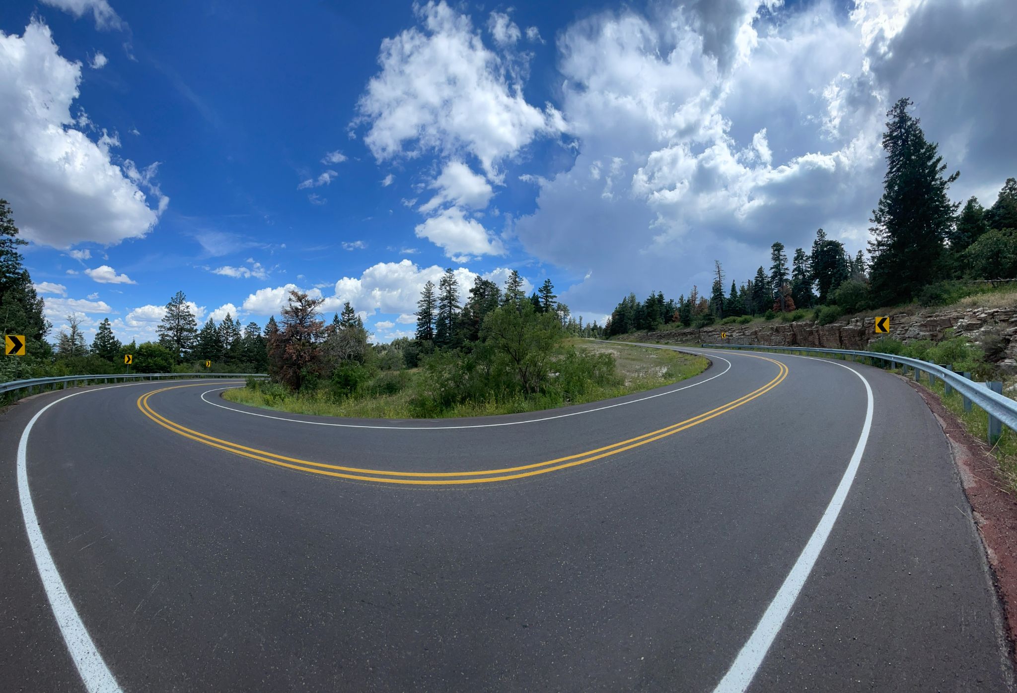
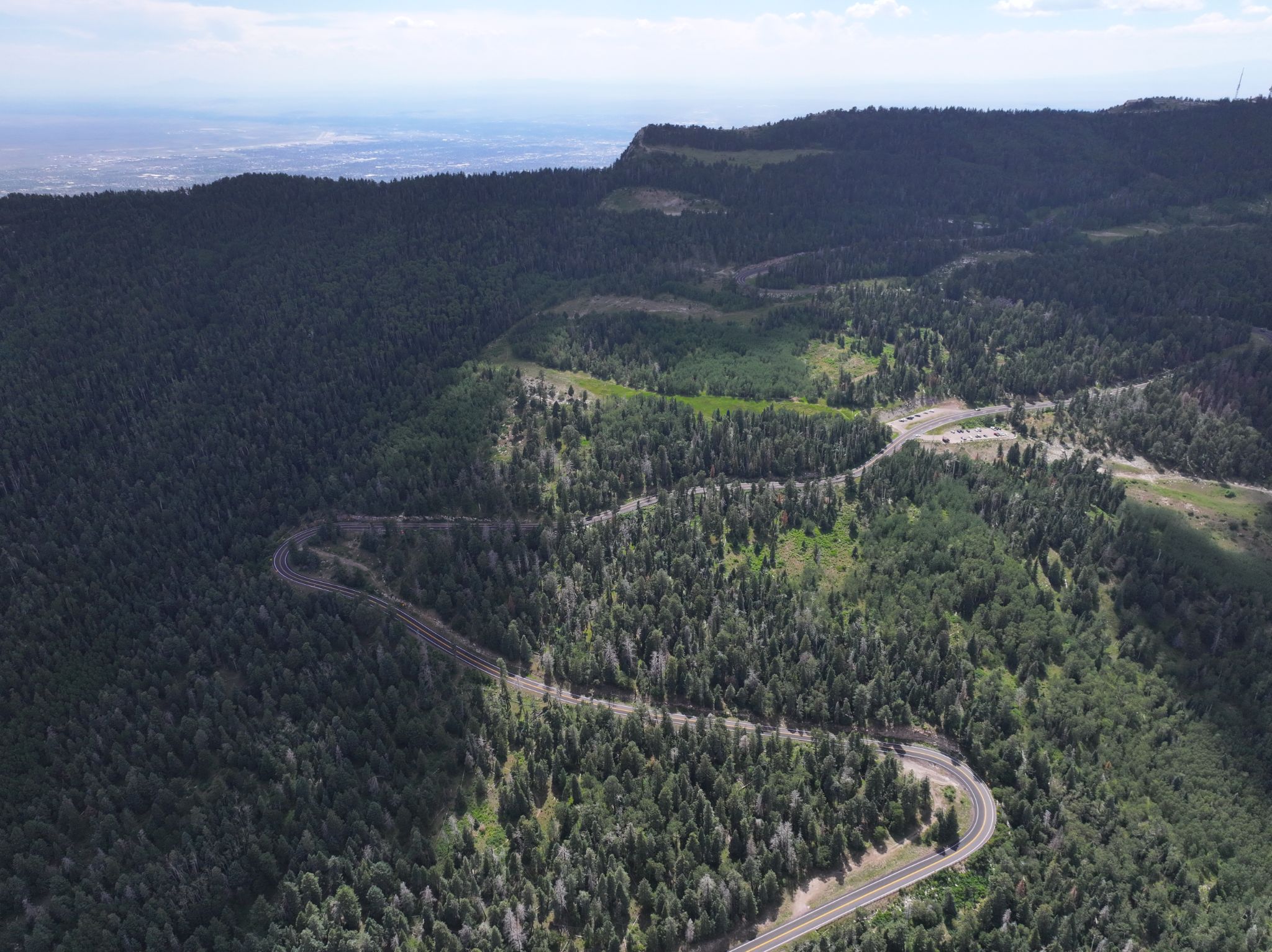
The unpaved middle section, starting around mile 6.5, holds a moderate 5.5% for about 3.2 miles. The final six miles rejoin the paved Sandia Crest Highway and follow the same switchbacks as the standard paved Sandia Crest climb.
Roadway: Paved out of Placitas for the first several miles, then unpaved dirt/gravel for about 3.2 miles starting around mile 6.5 - locals call this route "Around the Mountain." The dirt is well-maintained and well-traveled; contributors report it's rideable on a road bike with 28mm+ tires when dry, though it gets rough in mud or ice. The final six miles rejoin the paved Sandia Crest Highway (NM 536) and follow the same switchbacks as the standard paved Sandia Crest climb to the summit.
Current closure: as of this update, NM-536 is closed beyond the 10K Trailhead parking lot (just past mile marker 11) for the Sandia Crest "Switchback" hazard-tree and fuel-reduction project - Forest Order 03-03-05-26-02, in effect April 1, 2026 through January 15, 2027. That closure sits inside the final paved stretch this route relies on, so the true summit and Crest House parking lots are not currently reachable; riders can only go as far as the 10K Trailhead turnaround. Check the Cibola National Forest's current alerts page before planning this ride until the closure lifts.
Traffic: Light on the dirt/backside section - well-traveled but not busy, with occasional passing vehicles. The paved final stretch (when fully open) is different: NM-536 is a popular tourist and day-trip road, and traffic gets heavy on weekends and in good weather.
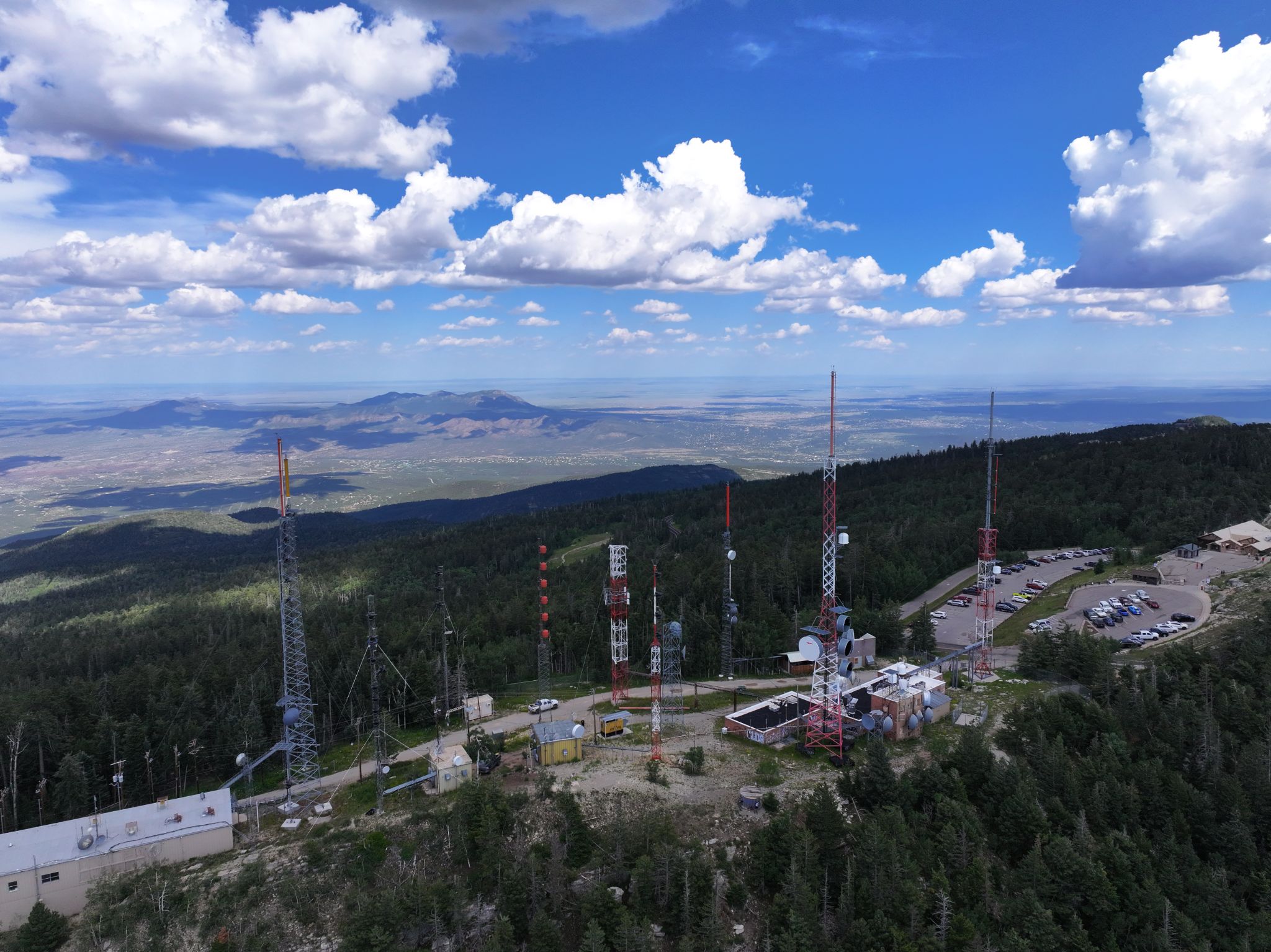
Parking: Start from the village of Placitas (roadside parking). A large lot normally exists at the summit, but it's currently closed along with the road above the 10K Trailhead (see closure note above) - expect to turn around at the 10K Trailhead lot rather than reaching Crest House until the closure lifts.
Most riders do this on a gravel bike, but the dirt section is manageable on a road bike with 28mm or wider tires when dry - lean toward gravel tires if you're riding after rain or snow, since the surface gets slick with mud or ice. New Mexico's summer monsoons roll in fast, and hail or even snow are possible at the summit even in warm months, so pack a shell and check the forecast before committing to the upper mountain.
Before heading out on any cycling adventure check out our Things to Bring on a Cycling Trip and use our interactive check list to ensure you don't forget anything.
Placitas, at the start of this route, is a small community about 20 miles northeast of Albuquerque via NM 165 - a reasonable day trip from the city with no need to stay overnight. Some riders make a loop of it by descending the traditional, fully paved Sandia Crest route (NM 536) back down rather than returning the way they came.
While the current NM-536 closure is in effect (through mid-January 2027), a full loop over the summit isn't possible - plan an out-and-back to the 10K Trailhead instead, or call the Sandia Ranger District (505-281-3304) for the latest status before you go.
ROUTE MAP
MEMBER RATING
CURRENT WEATHER
PJAMM TRIPS ADVENTURE STARTER BUNDLES
Check out PJAMM Adventure's prepackaged (self-guided) cycling trips. They will help you plan, document and conquer your next adventure.
NEARBY CLIMBS (0) RADIAL PROXIMITY
FROM No Climbs Found
MEMBER REVIEWS & COMMENTS
Let us know what you thought of this climb. Signup for our FREE membership to write a review or post a comment.
Already have an account?
LOG IN HERE
josephbcoolman
I lived in Albuquerque for 11 years. I climbed ( and raced ) Sandia Crest dozens of times. Locals call this ride “Around the Mountainâ€. This is an alternative to Climbing the Crest. You can start in the village of Placitas , it's paved for awhile but soon turns to dirt, mostly dirt with some washboard sections. This is a very doable ride ( going up, do not descend on a road bike ) Back in the day I only used 23mm tires. I wouldn't do it now on anything less than 25mm -28mm. It is a Epic ride. Goes by the Sandia Man Cave. Come out at the switchbacks that is the last part climbing to the Crest.