35.3
PDI
9 mi
DISTANCE
4,364 ft
GAINED
9 %
AVG. GRADE
FULL CLIMB STATS
INTRO
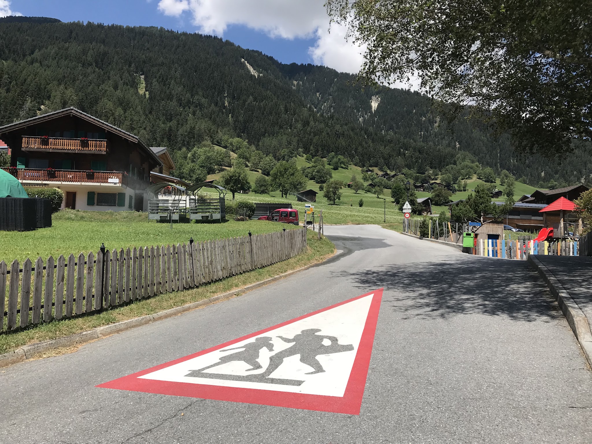
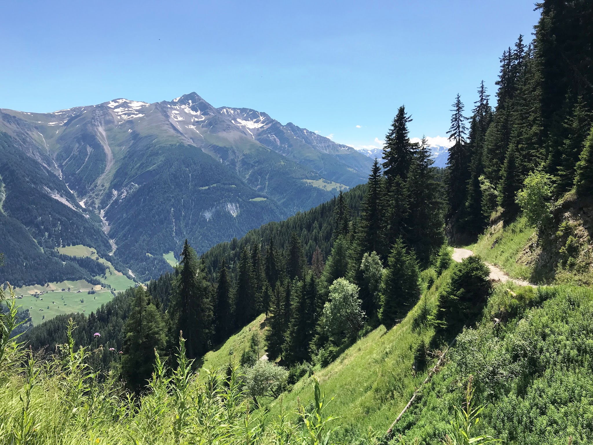
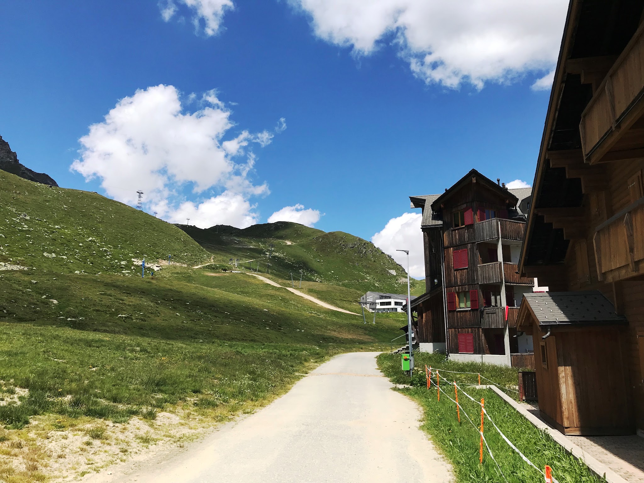
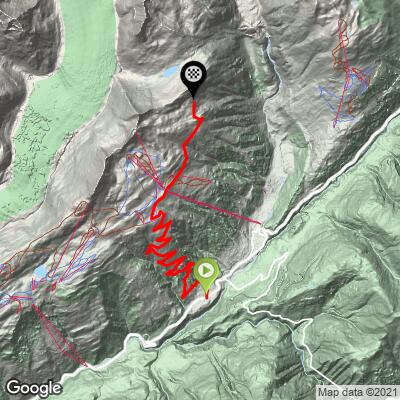
Marjalensee is a 9.0-mile climb from the village of Lax in Switzerland's Goms Valley (Wallis), gaining 4,364 feet at a 9.0% average grade on the way to a high shoulder above the Bellwald ski area, at 7,682 feet. It starts on pavement at the Oberdorf junction with Route 19 (Furkastrasse) in Lax, then climbs through forest and open ski terrain before the surface turns to gravel and dirt for the final push toward the Marjelensee overlook above the Aletsch Glacier.
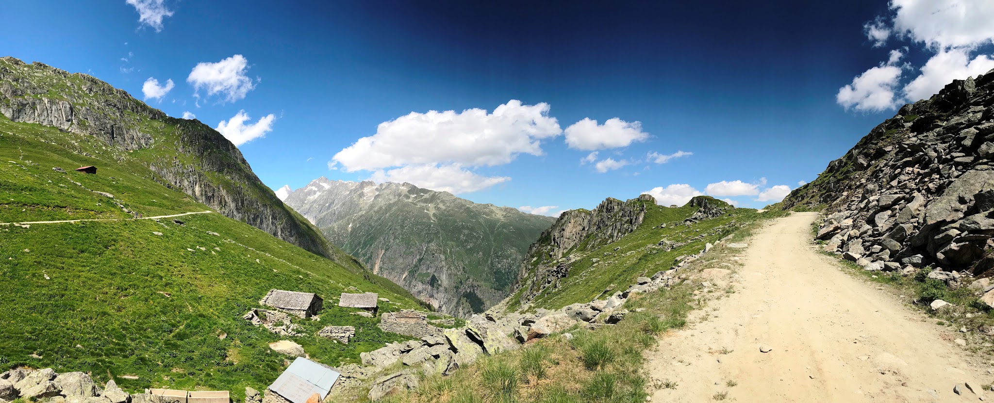
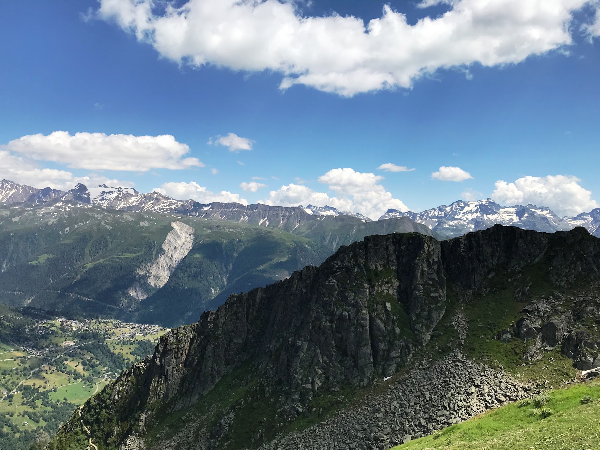
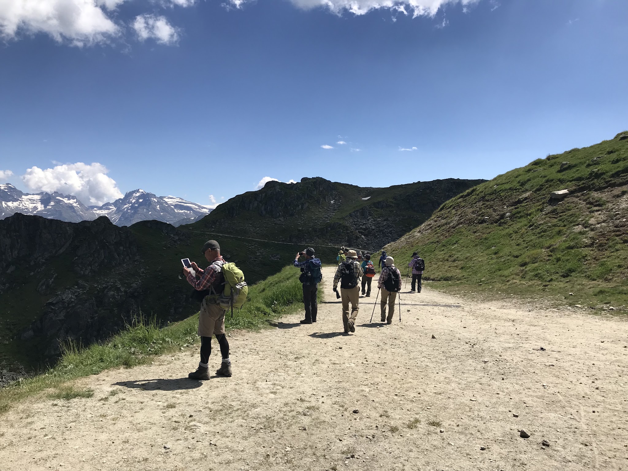
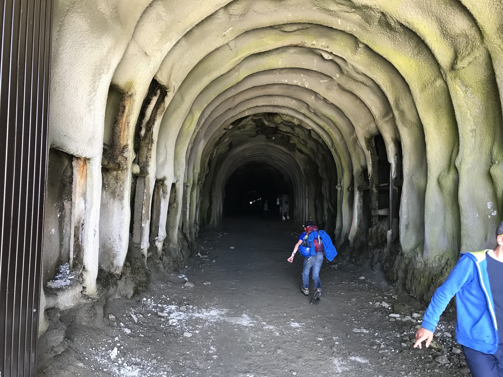
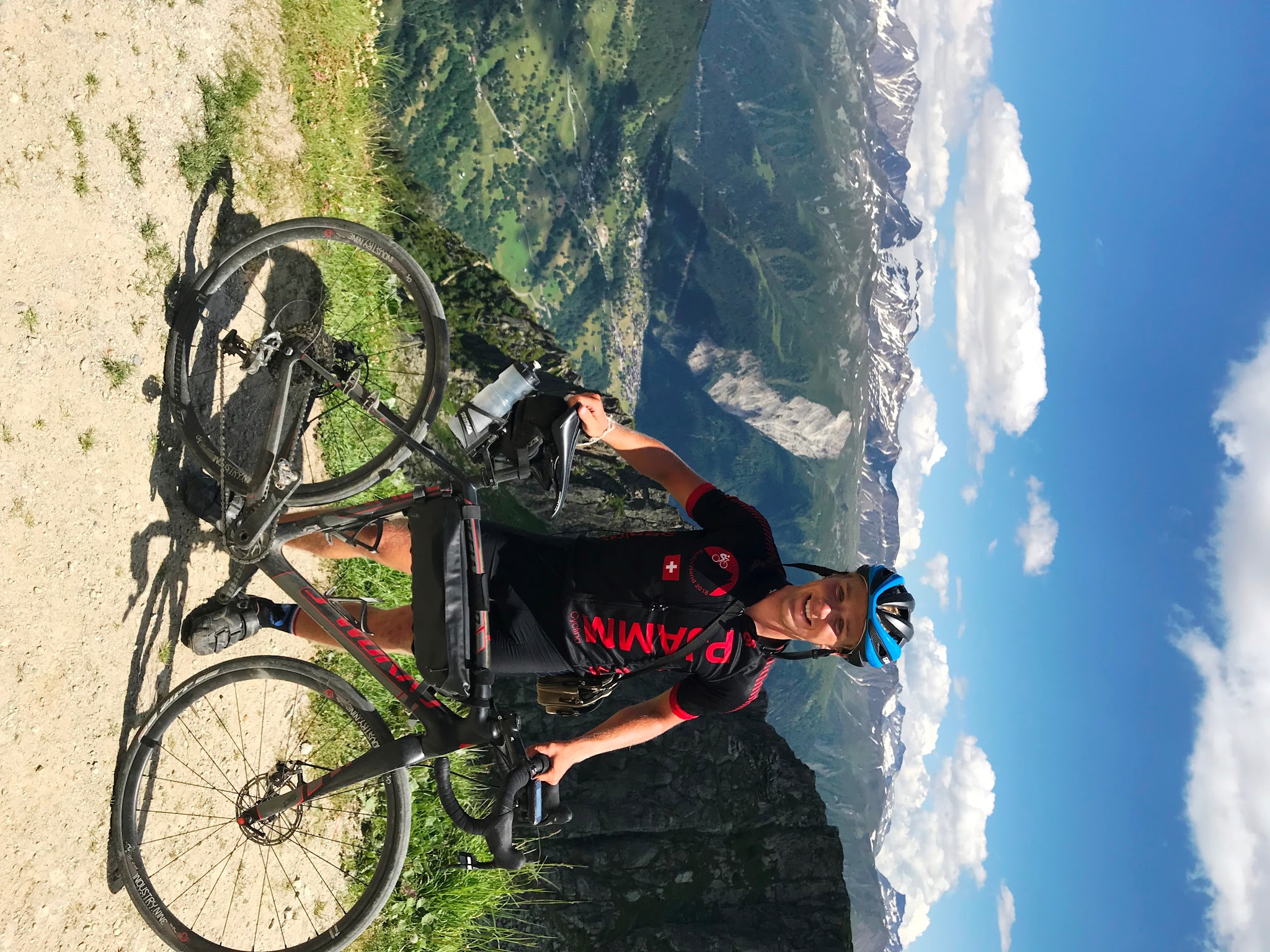
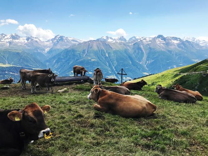
What makes it distinctive is the mix: this isn't a smooth Alpine pass, it's a working ski-area access road that briefly turns to dirt, climbs through a livestock pasture, and passes a small roadside shrine before finishing among the hairpins of the Bellwald-Richinen ski slopes. A short tunnel near the top leads to a panorama over the valley floor more than 1,200 meters below. We rode it ourselves on a cross bike with 28mm tires and can confirm it's passable on a road bike if you're comfortable on gravel, though a gravel or cross bike is the smarter choice.
A gate around 2.3 km in appears meant to control vehicle access to the upper mountain, though cyclists have had no trouble continuing past it. The appeal here is mostly the ride itself: a quiet, increasingly wild climb with some of the best glacier-country views in the Goms Valley.
PLAN YOUR ROUTE
 We've partnered with Sherpa-Map.com to bring you the best route planning tool. With a PRO Membership you can use this climb as a reference when creating your route.
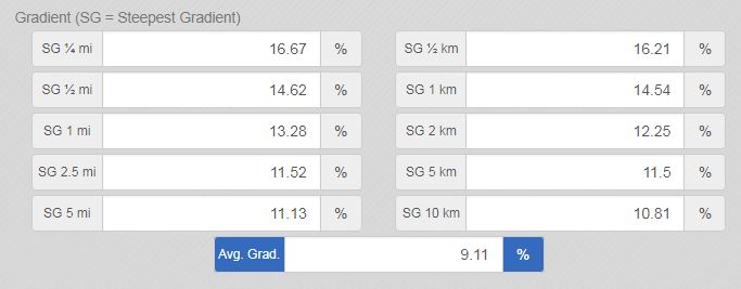
 Marjalensee climbs steadily from Lax at a 9.0% average over 9.0 miles, gaining 4,364 feet by the finish at 7,682 feet. The grade isn't even throughout - documented rider data shows the steepest kilometer comes early, around the 2.2 km mark, averaging 14.5% as the road switches back through the first set of hairpins above town. After that opening test, the gradient settles into a more moderate rhythm through the forested and ski-area midsection, before a final steep pitch through the upper hairpins near the Bellwald-Richinen slopes. Riders should be prepared for the grade to spike well into double digits more than once, especially once the pavement gives way to gravel higher up.
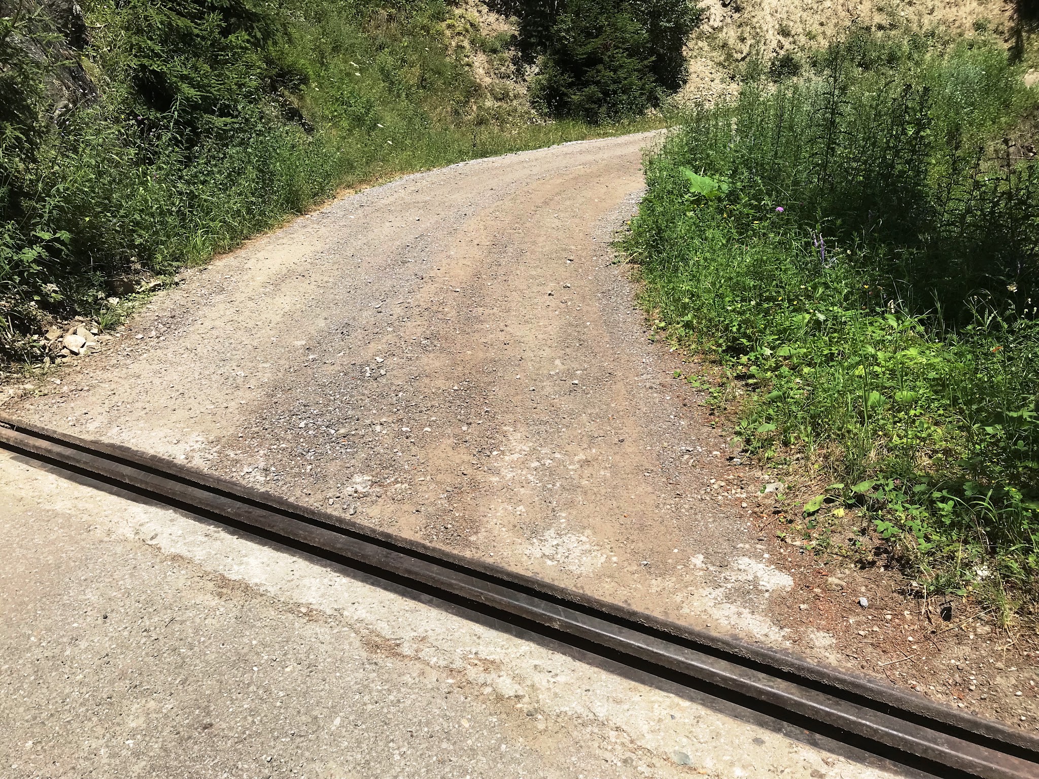
Roadway: The lower kilometers out of Lax are paved, but the surface deteriorates to a rough gravel and dirt track once the route enters the Bellwald ski-area terrain, roughly two-thirds of the way up. A gravel or cross bike with wider tires is the sensible choice - we rode it on 28mm tires and found it manageable, if occasionally rough, the rest of the way to the finish.
Traffic: Traffic is very light throughout. A gate around 2.3 km appears meant to limit vehicle access to the upper mountain; cyclists can continue past it, and beyond that point you're mostly sharing the road with hikers, livestock, and the occasional ski-area service vehicle.
Parking: Lax is a small village with limited formal parking - street parking is available near Oberdorf, close to the Route 19 (Furkastrasse) junction where the climb begins. There's no dedicated trailhead lot, so plan to park along the street and be considerate of local access.
Bring a gravel or cross bike, or at minimum wide tires (28mm or wider) if riding a road bike - the upper third of the climb is unpaved and rough enough that narrow tires and low-volume rims will struggle. There are no services (water, food) once you leave Lax, so carry what you need for the full 9-mile round trip up and back. The finish sits above 7,600 feet in exposed ski terrain, so pack a layer for the descent even on a warm day, and keep an eye out for grazing livestock near the top.
Before heading out on any cycling adventure check out our Things to Bring on a Cycling Trip and use our interactive check list to ensure you don't forget anything.
Lax and the neighboring village of Fiesch make a convenient base, with Fiesch's cable car access to Fiescheralp and the Aletsch Glacier viewpoints giving you a non-cycling way to see the same scenery on a rest day. The wider Goms Valley has several other high-alpine climbs worth combining into a multi-day trip if you're making the drive out this way. Because the finish sits above 7,600 feet in exposed terrain, it's worth checking conditions at the summit before you head out with our Weather tool.
ROUTE MAP
MEMBER RATING
CURRENT WEATHER
PJAMM TRIPS ADVENTURE STARTER BUNDLES
Check out PJAMM Adventure's prepackaged (self-guided) cycling trips. They will help you plan, document and conquer your next adventure.
NEARBY CLIMBS (0) RADIAL PROXIMITY
FROM No Climbs Found
MEMBER REVIEWS & COMMENTS
Let us know what you thought of this climb. Signup for our FREE membership to write a review or post a comment.
Already have an account?
LOG IN HERE