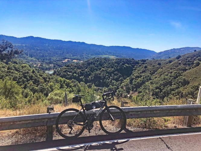
INTRO
PLAN YOUR ROUTE
 We've partnered with Sherpa-Map.com to bring you the best route planning tool. With a PRO Membership you can use this climb as a reference when creating your route.
 ROUTE MAP


 We've partnered with Sherpa-Map.com to bring you the best route planning tool. With a PRO Membership you can use this climb as a reference when creating your route.
Cycling Soda Springs Road Santa Clara County
Ride 5.5 miles to elevation 3,048 gaining 2,620’ at 8.2%
Climb summary by PJAMM’s John Johnson.
Soda Springs Road is the one of four excellent Lexington Reservoir climbs that begins on the reservoir side (east) of Highway 17. This one is a true single lane road which is in great shape and sees very little traffic, other than by cyclists (2,320 attempts on Strava as of March 27, 2016) and the few residents along the route. The climb is a bear and #4 in the Santa Clara/Santa Cruz County areas.
Before heading to Santa Cruz County on your cycling adventure, be sure to rely on our list of Things to Bring on a Cycling Trip, and use our interactive checklist to ensure you don't forget anything.
The climb is consistently steep throughout -
Never more than 12%, never less than 7%,
The steepest quarter-mile is 10%.
Lower portion of the climb.
Miles 2 through 4.
Final segment of the climb -
Climb ends at a locked gate posted “Private Road - No Umunhum or Thayer Access”
Soda Springs in the spring.
Unfortunately, although the road continues from its paved finish, the gate is locked and our Santa Clara cycling consultant answers my question about continuing on past the gate as follows:
There is a locked gate at the top of Soda Springs, unfortunately. I've never been past the gate, sometimes I ignore "private road" signs but I don't like to jump gates. There are houses near the gate, as you climb, and it looks like there are houses near the gate on the other side, so it is likely somebody would see if you jumped the gate. Soda Springs does come close to Mt Thayer and Mt Umunhum and I'm sure the roads probably do connect, but there are gates on both sides so I've never attempted it. I did read online some guy jumped the gates and took a mountain bike the whole way, but it sounded sketchy. So unfortunately, I don't know any way from Soda Springs to Mt Umunhum.
A spectacular climbing day: Black - Gist - Thompson - Montevina - Soda Springs Roads (Map) - essentially no traffic and quiet riding/climbing of 41 miles, gaining nearly 8,000'.
Roadway Surface and Traffic Report: This is a true one lane ride (sometimes just barely that) which is in good shape with next to zero traffic the entire climb - this is a safe climb.
That’s a wrap!!