![Cycling Mt. Wellington, Australia panoramic view looking down over the city, bay, mountains in background.]()
Cycling Mt. Wellington, Australia
Ride 17.6 km gaining 1,156 meters at 6.6% average grade.
Thank you Les deux Lynn, Lynn Sugden, and Lynn Rousseau (Edmonton, Alberta, CAN).
Mt. Wellington is the second hardest bike climb in Australia after Mt. Baw Baw.
![Cycling Mt. Wellington, Australia photo collage shows two PJAMM Cyclists standing with bikes in front of sign for Kunanyi/Mount Wellington; modern stone building with huge glass windows - Pinnacle Observation Shelter, view looking down from top of climb; old stone brick building reads "Cascade Brewery"; PJAMM Cycling logo in corner]()
Climb summary by PJAMM ambassador Lynn Sugden of Edmonton, Alberta, Canada.
This climb is on the Australian island state of Tasmania. Tasmania is home to the first environmental political party in the world, and 42% of its land is protected land in some way. This bicycle climb is almost entirely in Wellington Park (617 acres; established in 1993). We begin the climb a short distance west of Hobart (pop. 229,000, the largest city and capitol of Tasmania; the smallest but second oldest Australian state capital).
![Cycling Mt. Wellington, Australia Wineglass Bay seen from Mount Amos at Freycinet National Park]()
Wineglass Bay seen from Mount Amos at Freycinet National Park (photo Joaquín Salido Bello).
The 23 km climb starts at the edge of the CBD in Hobart. As such, traffic is heavy. Combined with the general disregard for cyclists on Australian roads, riders have to be on the defensive.
![Mt. Wellington Cycling Mt. Wellington - Cascade Brewery]()
Cascade Brewery - start of climb. Photo by Barrylb
![Cycling Mt. Wellington, Australia photo collage; PJAMM Cyclist rides along roadway, 6 KM mark painted on roadway]()
The traffic lets up the further into the climb you go. This reduces the frequency of stress, not the magnitude. Having said that, we received congratulatory greetings from a number of people as we strolled around the summit area.
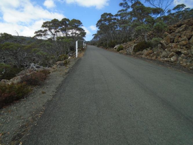
At the Cascade Brewery the CBD is left behind and the suburbs start with a constant 5% +/- grade. With 12 km to the summit you turn into the park area and the grade becomes relentless at 10% with little variability in the slope. They have painted kilometers to go signs on the road; I presume this is for the cyclists. If nothing else, the marks provided a strange sense of enjoyment.
![Cycling Mt. Wellington, Australia photo collage shows views along climb, overlooking wineglass bay, 3 km marker painted on roadway]()
We climbed Mt Wellington on a day that started overcast with heavy smoke from the bush fires burning in southwestern and central Tasmania. As the day progressed, the sun began to shine and the smoke dissipated. The photos reflect the changing environmental conditions.
![Mt. Wellington - Smoky conditions heavy smoke at the beginning of the climb]()
Nasty smoke at the outset.
![Cycling Mt. Wellington, Australia photo collage; 0 km marker, PJAMM Cyclists stand at summit of climb; coffee and pastries at summit]()
Smoke cleared a fair amount by the end of our bike climb.
Photos are from the finish of the climb - Wellington Park.
![Cycling Mt. Wellington, Australia Pinnacle Observation Shelter at climb summit]()
Pinnacle Observation Shelter and Boardwalk.
“Pinnacle observation shelter opening hours - The Pinnacle observation shelter and the toilets at the summit of kunanyi / Mount Wellington are open to the public from 7am to 10pm during the period 1 September to 30 April and during the winter months (1 May to 31 August) from 7am to 5:30pm. The open air lookouts at the summit can be accessed any time” (Wellington Park).
We have climbed steeper grades and we have climbed longer climbs, but we have not been on too many climbs that combined each to the degree of Mt Wellington.

 We've partnered with Sherpa-Map.com to bring you the best route planning tool. With a PRO Membership you can use this climb as a reference when creating your route.

