31.4
PDI
7.5 mi
DISTANCE
3,816 ft
GAINED
9.7 %
AVG. GRADE
FULL CLIMB STATS
INTRO
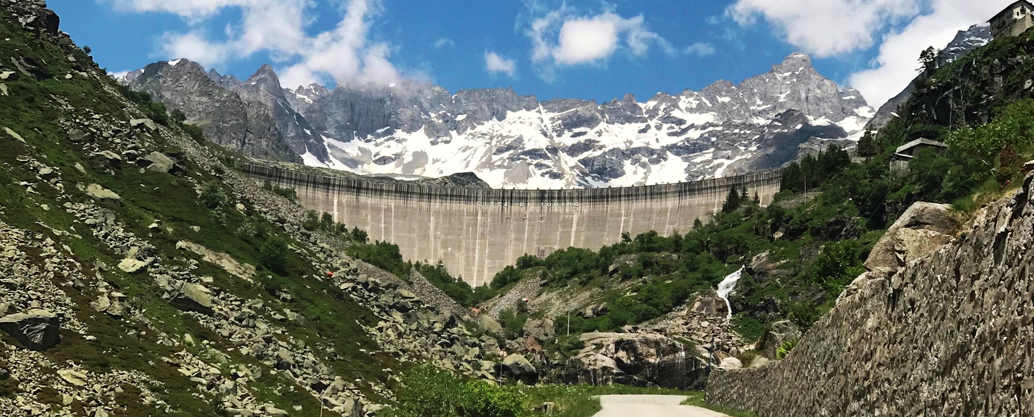
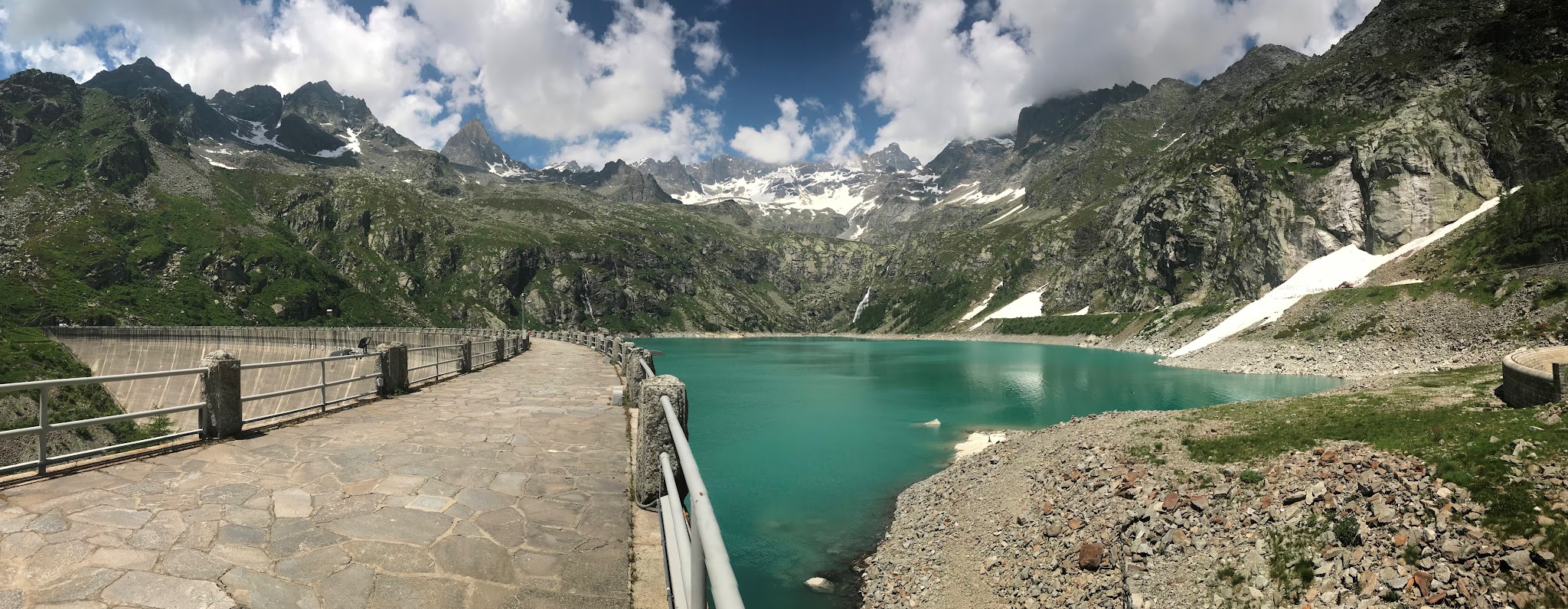
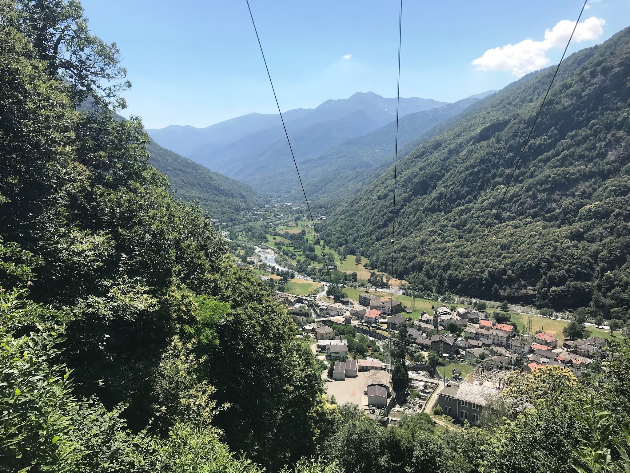
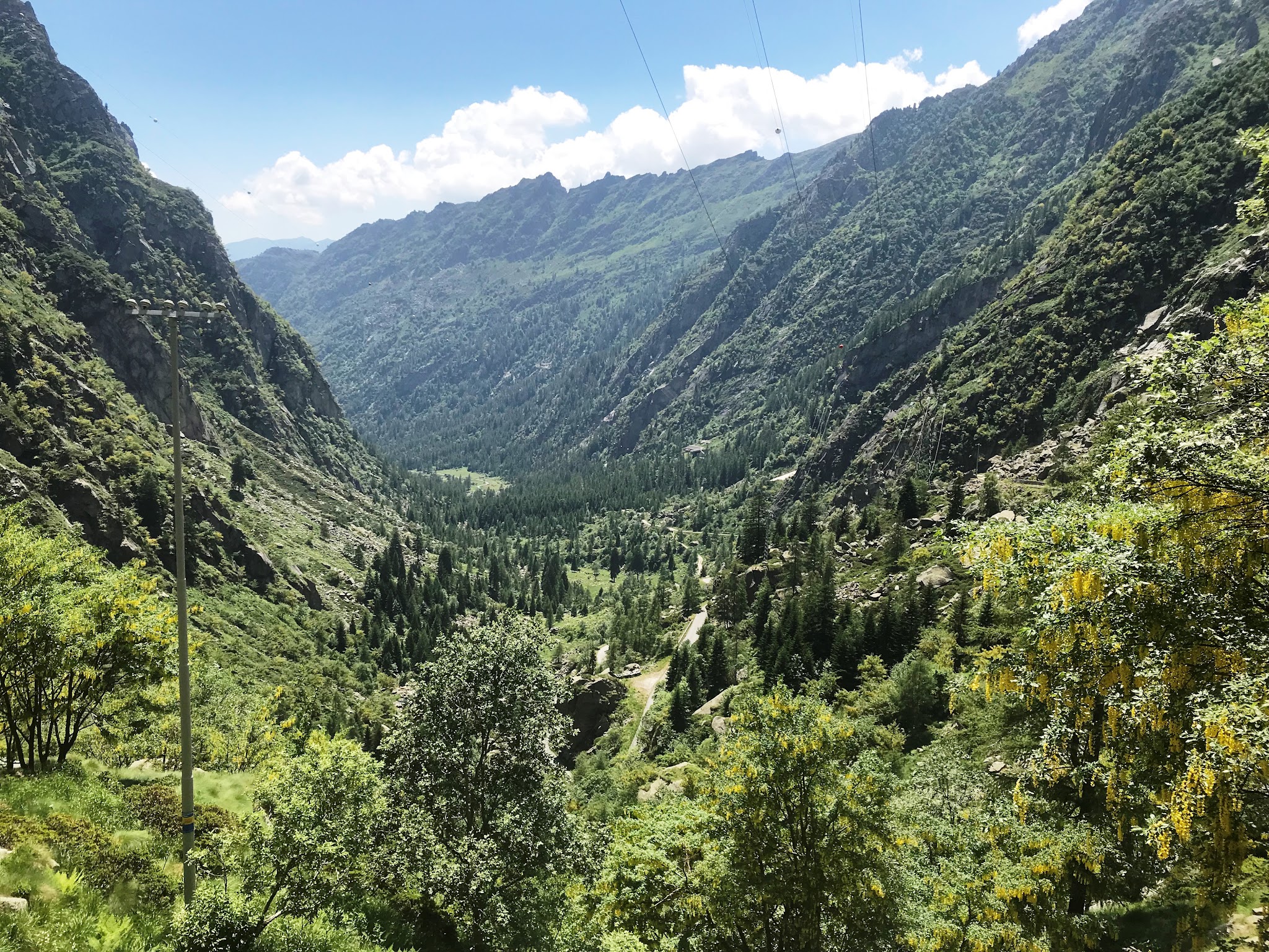
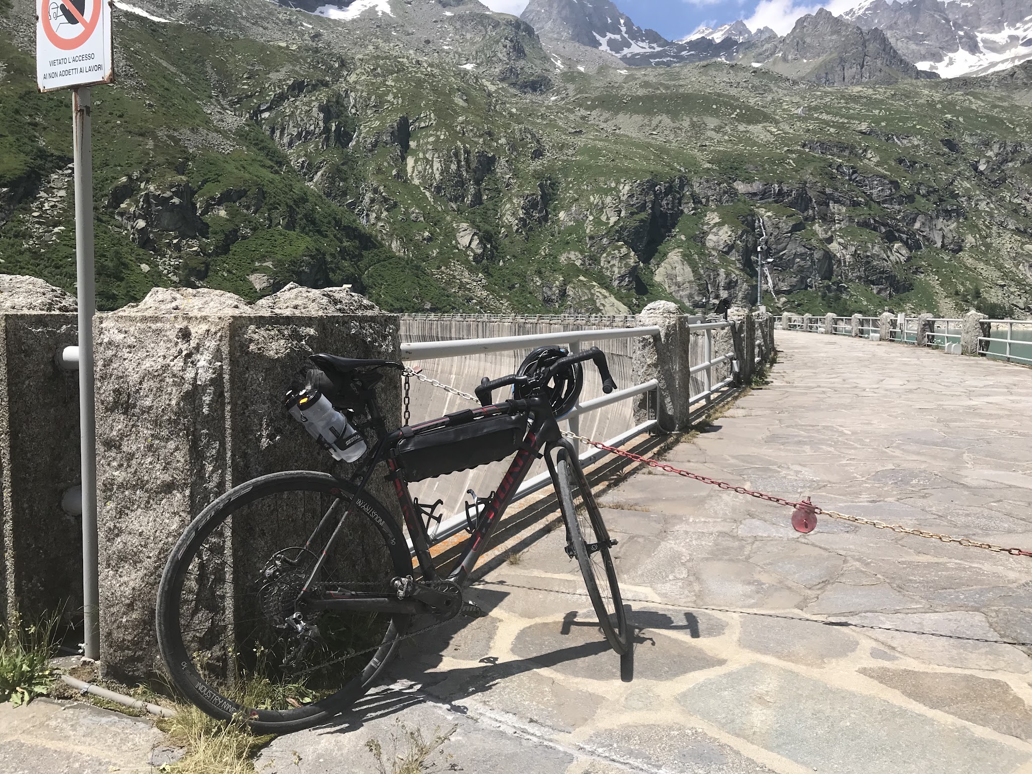
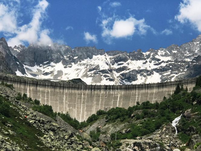
Lago di Teleccio is a 7.5-mile, HC-category climb in Italy's Piemonte region beginning in Rosone, a hamlet of Locana in the Orco Valley, and finishing at an artificial hydroelectric lake inside Gran Paradiso National Park. The road gains roughly 3,816 feet at a 9.7% average grade, from about 2,220 feet to just over 6,000 feet - currently #275 in the world by PDI difficulty ranking.
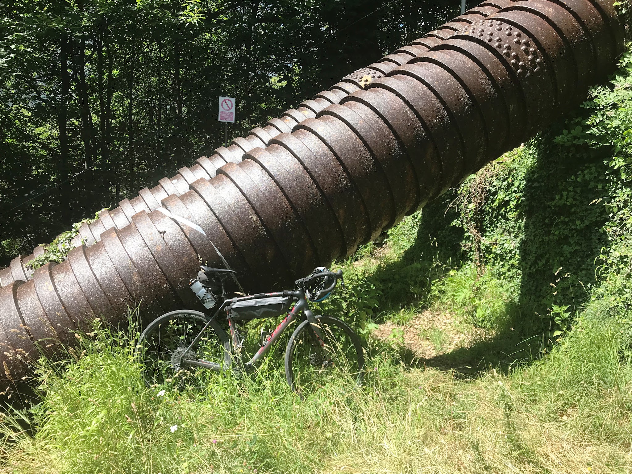
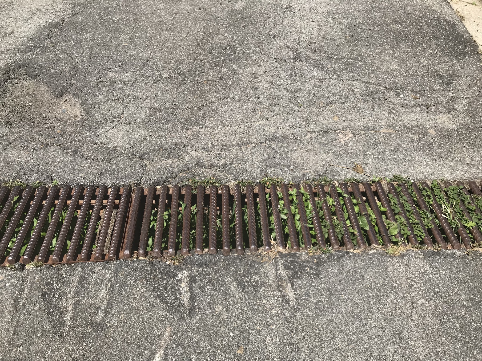
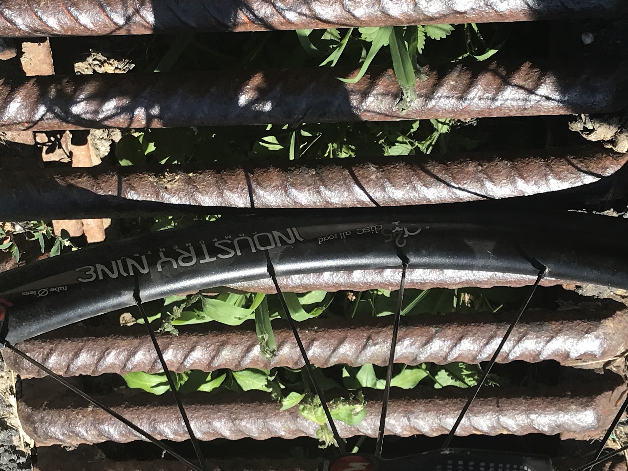
What makes it distinctive is how remote and rough it feels for a fully paved road. Past the hamlet of San Giacomo, roughly halfway up, the route becomes a private hydroelectric-utility road operated by IREN - a vehicle barrier blocks cars beyond that point, but cyclists and walkers are allowed through. From there the road climbs alone through a wild, desolate side valley of the Piantonetto torrent, past waterfalls crashing off the cliffs, with almost no other traffic. The pavement is rideable but patched and uneven in several landslide-repaired sections, and the road crosses roughly eight wide iron drainage grates on the upper half that have caused real crashes - cross them as close to perpendicular as you can, especially on the descent.
This corner of the Orco Valley is also the gateway to Colle del Nivolet, one of the most celebrated scenic climbs in the Alps - many riders based in Locana combine the two on a multi-day stay.
PLAN YOUR ROUTE
 We've partnered with Sherpa-Map.com to bring you the best route planning tool. With a PRO Membership you can use this climb as a reference when creating your route.
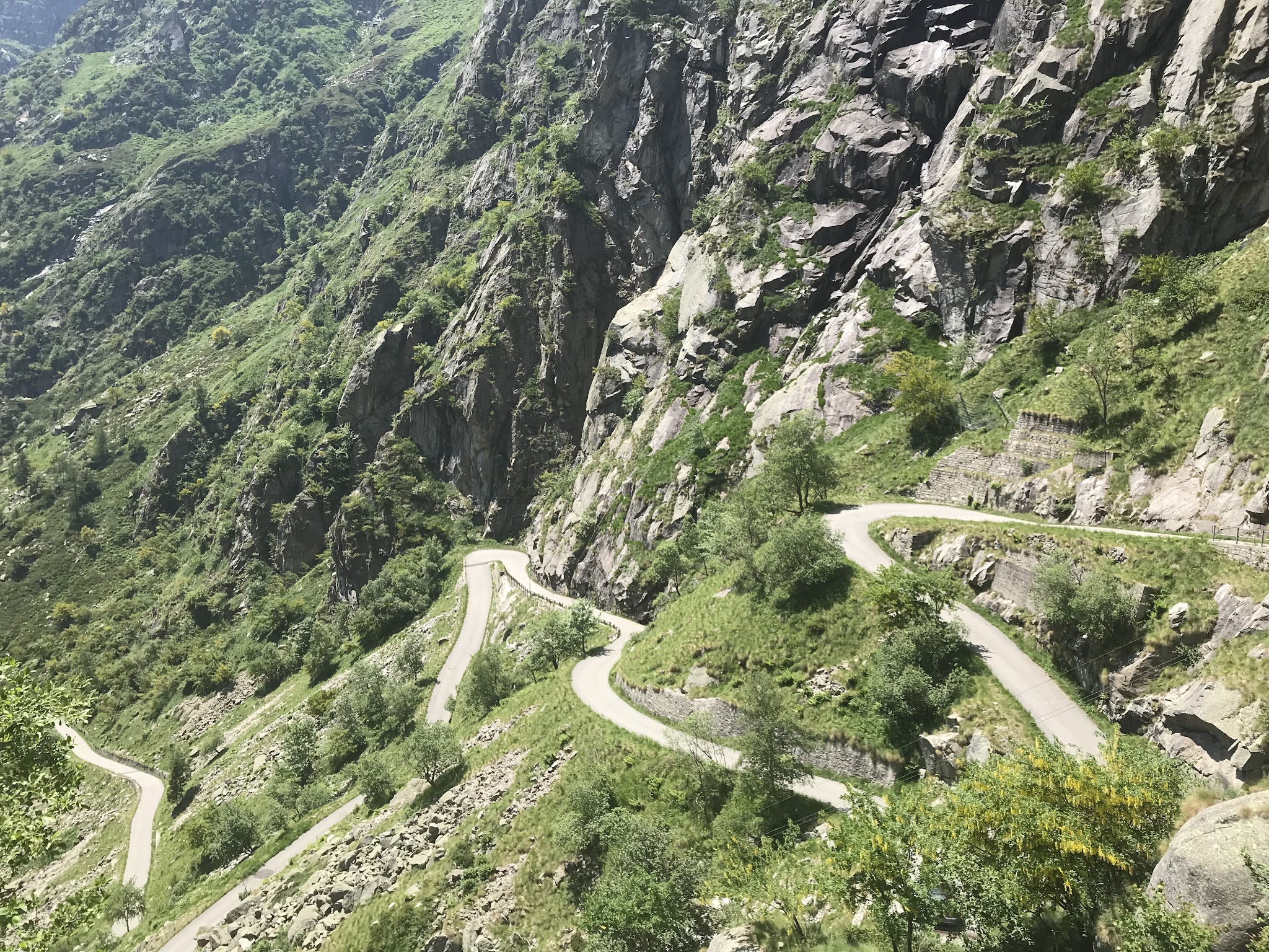
 Lago di Teleccio averages 9.7% over 7.5 miles, but that number hides real variation. The first few kilometers out of Rosone climb through a series of hairpins already in double digits before a calmer stretch through a few scattered hamlets. From there the road tips up again and stays hard: the closing mile averages 12.7%, the steepest kilometer comes in at 12.8%, and the single steepest 100-yard stretch touches 13.7%, with rider reports of brief pitches into the high teens on the final approach to the dam.
It's one of the toughest paved climbs in Piedmont - compact gearing (a 34-tooth chainring paired with at least a 32-tooth cog is a common recommendation) is worth having, since there's no real flat recovery once the road turns up the Piantonetto valley.
Roadway: The road is paved for its entire length, but it's rough rather than smooth - about eight sections were rebuilt after landslides and have re-patched surfaces, and riders should expect potholes and loose stone in spots rather than a clean strip of asphalt. The bigger hazard is the roughly eight wide iron drainage grates that cross the road at an angle on the upper half; cross them as close to perpendicular as possible, since multiple riders have crashed on them, especially on the way back down. Past the hamlet of San Giacomo, about halfway up, the road becomes a private hydroelectric-utility road operated by IREN - a vehicle barrier blocks cars beyond this point, but cyclists and pedestrians are allowed through, and the final few hundred meters before the dam are rough cobblestone.
Traffic: Traffic is light the entire way and essentially nonexistent past the IREN barrier - riders consistently report meeting few or no cars, aside from an occasional utility vehicle near the top.
Parking: Rosone, the hamlet of Locana where the climb begins, is a small village with informal roadside parking near its center rather than a dedicated climber's lot; arrive early on summer weekends if you want a spot close to the start.
There are no services at all on the private upper half of the climb past San Giacomo - no cafes, shops, or water taps, just the sound of waterfalls off the cliffs. Fill bottles before you leave Rosone; a couple of small hamlets in the lower half have public fountains, and Trattoria San Lorenzo, in Locana's San Lorenzo hamlet along the route, is a good spot for food before or after the ride.
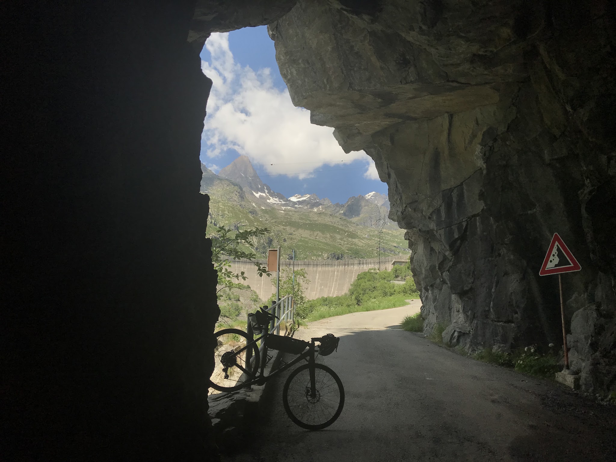
Run at least 28mm tires if you can - several riders have flatted or crashed on the road's drainage grates and patched, occasionally gravelly sections - and bring a light even in daylight for the short rock tunnel near the top. Rifugio Pontese, a mountain hut about a 45-minute walk from where the road ends at the lake, has food and lodging if you want to extend the trip on foot.
Before heading out on any cycling adventure check out our Things to Bring on a Cycling Trip and use our interactive check list to ensure you don't forget anything.
Rosone and greater Locana have a handful of small guesthouses (Camere d'Aria, B&B Il Bucaneve, and B&B La Tana della Volpe among them) that work well as a base, and the road is normally rideable from May through October - it holds snow into spring like most climbs in this part of the Gran Paradiso high country. Because the top half runs on a private utility road, this is really an out-and-back with no loop option, so budget legs and time for the same steep, rough descent.
If you're staying in the area, our Routes in the Area tool is a good way to see what else is climbable nearby - Colle del Nivolet, a few miles up the main valley from Locana, is one of the most celebrated scenic climbs in the Alps and pairs naturally with Teleccio over a multi-day visit.
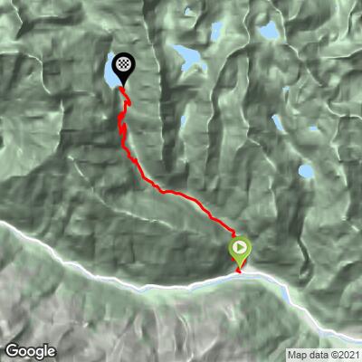
ROUTE MAP
MEMBER RATING
CURRENT WEATHER
PJAMM TRIPS ADVENTURE STARTER BUNDLES
Check out PJAMM Adventure's prepackaged (self-guided) cycling trips. They will help you plan, document and conquer your next adventure.
NEARBY CLIMBS (0) RADIAL PROXIMITY
FROM No Climbs Found
MEMBER REVIEWS & COMMENTS
Let us know what you thought of this climb. Signup for our FREE membership to write a review or post a comment.
Already have an account?
LOG IN HERE