33
PDI
11.9 mi
DISTANCE
3,951 ft
GAINED
6.3 %
AVG. GRADE
FULL CLIMB STATS
INTRO
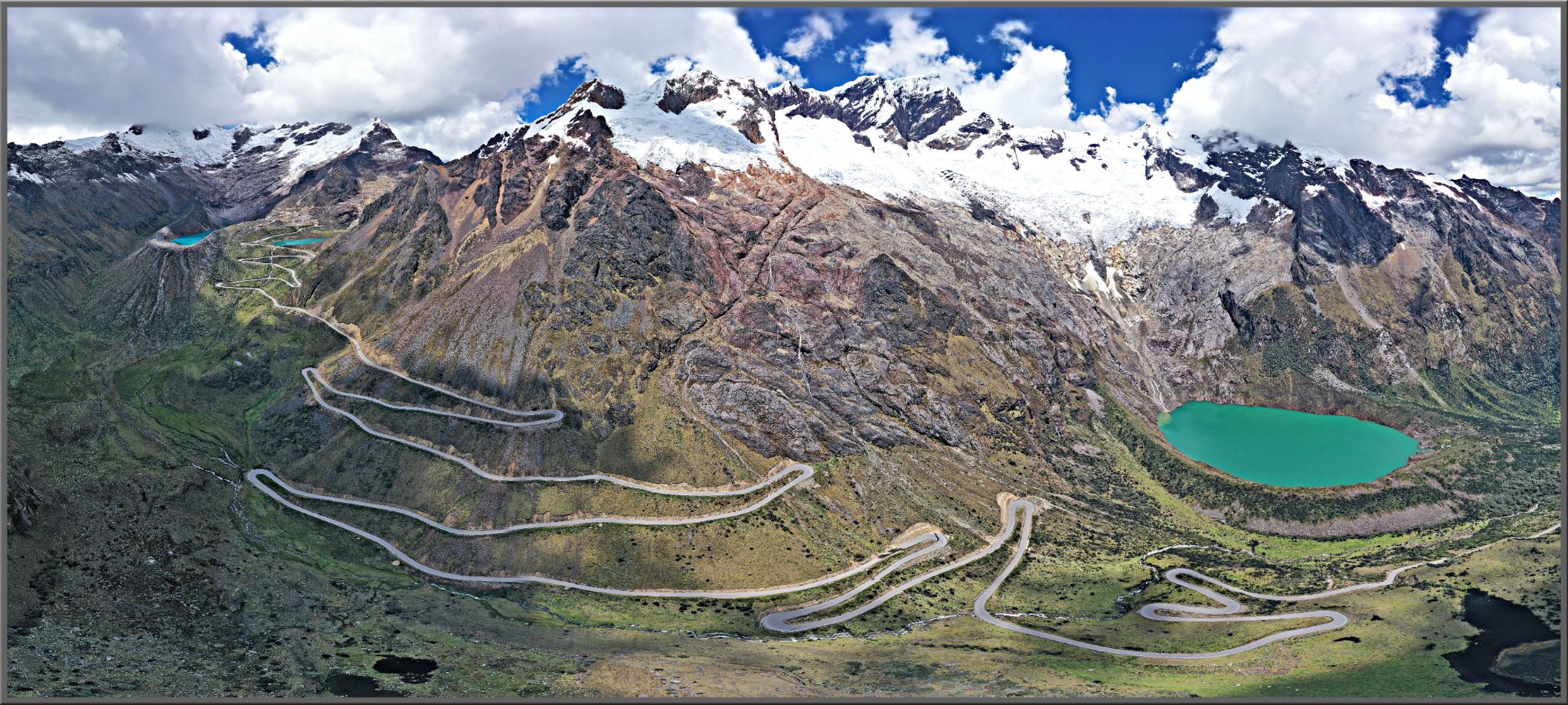
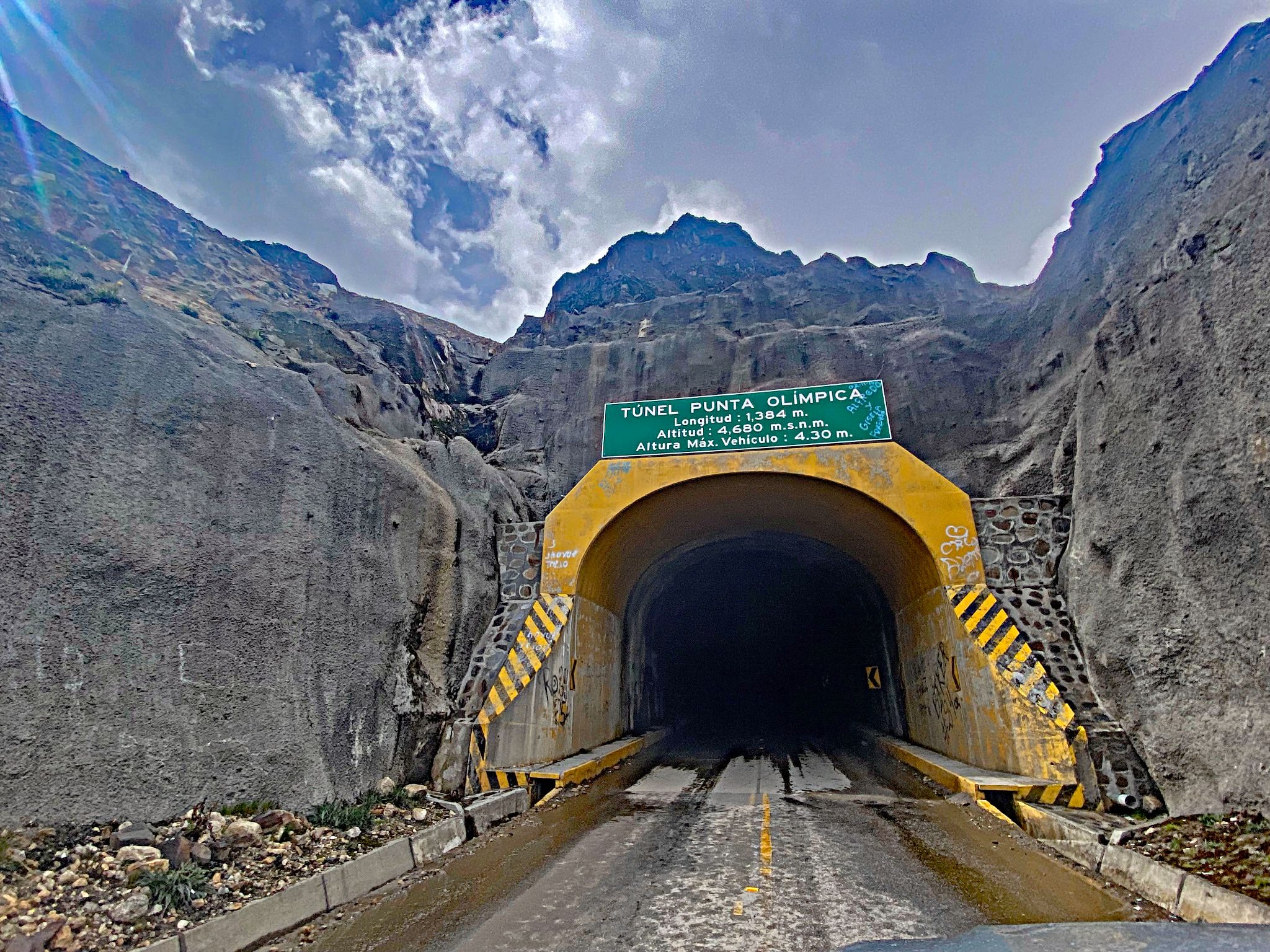
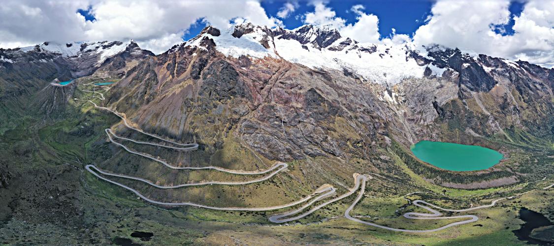
Every bit as epic as its counterpart on the Carhuaz side, Punta Olimpica (which we rate as the second most epic climb in the world), this east-side ascent climbs from Huallin, in the Conchucos valley, up to the Punta Olimpica tunnel - at 15,535 ft (4,735 m), the highest vehicular tunnel in the world. Our route covers 11.9 mi (19.2 km) and gains 3,951 ft (1,204 m) at an average grade of 6.3%.
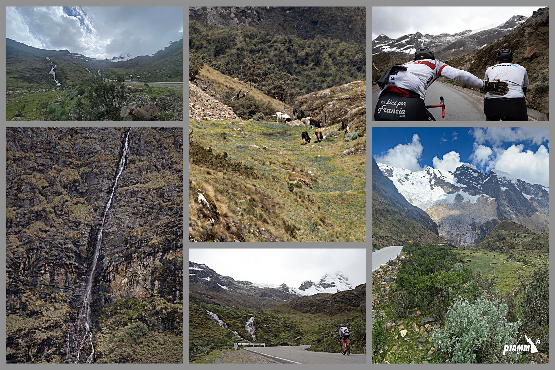
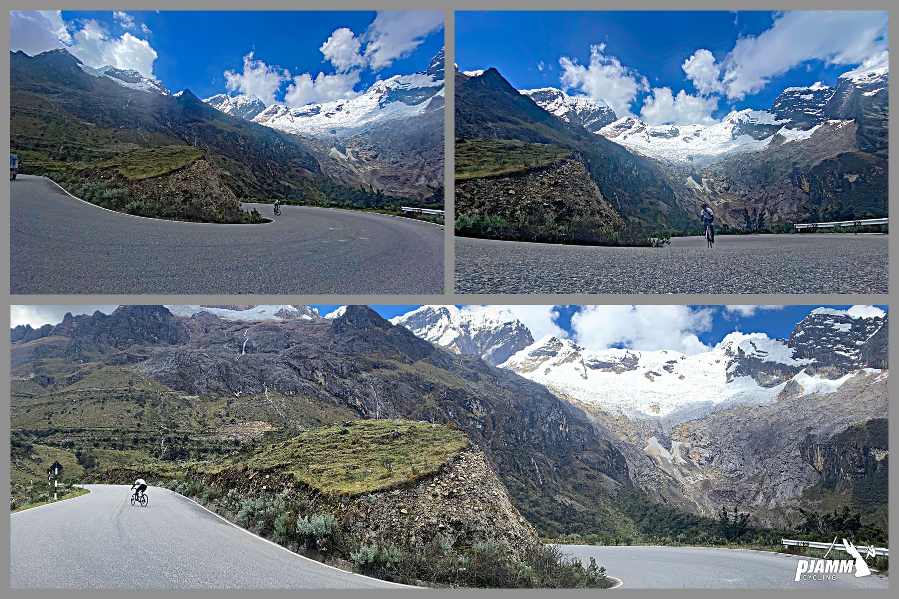
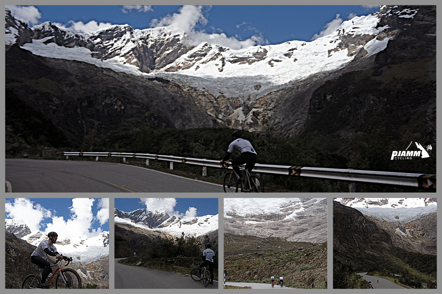
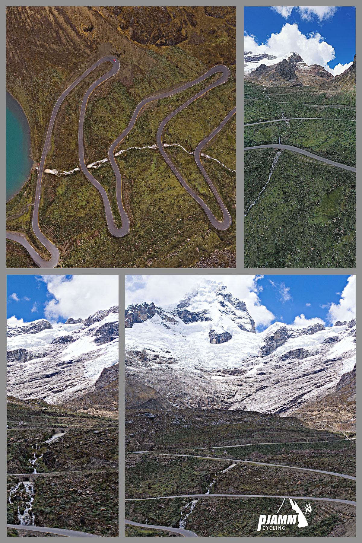
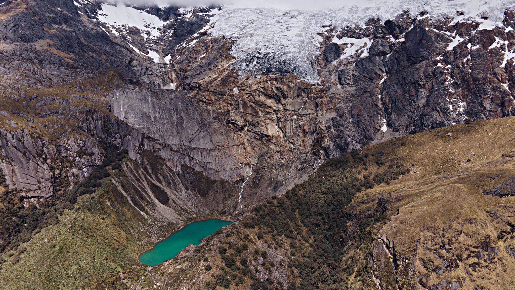
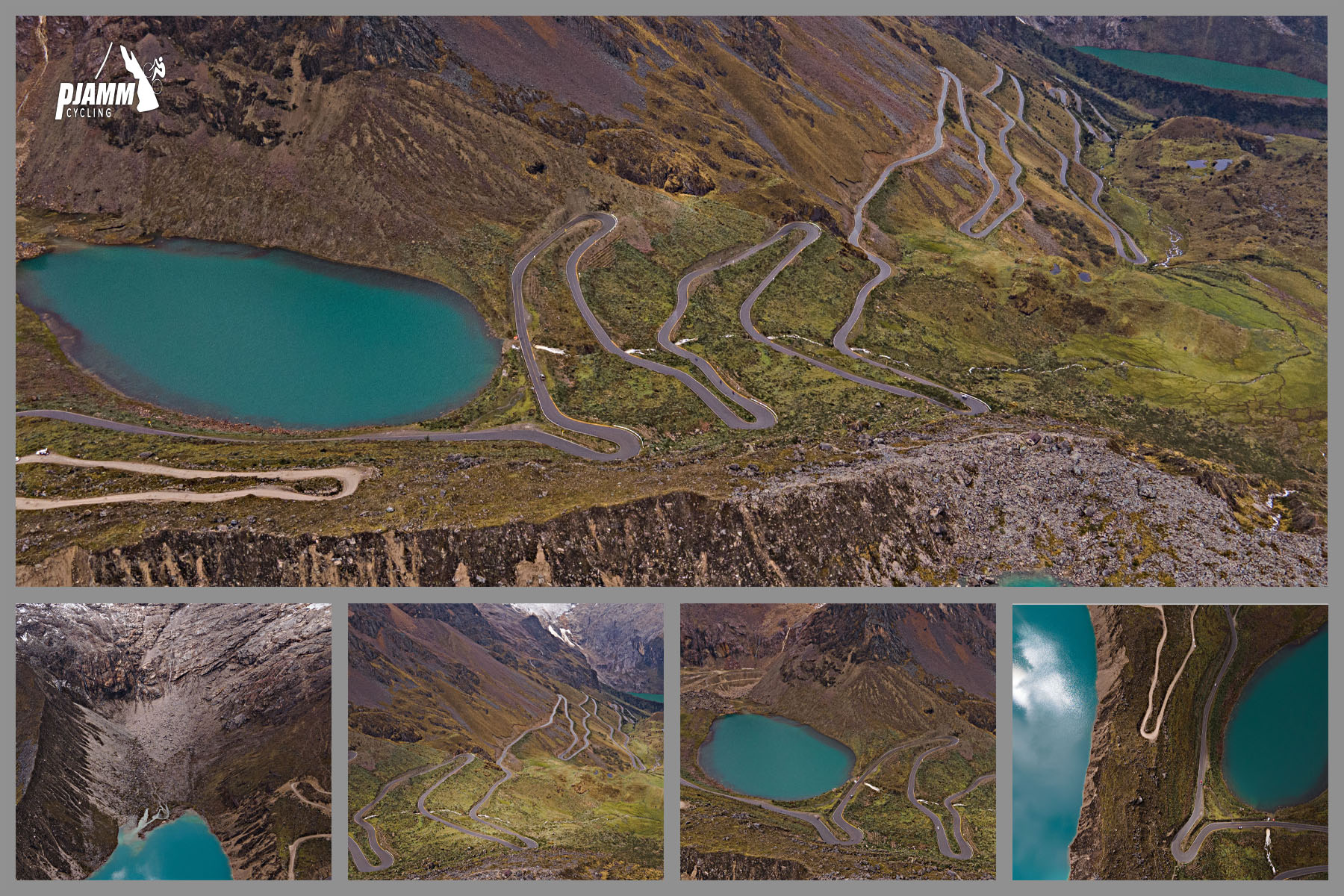
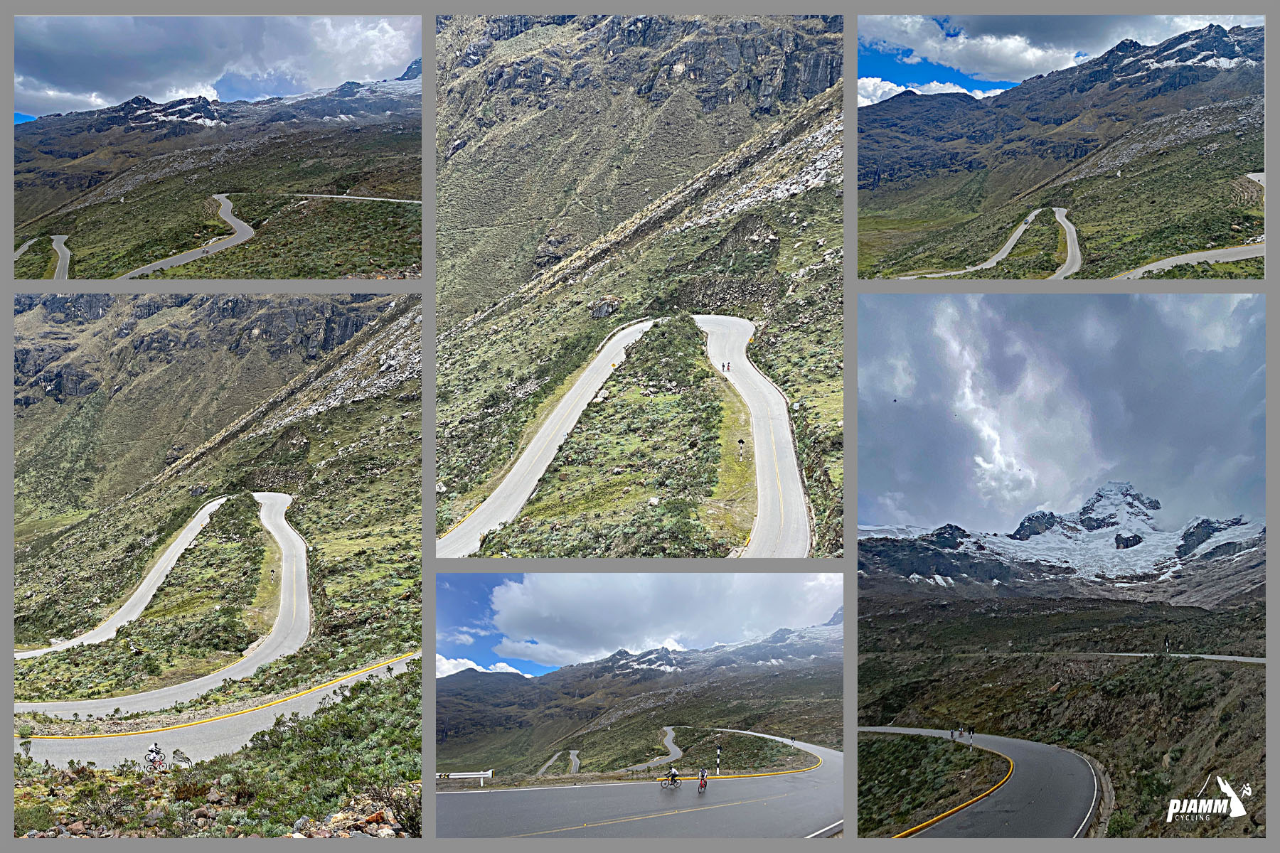
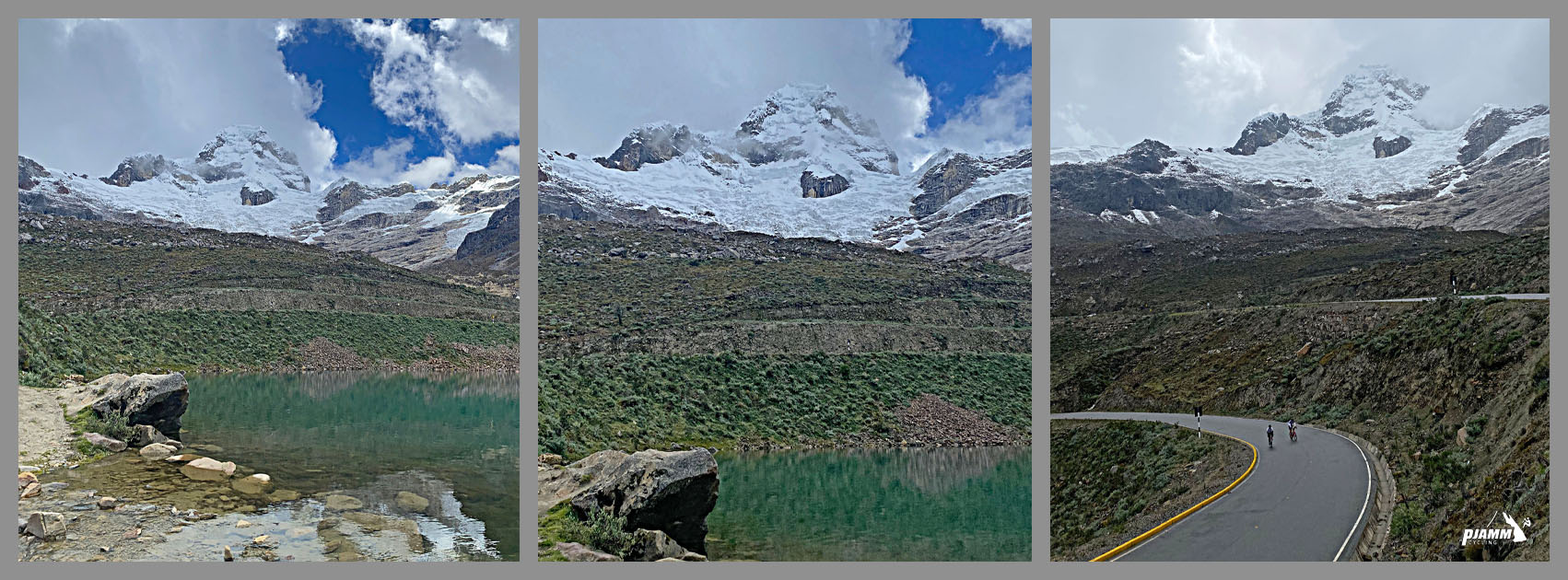
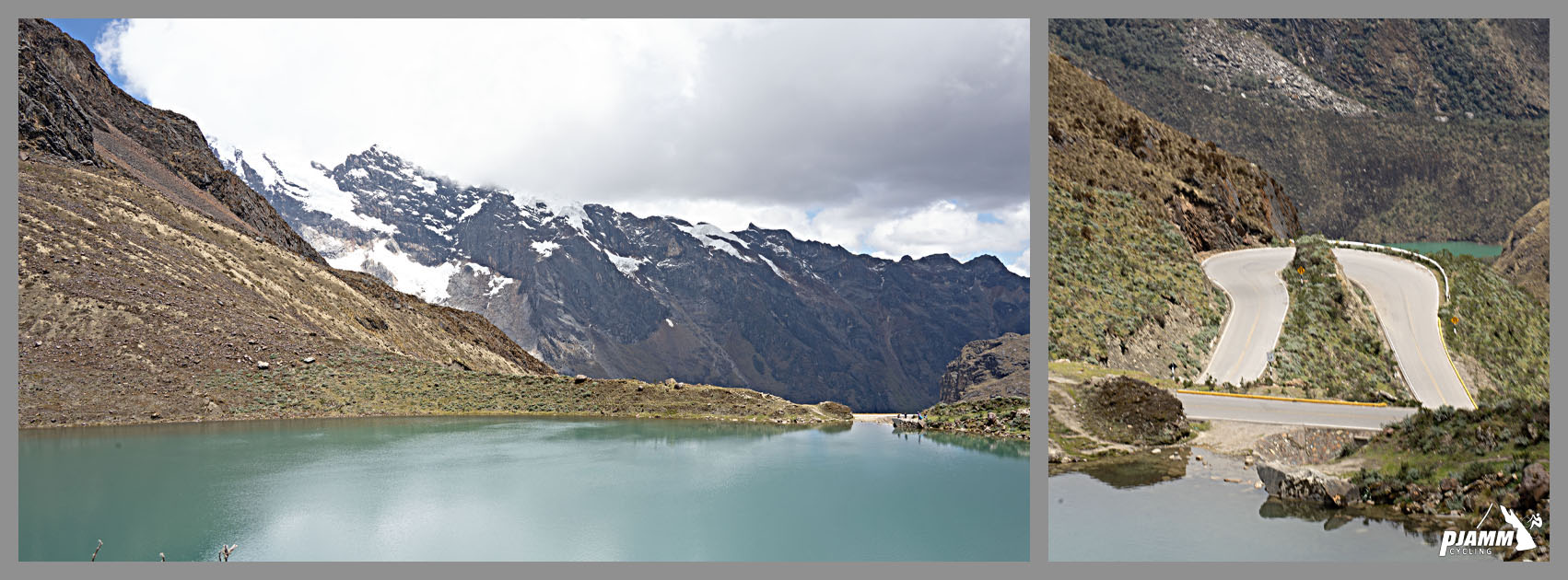
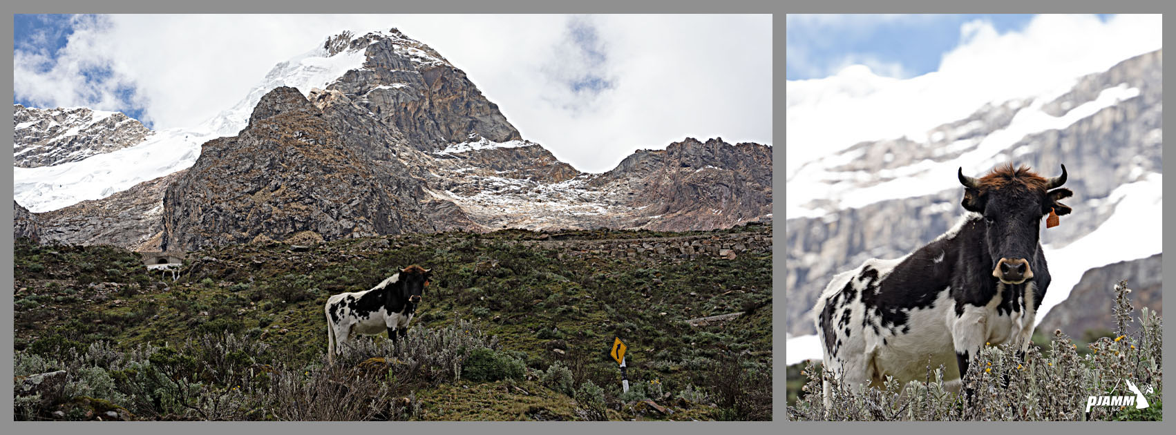
The road climbs through Huascarán National Park past glaciers, high alpine lakes and dozens of glacial streams, with the snow-capped 6,000+ meter peaks of the Cordillera Blanca in view for nearly the entire ride. It's one of the highest paved climbs in the world, and one of the very few roads anywhere that tunnels through a mountain at this altitude rather than crossing over it.
The tunnel opened in 2013, the final piece of a road that took decades to complete (construction began in the 1920s), cutting what was once a roughly 9-hour crossing between Carhuaz and Chacas down to about 2.5 hours.
The road is paved essentially the entire way, with the exception of a short stretch through the village of Shilla lower on the mountain. This is unsupported, high-altitude terrain, so come prepared (see Gear & Provisions) and acclimatize before attempting it.
PLAN YOUR ROUTE
 We've partnered with Sherpa-Map.com to bring you the best route planning tool. With a PRO Membership you can use this climb as a reference when creating your route.
 Average grade is 6.3% over 11.9 mi (19.2 km), gaining 3,951 ft (1,204 m). The steepest mile, in the climb's upper reaches, averages 9.2%.
Roadway: The road is paved nearly the entire way through Huascarán National Park in excellent condition, with the exception of a short unpaved stretch through the village of Shilla lower on the mountain. The climb finishes at the east portal of the Punta Olimpica tunnel, the highest vehicular tunnel in the world at 15,535 ft (4,735 m).
Traffic: Light. This is a real regional highway (Route AN-107) connecting Carhuaz and Chacas, not just a dead-end tourist road, but traffic is still mostly limited to the occasional local vehicle, tour van, or truck using the tunnel to cross the range.
Parking: There's a small rural town (Huallin) where you can park at the start of the climb, and a scenic overlook at a lake near the finish - probably the better spot. We used a SAG vehicle that drove along with us and never had to park, which we'd recommend given how remote this climb is.
Gear:
As you can assume from the altitude, these climbs can get very, very cold at the top. When riding this high in the mountains, rain and snow storms can formulate and appear at a moments notice. Make sure you bring sufficient cold gear and an emergency rain jacket, even if it's warm and sunny when you start!
Provisions:
This climb is unsupported. You pass dozens of streams, which we drank out of as the water is 'probably' safe... pure, Andean glacier water!
Before heading out on any cycling adventure check out our Things to Bring on a Cycling Trip and use our interactive check list to ensure you don't forget anything.
We stayed in Huaraz, a 90 minute drive away from the start of the climb. We highly recommend where we stayed at La Casa de Zarela, an excellent bed and breakfast with great food and extremely warm and friendly hosts.
If doing this climb again, we'd probably choose to stay in Carhuaz right at the start of Punta Olimpica, so we could easily combine the two routes. This is a very hard climb to get to, but will be without a doubt the highlight of your Peruvian cycling trip should you make the journey.
Unfortunately, all of the climbs in central Peru will require a good amount of driving to get to, regardless of where you're staying.
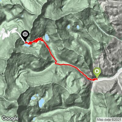
ROUTE MAP
MEMBER RATING
CURRENT WEATHER
PJAMM TRIPS ADVENTURE STARTER BUNDLES
Check out PJAMM Adventure's prepackaged (self-guided) cycling trips. They will help you plan, document and conquer your next adventure.
NEARBY CLIMBS (0) RADIAL PROXIMITY
FROM No Climbs Found
MEMBER REVIEWS & COMMENTS
Let us know what you thought of this climb. Signup for our FREE membership to write a review or post a comment.
Already have an account?
LOG IN HERE