24.1
PDI
18 mi
DISTANCE
4,669 ft
GAINED
4.9 %
AVG. GRADE
FULL CLIMB STATS
Page Contributor(s): Bill Capobianco, Laguna Beach, CA, USA
INTRO
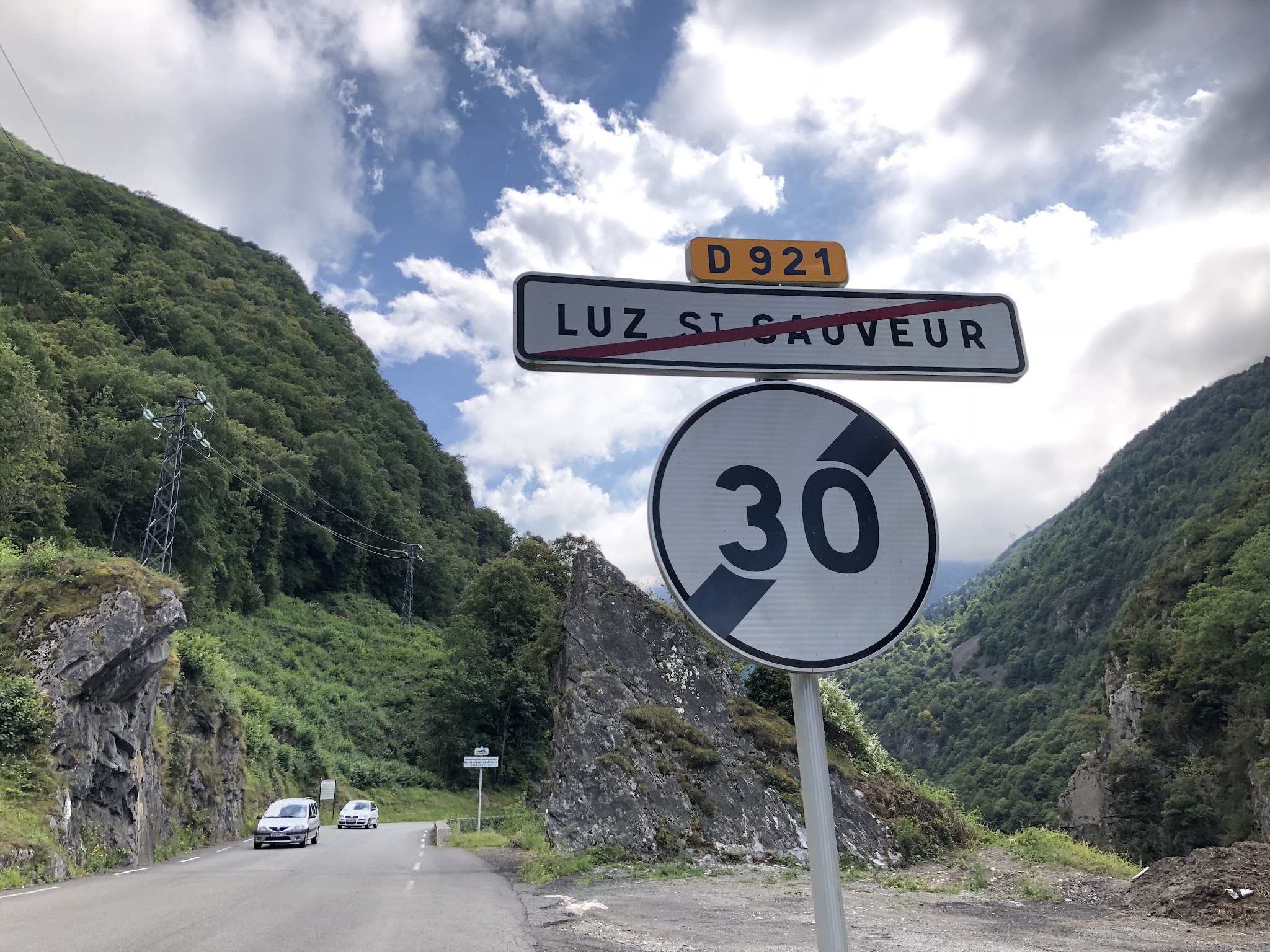
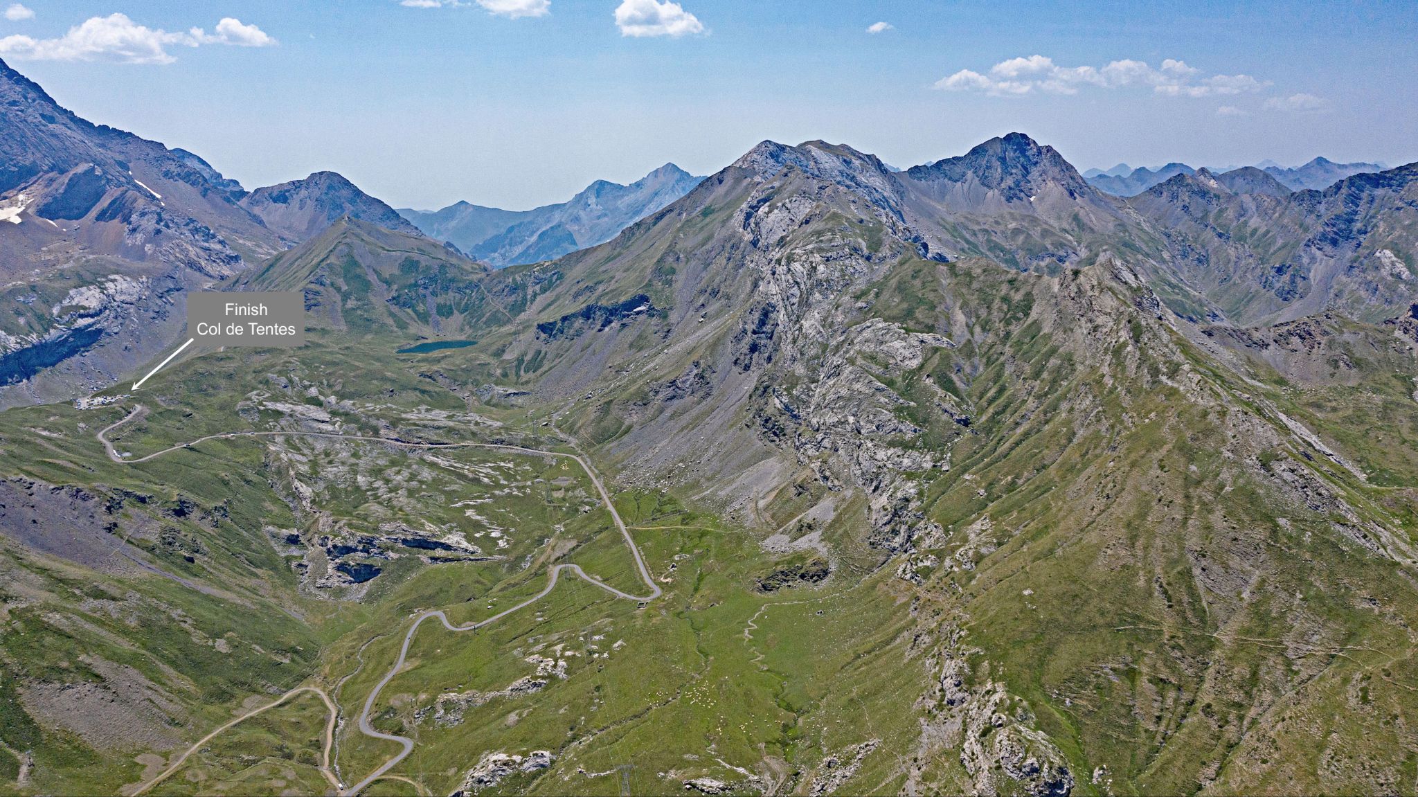
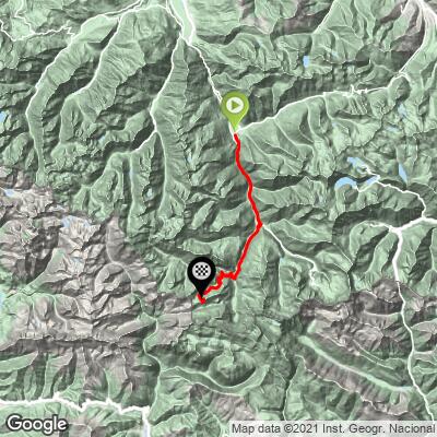
Col de Tentes is the high road above Gavarnie - the end of the pavement in the Gave de Gavarnie valley and one of the most spectacular finishes in the French Pyrenees. From Luz-Saint-Sauveur the full climb runs 29.0 km (18.0 mi) and gains 1423 m (4,669 ft) at a 4.9% average, but that average hides a ride of two halves: roughly 19 km (11.8 mi) of gentle valley climbing through the Gorge de Luz and Gèdre, then about 10 km (6.2 mi) close to 8% above Gavarnie. If you only want the steep upper half, see our Col de Tentes from Gavarnie page.
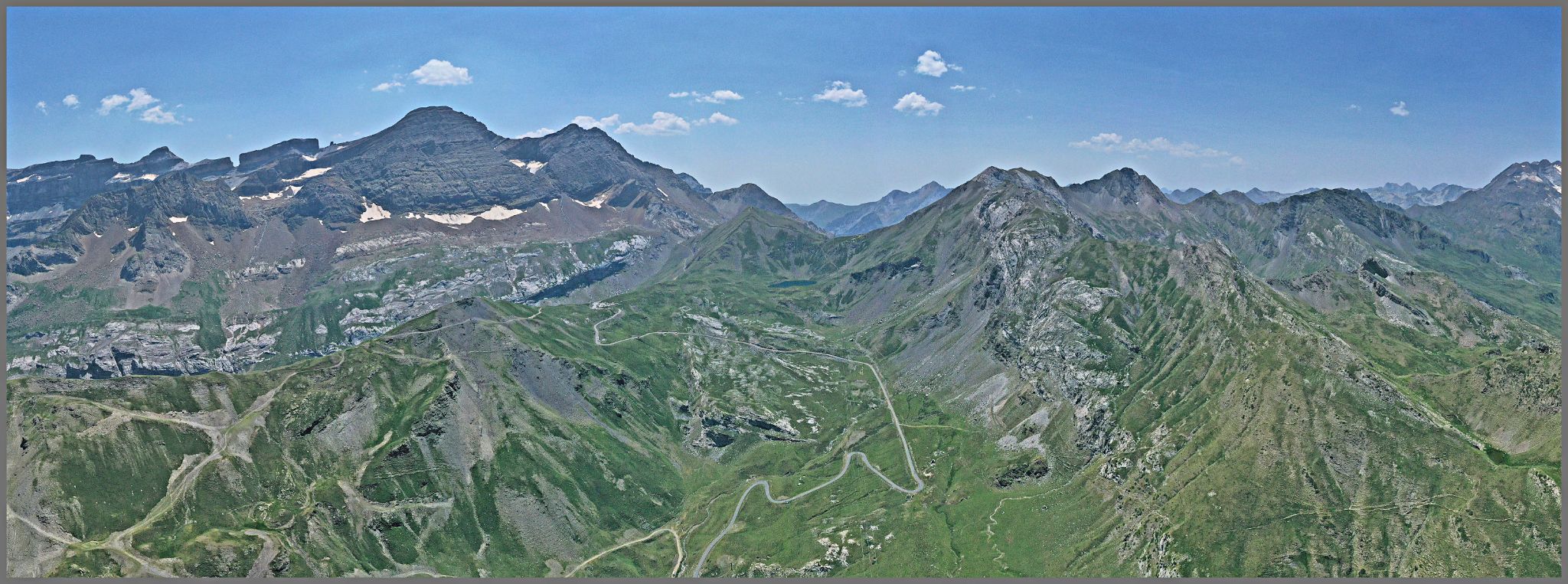
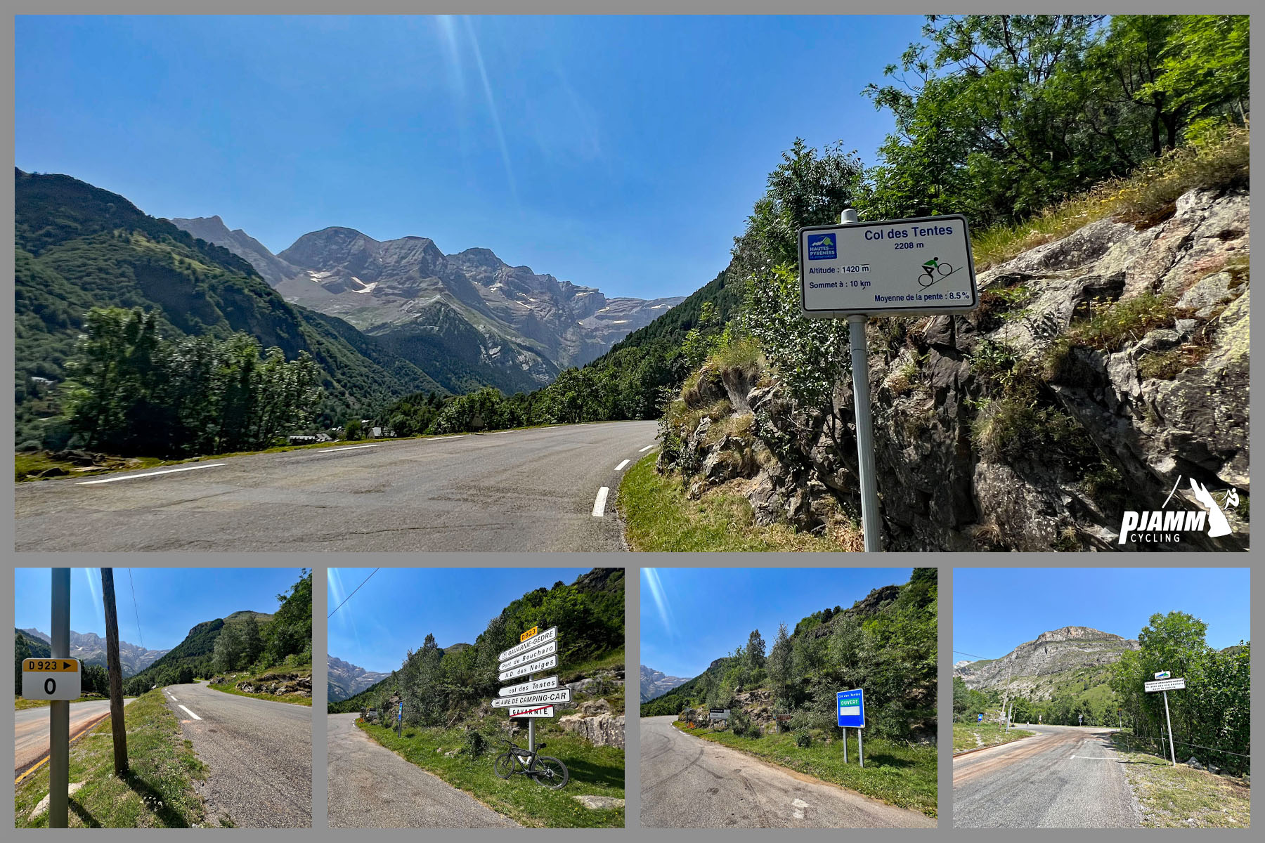
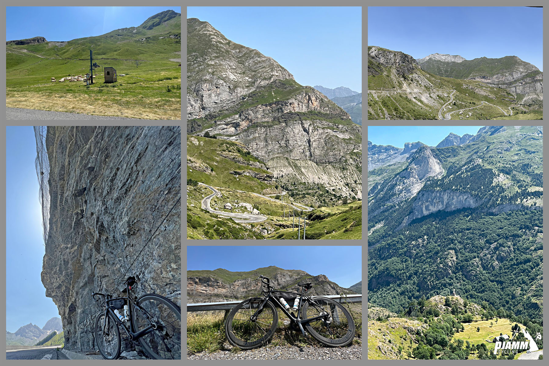
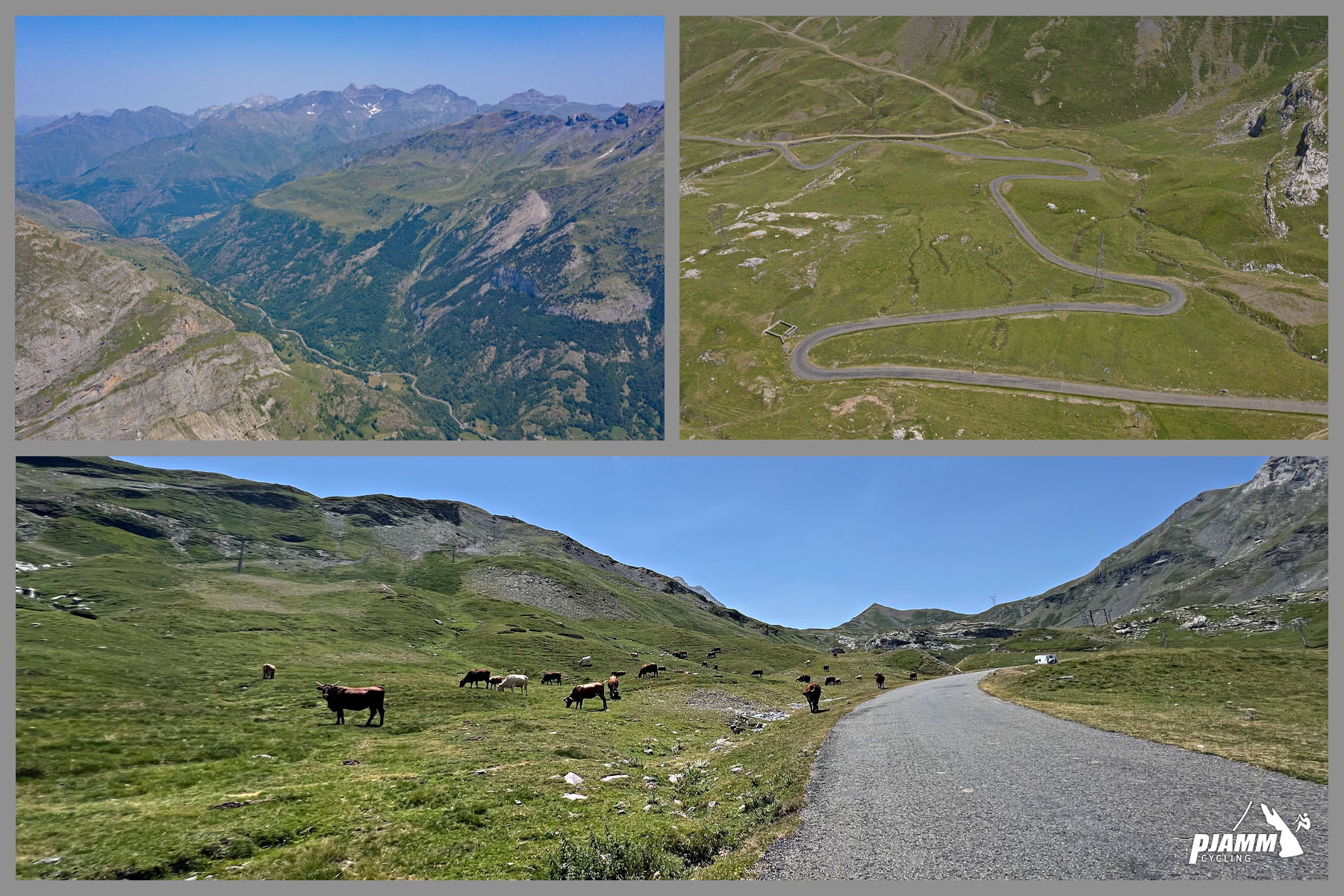
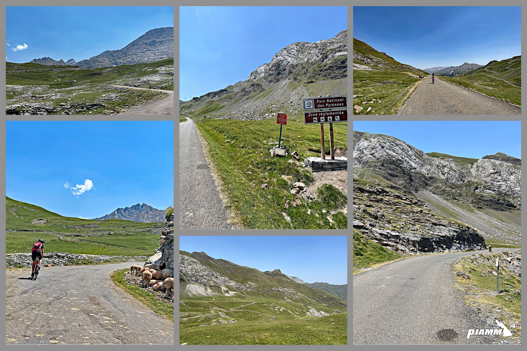
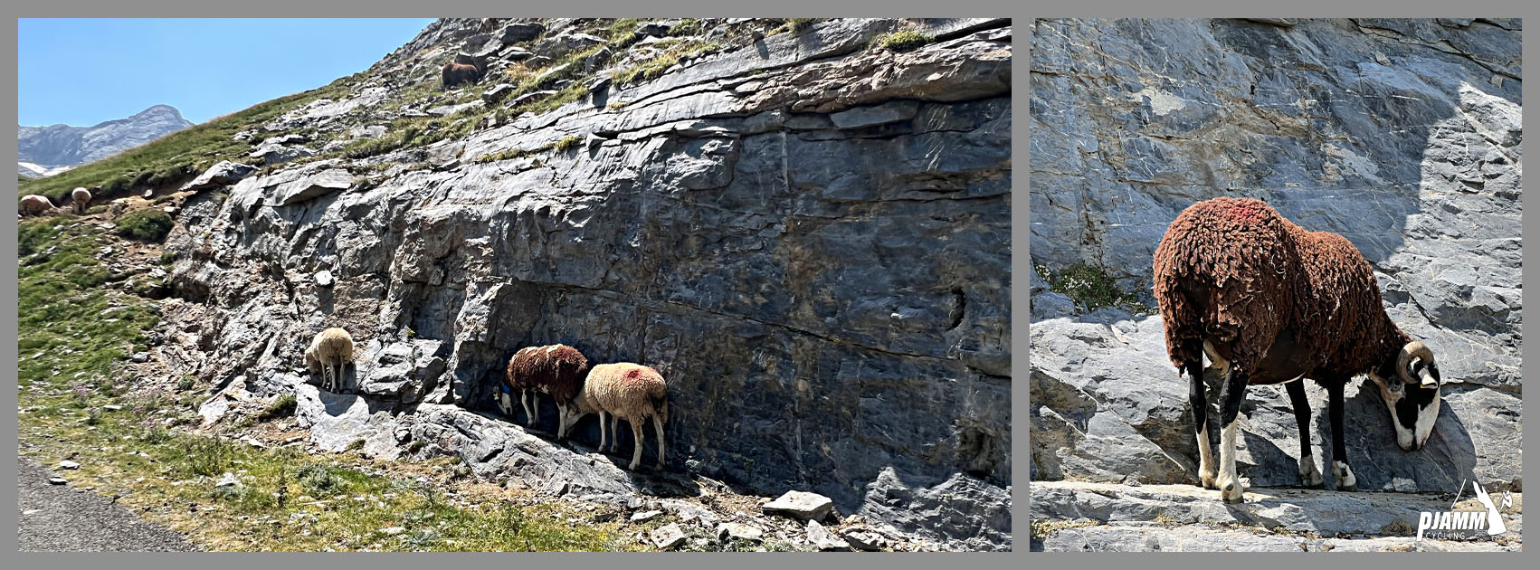
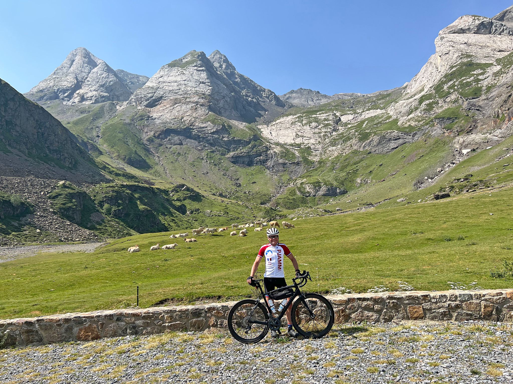
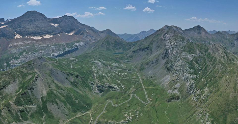
The climb starts just past Pont Napoléon, the 1861 stone arch high over the gorge that's now a bungee-jumping site, and the lower road is the same one the Tour de France used for its first-ever finish at Gavarnie-Gèdre, when Tadej Pogačar soloed to the Stage 6 win in July 2026. Above Gavarnie - a UNESCO World Heritage site at the foot of its famous cirque - the D923 climbs through open pasture in the Parc National des Pyrénées, past the small Gavarnie-Gèdre ski area and a statue of Notre-Dame des Neiges, with cattle and sheep often grazing on the road.
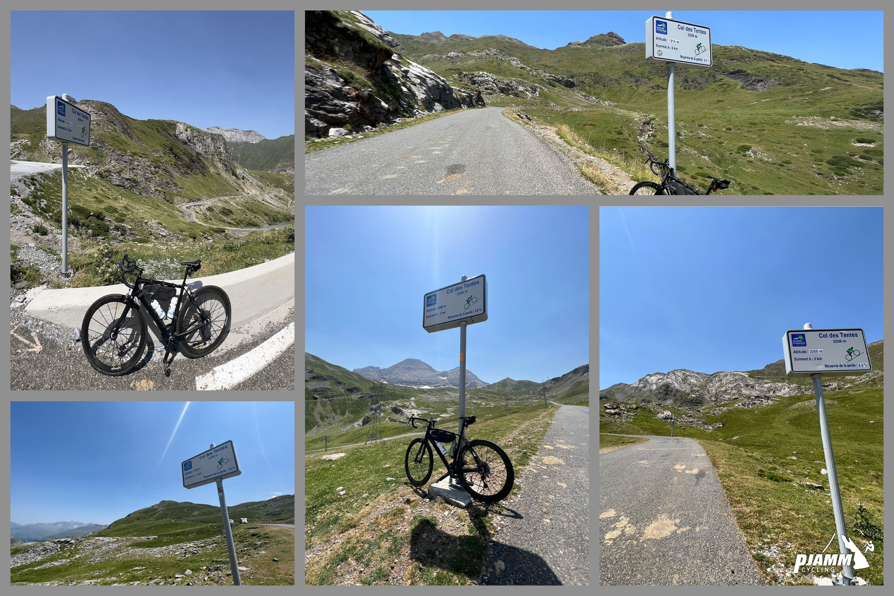
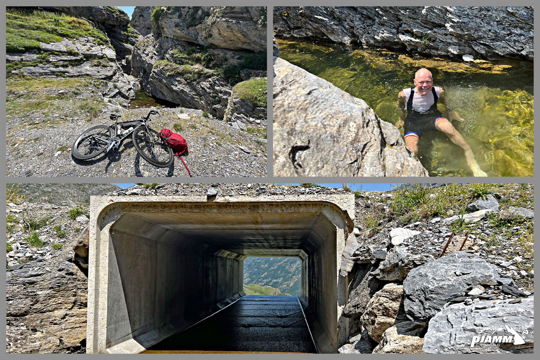
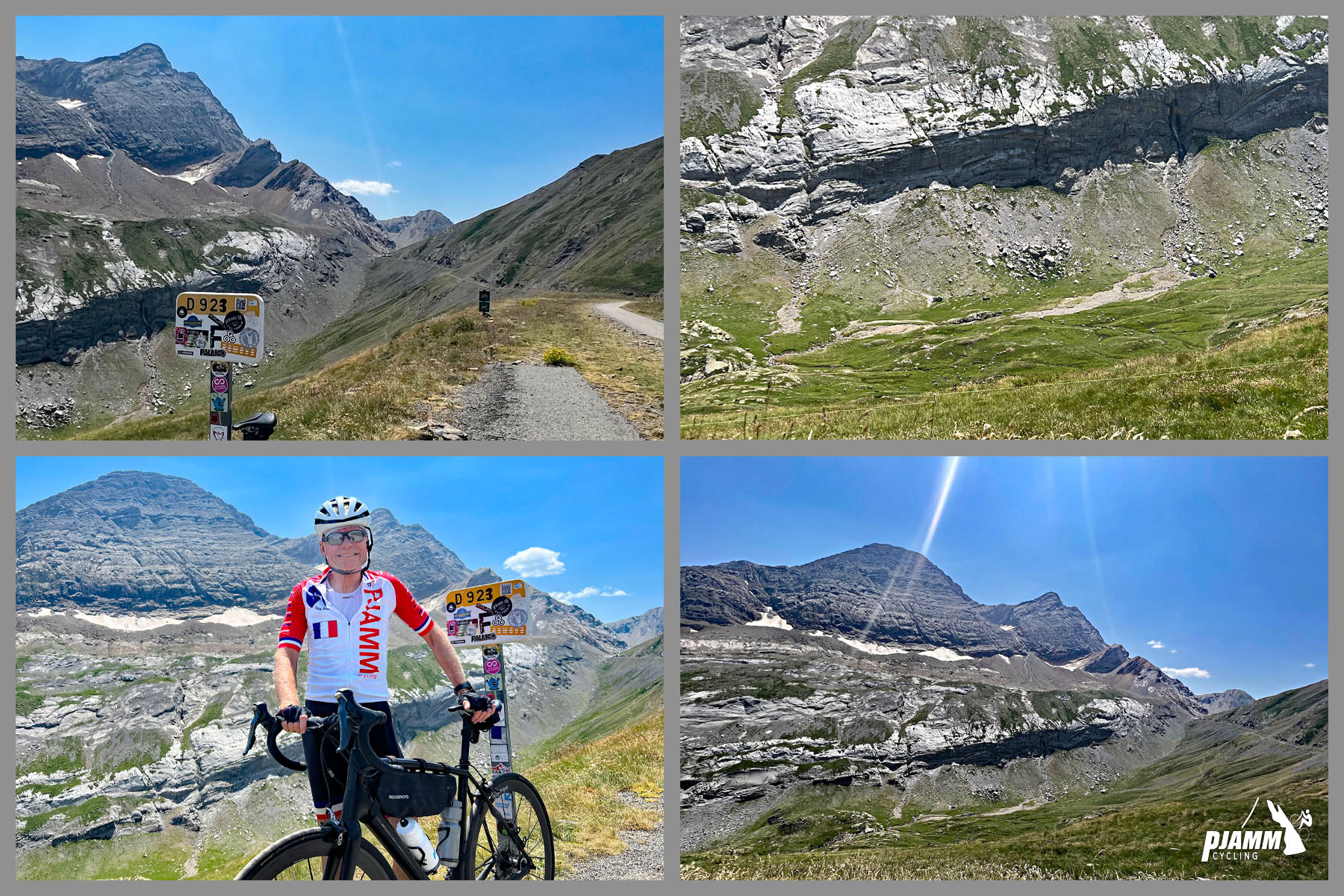
The pavement ends at the col, where the old road continues as a gravel path for about 1.6 km (1.0 mi) to Port de Boucharo on the Spanish border - a crossing Napoleon planned in 1811 but that was never completed on the Spanish side. We rode it during a July 2022 heat wave and still rate it a bucket-list climb, with almost no shade and some of the most dramatic kilometer-marker backdrops in the Pyrenees. Check current conditions with our Weather tool before you go - the upper road is fully exposed and often far cooler and windier than Luz.
PLAN YOUR ROUTE
 We've partnered with Sherpa-Map.com to bring you the best route planning tool. With a PRO Membership you can use this climb as a reference when creating your route.
 The full climb covers 29.0 km (18.0 mi) from Luz-Saint-Sauveur and gains 1423 m (4,669 ft) at an average of 4.9%.
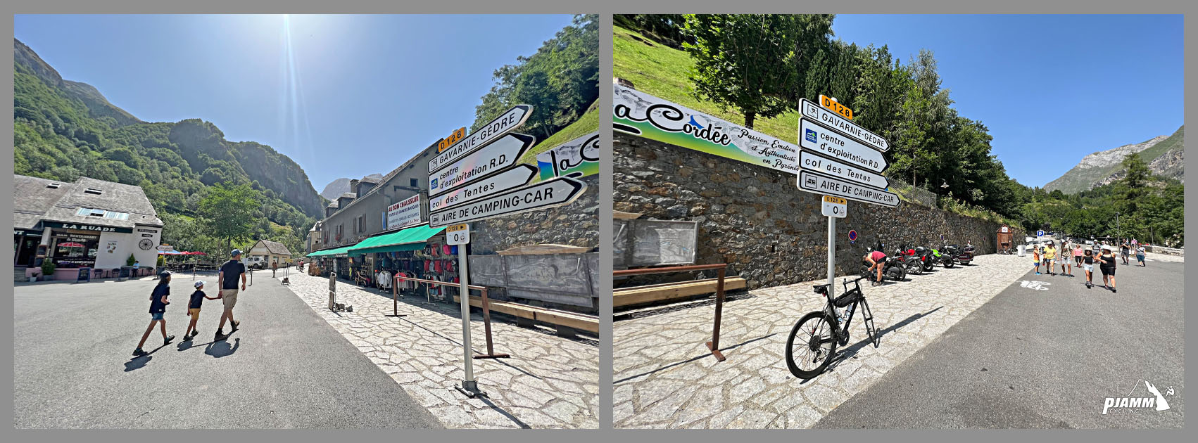
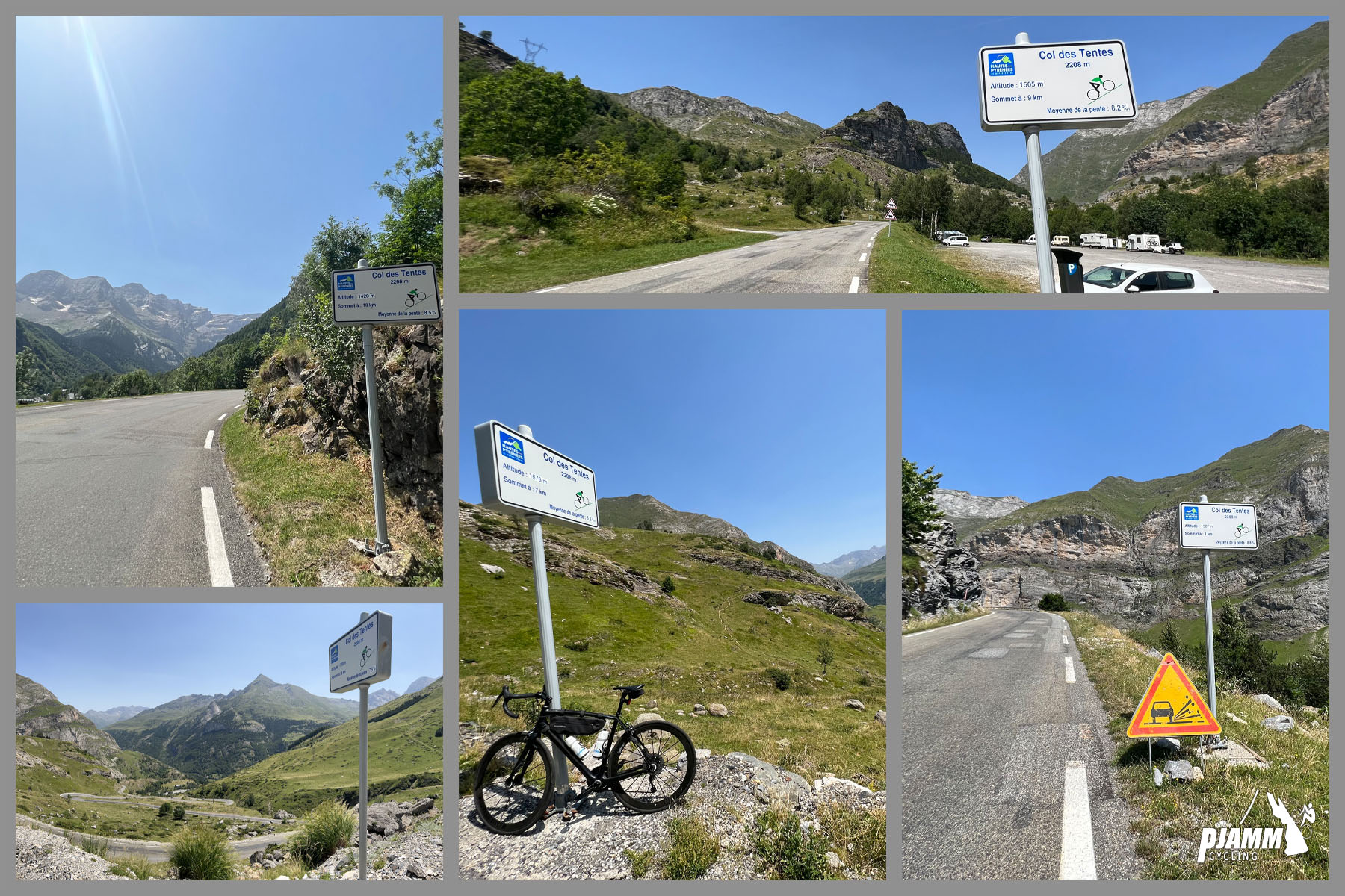
Roughly the first 19 km (11.8 mi) to Gavarnie are a long, steady false flat through the gorge, mostly 3-5% with a few steeper kicks and a pair of hairpins after Gèdre. Above Gavarnie the character changes completely: about 10 km (6.2 mi) averaging close to 8%, on remarkably regular grades that rarely stray far from 8-9%.
The steepest kilometer averages 8.8%, the steepest 5 km 8.1%, and the steepest 10 km 7.7%. Kilometer markers count down each kilometer of the upper climb.
Roadway: Paved all the way to the col. The D921 through the gorge is a wide, well-kept valley road, and the D923 above Gavarnie has good, regular pavement up to the ski station; above it the road is less well maintained, with cattle and sheep grazing on and beside the tarmac. The upper road isn't cleared of snow and is typically closed from late November until late spring - check the Hautes-Pyrénées department's Inforoute 65 before an early- or late-season attempt. Beyond the col, the pavement gives way to a gravel path to Port de Boucharo.
Traffic: The D921 from Luz-Saint-Sauveur to Gavarnie carries steady tourist traffic in summer, including coaches and camper vans headed for one of the most visited sites in the Pyrenees, so ride single file through the gorge. Above Gavarnie traffic thins out, though the col is a busy trailhead for the Brèche de Roland hike, so expect cars climbing to the parking areas at the top on summer mornings.
Parking: For the full climb, park in Luz-Saint-Sauveur and ride from the bridge at the south end of town. If you're only riding the upper half, note that in summer Gavarnie's village center is closed to cars from about 9:00 to 17:30 and visitors must use the paid lots at the village entrance (€7 per car per day as of 2025). There are also parking areas at Col de Tentes itself, but they fill early with hikers on summer days.
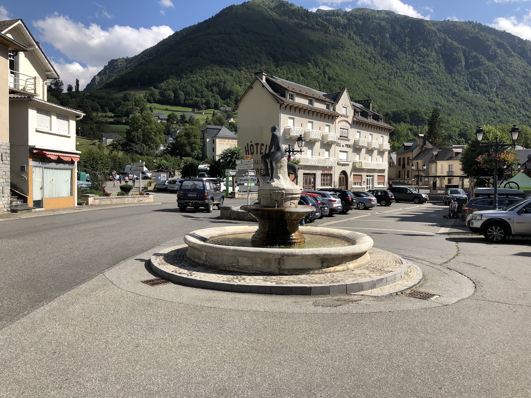
Provisions: Luz-Saint-Sauveur has everything - bakeries, supermarkets and bike shops. Gèdre and Gavarnie both have cafés and restaurants, and Gavarnie is the last stop for food and water: there are no facilities on the upper D923 and nothing at the col.
Gear: Standard road gearing handles the valley, but the steady 8% above Gavarnie rewards a compact crankset. There's almost no shade on the upper road, so carry plenty of water in summer, and pack a wind layer - the descent back down the gorge can be cold even on a warm day.
Before heading out on any cycling adventure check out our Things to Bring on a Cycling Trip and use our interactive check list to ensure you don't forget anything.
Gavarnie is the heart of this ride and worth time off the bike. The village sits at the foot of the Cirque de Gavarnie, whose 423 m (1,388 ft) Grande Cascade is the tallest waterfall in mainland France, and a well-trodden path leads from the village to the base of the cirque. From Col de Tentes itself, hikers set out past the Refuge des Sarradets to the Brèche de Roland, a 40 m (131 ft) wide notch in the border ridge at 2807 m (9,209 ft) - a big but classic Pyrenean day hike if you have a rest day.
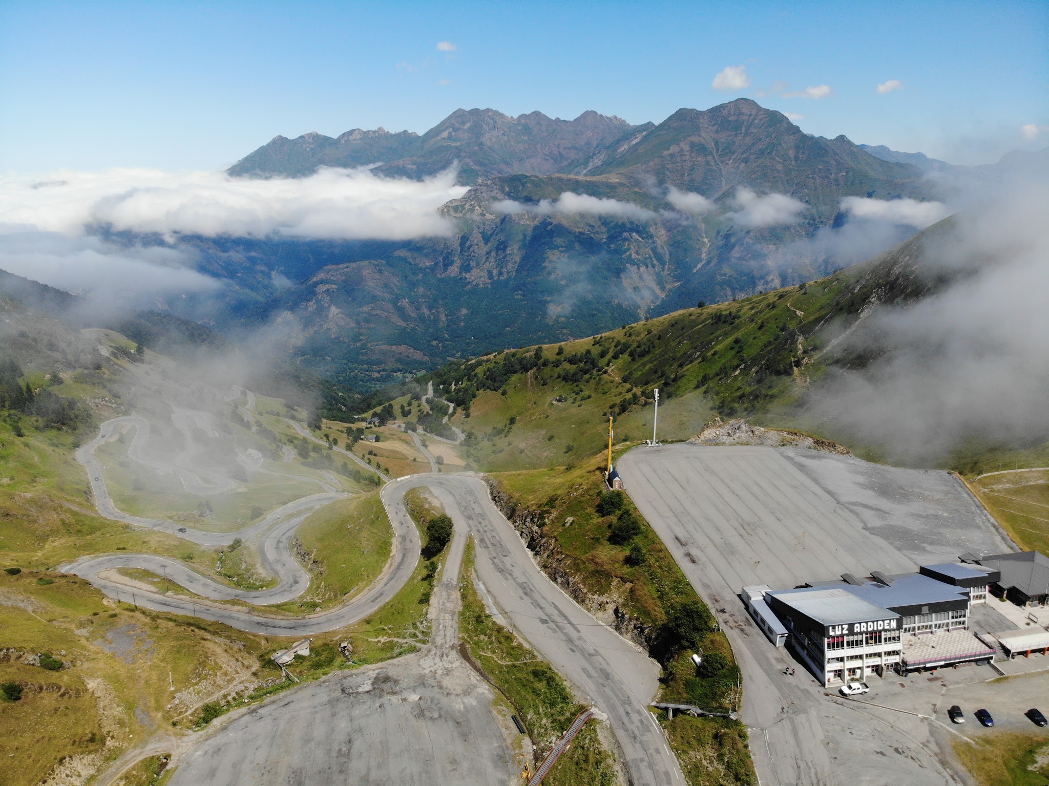
The upper road is generally open from about early June to late October, depending on snow. If you're basing in Luz-Saint-Sauveur, the same valley also serves Col du Tourmalet, Luz Ardiden and Cirque de Troumouse, which branches off this same road just past Gèdre.
For those looking to stay in the area we would recommend the Pyrenees Cycling Lodge. Located in the beautiful medieval village of Saint Savin and hosted by Mark & Niamh, the Lodge is run by cyclists for cyclists. It is a great location for any cycling adventure in the Pyrenees with several renowned climbs within 100km of the property and 6 Tour de France climbs within 15km. Visit their website or contact them directly at pyreneescyclinglodge@gmail.com .
ROUTE MAP
MEMBER RATING
CURRENT WEATHER
PJAMM TRIPS ADVENTURE STARTER BUNDLES
Check out PJAMM Adventure's prepackaged (self-guided) cycling trips. They will help you plan, document and conquer your next adventure.
NEARBY CLIMBS (0) RADIAL PROXIMITY
FROM No Climbs Found
MEMBER REVIEWS & COMMENTS
Let us know what you thought of this climb. Signup for our FREE membership to write a review or post a comment.
Already have an account?
LOG IN HERE
carlinguernsey
This is a great lesser known climb from Luz St Sauveur. The road up to Gavarnie follows along the river valley for most of the way with some interesting side roads to explore also. The climb is not too difficult until you get past Gavarnie. Then, the final 10k are much steeper with great scenery. The road is not as well maintained after the ski station with animals often in the roadway (as with many climbs in the Pyrenees). There is a parking area at the top but no facilities after Gavarnie.