36.1
PDI
11 mi
DISTANCE
4,806 ft
GAINED
7.9 %
AVG. GRADE
FULL CLIMB STATS
Page Contributor(s): Ard Oostra, Montreux, Switzerland; Erwan Trequier, Brittany, France;
INTRO
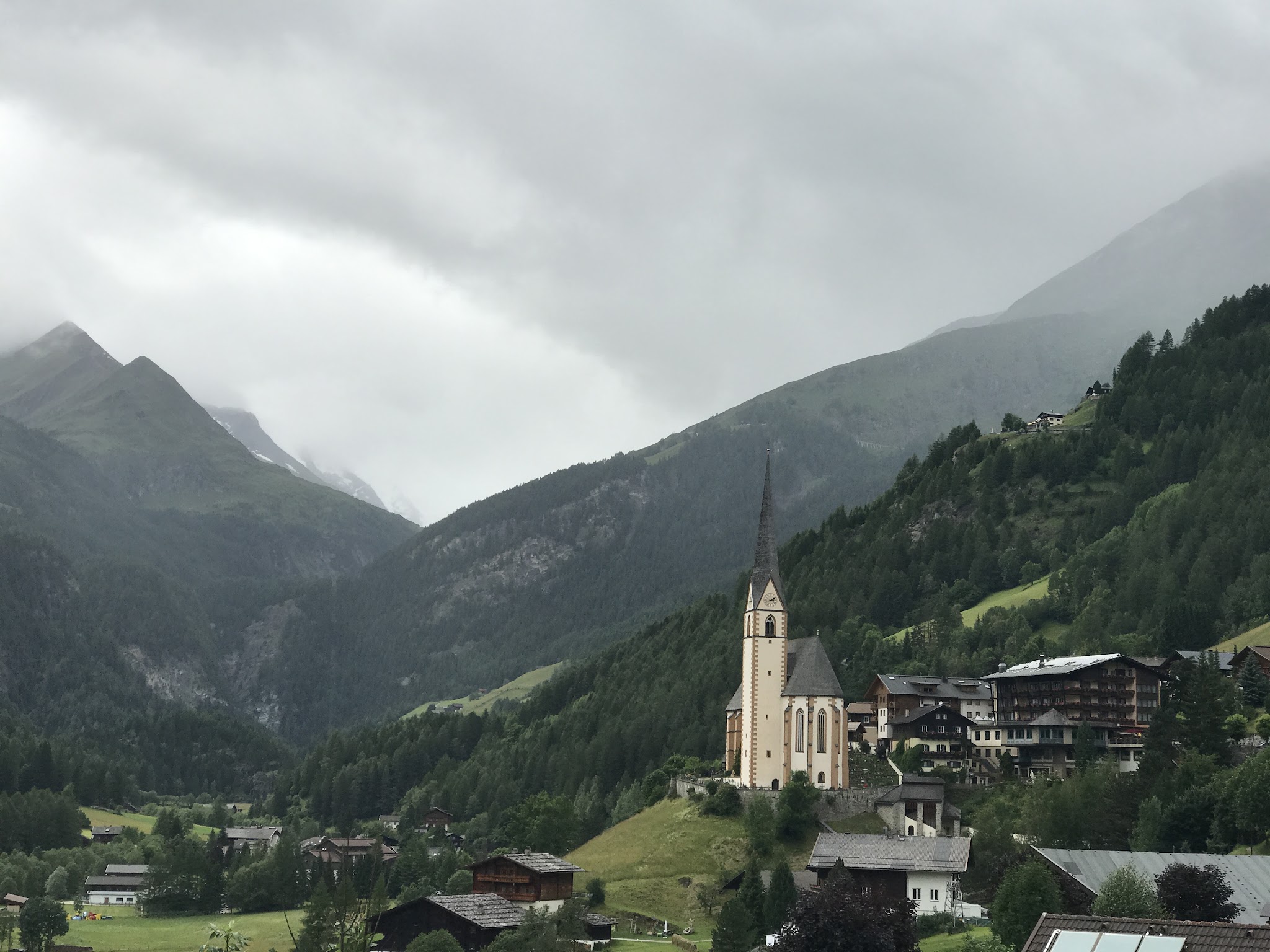
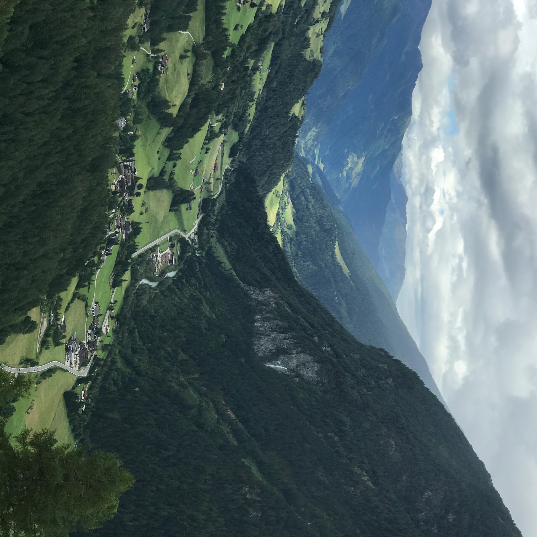
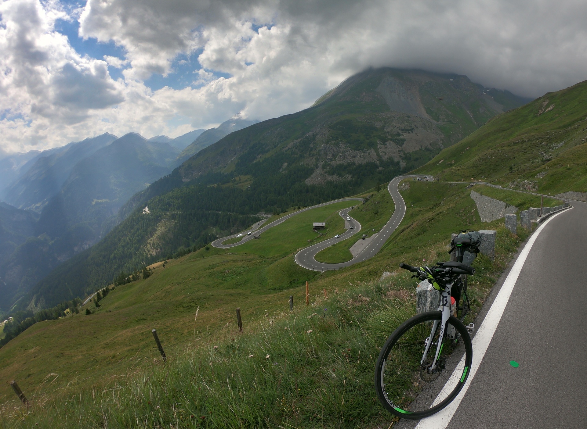
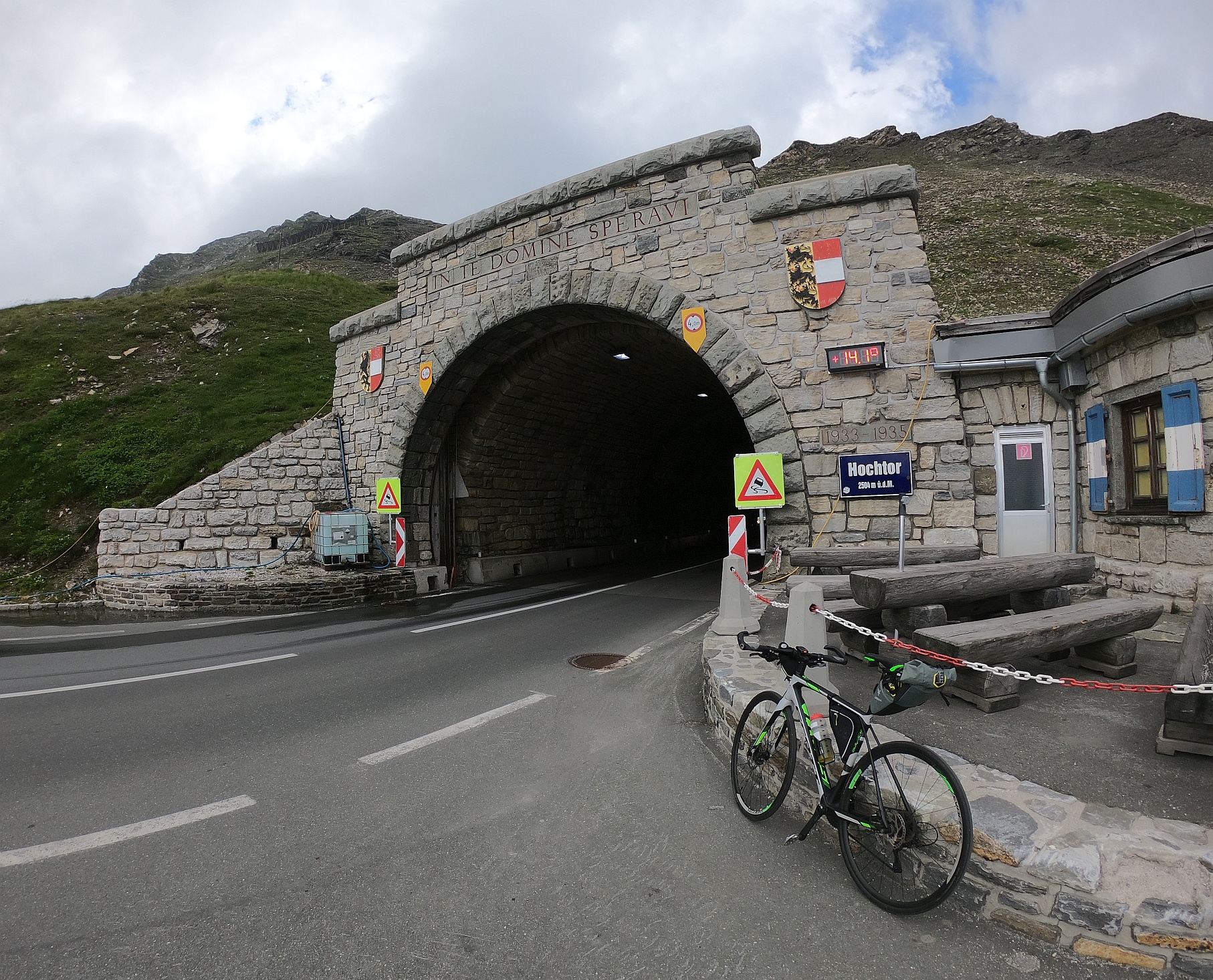
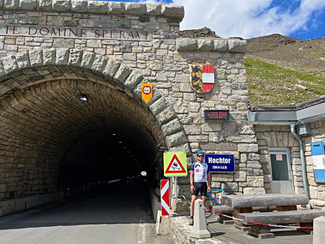
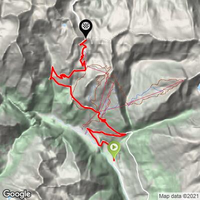
The Grossglockner is Austria's highest mountain, and the Hochalpenstrasse that crosses beneath it is one of the great engineered mountain roads in the Alps - immaculately paved, with sweeping views of the peaks and switchbacks below as you climb. This route starts near Pockhorn, just above Heiligenblut, and climbs 11.0 miles at a 7.9% average grade to the Hochtor tunnel at 8,243 feet, where the road pierces the main Alpine ridge into Salzburg.
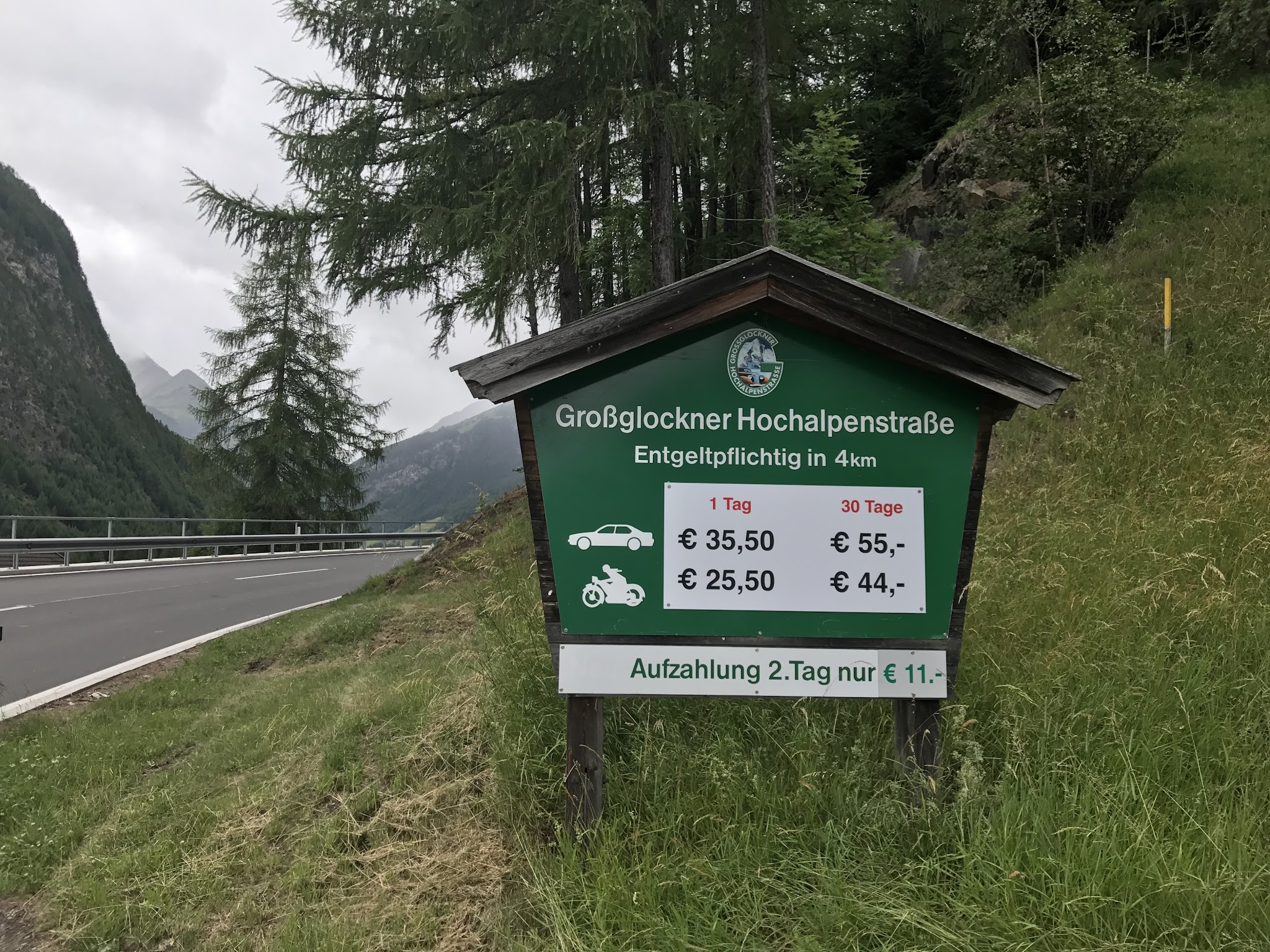
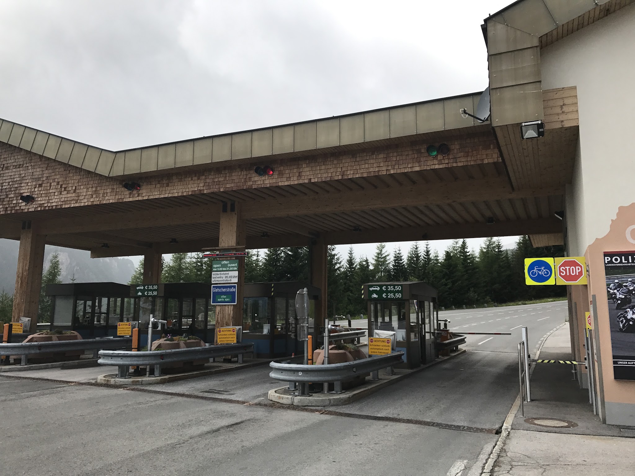
This is the gentler of the pass's two approaches - Fusch, on the north side, runs steeper at 8.9% average and ranks 73rd-hardest in the world, while this Heiligenblut side ranks 150th. Gentler is relative, though: it's still a serious climb, with a steepest half-kilometer near 12.9% and a toll booth at kilometer 7 where cyclists roll through a dedicated lane for free while cars and motorhomes pay.
The road is only open roughly late April through early November, closed by snow the rest of the year, and it hosts "Glocknerkoenig," a well-known cyclosportive each June that draws thousands of riders up both sides of the mountain. Above the tunnel on the Fusch side, a panoramic side road climbs even higher to the Edelweissspitze at 8,435 feet, the highest point on the whole route reachable by bike.
PLAN YOUR ROUTE
 We've partnered with Sherpa-Map.com to bring you the best route planning tool. With a PRO Membership you can use this climb as a reference when creating your route.
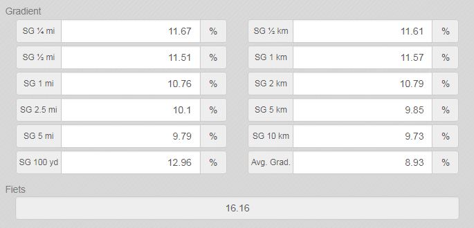
 The average grade from Pockhorn is 7.9% over 11.0 miles - noticeably gentler than the Fusch side's 8.9%, but still a full day's climb with real pitches in it.
The steepest half-kilometer averages 12.9%, and the steepest full kilometer sits at 11.9%, both found in the switchbacks above the toll booth. The grade eases somewhat in the final few miles before the tunnel, but there's no long flat stretch anywhere on the route - just a steady, well-engineered climb the whole way up.
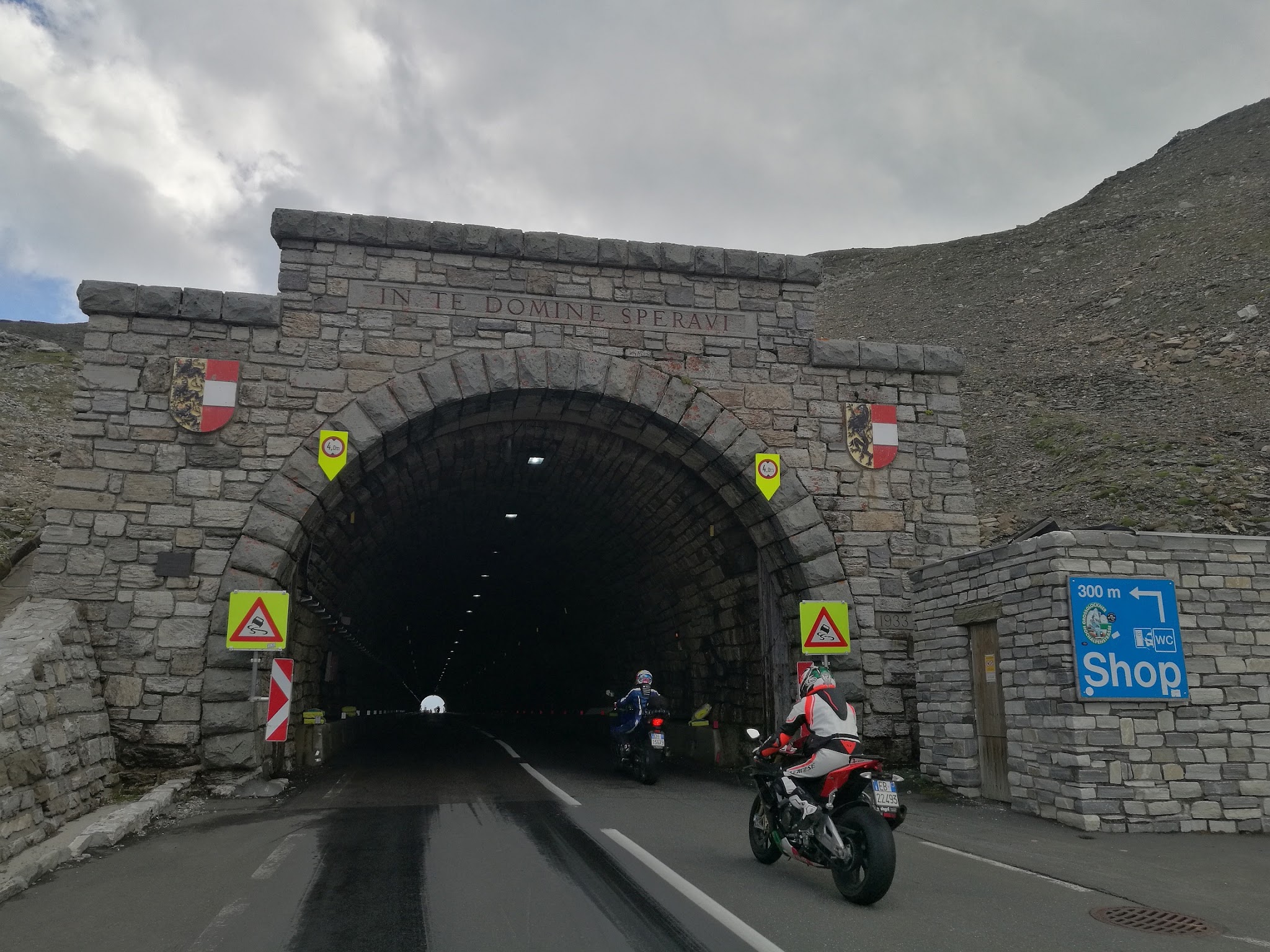
Roadway: The road surface is exceptional - this is a showcase alpine highway, wide, smoothly paved, and clearly well maintained the entire way. A roughly 300-meter tunnel at the very top (the Hochtor, where the road crosses the main Alpine ridge into Salzburg) requires lights; there's no other tunnel on this side of the climb.
Traffic: This is a major tourist road and gets busy with cars, motorhomes, and tour buses in peak summer, especially midday - an early start helps. Cyclists ride free through a dedicated lane at the toll booth (kilometer 7), separate from the vehicle line.
Parking: Heiligenblut am Grossglockner, the last town before the climb, has several public parking areas and is the natural starting point. The road itself is only open roughly late April through early November - it's gated and closed by snow the rest of the year.
Standard alpine gearing works fine here - the grade is steady and rarely spikes above 13%, so this isn't a climb that demands unusually low gearing, just sustained effort over 11 miles.
Heiligenblut has shops, bakeries, and cafes for stocking up before you start. There's nothing along the climb itself once you leave town, and it gets noticeably colder at the top near 8,000 feet even on a warm day in the valley, so pack a layer for the descent.
Before heading out on any cycling adventure check out our Things to Bring on a Cycling Trip and use our interactive check list to ensure you don't forget anything.
The road is only open roughly late April through early November and is closed by snow outside that window, so plan a summer or early-fall trip. Bring a light for the tunnel at the top - it's short, but genuinely dark inside.
If you're making a full day of it, our Weather tool can show you conditions at the summit before you leave Heiligenblut - it's common for the top of the pass to be considerably colder and windier than the valley floor, even in July.
ROUTE MAP
MEMBER RATING
CURRENT WEATHER
PJAMM TRIPS ADVENTURE STARTER BUNDLES
Check out PJAMM Adventure's prepackaged (self-guided) cycling trips. They will help you plan, document and conquer your next adventure.
NEARBY CLIMBS (0) RADIAL PROXIMITY
FROM No Climbs Found
MEMBER REVIEWS & COMMENTS
Let us know what you thought of this climb. Signup for our FREE membership to write a review or post a comment.
Already have an account?
LOG IN HERE