Grossglockner (Fusch) Bike Climb - PJAMM Cycling

43.4
PDI
11.5 mi
DISTANCE
5,404 ft
GAINED
8.9 %
AVG. GRADE

FULL CLIMB STATS

Page Contributor(s): Bill Coppobianco (Laguna Beach, CA, USA); Ties Arts, Netherlands; Erwan Trequier, Brittany, France; Ard Oostra, Montreux, Switzerland.

INTRO

The Grossglockner High Alpine Road (Grossglockner Hochalpenstrasse) is Austria's most famous mountain pass, and the climb from Fusch is the classic way onto it: 11.5 miles and 5,404 feet of gain at an 8.9% average grade, finishing near the Edelweissspitze turnoff at 2,571 meters, the highest point on the paved road network in Austria. This is a Top 100 World Climb (World Rank #73) and is widely considered the poster child for Austrian roadway perfection - a wide, smoothly engineered two-lane highway carved through the Hohe Tauern National Park with more than 30 hairpin turns.

What sets this climb apart is the scenery: the road tops out with views of the Grossglockner itself, Austria's highest peak at 3,798 meters, along with the Pasterze glacier and a string of 3,000-meter summits along the Hohe Tauern range. It was built between 1930 and 1935 specifically as a scenic touring road rather than a transit route, which is why the gradient stays so consistently rideable for a climb of this size.

The road is seasonal, typically open from late April or early May through late October or early November depending on snowfall - it opened for the 2026 season on April 25. It's tolled for motor vehicles, but cyclists ride through the toll gates for free.

PLAN YOUR ROUTE

We've partnered with Sherpa-Map.com to bring you the best route planning tool. With a PRO Membership you can use this climb as a reference when creating your route.
8.9% average grade.  8% of the climb is at 0-5% grade, 51% is at 5-10%, and 41% is at 10-15%.  The steepest 500 meters and kilometer is at 11.6% which is a testament to the smooth gradient of the road.  

See more details and tools regarding this climb's grade via the “Profile Tool” button.
Roadway:  Two-lane highway in excellent, smoothly engineered condition with no shoulder for most of its length; the road reopened for the 2026 season on April 25 and is well maintained throughout the summer.  It's a toll road for cars (about €38 in 2026), but cyclists ride through for free via a dedicated gate to the right of the car lanes - no ticket or payment needed.

Traffic:  Moderate to heavy, and worth planning around - this is one of Austria's most-visited roads, with roughly a million visitors a year and no dedicated cycle path.  The road's own operators recommend riding before 8:00am or after 3:00pm, since around 80% of traffic clusters in the late-morning/midday window, especially in July and August.  Early starts are noticeably quieter and safer.

Parking:  Fusch an der Grossglocknerstrasse is a small alpine village right at the base of the climb.  We stayed at and parked near Hotel-Restaurant Lampenhäusl, about 2.6 miles north of the climb start (Map); there are also a handful of pull-offs and side-road spots to park right at the start of the climb itself (Map).
Provisions:  The Edelweisshütte mountain inn sits right near the finish at 2,571 meters, open daily with hot food, drinks, and a sun terrace - a welcome stop after the climb (Google Map + Reviews). 
Before heading out on any cycling adventure check out our Things to Bring on a Cycling Trip and use our interactive check list to ensure you don't forget anything.
We stayed in Fusch at Hotel - Restaurant Lampenhäusl, which had a nice breakfast and dinner, was a comfortable place to stay, was close to the climb start, and was reasonably priced.  Consider also climbing the other side of this roadway - Grobglockner Pockhorn to tunnel and Franz Josefs Höhe (Heiligenblut), both on the far side of the pass, through the tunnel at the top.  We drove around to the other side to do these climbs rather than ride through the tunnel.

Consider timing your trip around the Glocknerkönig, a one-day cyclosportive held annually on the first Sunday of June, starting on the north (Fusch/Bruck) side of the pass. 

Use the "Routes in Area" button on the menu bar to see other bike climbs in this area.

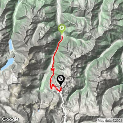
ROUTE MAP
MEMBER RATING

Difficulty: Strenuous
4/5
Road
2/5
Traffic
4/5
Scenery

CURRENT WEATHER

PJAMM TRIPS ADVENTURE STARTER BUNDLES

Check out PJAMM Adventure's prepackaged (self-guided) cycling trips. They will help you plan, document and conquer your next adventure.
ALL TRIPS
Browse all of our prepackaged trips and find your next adventure!

NEARBY CLIMBS (0) RADIAL PROXIMITY

FROM
No Climbs Found

MEMBER REVIEWS & COMMENTS

Let us know what you thought of this climb. Signup for our FREE membership to write a review or post a comment.
Already have an account?

Jun 16, 2023
A nice, steady long climb with magnificent views of the nearby peaks. There was a lot of traffic when I went, including motos. Very busy at the top.
Sep 4, 2022
The Edelweissspitze is a fun destination, however the real Grossglockner top, the Kaiser-Franz-Josef's Hoche is further down the road (~24 more miles) and gives you a 10.000' out and back climb from Fusch.
Aug 11, 2021
difficulty: Strenuous
scenery: 4
traffic: 2
road: 4
Aug 11, 2021
scenery: 4
traffic: 2
road: 4
beautiful but a lots of dengerous motorbikers,
Apr 28, 2021
I tried to climb Grossglockner from Zell am See on a fully-laden MTB with knobbly tires in the summer of 1990...my first cycle touring adventure (I knew nothing!). My legs were cramping so badly by ~2000m that I knew I could not make it to the top...but had great fun on the descent, especially the cobbled corners. One day I will have to go back and finish the job!
ROUTE MAP
PROFILE TOOL
Route Data
S.G. (%)
hide
Segment Data
hide
CLIMB SUMMARY

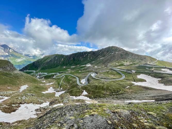
panoramic view of Austrian alps

Cycling Grossglockner (Grobglockner) from Fusch

Ride 18.5 kilometers gaining 1,647 meters at 8.9% average grade.

This is a simply spectacular bike climb on one of the greatest roadways in the world.  Grossglockner from Fusch is ranked #52 in the world and #5 in Austria.

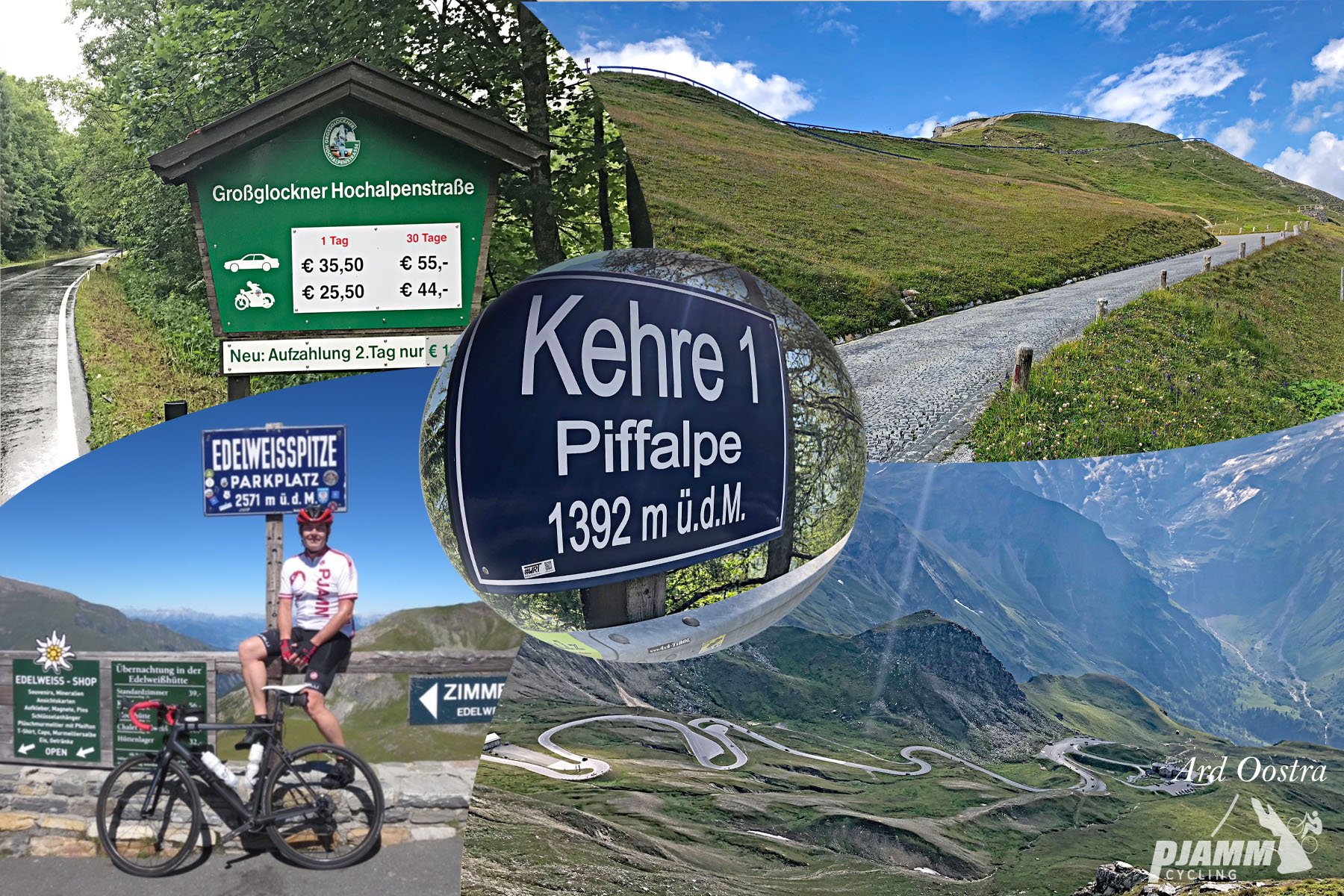
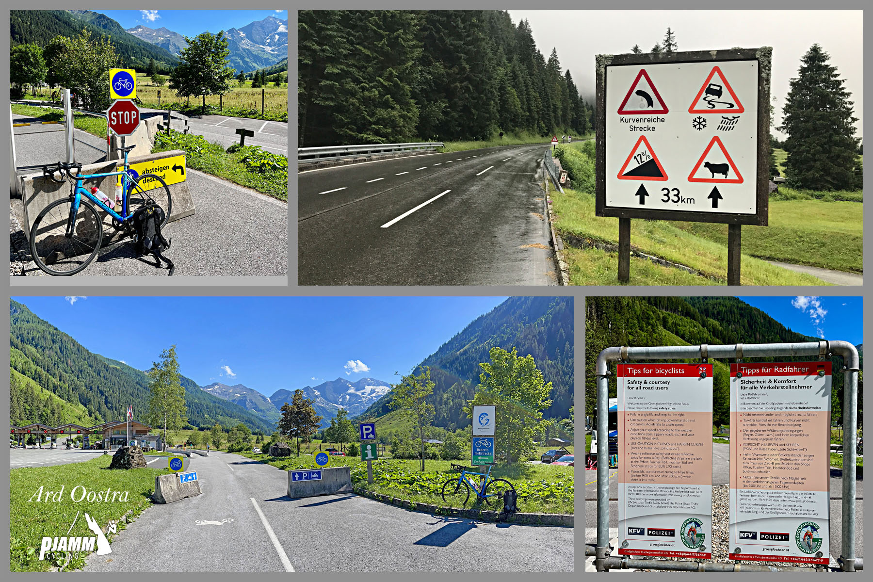
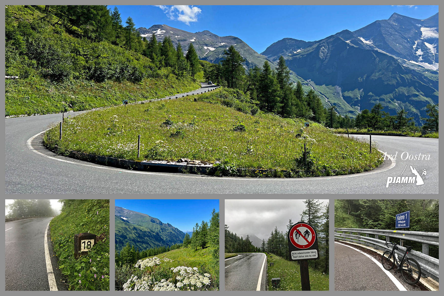
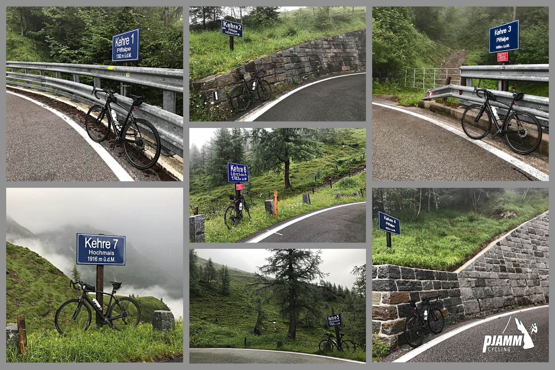
photo collage; roadway switchbacking up mountainside, signs for Kehre 1 Piffalpe; Grobglockner Hochalpenstrabe

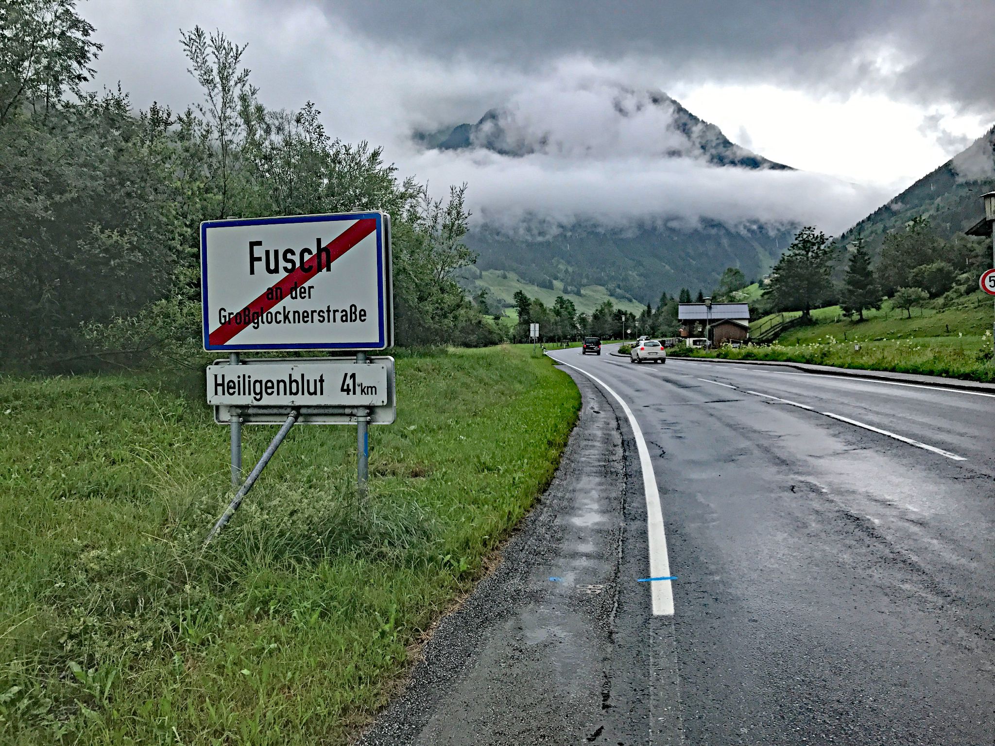
road sign for leaving Fusch

Climb begins just south of Fusch.

Grobglockner is the highest mountain in Austria, and the road over it is an engineering marvel.  The road surface is impeccable and affords many nice views of the surrounding mountains along the way.[1]  The climb is very challenging, averaging nearly 9% over 11.5 miles. Grobglockner from the Fusch (north) side is ranked #28 on our Top 100 World Climbs List (from Pockhorn it is ranked #92; see the Grobglockner from Pockhorn climb page for more information).

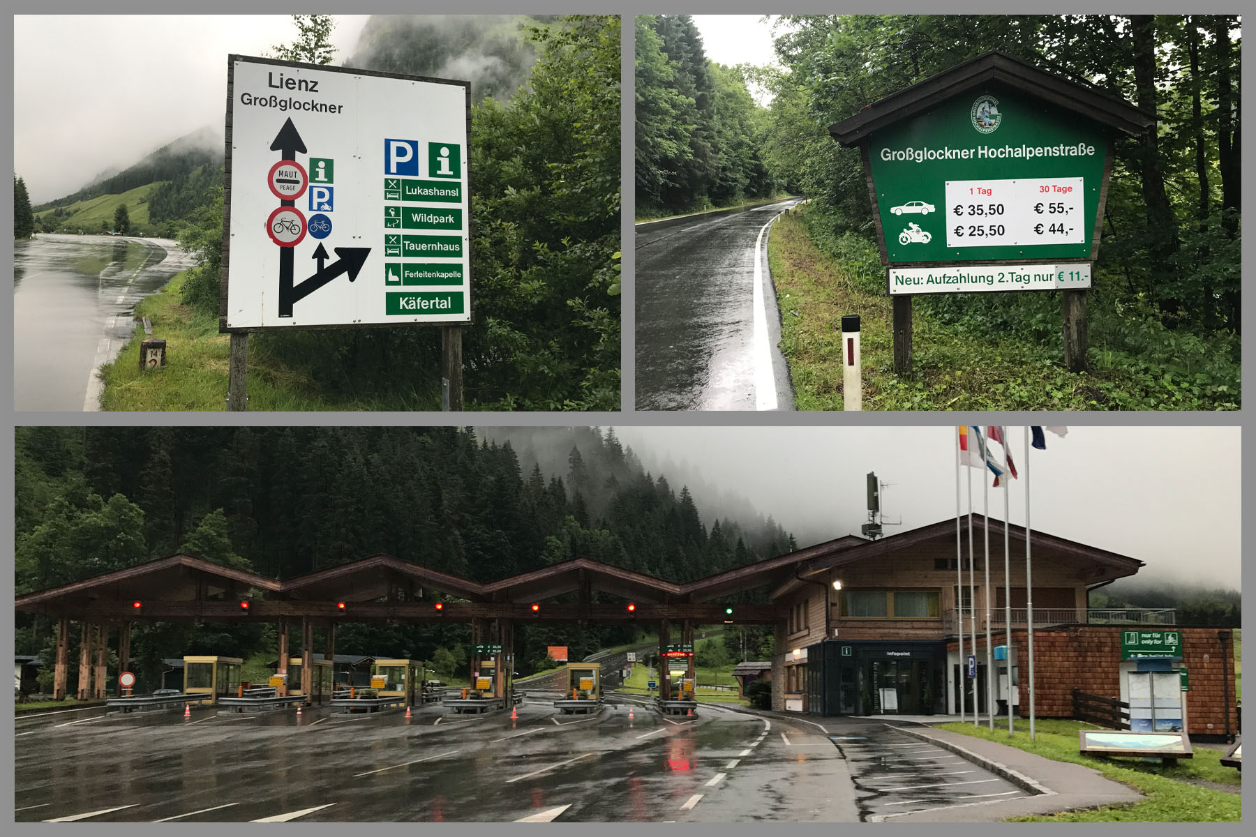
toll booths

No charge for cycles 2017 but as of 2022 we cannot confirm that there is no charge.

Official site

toll gate at kilomter 4.3 just before road pitches up

Toll gate is at kilometer 4.3 just before the road pitches up -

The final 14 kilometers average 9.7%.

The grade is nearly constant throughout the climb, with the average for the steepest quarter-mile being 11.67%, steepest mile 10.76%, and steepest stretch over a 2.5 mile run is 10.1%.  Other than a respite through the hairpins (kehres), there is no relief from the double digit grade.

gorgeous views along the middle portion of the climb; Austrian alps

Middle portion of the climb. 

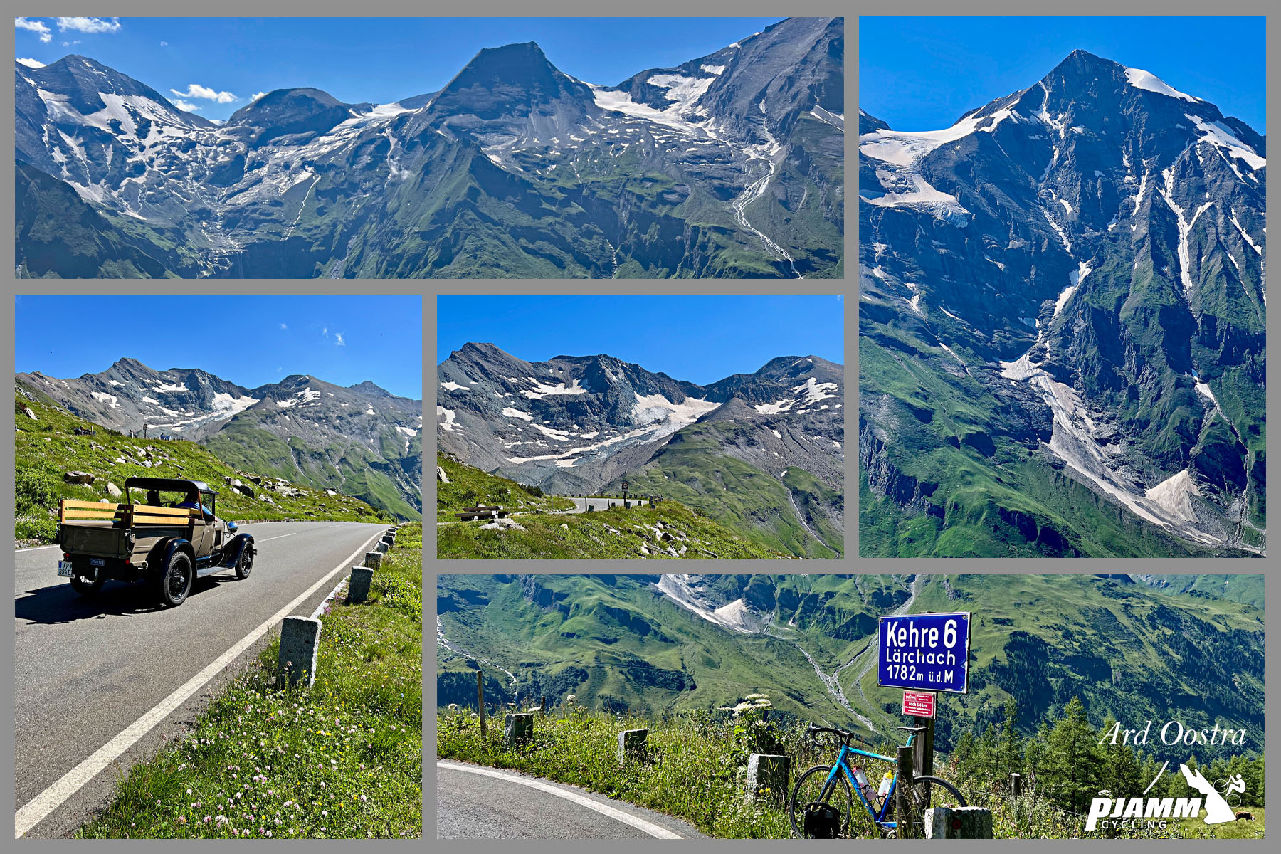
photo collage of the Glockner Group fo the Hohe Tauern range of the Austrian Alps

Grossglockner is part of the Glockner Group of the Hohe Tauern range of the Alps.

Austrain Alps

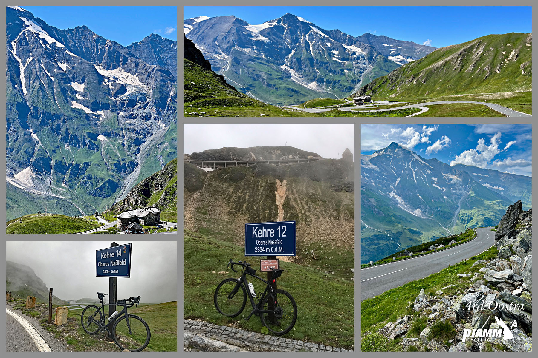
Final section before the turn off and final two kilometers to Eidelwilbspitze.

This was an exceptional climb with magnificent views of the valley as we climb, and then the mountains above us that we ascend to. This is one of the most perfectly engineered roads in the world and the switchbacks become part of the wonderful scenery.  

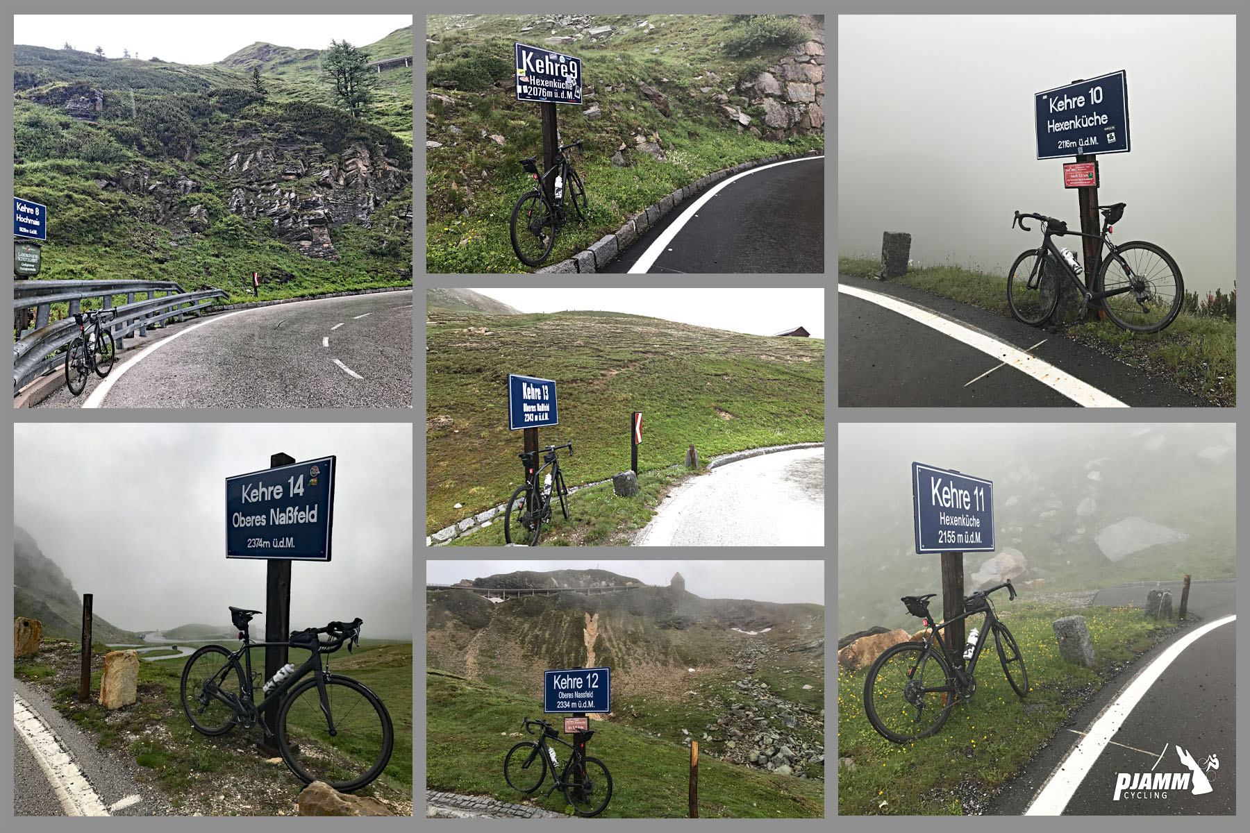
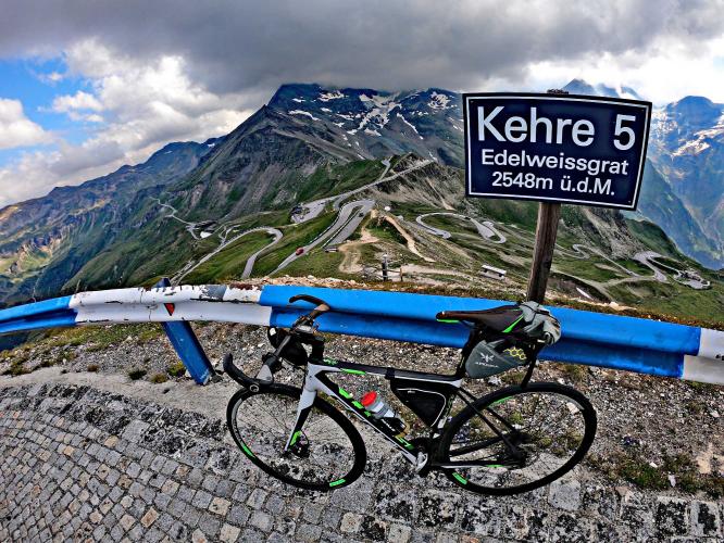
Kehre signs along the route. Kehre means hairpin

14 kehres (hairpins) on main route (first 17 km).

Kehre signs along the route. Kehre means hairpin

Kehre 1 is at the start and 14 is at the finish of Grossblockner, just before the turn to Edelweissspitze.

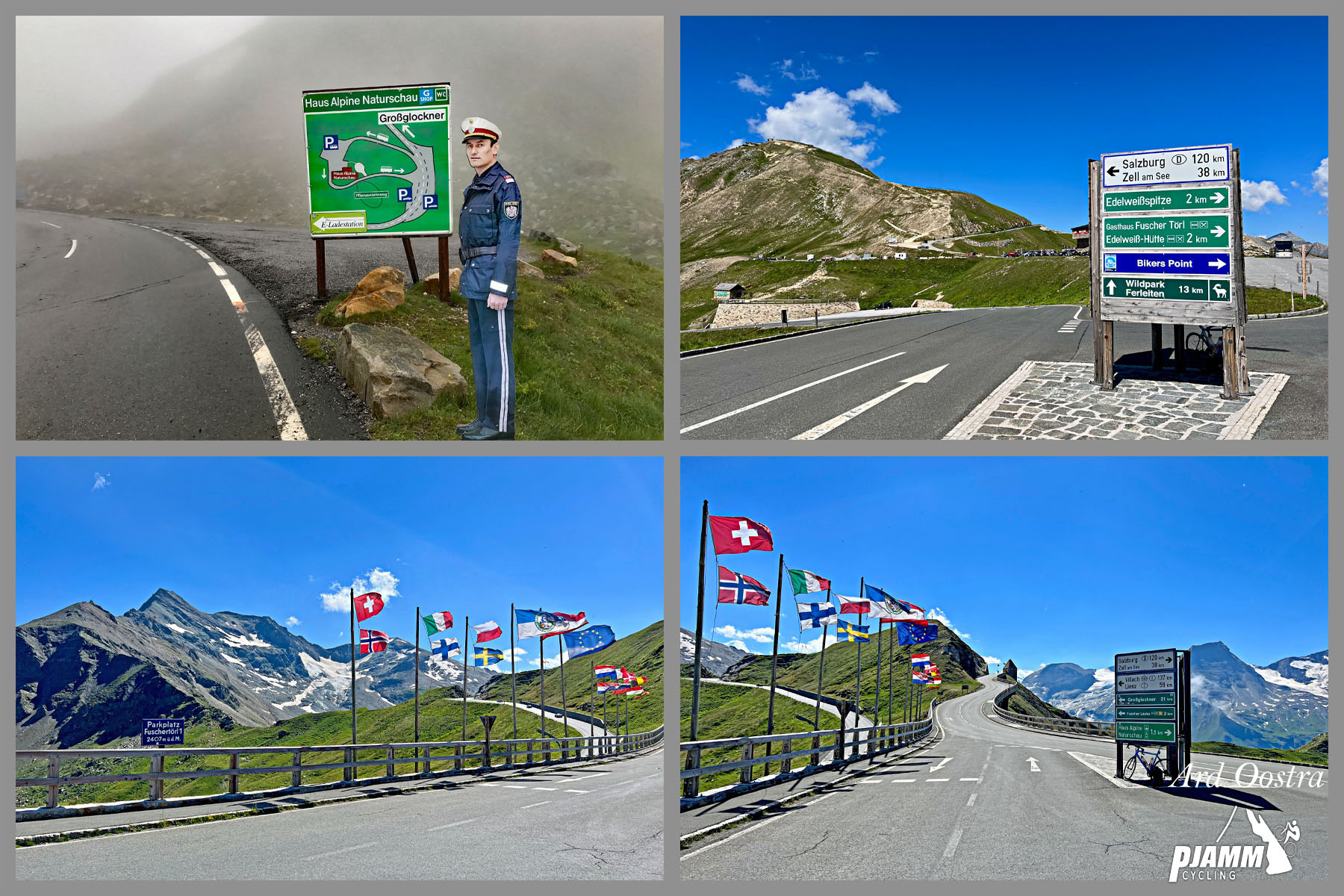
European flags line the roadway at the climb finish

Turn left at kilometer 17 for the last spectacular segment of this exceptional bike climb.

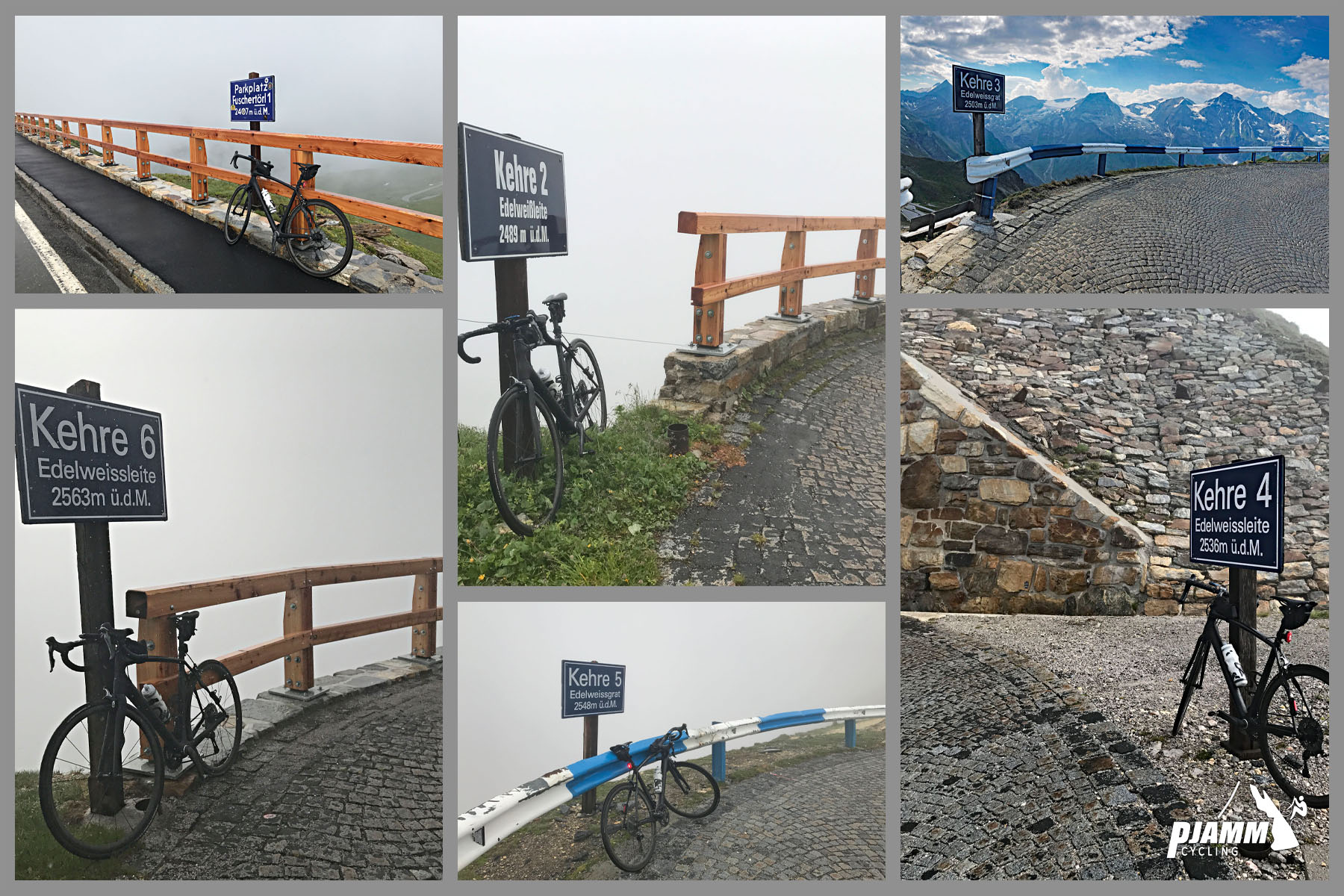
Kehre signs along the route. Kehre means hairpin

Six more on the 1.6 km to Edelssspitze.

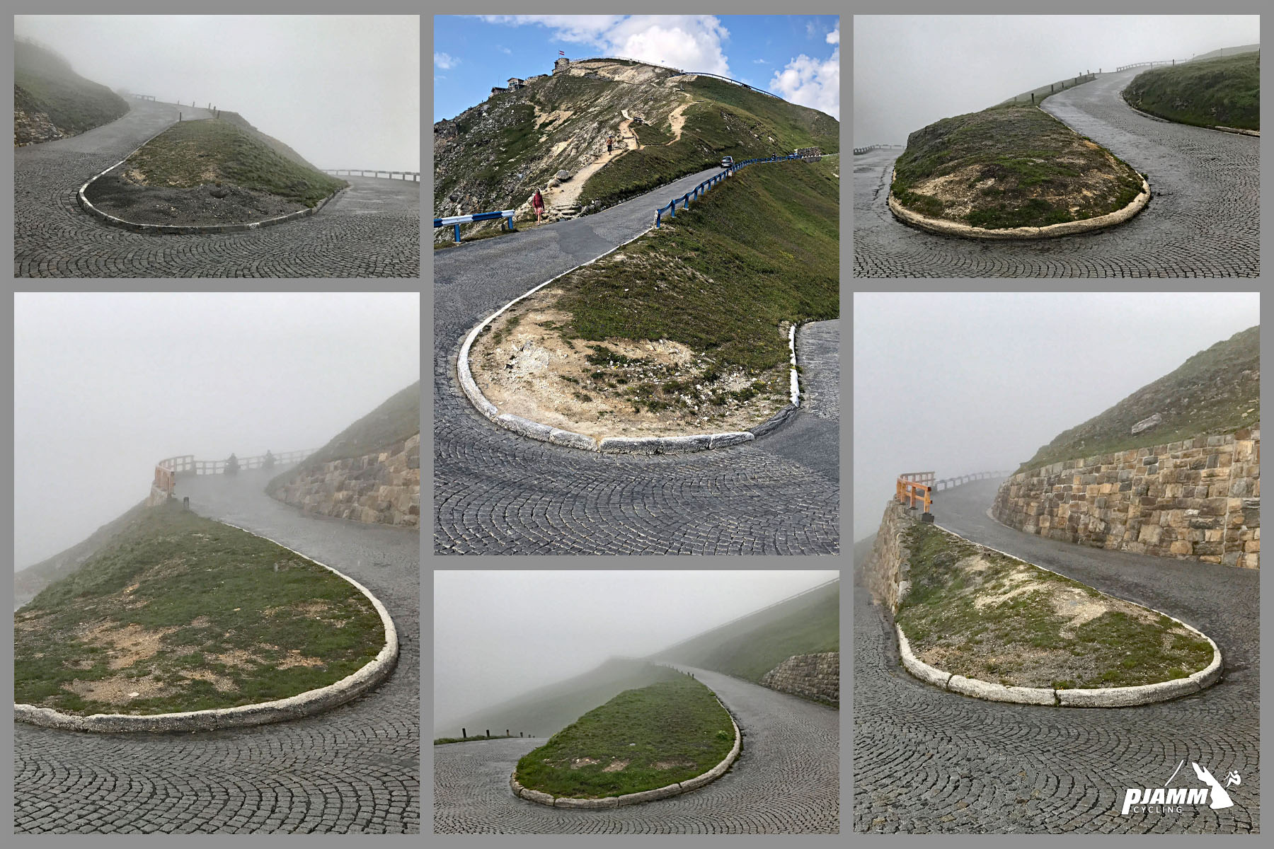
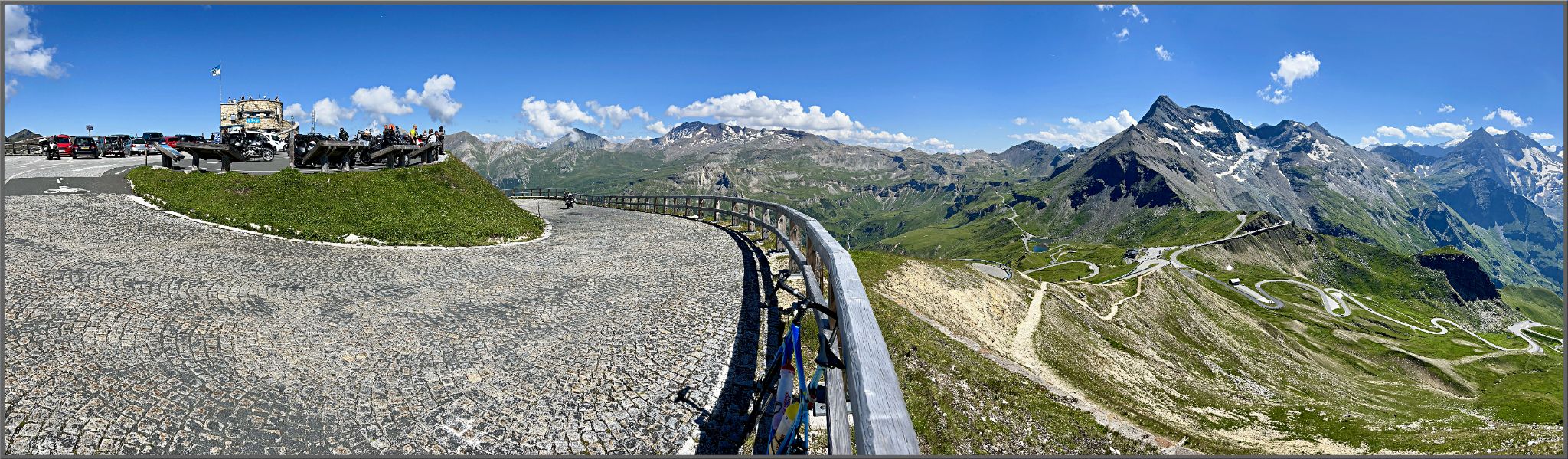
cobblestone segment at the end, along with multiple hairpin turns

The last segment is all cobbles.

PJAMM Cyclist Ties Arts writes, “The final segment of the climb (extension) to the  Edelweissspitze is unique, turning to cobblestones and increasing the grade even more. I must admit this was one of the best five climbs in my life so far.  Any climber interested in a unique, scenic, and special challenge/adventure, should put Grobglockner on their Bucket List.”

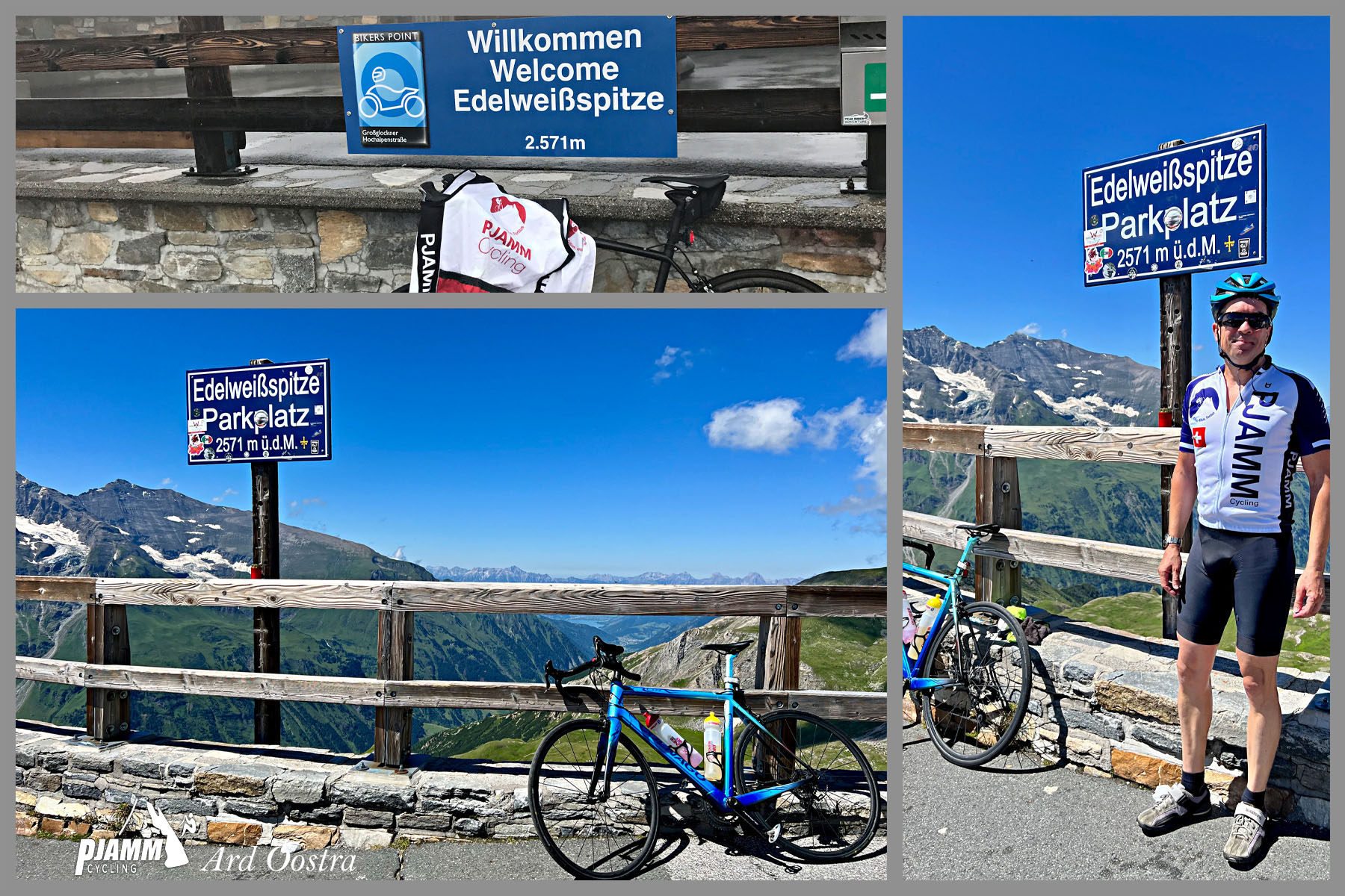
PJAMM Cyclist stands at climb finish

Finish.

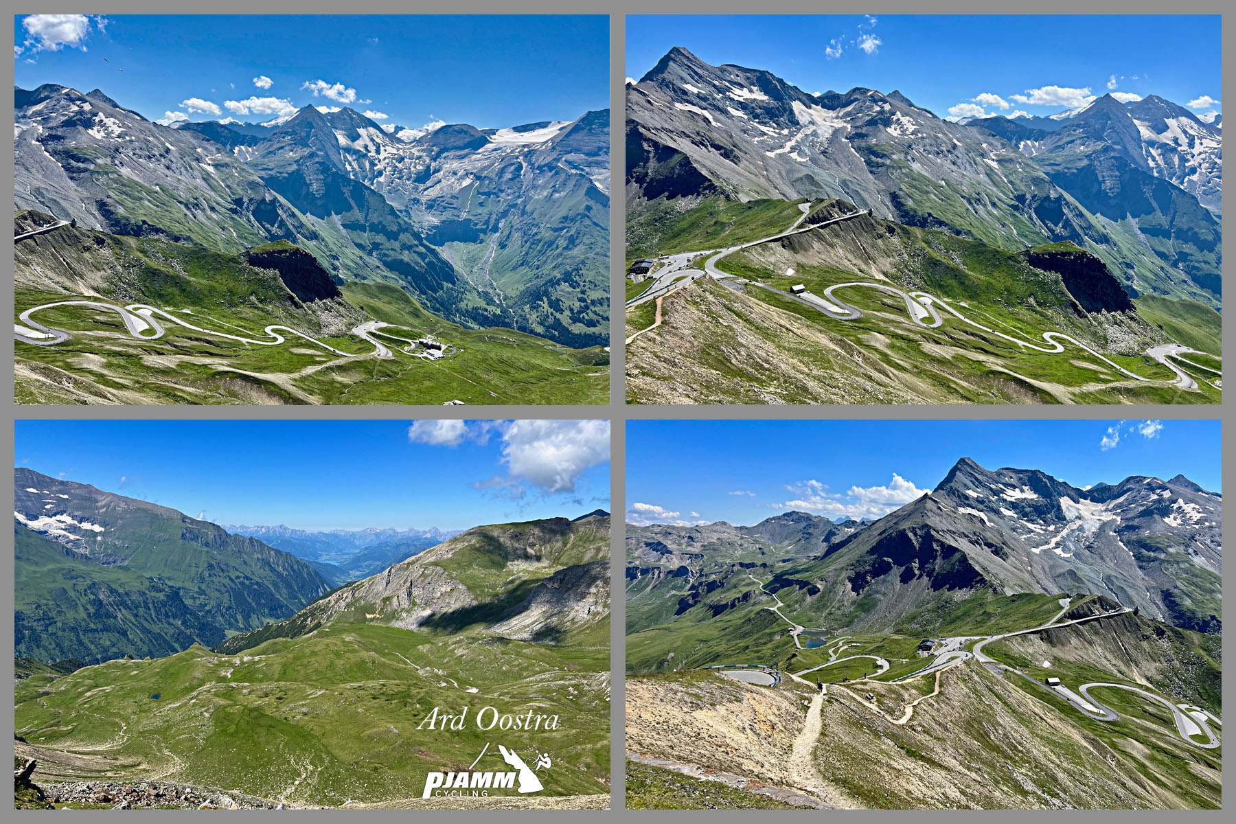
alp views from the climb finish

Views from the top.

Our cycling friend and #1 contributor to Top 100 World Climbs, Ties Arts (Netherlands) provides this summary of his ride up the Grobglockner:

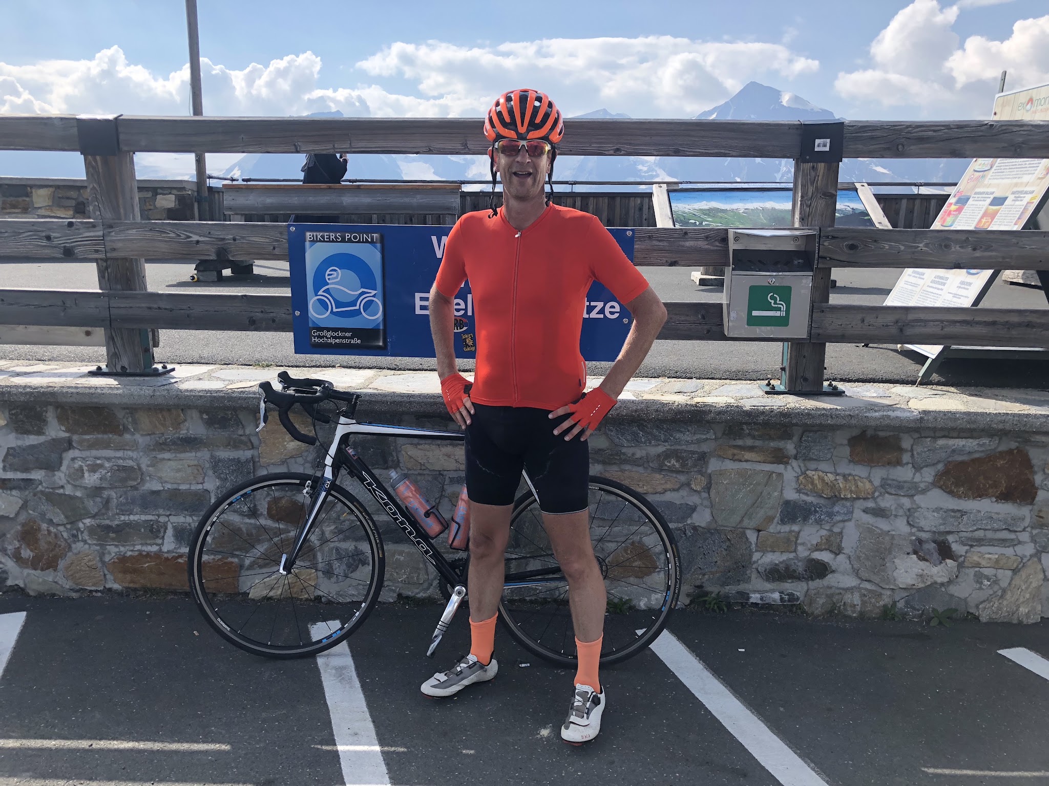
PJAMM Cyclist at climb finish

Ties at Edelweissspitze (the climb’s top).

In the summer of 2018 around 1:30 pm, I began my ride up this incredible road from the Fusch side (the late start due to having done the mighty Grosser Oscheniksee in the morning).  


The weather was very hot that day (almost 40 degrees celsius/104 fahrenheit in Fusch!).  However, I was determined to climb one of Europe’s most famous roads.  And what a joy it was…and what a pain it was as well. I was on a rental, a Kona ‘Jake the Snake’ cyclocrosser with a 34X34 cassette, which is unfortunately a heavy, 10kg+ bike.

The moment you enter the official part of the road (going through the gateway) it really starts. From “Kehre 1”  (switchback #1) the grade never falls below 9%, and I mainly saw double digits on my Garmin as I made my way up the mountain in the stifling heat.  Climbing a Hors Category climb in 35 degrees Celsius is always tough -- your body just gets exhausted faster. Hydrating regularly is critical.

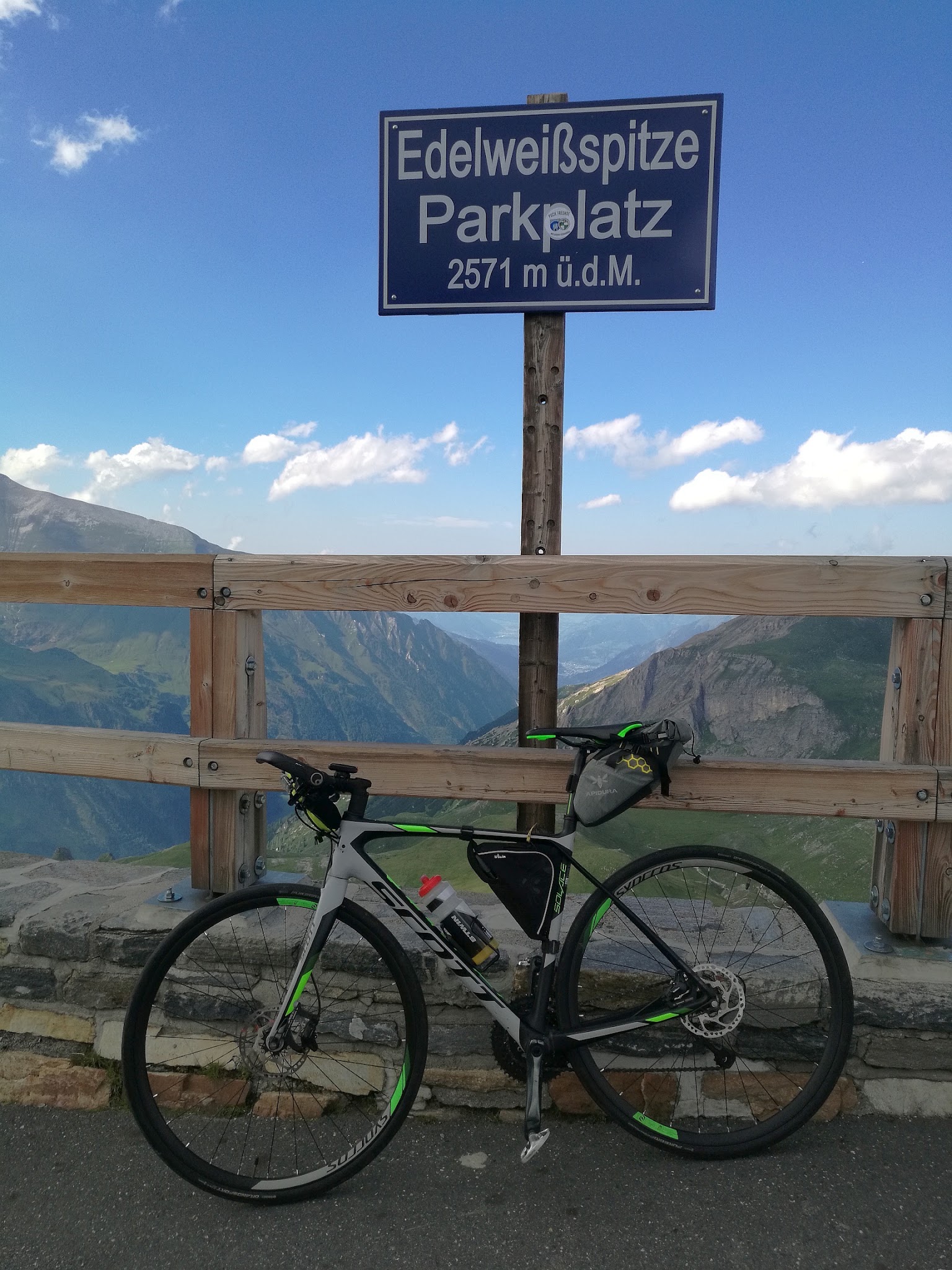
 bike parked in front of summit sign

Summit sign

Photo contributed from Erwan Treguier.

Every year there is a bike event here called Glocknerkönig, which is a bike-only, car-free, day up the Grossglockner-Hochalpenstrasse (High Alpine Road) below the Grossglockner mountain. At 3798 metres, it’s the highest peak in Austria.

gorgeous roadway on this Austrian alp climb

Of the road, Wikipedia notes:

“Mass tourism was decisively promoted by the scenic High Alpine Road (Großglockner-Hochalpenstraße) running from Heiligenblut to Bruck in Salzburg with a branch-off to the Franz-Josefs-Höhe viewpoint. It was built across the historic Hochtor Pass of the Alpine divide between 1930 and 1935 according to plans designed by engineer Franz Wallack. The pass road, Austria's highest, reaches 2,576 m (8,451 ft), and is one of the most popular tourist attractions in the country (second after Schönbrunn Palace) with about 270,000 vehicles and 900,000 visitors every year, about 50 million since its opening” (Wikipedia - Grobglockner).


[1] We know the views are exceptional because the day before the climb when we descended this side of the pass in an automobile it was clear, though our ride the following day was during continual rain.