6.8
PDI
6.2 mi
DISTANCE
1,289 ft
GAINED
3.9 %
AVG. GRADE
FULL CLIMB STATS
INTRO
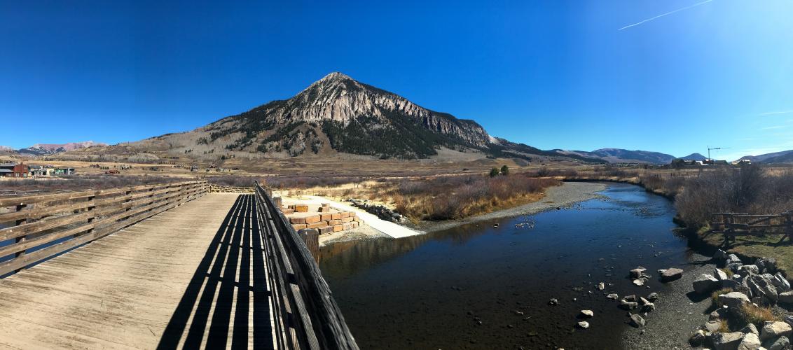
A mild but beautiful climb proves that Crested Butte, world-renowned for its mountain biking, also has excellent road riding. The first 2/3 of this climb are on a bike path.
PLAN YOUR ROUTE
 We've partnered with Sherpa-Map.com to bring you the best route planning tool. With a PRO Membership you can use this climb as a reference when creating your route.
 See more details and tools regarding this climb's grade via our interactive Profile Tool.
Roadway:
The first 2/3 of the climb is an excellently maintained biking/walking path. It's a concrete "sidewalk" surface, but free of all debris. The last 2 miles are on an asphalt road going up the ski slopes.
Parking:
Plenty of parking in downtown Crested Butte. If you're doing this climb, you're most likely staying up in the ski village or down in the town, both places give easy access to this climb.
The climb begins and ends in populated ski towns
Before heading out on any cycling adventure check out our Things to Bring on a Cycling Trip and use our interactive check list to ensure you don't forget anything.
We strongly recommend some of the other more famous climbs in the area, including Cottonwood Pass, Slumgulion Pass, and Independence Pass East, all within a relatively short drive away.
Crested Butte is isolated, but one of the most peaceful mountain towns in Colorado. Besides skiing, the town is best known for its world-class mountain biking, including the 401 Trail Loop, the most famous mtb trail in Colorado. You can find excellent hotels here as well as VRBOs.
ROUTE MAP

MEMBER RATING
CURRENT WEATHER
PJAMM TRIPS ADVENTURE STARTER BUNDLES
Check out PJAMM Adventure's prepackaged (self-guided) cycling trips. They will help you plan, document and conquer your next adventure.
NEARBY CLIMBS (0) RADIAL PROXIMITY
FROM No Climbs Found
MEMBER REVIEWS & COMMENTS
Let us know what you thought of this climb. Signup for our FREE membership to write a review or post a comment.
Already have an account?
LOG IN HERE

