50
PDI
18.1 mi
DISTANCE
6,779 ft
GAINED
6.9 %
AVG. GRADE
FULL CLIMB STATS
INTRO
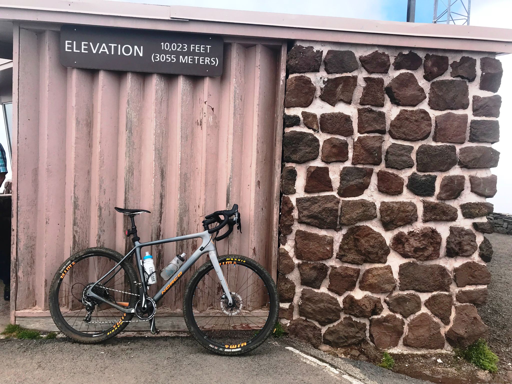
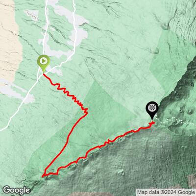
One of the hardest gravel climbs in the US - ranked #2 in difficulty on the PJAMM Difficulty Index. This is the backside of Haleakala Volcano, the same mountain whose paved south side is the #3 most difficult paved climb in the country. The gravel route runs 18.1 miles and gains 6,779 feet at a 6.9% average grade, starting on pavement before turning to dirt and rock for most of the ride.
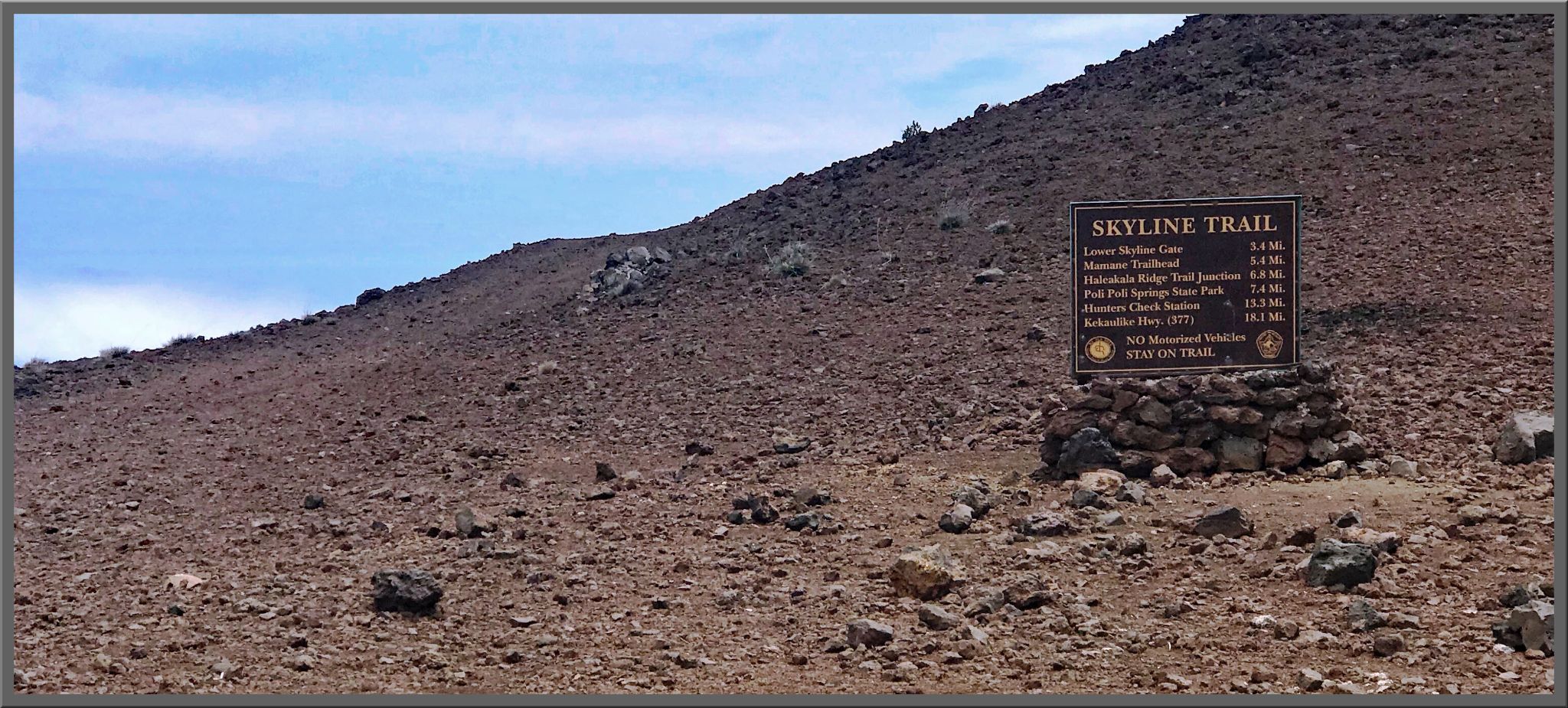
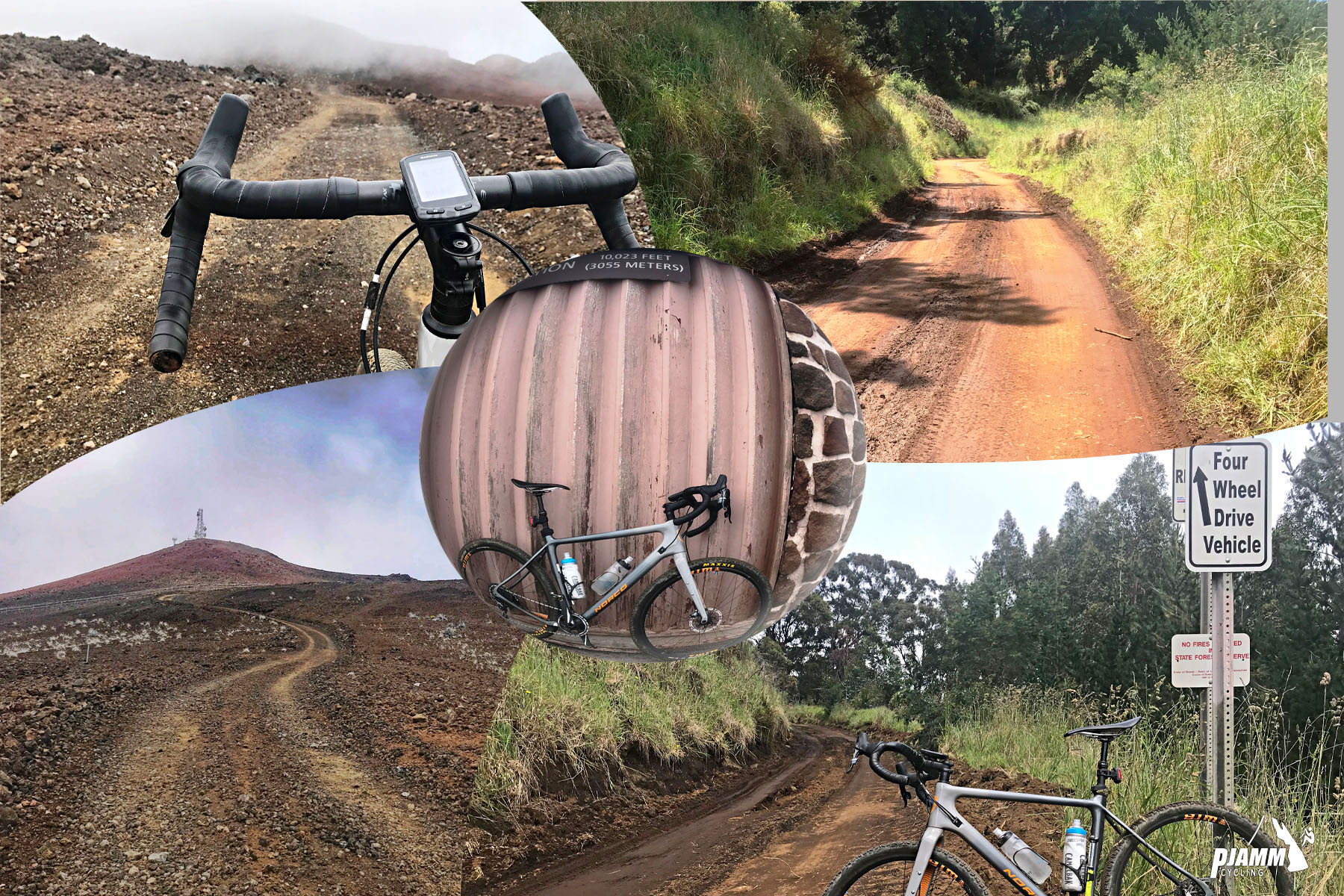
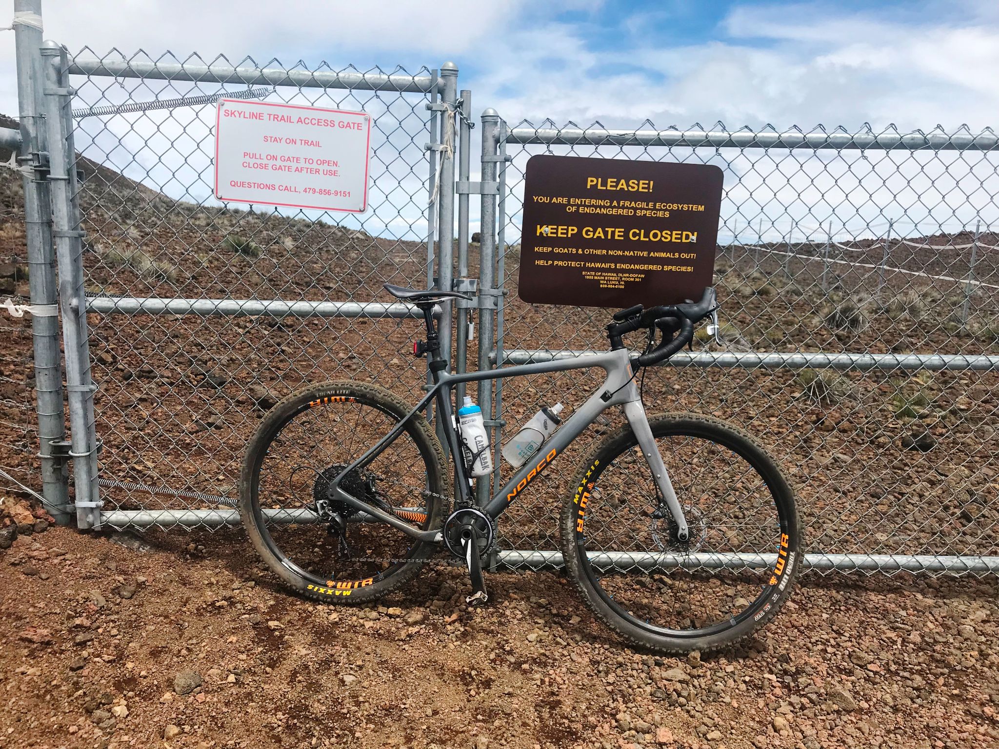
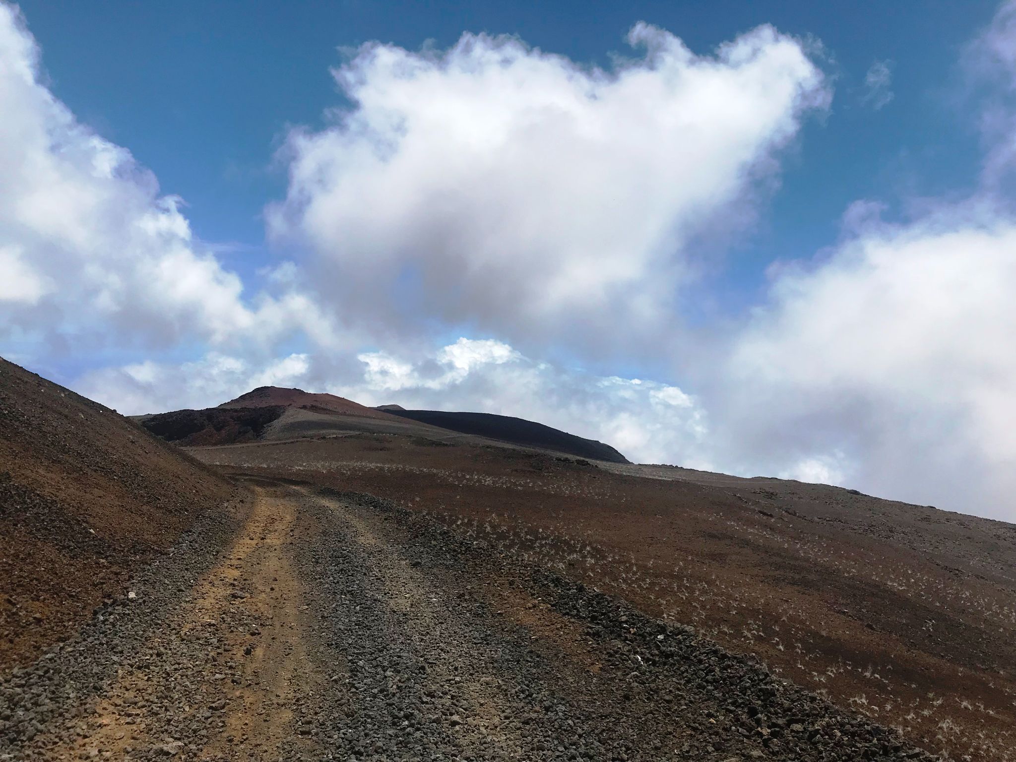
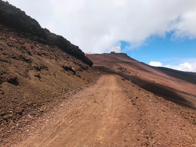
The first 5 miles climb Waipoli Road, paved and steep at 10.2%. From there the surface turns to gravel for a stretch before the route turns onto the Skyline Trail around mile 11, a rugged 4x4/jeep doubletrack that climbs the final 7 miles to the summit building. The upper Skyline Trail is the crux: loose, chunky lava rock in places that's simply unrideable, forcing even strong riders to walk sections. Pavement returns for the last approach to the top.
Riders who've done both compare it directly to Mauna Kea's Impossible Route - a similar profile of rideable lower gravel giving way to a brutal, semi-maintained upper section. A gravel bike with wide tires (45mm+) or a mountain bike handles it far better than a standard setup. It's a serious undertaking, but the payoff is a summit finish above the clouds with views few climbs anywhere can match.
PLAN YOUR ROUTE
 We've partnered with Sherpa-Map.com to bring you the best route planning tool. With a PRO Membership you can use this climb as a reference when creating your route.
 See more details and tools regarding this climb's grade via our interactive Profile Tool.
Roadway: The first 5 miles on Waipoli Road are paved. From there it's gravel/dirt to about mile 11, then the Skyline Trail - a rugged 4x4/jeep doubletrack, chunky and loose in the upper section, occasionally unrideable. Pavement returns for the final approach to the summit building.
Traffic: Waipoli Road's gravel section sees regular vehicle traffic since it's a maintained access road. The Skyline Trail itself gets almost no traffic - an occasional hiker or downhill mountain biker, rarely another cyclist.
Parking: No formal lot; most riders start from around Kula, off Waipoli Road.
A gravel bike with wide tires (45mm or wider) or a mountain bike is strongly recommended - the upper Skyline Trail is rough enough that narrower tires will struggle. Carry more water and food than a normal ride of this distance would need; the Kula Country Store, near the base, is the last reliable place to stock up.
Expect big temperature swings between the coastal start and the 10,000-foot summit - pack real layers even if it's warm at the bottom.
Before heading out on any cycling adventure check out our Things to Bring on a Cycling Trip and use our interactive check list to ensure you don't forget anything.
Base yourself in Kula or elsewhere on Maui's upcountry slopes. This gravel route is far harder than the standard paved Haleakala summit climb - don't confuse the two when planning your trip. Morning starts are best, both for cooler temperatures at the bottom and clearer skies at the summit before afternoon clouds roll in.
ROUTE MAP
MEMBER RATING
CURRENT WEATHER
PJAMM TRIPS ADVENTURE STARTER BUNDLES
Check out PJAMM Adventure's prepackaged (self-guided) cycling trips. They will help you plan, document and conquer your next adventure.
NEARBY CLIMBS (0) RADIAL PROXIMITY
FROM No Climbs Found
MEMBER REVIEWS & COMMENTS
Let us know what you thought of this climb. Signup for our FREE membership to write a review or post a comment.
Already have an account?
LOG IN HERE
JustKeepClimbinb
I did this a couple years ago but I started in Paia. I did it on a gravel bike with 33/42 gearing and 48mm tires. I stopped at Kula Country Store to get water. Waipoli is a tough climb (though it is paved). After that it turns to dirt but is flat and easy to ride.
Once it starts climbing again it is a challenge. The lower part is not too bad and easily biked. But there are several sections later that are really loose and I had to walk for a bit until I could pedal again. Near the top you are back on pavement for the last section to the summit. A MTB might be a better choice but it was still fun and doable on a gravel bike.