69.9
PDI
21 mi
DISTANCE
8,680 ft
GAINED
7.8 %
AVG. GRADE
FULL CLIMB STATS
Page Contributor(s): Simon Euringer, Erding, Bavaria, Germany; Ryan Graham, Huntington Beach, CA; Damion Miller, Richland, WA; Tomasz Kociumaka, Saarbrucken, Germany
INTRO
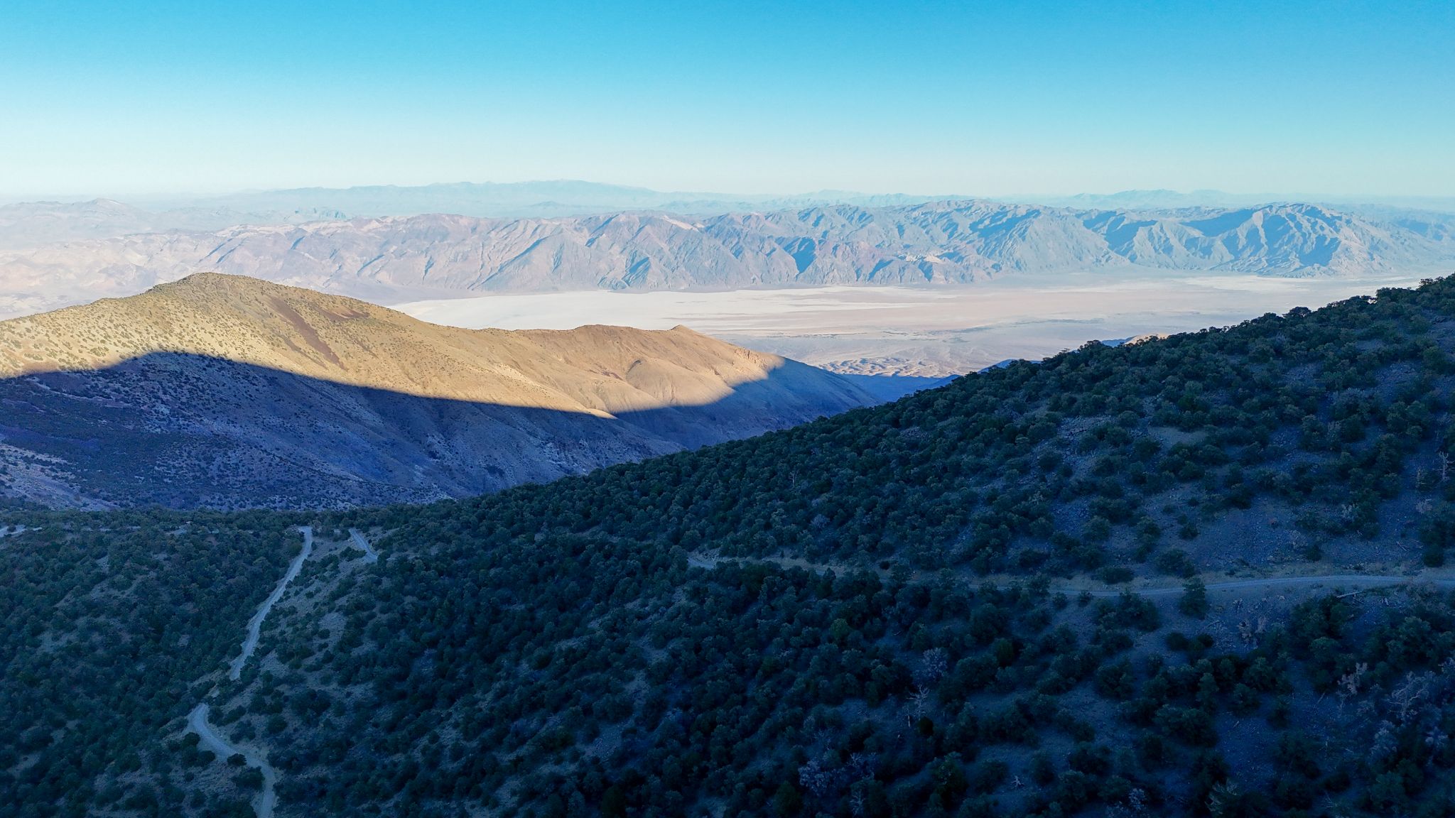
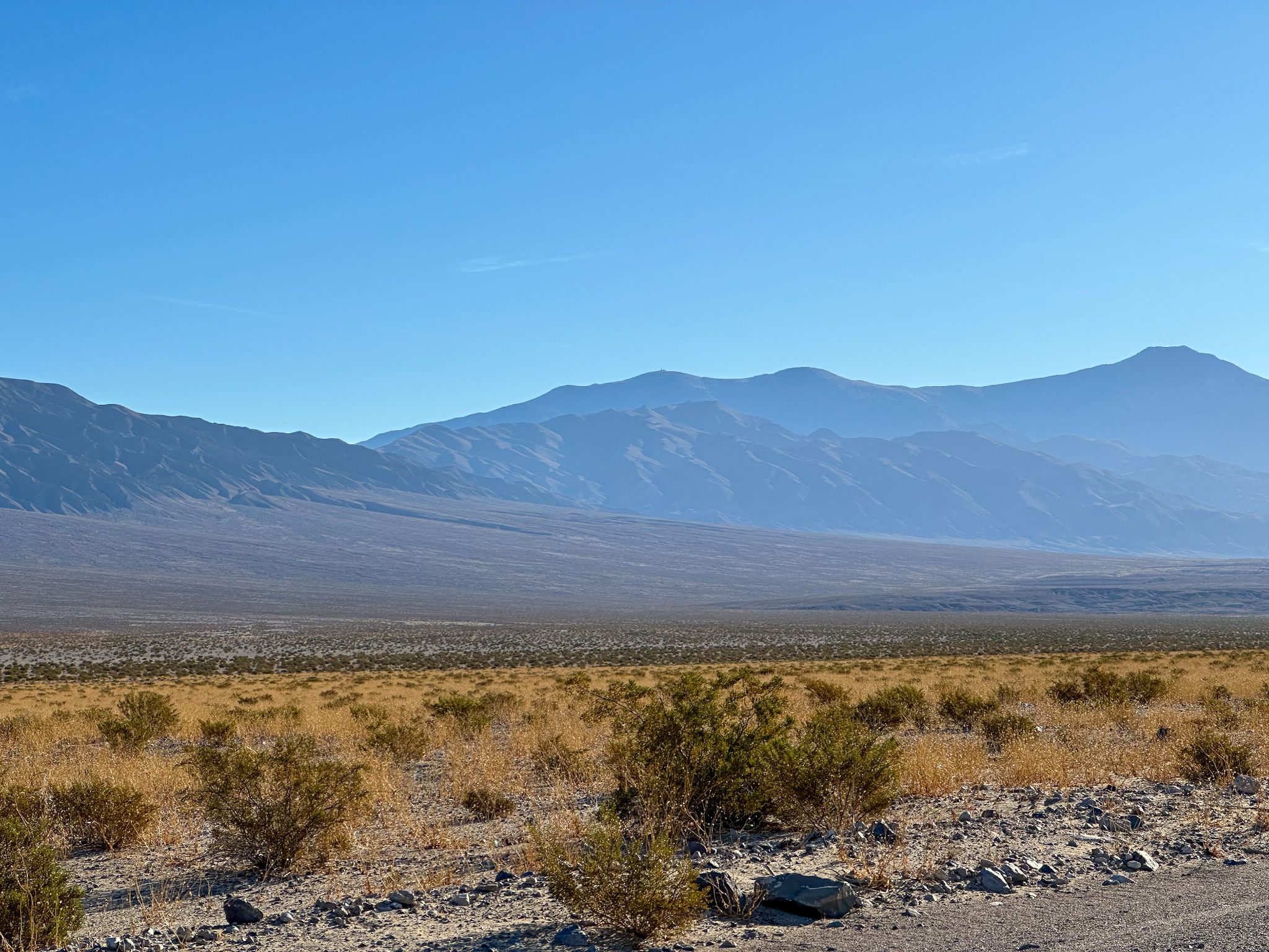
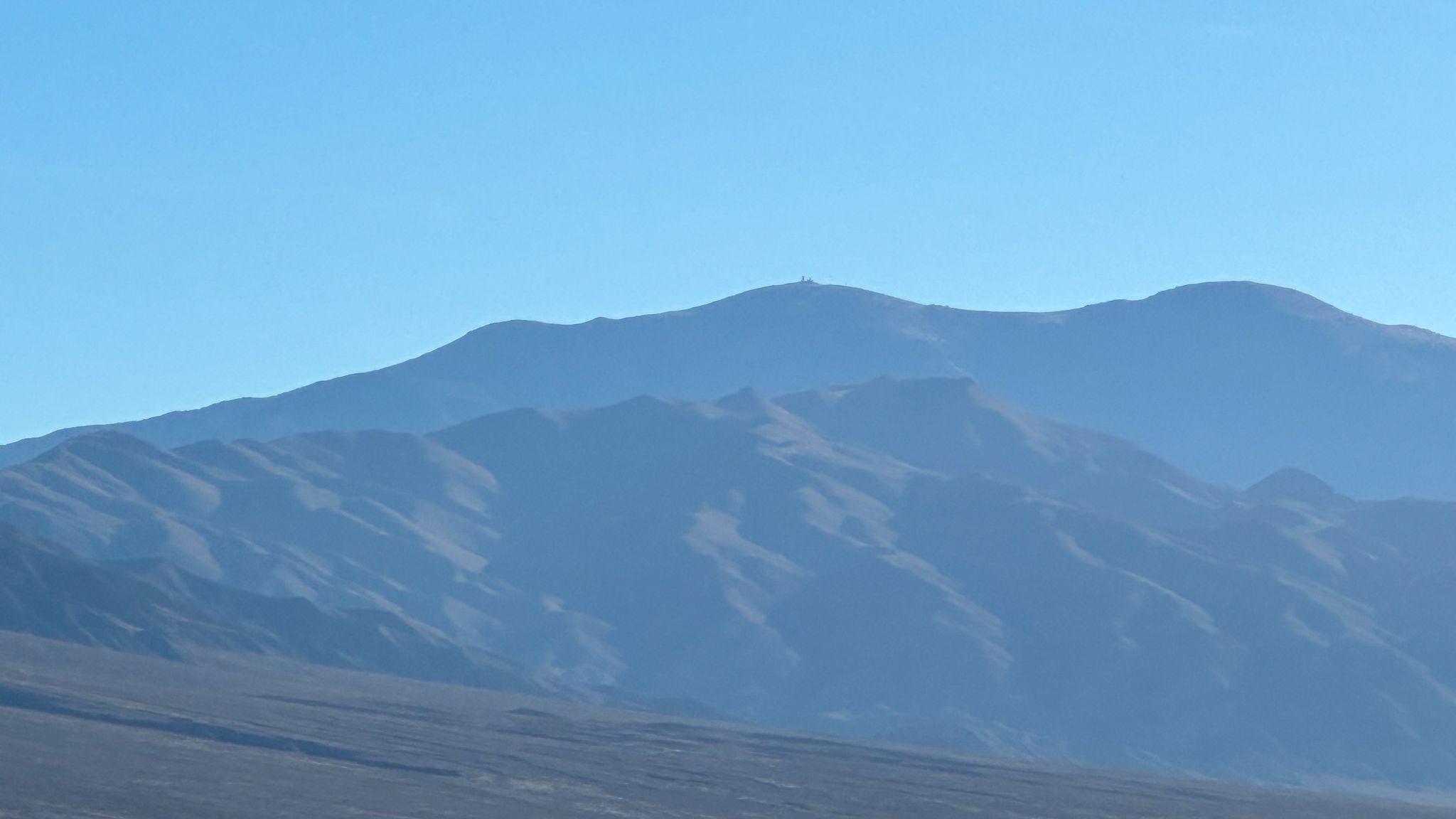
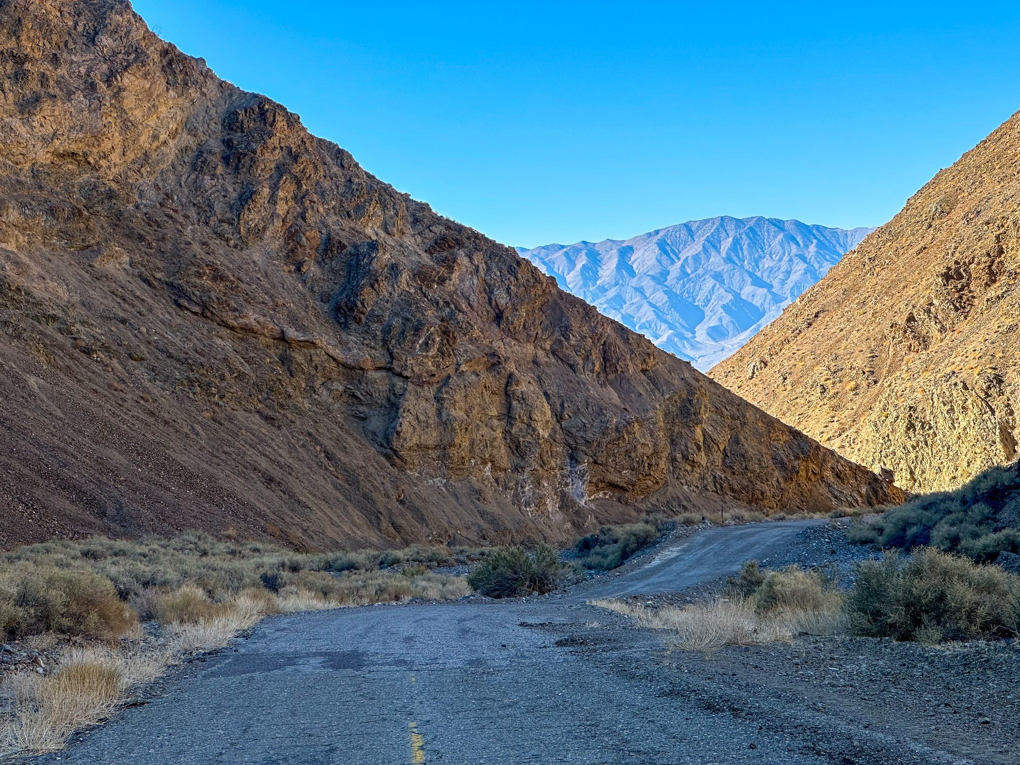
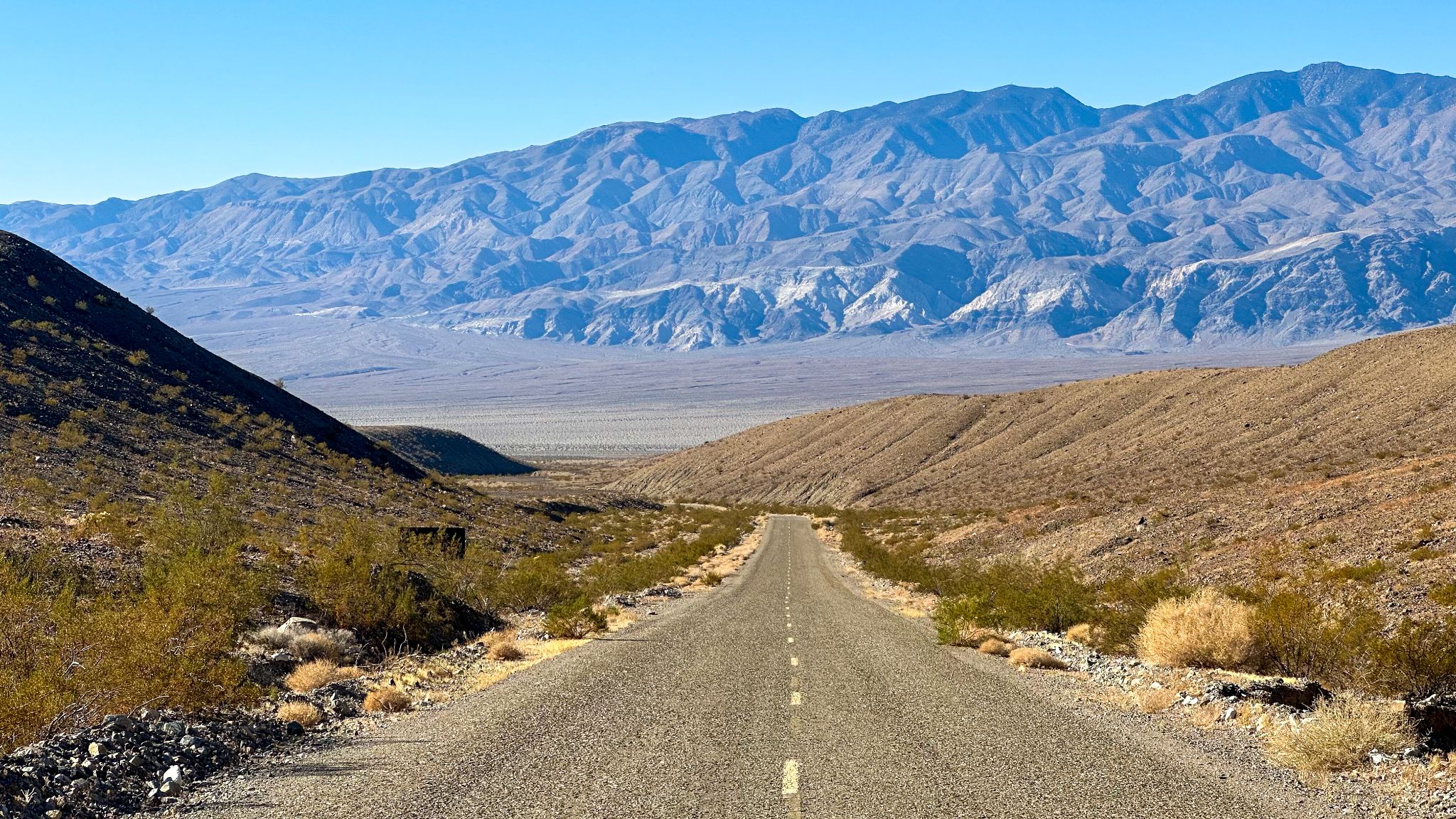
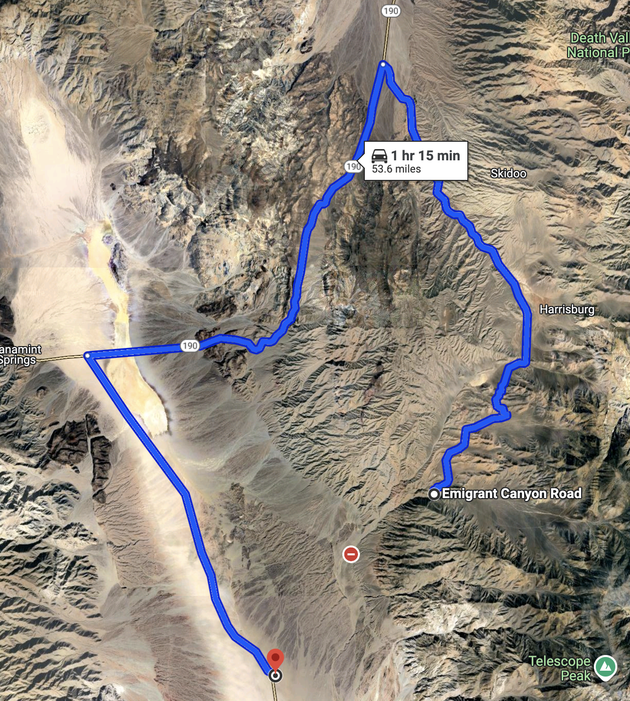
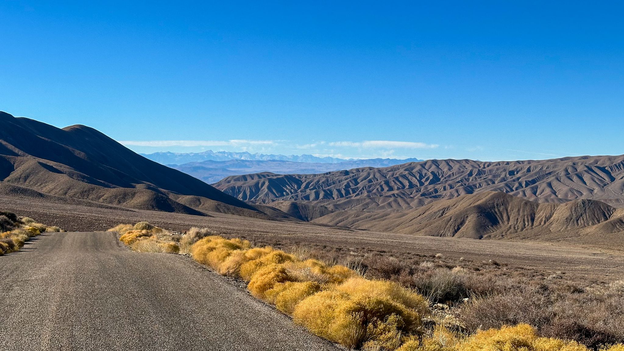
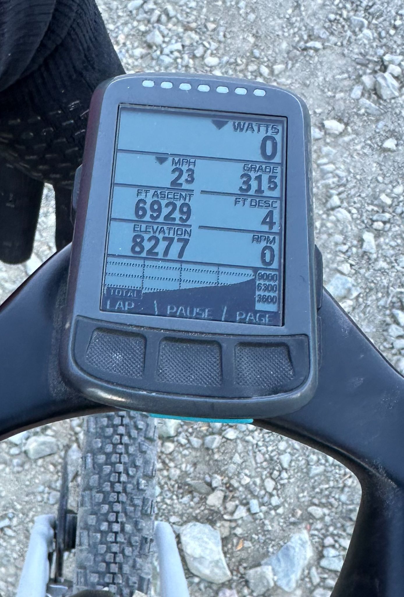
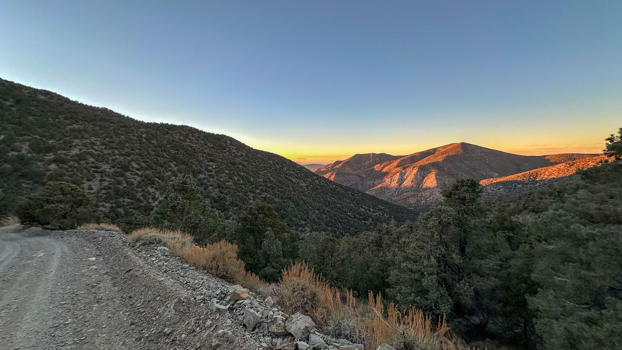
Wildrose - Rogers Peak is a 21-mile, 8,680-ft climb in Death Valley National Park, running from the floor of Panamint Valley to the summit of Rogers Peak at 9,990 ft - the highest point in the park reachable by road. (Telescope Peak, the park's true high point at 11,049 ft, is reachable only on foot from Mahogany Flat.)
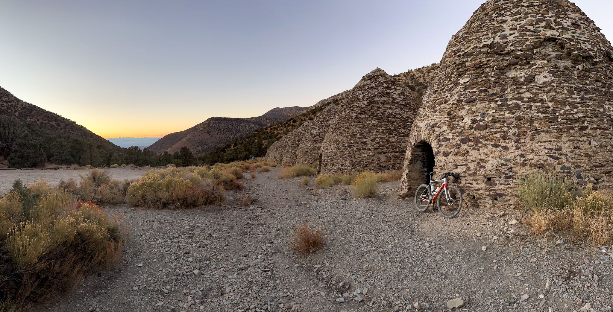
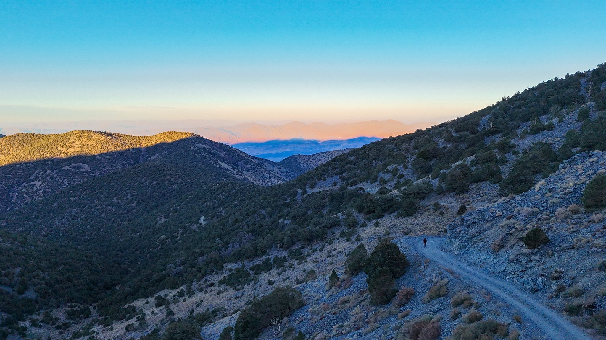
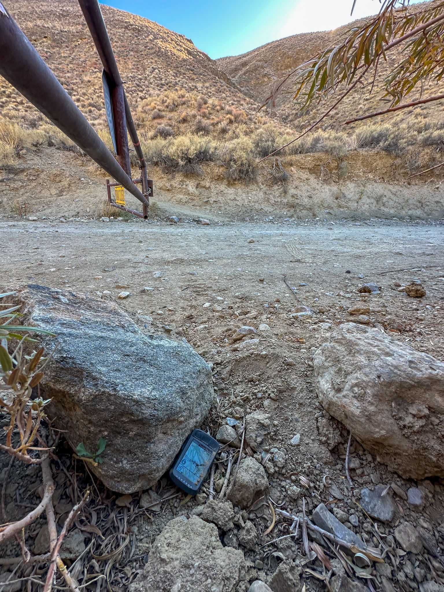
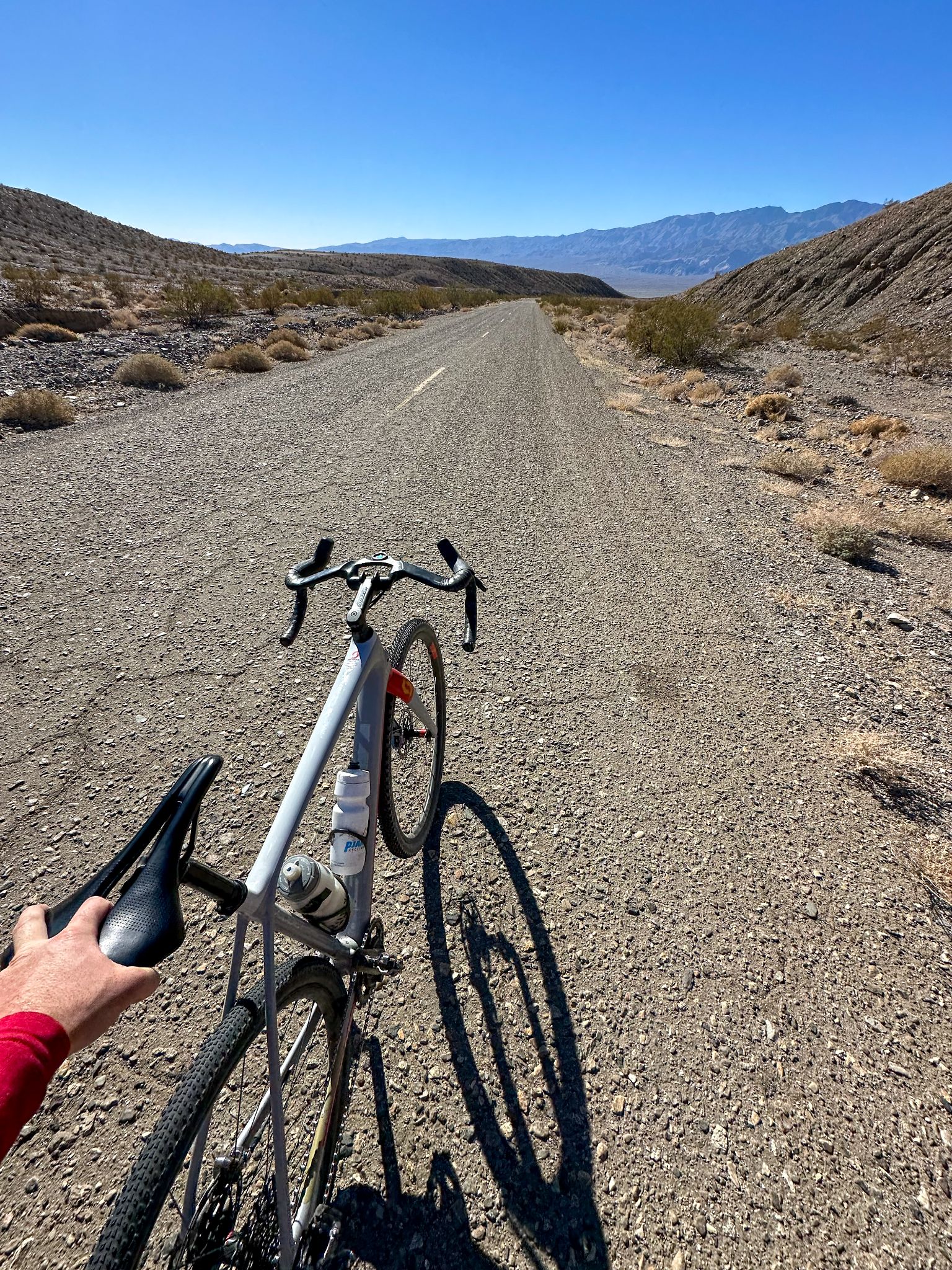
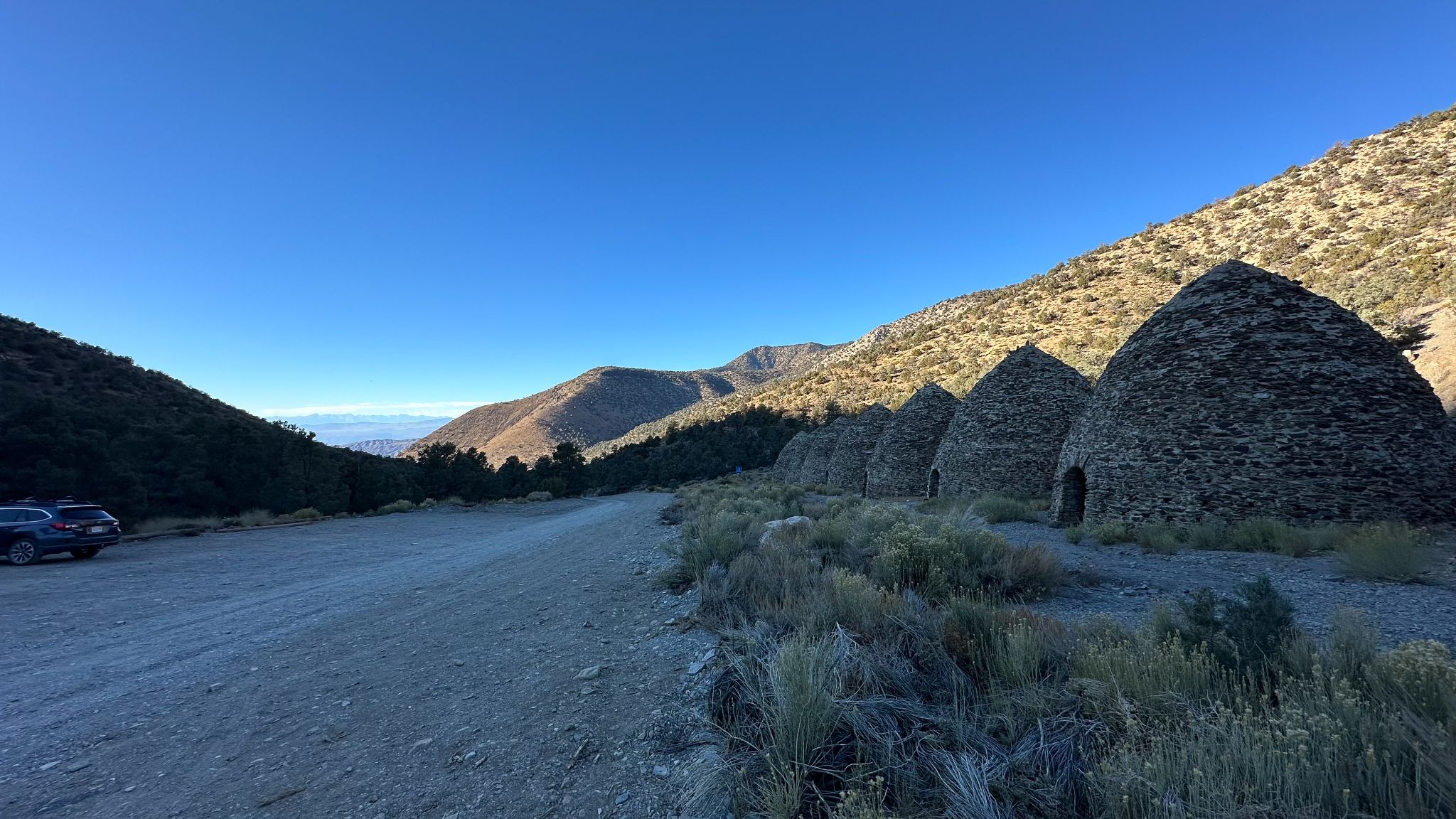
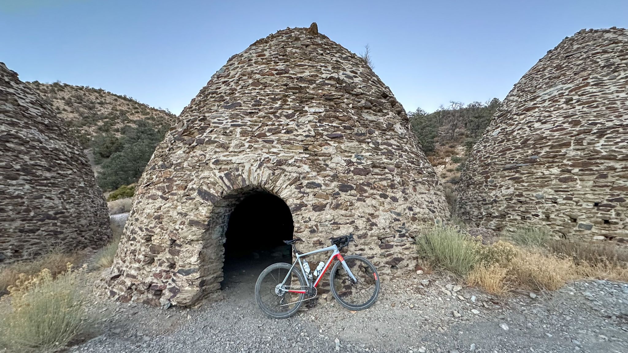
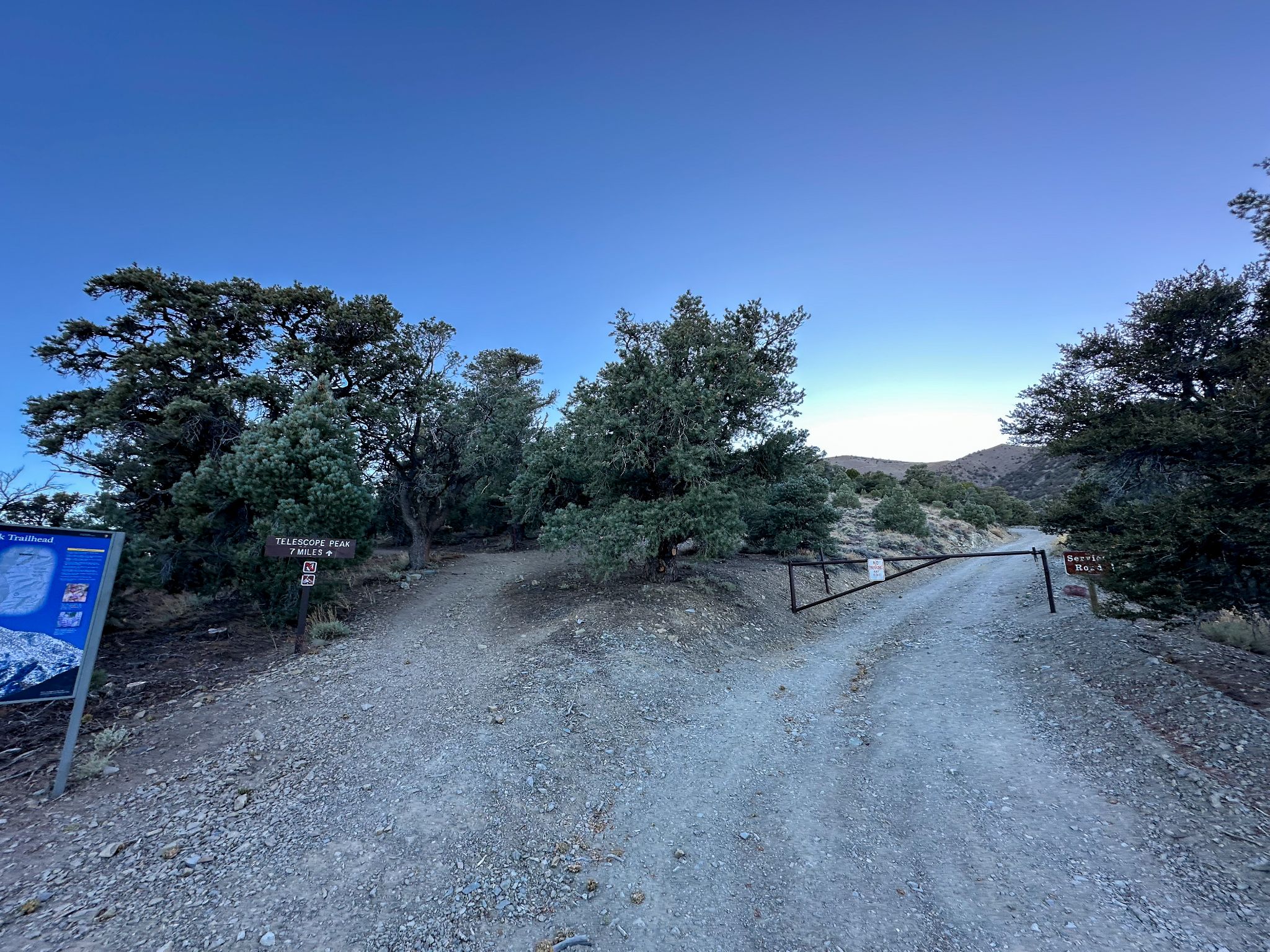
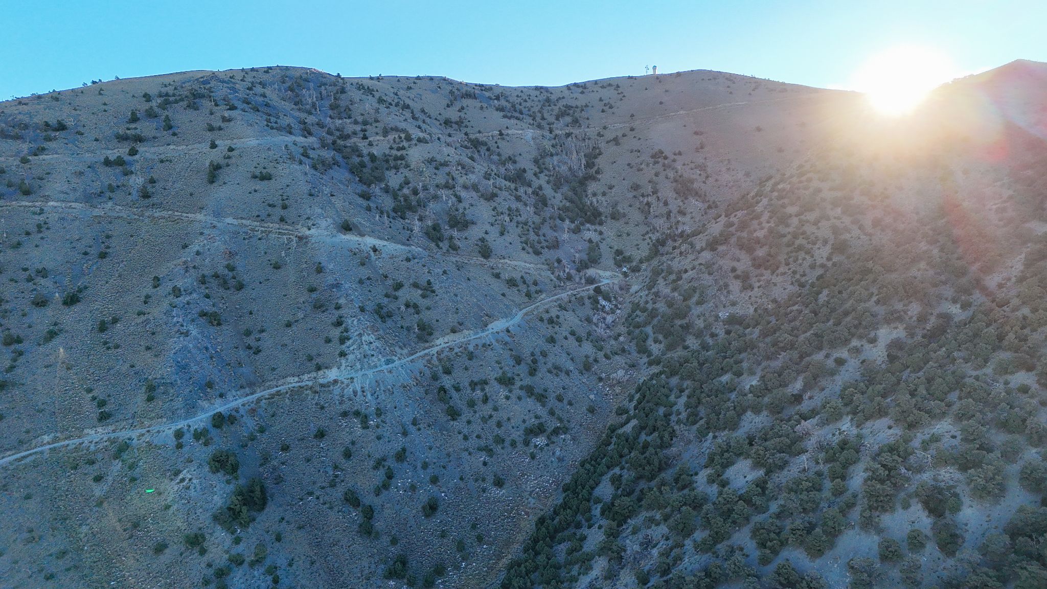
The route unfolds in three stages. The first roughly 4 miles up Emigrant Canyon Road are smoothly paved. Past the historic Wildrose Charcoal Kilns, the road turns to maintained gravel through Thorndike and Mahogany Flat campgrounds, rideable on a gravel bike with the right tires. Above Mahogany Flat is another matter: a rough, unmaintained doubletrack ramping to 12%+ grades on the way to the communications equipment at the summit, with riders reporting sections steep and loose enough to require walking the bike.
As of August 2026, Wildrose, Thorndike, and Mahogany Flat campgrounds are all open per the National Park Service, so the road is passable at least to Mahogany Flat, though conditions above that vary with grading and weather, and the upper road closes seasonally for snow. Starting near sea level in a desert valley and finishing near 10,000 ft, you'll face one of the biggest terrain and temperature swings in our database.
PLAN YOUR ROUTE
 We've partnered with Sherpa-Map.com to bring you the best route planning tool. With a PRO Membership you can use this climb as a reference when creating your route.
 Our segment data shows an average grade of 7.84% over the full 21 miles, but that average hides a lot of variation. The steepest quarter-mile hits 17.75%, and the steepest 100 yards spikes past 19%, concentrated in the final push above Mahogany Flat, where contributors describe pitches of 12-15%+ on loose, rocky surface. The lower paved miles on Emigrant Canyon Road are comparatively gentle; the middle gravel section through the Charcoal Kilns to Mahogany Flat is a steady, sustained grind; the last 2-3 miles to the summit are where the real work happens.
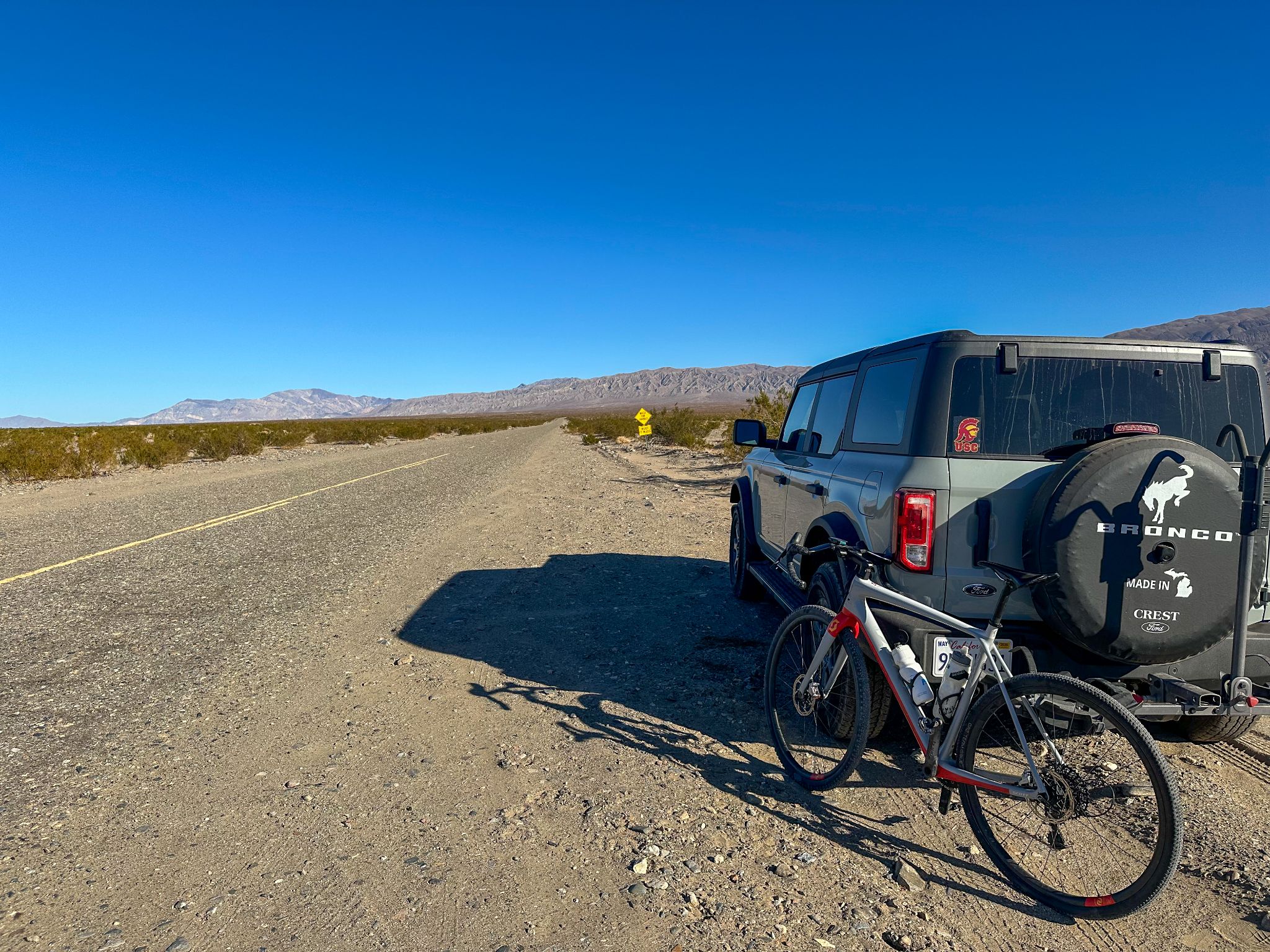
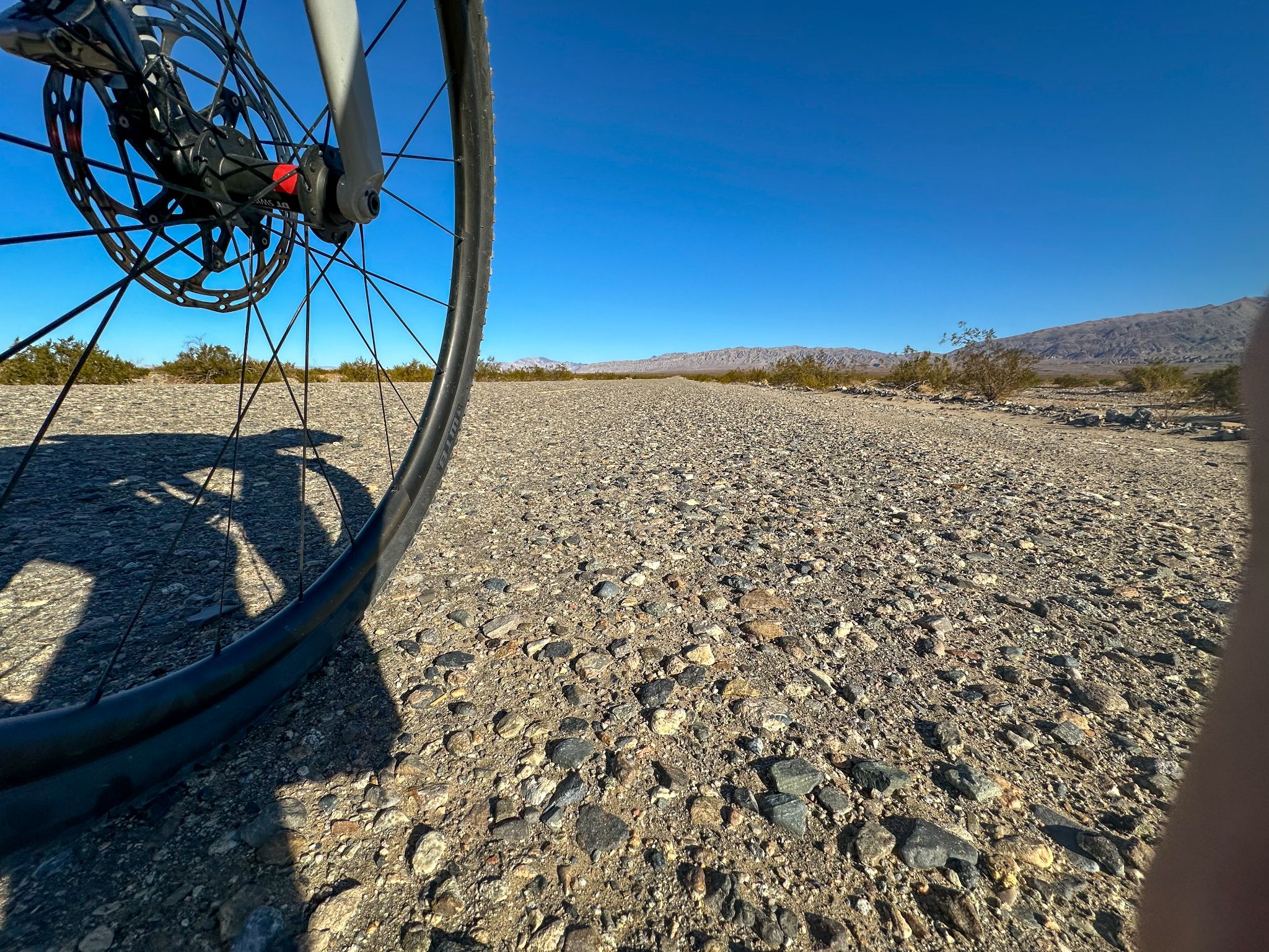
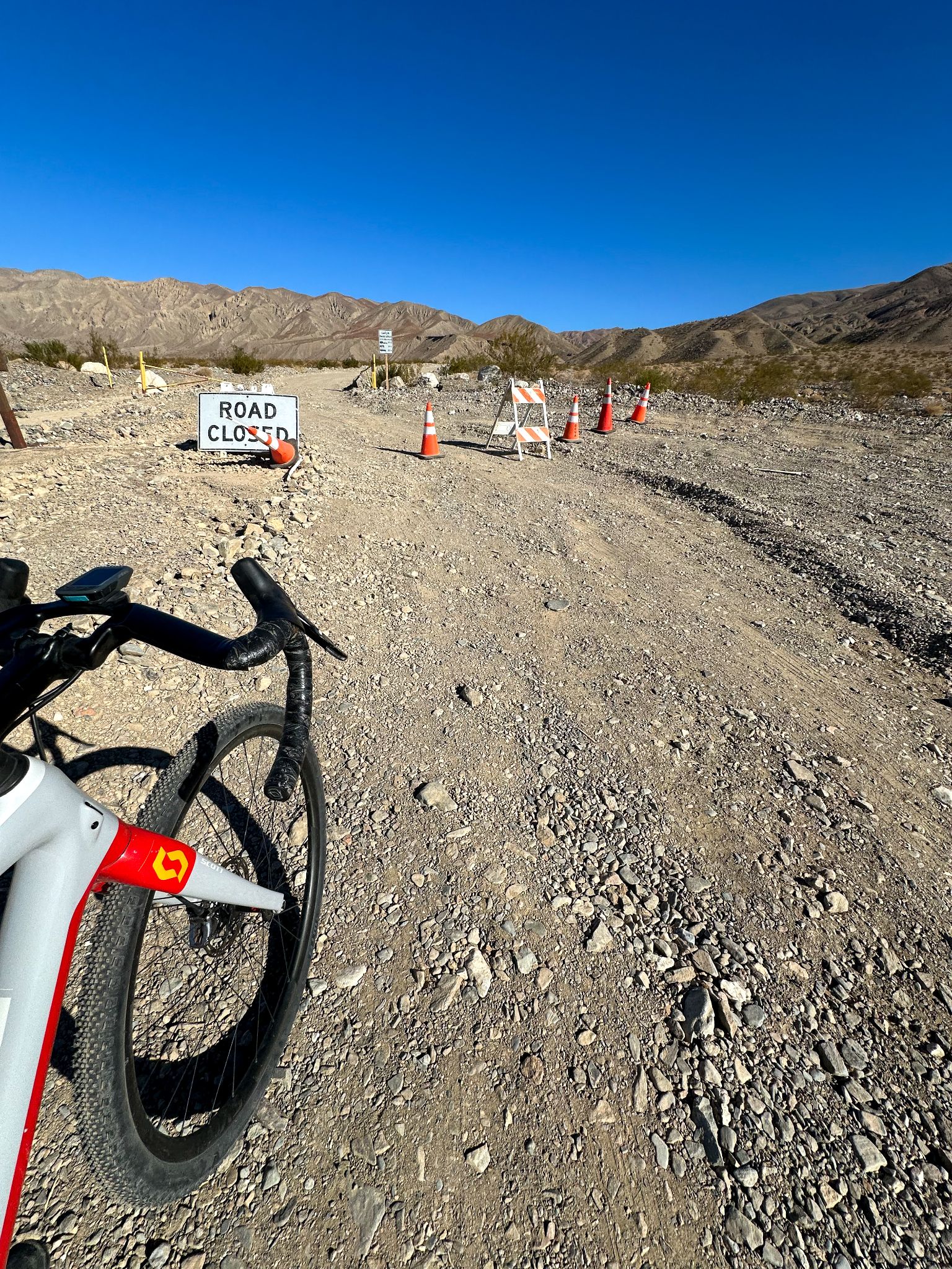
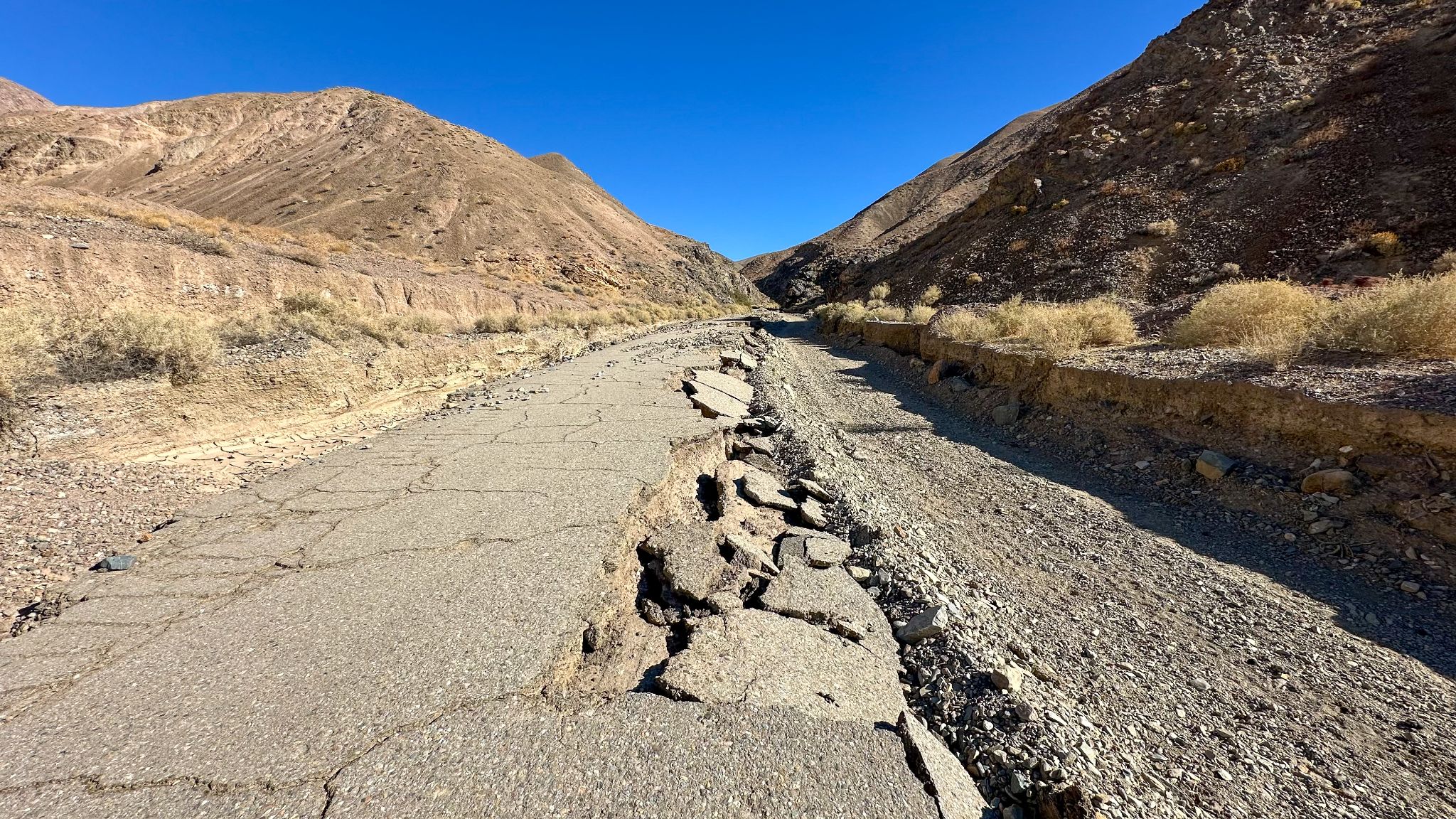
Roadway: The climb starts on paved Emigrant Canyon Road for about 4 miles before turning onto the unpaved road to the Wildrose Charcoal Kilns. From there to Mahogany Flat Campground the surface is maintained gravel/dirt - contributors have ridden it on gravel bikes with 34-37c tires, though washboard and dry, loose sections (worsened by 4WD traffic) can make it rough going. Above Mahogany Flat, the final roughly 2.75 miles to the summit are rough, narrow, and very steep (12%+ grade), with ruts and loose rock that several riders say requires walking sections even on a mountain bike.
Traffic: Very light. This is a remote backcountry route inside Death Valley National Park with minimal vehicle traffic beyond the campgrounds; above Mahogany Flat it's essentially unused except by occasional 4WD vehicles and maintenance crews for the summit's communications equipment.
Parking: Wildrose, Thorndike, and Mahogany Flat campgrounds along the route offer informal parking areas. As of August 2026, all three are open per the National Park Service, though Wildrose Campground has no water. The road above Mahogany Flat closes seasonally for snow and ice, typically in winter - check the NPS Death Valley road conditions page (nps.gov/deva) before heading up, since conditions change quickly after storms.
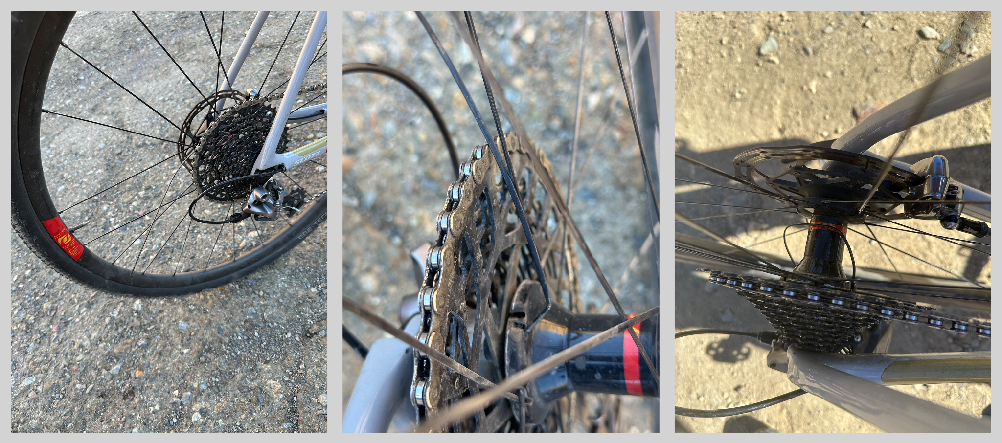
There are no services of any kind along the climb - no water, no food, nothing past the trailhead. Contributors who've done it recommend low gearing: one rode a triple crankset geared to 32-34T, another used a 46/30T crankset with an 11-32T cassette. Tire choice matters - 700x34-37c gravel tires work fine up through the Charcoal Kilns, but several riders say a mountain bike is the better call for the rough, loose final stretch above Mahogany Flat, especially on the descent. Because the route climbs from the desert valley floor to nearly 10,000 ft, pack layers - temperatures can swing from sweltering heat at the bottom to near-freezing wind at the summit, even outside of summer.
Before heading out on any cycling adventure check out our Things to Bring on a Cycling Trip and use our interactive check list to ensure you don't forget anything.
"Here is my take: it's a good, non-technical climb, but steep. Good for MTB, too steep and loose for a gravel bike, I'd say. I went there in late November and it was pretty chilly on the descent, although I had gloves." - Simon Euringer
Bring everything you need - water, food, and fuel - before heading into this stretch of Death Valley National Park; the nearest real services are in Panamint Springs, Ridgecrest, or Trona, all a fair drive from the base. Spring and fall are the most rideable seasons; summer heat in Panamint Valley is dangerous, and the upper road closes for snow in winter.
If you're making a trip of it, Simon also recommends nearby climbs in the area: Aguerreberry Point for the view down onto Furnace Creek, a Pleasant Canyon-Briggs Cabin loop out of Ballarat, and Gold Hill from Badwater Basin.
ROUTE MAP

MEMBER RATING
CURRENT WEATHER
PJAMM TRIPS ADVENTURE STARTER BUNDLES
Check out PJAMM Adventure's prepackaged (self-guided) cycling trips. They will help you plan, document and conquer your next adventure.
NEARBY CLIMBS (0) RADIAL PROXIMITY
FROM No Climbs Found
MEMBER REVIEWS & COMMENTS
Let us know what you thought of this climb. Signup for our FREE membership to write a review or post a comment.
Already have an account?
LOG IN HERE