14.6
PDI
4.5 mi
DISTANCE
1,919 ft
GAINED
8 %
AVG. GRADE
FULL CLIMB STATS
INTRO
In the far northwest corner of Death Valley National Park lies miles and miles of… nothing. Saline Valley and the surrounding Death Valley Wilderness are some of the most remote, quiet places in the country - the only people you'll see back here are campers and other adventurers. Lippincott Pass is easily one of the most epic gravel rides out here, even if you might prefer a mountain bike for it.
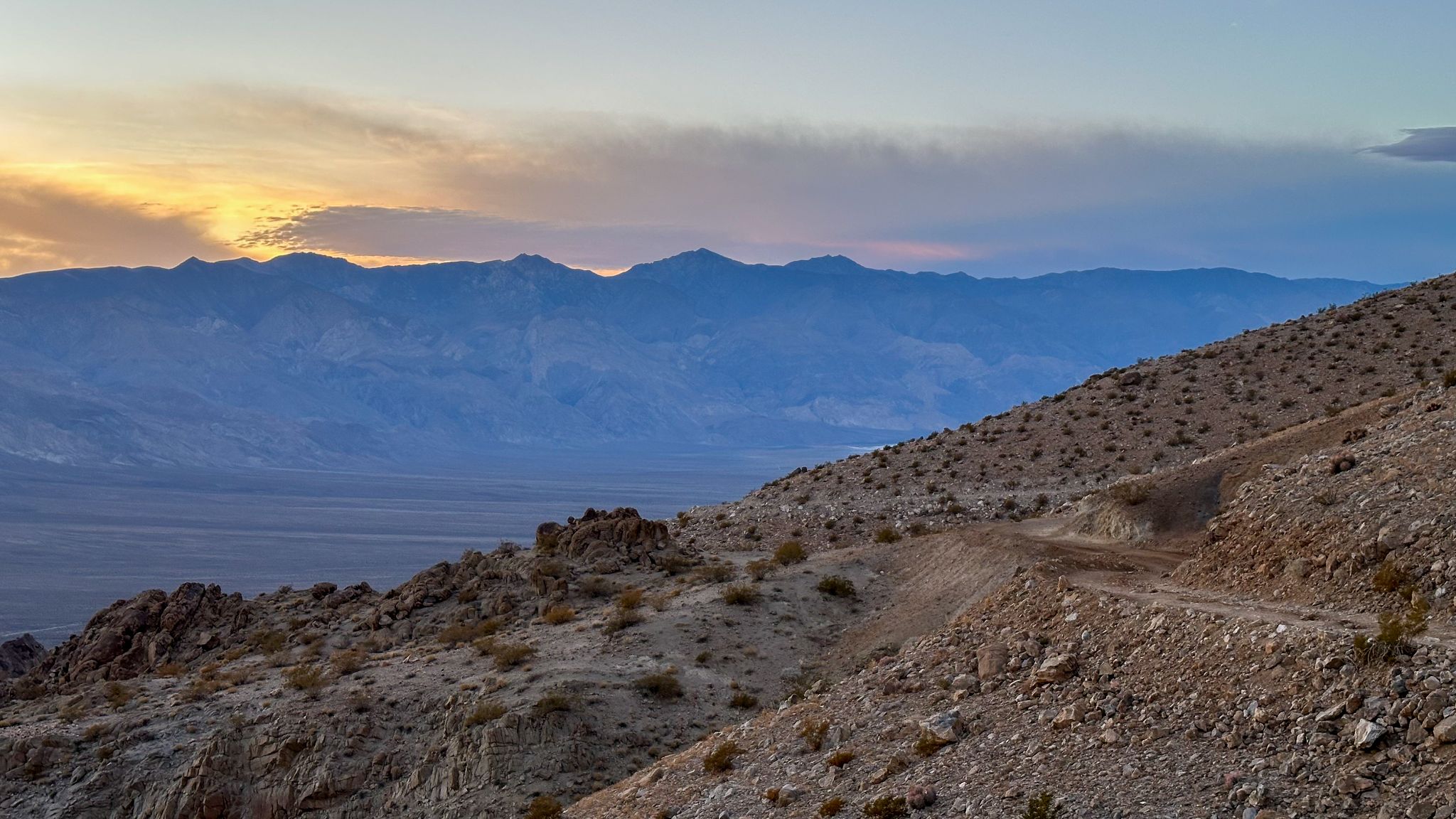
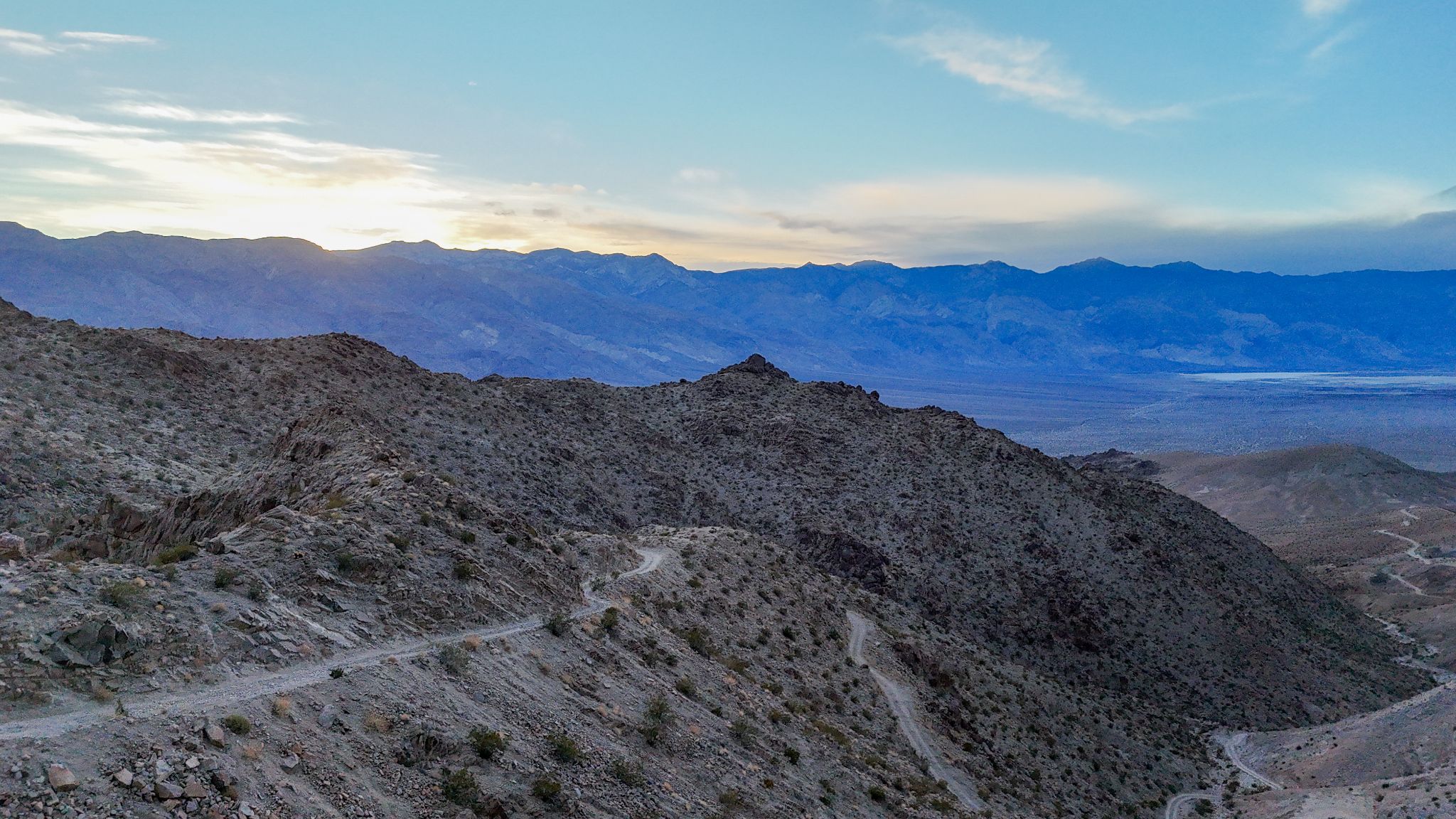
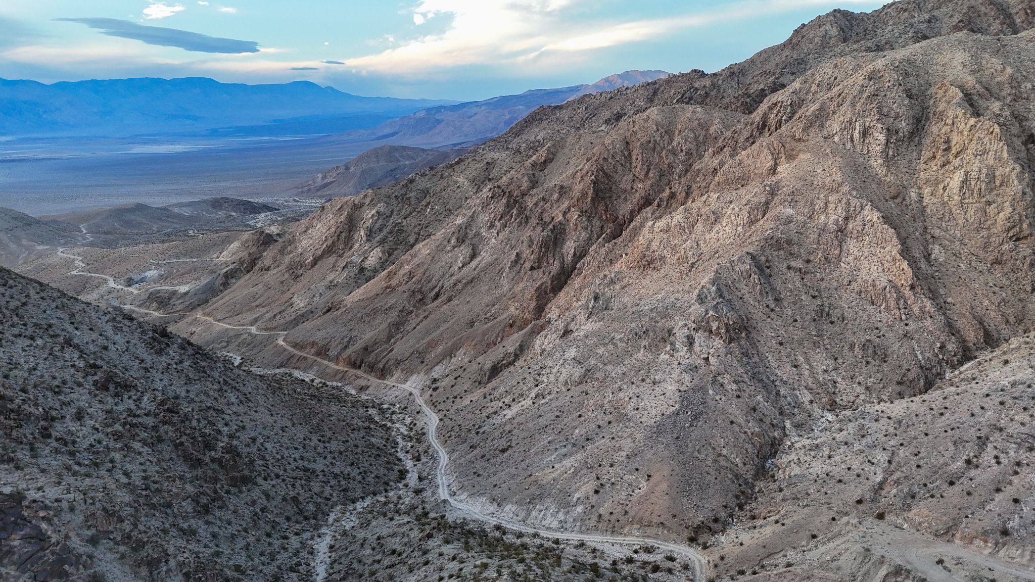
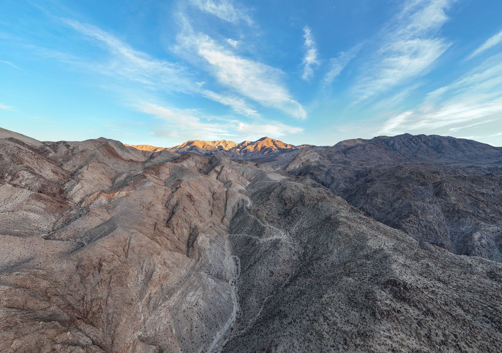
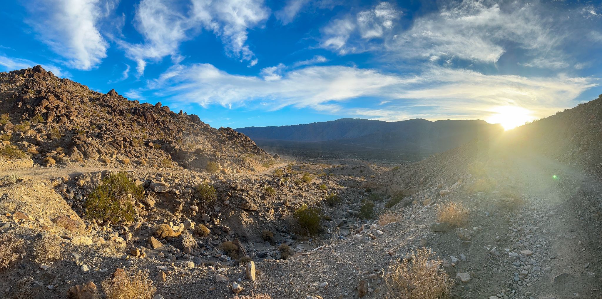
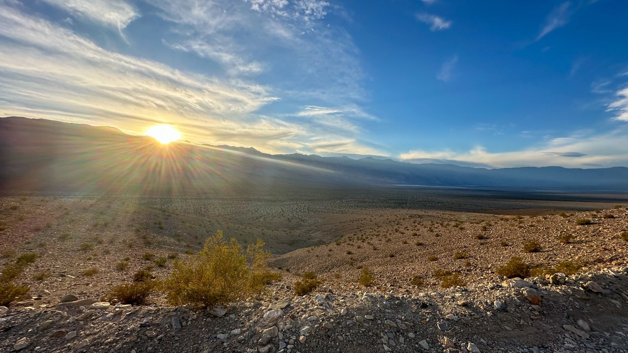
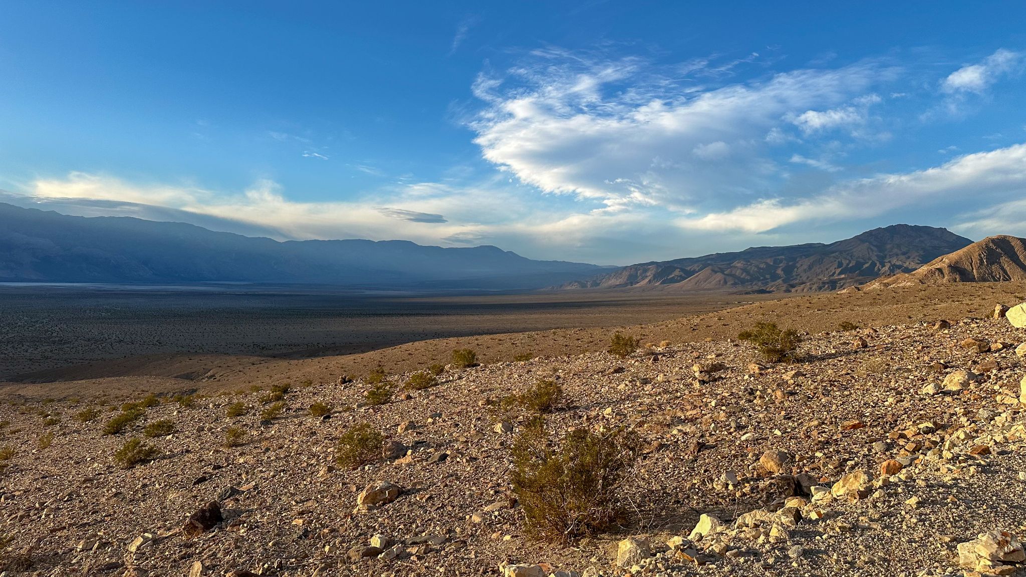
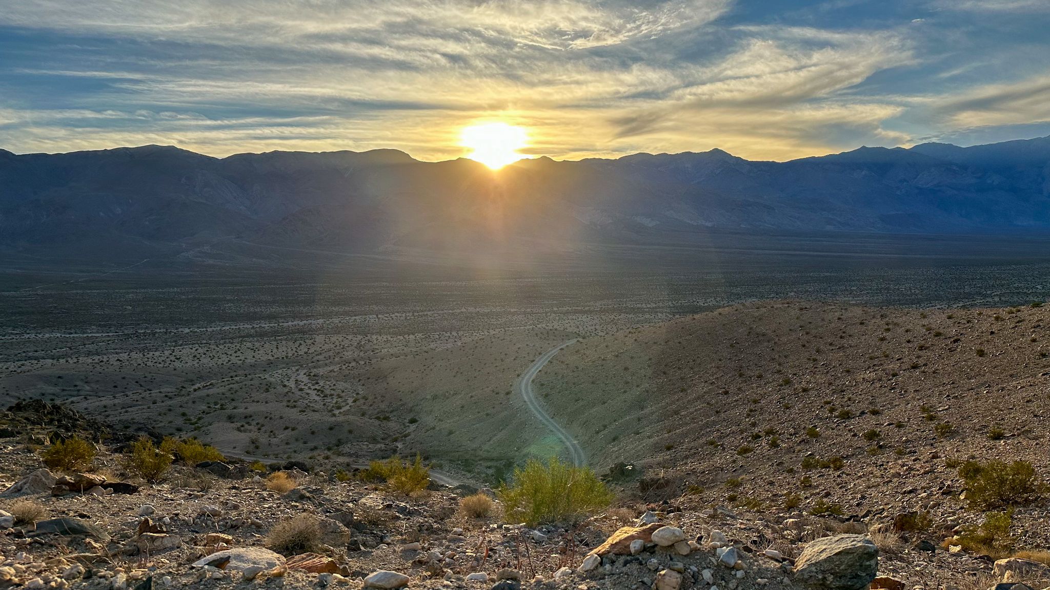
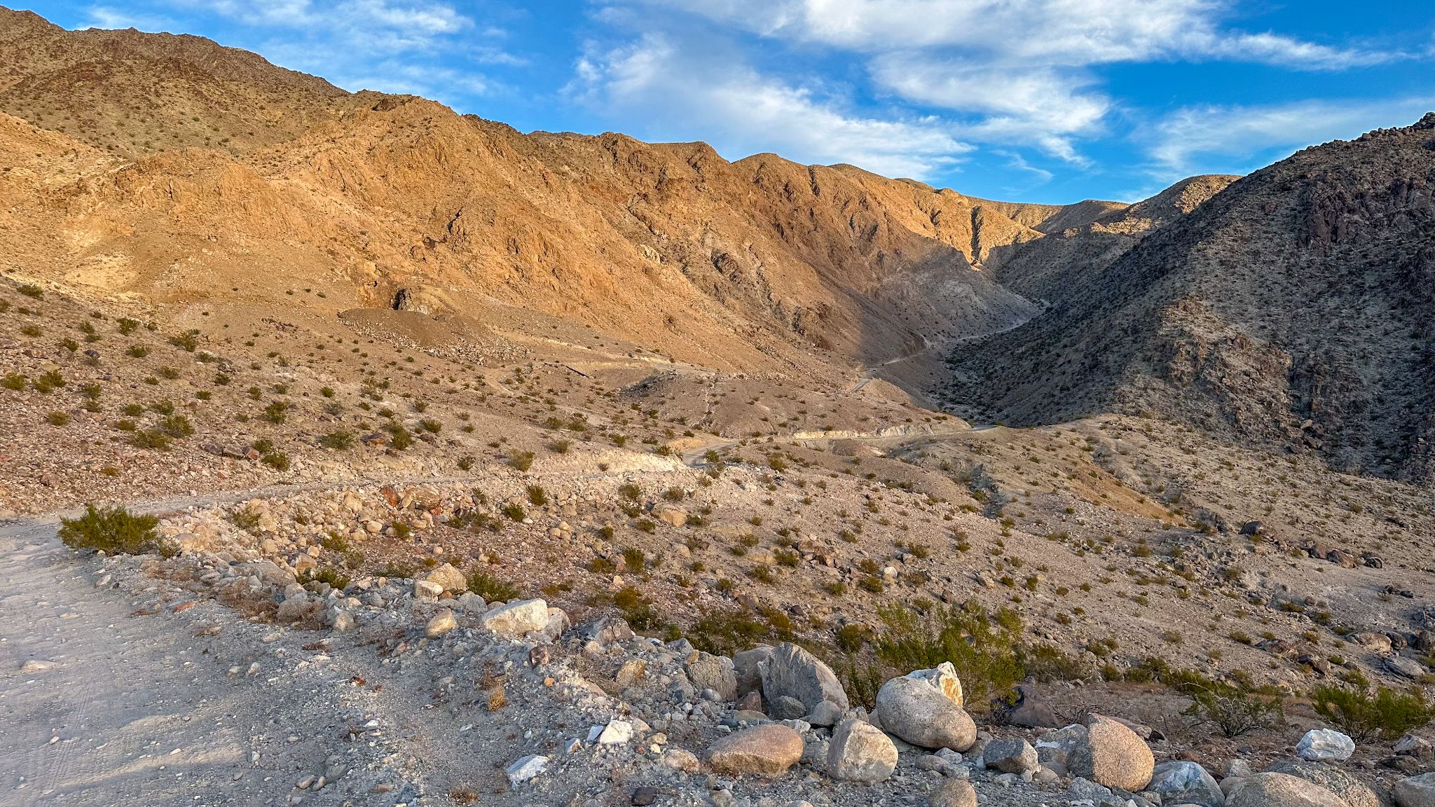
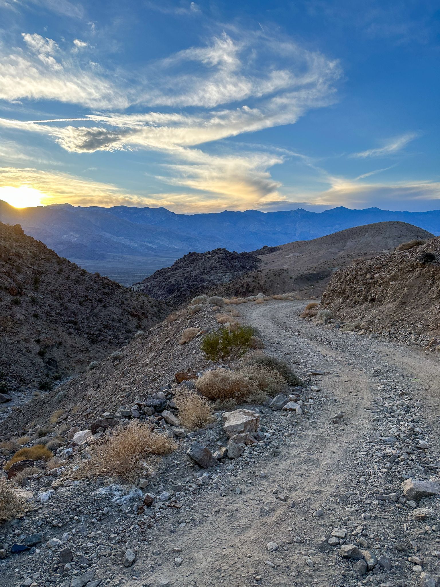
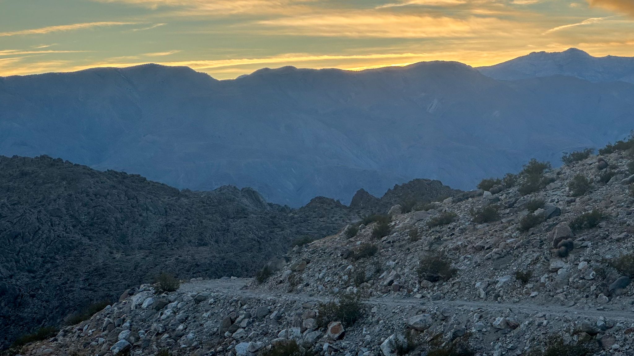
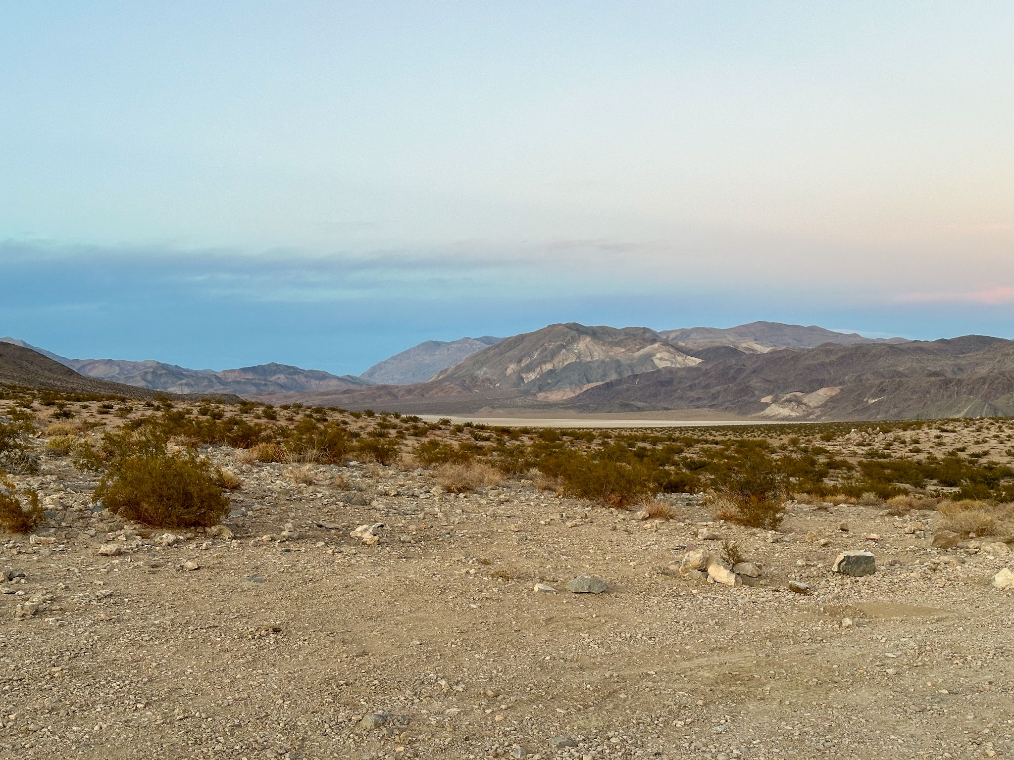
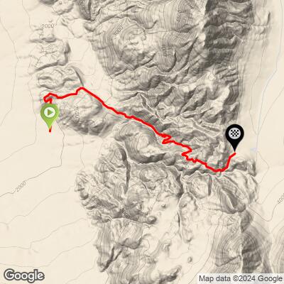
The climb follows Lippincott Road, an old mining road linking Saline Valley to Racetrack Valley, for 4.5 miles and 1,919 ft at an 8.0% average grade, topping out at 3,844 ft. The first two miles cross the alluvial fan at a manageable 6.0%, then the road squeezes into a Star Wars-esque canyon and the grade rears up to a 14.6% mile on loose, fist-sized rock. You will almost certainly hike at some point. Start near sunset like we did (November 2024) and the views back across Saline Valley are unreal. It's not the longest, steepest, or hardest climb in Death Valley, but it might be the only one you simply can't miss.
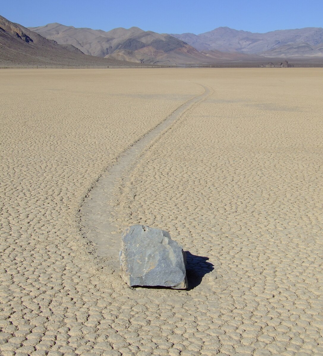
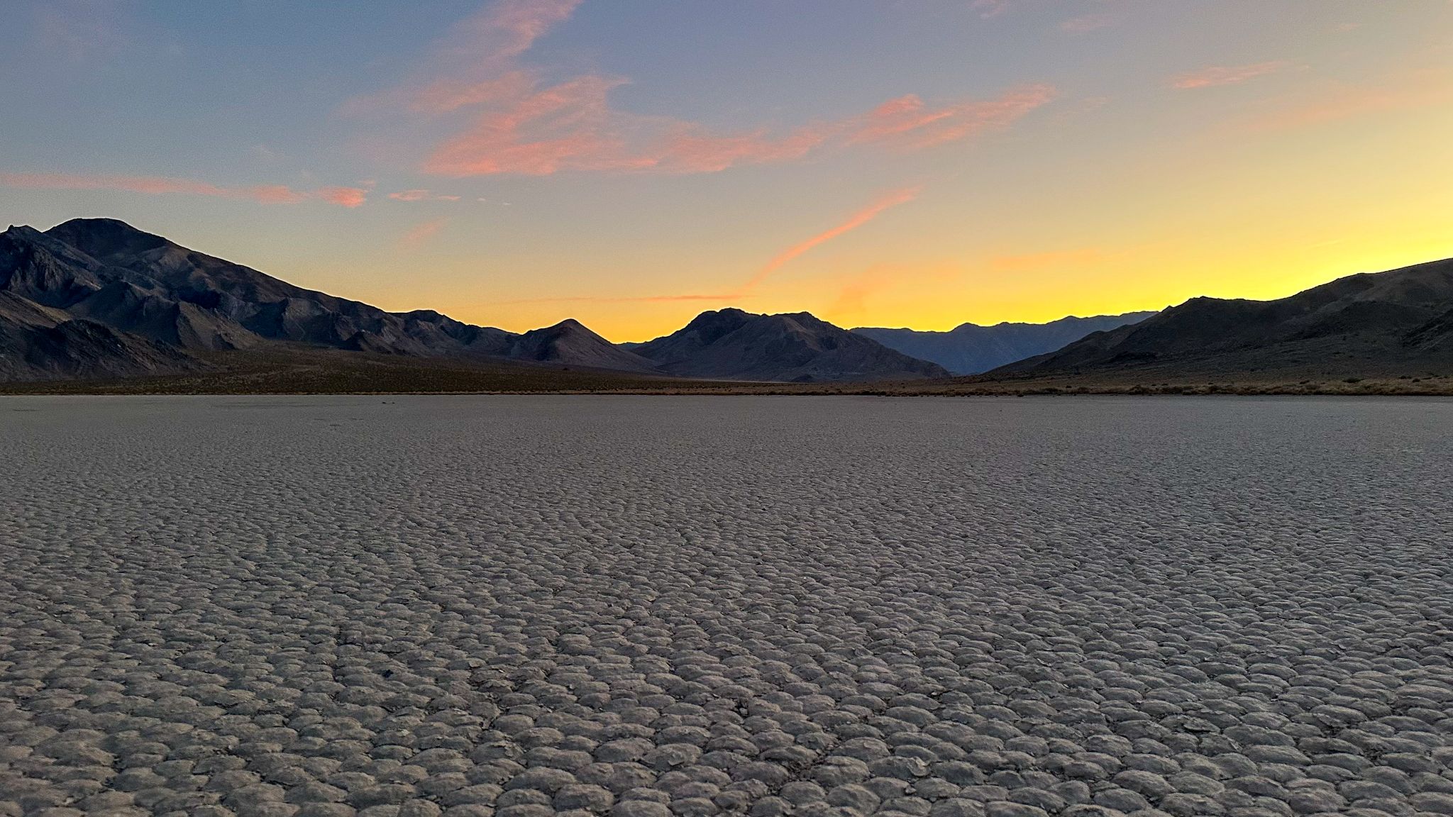
Just beyond the pass lies Racetrack Valley and the Racetrack Playa, home of the famous "sailing stones" - rocks that leave long, winding trails across the dry, cracked lakebed. For decades no one had actually seen them move. In 2014 researchers finally caught it with GPS-tagged rocks and time-lapse cameras: after rare winter rains, a thin sheet of ice forms on the playa, breaks into floating panels as it thaws, and light winds push those panels - and the rocks - slowly across the mud.
PLAN YOUR ROUTE
 We've partnered with Sherpa-Map.com to bring you the best route planning tool. With a PRO Membership you can use this climb as a reference when creating your route.
 Lippincott Pass averages 8.0% over 4.5 miles, but the grade is anything but steady. The first two miles average 6.0% as the road climbs the open alluvial fan out of Saline Valley. Then the real climb begins: the final 2.5 miles average 9.5%, and the steepest mile - starting around mile 2.3 - averages 14.6%, including a half-mile at 15.0% and a quarter-mile at 17.6%. The last half-mile eases to about 5% as you roll over the pass.
Roughly 38% of the climb is at 10% or steeper, and on a surface this loose and rocky, those pitches are where most riders end up walking - plan your gearing (and your shoes) accordingly.
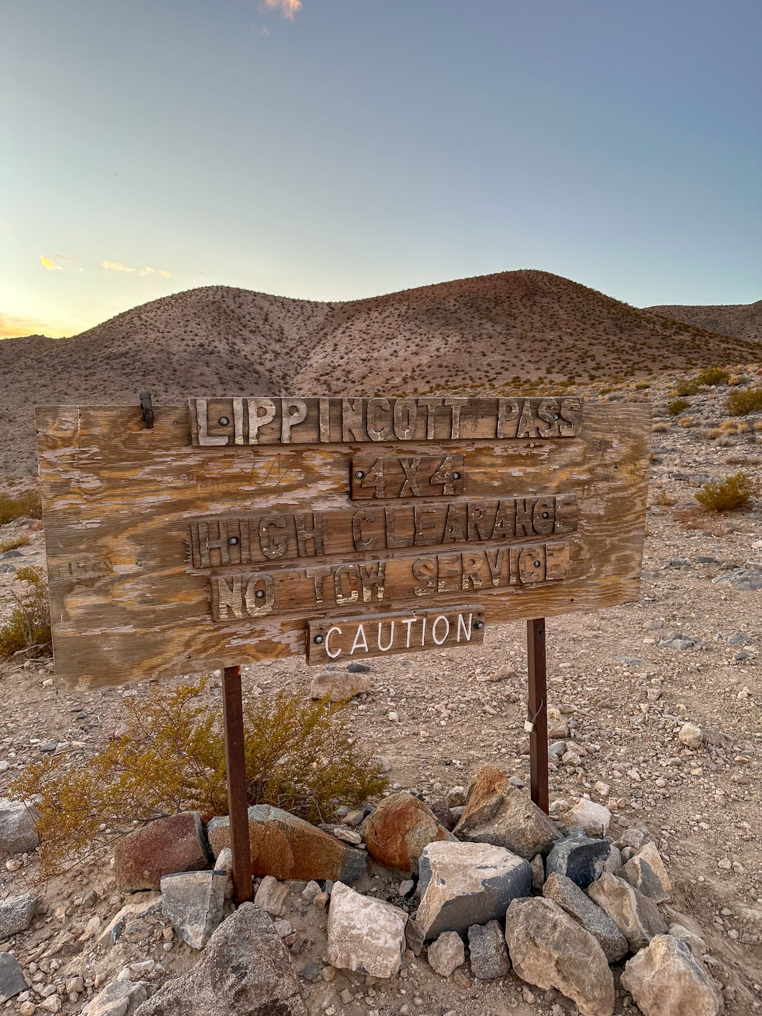
Roadway: Unpaved, rocky, and maintained only to high-clearance 4WD standards - the Park Service describes it as very steep, narrow, winding, and rough, with cliff-edge washouts. It earns a 5 on our surface scale, the roughest gravel can get, and fist-sized rocks are the norm. Like most Death Valley back roads, the lower sections take the worst beating from flash floods. Repairs made a couple of years ago left the pass in decent shape through early 2026, though some stretches of road shoulder have started to fail. A single storm can change everything here, so check the Death Valley NPS Alerts & Conditions page before you go. The Images tab in our Profile Tool shows the surface in detail.
Traffic: Close to none. The occasional high-clearance 4x4 crawling between Saline Valley and the Racetrack is about all you'll see, and you'll hear it long before it reaches you.
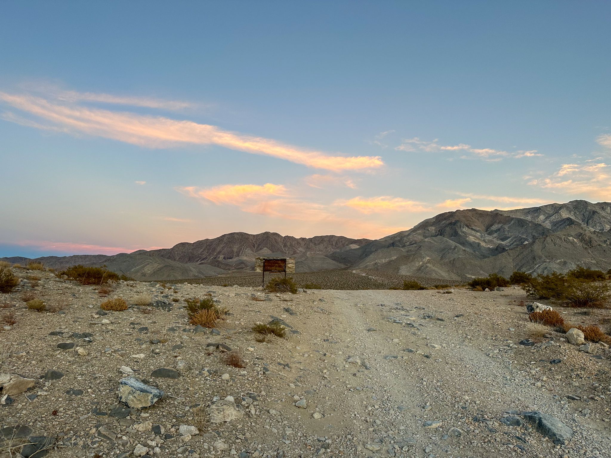
Parking: There's no lot. Pull well off the road near the Saline Valley Road/Lippincott Road junction at the base, without blocking either road. If you're coming in from the Racetrack side instead, Homestake Dry Camp - a primitive NPS campground at the top end of Lippincott Road - makes a natural base: descend the pass first, then climb back up to camp.
Provisions: Absolutely nothing. No water, food, fuel, or cell service for many miles in any direction. Carry more water than you think you'll need for the climb, plus a reserve in the vehicle, and tell someone your plan and expected return time.
Gear: Bring the beefiest rig you can - we rode a gravel bike with a 44mm knobby up front and a 40mm knobby in the back, and anything closer to mountain bike tires is better. Pack spare tubes, a tire boot, and a pump or plugs - the sharp rock here eats sidewalls - and wear shoes you can actually hike in.
Season: Saline Valley is brutally hot from late spring through early fall. Late fall through early spring is the realistic riding window, and even then the desert sun is intense - start early or late in the day.
Before heading out on any cycling adventure check out our Things to Bring on a Cycling Trip and use our interactive check list to ensure you don't forget anything.
There are two very different ways in, and both require a high-clearance vehicle with good all-terrain tires and a full-size spare. From the west, Saline Valley Road reaches the base of the climb via North Pass (from Big Pine) or South Pass (off Hwy 190 near Panamint Springs) - see our Saline Valley Road page for that side. From the east, head north from Hwy 190 toward Ubehebe Crater, then take Racetrack Valley Road about 20 miles to Teakettle Junction and another 9.5 miles past the Racetrack Playa to Homestake Dry Camp at the top of the pass. Mesquite Spring Campground near Ubehebe Crater is the closest developed campground on that side.
Leave time to walk out to the sailing stones - but only when the playa is dry. Footprints in wet mud scar the surface for years, and the playa can flood after winter storms. Leave the rocks exactly where they are.
Lippincott is one of several remote gravel climbs in this corner of the park - use our Routes in the Area tool to see Saline Valley Road, Racetrack Valley Road, and other climbs nearby.
ROUTE MAP
MEMBER RATING
CURRENT WEATHER
PJAMM TRIPS ADVENTURE STARTER BUNDLES
Check out PJAMM Adventure's prepackaged (self-guided) cycling trips. They will help you plan, document and conquer your next adventure.
NEARBY CLIMBS (0) RADIAL PROXIMITY
FROM No Climbs Found
MEMBER REVIEWS & COMMENTS
Let us know what you thought of this climb. Signup for our FREE membership to write a review or post a comment.
Already have an account?
LOG IN HERE