![]()
Cycling NF Road 20
Ride 11.4 miles gaining 4,633’ at 7.7% average grade.
This climb is ranked in the Top 50 using the PJAMM Difficulty Index and not far from other top gravel climbs up Mt. Ashland.
![]()
Climb summary by PJAMM’s Brad Butterfield -
This climb starts just beyond a high bridge crossing the Elk River. There is a campground called Bear Bar a few hundred yards from the start point of the climb which is perfect to park at. The road is all gravel and in very good condition. A motivated rider could climb the road on a road bike with standard width tires - though a gravel bike is certainly the best tool for the job.There were a number of rock slides along the road, but none which required dismounting the bike. Not many views from the road as trees line either side of the road for the entirety.
![]()
The climb begins about 27 miles from Medford on the northern border of the Rogue River-Siskiyou National Forest, 1,723,179 acres established 1906 (Rogue River) and 1907 (Siskiyou) and administratively combined in 2004.
![]()
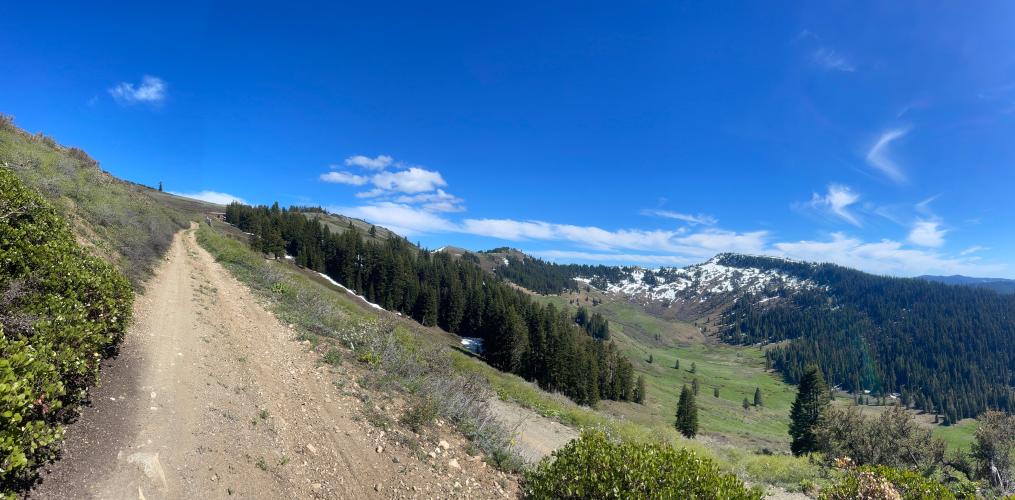
Road surface at various points along the climb.
See where these points are on the map via Images on the Profile Tool.
The road is well maintained and in excellent condition as of June, 2024.
![]()
National Forest Road 20 runs along the crest of the Siskiyou Mountains. It was originally constructed in 1936-37 by the Civilian Conservation Corps to provide access to the high elevation forestlands of the eastern Siskiyous
![]()
![]()
![]()
Climb finishes at Dutchman’s Peak Lookout
Photo by ron Kemnow
Unfortunately, we were not aware that this climb could continue to the lookout when we rode NF Road 20 in June 2024. However, be sure to take a left at mile 11.1 and climb another 8/10’s of a mile at 8% average grade to the lookout at 7,417’ elevation. The tower was built in 1927 and is still staffed during summer months as of June, 2024.
![]()
That’s a wrap!!

 We've partnered with Sherpa-Map.com to bring you the best route planning tool. With a PRO Membership you can use this climb as a reference when creating your route.

