9
PDI
3.6 mi
DISTANCE
1,391 ft
GAINED
7.4 %
AVG. GRADE
FULL CLIMB STATS
INTRO
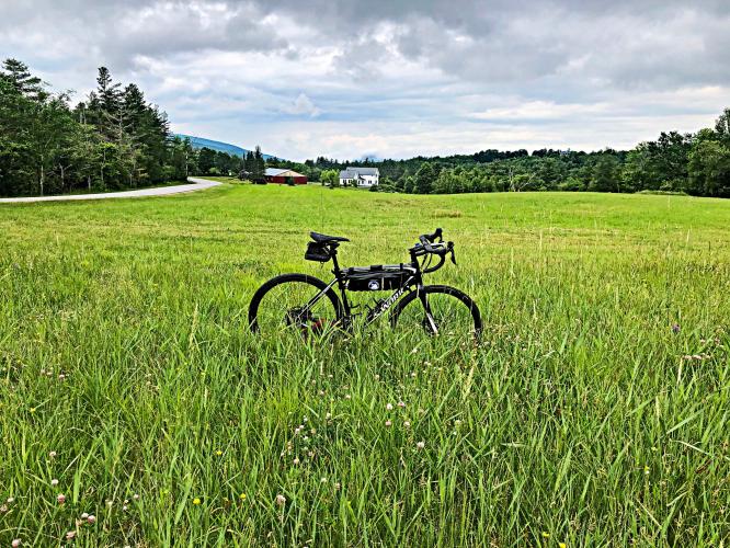
This climb is ranked #7 on the Vermont Top Bike Climbs list and has the second steepest half-mile in the state after Lincoln Gap East. The ride is very peaceful, initially past open fields and then surrounded by forest as the climb becomes gradually steeper until it reaches insanity for the last half mile.
Secret tip: look under the bridge at the start of the climb - photo.
PLAN YOUR ROUTE
 We've partnered with Sherpa-Map.com to bring you the best route planning tool. With a PRO Membership you can use this climb as a reference when creating your route.
 Lincoln Gap is all about UP, on both sides. The average grade of the climb is 7.7% but do not let that modest average lull you into a sense of complacency as you move up the hill. You will be tested on this climb - 18% is in the 10-15% range, and 11% is at 15-20%. Although the map does not pick this up, the grade reaches 26% (I am quite proud of myself having been able to balance my bike at 2.3 mph to take a photo of my Garmin reading 26%). The steepest quarter-mile is 16.9%.
See more details and tools regarding this climb's grade via the “Profile Tool” button.
Roadway: Narrow two lane road in good condition with no shoulder.
Traffic: Mild - not a problem.
Parking: I parked in Warren and did this climb as an out and back with Lincoln Gap East. But there is parking on the side of the road near the start of this climb - Map.
Provisions: None on the route - there is a store in Lincoln one mile north (Map), and in Warren eight miles west (Map).
Before heading out on any cycling adventure check out our Things to Bring on a Cycling Trip and use our interactive check list to ensure you don't forget anything.
There are several climbs in the area - see the Routes in Area Tool. There are a few quaint places to stay in the area. If your cycling plans have you staying for a longer visit, there are many great condo and villa rentals in this popular ski area.
ROUTE MAP

MEMBER RATING
CURRENT WEATHER
PJAMM TRIPS ADVENTURE STARTER BUNDLES
Check out PJAMM Adventure's prepackaged (self-guided) cycling trips. They will help you plan, document and conquer your next adventure.
NEARBY CLIMBS (0) RADIAL PROXIMITY
FROM No Climbs Found
MEMBER REVIEWS & COMMENTS
Let us know what you thought of this climb. Signup for our FREE membership to write a review or post a comment.
Already have an account?
LOG IN HERE

