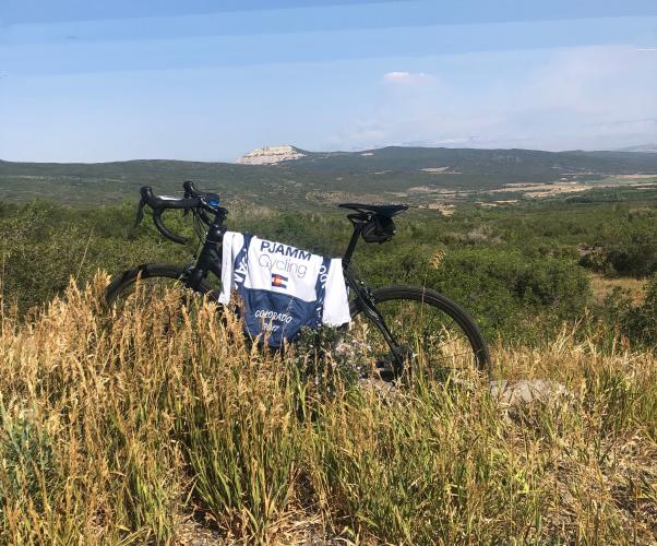
INTRO
PLAN YOUR ROUTE
 We've partnered with Sherpa-Map.com to bring you the best route planning tool. With a PRO Membership you can use this climb as a reference when creating your route.
 ROUTE MAP


 We've partnered with Sherpa-Map.com to bring you the best route planning tool. With a PRO Membership you can use this climb as a reference when creating your route.
Cycling Grand Mesa North, a top US bike climb in the Rocky Mountains.
Ride 21.4 miles gaining 6,110’ to 10,830’ at 5% average grade.
Climb summary by PJAMM’s John Johnson.
The Grand Mesa North bike climb is a remote one -- it is the furthest west of the nine Top 100 U.S. climbs in Colorado, and is located in the Grand Mesa National Forest. Its claim to fame is that Grand Mesa is the largest flat-topped mountain in the world. The pass can be reached from both the north and south, the north being the most scenic approach.
Both the Grand Mesa North and South bicycle rides are in Grand Mesa National Forest (346,555 acres, established 1892).
As can be seen from our video of the climb, the first seven miles are spectacular, thanks to the distant mesas in view for much of the first two-thirds of the climb, although the surrounding scenery is fairly modest with plenty of pasture surrounding us during the initial climb.
Location: The Grand Mesa North bike climb begins on one side of the Grand Mesa Scenic and Historic Byway at the intersection of Highway 65 and 45 1/2 Road (yes, that is its name, see photo below!), 30 miles east of Grand Junction, and 257 miles west of Denver International Airport. This one is out there!
Start of climb.
On our three times climbing Grand Mesa North we have parked at the intersection of Highway 65 and 45 ½ Road.
Ride through the interesting small town of Mesa at mile two.
First four miles of the climb.
Chalk Mountain (photo center) to the west as we climb.
We have some extremely scenic, interesting, and entertaining views after passing briefly through Mesa and beginning our ascent in earnest.
Entertaining . . .
(Trailer reads: “Caution: The floor of this trailer is covered with political promises”).
. . . interesting . . .
. . . agricultural . . . and . . .
. . . Scenic . . .
. . . in the Grand Mesa National Forest (est. 1892; 346,555 acres).
The last 2.5 miles are nearly flat at 1.5%.
Finish at the elevation sign.
Roadway Surface and Traffic Report: For both the northern and southern approaches to the pass, the roadway is very good and while there is moderate and briskly moving traffic along the first third of the route, the traffic thins as you ascend and was never really a concern for us.
At the top of the climb, you can take a dirt road to the right to the Land’s End Observatory:
“Land's End Observatory is a ranger observatory on the rim of Grand Mesa in Colorado. It is accessible from the Grand Mesa Scenic and Historic Byway via Land's End Road, which is about half paved and half gravel. . . . The observatory was built by the United States Forest Service and the Works Progress Administration in 1936-37, with some assistance from two Civilian Conservation Corps (CCC) side camps. A large viewing area outside the building provides a panoramic view of western Colorado and eastern Utah. As of 2014, the observatory building itself is closed and boarded up. . . .”
That’s a wrap!!