24
PDI
10 mi
DISTANCE
3,769 ft
GAINED
7.1 %
AVG. GRADE
FULL CLIMB STATS
INTRO
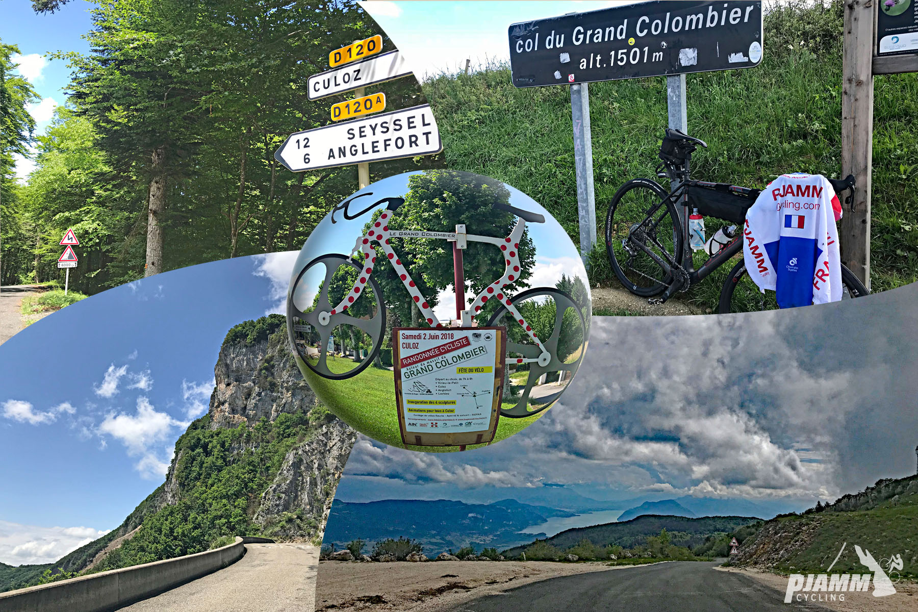
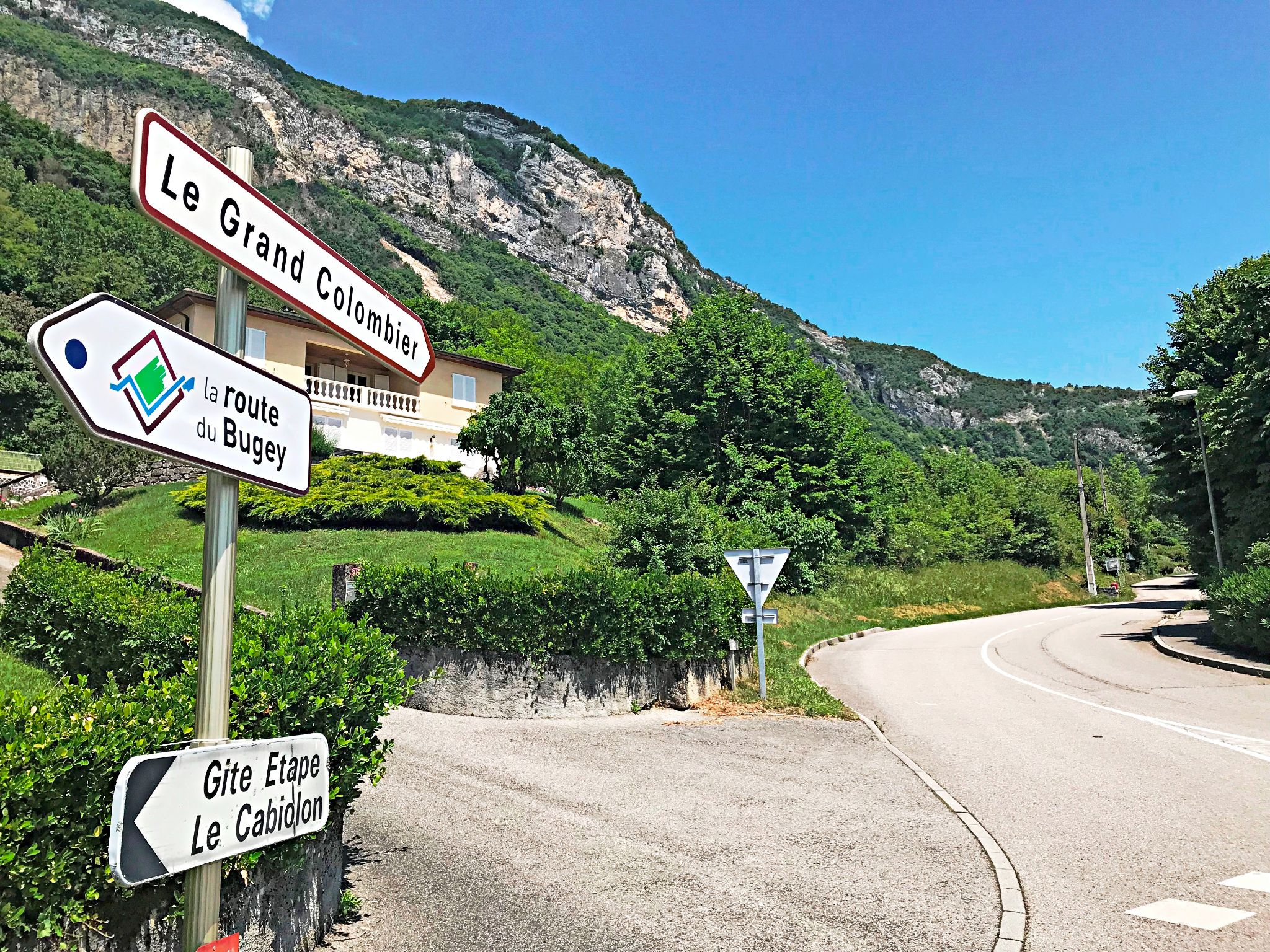
Col du Grand Colombier is the giant of the southern Jura, and the road up from Culoz is its showpiece - the route the Tour de France has used for both of its summit finishes here. From the northern edge of Culoz the climb runs 16.1 km (10.0 mi) and gains 1149 m (3,769 ft) at a 7.1% average, but the average undersells it: double-digit ramps alternate with brief recoveries, and the steepest kilometer averages 11.2%.
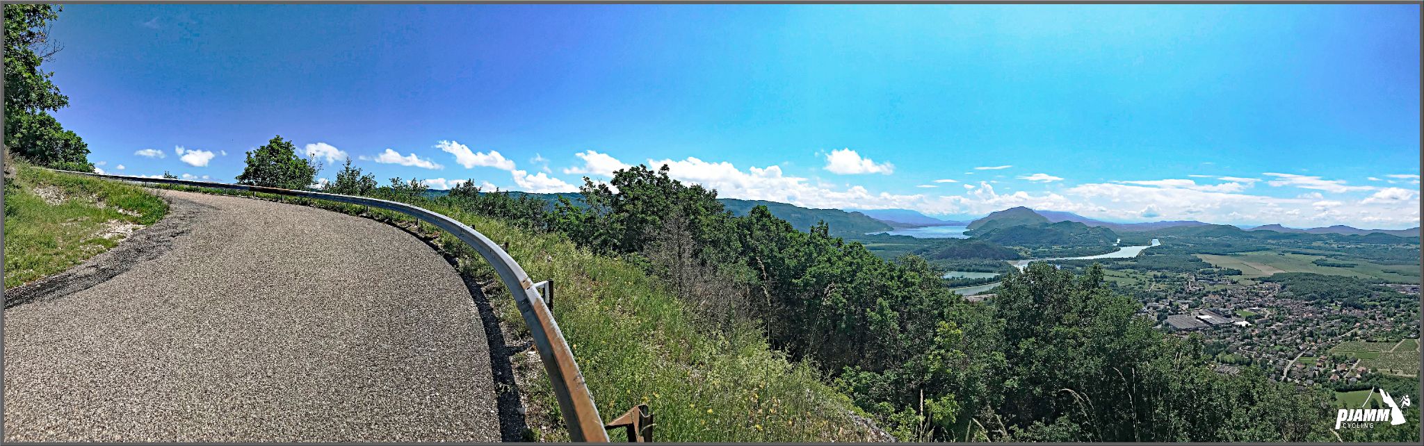
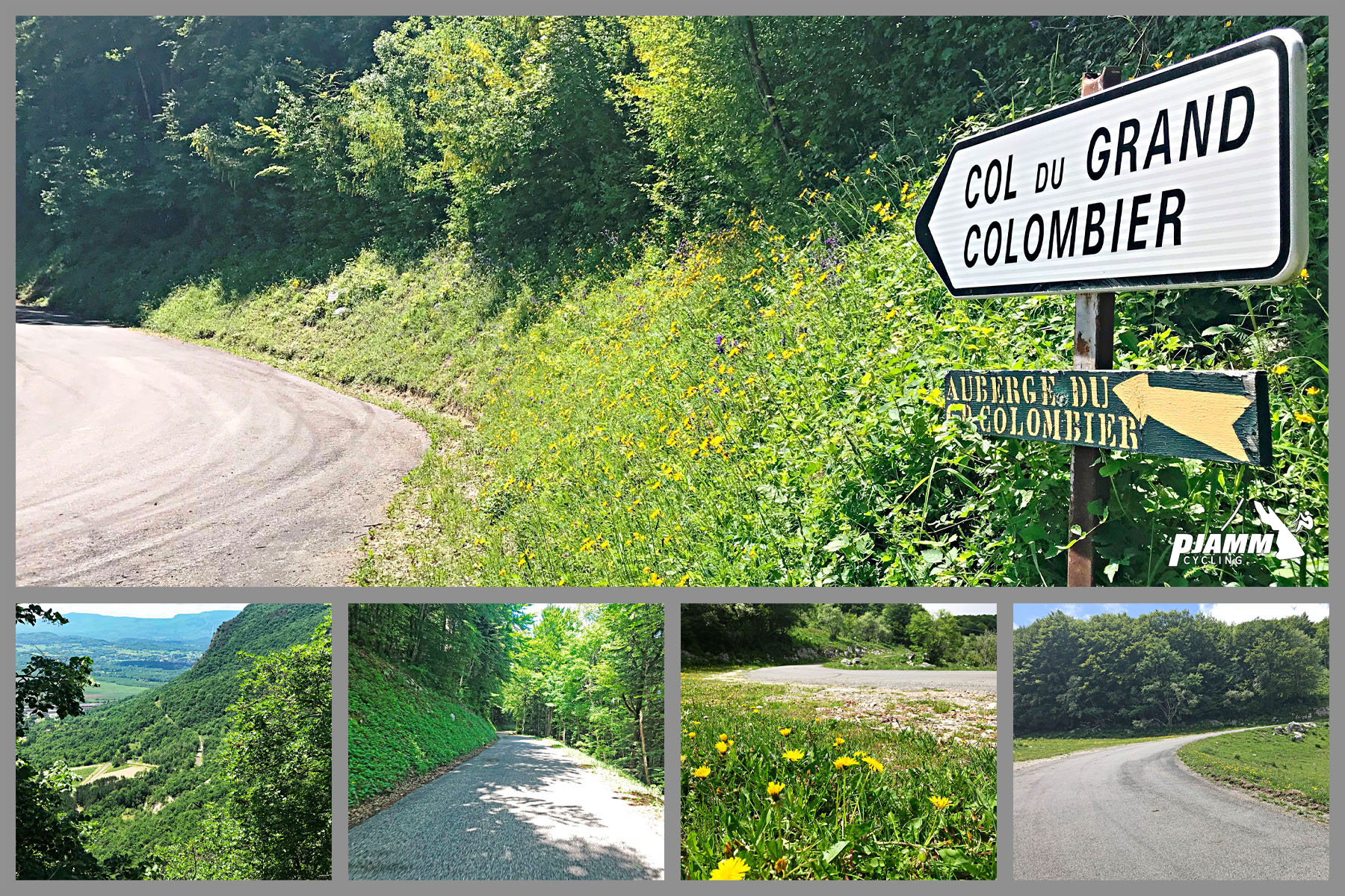
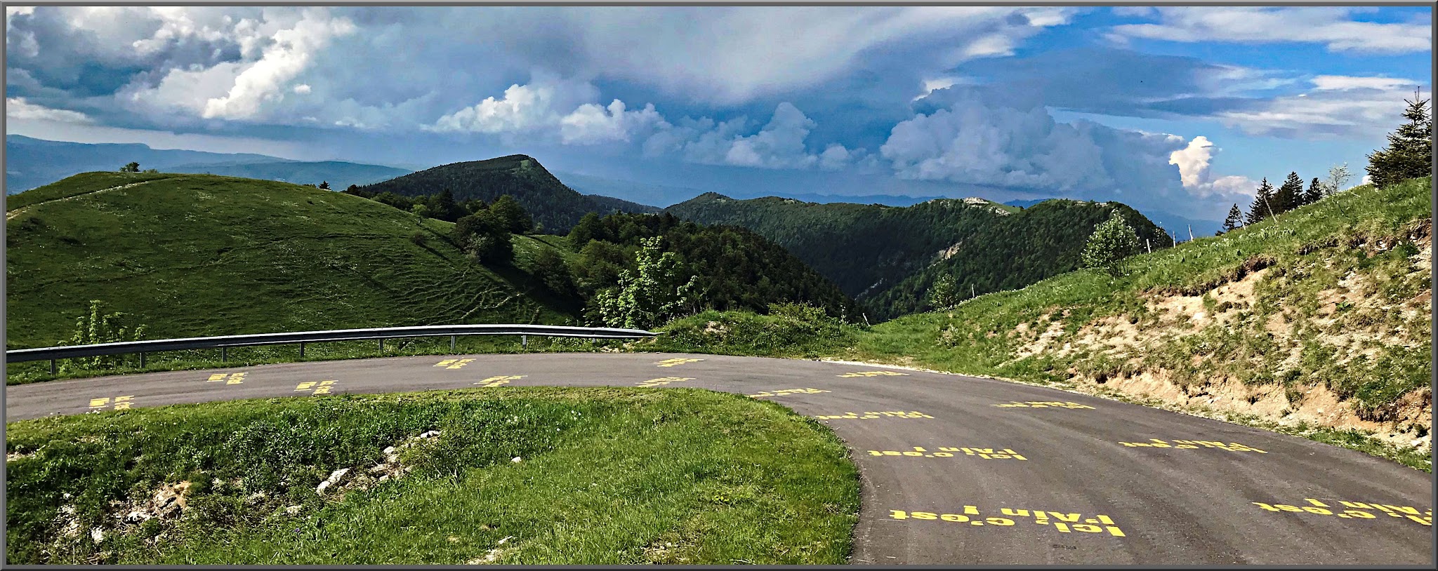
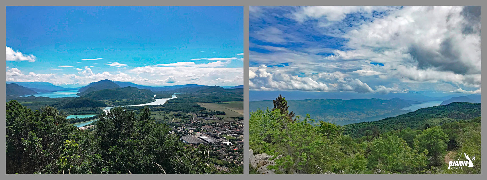
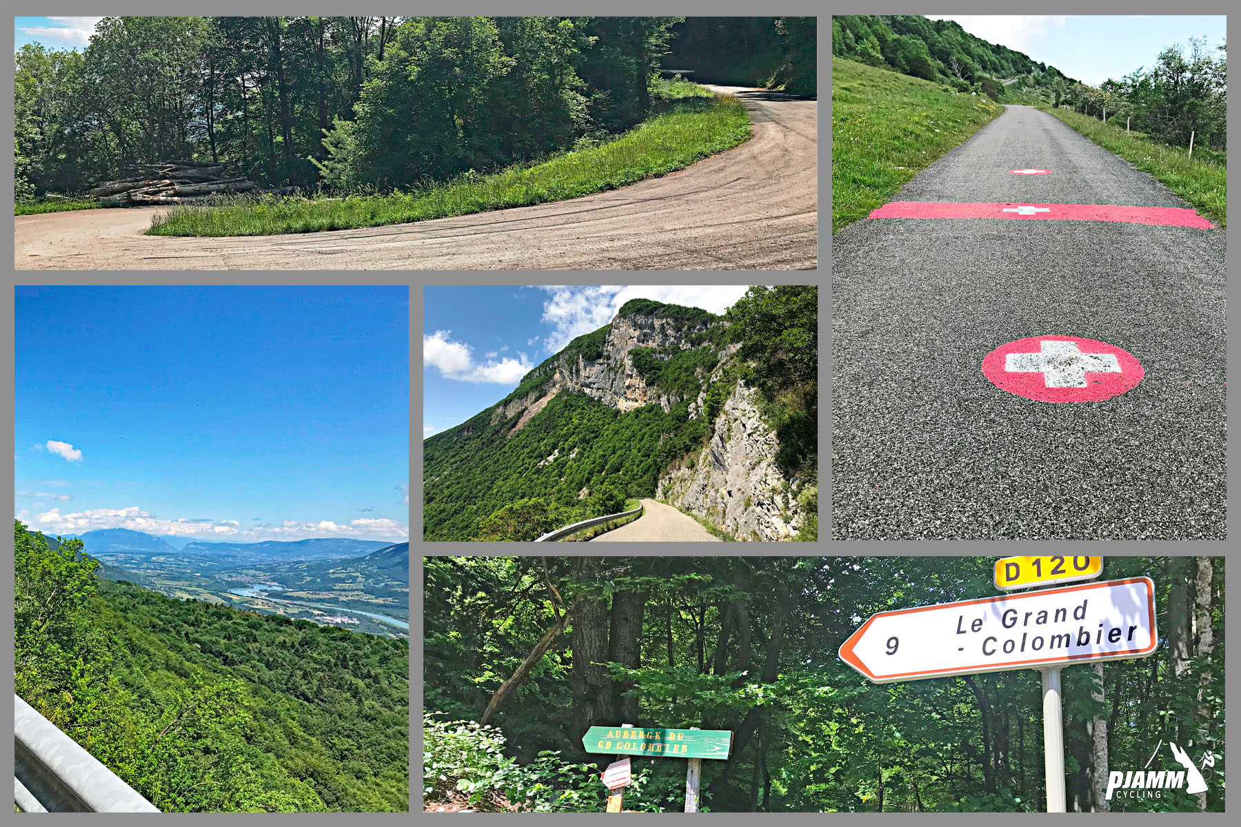
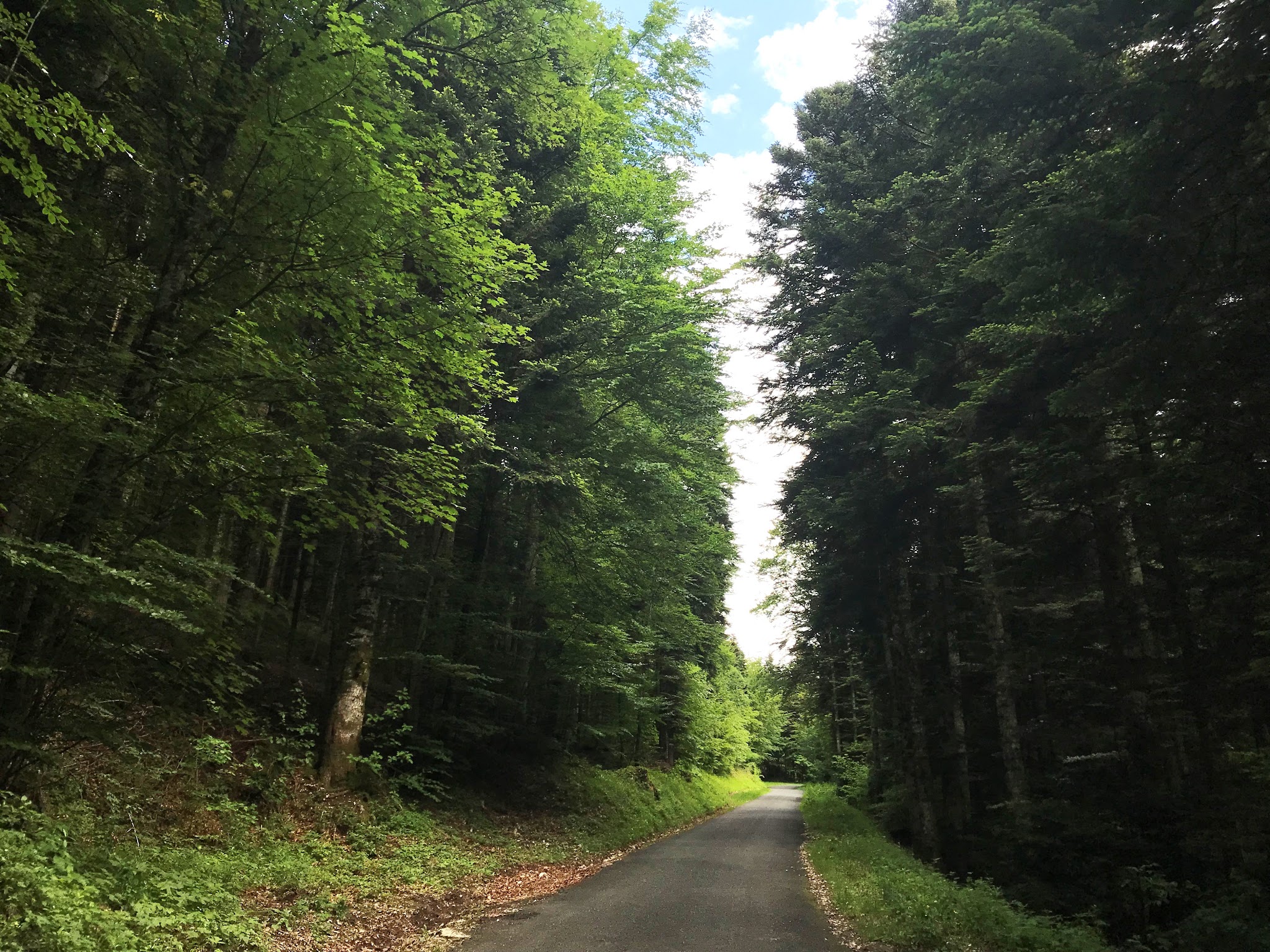
The opening kilometers are the famous lacets du Grand Colombier, a stack of hairpins cut into the slope above the vineyards, with views over Culoz, the Rhône and Lac du Bourget. We climbed all four sides of the mountain in 2018 and found this one the most scenic. Midway up, the road ducks into forest where the views disappear and the grade eases slightly, before joining the Anglefort road for the final 8.8 km (5.5 mi) at around 8% to the open summit ridge.
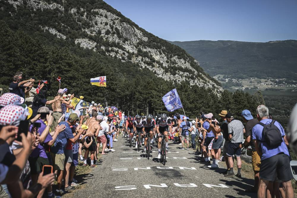
Grand Colombier debuted in the Tour in 2012 and returned in 2016, 2017, 2020 and 2023, and both summit finishes came up this road: Tadej Pogačar won the 2020 stage in a sprint ahead of Primož Roglič, and Michał Kwiatkowski soloed to victory in 2023. The Culoz road was closed for much of summer 2026 after rockfall and reopened on September 3, 2026, following safety work.
PLAN YOUR ROUTE
 We've partnered with Sherpa-Map.com to bring you the best route planning tool. With a PRO Membership you can use this climb as a reference when creating your route.
 From Culoz the climb covers 16.1 km (10.0 mi) and 1149 m (3,769 ft) of gain at an average of 7.1%.
It's irregular and front-loaded: the hairpins above town are steep and hot, the forested middle section relents a little, and the second half is every bit as hard as the first, so save something for the final kilometers to the summit. The steepest kilometer averages 11.2%, the steepest 2 km 10.6%, and the steepest 5 km 9.3%, and one 100 m pitch tops 15%.
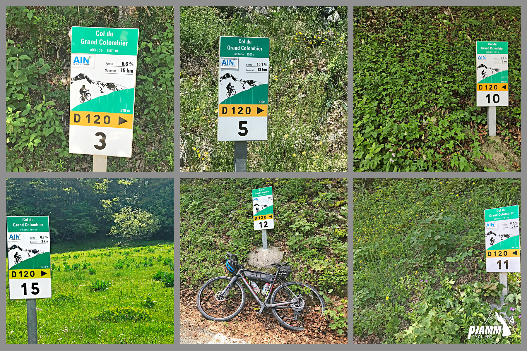
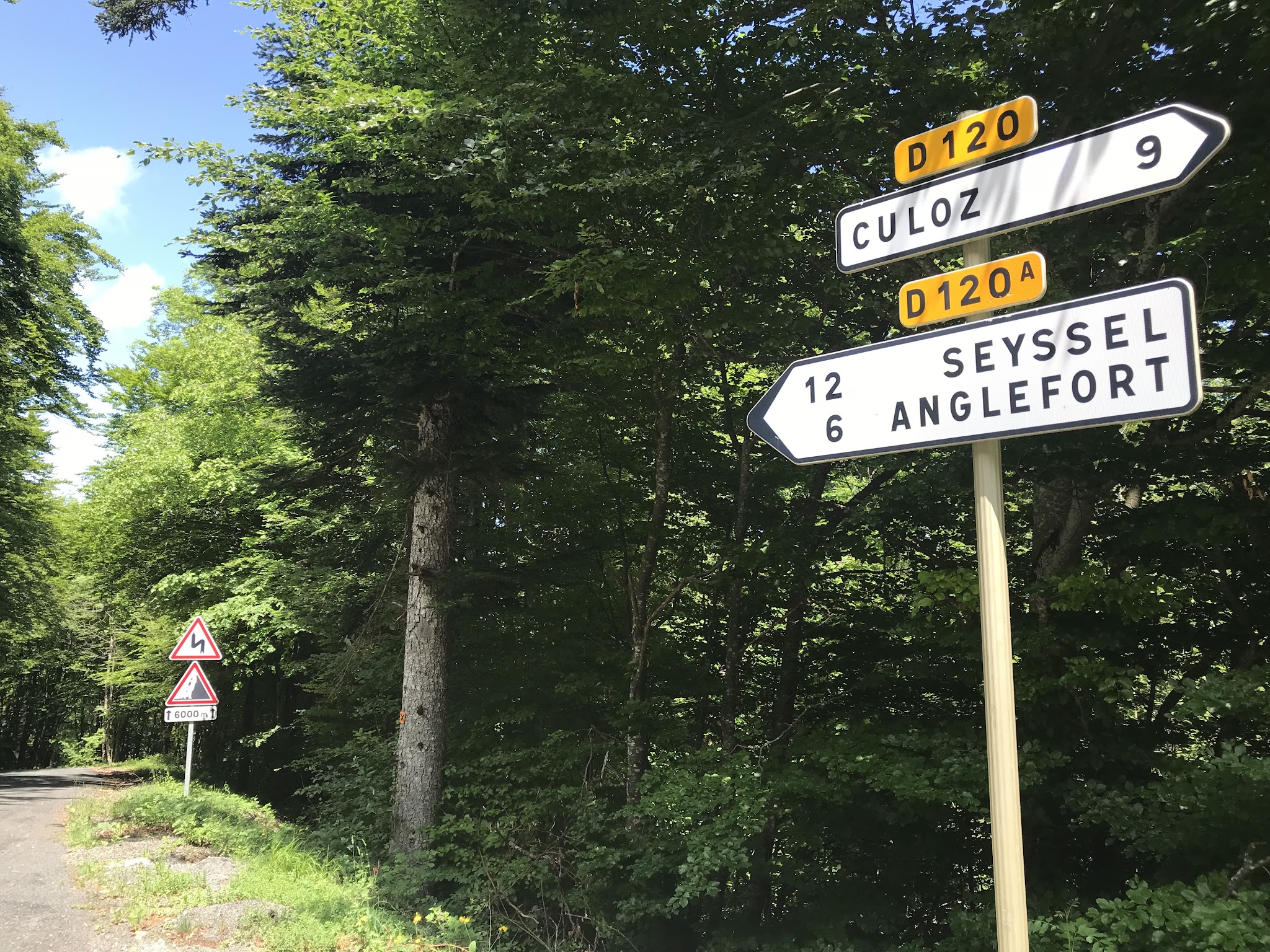
Kilometer markers count you up the mountain, and the last 8.8 km (5.5 mi) are shared with the Anglefort approach.
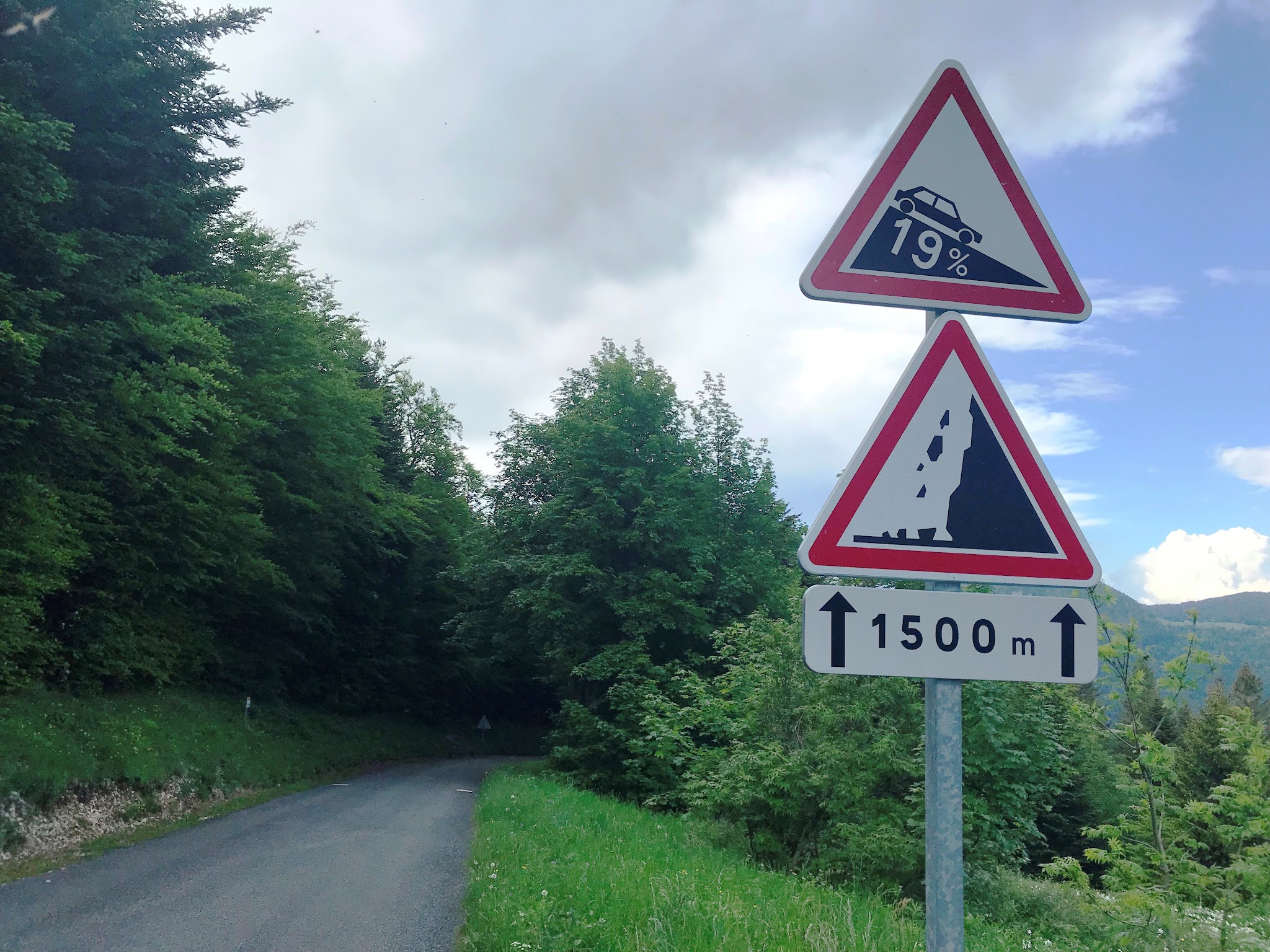
Roadway: The D120 is paved the whole way and in good condition, but it's narrow through the hairpins above Culoz. This side is prone to rockfall: the road was closed for much of summer 2026 while the cliffs were secured, reopening on September 3, 2026. All four Grand Colombier roads close for winter, usually from November to the second half of April, so check the Ain department's road conditions page before you go.
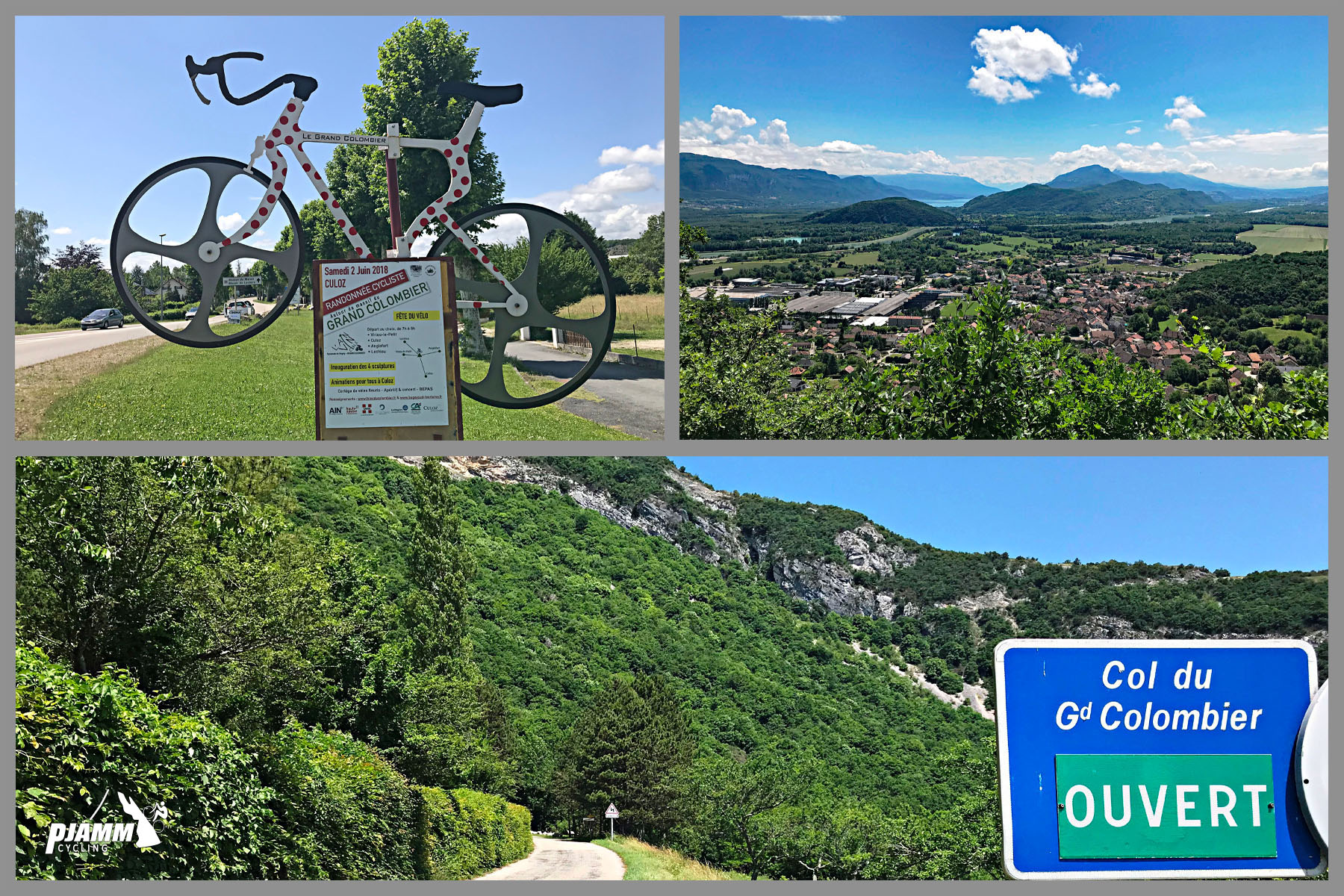
Traffic: This is the most popular of the four sides, so expect steady car, motorcycle and bike traffic on summer weekends. The hairpins are tight enough that the local tourist office steers long camper vans to the Anglefort or Lochieu roads instead. On one Saturday a month from June through September, the Culoz and Anglefort roads are closed to cars from 7:00 to 15:00 for the free Journées Cyclos du Grand Colombier - dates are published by the Bugey Sud tourist office each spring.
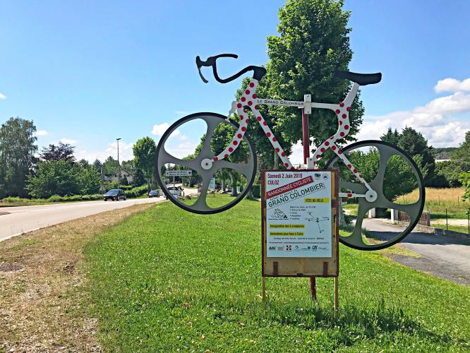
Parking: Culoz has several public lots near the Maison du Vélo, close to the start, and Culoz station is well under 1 km from the bottom of the climb if you're arriving by train. For a flat warm-up, park at the Lac du Lit au Roi port and ride about 12 km (7.5 mi) on the ViaRhôna cycle path to Culoz.
Provisions: Stock up in Culoz, which has water and places to eat including Au Campagnard Autrement and Les Epicurieux. On the climb, the Auberge du Grand Colombier on the upper Culoz-side road is the one proper restaurant on the ascent, and at the top La Pause du Grand Colombier is a seasonal snack bar. There are no toilets or water points at the summit.
Gear: Compact gearing is worth having for the double-digit ramps. The lower hairpins are exposed and can be very hot on summer afternoons, so start early and carry extra water.
Before heading out on any cycling adventure check out our Things to Bring on a Cycling Trip and use our interactive check list to ensure you don't forget anything.
Culoz is the most practical base on the mountain: it has a train station on the Lyon-Geneva line, the Maison du Vélo near the start, and direct access to the ViaRhôna cycle path along the Rhône. Aix-les-Bains is about 30 minutes away by car, Annecy and Geneva about an hour, and Lyon about 90 minutes.
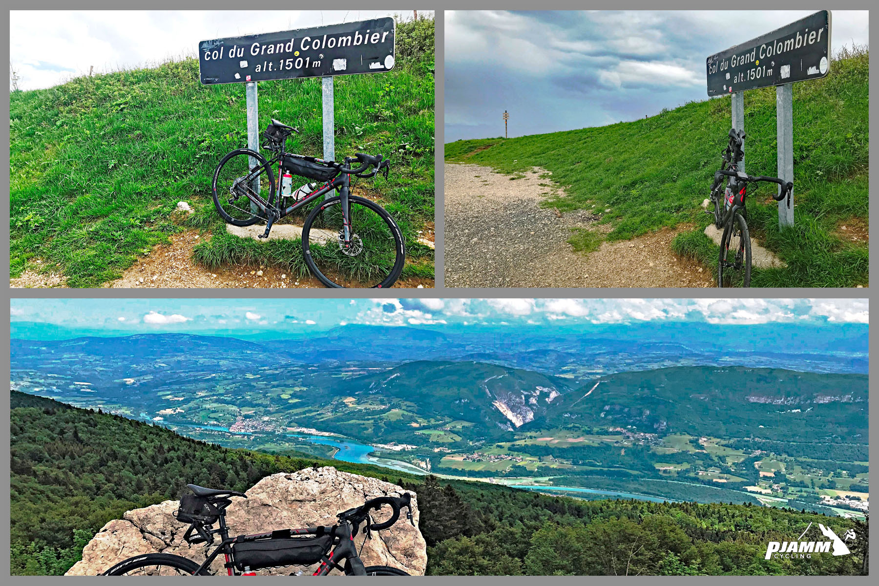
On the way up, the Fenestrez viewpoint and orientation table looks out over the Rhône and Lac du Bourget. At the summit, a 20-minute round-trip walk from the parking area leads to the orientation table at the foot of the Grand Colombier cross, with a 360-degree panorama that reaches Mont Blanc on a clear day.
If one side isn't enough, the local brotherhood Les Fêlés du Grand Colombier recognizes riders who climb two, three or all four sides in a single day - see our Anglefort, Artemare and Lochieu pages. The summit ridge is exposed and often windy, so check current conditions with our Weather tool before you go.
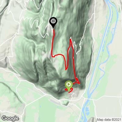
ROUTE MAP
MEMBER RATING
CURRENT WEATHER
PJAMM TRIPS ADVENTURE STARTER BUNDLES
Check out PJAMM Adventure's prepackaged (self-guided) cycling trips. They will help you plan, document and conquer your next adventure.
NEARBY CLIMBS (0) RADIAL PROXIMITY
FROM No Climbs Found
MEMBER REVIEWS & COMMENTS
Let us know what you thought of this climb. Signup for our FREE membership to write a review or post a comment.
Already have an account?
LOG IN HERE
carlinguernsey
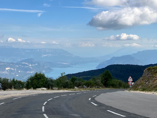
Don’t be fooled by the average gradient. This is a difficult climb! There are some easier segments to allow for recovery, but they are usually surrounded by some double digit ramps (sometimes for an extended period). There are some viewpoints on the way up with fantastic views, and the panoramic views at the top are stunning on a clear day. There is water in Culoz and a kiosk at the top, with no services on the way up.