Col du Galibier (Briancon) Bike Climb - PJAMM Cycling

19.5
PDI
20.8 mi
DISTANCE
4,182 ft
GAINED
3.8 %
AVG. GRADE

FULL CLIMB STATS

Page Contributor(s): Ard Oostra, Montreux, Switzerland.

INTRO

Col du Galibier from Briançon is the long way up a Tour de France legend: 33.4 km (20.8 mi) from the edge of Briançon, up the Guisane valley and over the Col du Lautaret, to the Galibier at 2,642 m (8,668 ft), gaining 1,275 m (4,182 ft) at a 3.8% average. Our route runs from 1,369 m (4,491 ft) to 2,626 m (8,614 ft).

It is really two climbs in one. The first 24.7 km (15.3 mi) to the Col du Lautaret (2,058 m / 6,752 ft) average just 2.8%, a long, busy valley road that tests patience more than legs. Then the final 8.7 km (5.4 mi) average 6.5%, through open alpine terrain below the Meije and the Écrins, with a short kick of about 10% near the top. The tunnel just below the summit is closed to bicycles, so cyclists take the old road over the top.

The Tour de France first crossed the Galibier in 1911, and it remains one of the race's defining climbs. In 2022 it was climbed twice, from Valloire in Stage 11 and from Briançon in Stage 12. It returned in 2024 on Stage 4 from Pinerolo to Valloire, and again on Stage 20 of the 2026 Tour, on 25 July from Le Bourg-d'Oisans to Alpe d'Huez.

PLAN YOUR ROUTE

We've partnered with Sherpa-Map.com to bring you the best route planning tool. With a PRO Membership you can use this climb as a reference when creating your route.
Col du Galibier from Briançon gains 1,275 m (4,182 ft) in 33.4 km (20.8 mi) for a 3.8% average, rising from 1,369 m (4,491 ft) to 2,626 m (8,614 ft).

The valley section is long and gentle: the first 11 km (6.8 mi) average about 1.1%, with a couple of flat kilometers, then the road steepens to 2.4% to 3.0% through kilometer 15. Past kilometer 15 (mile 9.3) the valley road holds a steady 3.9% to 5.0% all the way to the Col du Lautaret at km 24.7 (mile 15.3), where the first 24.7 km average 2.8%.

From the Lautaret the climb to the Galibier is 8.7 km (5.4 mi) at 6.5%, with most kilometers between 5.5% and 7.2% and a final kick near the top - the steepest half-kilometer averages 10.0%. Across the whole route the steepest kilometer averages 9.0%, the steepest 5 km (3.1 mi) 6.7% and the steepest 10 km (6.2 mi) 6.3%.
Roadway: The route follows the D1091 from Briançon through the Serre Chevalier valley to the Col du Lautaret, then the D902 to the Galibier. Riders consistently rate the surface as great. There is a 400 m avalanche tunnel (open on one side) between Briançon and the Lautaret with no real bike lane, and the 370 m Galibier tunnel just below the summit is closed to bicycles, so cyclists take the old road over the top. The pass closes at the first snow, typically between mid and late October, and reopens between mid and late May, so check road status before an early- or late-season ride.

Traffic: The valley road from Briançon to the Lautaret is the main drawback: a busy main road with few bike lanes. Above the Lautaret it quiets down, though July and August bring motorcycles, campervans and plenty of cyclists. Each summer a few mornings are reserved for cyclists from 9:00 to noon; in 2026 these were 29 June (south side only), 16 July and 4 August, and dates are set each year.

Parking: Briançon's central pay car parks, such as Champ de Mars, are the usual choice; check posted rules and hours. The climb starts on the D1091 about 2.3 km (1.4 mi) northwest of the old town, so allow a short roll. Riders who would rather skip the busy valley road can start from Le Monêtier-les-Bains or a Serre Chevalier village such as Saint-Chaffrey, where our Col du Granon page notes a lot at the foot of that climb.
Gear: A compact crankset is plenty for the gradients, but this is a long day at altitude: the summit is at 2,642 m (8,668 ft) and the descent is cold even in July, so pack a wind jacket, gloves and arm warmers. Bring lights for the avalanche tunnel on the valley road.

Provisions: Fill up in Briançon or the Serre Chevalier villages, whose bakeries and cafés line the valley road. Services on the upper road are limited: the Chalet du Galibier stands beside the Henri Desgrange memorial, but hours vary, so bring enough water for the final 8.7 km (5.4 mi).
Before heading out on any cycling adventure check out our Things to Bring on a Cycling Trip and use our interactive check list to ensure you don't forget anything.
Our Col d'Izoard and Col du Granon pages cover Briançon itself, its Vauban fortifications and the Serre Chevalier bases, so here the focus is the road between the town and the pass. The Col du Lautaret (2,058 m / 6,752 ft) marks the place to regroup. The Jardin du Lautaret, founded in 1899 and run as a research station by the CNRS and Université Grenoble Alpes, sits at 2,100 m (6,890 ft) with about 2,000 mountain plant species and a view of the Meije glacier; in 2026 it was open daily from 6 June to 6 September, 10:00 to 18:00.

Higher up, the memorial to Henri Desgrange, creator of the Tour de France, stands at the south portal of the Galibier tunnel; it was inaugurated on 19 July 1949, and a wreath is laid there whenever the Tour crosses the pass. The Souvenir Henri Desgrange goes to the first rider over the highest summit of each Tour. The Galibier is also a stage of the Route des Grandes Alpes, and the Défi du Galibier hill-climb race has run every August since 2013.

With a summit above 2,600 m, check current conditions before you go with our Weather tool.

ROUTE MAP

MEMBER RATING

Not Yet Rated
-
Road
-
Traffic
-
Scenery

CURRENT WEATHER

PJAMM TRIPS ADVENTURE STARTER BUNDLES

Check out PJAMM Adventure's prepackaged (self-guided) cycling trips. They will help you plan, document and conquer your next adventure.
ALL TRIPS
Browse all of our prepackaged trips and find your next adventure!

NEARBY CLIMBS (0) RADIAL PROXIMITY

FROM
No Climbs Found

MEMBER REVIEWS & COMMENTS

Let us know what you thought of this climb. Signup for our FREE membership to write a review or post a comment.
Already have an account?
ROUTE MAP
PROFILE TOOL
Route Data
S.G. (%)
hide
Segment Data
hide
CLIMB SUMMARY

Col du Galibier from Briancon

Ride 33.4 kilometers gaining 1282 meters at 3.8% average grade.

This is one of three common routes to Col du Galibier:  

  • From Valloire (most popular:  climbed 132,214 times by 82,738 Strava members as of 9-14-23);
  • From Villar-D’arene (26,591 attempts by 19,623 Strava members); and
  • From Briancon (26,000 attempts by 16,598 Strava members).

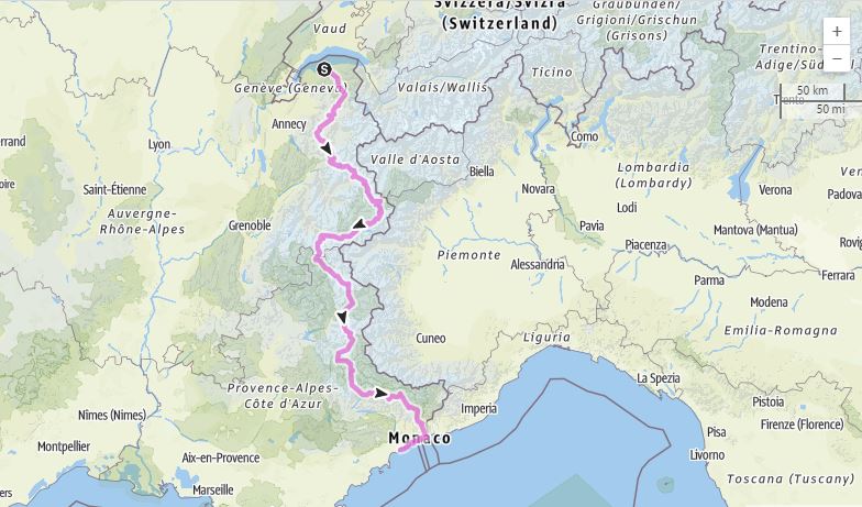
Col du Galibier is part of the Route des Grandes Alpes, a tourist itinerary that begins in Thonon-les-Bains and travels over many of the most spectacular passes in France and Europe, including Col de L’Iseran, Galibier, d’Izoard, and Bonette; (alternate route includes Croix de Fer and Madeleine).  The route connects Lake Geneva to the Mediterranean Sea.

Cycling Cime Bonette from Jausiers, France - Route des Grands Alpes map

Route des Grandes Alpes.

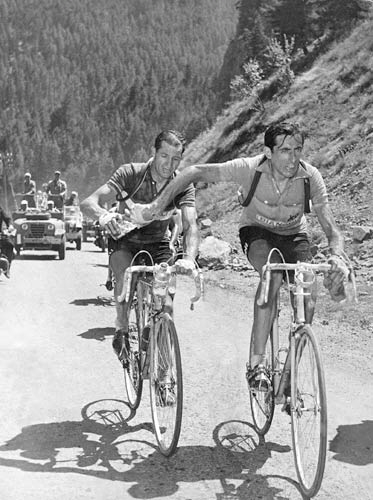
Bartali handing Coppi a water bottle on the Galibier in the 1952 TdF . . . or

Coppi sending it back to Bartali - the debate rages . . .  

Photo:  iconicphotos.com

Haute Route quotes Henri Desgrange in his praise of this climb:

The Galibier became a legend at the very first time it was used by the Tour de France, in 1911. This is how Henri Desgrange, creator of the Tour de France, introduced it to his readers: “Oh ! Sappey ! Oh ! Laffrey ! Oh ! Col Bayard ! Oh ! Tourmalet ! I will not fail in my duty in proclaiming that next to the Galibier you are as weak as dishwater: before this giant there’s nothing one can do but doff one’s hat and bow down low.” - Henri Desgrange (translation Marvin Faure).  Hauteroute.org - Col du Galibier

When first crossed in 1911 by the Tour de France, no tour rider had ever ridden higher.  

The route from Briancon to Col du Galibier is really a combination of 2 climbs:  Briancon to Col du Lautaret and Col du Lautaret to Col du Galibier.

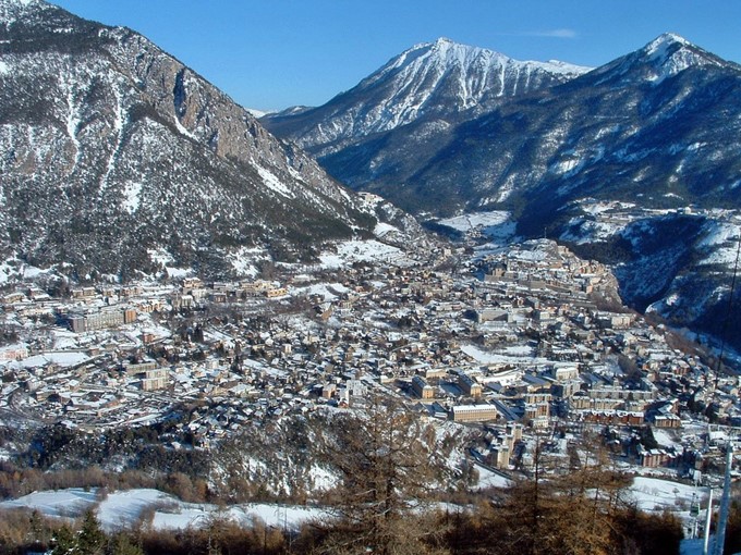
Ski resort town of Briancon

The climb begins in Briancon which is a PJAMM World Top Cycling Climbing area.

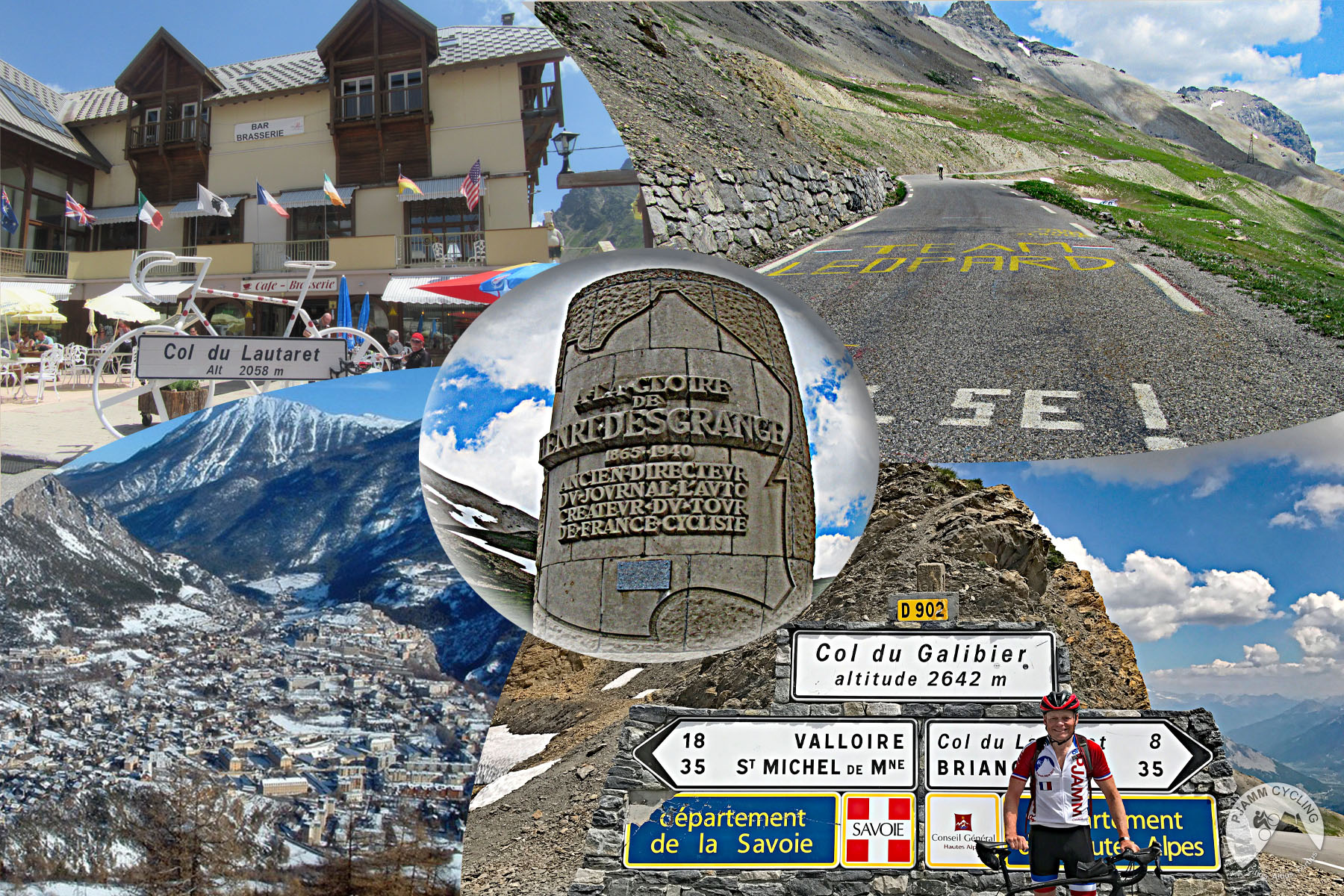
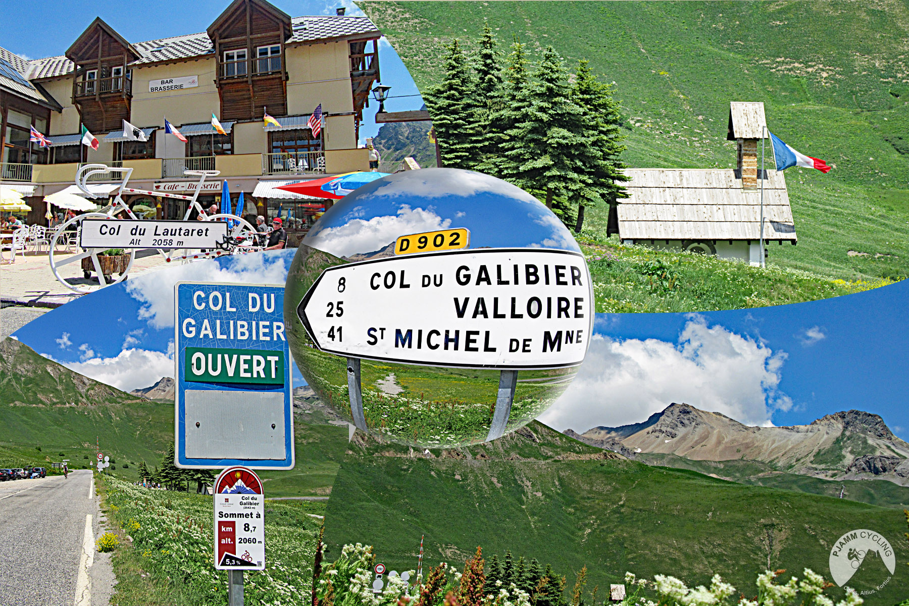
Photos:  In and around Col du Lautaret

Briancon to Lautaret:  24.7 kilometers gaining 718 meters at 2.8% average grade.

There is one 400 meter avalanche tunnel between Briancon and Col du Lautaret, but it is open on one side and does not create a hazard for cyclists, although there is no significant bike lane through it.

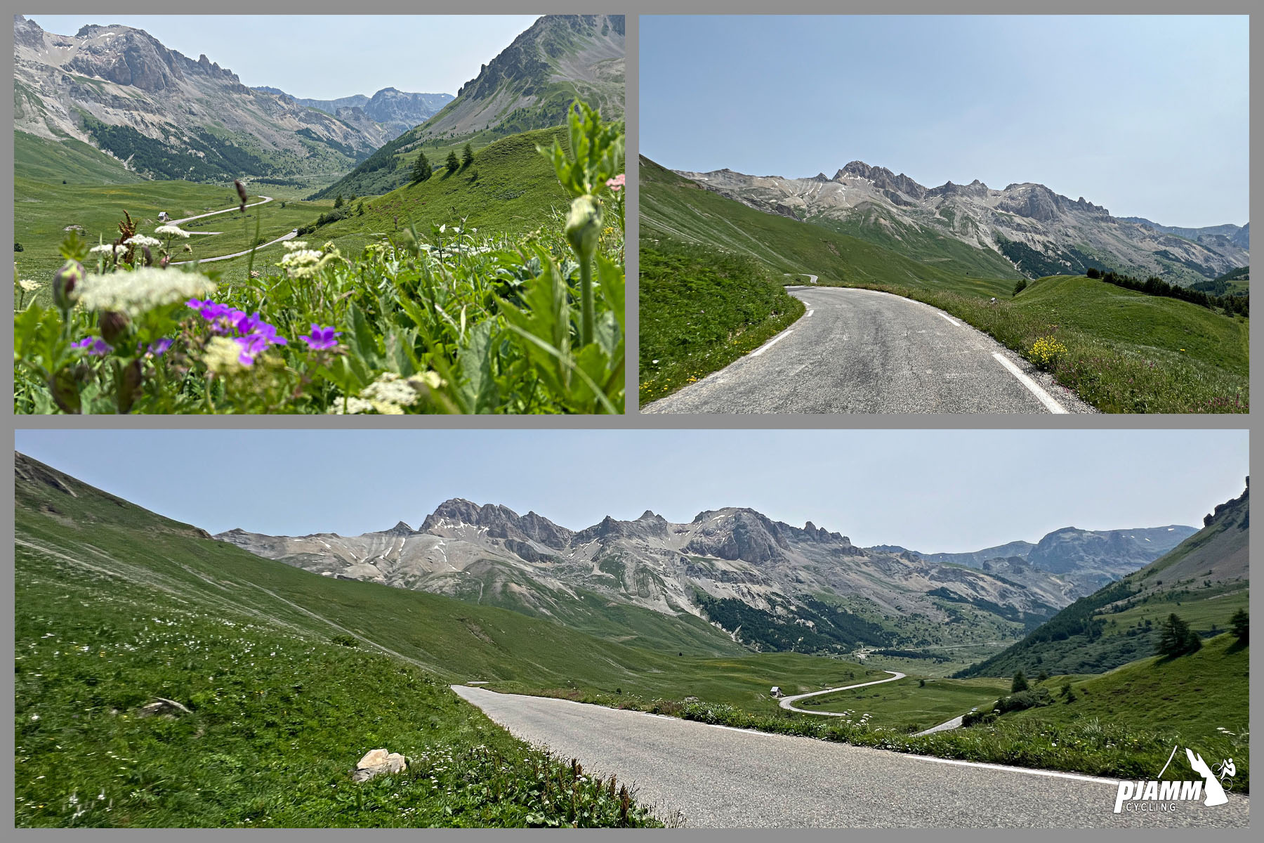
Of the ride between Col du Lautaret and Col du Galibier

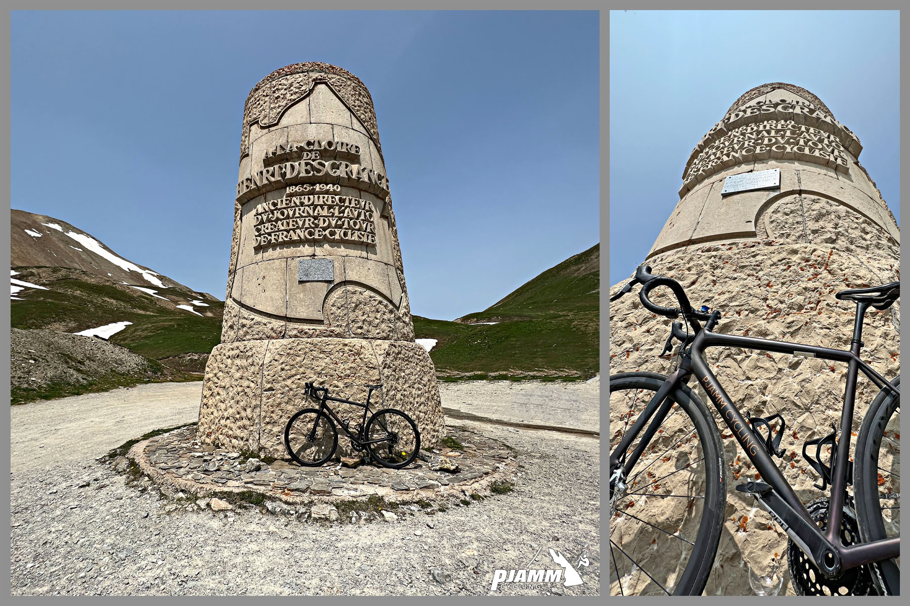
The monument in honor and to the memory of Henri Desgrange is 1 km from the top.

The bubble is PJAMM experimenting with 3D photography.

Adjacent the Desgrange memorial is Chalet du Galibier Refuge

4.5 Google rating

Henri Desgrange and Géo Lefèvre created the Tour de France in 1903 and Desgrange was tour director from the beginning until WWII prevented the tour from occurring in 1940.  Desgrange died in 1940 and was succeeded by Jacque Goddet as director (1947 to 1986 - co-director with Felix Levitan from 1962 to 1986).   The memorial was inaugurated when the tour passed on 19 July 1949. Whenever the tour crosses the Col du Galibier, a wreath is laid on the memorial. The "Souvenir Henri Desgrange" is awarded to the first rider across the summit of the highest mountain in each year's tour.   Wikipedia 

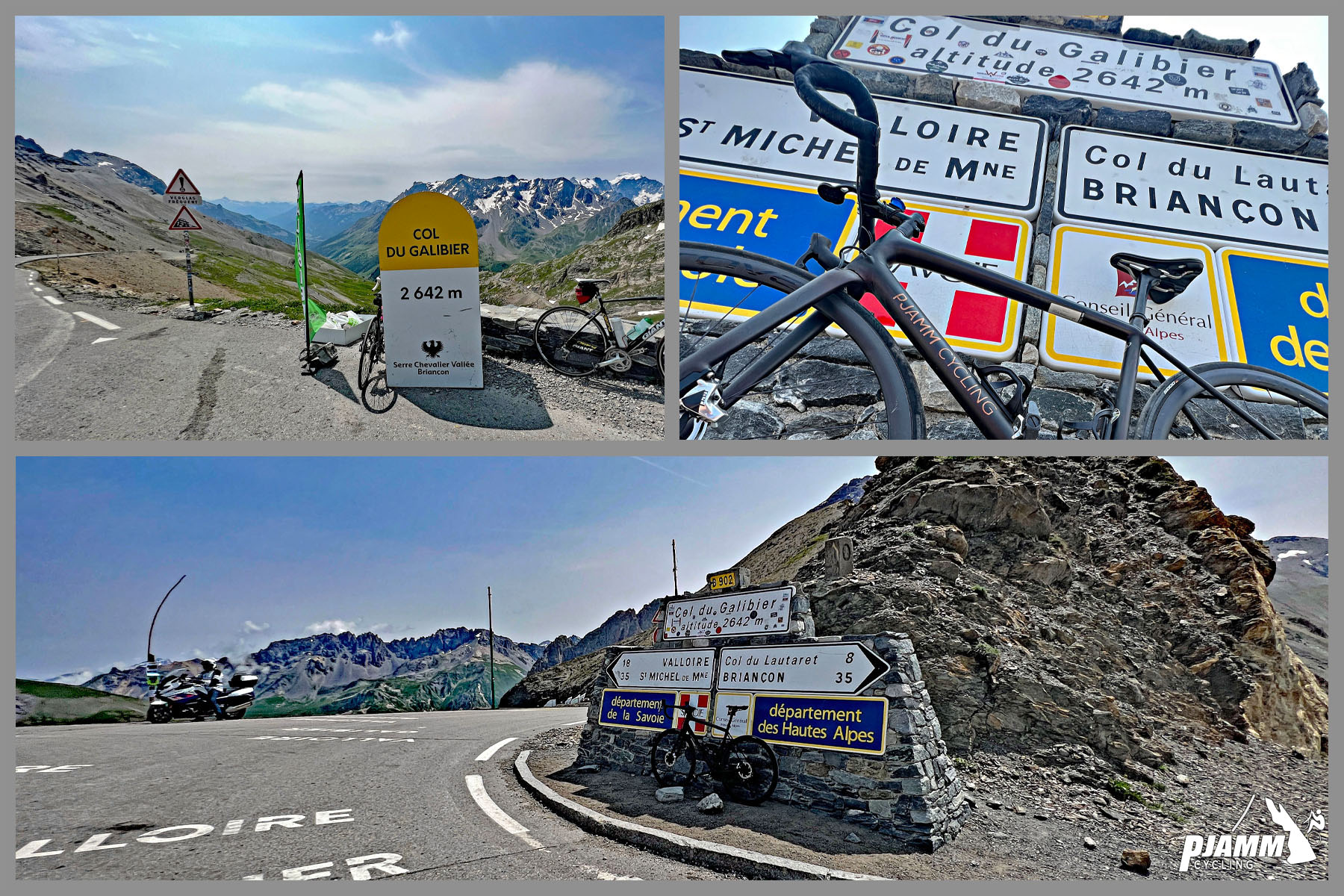
Cycling Col du Galibier from Valloire: photo collage shows road signs, kilometer marker signs, and views at climb's finish

Col du Galibier

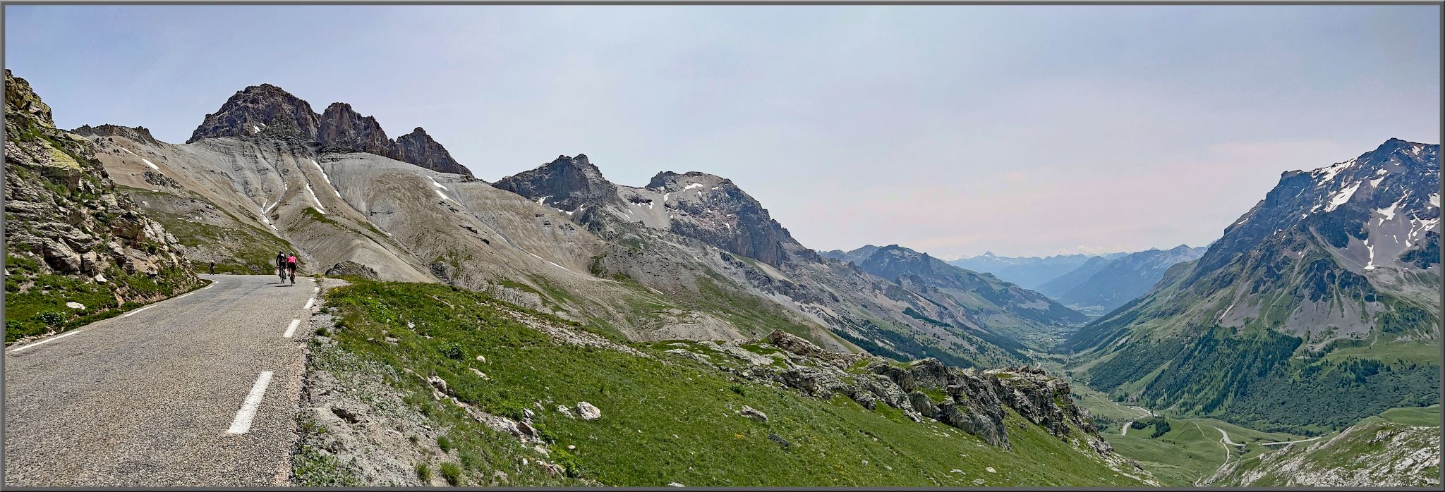
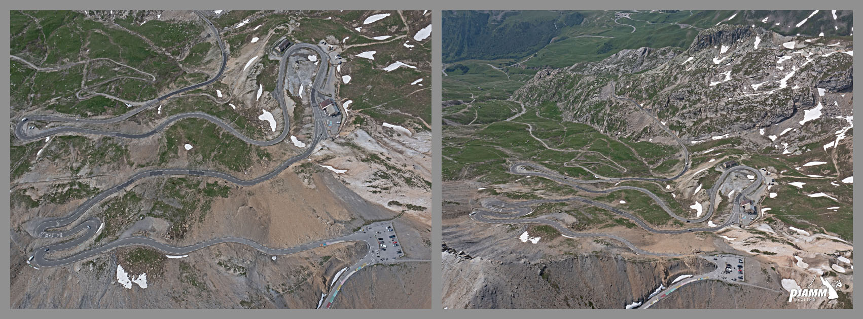
Aerial view south of the final approach to Col du Galibier from Lauterets and Briancon.

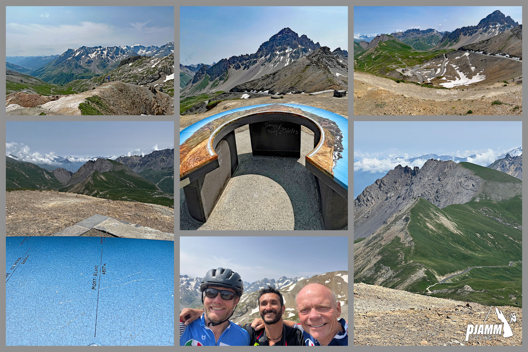
Cycling Col du Galibier from Valloire: photo collage shows lookout point and vista views just passed climb finish

Hike about 50 meters up the mountain from the Col parking lot for spectacular views.

TOUR DE FRANCE

Cycling Col du Telegraphe and Col du Galibier - John Johnson and PJAMM with bike at Col du Telegraphe.

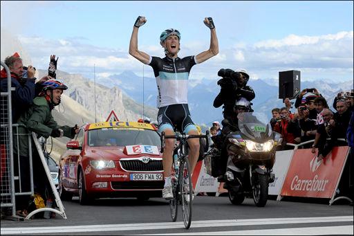
Andy Schleck Stage 18 2011 Tour de France

Col du Galibier - highest mountain top finish ever

Photo:  roadbikereview.com

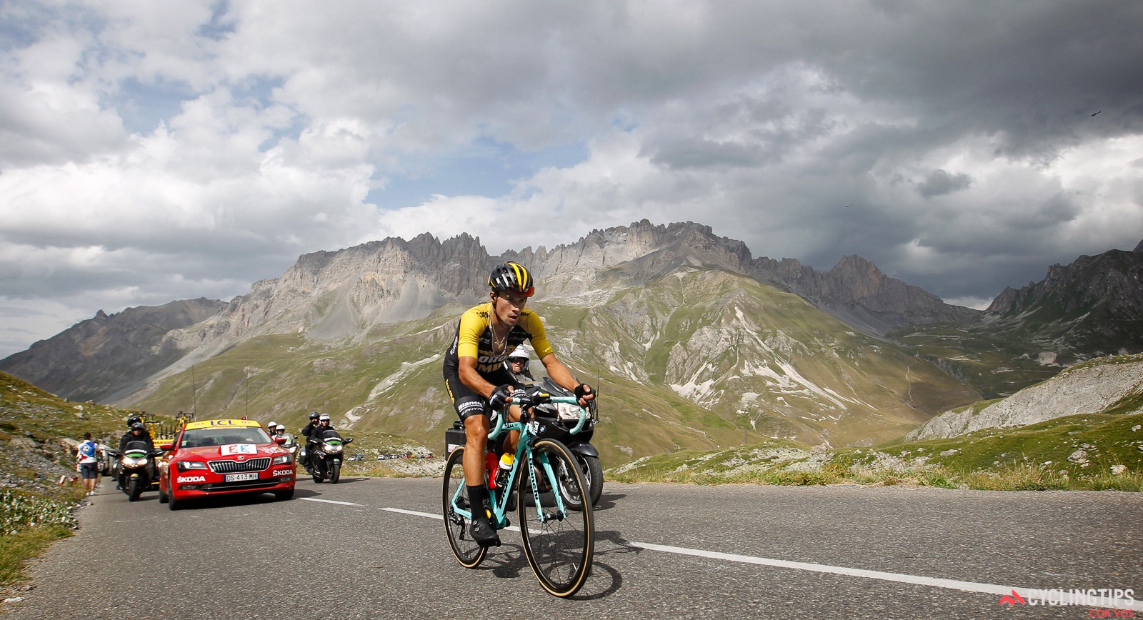
Col du Galibier has been featured in the Tour de France 35 times since its first post WWII appearance in 1947 which was the first TdF since 1940 due to WWII.  Most recently (as of 2020) Galibier was featured in The Tour in 2019 (Nairo Quintana won the stage from Embrun to Valloire).  In 2017 debutante Primoz Roglic became the first Slovenian to win a TdF stage when he came out on top in Stage 17 from La Mure to Serre-Chevalier. .  

Cycling Col du Telegraphe and Col du Galibier - John Johnson and PJAMM with bike at Col du Telegraphe.

Primoz Roglic - Stage 17 Tour de France

First Slovenian to win a TdF stage.

Photo:  Cyclingtips.com

Of Galibier and the Tour de France, Wikipedia writes:

The Col du Galibier was first used in the Tour de France in 1911; the first rider over the summit was Emile Georget, who, with Paul Duboc and Gustave Garrigou were the only riders not to walk.

Emile Georget, Col du Galibier, 1911

Photo:  https://dopagedemondenard.com/tag/emile-georget/ 


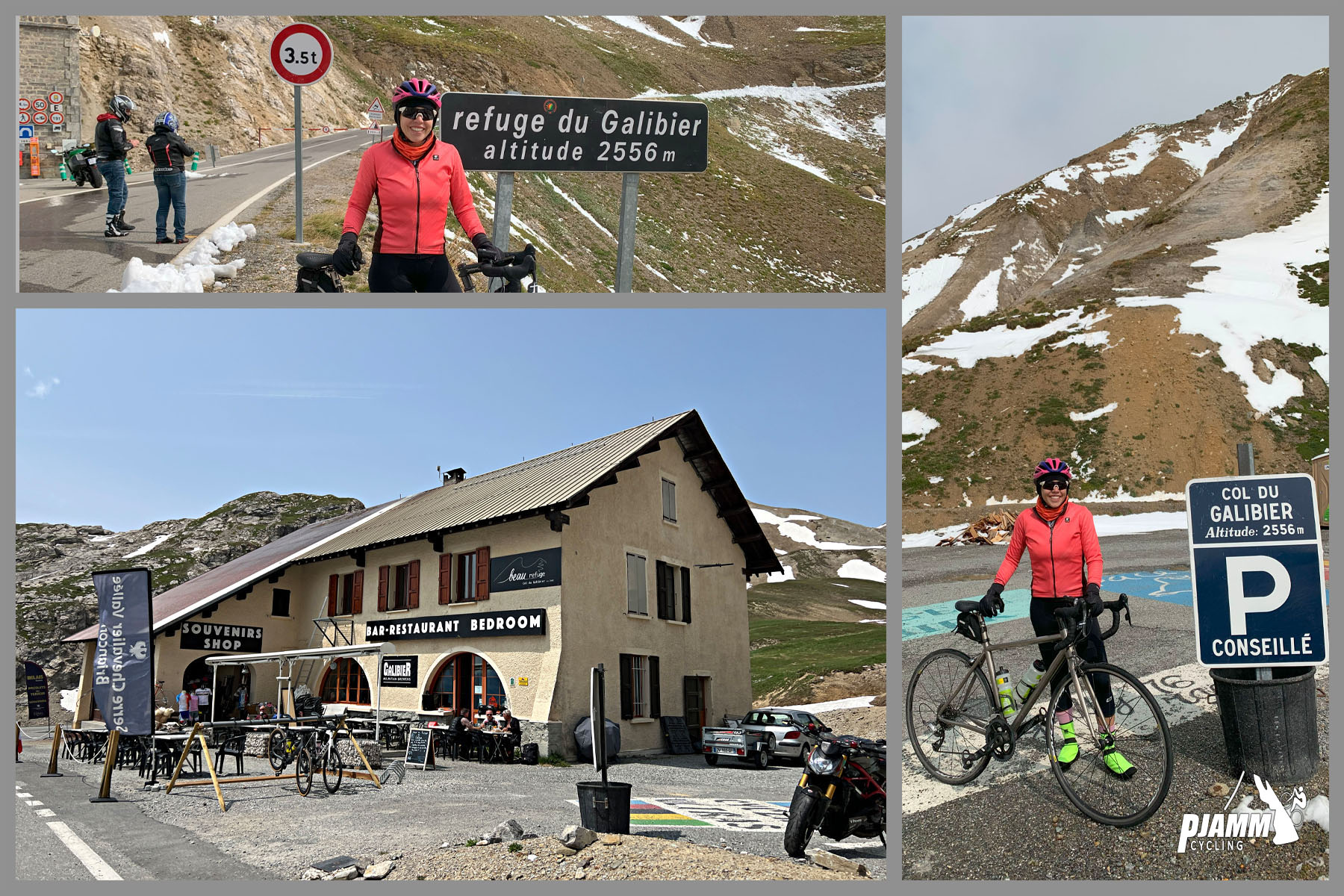
The original summit was at 2556 m.; while the tunnel was closed from 1976 until 2002, the tour route went only over the pass closer to the mountain peak at 2645 m. In 2011, the Tour de France went through the tunnel for the first time during the 19th stage from Modane Valfréjus to L'Alpe d'Huez.

Since 1947, the Col de Galibier has been crossed 31 times by the Tour de France. It was scheduled to be used in 1996, but was left out at the last minute due to bad weather. As a result of snow on both the Col de l'Iseran and the Col du Galibier, the scheduled 190 km stage from Val-d'Isère to Sestriere in Italy was reduced to a 46 km sprint from Le-Monetier-les-Bains which was claimed by Bjarne Riis, resulting in him taking the yellow jersey which he retained to the finish in Paris.

In the 2008 Tour, the Col du Galibier had been crossed on 23 July in the 210 km stage 17 from Embrun to Alpe d'Huez.

The 2011 Tour climbed the Col du Galibier twice to celebrate the 100th anniversary of the first appearance of the pass in the Tour de France, including the first ever summit finish, won by Andy Schleck after a 60 km solo breakaway. This was the highest ever stage finish in the Tour de France. It was scheduled to be used again in stage 20 of the 2015 Tour, but was left out nine days before the race start due to landslides in the Chambon Tunnel, situated towards the bottom of the descent of the climb.”