28
PDI
14 mi
DISTANCE
4,348 ft
GAINED
5.9 %
AVG. GRADE
FULL CLIMB STATS
Page Contributor(s): Ron Cushing, Cedar City, Utah, USA
INTRO
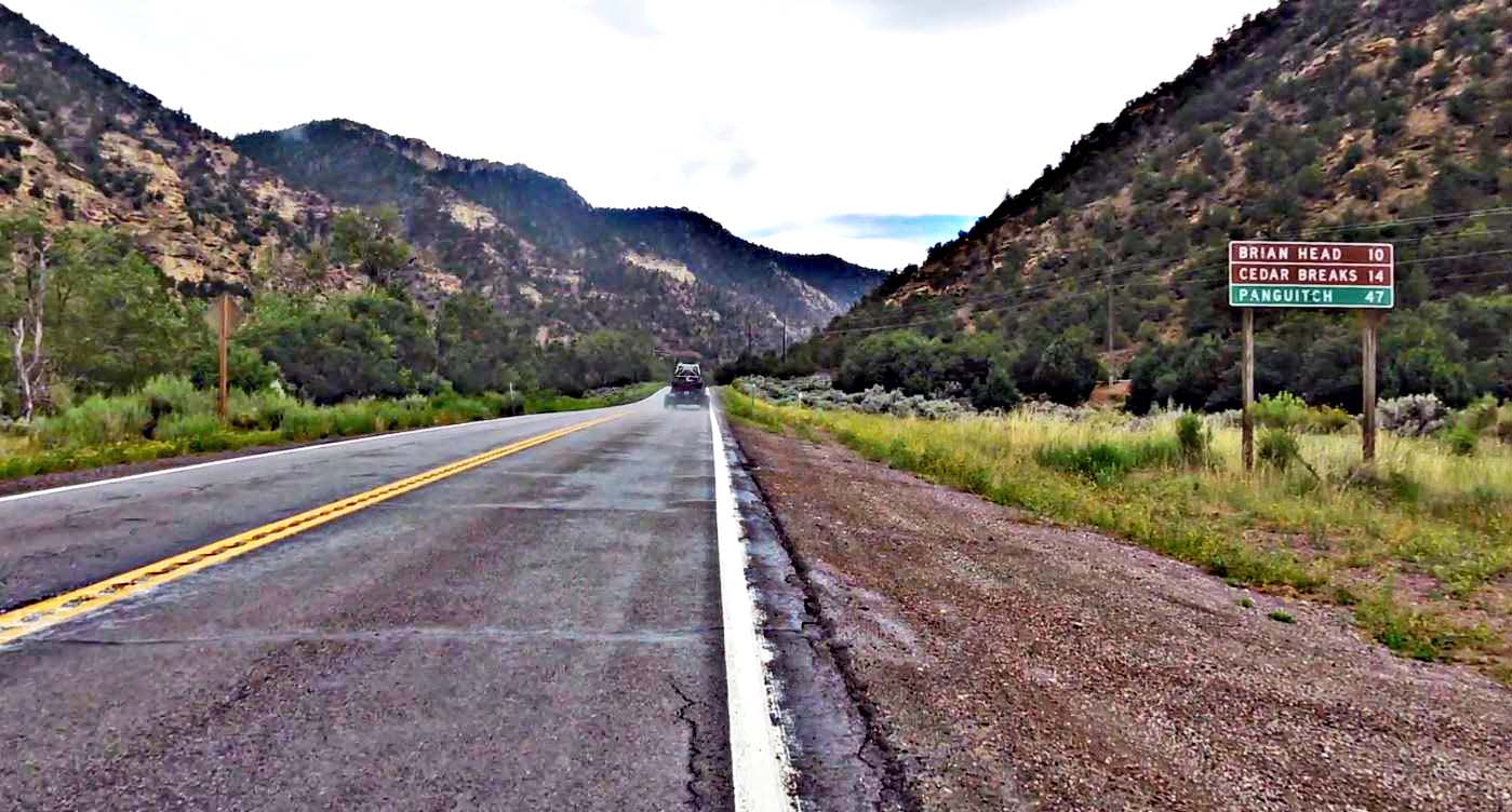
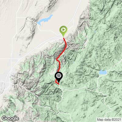
Highway 143 climbs 14.0 miles (22.5 km) and 4,348 feet (1,325 m) from Parowan, Utah, to the Brian Head ski area, rising from 6,080 feet (1,853 m) to 10,417 feet (3,175 m) at a 5.9% average. It starts just east of Interstate 15 in the fairly remote southwest corner of the state and follows the Patchwork Parkway, Utah's Scenic Byway 143.
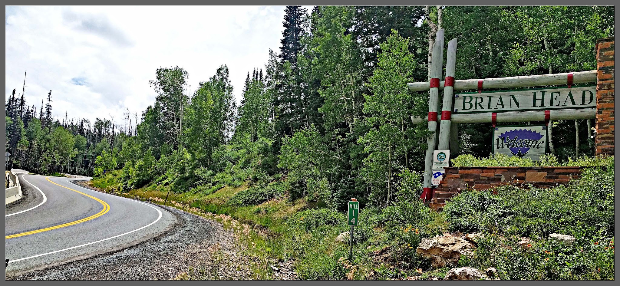
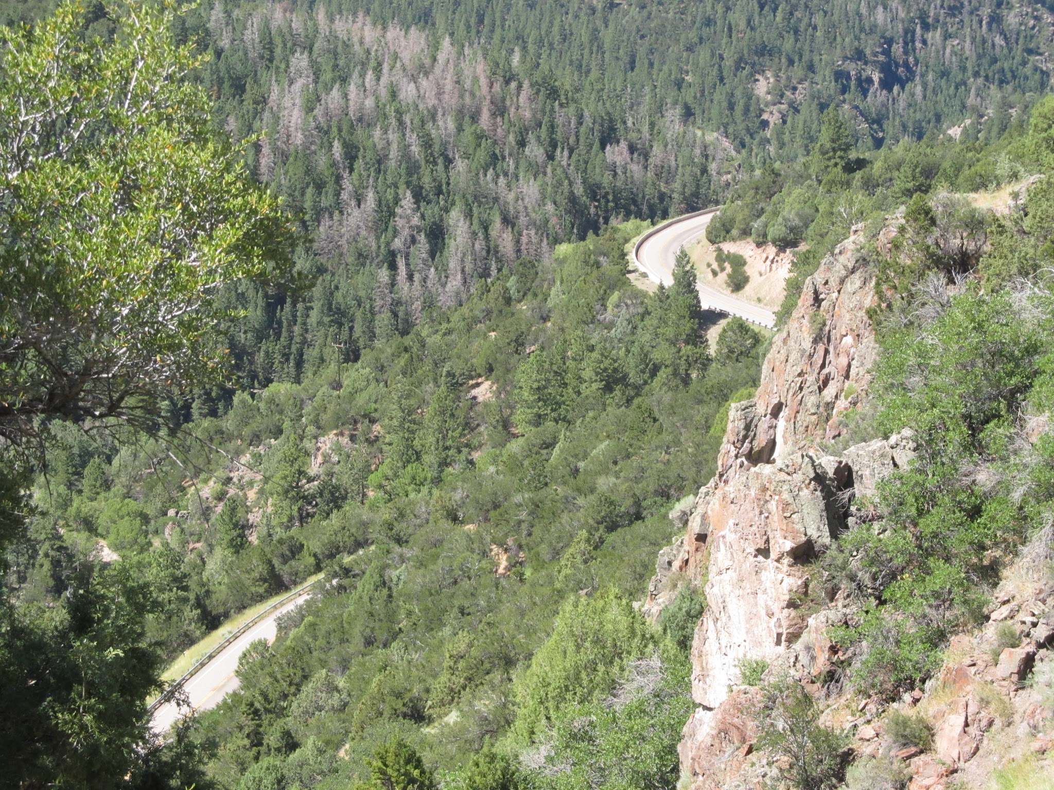
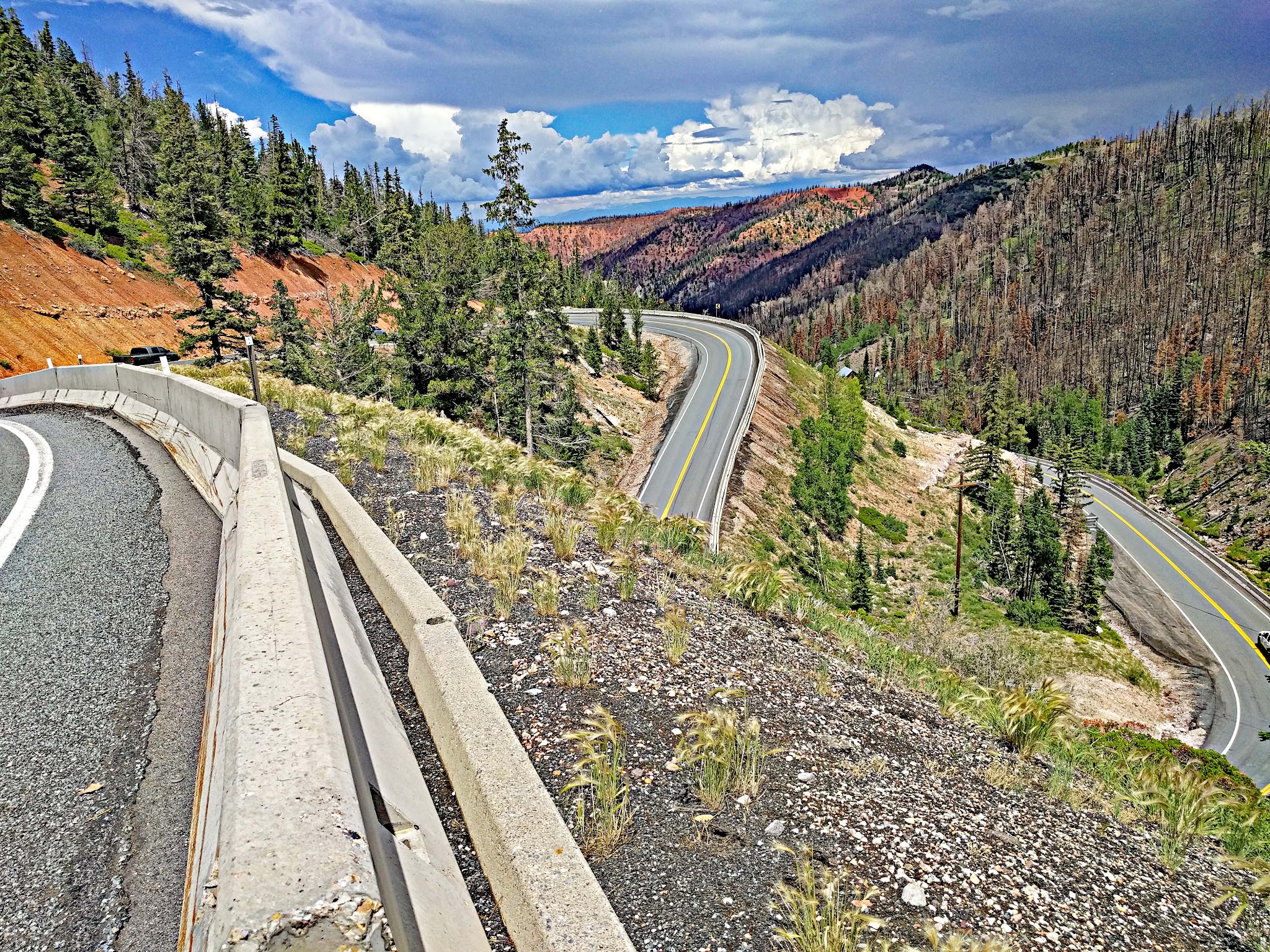
The first nine miles are a long, gradual climb up forested Parowan Canyon, past the red Vermilion Cliffs, before a steep section of tight hairpins around mile 10 breaks the rhythm. At mile 11 you enter Brian Head, at 9,771 feet the highest town in Utah, and the final three miles run through more open country close to treeline to the signed summit.
"The north side of Route 143 is a solid hill and a contender for the most difficult ascent in southern Utah. A shallow start from Parowan, the first nine miles are along a slowly increasing grade and with fairly straight routing within a scenic canyon. A steep section through tight hairpin turns then breaks up the rhythm of the ascent as it abruptly carries you further up the mountain. On top of the S curve the grade then eases but not by much and at mile 11 you pass through the small town of Brian Head, UT over continued stout grade. Leaving the town the grade increases again before easing just before the signed and scenic summit within an alpine setting above 10,000 feet." (This quote is presented with the approval of John Summerson, from his book, 50 Climbs (by Bike) in Utah, pg. 142.)
PLAN YOUR ROUTE
 We've partnered with Sherpa-Map.com to bring you the best route planning tool. With a PRO Membership you can use this climb as a reference when creating your route.
 The 5.9% average grade to more than 10,000 feet, where the air holds about 30% less oxygen than at sea level, is what makes this a serious climb. About 42.4% of the route (5.9 miles) is at 0-5%, 44.6% (6.2 miles) is at 5-10%, 10.8% (1.5 miles) is at 10-15%, and 0.1 mile is at 15-20%.
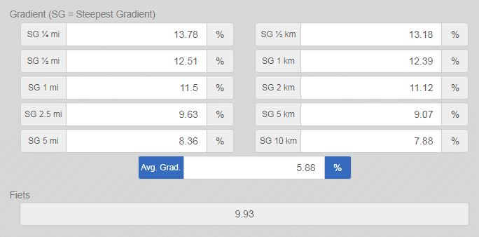
The steepest quarter-mile averages 13.5%, the steepest mile 11.6% and the steepest 5 miles 8.3%. The hard work is concentrated in the switchbacks at mile 10 and the stretch just below Brian Head, so hold something back for the last five miles.
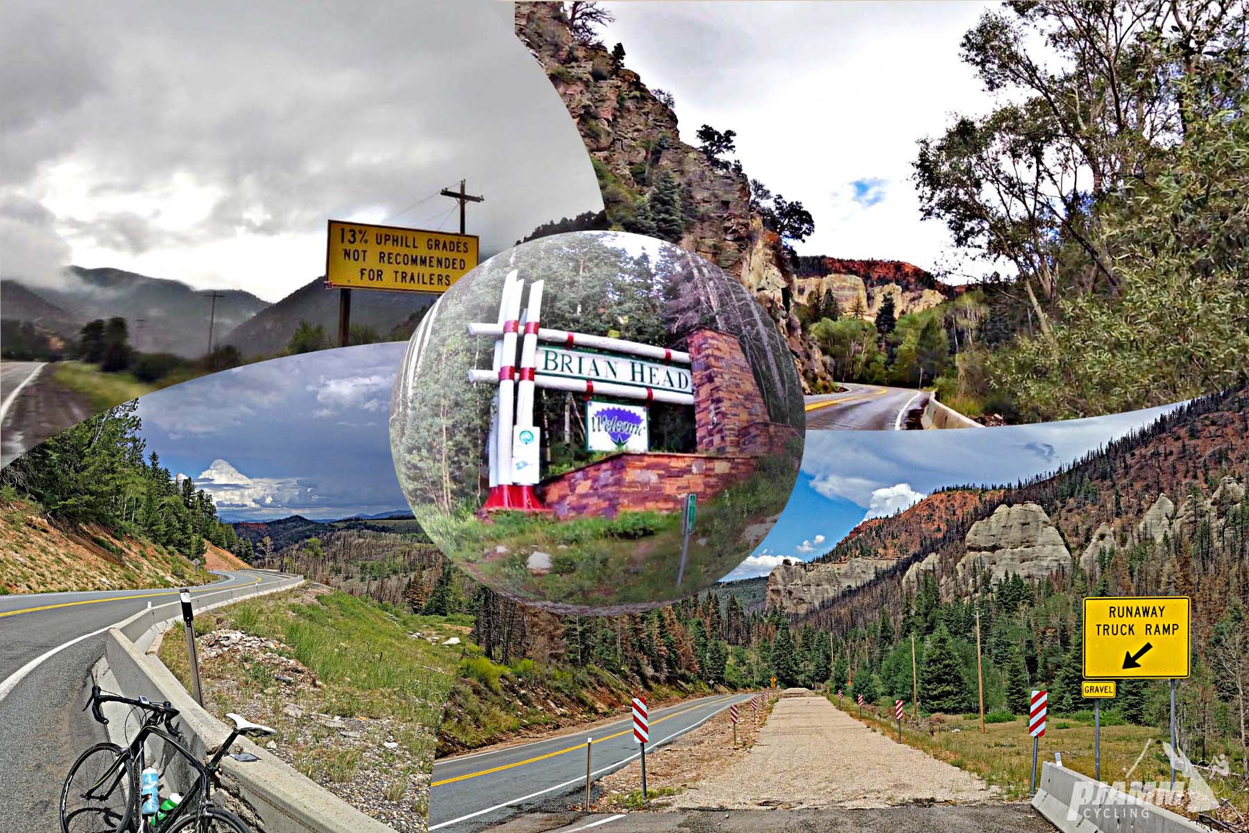
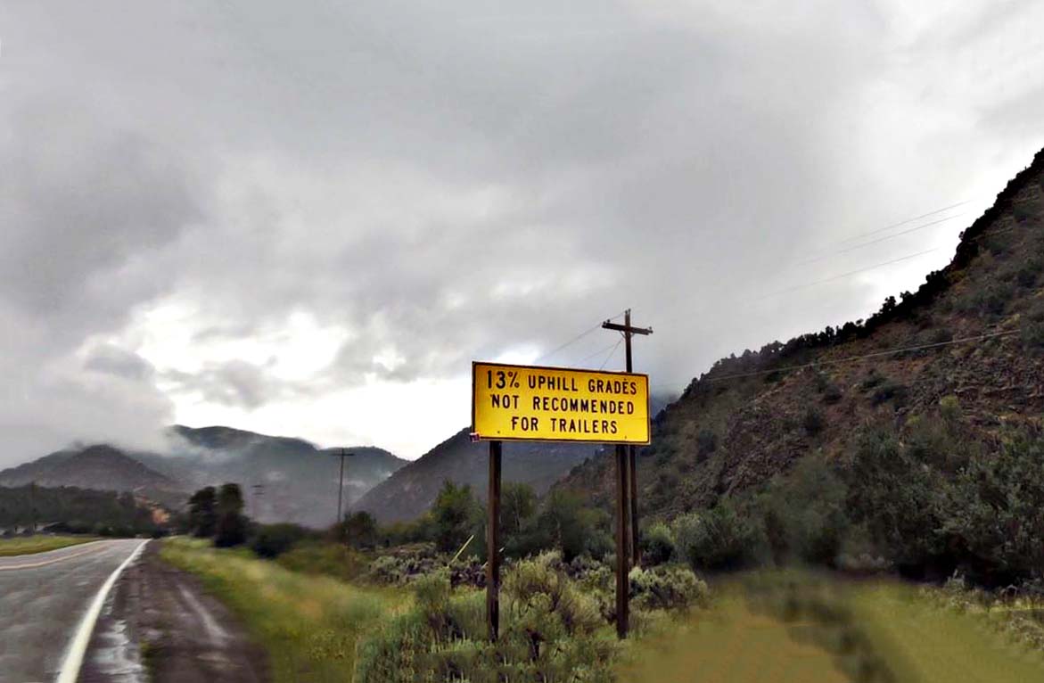
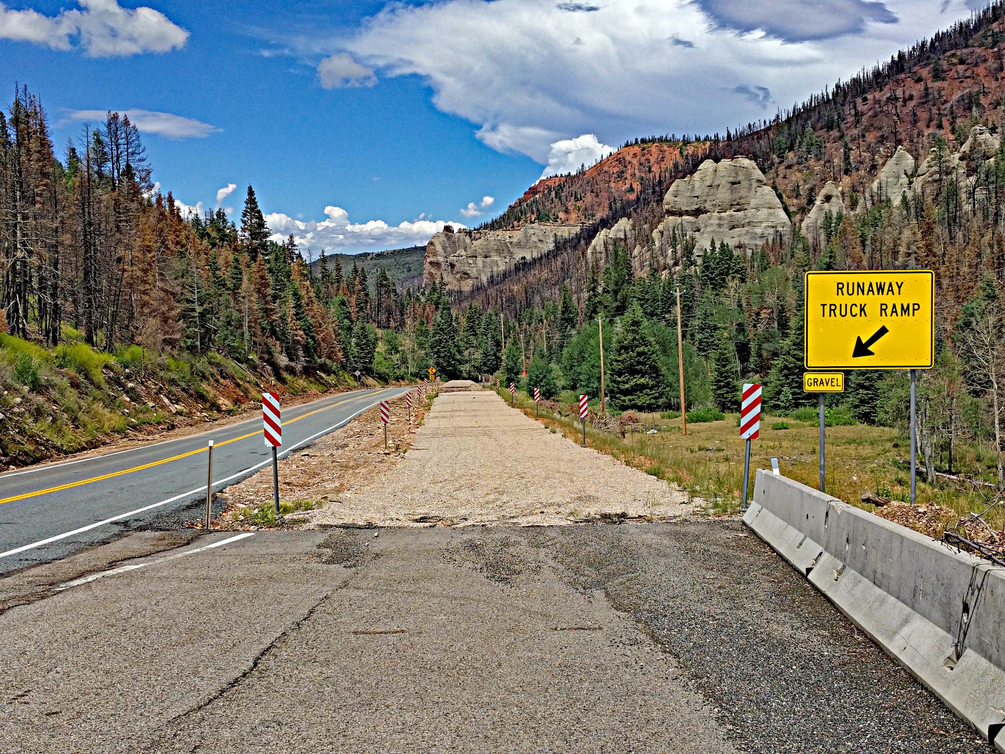
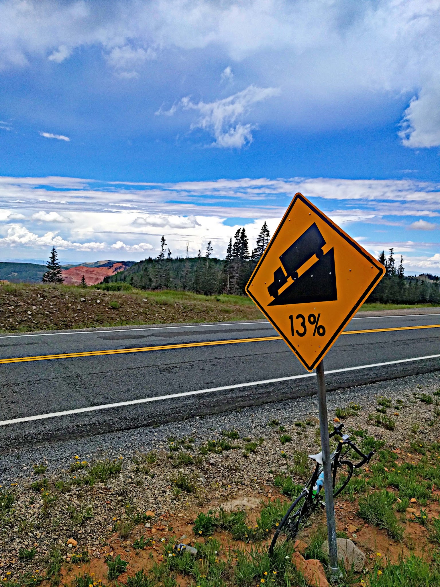
Roadway: SR-143 is a paved state highway all the way to the top, and the surface was in excellent condition when we rode it in 2019. Grades reach into the low teens in the canyon, which is why it is unsuitable for RVs and large trucks. Snow is possible outside summer, so check UDOT's road conditions before you go.
Traffic: Light, but fast-moving. It is a highway with minimal to no shoulder in places, so use lights and stay alert, especially in the canyon.
Parking: At Lions Park on Third E Street, a block to the west of our start - Map; Street View.
You are riding to high altitude, finishing more than 4,300 feet (1,300 m) above the start and above 10,000 feet, so it will be noticeably cooler and windier at the top than in Parowan. Be sure to consult the PJAMM Weather tool (Full Forecast) for the time you expect to arrive at the finish to decide what clothing to bring, and pack a windproof layer for the fast descent.
Parowan has a bike shop offering sales, service, repairs and rentals if you need anything before you start.
Before heading out on any cycling adventure check out our Things to Bring on a Cycling Trip and use our interactive check list to ensure you don't forget anything.
Consider the out-and-back that includes Highway 143 East which is 92 miles and 9,400' of climbing - Map.
Also consider climbs nearby such as Cedar and Right Hand Canyon Roads and Cedar Canyon (20 miles) and Kolob Canyon Road (39 miles).
Parowan, settled in 1851, is a pleasant place to spend a rest day. The Parowan Gap, with its petroglyphs, has a paved 22-mile round-trip ride, and the area has hosted the Tour of Utah (2018) and the Belgian Waffle Ride (2020). Cedar Breaks National Monument, with its 2,000-foot amphitheater of hoodoos, is a short drive beyond Brian Head on the same highway. In June 2017 a wildfire threatened Brian Head, forcing an evacuation of the town and the closure of Highway 143; some photos in our slideshow show the aftermath.
You can stay in Parowan, where the climb begins. There are also many options for house rentals in the area.
ROUTE MAP
MEMBER RATING
CURRENT WEATHER
PJAMM TRIPS ADVENTURE STARTER BUNDLES
Check out PJAMM Adventure's prepackaged (self-guided) cycling trips. They will help you plan, document and conquer your next adventure.
NEARBY CLIMBS (0) RADIAL PROXIMITY
FROM No Climbs Found
MEMBER REVIEWS & COMMENTS
Let us know what you thought of this climb. Signup for our FREE membership to write a review or post a comment.
Already have an account?
LOG IN HERE
Chaddad
If you do this early in the morning, you'll have a headwind for a few miles at the beginning. Don't be in a hurry because around 8,000 feet the road tips up and is a legbreaker for about 20-30 minutes (1000 feet in two miles) until you get a break at Brianhead. After the ski resort there is another solid mile of 8 percent above 9,000 feet before it eases a bit up to the top. If you ride a few more miles you'll hit the high point of the road around 10,400. Make sure you take the first right on top to the view area, which is incredible.
jsummers
A big climb, this one has almost everything as it begins as mild but eventually turns difficult before easing again towards the summit. The classic stretch is an S curve with double digit grade that begins about 10 miles in. You then ride through a small town as well before ending at high altitude.