34.9
PDI
23.5 mi
DISTANCE
6,374 ft
GAINED
5 %
AVG. GRADE
FULL CLIMB STATS
Page Contributor(s): Erwan Treguier, Brittany, France.
INTRO
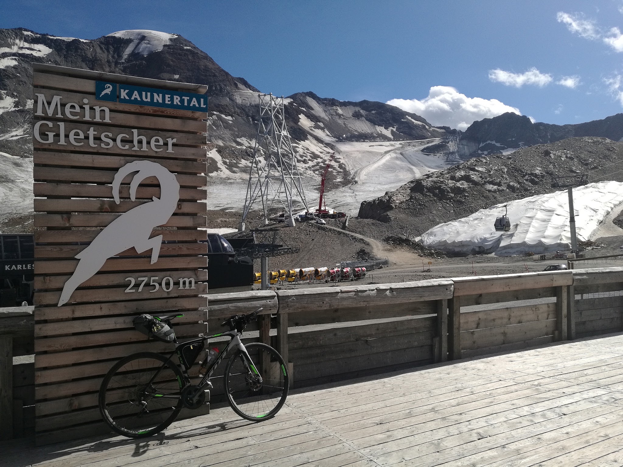
The Kaunertaler Gletscherstraße climbs 23.5 miles and 6,374 feet from Prutz, in Tirol's Landeck district, to the Kaunertal Glacier Ski Resort at 9,006 feet (2,745 m) - one of the highest paved roads in the Alps. The average grade is a manageable 5.0%, though the steepest kilometer touches 11.5% and the steepest stretches spike into the low twenties.
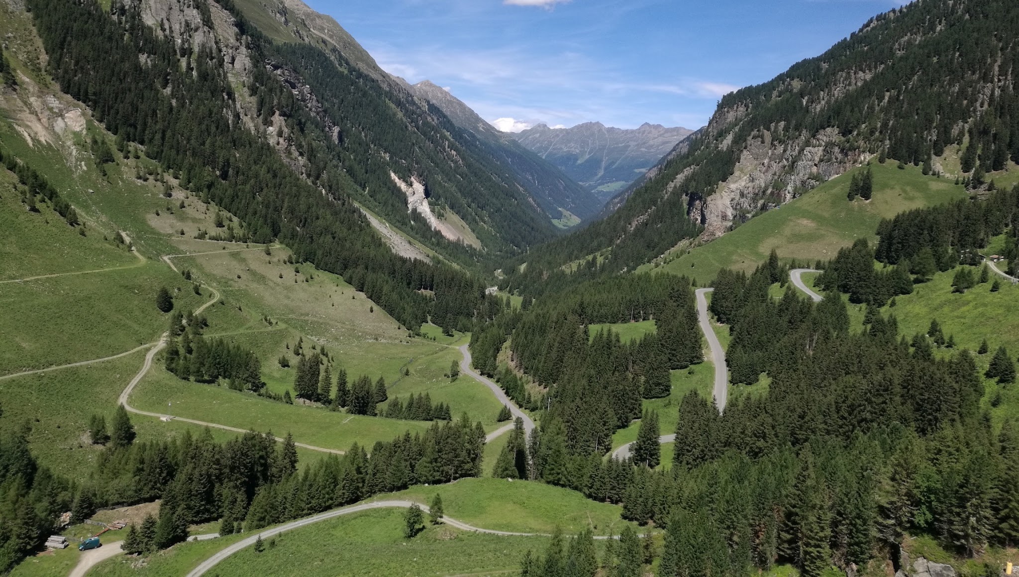
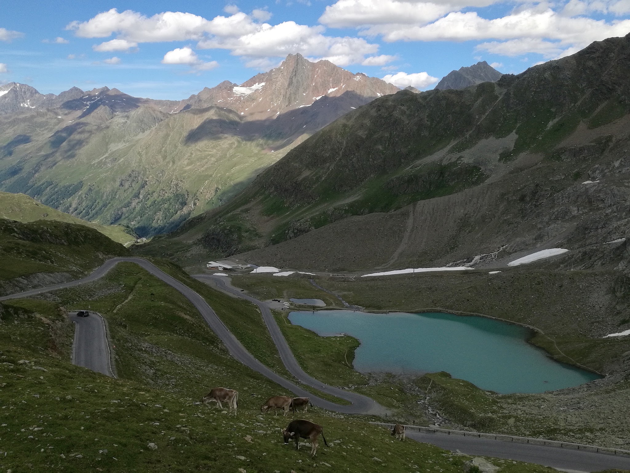
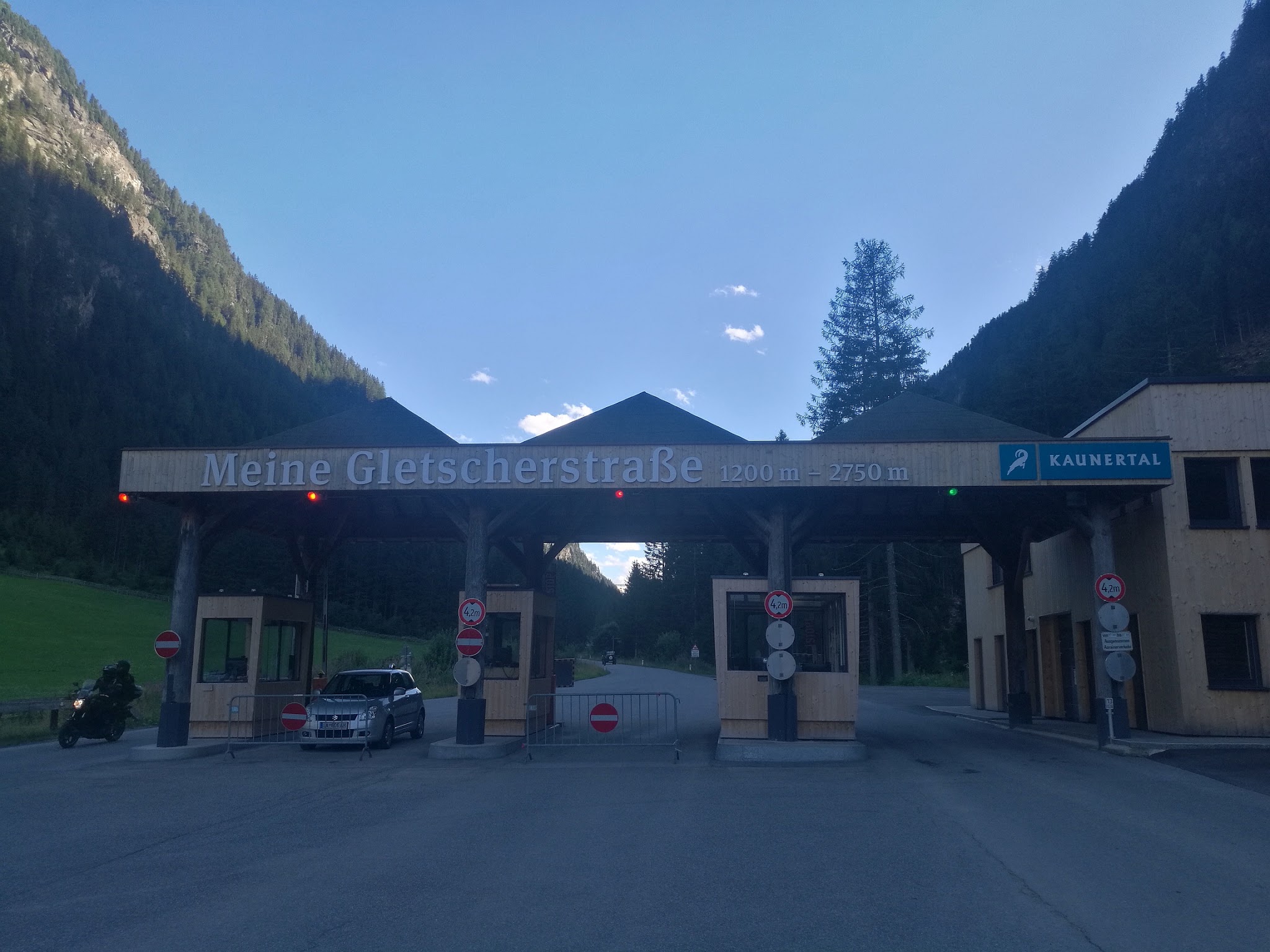
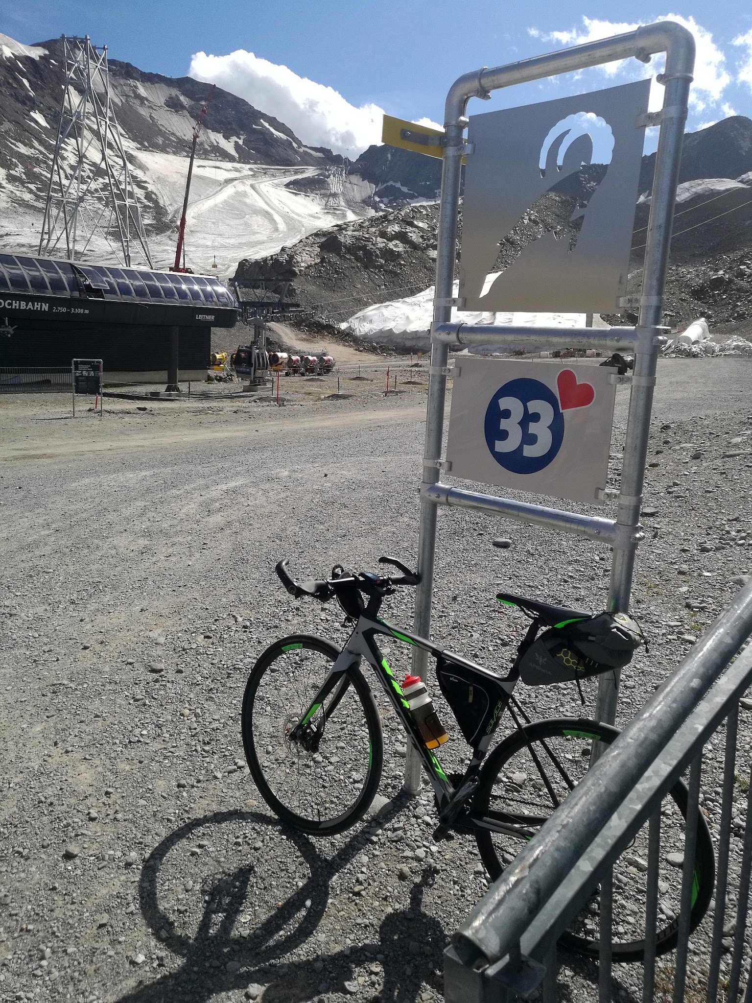
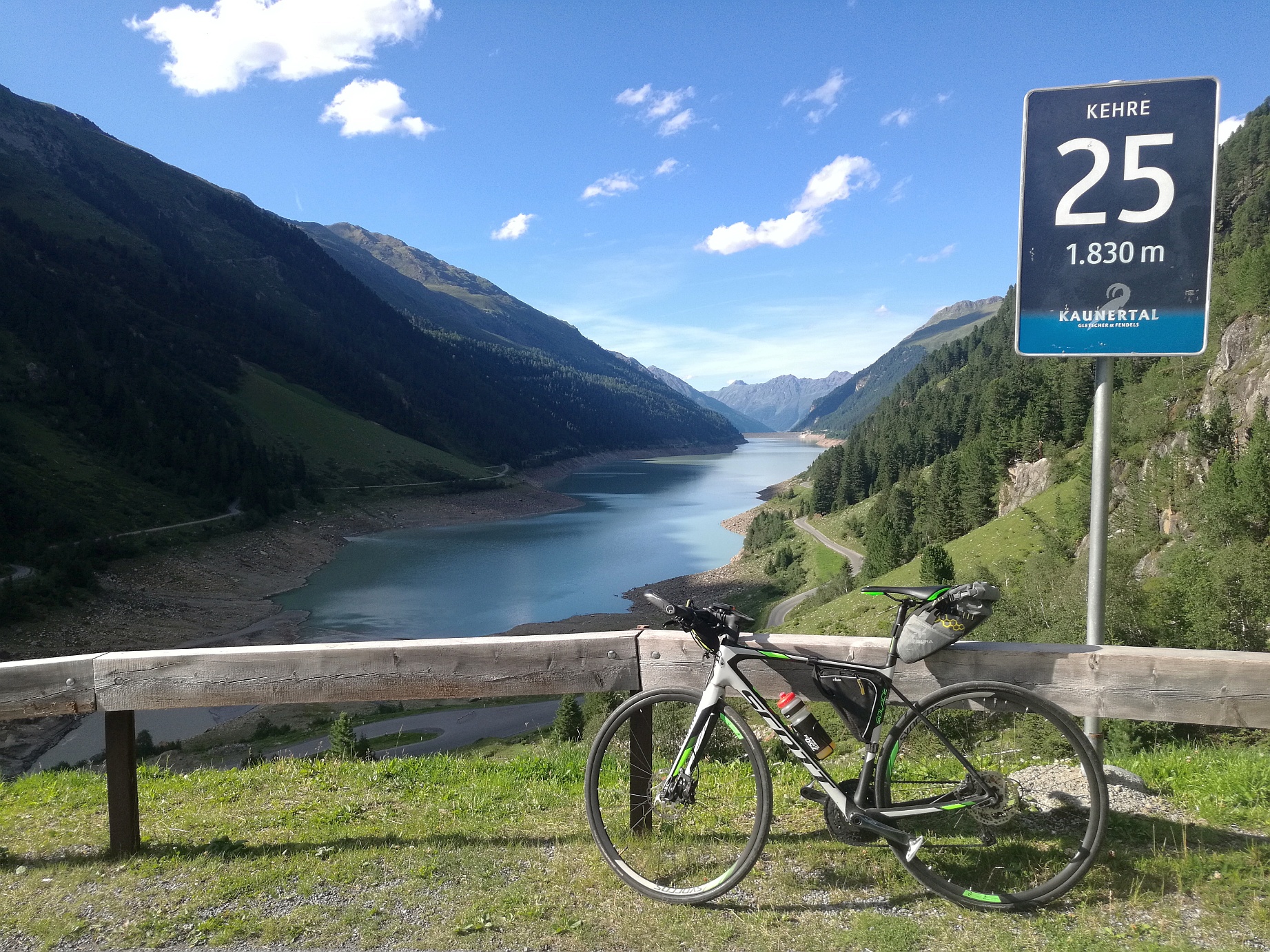
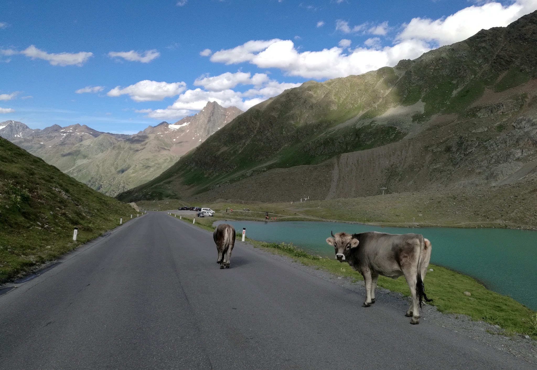
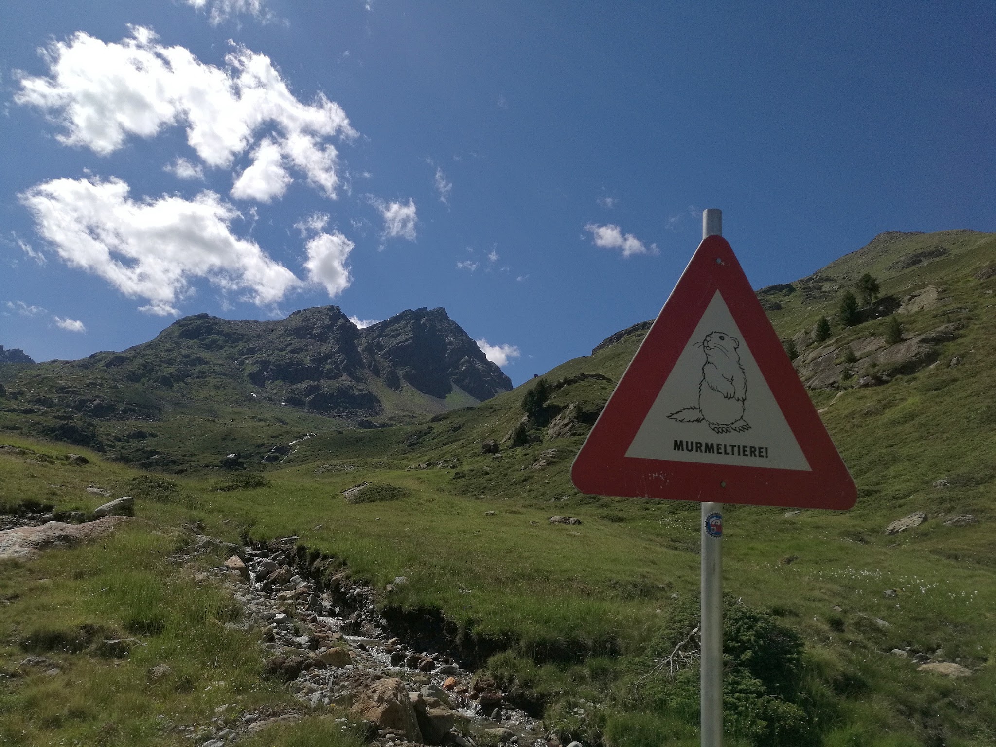
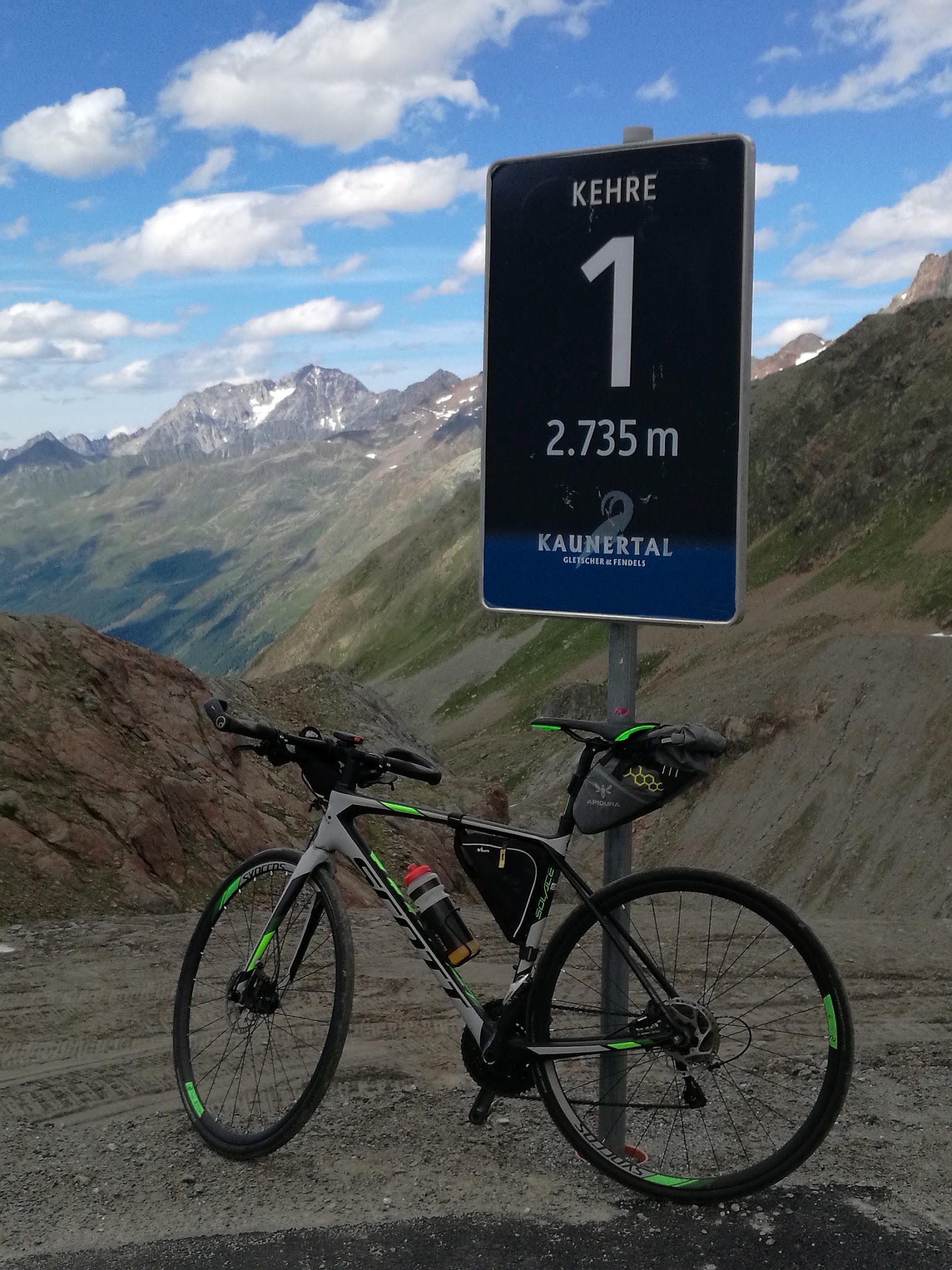
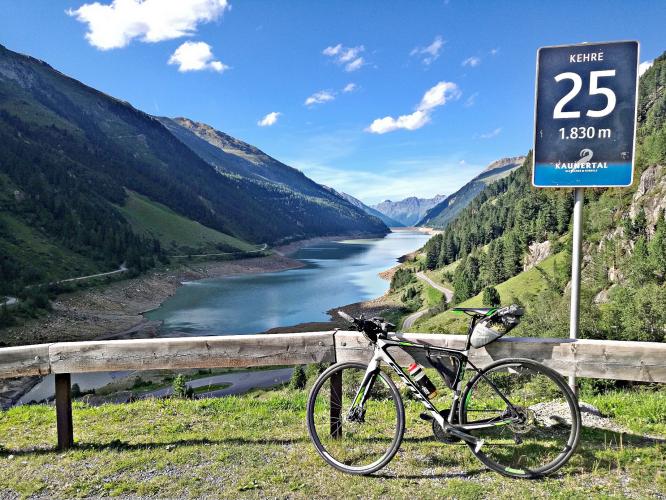
Erwan Treguier of Brittany, France first documented this climb for us, and his photos capture what makes it special - 29 numbered hairpins switchbacking up through the trees, two roughly 200-meter tunnels (lit, but bring a taillight), marmots along the upper slopes, and a spectacular stretch beside the turquoise Gepatschspeicher Reservoir around kilometer 20.5 to 26.2. Cars pay a toll starting at kilometer 12.2, but cyclists ride the entire road free of charge.
The road was built in 1980 to serve the Kaunertal glacier ski area and is kept open year-round, one of the few high alpine roads in Austria accessible outside the summer season. Two other notable Ötztal Alps climbs, Rettenbachferner and Timmelsjoch, sit within reach for a multi-day trip. Heavy rain triggered mudslides that closed the road in late June 2026; it reopened July 8 with a temporary single-lane restriction near the slide site, so it's worth checking current conditions before a visit.
PLAN YOUR ROUTE
 We've partnered with Sherpa-Map.com to bring you the best route planning tool. With a PRO Membership you can use this climb as a reference when creating your route.
 The average grade for the full 23.5-mile ascent is 5.0%, gaining 6,374 feet from Prutz (2,891 ft) to the Kaunertal Glacier Ski Resort at the road's end (9,006 ft). It's a generally steady climb rather than a brutal one - the steepest mile averages 10.9%, the steepest kilometer 11.5%, and the steepest 100 yards spikes to 25.0% on one of the many hairpins. Long, gentler stretches between ramps keep the overall average moderate despite those short, steep pitches, so gear for the ramps rather than the average.
Roadway: The road is paved the entire way from Prutz to the Kaunertal Glacier Ski Resort, including two roughly 200-meter tunnels below the reservoir (lit, but carry a taillight). Heavy rain triggered mudslides that closed the road in late June 2026; it reopened July 8 with a temporary single-lane restriction near the slide site - check the Kaunertal tourism office's current road status before you go, since Alpine debris-flow repairs can take a full season to fully resolve.
Traffic: Traffic is moderate to heavy on sunny summer days, since this is also the main access road for the Kaunertal glacier ski area's summer skiing and sightseeing traffic, plus a steady stream of cars and camper vans headed for the reservoir viewpoints. An early start beats the midday tour-bus and camper traffic, especially above the toll gate at kilometer 12.2.
Parking: Prutz is a small valley-floor village with free parking near the church and along the main street, and most riders start there. Free public parking is also available further up the valley in Feichten, if you'd rather warm up in the car and start the timed section higher.
Bring a wide-range compact or triple - the overall 5.0% average is manageable, but the steepest ramps run into double digits (steepest 100 yards 25.0%) with little warning between the many hairpins. The two roughly 200-meter tunnels near the reservoir call for a taillight.
Temperatures at the 2,745 m (9,006 ft) finish run well below whatever it is in the valley at Prutz, even in midsummer, so pack a windproof layer for the descent. Services thin out quickly above Feichten, so top off water and snacks before you leave the valley floor.
Before heading out on any cycling adventure check out our Things to Bring on a Cycling Trip and use our interactive check list to ensure you don't forget anything.
Prutz is a small but well-equipped valley village that doubles as a base for the Kaunertal, Pitztal, and Lower Engadine - Hotel Post in the village center offers Tyrolean and international food plus bike rental, and Aktiv Camping Prutz is set up specifically for cyclists and skiers passing through.
Spring through early autumn is the best window for road conditions on the upper switchbacks, though the road itself stays open year-round for the ski resort. Two other major Ötztal Alps climbs, Rettenbachferner and Timmelsjoch, are within reach for a multi-day trip if you want to make a longer stay of it. See other climbs nearby, or build a custom route from Prutz, with our Routes in the Area tool.
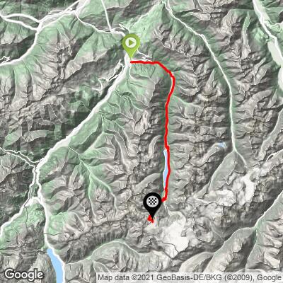
ROUTE MAP
MEMBER RATING
CURRENT WEATHER
PJAMM TRIPS ADVENTURE STARTER BUNDLES
Check out PJAMM Adventure's prepackaged (self-guided) cycling trips. They will help you plan, document and conquer your next adventure.
NEARBY CLIMBS (0) RADIAL PROXIMITY
FROM No Climbs Found
MEMBER REVIEWS & COMMENTS
Let us know what you thought of this climb. Signup for our FREE membership to write a review or post a comment.
Already have an account?
LOG IN HERE