29.5
PDI
22.3 mi
DISTANCE
5,635 ft
GAINED
4.7 %
AVG. GRADE
FULL CLIMB STATS
Page Contributor(s): Ron Hawks, Las Vegas, Nevada, U.S.A.
INTRO
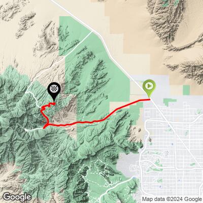
Kyle Canyon + Hwy 158 climbs 22.3 miles and 5,635 ft at a 4.7% average grade, from the Mojave Desert floor northwest of Las Vegas to 8,413 ft high in the Spring Mountains. The route follows Kyle Canyon Road (Highway 157) for 17.5 miles, then turns right onto Deer Creek Road (Highway 158) for the final 4.7 miles at 6.5%.
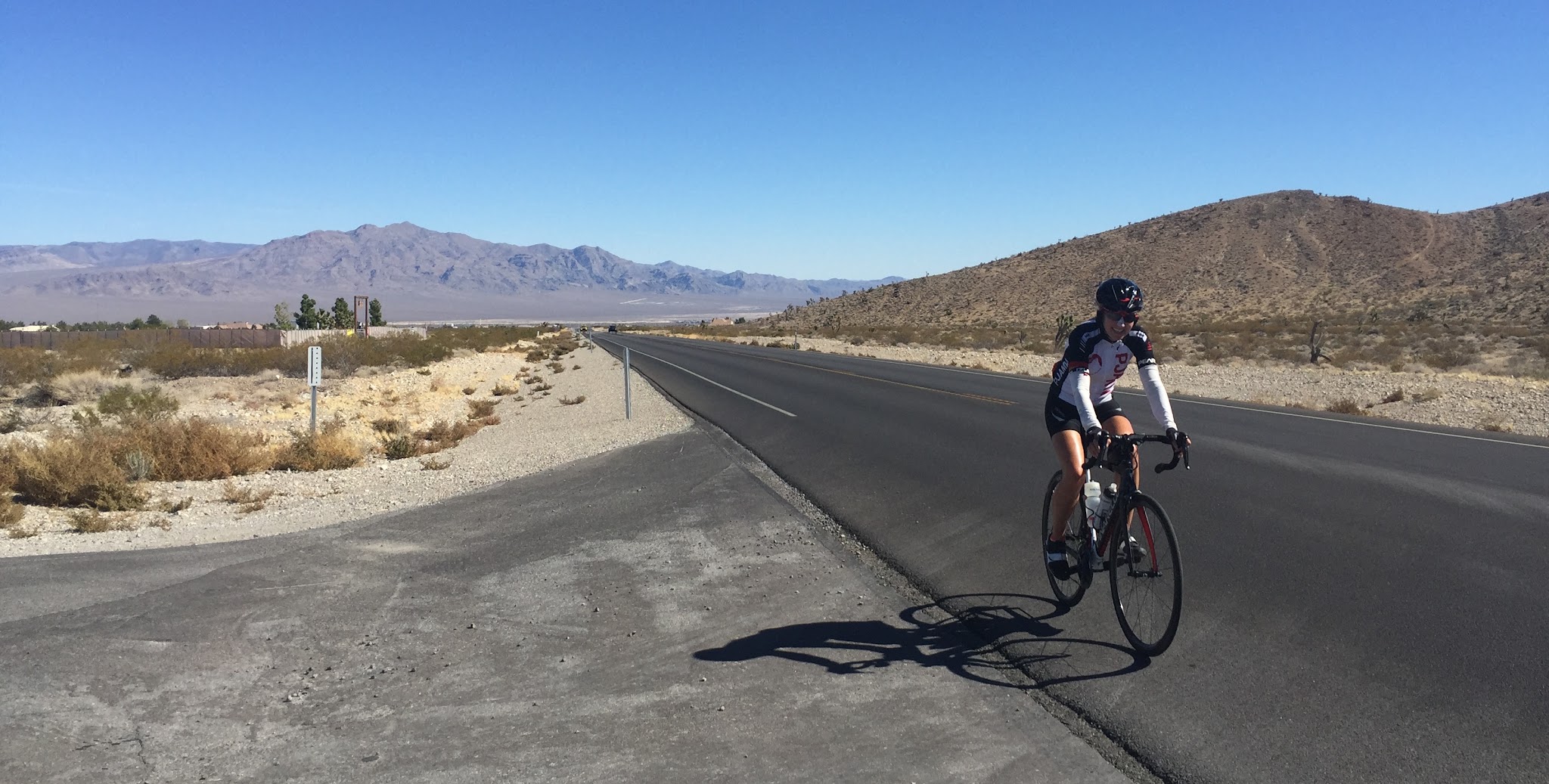
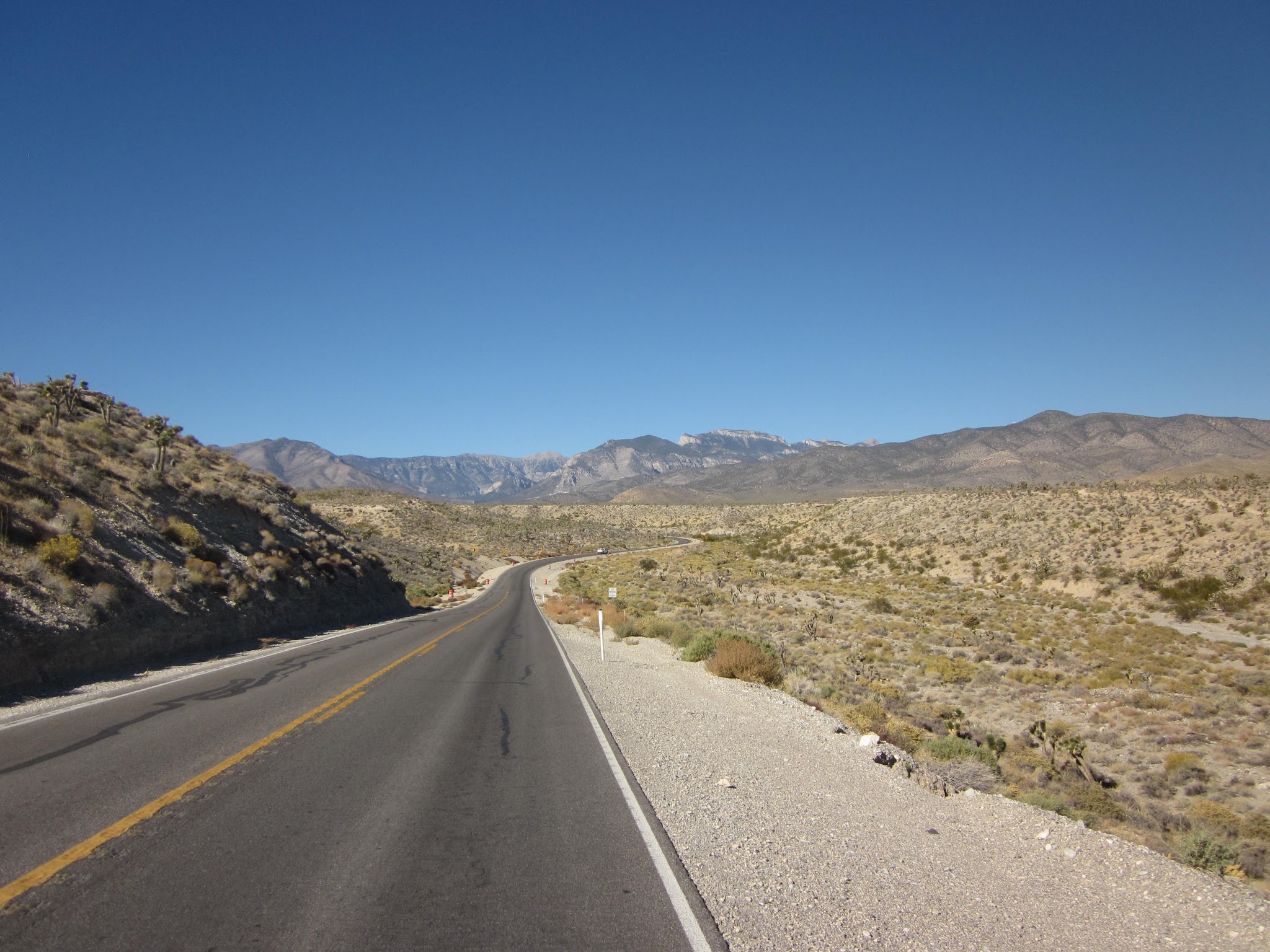
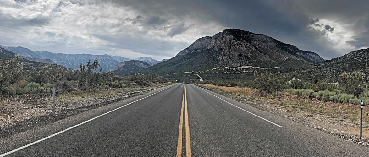
The first nine miles are in a somewhat bleak high desert environment. Around mile nine we begin to enter a canyon-like setting with more interesting views and rock formations, cross into the Spring Mountains National Recreation Area at mile 12.2, and climb from creosote and Joshua trees into pinyon, juniper, and finally tall pines. The last miles on Highway 158 are the prettiest of the ride, with very good views back over Kyle Canyon and southeast toward Red Rock Canyon National Conservation Area. Expect it to be roughly 20 degrees cooler at the finish than at the start.
This is one of four Top 100 US Climbs that start from the same stretch of US-95 - along with Kyle Canyon (straight up Highway 157 to its end), Lee Canyon, and Lee Canyon + Hwy 158. We once flew into Las Vegas early and did all four in a single day - about 90 miles and 12,000 ft of climbing. The roads here were badly damaged by flooding from Tropical Storm Hilary in August 2023, but all three Mt. Charleston highways were repaired and reopened that November.
PLAN YOUR ROUTE
 We've partnered with Sherpa-Map.com to bring you the best route planning tool. With a PRO Membership you can use this climb as a reference when creating your route.
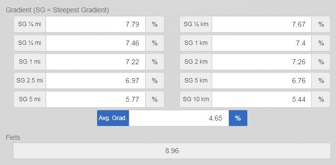
 A steady, highway-grade climb that averages 4.7% and never gets truly steep. The first 12 miles average roughly 3-4.5% across the open desert. The grade picks up to 5.7-6.8% for about three miles as you enter the canyon (miles 12-15), then eases back to 3-4% up to the Highway 158 turnoff at mile 17.5.
The final 4.7 miles on Deer Creek Road are the crux, averaging 6.5% and containing the steepest mile of the climb at 7.1% (starting around mile 19.5) and the steepest quarter-mile at 7.5%. Overall, 61% of the climb is at 0-5% and 37% at 5-10% - long and relentless rather than steep.
Roadway: Highway 157 is a two-lane highway in excellent condition, with a paved shoulder to ride in most of the way to the Highway 158 turnoff at mile 17.5. NDOT rebuilt the sections damaged by Tropical Storm Hilary's flooding in 2023, and both 157 and 158 reopened in November 2023. The final 4.7 miles on Highway 158 are on good pavement with a much narrower shoulder. In winter, snow and ice can close the upper roads for hours at a time or bring chain controls - check NVRoads before a cold-weather ride.
Traffic: Mild to mild-moderate on Highway 157, passing at highway speeds of 50-60 mph - this is not a ride for the traffic averse, although the shoulder helps a lot. Expect noticeably more cars on summer weekends, when Las Vegas heads for the mountains to escape the heat, and on winter snow days. Traffic on Highway 158 is mild.
Parking: Near the climb start, just off Kyle Canyon Road (Map; Street View). For a shorter day focused on the upper climb, the Spring Mountains Visitor Gateway on Kyle Canyon Road has a large lot (open 9am-4pm).
Provisions: None for the first 17 miles. Near the Highway 158 turnoff, the Spring Mountains Visitor Gateway has restrooms and water faucets (open 9am-4pm daily), and The Retreat on Charleston Peak has a sit-down restaurant. The historic Mt. Charleston Lodge at the end of Highway 157, which burned in 2021, has been under reconstruction since early 2026 with no reopening date announced, so don't count on it. Nothing is available on Highway 158.
Weather: This climb starts in the Mojave Desert, where average June-August highs run 99-104 degrees, and finishes over 5,500 ft higher. Summer riders should start at first light and carry plenty of water; winter riders may find snow on the upper road. Check conditions at both ends before you go with our Weather tool, and dress for a much colder descent.
Before heading out on any cycling adventure check out our Things to Bring on a Cycling Trip and use our interactive check list to ensure you don't forget anything.
Las Vegas is the natural base - the climb starts roughly 40 minutes from the Strip, and there's no shortage of hotels in Las Vegas at every price point. The northwest side of town (Centennial Hills, Summerlin) cuts the drive time further. For something quieter, the handful of lodges and cabins in Kyle Canyon let you wake up at 7,000 ft.
Late spring and fall are the sweet spots here: winter can bring snow to the top, and summer heat on the lower slopes is dangerous by mid-morning. If you're making a trip of it, Death Valley is only about two hours west and Zion National Park about 2.5 hours northeast - see our Death Valley National Park and Zion National Park pages.
Use our Routes in the Area tool to see all four Mt. Charleston climbs or build a custom route linking them.
ROUTE MAP
MEMBER RATING
CURRENT WEATHER
PJAMM TRIPS ADVENTURE STARTER BUNDLES
Check out PJAMM Adventure's prepackaged (self-guided) cycling trips. They will help you plan, document and conquer your next adventure.
NEARBY CLIMBS (0) RADIAL PROXIMITY
FROM No Climbs Found
MEMBER REVIEWS & COMMENTS
Let us know what you thought of this climb. Signup for our FREE membership to write a review or post a comment.
Already have an account?
LOG IN HERE
teddg
A 5600' climb a short drive from Las Vegas. I have done this climb over 20 times, and it is a challenge every time. There are provisions just past the roundabout at the Spring Mountain Visitors Center, or at the Hotel, just a few hundred feet further up the mountain.
I do not know what the other reviewer was saying about private property, Unless you turn off the road at the very top, as there is a road that goes to a youth detention facility.
cheminant
The climb as shown here enters private property. There is a gate at mile 23.3. I was stopped by security officers just past there and told it was private property and no one was allowed. The route needs to be updated so the top is at 36.31264845566142, -115.58685866546584. Otherwise some cyclist is going to get arrested.