16.2
PDI
8.5 mi
DISTANCE
2,895 ft
GAINED
5.7 %
AVG. GRADE
FULL CLIMB STATS
Page Contributor(s): Bruce Hamilton and Stacy Topping, Midway, Utah.
INTRO
The bottom of this climb is olive country, a narrow road squeezed between old groves, and the top is cool beech forest at 1000 m. In between you climb out of the heat of the Gioia Tauro plain with the Tyrrhenian Sea behind you.
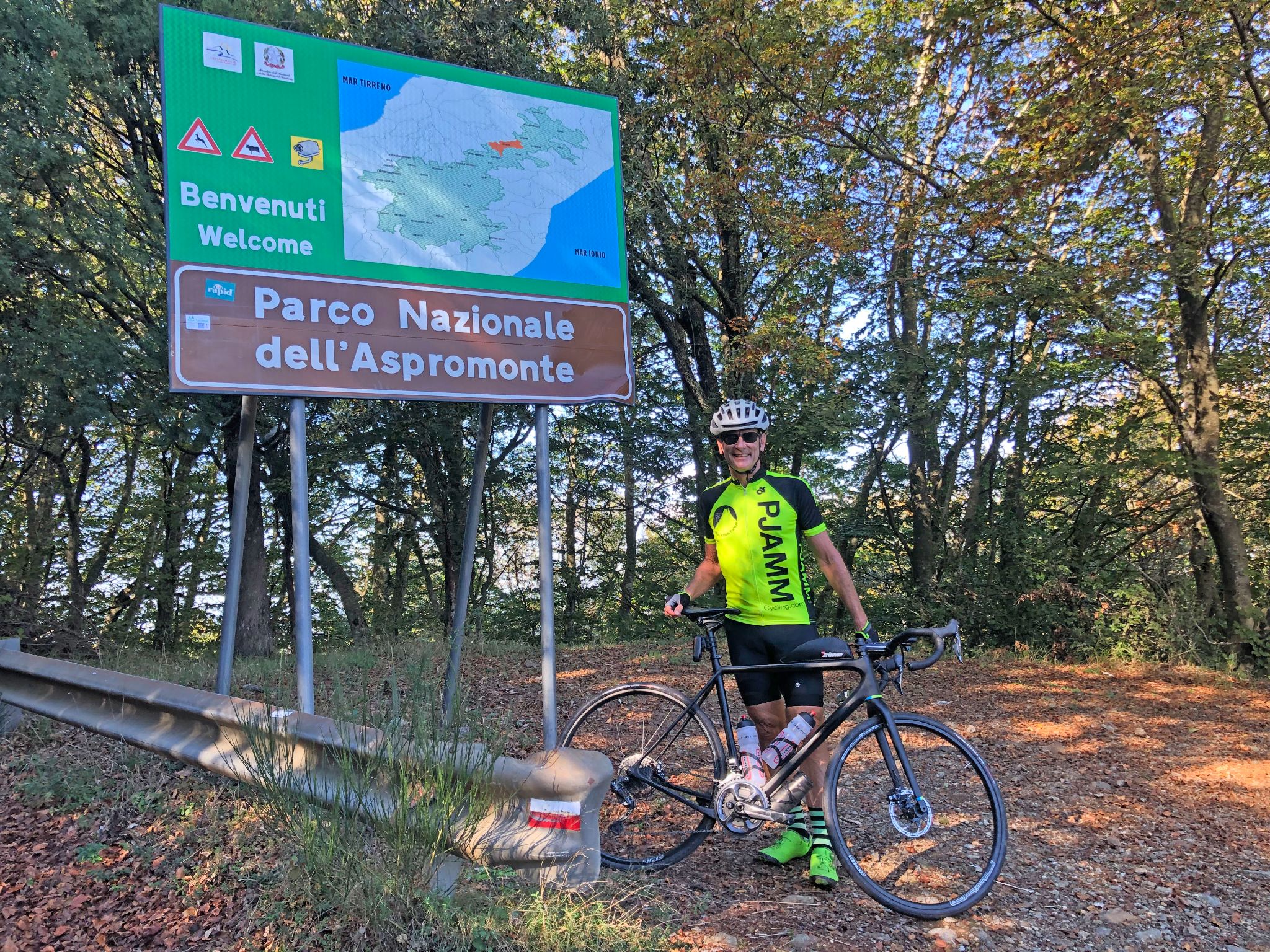
Our friend and ambassador Bruce Hamilton rode it with Stacy Topping, and his read on it holds up: climbs from this north side of the Aspromonte ridge tend to be steeper than the ones from the south. The first 4 km are easy, 3 to 4.5% through the groves. Then the road kicks up to about 10% for 2 km as it reaches the woods, eases for a kilometer, and runs at 6 to 8% most of the way to Villaggio Trepitò, with the last couple of kilometers easy again. All told it's 13.7 km (8.5 mi) with 882 m (2895 ft) of climbing at 5.7%, and the steepest kilometer is 11.2%.
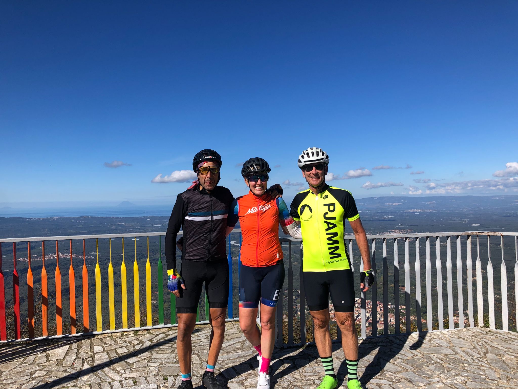
A couple of kilometers from the top, a very small road turns off to the right and runs a few hundred meters to a viewpoint over the whole plain and the coast. Bruce calls the view commanding, and it's worth the detour. The climb ends in tall beech woods just past the scattered houses of Villaggio Trepitò.
PLAN YOUR ROUTE
 We've partnered with Sherpa-Map.com to bring you the best route planning tool. With a PRO Membership you can use this climb as a reference when creating your route.
13.7 km (8.5 mi) from 247 m (809 ft) in Terranova Sappo Minulio to 1024 m (3361 ft) at Trepitò, gaining 882 m (2895 ft) at an average of 5.7%. The steepest kilometer averages 11.2% and the steepest 500 m 14.6%.
Km 0-4: 3 to 4.5% through the olive groves.
Km 4-6: the first real climbing, about 9 to 10.5% as the road heads into the woods.
Km 6-7: an easy kilometer at about 3%.
Km 7-11: 6 to 8% for 4 km, with the steepest pitches of the climb.
Km 11-13.7: easing to 1.5 to 4% past Villaggio Trepitò, with a last rise of about 6% to the finish.
Roadway: Paved throughout. It's a narrow local road: patched in places through the olive groves, with some rough and broken sections on the steeper middle part and rock cuttings beside the road, then smoother but often covered in leaves in the beech forest near the top. Aspromonte roads take a beating in wet winters, so watch for fresh potholes and debris after storms.
Traffic: Light. Mostly local cars and farm vehicles in the groves, and very quiet once you're in the forest.
Parking: Terranova Sappo Minulio is a small town and the climb starts right in it, so park considerately in the center and roll straight out.
Gear: A compact with a 30 or 32 at the back handles the 10% kilometers comfortably. Carry a vest or jacket for the way down - the beech woods at 1000 m are noticeably cooler than the plain.
Provisions: Fill bottles and buy food before you leave the plain or in Terranova Sappo Minulio - there's nothing to count on at Trepitò. In high summer, start early - the lower slopes in the olive groves get very hot.
Before heading out on any cycling adventure check out our Things to Bring on a Cycling Trip and use our interactive check list to ensure you don't forget anything.
When we rode Trepitò, we did our Locri climb from the Ionian coast on the same ride - the roads join along the ridge that runs down the middle of the toe of Italy, so crossing from one sea to the other and back in a day is very doable if you have the legs.
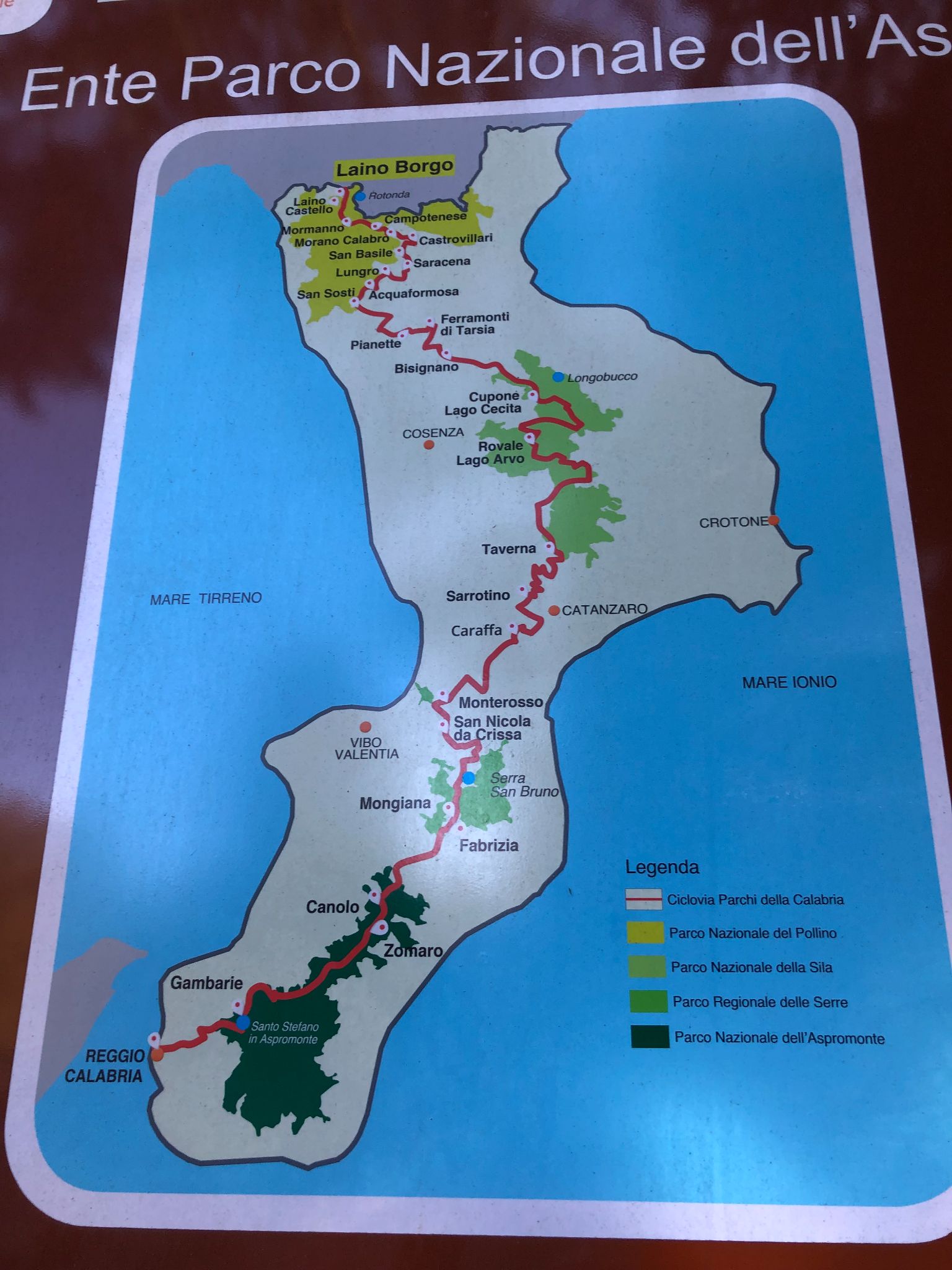
Several of our other Aspromonte climbs top out on the same ridge, so it's easy to string two or three together: Salita Oppido Mamertina - Zervò starts just down the road, Platì - Zervò comes up from the Ionian side, and Antonimina - Zomaro and Delianuova cover more of the park. Routes in the Area shows which ones link up with this road.
If you have walking shoes in the car, the trail to the Mundu and Galasia waterfalls starts from a small pull-off at Trepitò itself.
For a base, the towns of the Gioia Tauro plain are practical, and the Tyrrhenian coast is close by if you want a swim after the ride.
ROUTE MAP

MEMBER RATING
CURRENT WEATHER
PJAMM TRIPS ADVENTURE STARTER BUNDLES
Check out PJAMM Adventure's prepackaged (self-guided) cycling trips. They will help you plan, document and conquer your next adventure.
NEARBY CLIMBS (0) RADIAL PROXIMITY
FROM No Climbs Found
MEMBER REVIEWS & COMMENTS
Let us know what you thought of this climb. Signup for our FREE membership to write a review or post a comment.
Already have an account?
LOG IN HERE